Exploring Organ Pipe

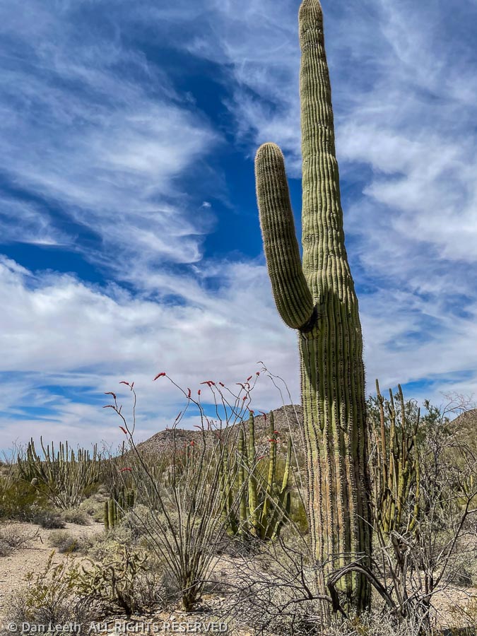
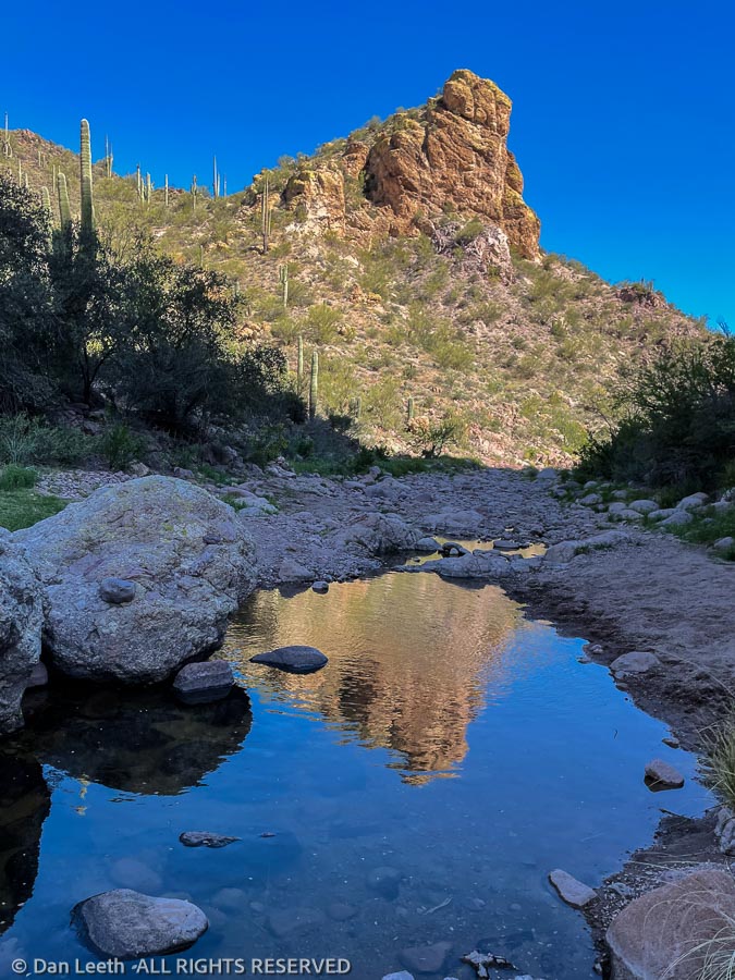
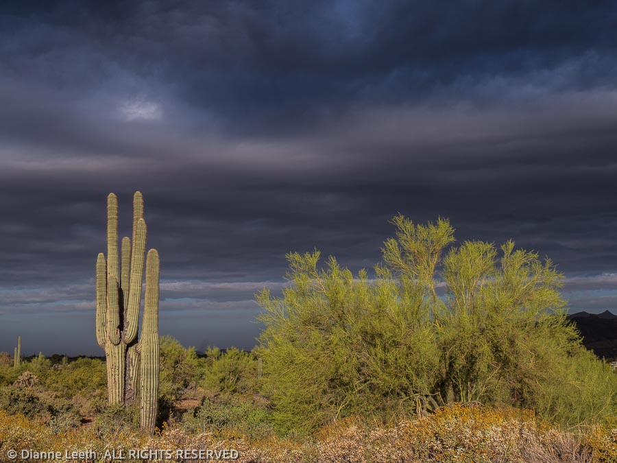
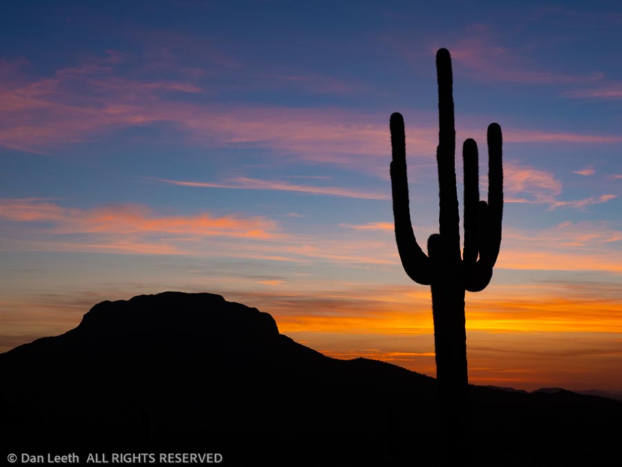
Arizona state law requires that every tourist visiting the desert must post at least one photo of a saguaro silhouetted in the sunset.  Here’s mine.

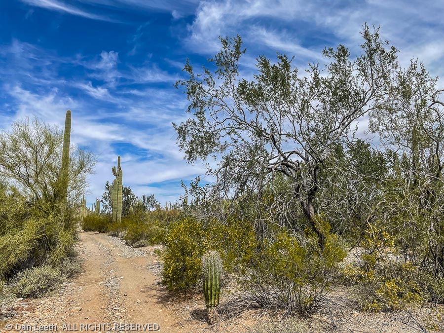
I suspect for most people, Organ Pipe Cactus National Monument is a one-and-done sort of place – stop at the visitor center, drive the Ajo Mountain loop, admire the wall and scurry back to civilization.  We have two full weeks down here and have not run out of things to do.

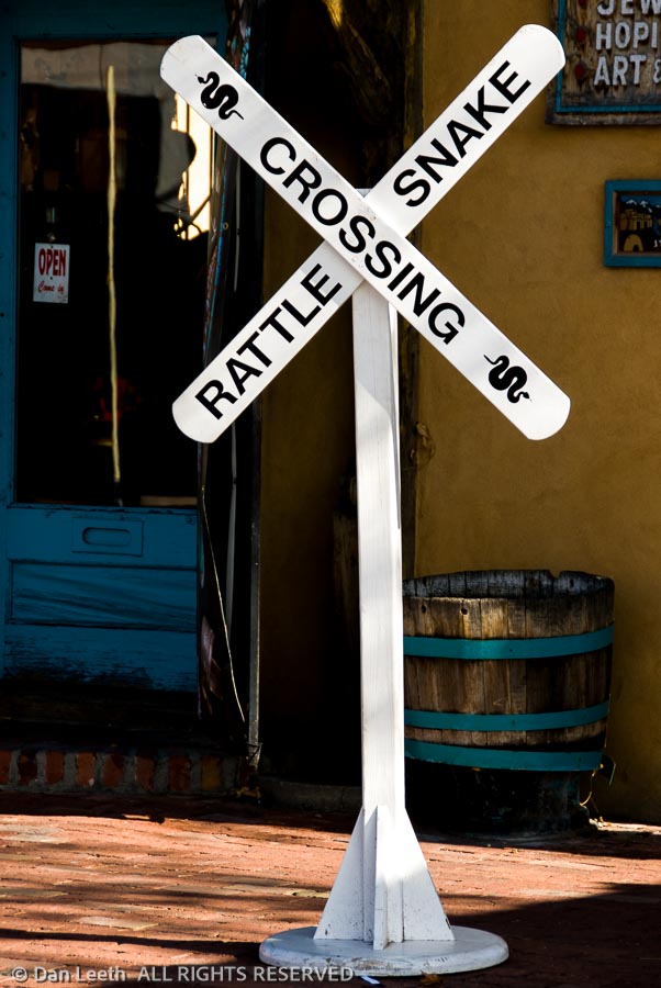
On Monday, we drove into the big city of Ajo.  One of the park rangers here at the monument wore some earrings Dianne liked and was told they were available at a shop in the Ajo plaza.  We also needed some groceries and were in need of a good burrito and margarita for lunch.  Unfortunately, the earring shop and most everything else in town was closed on Monday, but we did get groceries, a burger and quite possibly the second worse margarita I’ve ever endured.

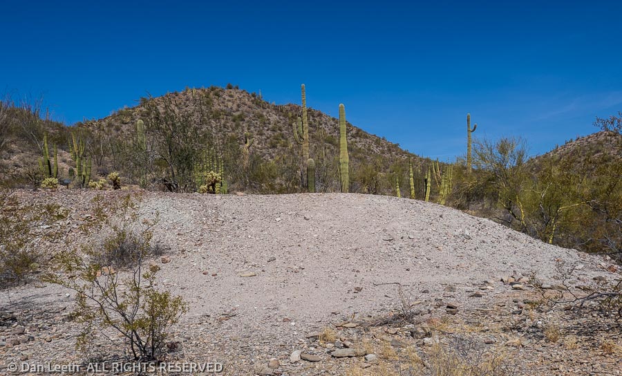
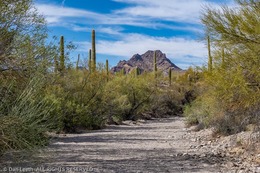
On Tuesday, we did an 11-mile hike that took us to the Red Tanks Tinaja, a natural depression in the rock that catches and holds rainwater.  It was dry.

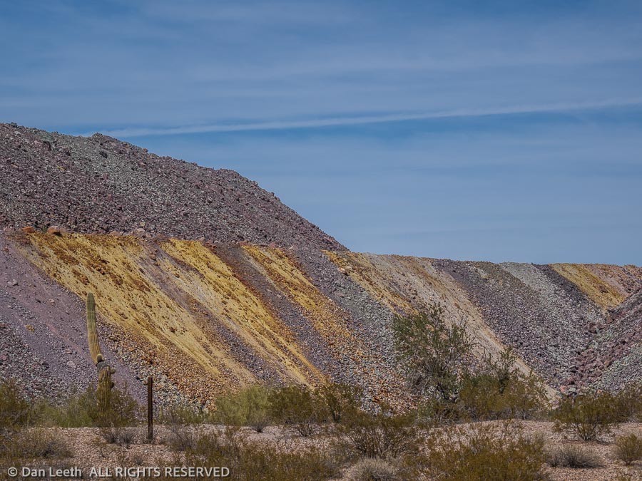
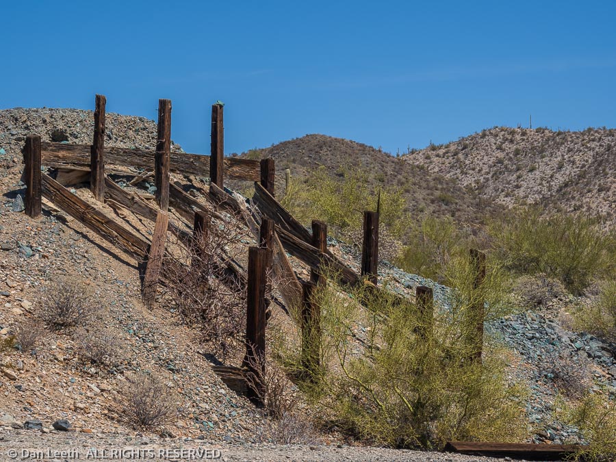
From there, we hiked on to the Baker Mine, which was little more than mine tailings.  Next stop was the Milton mine.

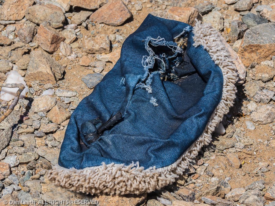
On our way to the Milton, we passed weathered piles of clothing left by folks who entered the country illegally, most likely drug smugglers.  The residue included camouflage garb and shoe covers with carpet soles, which don’t leave tracks in the sand. 

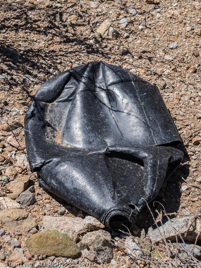
Nearby was one of the infamous black water bottles.  They’re specifically made for folks crossing the border illegally, colored black so they won’t reflect light.

The Milton Mine was a more extensive operation with more to see and explore. 

From there, we continued to Senita Basin, where we turned onto a trail that would take us back past the Red Tank Tinaja (still dry) and on to our truck., which waited beneath Pinkley Peak.  On the entire loop, the only other person we encountered was a trail runner out doing his Coopers on the rough, rocky trail.

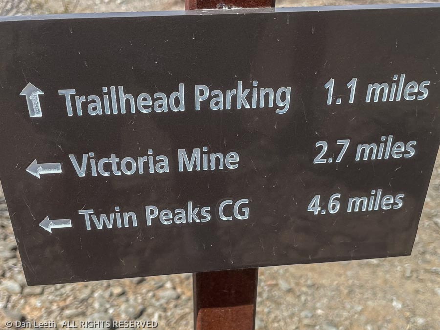
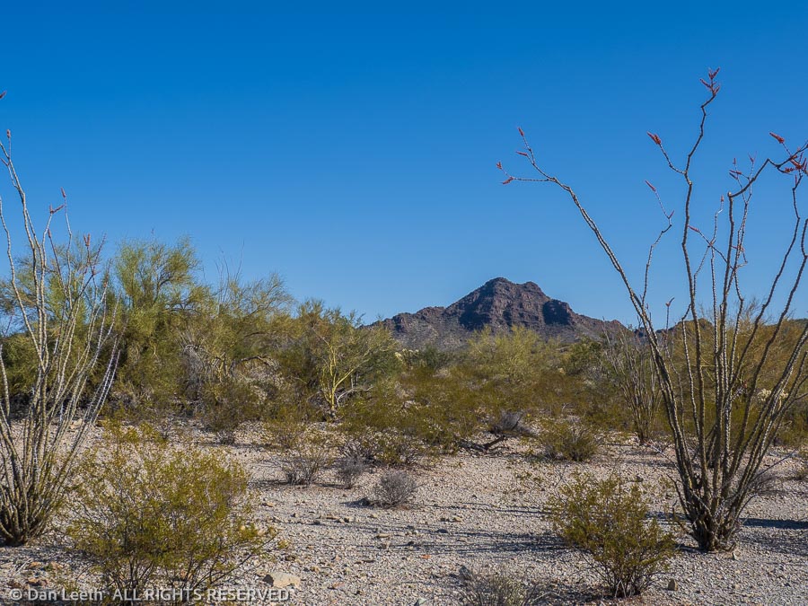
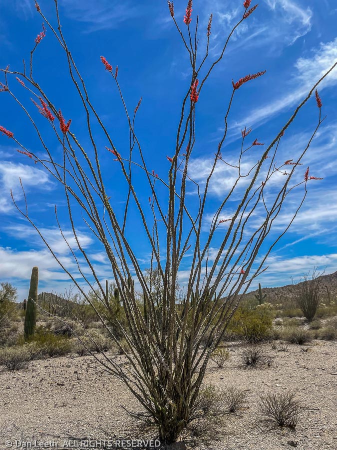
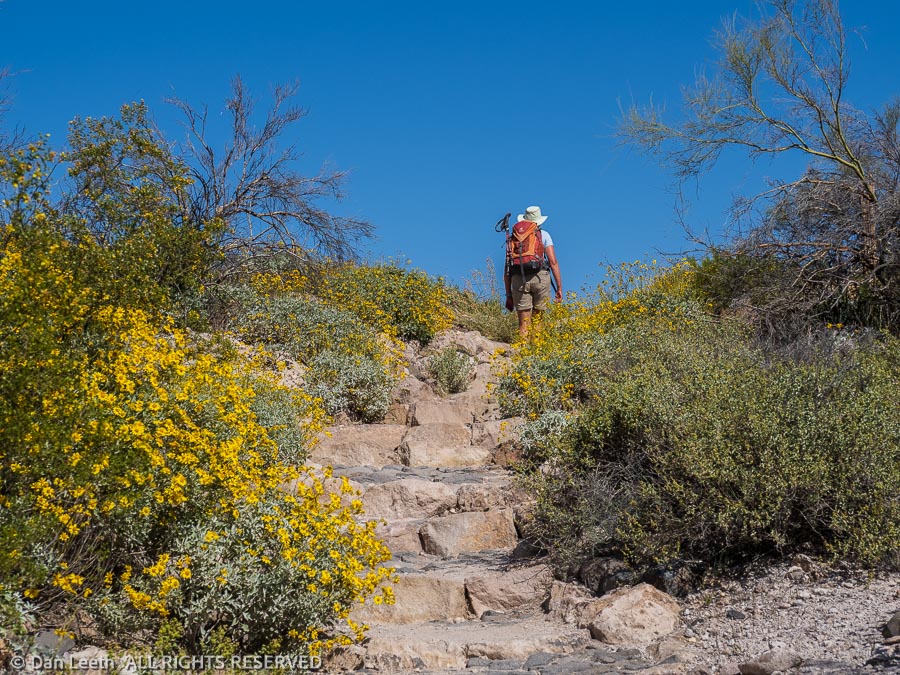
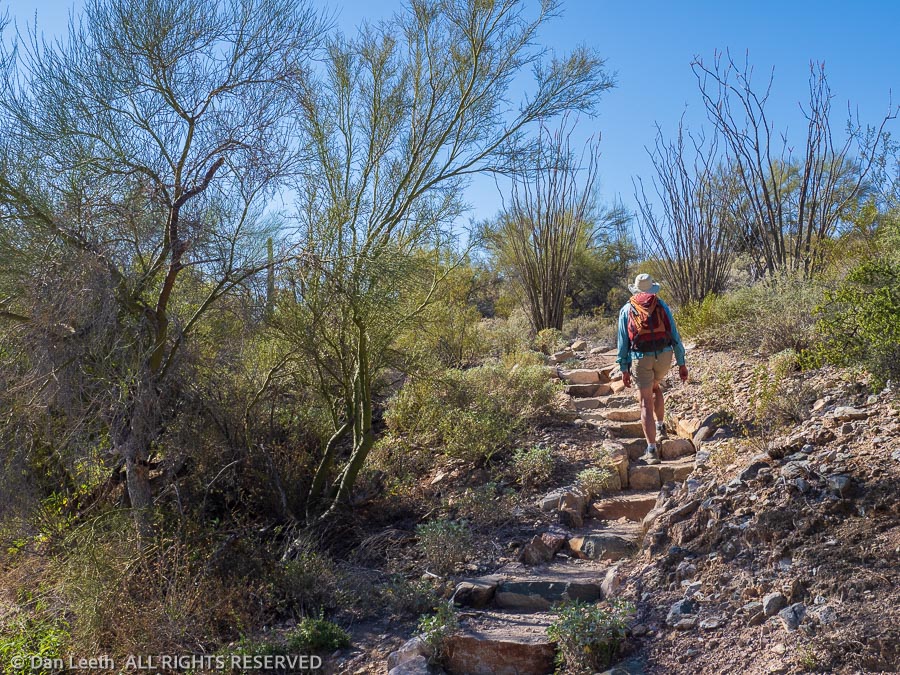
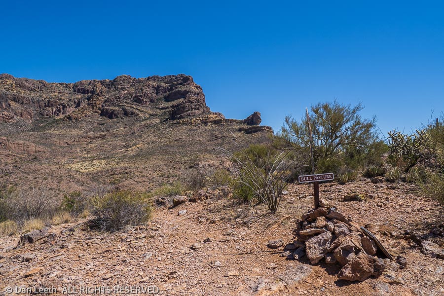
Wednesday was a flake-out day in camp.  On Thursday, we did a little four-mile trail in the Ajo Mountains, which led up to a place called Bull Pasture, a thousand feet above the valley floor.  Apparently some rancher used to bring his cattle up here to graze.  I have no idea how he got them here, but it wasn’t by our route.

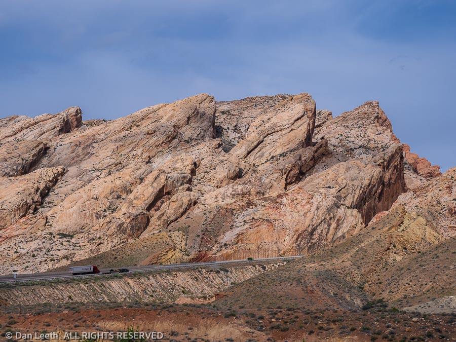
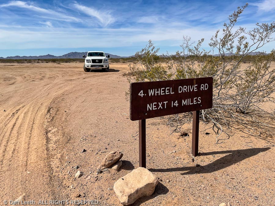
On Friday, we did a long drive up the Pozo Nuevo Road through the western side of the park.  The first part of the route was marked as a 4×4 road.  Instead of being a 4×4 road, it turned out to be a well graded route for its entire 14-mile distance.  It was smoother than I-70 through Colorado.

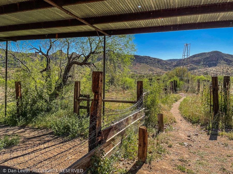
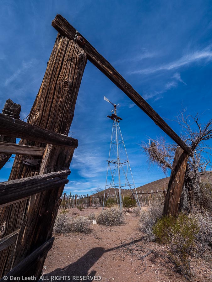
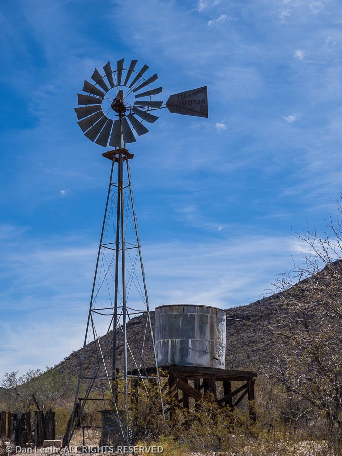
We stopped to explore the Pozo Nuevo line camp along the way.  Here stood the remains of a windmill and corral with various pieces of rusting equipment and furnishings lying about. 

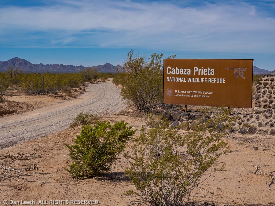
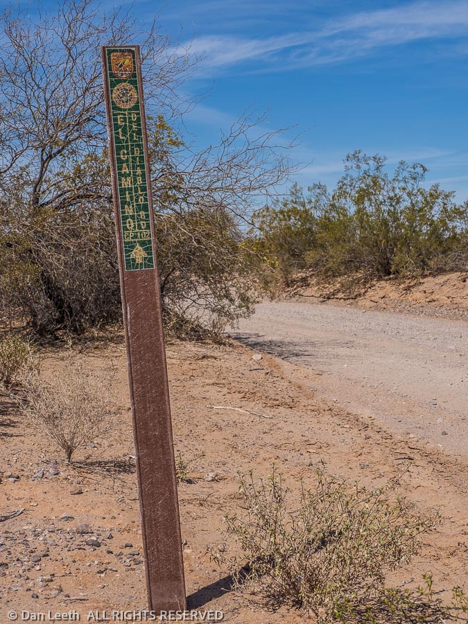
The Pozo Nuevo road T-bones into a road with two names – the Bates Well Road or El Camino del Diablo (the Road of the Devil).  We turned and headed west, following this Highway to Hell up to the park boundary and the start of the Cabeza Prieta National Wildlife Refuge. 

El Camino del Diablo continues as a true 4×4 route through the desert, crossing the wildlife refuge and proceeding on to Yuma.  I’d love to drive the entire Camino del Diablo sometime after we get the Bronco.

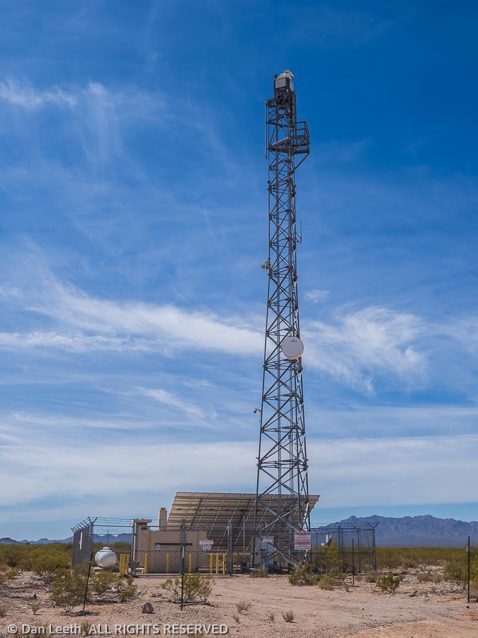
At the border of the monument and refuge sprawls a Border Patrol facility surrounded by razor wire and no trespassing signs. 

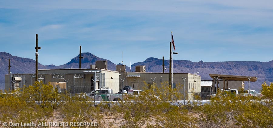
Across the street stands a huge surveillance and communications tower complete with cameras.  No doubt, some agent got a great shot of me relieving myself on a creosote bush. Returning on the narrow road, we met an officer driving a Border Patrol van.  While he did not appear happy to see us out there, he did not cite me for unlawfully watering the vegetation.

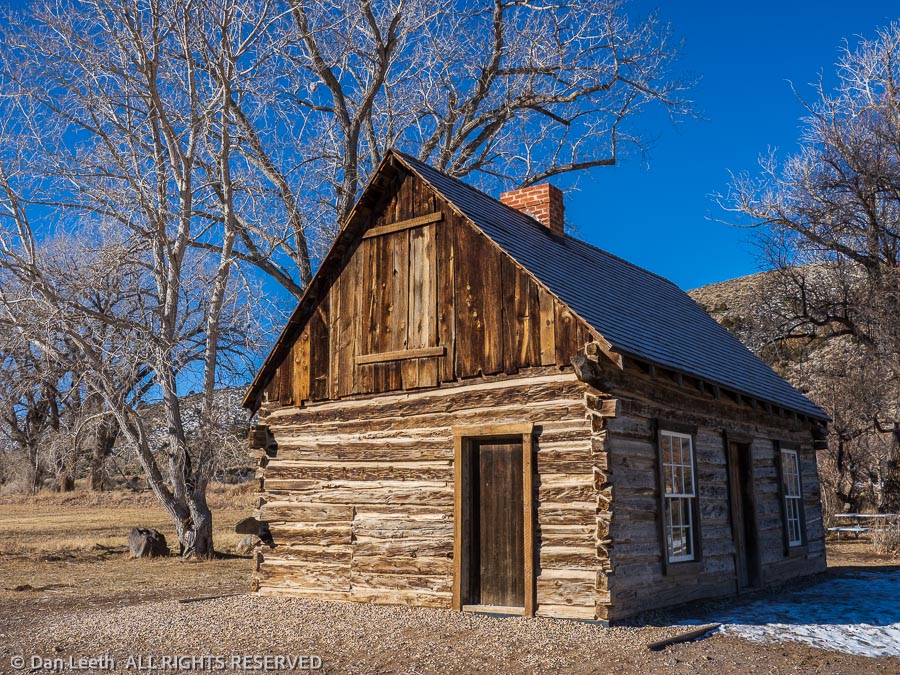
Heading east across the monument, we soon reached the Bates Well.  The Gray family lived here at the time the monument was created in 1937 and they were allowed to stay and run their ranch. 

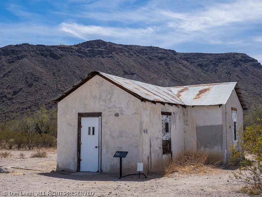
When Henry Gray, the last surviving member of the family died in 1976, the ranch was closed.  The home, buildings, windmills and tanks remain.

Continuing past the tailings from the Ajo Mine, Arizona’s first open-pit copper mine, we headed into town.  After burritos and brews at Tacos El Tarasco, Dianne went looking for her earrings.  Unfortunately, the lady selling them had closed for the season and evacuated to the Phoenix area.  While Dianne left with a full wallet, I found a nice T-shirt to buy.

My Wife Hates Heat

As we near the end of our Organ Pipe stay, we had just three park trails left to hike.  The longest was the three-mile Senita Basin loop.  A nice, graded road leads to the trailhead. 

“We’ll drive out, hike the loop and motor back to the trailer for lunch,” I suggested to my lovely wife.

“No!” she insisted.  “I want to hike from here.”

A series of trails connect the campground with the Senita Basin loop.  The first two miles follows the trail to the Victoria Mine, a trail that goes down, across and up no fewer than 987 washes and arroyos.  A 1½-mile connector trail goes from there to the three-mile-long Senita Basin loop.  From the trailer, we’d be doing a nice 10-mile out-and-back hike. 

No problem, except it was 10:00 a.m. in the morning and the high temperature for the area was predicted to exceed 95 degrees by midday.  And my wife claims to hate heat.

So, after a lengthy discussion, we compromised and did it her way.  We filled water bottles, hoisted packs and took off into the unforgiving desert smack dab in the heat of the day.  Nary a breeze ruffled the leaves of the desert plants.  Even the sun-loving lizards sat in the shade, looking at us in baffled wonderment.  Turkey vultures circled ominously overhead. 

Other than a handful of people we met on the Victoria Mine trail in the morning, we had the desert to ourselves.  We walked along, admiring the beauty of hedgehog cactus and ocotillo in bloom.  Stopping in the shade, we were serenaded by a handful of unseen songbirds.  It was a beautiful time to be in the desert.

On the return, my heat-hating wife took the lead, sprinting up and down the washes and arroyos.  Ahh, to be young again.

Back at the trailer, it was 108 inside.  We stripped off our boots and retreated to the shady edge of our campsite.  That first beer tasted so good, I had another.  Showers followed.

Goodbye Organ Pipe

Our two-week stay at this border-hugging national monument has come to a close.  We’ve driven the drivable roads and hiked nearly all of the formal trails.  It’s time to move on to Apache Junction and the Superstition Mountains where we will meet friends and continue our search for the elusive Lost Dutchman Mine.

Hello Lost Dutchman

On our first full day at Lost Dutchman State Park, we and our camping buddies from Colorado began our search for the lost mine of Jacob Waltz, the Dutchman.  We figured ol’ Jake would have dug his mine along a trail named for him, so we began our search with a hike down Jacob’s Crosscut Trail.

Beginning off the park’s Siphon Draw trail, the Crosscut Trail parallels the face of Superstition Mountain for about five miles.  The trail is relatively level and the views are stupendous with a shag carpet of brittlebush in bloom. 

Finding no veins of gold, our friends turned around at the 3½-mile point.  Dianne and I continued another 1½ miles to where the trail ends at some homes on Broadway Lane. 

These domiciles, I suspect, cost far more than the value of all of the gold the Dutchman dug from the ground.

Here we met the Lost Mine Trail, which no doubt goes directly to Jake’s lost diggings.  It’s hard to believe the mine is still lost if there’s a trail going straight to it. 

Unfortunately, we didn’t have time today to hike up and recover any of that lost gold, so we turned around and headed back to our campsite. Today’s golden treasure will come in cans.

The Search Continues

We’ve been here over a week now, and we still have not found the famous Lost Dutchman Mine.  Instead of striking gold, we’ve found lots of striking reptiles.

On Saturday, we searched for the Dutchman’s lost treasure on the Treasure Loop Trail in Lost Dutchman State Park.  Instead of gold, we met a fellow hiker who told us there was an obstinate buzz-worm on the trail ahead.  The thing refused to move, even though they were throwing rocks at it.  We wisely took another route.

On Sunday, one of the campground wallys scraped up the remains of a buzz-worm that had been run over on the pavement.  The little buzzers like to warm themselves on the pavement at night, which as this one found out, can be detrimental to a snake’s health.

Monday, I took a short battery-charging drive in the Titan.  When I got back to camp, I found a small buzz-worm squished on our campsite drive.  I must have backed over it when I departed the campsite.  I’ll look more carefully next time I walk up to the truck.

That night, we attended the Picture Perfect Wine Tasting in the park.  It featured good food, ample quantities of wine that didn’t come straight from a three-liter box and raffles that we didn’t win.  Walking back to our camp, we were sure to carry a flashlight and look for slithering reptiles warming themselves on the pavement.

On Tuesday, we did a pleasant 9½-mile search for the missing mine from the First Water Trailhead.  The ranger there didn’t give us any clues as to the mine’s whereabouts, but he did warn us to be on the lookout for buzzers. 

“They’re hungry, horny and aggressive,” he advised.  “Don’t go walking through the grass.”

We only found one, maybe a 2½-footer, and it was slowly slithering off the trail looking for some shade.  I don’t know if this guy was another d-back  or one of the more toxic green mojaves.  It may have been hungry or horny, but it sure wasn’t aggressive.

They say the Dutchman was a beer drinker, so on Wednesday, we headed into town for a few research brews (and pizza) at my favorite Apache Junction bar – Fry’s grocery store.  I sure wish Kroger would build one of these super stores with an in-market bar somewhere in Grand Junction.  It gives us guys something to do while our wives are maxing out the MasterCard on food purchases.

Today’s mine search was a short 5½-mile romp past an old windmill and corral.

From there, we continued up First Water Creek to Hackberry Springs.  Most of the route followed the creek bed, which featured inviting pools of water along the way.

Around midway to the spring, we ran into a small diamondback right on the path.  It was coiled with its head up, but it rudely didn’t offer a welcoming buzz.

Our return to the First Water Trailhead took us through Garden Valley – one of my wife’s favorite spots in the area.  When we were last here, the place was truly a garden, and Dianne was eager to show it to our hiking buddies. 

Unfortunately, a series of wildfires sparked by lightning and/or Jewish space lasers changed the looks of the place. 

Our friends may not have been treated to a delightful garden, but at least they’ll get to say they met an Arizona buzz-worm.

By Popular Demand

Apparently, my mother-in-law doesn’t like snakes.

“Why don’t you post pictures of pretty desert flowers instead?” she asked my lovely wife.

Well, it hasn’t been a good flower year down here, but here are shots of a few pretty desert flowers we’ve passed by on our elusive search for the Dutchman’s lost gold mine.

Prickly Pear Cactus
Globemallow
Desert Marigold
Hedgehog Cactus
Southwestern Mock Vervain

Still No Mine

Our search for the Dutchman’s lost mine continues. 

We figured our hunt for this lost ledge of gold might go better with a map, so we stopped down at the Superstition Mountain Museum on Friday to see what was available.  This one, would probably work as well as any.

That night, all six members of our search party attended the Old Time Rock ‘N’ Roll show at Barleens Dinner Theater in Apache Junction.  A fun evening of golden oldies might be as close as we’ll get to the precious metal on this trip.

The next day, we all went our separate ways in search of the lost mine.  Thinking that the Dutchman might have left a clue in the rocks, Dianne and I chose to explore the petroglyphs surrounding the springs off the Hieroglyphic Trail. 

We were amazed that in a location this popular, the ancient petroglyphs were little marred by modern-day graffiti.  As far as we could see, the Dutchman etched no clues to his mine’s location here.

On Sunday morning, we headed up the Apache Trail to Tortilla Flat, which once served as a stagecoach stop back when the Roosevelt Dam was being built in the early 1900s. Fortunately, new restrooms have been built since then.

These days, it’s a popular tourist trap that serves great food.  Not one member of our search party finished his or her breakfast.

Monday morning, we hiked up Peralta Canyon, named for the Mexican family who supposedly once mined gold in this area.

We stopped atop Fremont Saddle. Below us stood Weaver’s Needle, long a center of attention for Dutch hunters.

In East Boulder Creek Canyon below the Needle, well-armed, rival groups led by Celeste Jones and Ed Piper both searched for the Dutchman’s, Peralta’s or Jesuit’s lost gold.  Fortunately, we did not have to fight any of our fellow hikers over the golden views.

It’s Tuesday morning, and our two-week stay at Lost Dutchman State Park is rolling to a close.  Today is pack-up and drain the tanks day.  Tomorrow, we hitch up and tow our home back to Colorado where the weather reports say it’s currently snowing.

Our ongoing search for the Dutchman’s Lost Mine will continue with a return trip sometime in the future.  After all, that mine has to be around here somewhere, and we intend to find it.

Never Pass up a Good Sale

It seems like every year, I get email promotions from Xanterra offering discount prices for winter stays at their Zion Park Lodge property.  This year was no exception.  “Wanna take a getaway trip to Zion National Park?” I asked my wife of 40 years.

“Does that mean we wouldn’t get to stay huddled up in this cold, damp trailer for a week?” she responded.

“Does that mean I wouldn’t get to cook, clean or go shopping for a week? 

“Does that mean that we’d have to look at towering cliffs out our windows instead of the neighbors’ trailers? 

“Let me think about it.”

Not wanting her to blow a fuse in her thinking equipment, I went ahead and booked a five-night stay in one of the Zion Park cabins for a Monday-Friday stay in January. 

Even though Zion is an easy day’s drive from our new hometown of Fruita, I reserved a night at a Super 8 for the drive down.  That would give us time on our departure day to “winterize” the trailer.

Late Sunday morning, we were on our way.

From Here to There

Our first day’s drive was from Fruita, Colorado, to Richfield, Utah, on Interstate 70.  It’s a route we’ve taken numerous times over the 38 years we’ve lived in Colorado.  The day was sunny, the roads were dry and the speed limit once we reached the Utah border (19 miles from home) was 80 mph. 

The stretch through the San Rafael Swell west of Green River is one of the prettiest stretches of interstate highway in the West.

We spent the night in Richfield at one of the nicer Super 8 motels around.  After the typical Super 8 waffle breakfast the next morning, we hit the road.

There are two ways to get to Zion from here.  One is to continue down I-70 to I-15 and enter the park from the west.  The other is to take the more scenic U.S. Highway 89 route and enter the park from the east. 

We opted for the scenic alternative, with a stop at Butch Cassidy’s boyhood home along the way.  Lunch was going to be at the Thunderbird Lodge in Mt. Carmel Junction, famous for their Ho-made pies, but they were closed along with most other places in town. 

We backtracked a few miles to Archies Food to Die For, an off-the-road food trailer that featured delicious but artery-clogging Utah Philly sandwiches. 

Returning to Mt. Carmel Junction, we turned onto Utah Highway 9.  Thirteen miles later, we reached the park boundary. 

The drive through this part of the park was breathtaking.  The sky was blue, the air clear and snow still garnished the sandstone. 

With traffic light, we stopped for photos at virtually every turnout on the route, most of which we had entirely to ourselves.

A few hundred images later, we went through the mile-long Zion tunnel, twisted down the switchbacks to river level and turned up the Virgin River Canyon toward Zion Park Lodge.

Our cabin was part of a fourplex, one of the deluxe cabins back when they were built in the 1920s.  It had two double beds, a writing desk, a couple of chairs and a gas-log insert in the formerly wood-burning fireplace.  Flames were already blazing when we entered.

Our first night’s dinner was at the lodge’s Red Rocks Grill.  Because of Covid, masks are required to enter all federal buildings, which includes the lodge.  The menu was short, and all orders were taken and paid for downstairs.  We were given a number card to display on our table in the upstairs dining room.  The system was efficient, but we missed the personal interaction one gets when dealing with a conventional waitstaff.

Back in the room, we retired by the fire with glasses of wine, which we personally imported from Colorado.  With no TV, no cell coverage and no internet, we would have time to rest, relax and just sit back and read.  Scrolling through my Kindle, I decided this would be a perfect time to once again reread “Desert Solitaire” by Ed Abbey. 

Kolob Country

One of the things I wanted to do on this trip to Zion was to revisit the Kolob Section of the park.  Many decades ago, a friend from Reno and I came down here for a Thanksgiving weekend backpacking trip to Kolob Arch.  It was snowy and I don’t think we actually made it all the way there.  This visit would be strictly a drive-through on pavement.

The Kolob section lies northwest of the main part of Zion National Park, and getting there requires a 40-mile drive from Zion Canyon.  There are no restaurants, no gift shops and even in the summertime, far fewer visitors out here. 

A five-mile, dead-end drive from the park entrance provides views of the canyon.  Like the main part of Zion, the landscape here consists of towering cliffs, bluffs, canyons and mesas. 

As we did coming into Zion, we stopped at virtually every pull-off on the road, shooting countless megapixels of images. 

“We should come back and explore this country with backpacks!” Dianne enthusiastically suggested at one of our stops.

I’m game.  Maybe on dry ground, we can actually make it all the way to Kolob Arch.