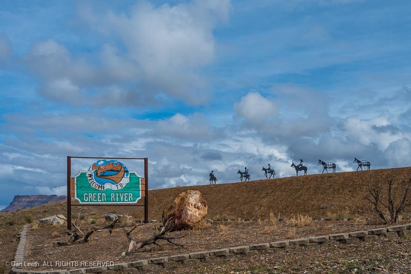
Our weekend trip with the Colorado Mountain Club to Green River, Utah, got off to a somewhat shaky start.

Our original plan was to spend four nights in Green River before heading down to Arizona to drive our Subaru Outback Wilderness down El Camino del Diablo, the Devil’s Highway. This is a high clearance, 4×4 road along the Mexican border between Ajo and Yuma.
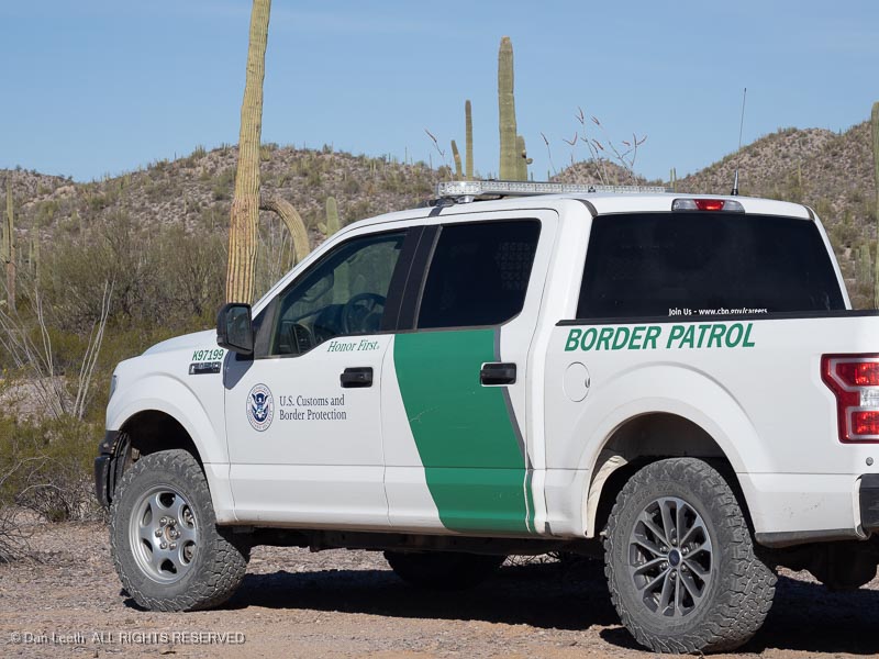
The road is now used extensively by the Border Patrol and looks to be in pretty good shape. Just in case we ran into trouble, we would be traveling with friends who own a Toyota 4Runner with real, low-range four-wheel-drive.
Unfortunately, our buddy was experiencing serious hip issues (getting old sucks) and couldn’t make the October departure.
We rescheduled the Arizona portion of the trip for next March but continued with the Green River part of the trip. I figured we’d have a chance to test the Subie getting to some of the trailheads along the San Rafael Swell.
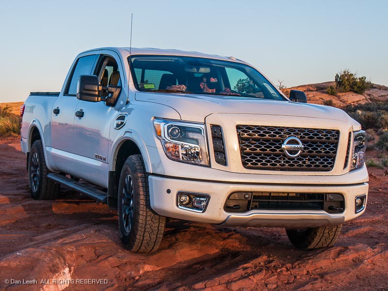
That plan came to an impactful end when the Subaru was rear-ended by a 16-year-old in a Dodge Ram pickup truck a few hours before we were scheduled to depart.
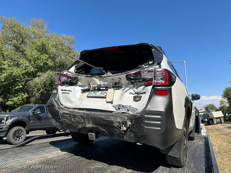
Instead of driving the Subaru on the backroads,
we’d be taking the truck.
Our Arizona trip was to be all tent camping, but tent camping in Green River State Park can be a wet experience when they turn on the sprinklers.
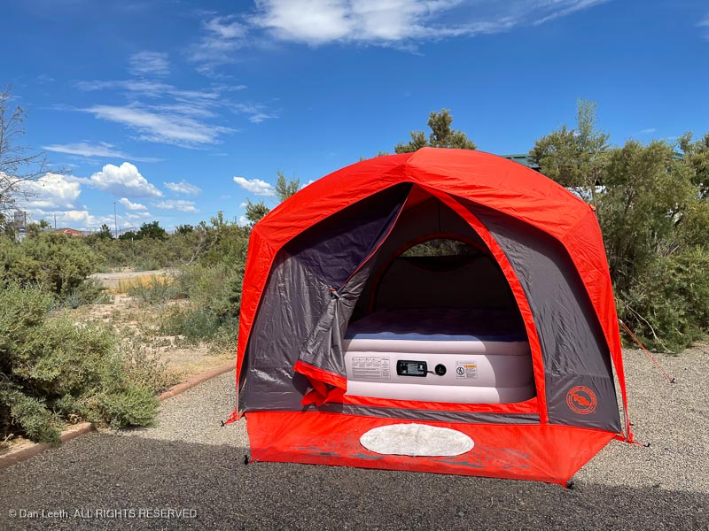
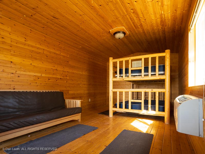
Rather than pitch our tent, we opted to book four nights in the Labyrinth Cabin. It offers queen-size bunks, a refrigerator and microwave. The restrooms/showers stand a short walk away.
On Friday, we joined the group for the eight-mile, Little Wildhorse and Bell Canyons loop.
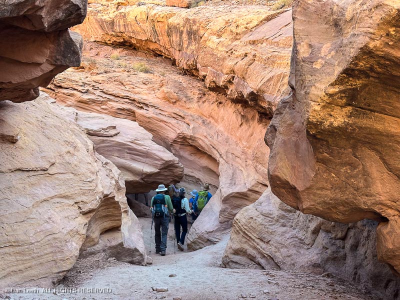
We first hiked these canyons by ourselves last April.

Back then, we found it to be a relatively easy hike through an inspiring pair of slot canyons.

Conditions in these canyons can change with every new flash flood, and this year, the canyon threw a few obstacles at us we didn’t remember from before.
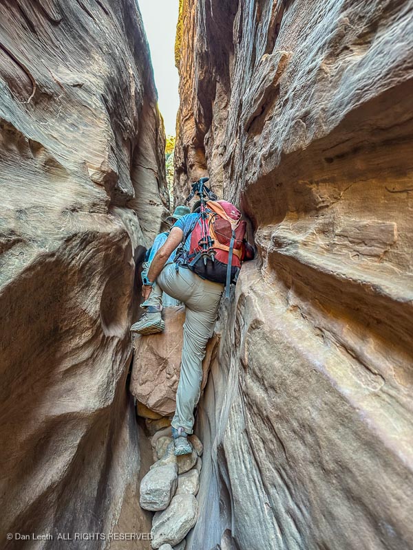
It didn’t always look pretty, but Dianne did splendidly with her new, after-market knee.
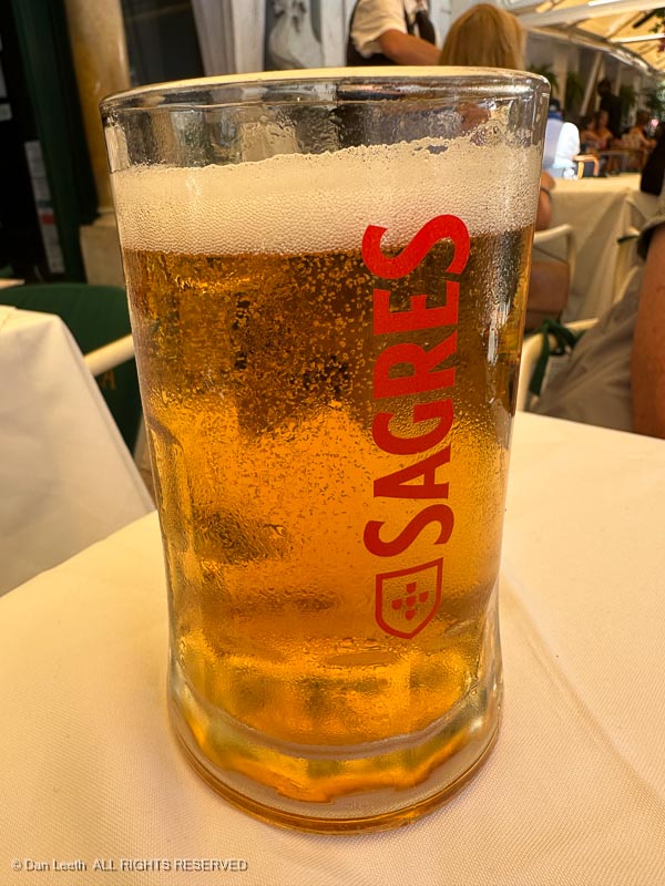
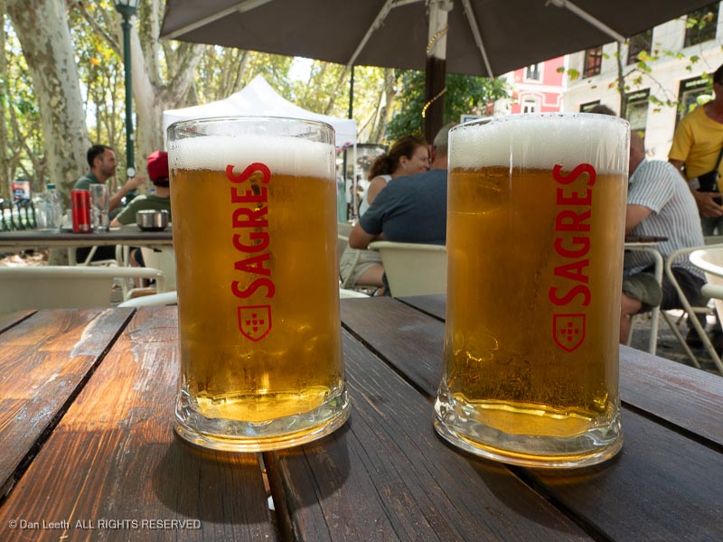
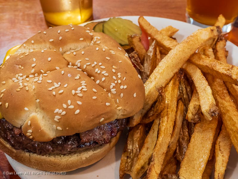
Our group made it through just fine. We celebrated our successful trip that evening with burgers and brews at Ray’s Tavern.
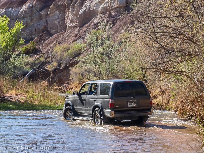
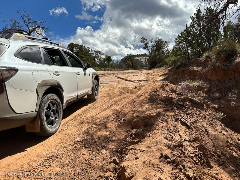
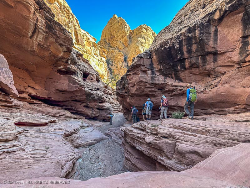
On Sunday, Dianne decided to follow the doctor’s orders to not overdo it and remained in camp. I joined a group hiking Straight Wash to the Eardley Pools. The road to the trailhead was a typical, high clearance, 4×4 backcountry trail. I kept evaluating whether the Subaru would have had issues on this road.
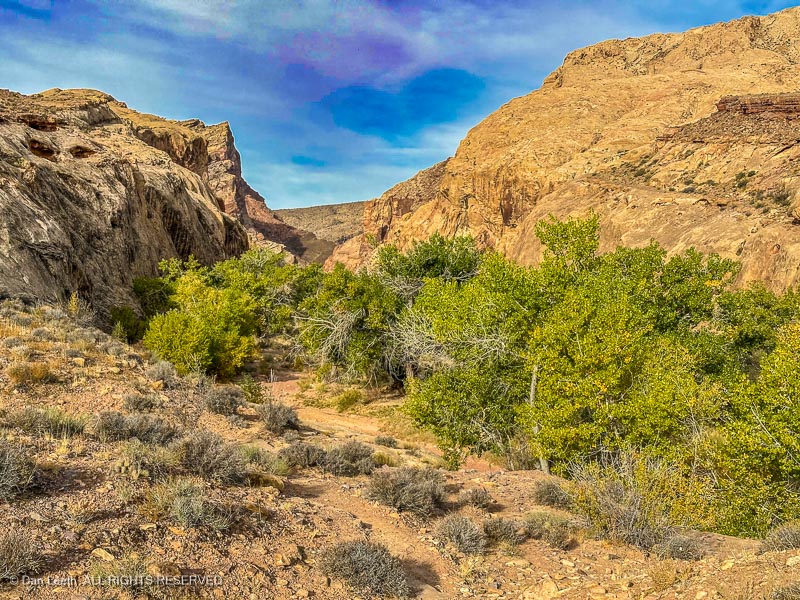
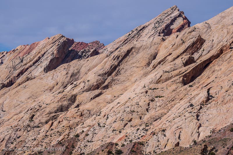
Unlike yesterday’s slot canyons, Straight Wash offers more open terrain bounded by sandstone cliffs.

The hike was around five miles out and back over river rock, around brush and through sand.
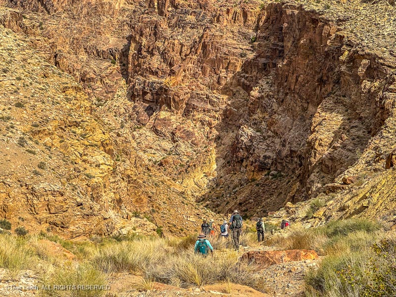
Our turnaround point was a huge, cliff-enclosed plunge pool at the base of a redrock pouroff.

On the way back, we passed a group of high school students from Sandy, Utah. They arrived in a school bus, which we saw parked at the trailhead.
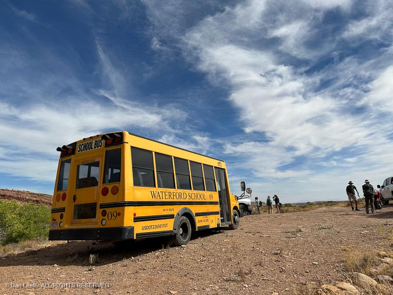
If that big yellow thing could make it in, our Subaru would have had no problem.