Off to Utah

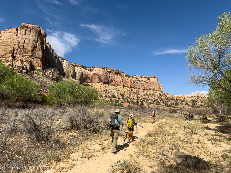
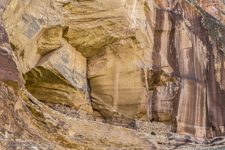
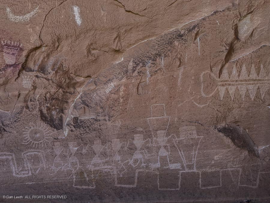
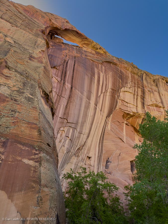
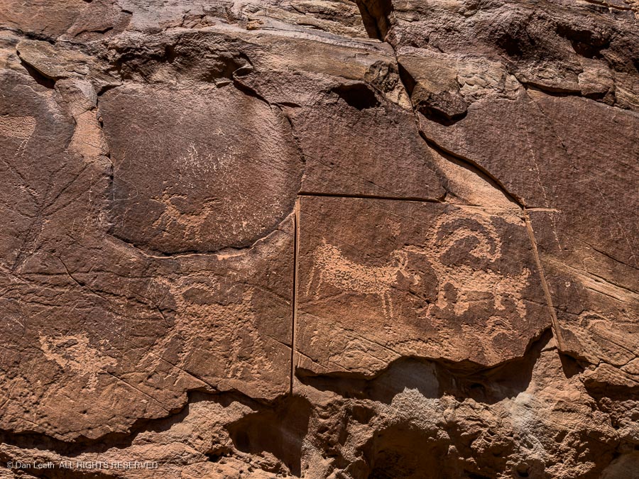
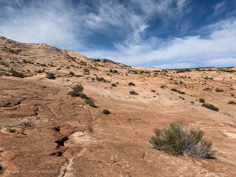
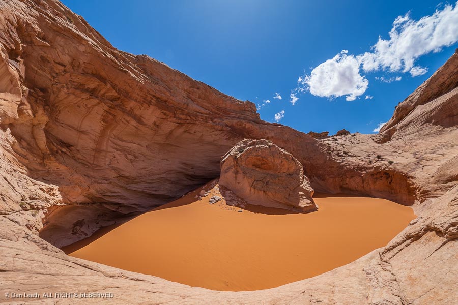
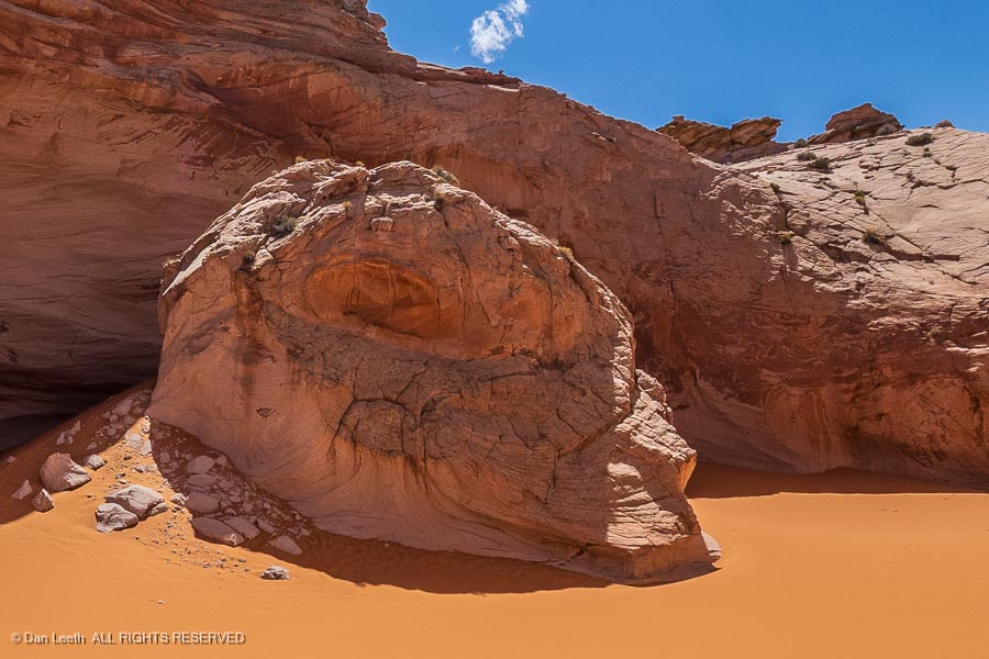
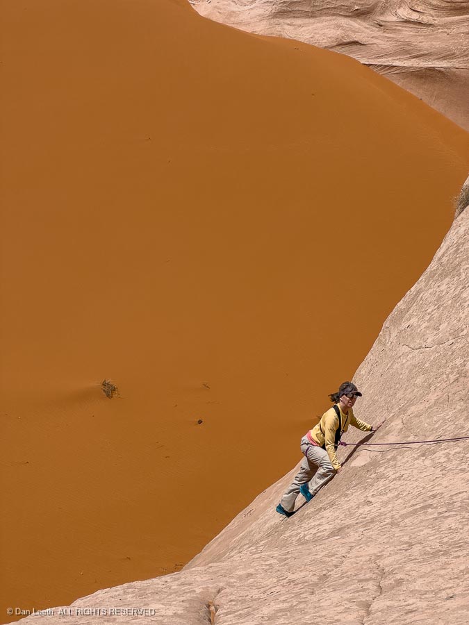
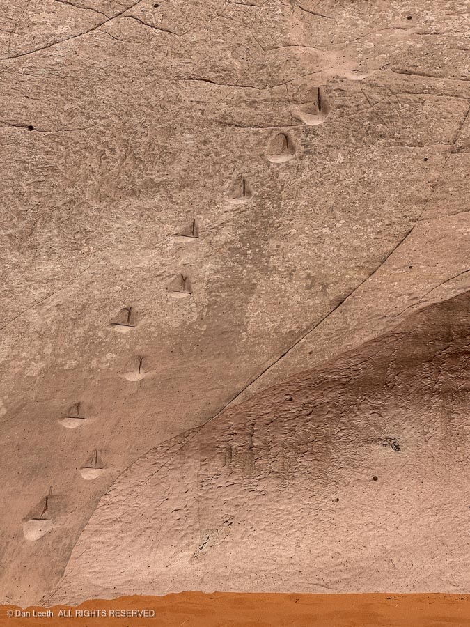
We’re off on a Colorado Mountain Club (CMC) trip to the slickrock country around Escalante, Utah.

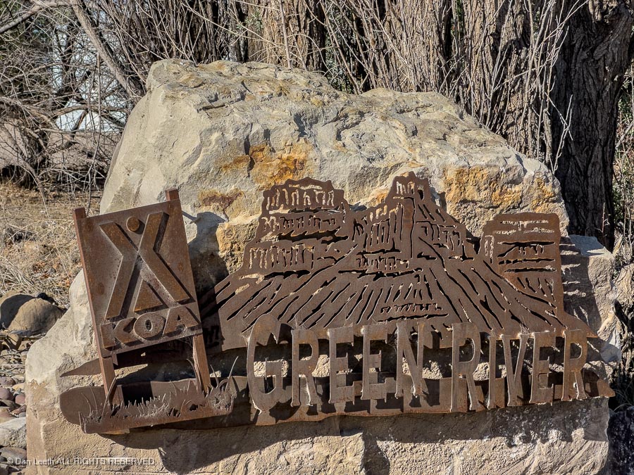
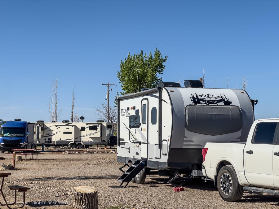
The trip began with a three-night stay at the James M. Robb Colorado River State Park in Fruita where we dewinterized the trailer and did a few necessary repairs. From there, we headed 90 miles west to Green River, Utah, where we spent the night at our favorite site in Green River State Park.

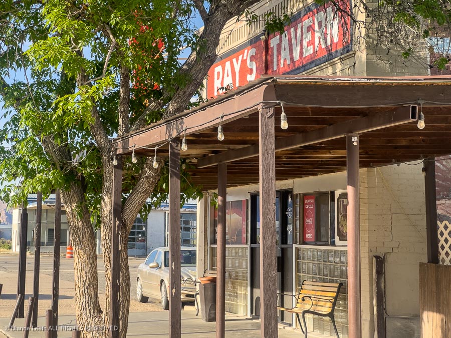
Of course, we headed to Ray’s for burgers and brews that evening.

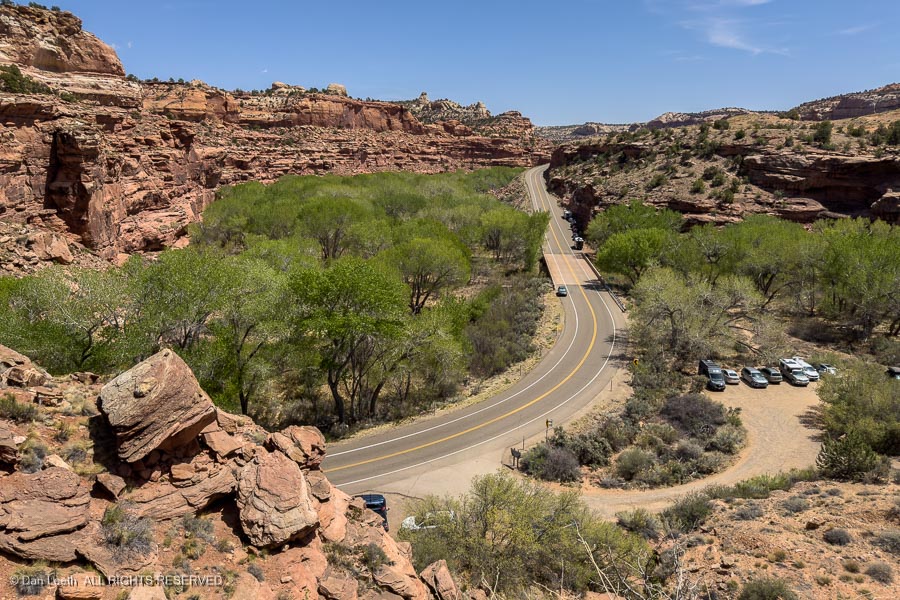
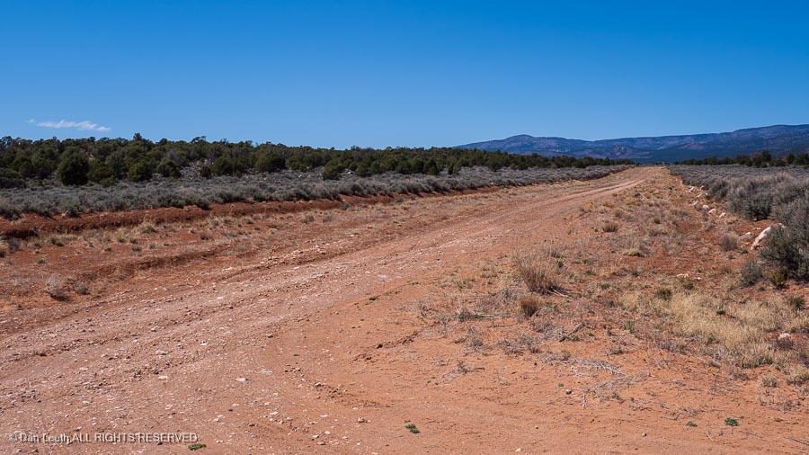
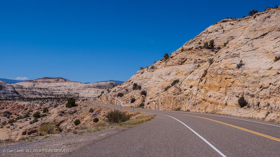
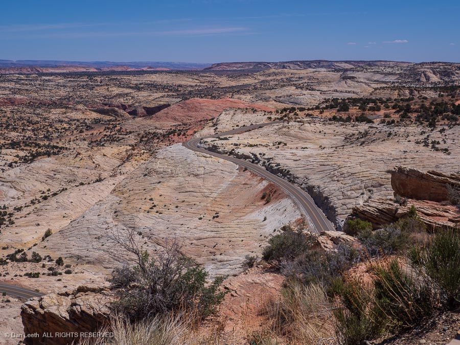
From there, it was off to Escalante on a route that took us over the mountains…

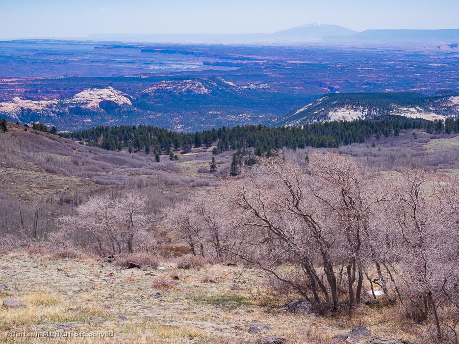
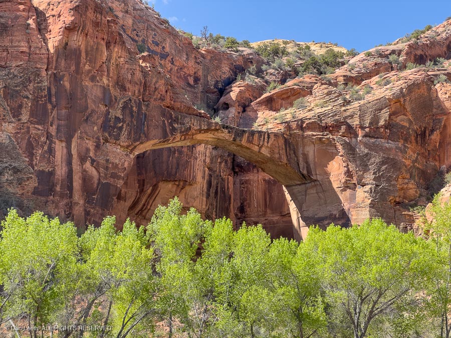
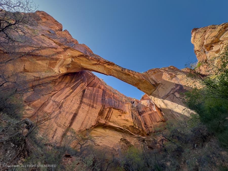
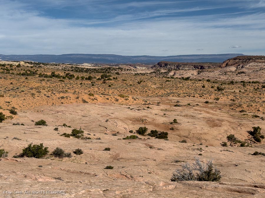
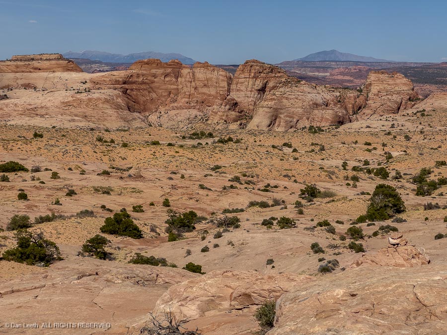
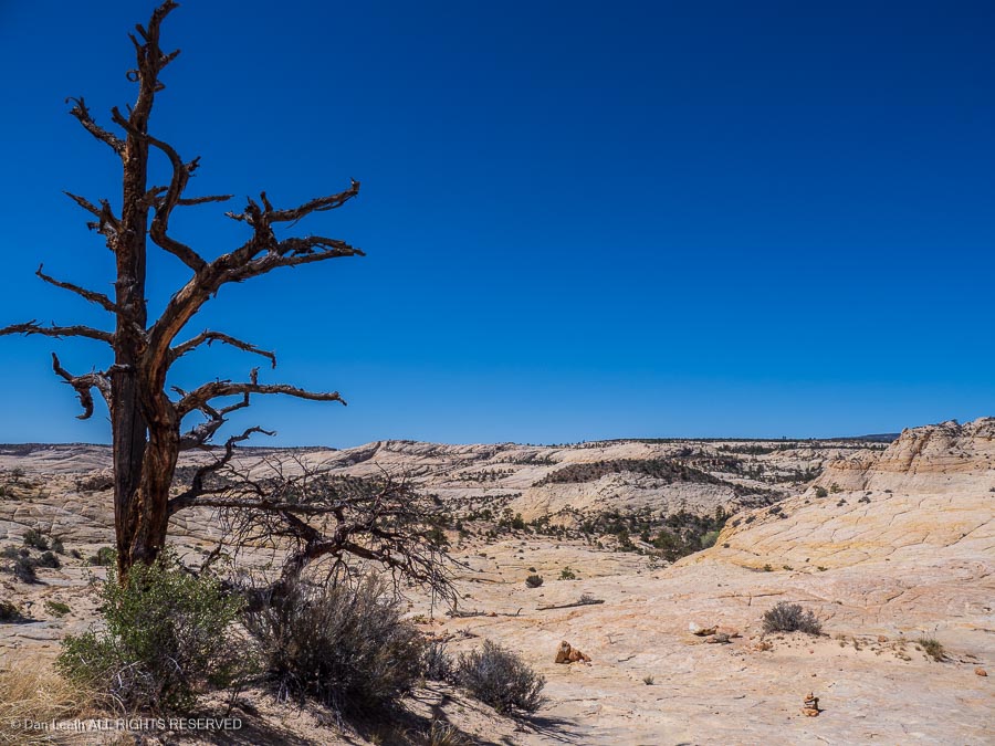
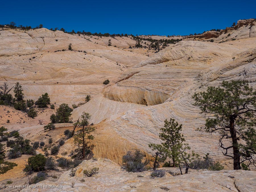
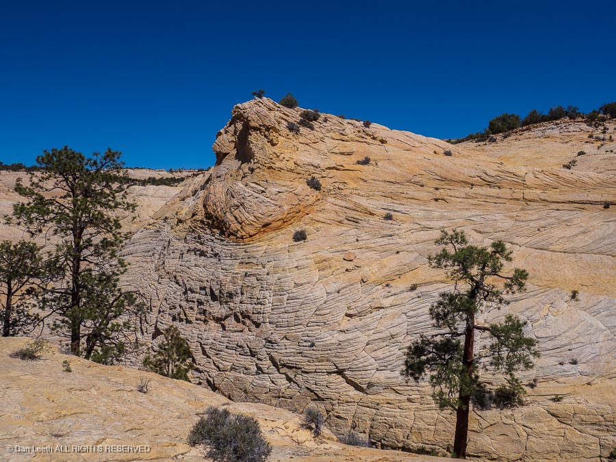
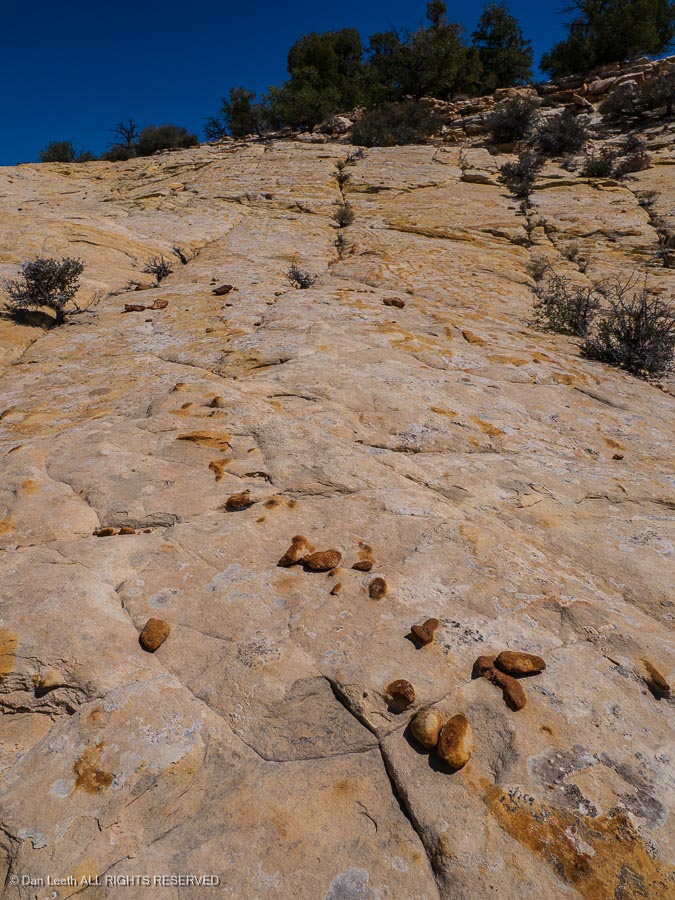
…and into canyon country.

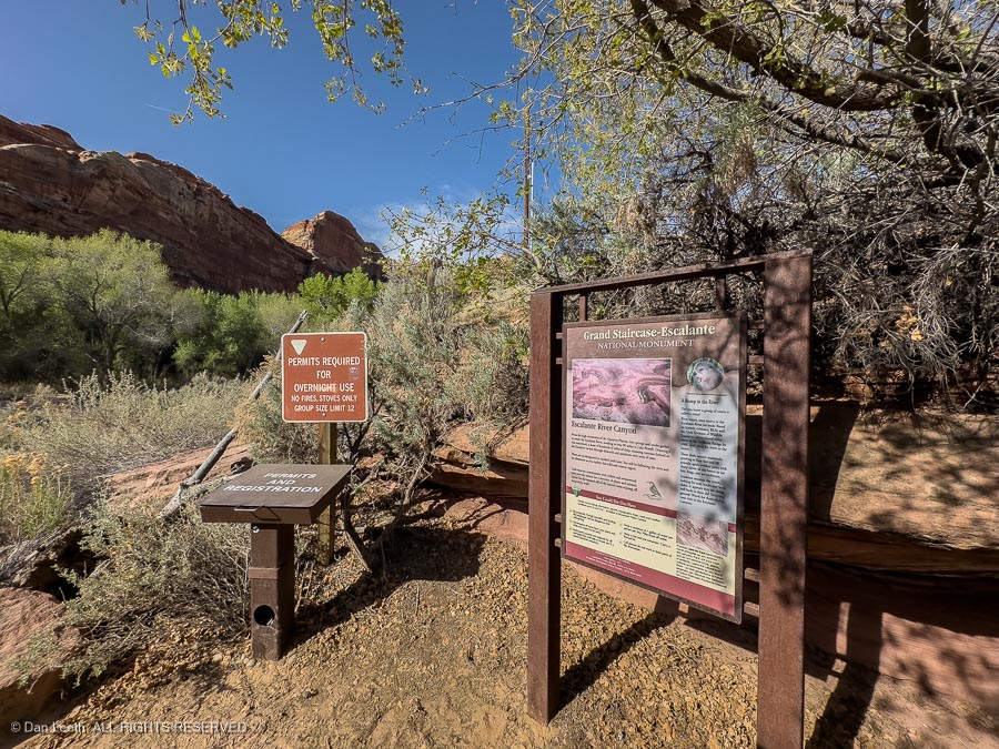
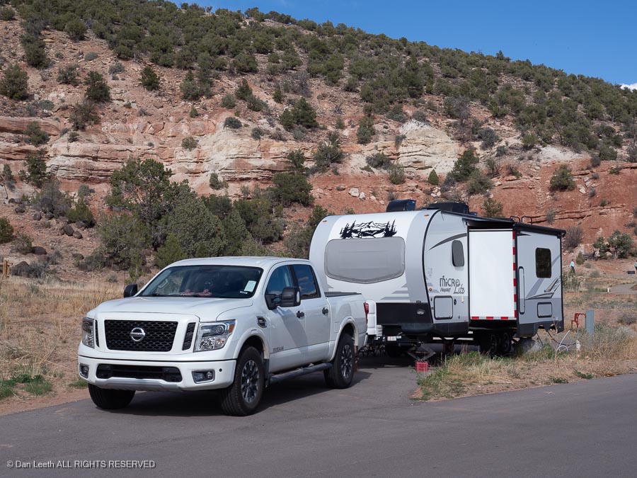
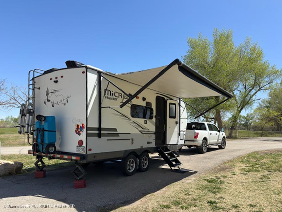
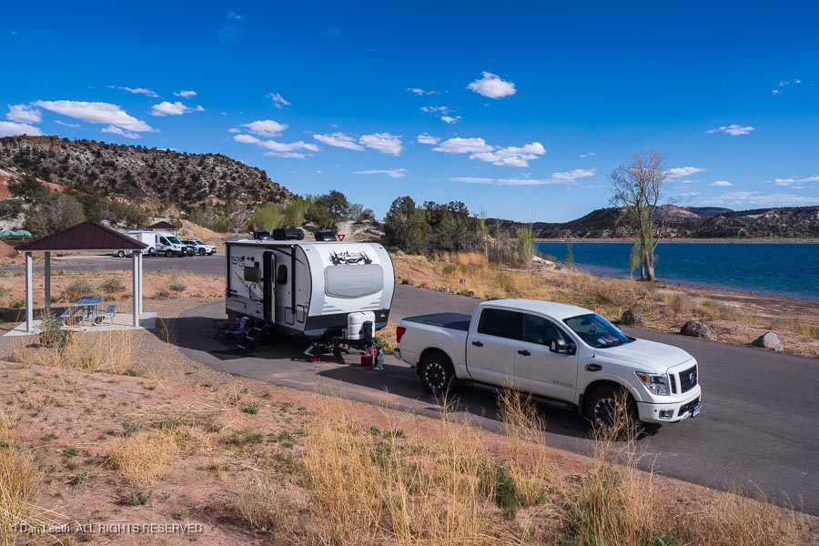
Our campsite for five nights is in the new, full-hookup loop at Escalante Petrified Forest State Park. We have a nice pull-through site across from Wide Hollow Reservoir.

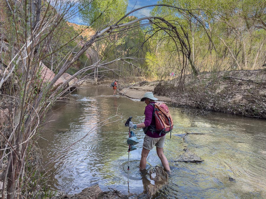
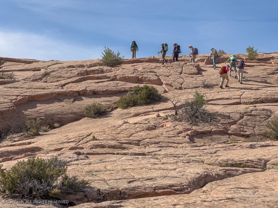
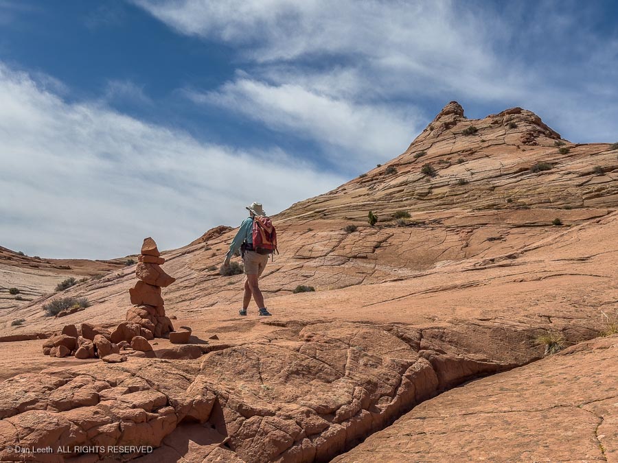
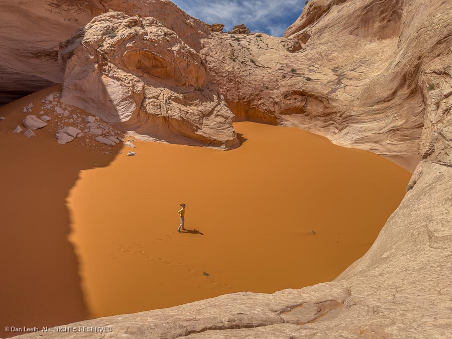
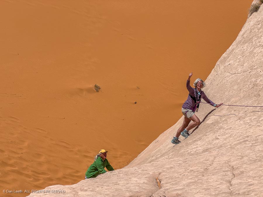
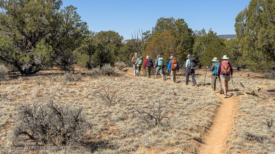
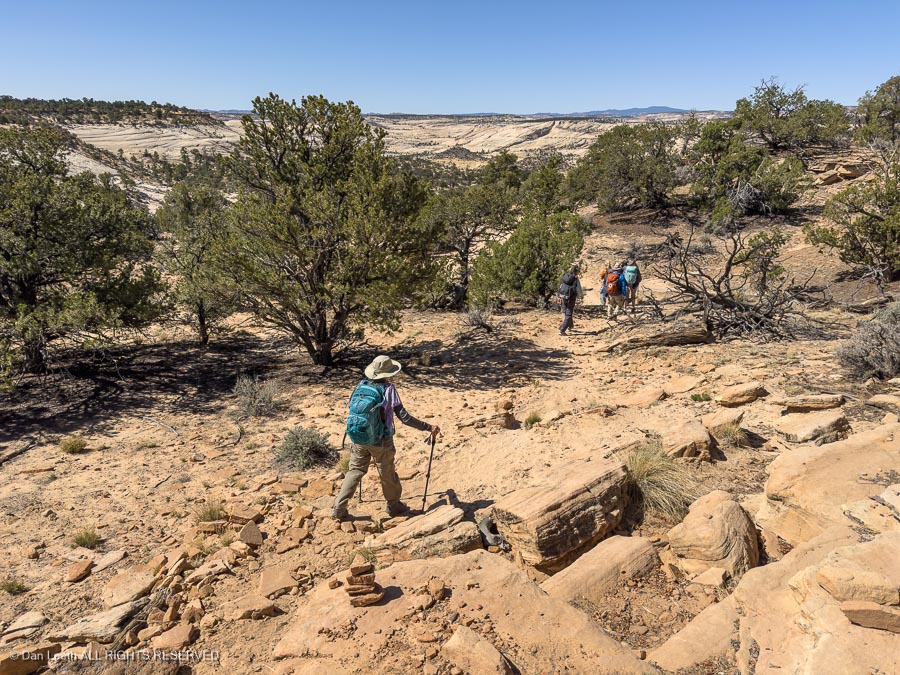
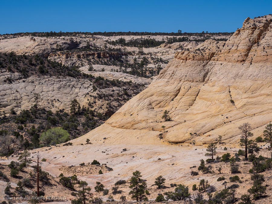
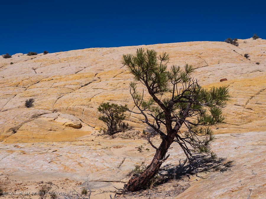
As it was in Arizona, the winds blew. Instead of enduring the night bunked out in a tent, here we remained snug and warm inside our trailer. Tomorrow we will head out for the first of three days of hiking with the CMC through Utah’s slickrock country.

Up the River

Our first day’s hike was up the Escalante River to the creatively named Escalante Natural Bridge and Escalante Arch. Our hike began where Utah Highway 12 crosses the river north of town.

A sign at the trailhead issued an ominous warning.

I guess that’s fair. Choose the wrong path and a three-mile walk to the arch could be a 70-mile endurance run to Powell Reservoir. Cheating death, we took the route to the right.

The trail to the natural bridge and arch required wading across the Escalante River several times. The first crossing came just a couple hundred yards from the trailhead.

Back in the old days, we wore army-surplus Vietnam-era jungle boots (“Cong Stompers”) when hiking down canyon rivers. They had lug soles and screen-covered openings in the bottom to let water out.

(Still available for $151.96 from McRae Footwear)

Here, we had to resort to old, ratty pairs of sand-collecting tennie-runners.

After a few more river crossings…

…we reached the natural bridge. Blending into the cliffs behind, it was a bit hard to spot from a distance…

…but was spectacular when viewed up close.

Farther up the canyon, we spotted some ancient Anasazi granaries high on a cliff…

…with Indian rock art gracing the cliffs below.

A short distance beyond stood Escalante Arch, our turnaround point.

Returning to the trailhead, we took a short hike up the nearby cliffs to more ancient Indian rock art. At the first site, someone had apparently tried to cut out and remove a section of the artwork.

Fortunately, the 100 hands pictograph panel (no, I didn’t count them) located a short distance away remained intact…

…as did the petroglyph panel that stood beyond.

Then it was back to the trailhead parking lot for the drive back to camp.

Cosmic Ashtray

The next day would offer a return trip to the Cosmic Ashtray, a feature we had first visited two years ago. On that trip, we only saw it from the cliffs looking down. This time, we would view it from the bottom up.

Getting to the ashtray requires driving down a few miles of semi-graded road to a trailhead.

From there, it’s four miles of hiking through deep sand and up and down sandstone ridges (and more sandstone ridges).

The trail was marked with cairns, making it semi-easy to follow…

…and the views across miles of emptiness were stunning.

It took three hours for us to cover four miles…

…but we finally arrived at the lip of the Cosmic Ashtray — a huge, circular depression in the sandstone that has become partially filled with sand.

The pit, we discovered, is guarded by this cosmic figure.

Since we are the Colorado Mountain Club, our leader brought along 50 meters of climbing rope to belay us into the depths of the tray. Anne, our Western Slope group leader, was the first to descend…

…down the moki steps some past visitor cut into the rock. While they may look big, they’re not.

Looking down on our leader at the bottom, one can appreciate the size of this ashtray.

One by one, most of us made it to the bottom, including my lovely wife.

From the bottom, one realizes that the floor of the crater is actually just one big sand dune and with the wind blowing, it was a gritty experience.

All too soon, it was time to head back, reversing our route over hill and sand. Remarkably, the trail to and from the ashtray proved to be uphill both ways. Although the route proved to be a bit arduous, one member of the group observed that the hike to and from the ashtray was still more fun than a colonoscopy.

Back in town, Dianne and I went straight to Escalante Outfitters for pizza and beer.

Definitely better than a colonoscopy.

Boulder Mail Trail

Our last CMC hike in Grand Staircase-Escalanate National Monument was down the upper end of the Boulder Mail Trail.

The trailhead lies just around the corner from the Boulder Airport and UFO Landing Site.

Fortunately, no 747s were landing on the runway when we passed by.

Our hike began with a bit over a mile of nice flat terrain…

…before dipping into the canyons below.

Dianne’s body was hurting, so while the rest of the group descended onward…

…we decided we would stay up topside and spend the morning taking photographs of the Zion-like countryside.

Then it was time to head back to our trailer for a brew and dinner.

Dinner in Hell

While most of the CMC group departed on Sunday, we still had one more day to spend in the Escalante area. After a lazy morning in camp, we chose to head back up the hill and spend a little time in Boulder. Our first stop was the Anasazi State Park Museum.

Outside the main building lay the excavated ruins of an Anasazi pueblo…

…and the reconstructed version of what it might have once looked like.

From there we celebrated Dianne’s upcoming birthday with dinner at the famous Hell’s Backbone Grill.

I ordered a bison steak…

…and Dianne had Goose Egg Carbonara.

We enjoyed all with an exquisite bottle of wine from the Douro Valley of Portugal.

The meal was a bit pricey, but the food was delicious, the service impeccable and we don’t have any kids to leave our money to anyway.

Almost Home

We had two choices for the trip home. We could go all the way back to Fruita, a journey of about 360 miles using the U.S. 89 and I-70 route, or we could stop for the night midway and break up the drive into two parts. We chose the latter, reserving a night’s stay at the KOA in Green River, Utah, 90 miles from home.

It’s a nice enough RV park, but it is an RV park. We had an acceptable site with full hookups and a lot of empty space around.

A nice thing about the Green River KOA is that it sits next to a restaurant named for a loathsome, difficult to kill, invasive riverside weed. In spite of its disgusting name, we enjoyed a breakfast there that started with hot chocolate, coffee and a giant cinnamon roll.

Eggs and omelette followed.