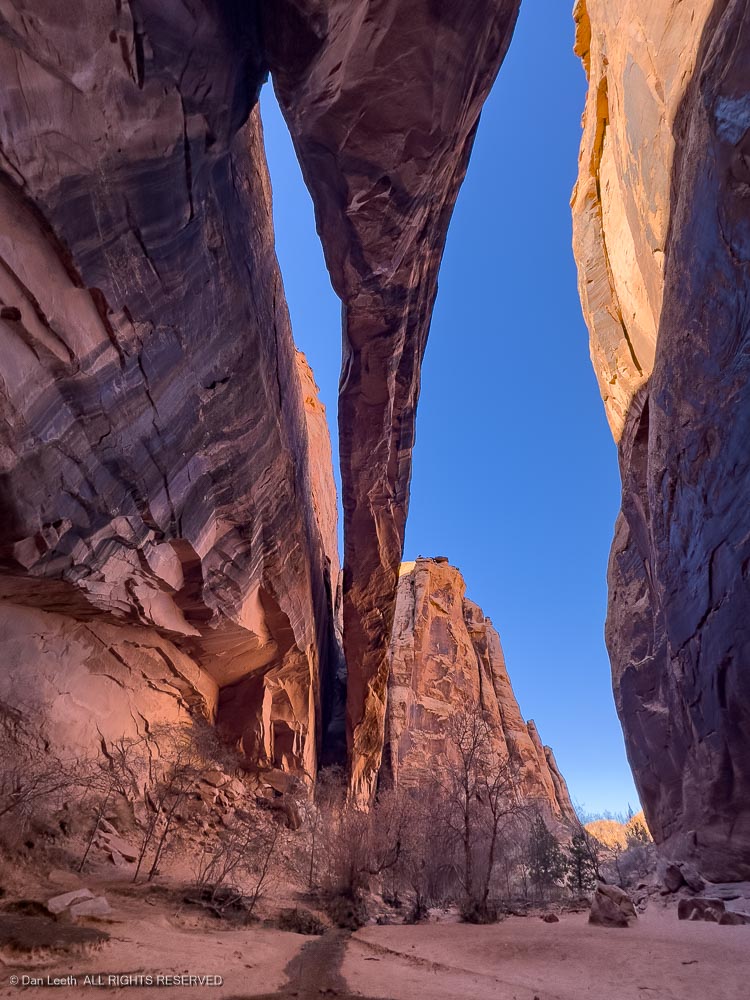
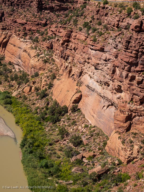
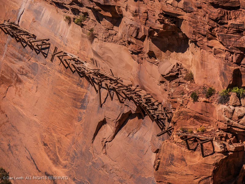
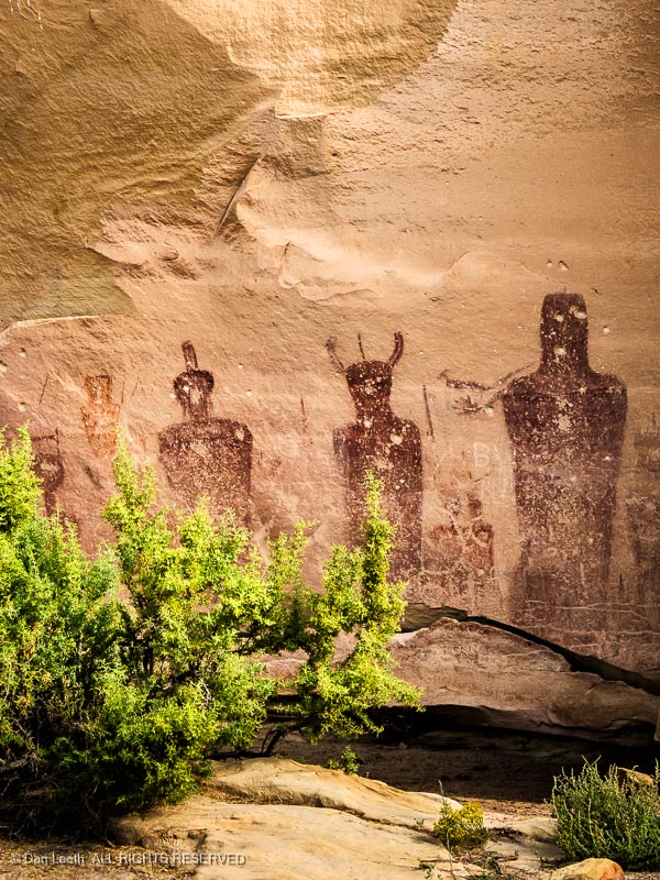
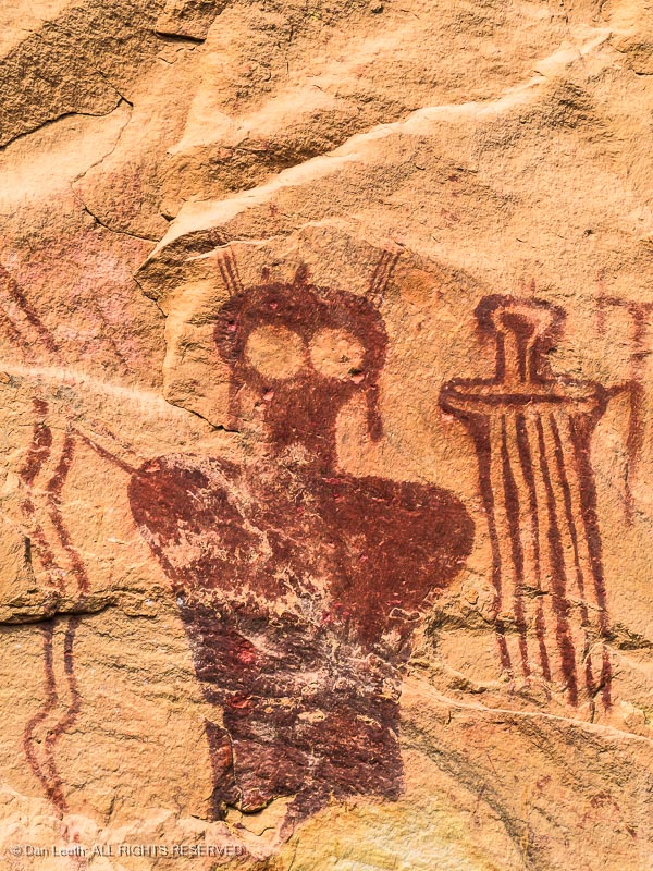
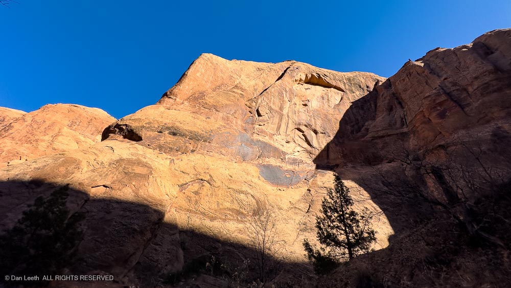
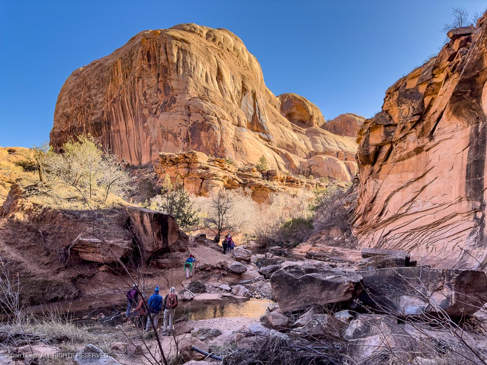
Our first hike of the year in January was a six-mile romp up Grandstaff Canyon (formerly Negro Bill Canyon) to Morning Glory natural bridge (formerly Morning Glory arch).
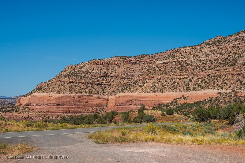
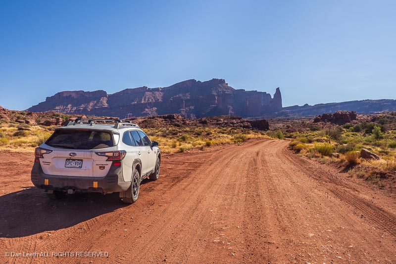
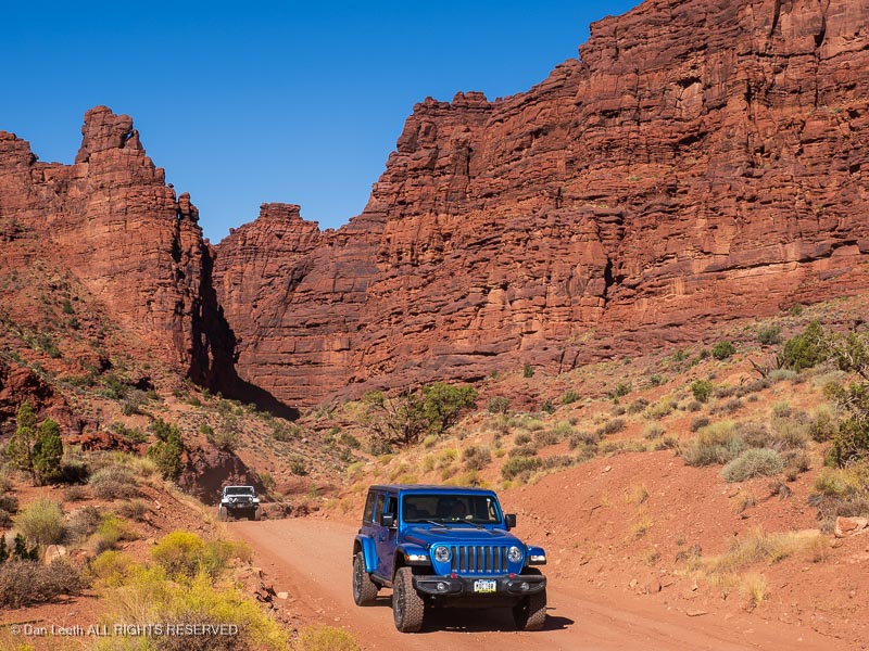
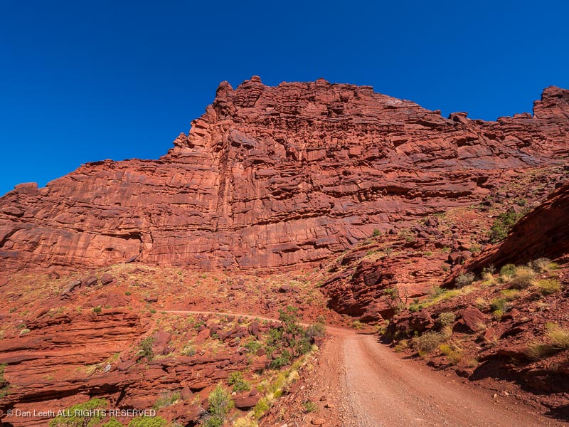
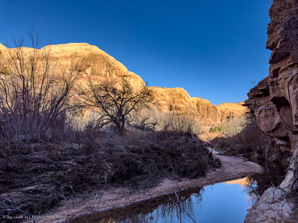
The canyon lies north of Moab. I first hiked up her 50 years ago with my step-dog and her owner, but I don’t think we made it to the bridge. My notes said the area was “beautiful!” It still is.
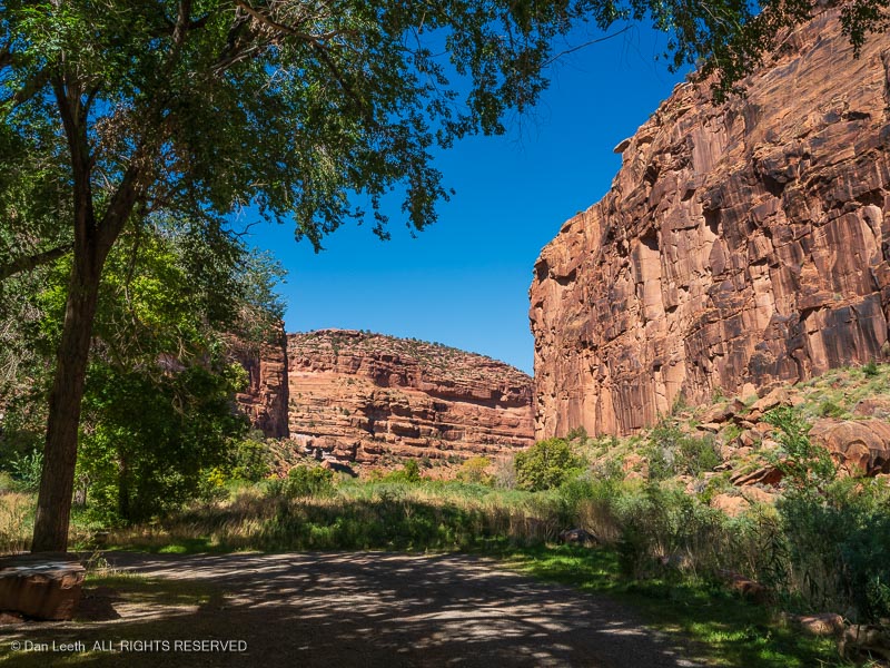
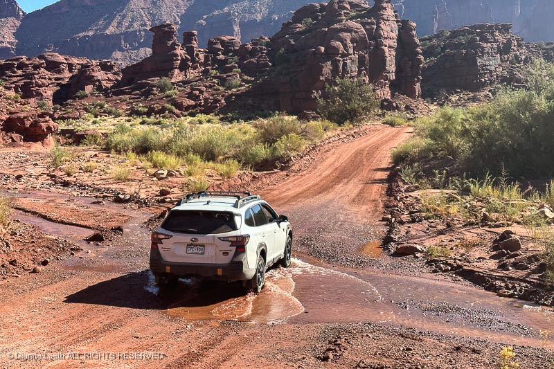
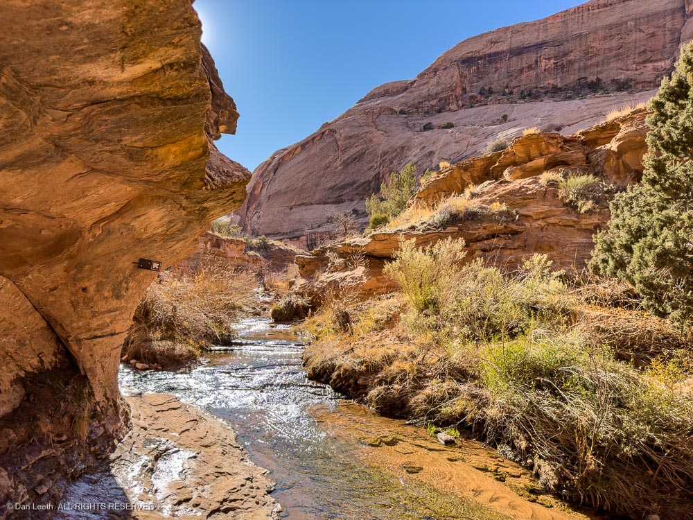
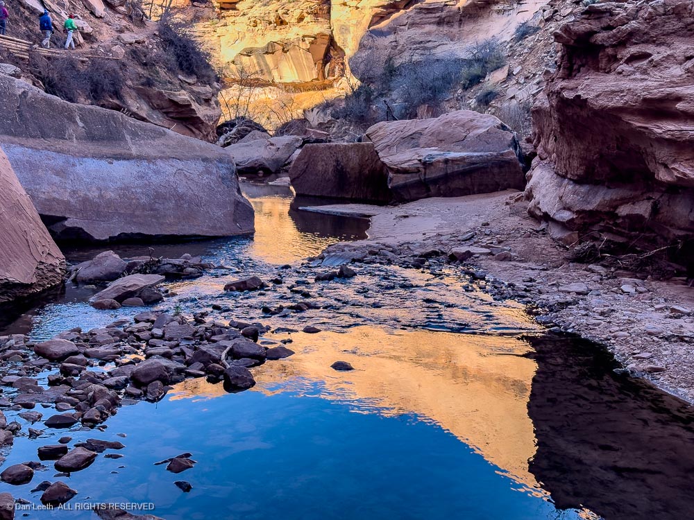
The trail up the canyon does a dozen stream crossings, which weren’t too bad with the water running low in the winter. Most crossings had well positioned rocks in place for hopping across.
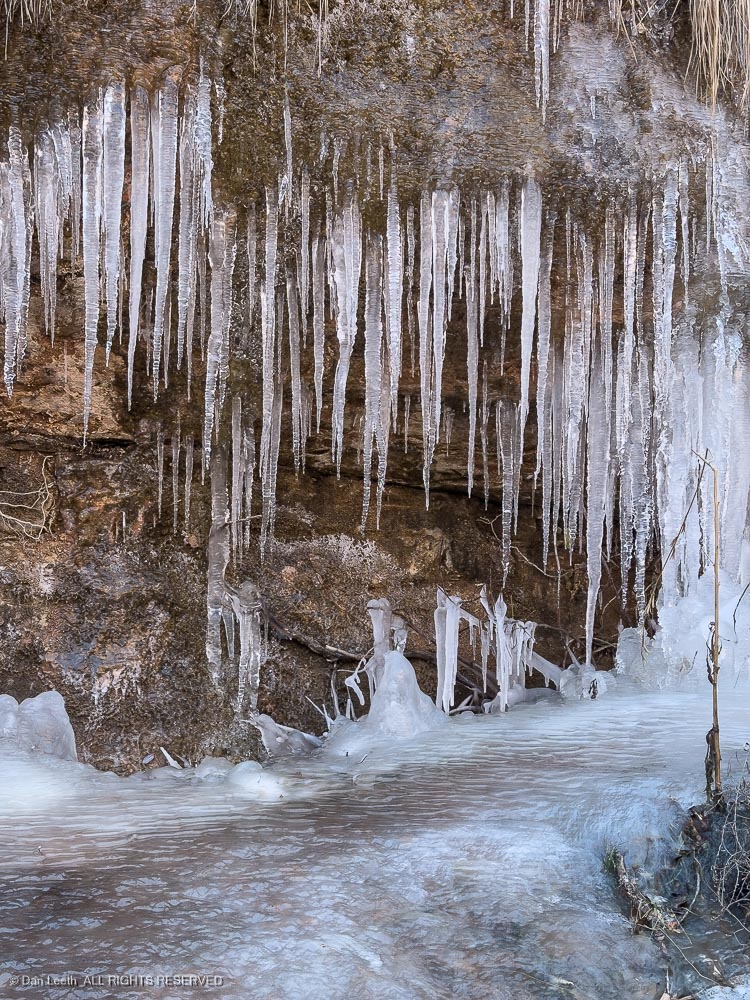
It was, however, a bit nippy out.
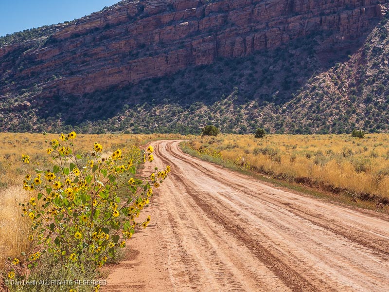
Other than being a bit cold, it was a beautiful day for a hike. The air was clean (no California fire smoke) and the sky an unblemished shade of blue.
The bridge (arch) stands at the end of the canyon. With a span of 243 feet, it stands as the sixth longest natural arch span in the United States.