Here are three options for your drive back to Fruita:
Option 1 – Hanksville and home
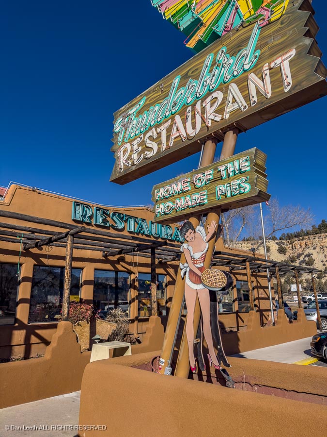
From Saint George, head back through Zion to U.S. Highway 89 at Mt. Carmel Junction. This is home of Thunderbird Lodge, a good stop for Ho-made pies (and/or for lunch).
Go north on U.S. 89 to the junction with Utah Highway 12, which you will take past Bryce and into Cannonville. An optional detour here is to turn south on Main Street and follow the paved Kodachrome Road (County Road 7000?) to Kodachrome Basin State Park.
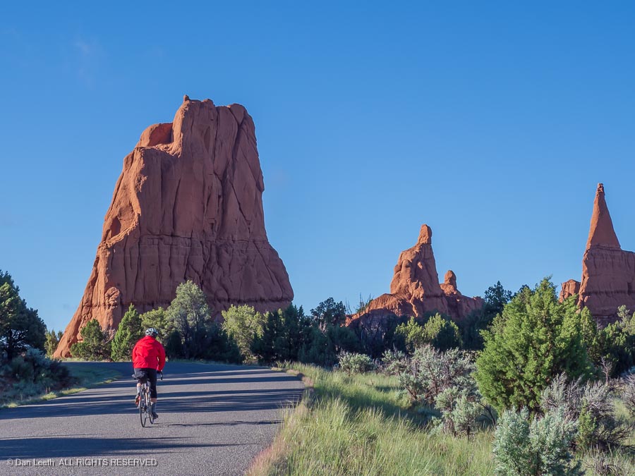
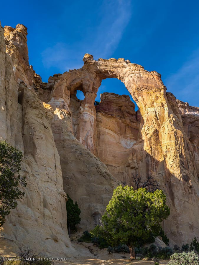
From there, you could continue south on the Cottonwood Canyon Road (graded gravel) to Grosvenor Arch.
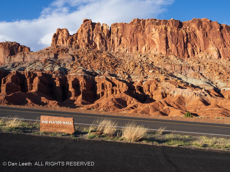
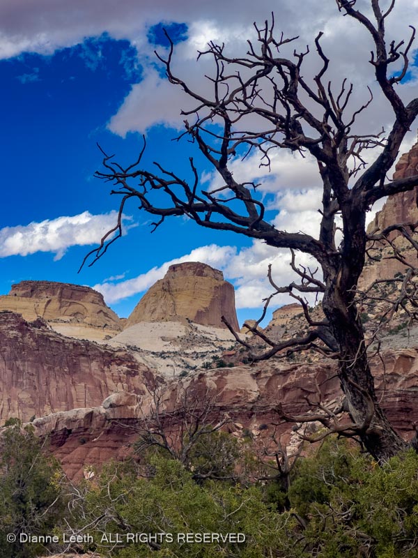
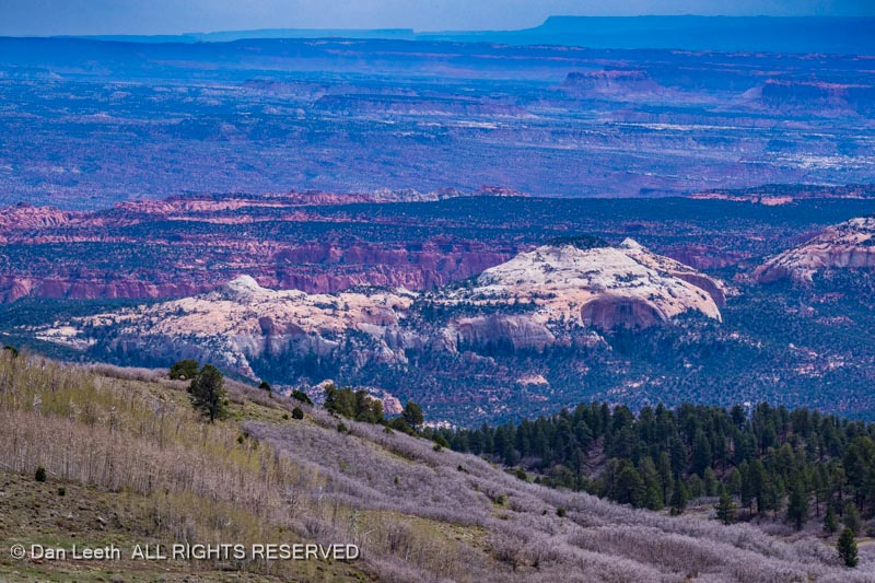
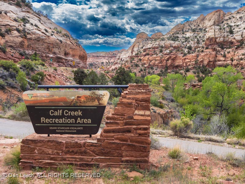
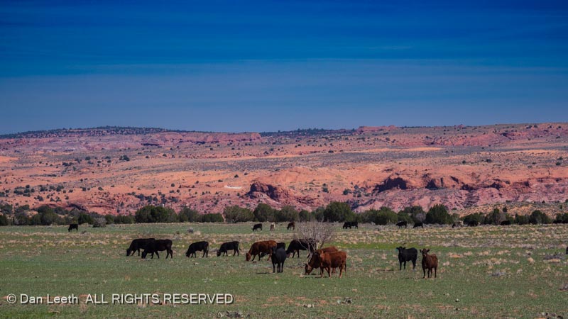
Turn around, head back to Utah 12 and continue through Escalante, Boulder and on to Torrey where you’ll turn east onto Utah Highway 24 and head into Capitol Reef National Park.
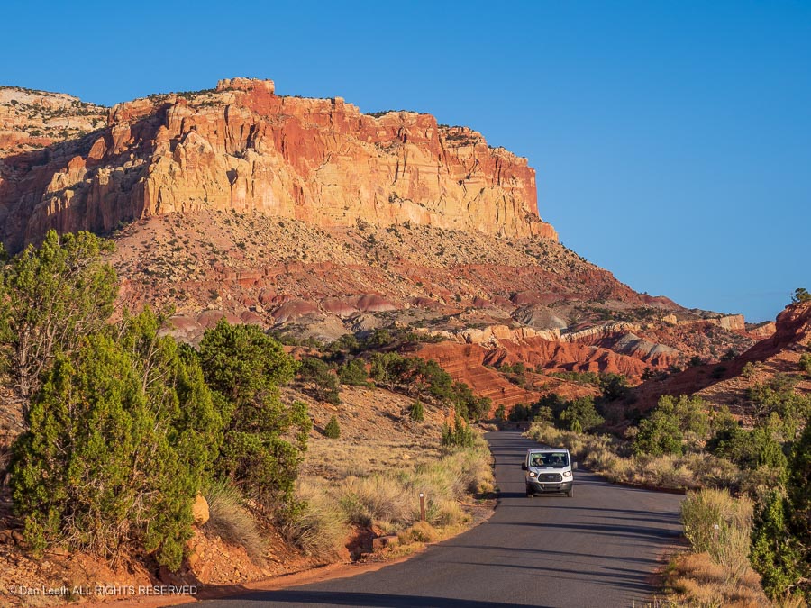
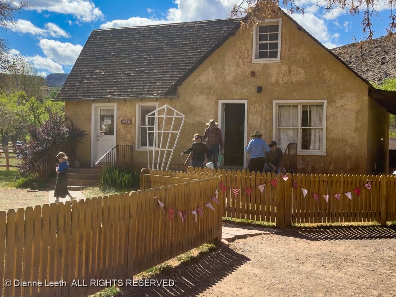
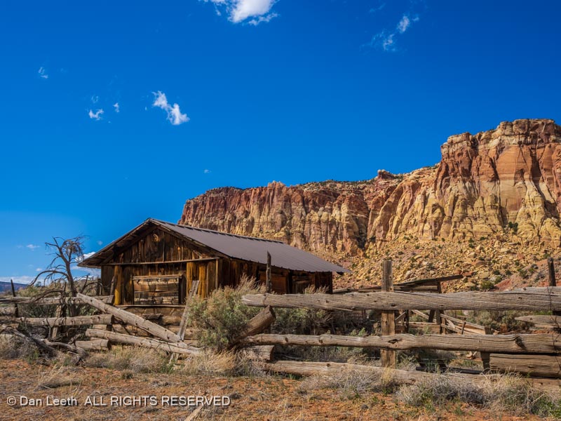
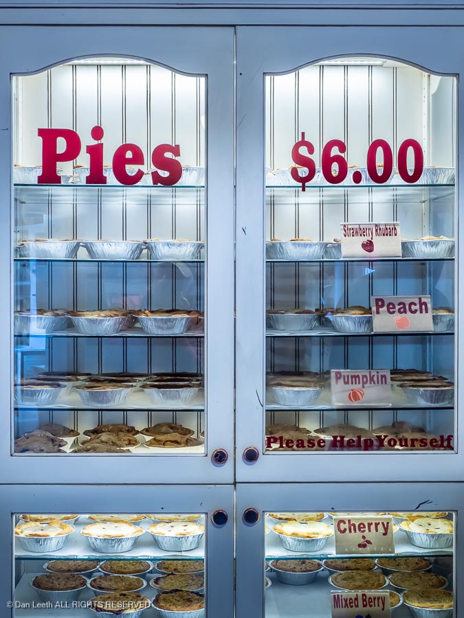
Another worthwhile detour is to take the paved Scenic Drive south through the park. If you haven’t had enough pie yet, a stop at the Gifford Ranch can be worthwhile, but the pies sell out early and they’re now $8 each.
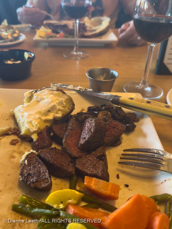
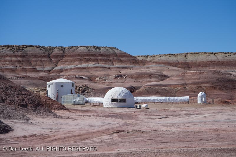
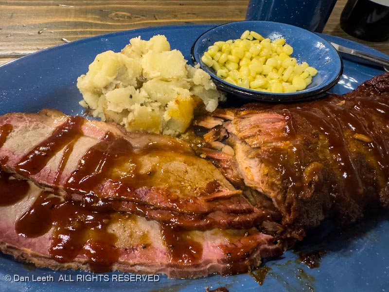
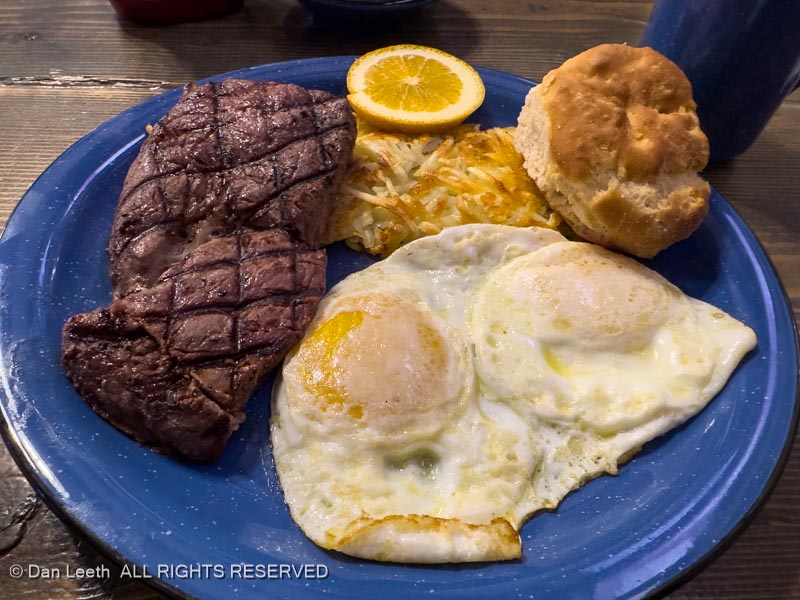
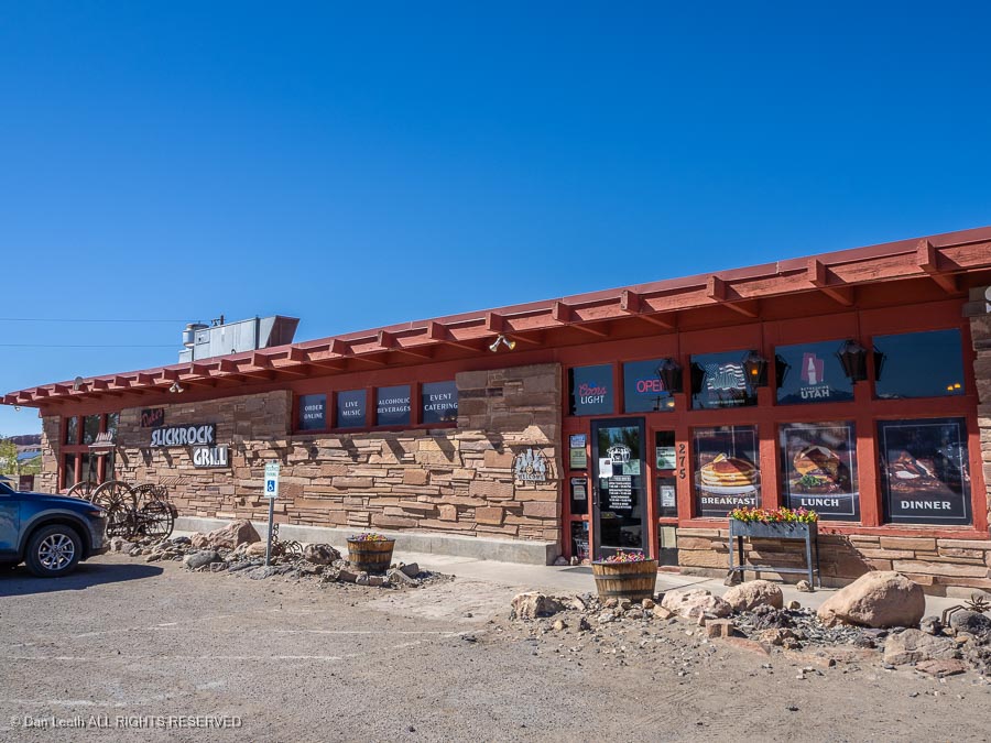
Continue on Utah 12 to Hanksville. Dukes Slickrock Grill serves good barbecue if you’re in need of food.
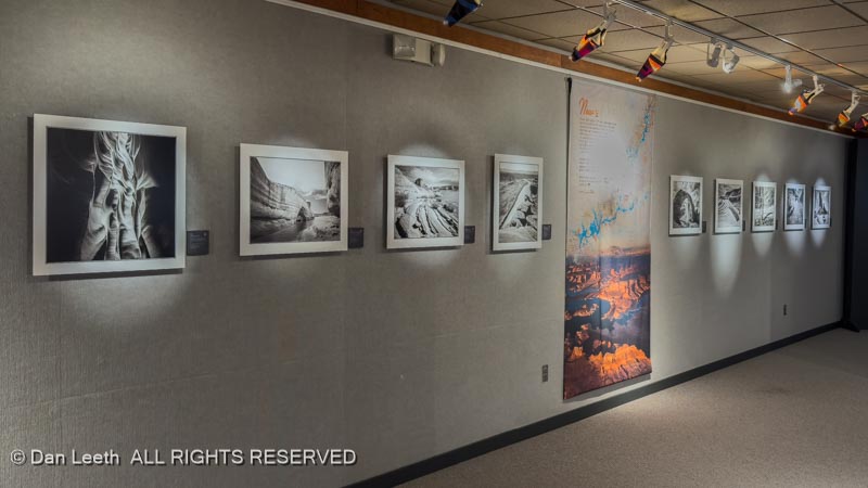
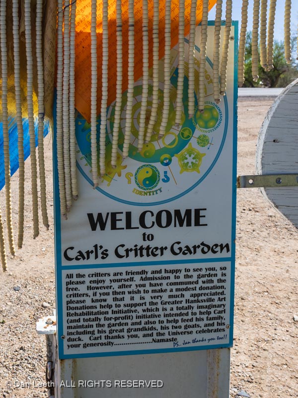
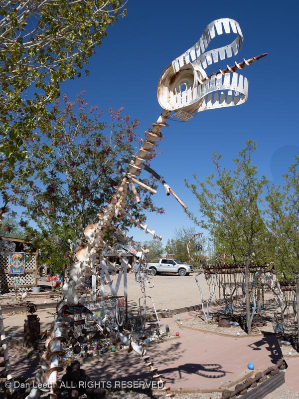
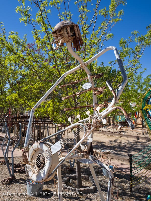
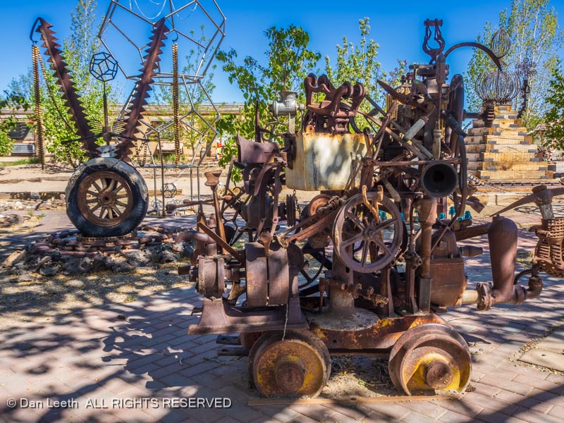
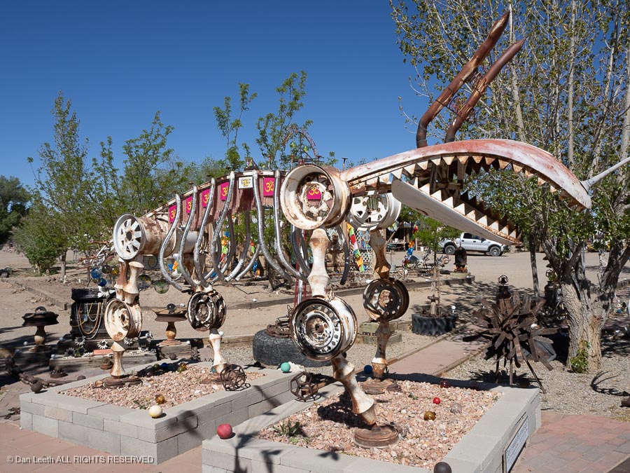
A walk through Carl’s Critter Garden is fun.
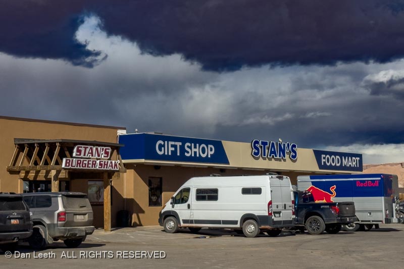
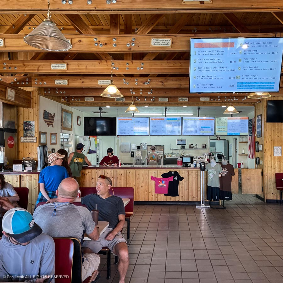
From the intersection in town, a short drive south leads to Stan’s Burger Shak and a convenient gas stop. Stan’s serves great shakes, which you have to eat with a spoon.
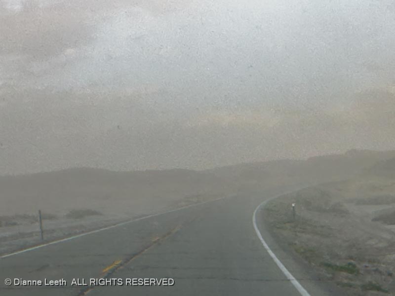
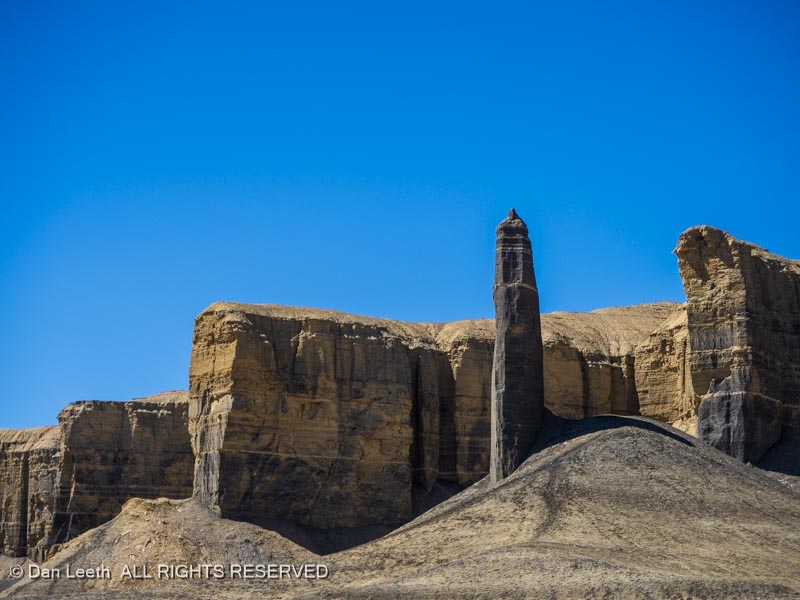
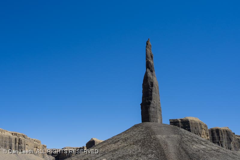
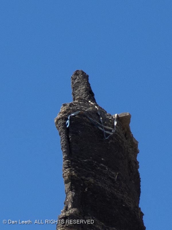
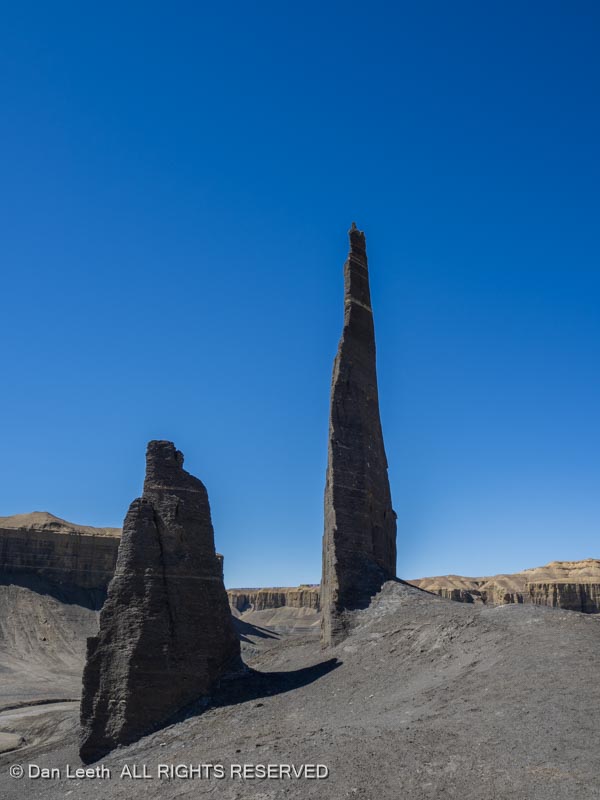
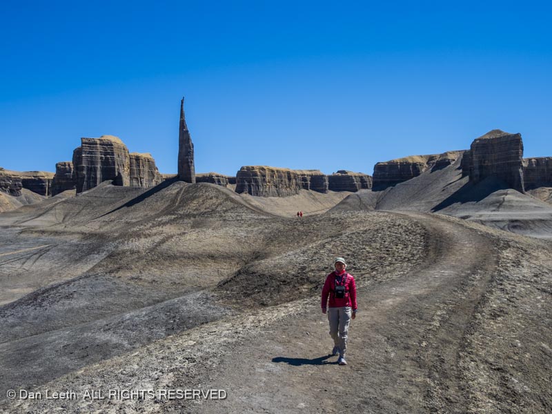
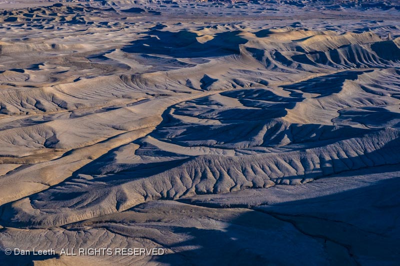
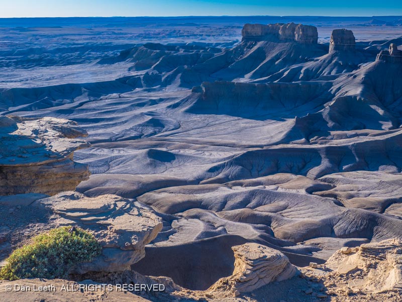
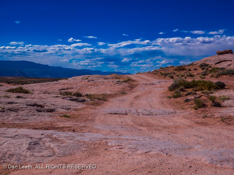
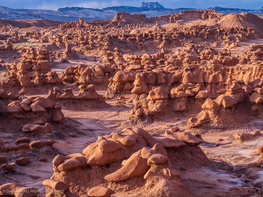
North from Hanksville is the turnoff to Goblin Valley State Park, another worthwhile sidetrip.
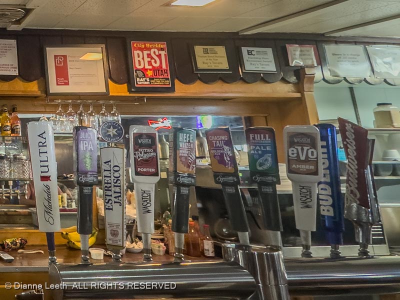
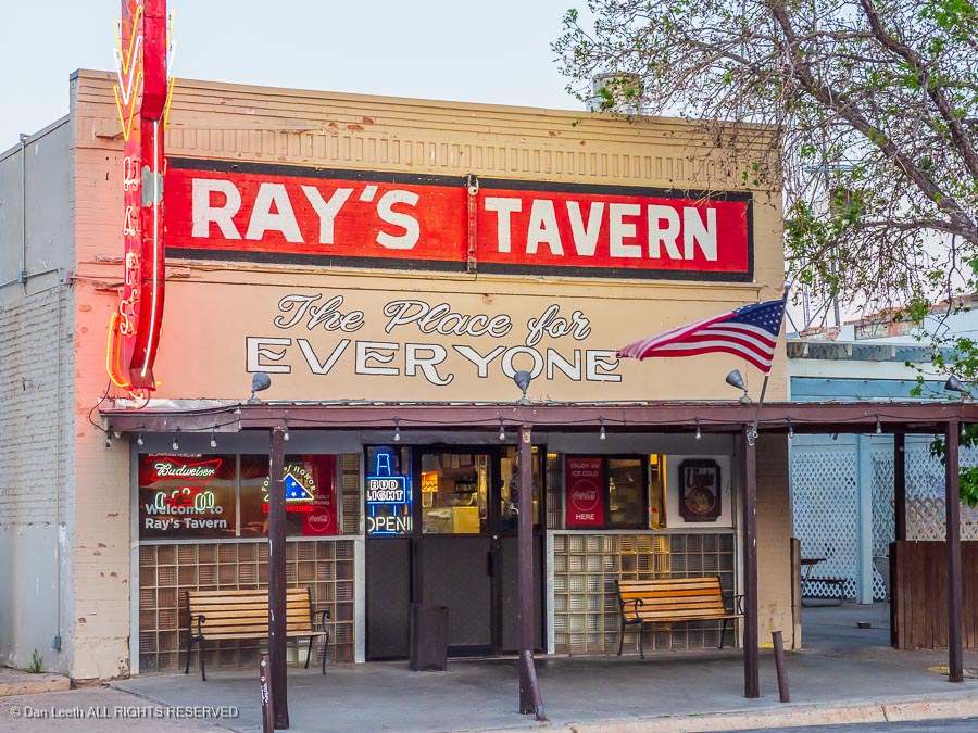
Back on Utah 24, head north to I-70 and head for home, with a dinner stop at Ray’s Tavern in Green River.
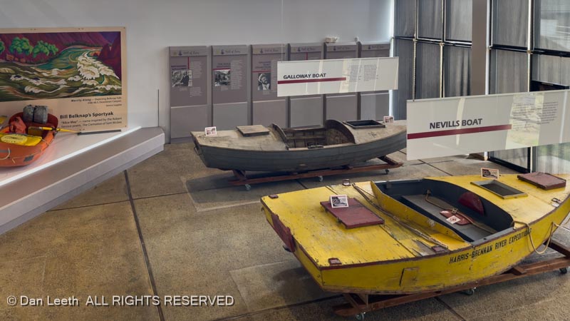
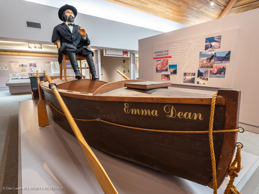
A stop at the John Wesley Powell River History Museum in Green River can be worthwhile if you have time.
Option 2a – A Strip Trip
From St. George, head north on I-15 and turn off on Utah Highway 9 toward Hurricane. Turn south on Utah 59 and continue through Colorado City (formerly Short Creek), a longtime polygamist community and former home of convicted child sex offender Warren Jeffs.
The road enters Arizona and becomes State Route 389). Follow that to Fredonia. Along the way, a stop at Pipe Springs National Monument can be worthwhile if you’d like to learn a bit about Mormon pioneer history.
Option 2b – A Strip Trip
From St. George, head back through Zion to Mt. Carmel Junction, have a pie and turn south on U.S. 89 to Kanab. I’ve heard the Little Hollywood Museum is worth a visit, but we’ve never been there. Continue south to Fredonia.
Continuation of Option 2
The land between the Colorado River and the Utah border is known as the Arizona Strip, an area with limited law enforcement making it ideal for those polygamist Mormons residing in Short Creek, Arizona, and neighboring Hildale, Utah. When law officer from one of the two states came to arrest the polygamists, the men would simply move their brides across the state line.
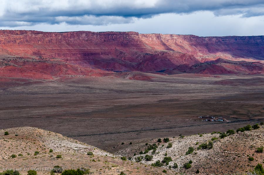
From Fredonia, follow U.S. Highway 89A through Jacob Lake and continue past the Vermilion Cliffs. Keep an eye to the sky for California condors.
We bunked at Cliff Dwellers Lodge years ago and liked it.
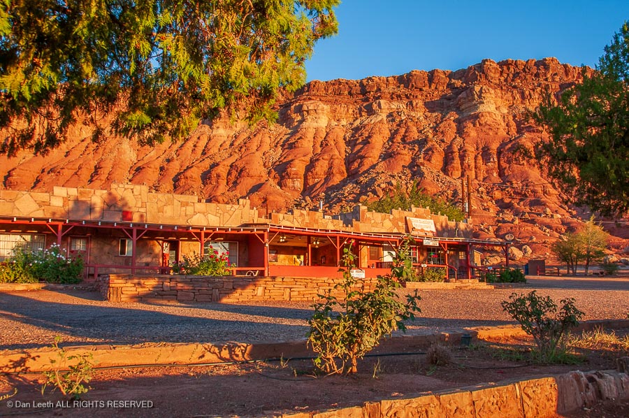
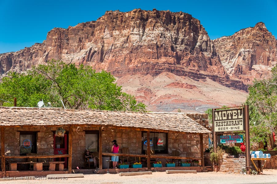
Lee’s Ferry Lodge at Vermilion Cliffs could be another overnight alternative.
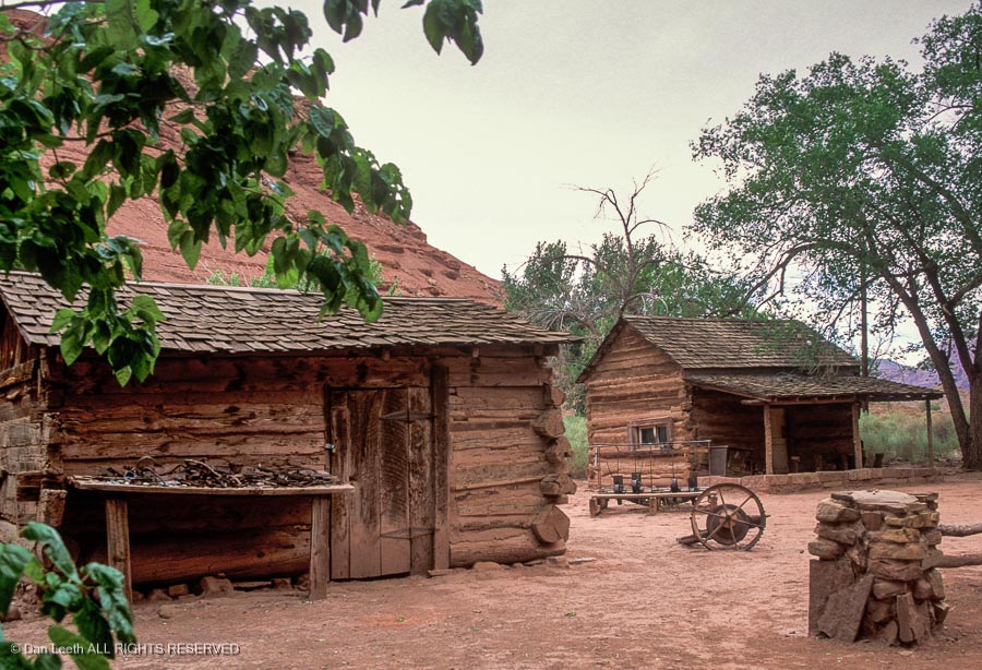
A short side trip to Lee’s Ferry is an option. This is the put-in point for Grand Canyon river trips. Here you’ll find he remains of Lonely Dell Ranch where ferry operator John Doyle Lee and one of his wives resided before he was executed for supposedly masterminding the Mountain Meadows massacre in 1857.
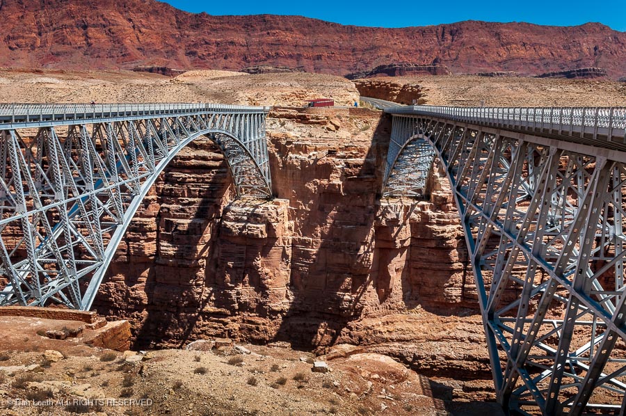
Back on the main highway, you’ll cross Marble Canyon and the Colorado River on the new Navajo Bridge. The old one is now just for pedestrians.
Continue to the junction with U.S. 89 and continue south along the Echo Cliffs. At the junction with U.S. 160, turn onto it and continue through Tuba City and onto Kayenta where you’ll turn onto U.S. 163 and head north through Monument Valley.
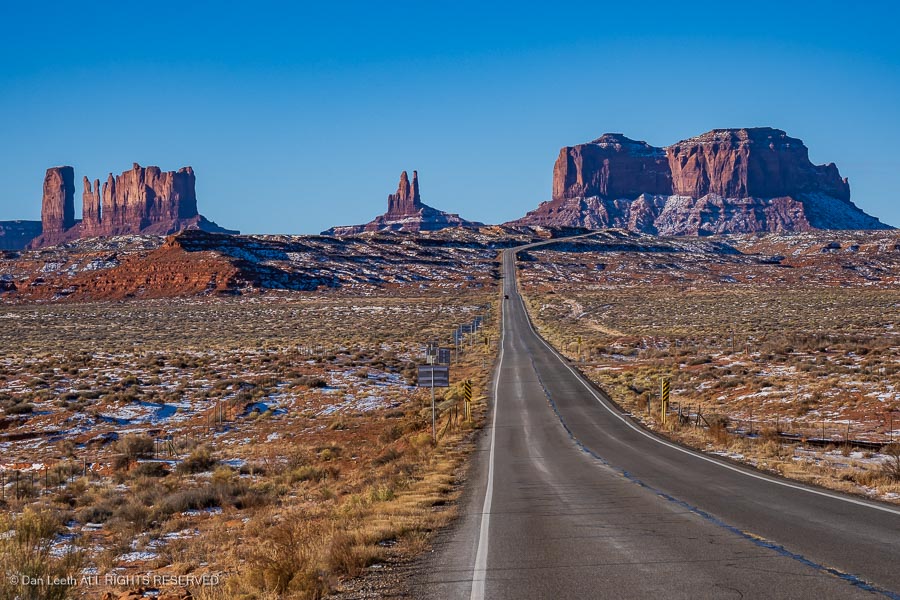
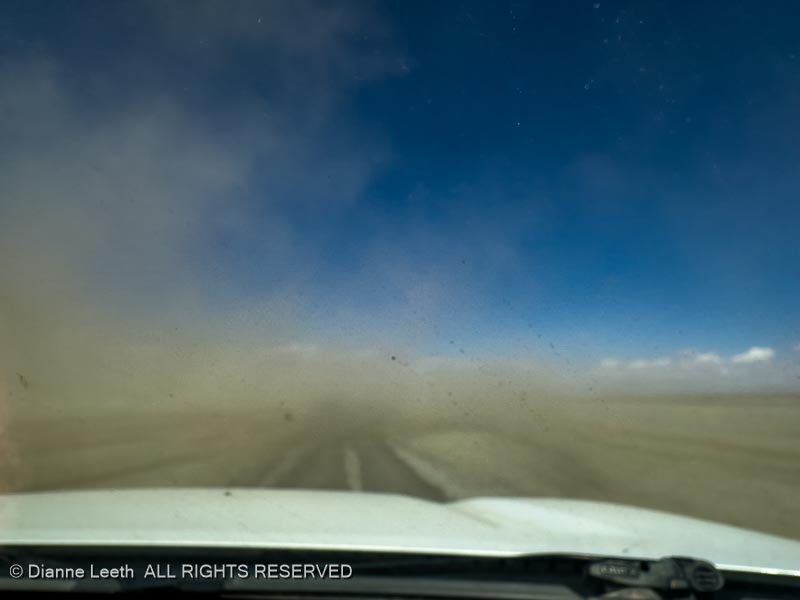
The drive through the valley (there’s a fee and it’s a gravel road) is interesting. Lodging options are the View Hotel and Goulding’s Lodge.
From there, continue north to Mexican Hat.
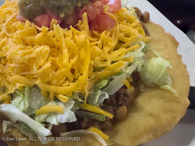
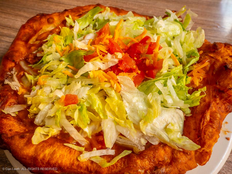
The San Juan Inn offers Mexican Hat lodging above the San Juan River, and its Olde Bridge Grille offers some of the best Navajo Tacos around.
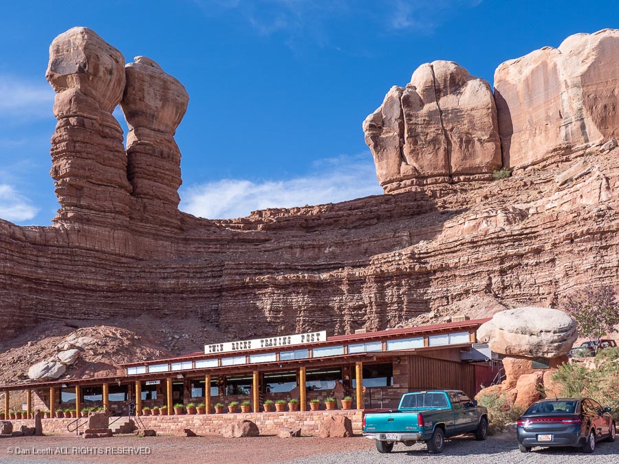
A bit south of Bluff, the highway becomes U.S. 191. In Bluff, the Twin Rocks Trading Post serves decent Navajo Tacos.
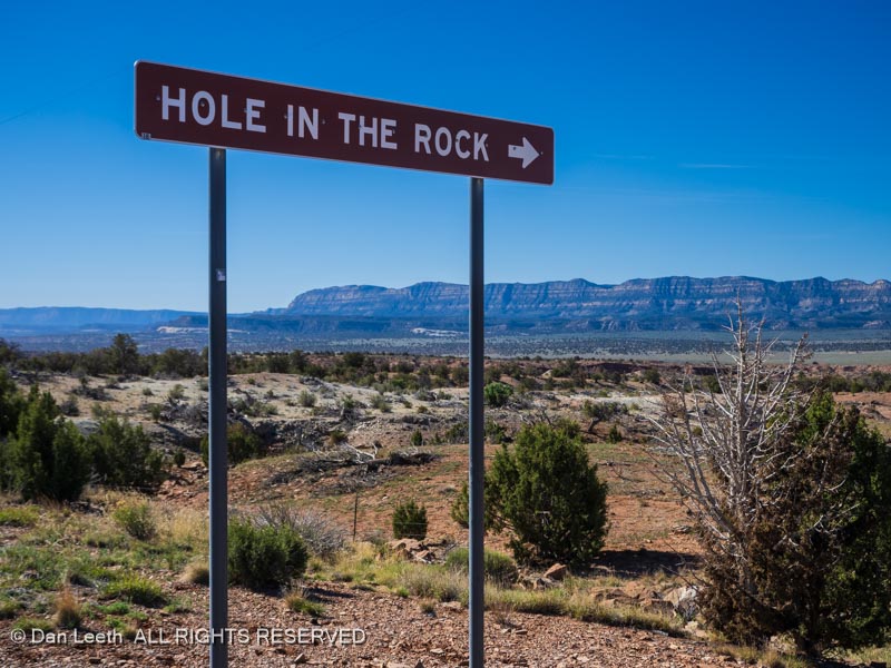
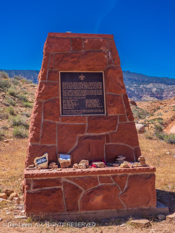
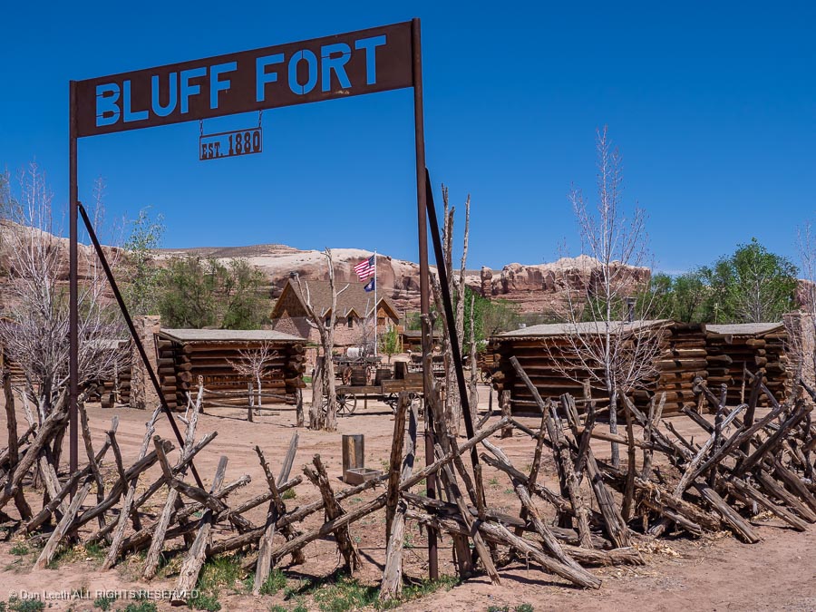
A stop at Fort Bluff tells about the Hole in the Rock expedition and the settling of Bluff. It’s run by the Mormons, but nobody’s tried to convert us on any of our previous visits.
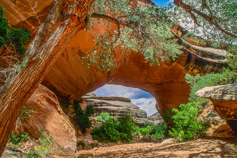
A side trip from just south of Blanding on Utah Highway 95 leads to Natural Bridges National Monument.
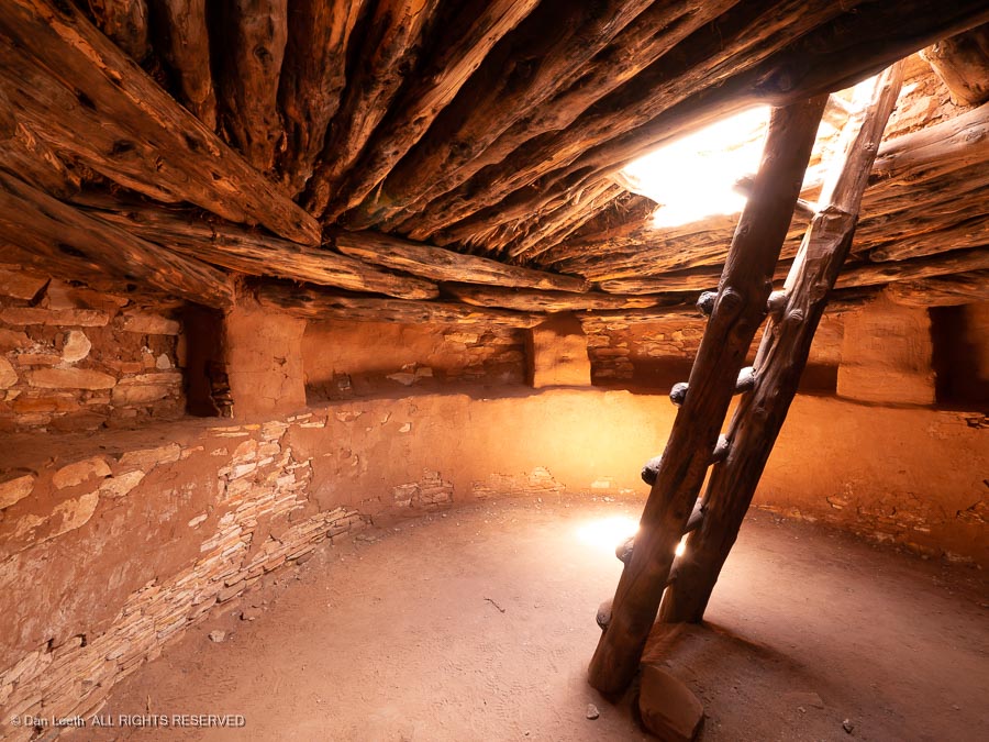
Continuing north on U.S. 191 into Blanding, a stop at the Edge of the Cedars State Park can be worthwhile if you’d like to learn more about the Anasazi culture. There are the remains of an Anasazi settlement here along with a restored kiva that you can enter.
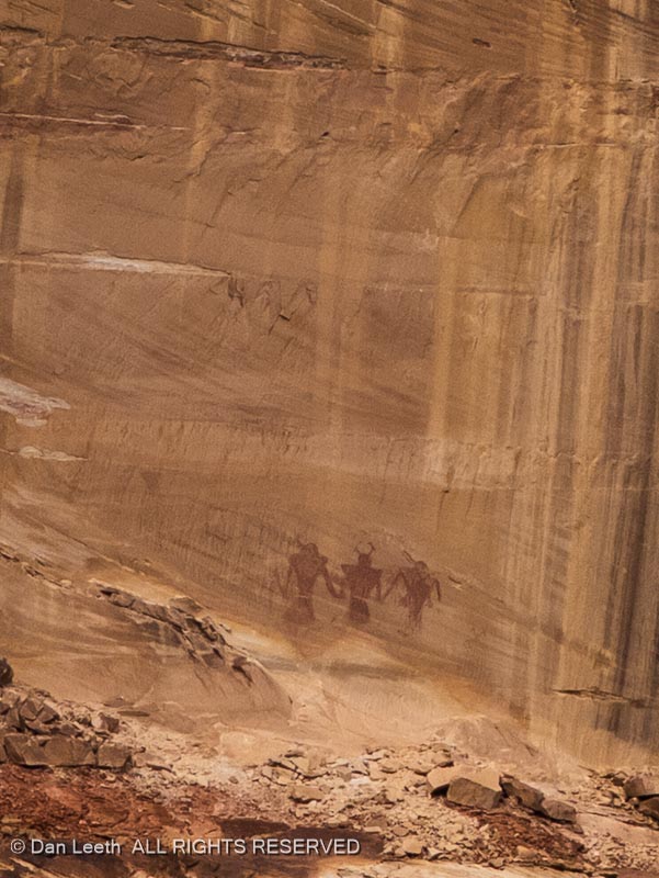
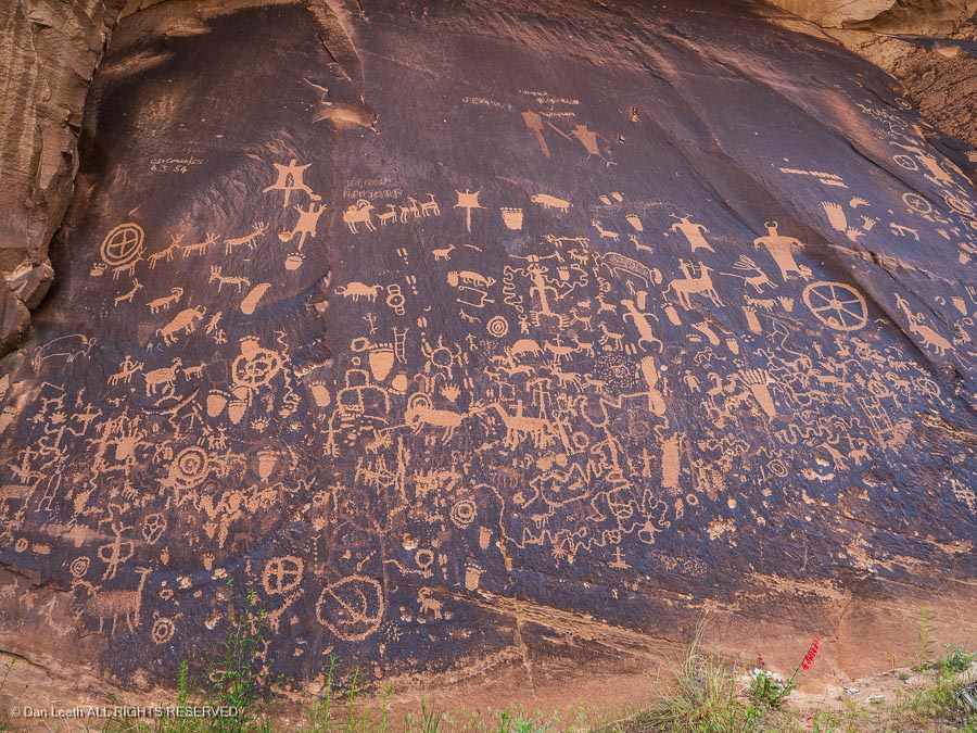
Continuing north through Monticello, a turn down Utah 211 leads to Newspaper Rock, a boulder covered with ancient rock art.
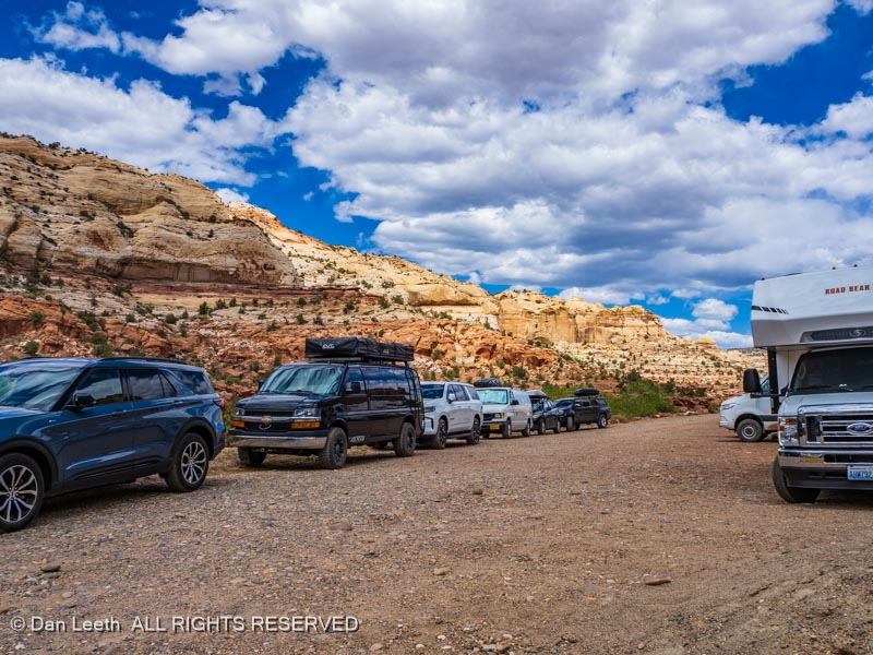
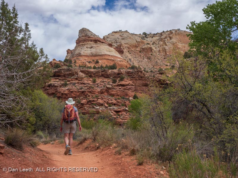
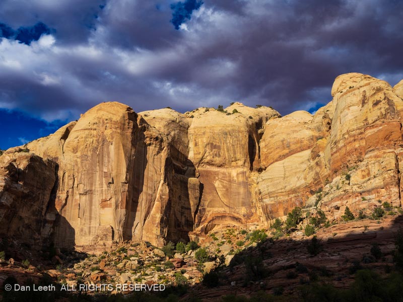
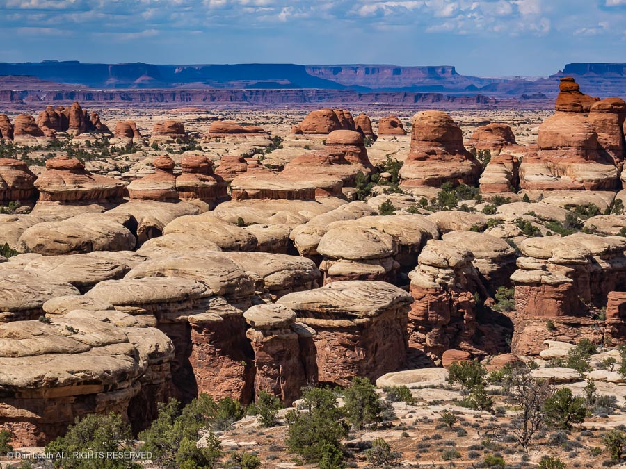
Continuing on, you’ll enter Canyonlands National Park’s Needles district. While it’s pretty from the roadway, this is really hiking country, but there are a few short, scenic trails worth following.
From Monticello, it’s north to Moab and you know how to get home from there.
Option 3
Head back through Zion, and after you finish your pies at the Thunderbird Lodge, head north on U.S. 89. After passing through Panguitch, Circleville and Marysvale, you’ll get to Big Rock Candy Mountain, home of Caboose Village. Here, one can bunk in retired railcars.
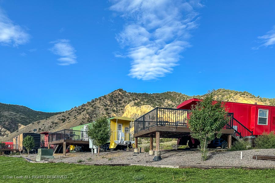
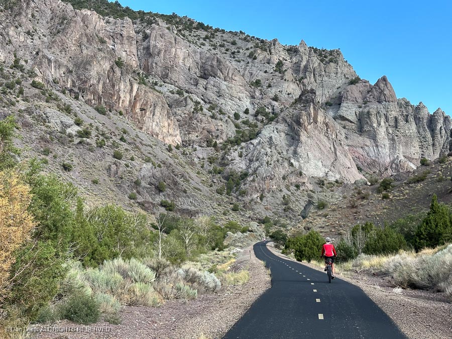
There’s a nicely paved bike trail across the river.
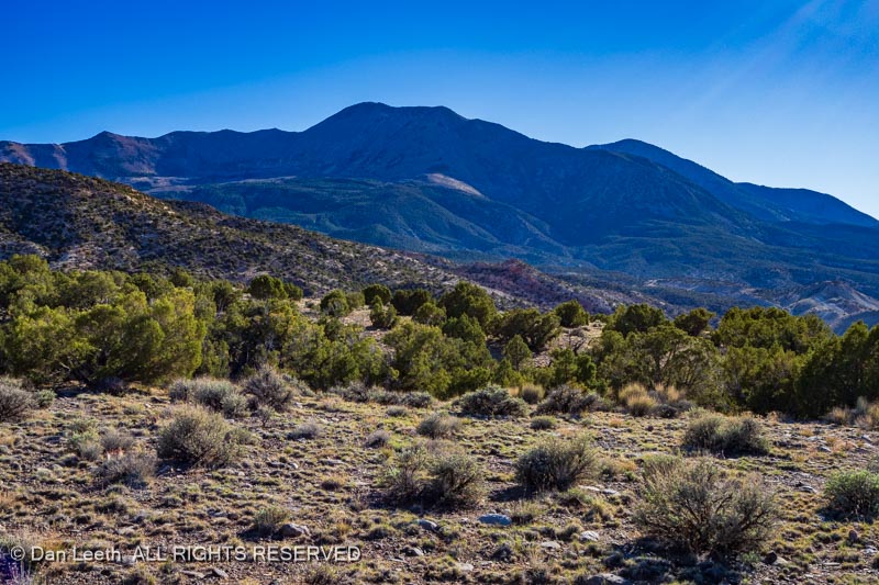
From there, it’s a straight drive north to I-70. A stop at Fremont Indian State Park, located near the highway junction, can be an interesting detour…
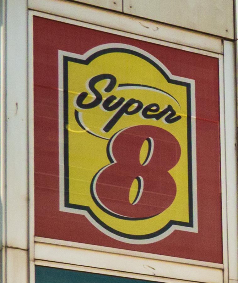
…and if you need lodging, the town of Richfield has a nice Super 8 Motel.