
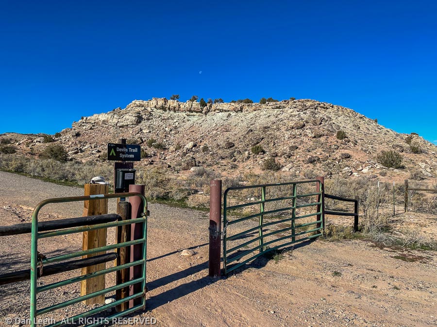
There are two major trailheads into the McInnis Canyons National Conservation Area off Kingsview Road – Devils Canyon and Pollock Bench. Today’s hike was a loop trip from one to the other and back again.
The BLM brochure Dianne picked up showed the route and said it was 6.4 miles in length, perfect for a sunny but cool, midday Wednesday hike. We threw our packs into the Mazda and made the ten-minute drive to the Devils Canyon trailhead.
This area is crisscrossed with trails and to help hikers out, the BLM provides pads of free maps. Trails are designated with letters representing the trailhead area and then numbered. We set out on the D1 trail before cutting over to the D5. We would follow that until it merged again with the D1 trail a few miles beyond. From there we would follow F1 (named for Flume Canyon) toward the Pollock Bench trailhead where a connector trail would lead us back to the Devils Canyon trailhead.
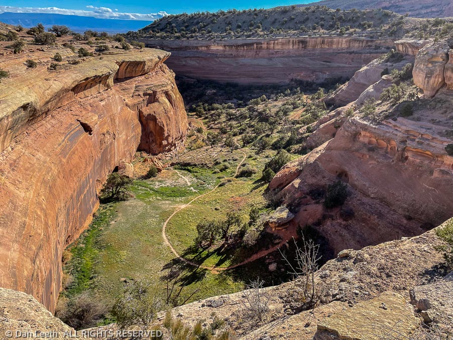
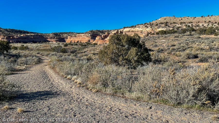
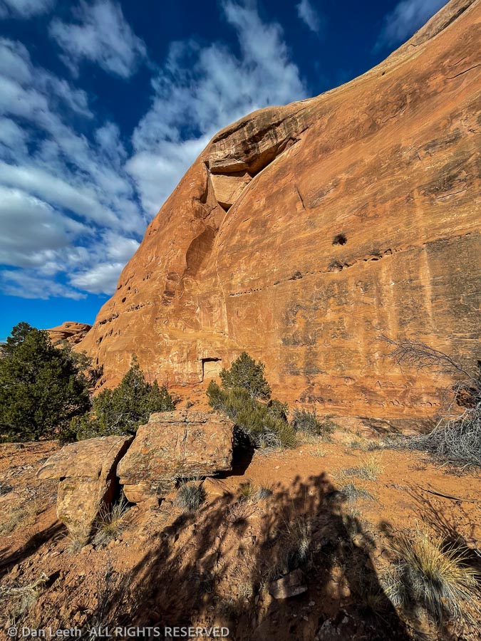
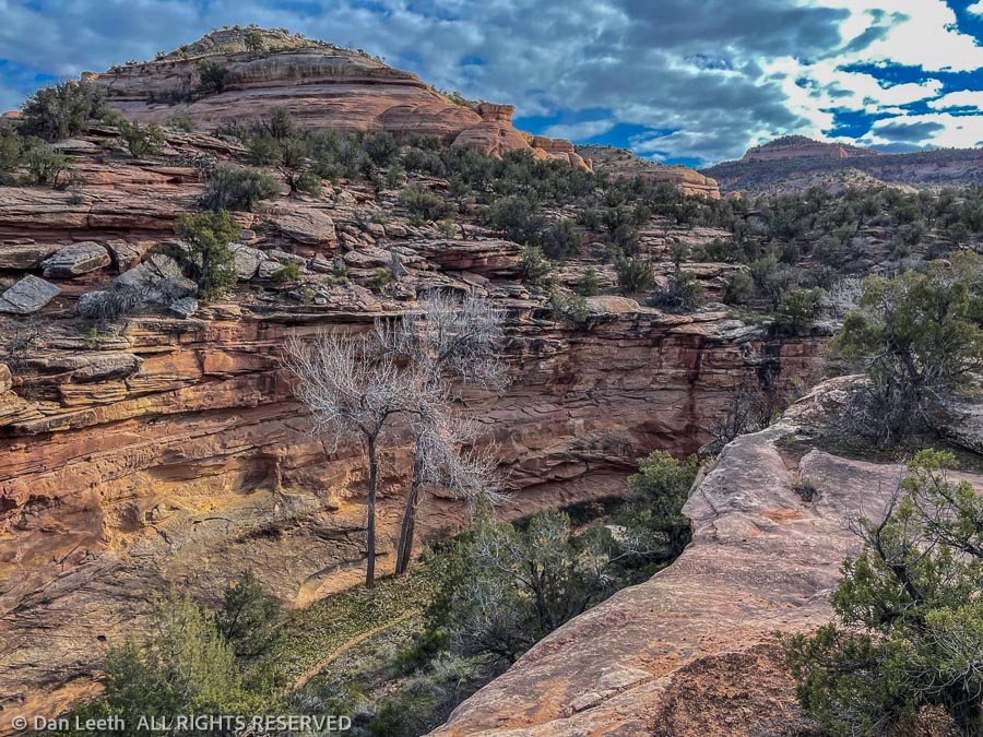
Our trail wandered up benches and over piñon and juniper terrain before looping around the rim of a sandstone-hemmed box canyon. Far below, a trail led up the canyon floor to its sheer-walled end. I promised myself that we’ll explore that trail one of these days soon.
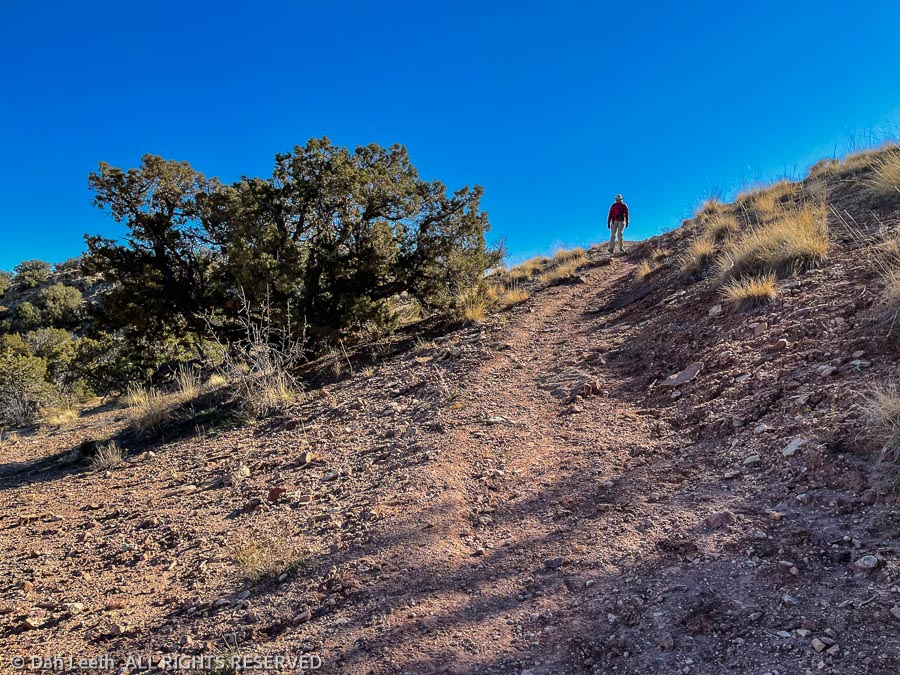
While the BLM is good about providing trail maps, they aren’t too good about marking trails on the ground. We came to several undesignated trail junctions. While Yogi Berra may suggest “if you come to a fork in the trail, take it,” that wasn’t going to work for folks like us who need to follow specific routes to reach our destination.
At such unmarked junctions, we always tried to follow the most logical, well-worn paths and used a lot of dead reckoning. With only a few blunders, we ended up on the correct combination of trails that would take us to the F1 trail, which would follow the rim of Flume Canyon toward the Pollock Bench trailhead.
Our biggest trail-finding error came near the Pollock Bench trailhead. A quarter mile or so before the parking area, we were supposed to find the Devil’s-Flume Connector trail. It was nowhere to be seen. Dianne suggested just hiking the road back to our car. I preferred first trying a bit of backtracking.
We soon found the connector trail, which it turned out was nicely signed. We would have spotted it if we had stayed on the main trail and not got sidetracked down somebody’s shortcut.
We followed the connector up a shallow canyon until we got to reached a barbed wire fence strung across the wash. We could have crawled under the wires if we had wanted to, but logic suggested the BLM wouldn’t offer a formal trail that required such a maneuver. After a few false starts, we discovered a that our trail crossed over a little rise to where the fence ended. After rounding the wires, it was pretty much easy going from there.
Back at the car, we checked our Garmin GPS watches. We had covered 8.62 miles on our 6.4-mile hike.