
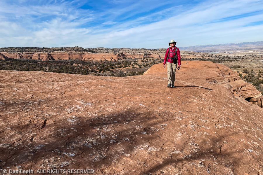
It was sunny and a balmy 28 degrees outside, perfect conditions for a winter hike in Colorado’s canyon country. Our goal today was to explore the Kodel’s Canyon section of trails in the McInnis Canyons National Conservation Area. We started from the Devil’s Canyon parking lot.
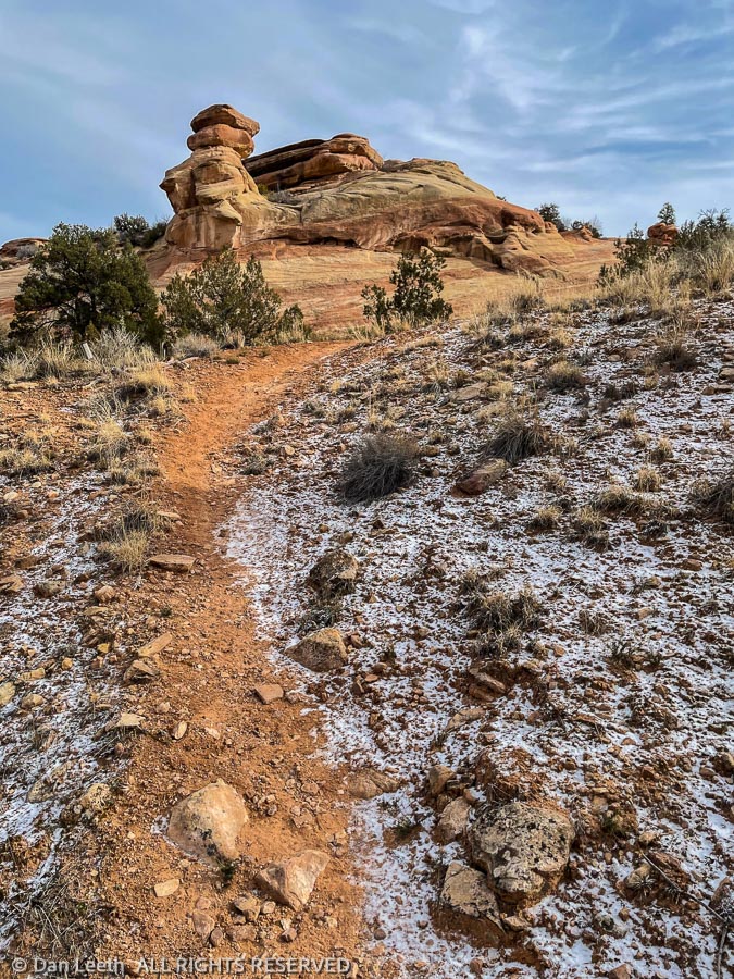
The B.L.M. designates trails out here with letters and numbers, with the letter identifying the area. We followed Devils Canyon’s D1 trail to its intersection with Kodel’s Canyon trail K1. The K1 was easy to follow as it wound its way up shallow canyons and over soft ridges.
As I’ve probably mentioned before, there are a plethora of unofficial, “social trails” out here that look just as well trodden as the official pathways. The BLM hasn’t done a very good job at marking and signing trails, so knowing just where to go sometimes can be a challenge.
Not long after turning onto the K1, we came to fork in the trail. Both options were equally well covered with footprints. One side dropped down into a small, cliff-hemmed wash. The other led across the flats toward more distant cliffs. We went that way.
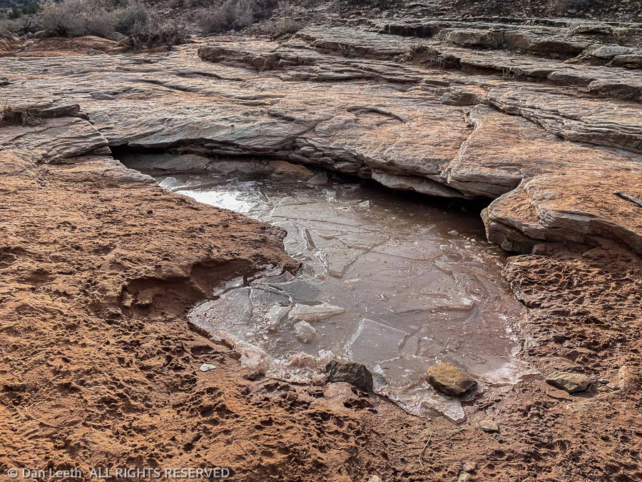
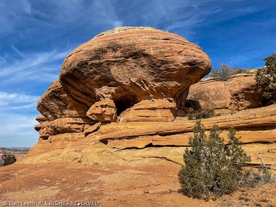
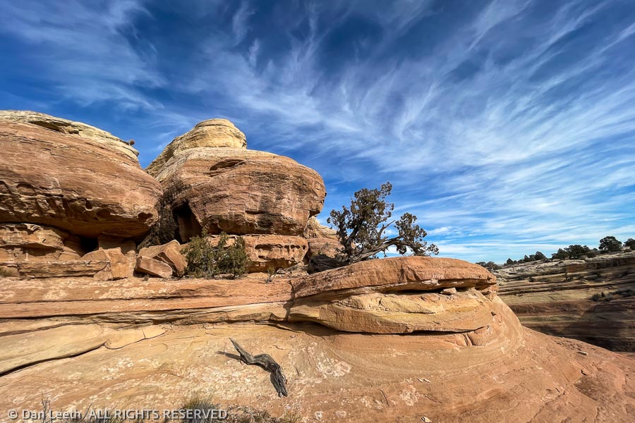
The path led us onto long rib of sandstone, dotted with rain-catching water pockets. A toadstool hoodoo stood at one end. While the route provided a delightful diversion, this was obviously not our trail. We hiked back and took the other fork.
We continued along that trail to another unmarked fork where we met a man hiking with his dog. There are a lot of official side trails that intersect with the K1 trail, and we figured he was on one of those. We continued onward.
The trail upward from here showed signs of recent trail maintenance with new freshwater diversion channels added. At the top of a small ridge, this nicely improved trail seemingly stopped. We could find no sign of a pathway beyond. With Highway 340 visible below, we knew we wouldn’t get lost, so we started bushwhacking our way down, figuring we’d cross the trail somewhere below. We didn’t.
I’m a map guy. I prefer to use 7½-minute topo maps, not a GPS in the field. Lacking a 7½-minute topo, I decided to make an exception and use 21st century electronics to see just where we were. I clicked the CoTrex app on my phone and discovered we were nowhere near where we were supposed to be. Wrong Way Corrigan could not have gotten us more off route.
We pointed ourselves in the right direction, crossed a barbed wire fence and continued cross-country to where we wanted to be. There we caught the series of trails that would lead us uneventfully back to Devil’s Canyon and our parked car.
We now have a goal for our next McInnis outing. Next time, we’re going to start at the opposite end of the trail and hike the K1 back toward Devil’s Canyon. I want to see where we went wrong.