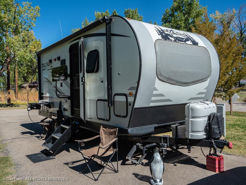
On Thursday, we hooked up the trailer and headed off to Green River State Park, a 90-minute drive from home. We had five nights reserved at our favorite campsite with water and electric hookups. Our objective was to hike a couple of canyons on a Colorado Mountain Club (CMC) trip, then spend a couple of days exploring on our own.
Our original plan was to continue from Green River to Joshua Tree National Park and then on to Death Valley for a couple of weeks. Damage caused by Hurricane Hillary nixed those plans. Instead of a month on the road, we would have just five nights away, which was fine.
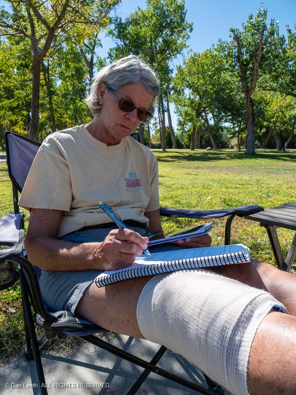
Dianne was having knee issues and could barely walk, so there wouldn’t be much hiking for her to do anyway. At Green River she could stay at camp and enjoy the day without needing to supervise her husband.
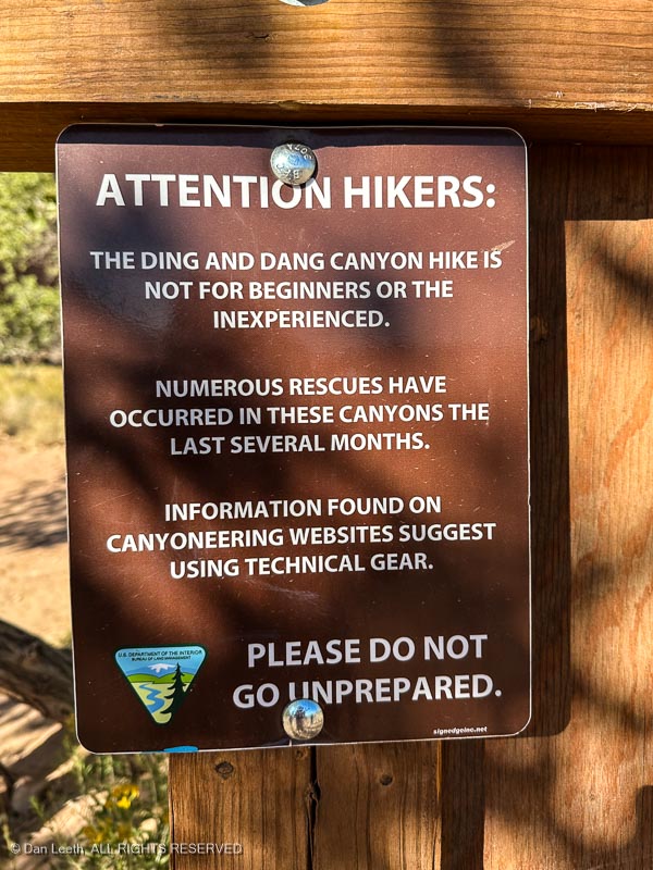
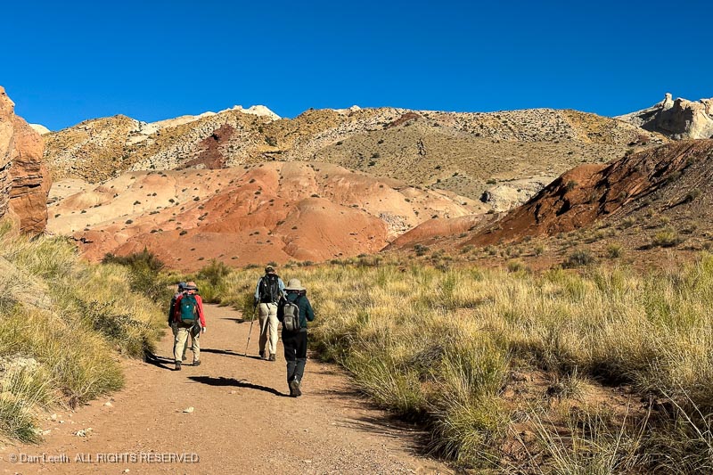
Friday morning, five of us from the CMC set off to hike Ding and Dang Canyons in the San Rafael Swell for a day of Type II Fun – difficult at the time but feels rewarding afterward. The BLM made sure we knew what we were getting ourselves into.
Our adventure began with a short, mile-long hike up a dry wash to the junction of the two neighboring defiles. We took the right fork to begin our walk up Ding Canyon.
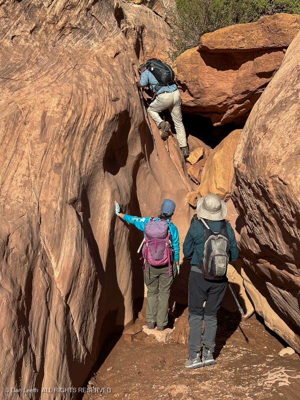
Walls rose and we were soon passing through a narrow slot in the cliffs with the occasional obstacle to overcome. Let the fun begin.
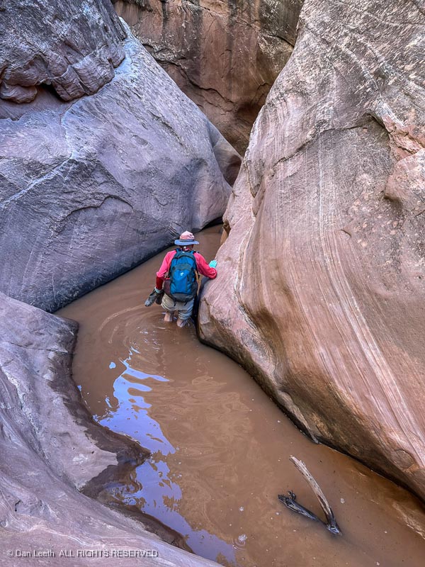
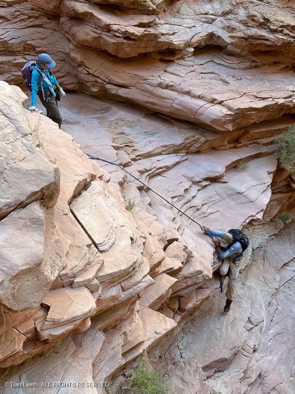
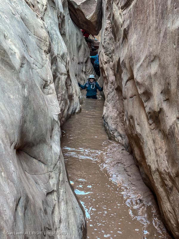
It didn’t take long for us to find our first water hazard – a 50-foot-long, calf-deep strip of cold, muddy water.
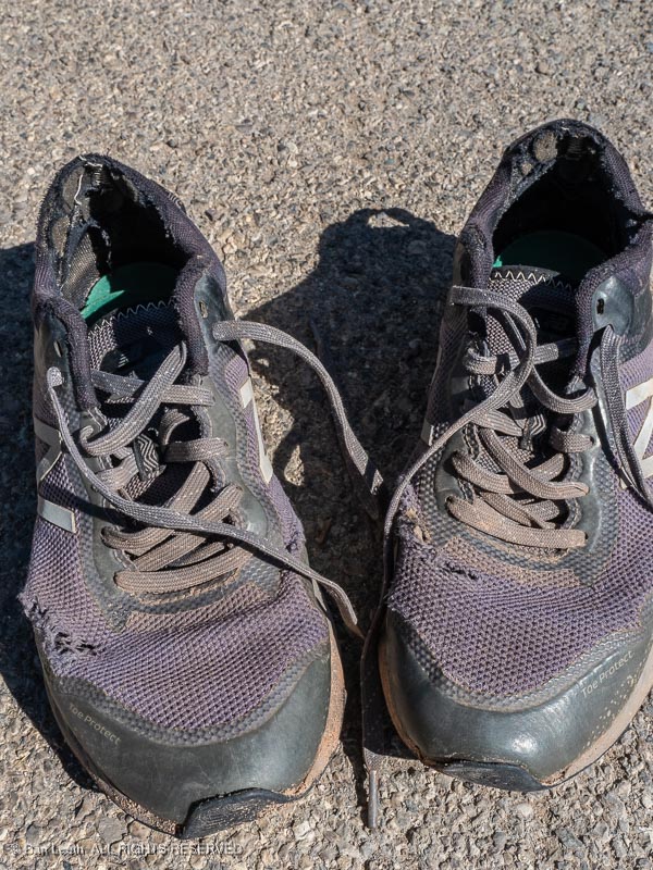
Off came the hiking boots and on went the wet walking wear. For me, it was an old pair of tennie-runners, which I wore sans socks.
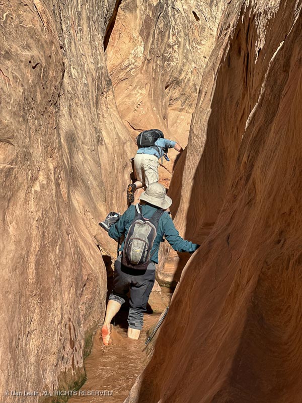
The route got more interesting as we progressed upward with boulder chockstones blocking the canyon…
…and more water hazards to negotiate.
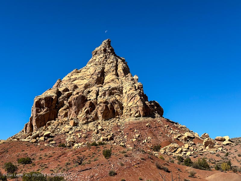
About three miles from the start, the canyon opened, and we exited into a broad valley. There we got our first sighting of Ding Dang Dome, which we all agreed looked nothing like a “dome.” Whoever named it obviously opted for alliteration over accuracy.
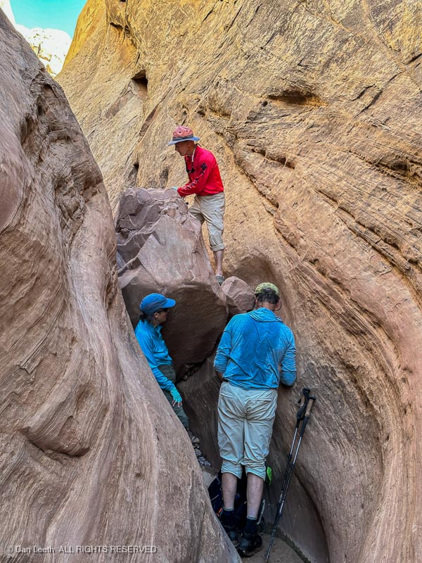
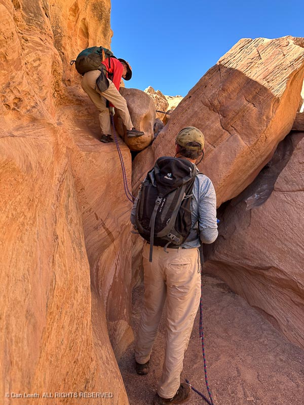
From Ding Dang Dome, we turned down a shallow wash and soon entered Dang Canyon, the more technical of the two abysses.
In numerous spots, we had to use ropes to descend one drop…
…after another.
There were deeper pools of cold, muddy water that, depending on one’s height, was crotch to waist deep.
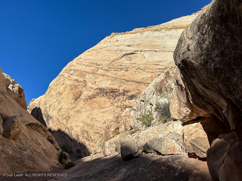
Finally, the canyon opened, sunlight bounced off the rocks and I could finally get out of my tennies and put my hiking boots (and socks) back on.
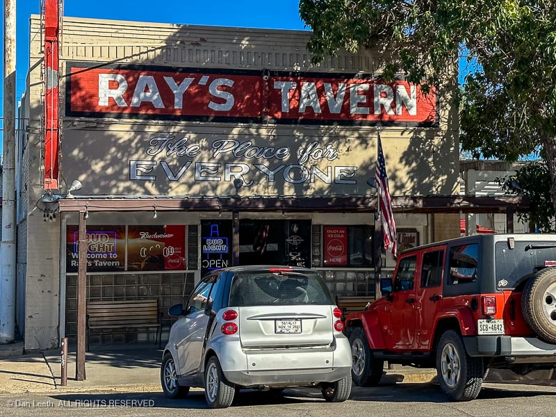
That night, we headed to Ray’s Tavern for burgers and beer.
After a day like this, that glass of Wasatch Amber tasted swell.
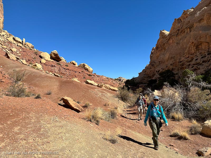
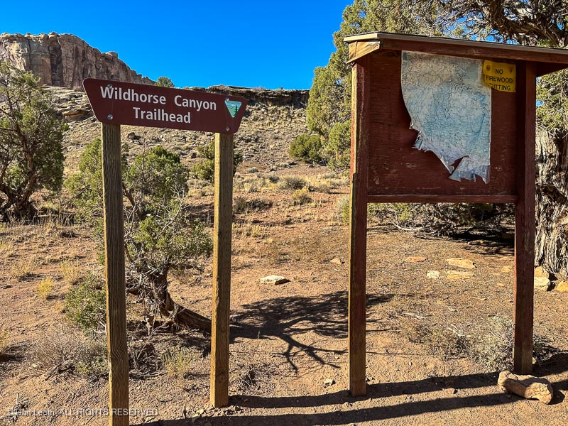
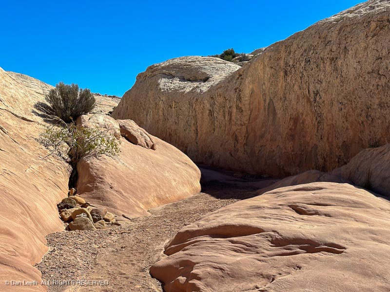
Not to be confused with Little Wildhorse, which we hiked last spring, just plain old Wildhorse is a broad canyon with only a small section of narrows. It’s easy walking with no chockstones to climb nor descend and nary a drop of water to wade. It was a perfect follow up to Ding and Dang. This will be Type I fun.
A dozen of us started down the canyon from the trailhead, which also served as a campground for friendly ATV and dirt bikers. It was easy going with a dash of fall color to admire.
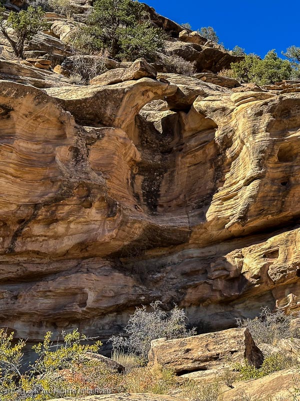
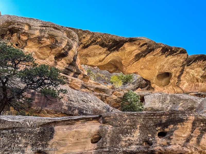
We passed the first…
…and second of the two arches/bridges and stopped for photographs.
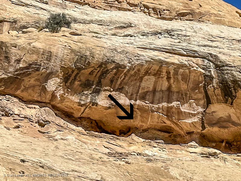
A bit farther down the canyon, one of our eagle-eyed fellow hikers spotted some Fremont Indian pictographs high on the cliffs.
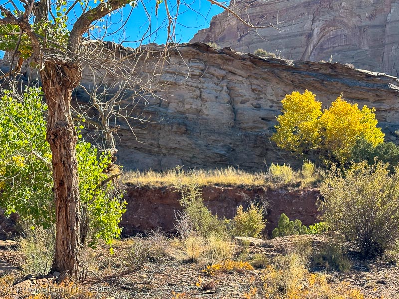
After passing through a shallow set of narrows, we stopped for lunch beneath a cottonwood tree, then retraced our steps, four miles back to our vehicles.
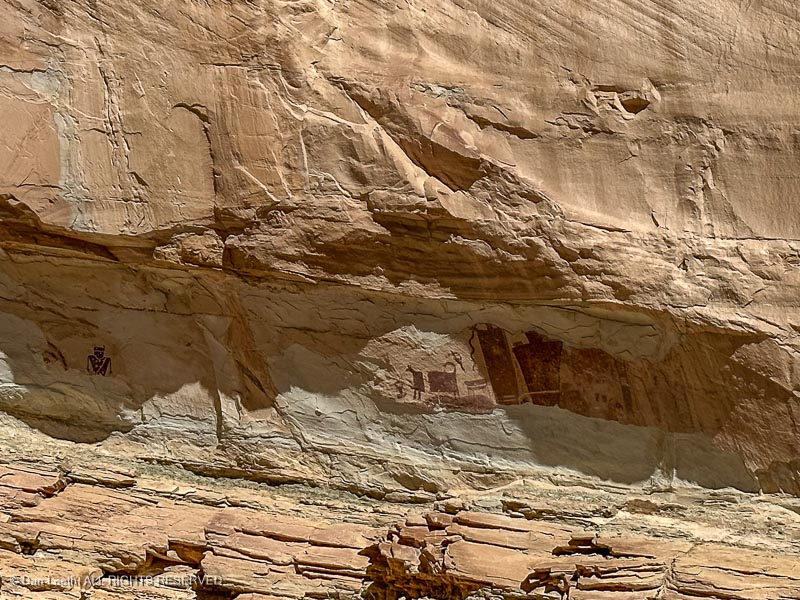
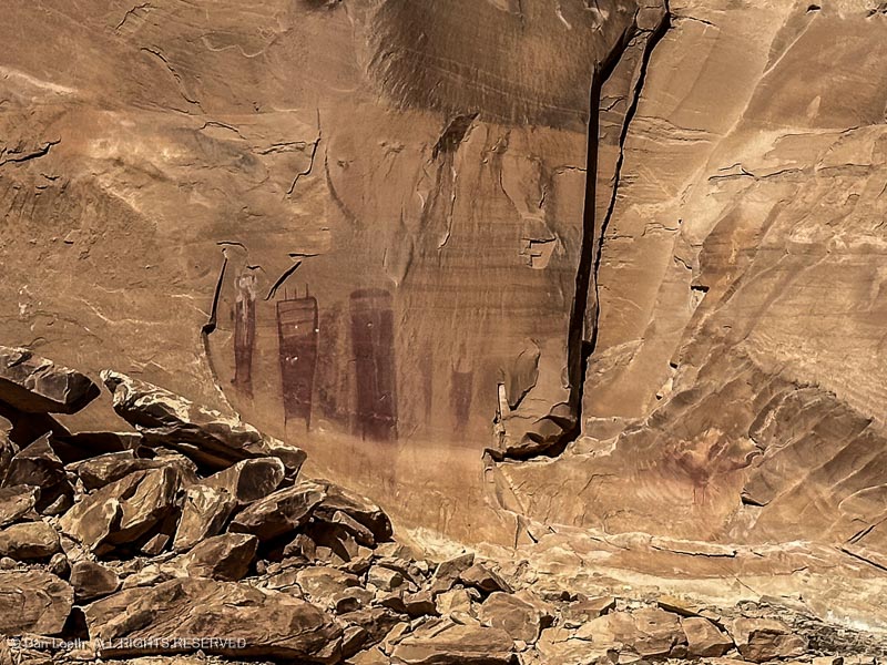
On the way back to Green River, Paul, our driver first stopped so we could check out the Temple Mountain Wash pictographs…
…and then took us on a short a detour off the interstate to see the Black Dragon pictographs.
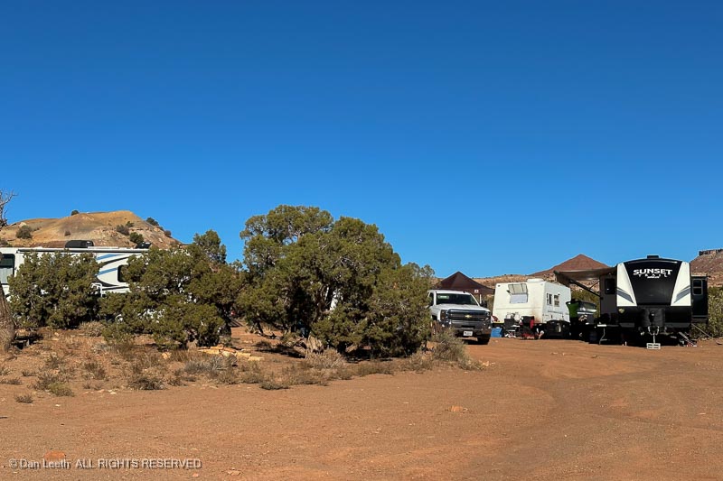
Our Colorado Mountain Club friends departed on Sunday, but we had booked a pair of additional nights at Green River State Park, so we got to stay and enjoy two extra days of beautiful Utah weather without a fixed agenda.
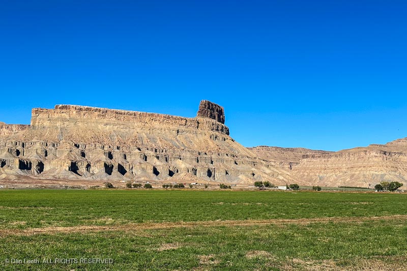
Our first day was spent just enjoying the town. We drove out to where Dianne’s ancestors once owned a ranch at the base of Gunnison Butte.
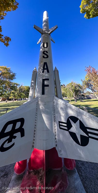
Back in town, we learned about the Green River Lunch Site where Athena missiles like this were fired toward New Mexico.
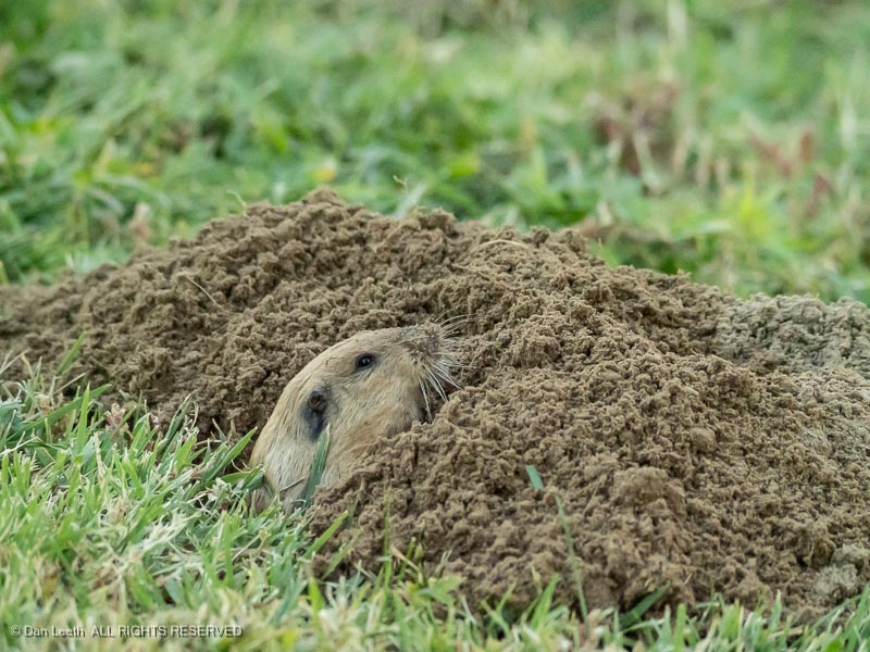
At camp, we watched this little guy excavating a tunnel beneath the campground lawn.
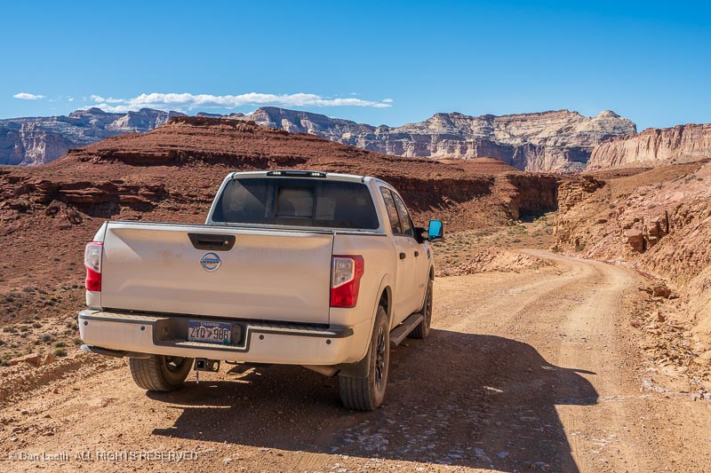
On Monday, we topped up the truck’s tank and went for a drive out on backcountry roads, on which we had originally planned to take the Subaru.
Normally I’d be willing to disclose our route, but we encountered fewer than a half-dozen other vehicles out in this vast, empty landscape. We want to keep it that way.
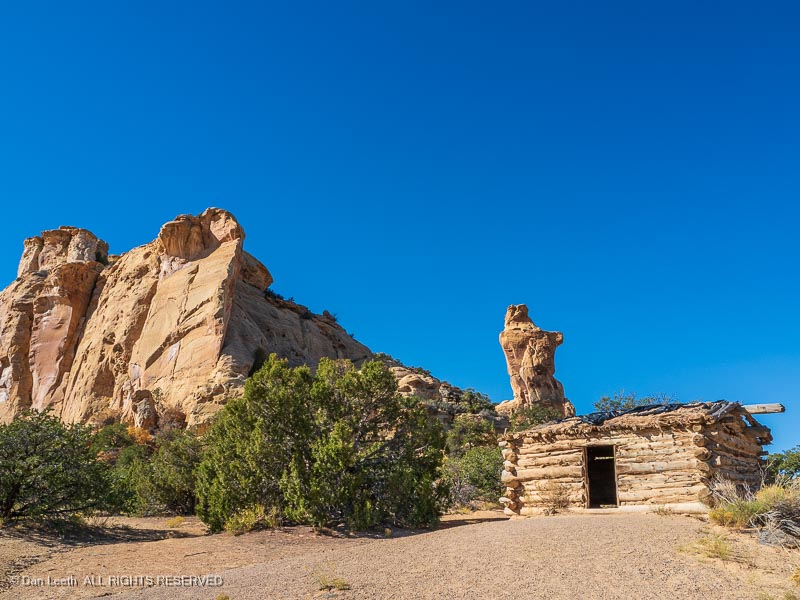
Of course, those of you familiar with the area may recognize this cabin, which we drove near the start of our adventure.
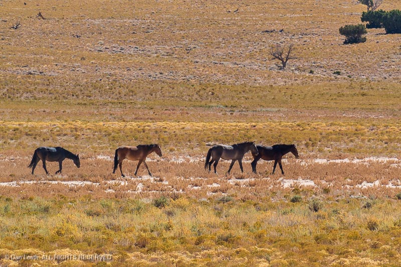
The first part of our journey took us across some open, grassy lands, home to herds of wild horses.
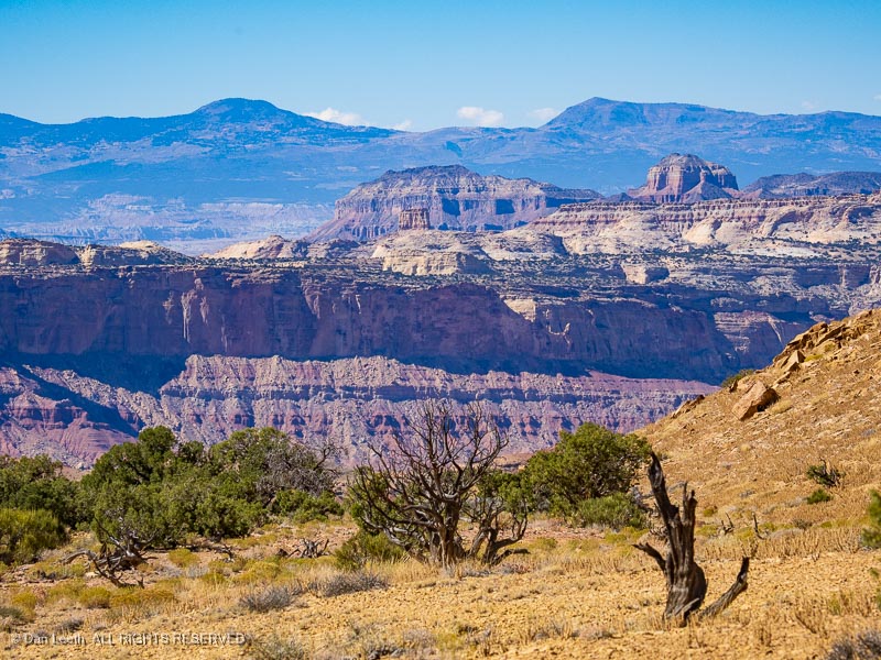
The scenery changed a few miles later.
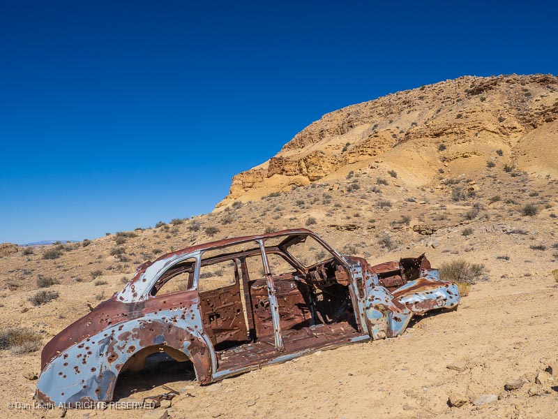
We passed several previously owned vehicles, this one perforated with more bullet holes than Bonnie & Clyde’s ’34 Ford.
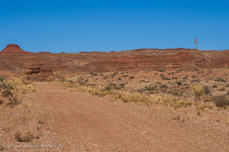
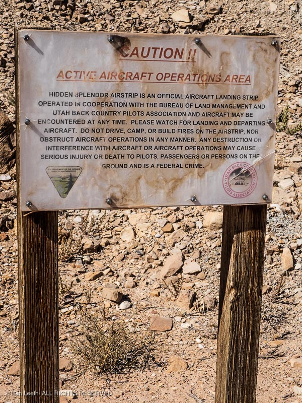
This is not a road. Notice the windsock? This is actually an airfield runway near an old uranium mine site.
It’s still in use today, we’ve been told. Instead of the TSA, I suspect flights into here are more likely to be greeted by the DEA.
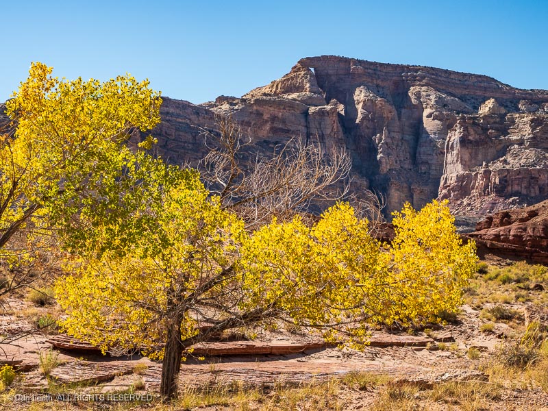
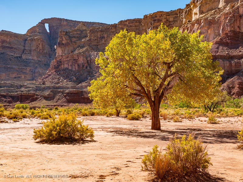
Backtracking, we came to a fork in the road and took it. We soon encountered a golden touch of autumn color…
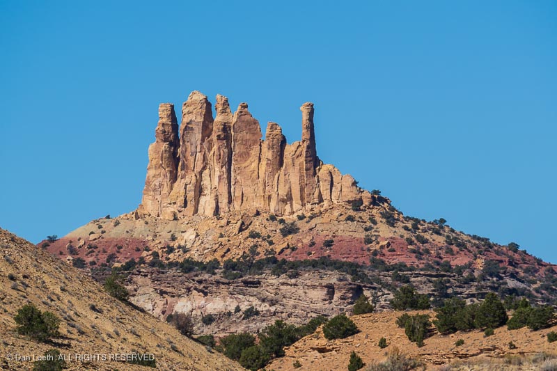
…with a lofty, natural arch for a backdrop.
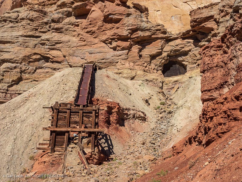
We passed the rusty remains of an old uranium mine…
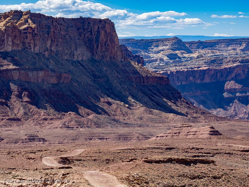
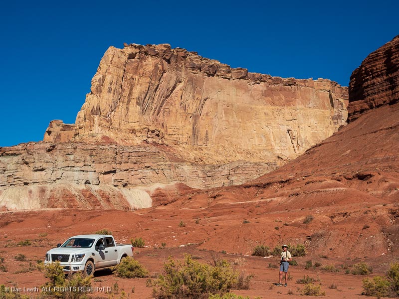
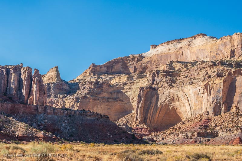
…and plenty of towering natural splendor to admire and photograph.
With Dianne unable to hike, our backcountry drive proved to be a swell way to spend our last full day in the San Rafael Swell.