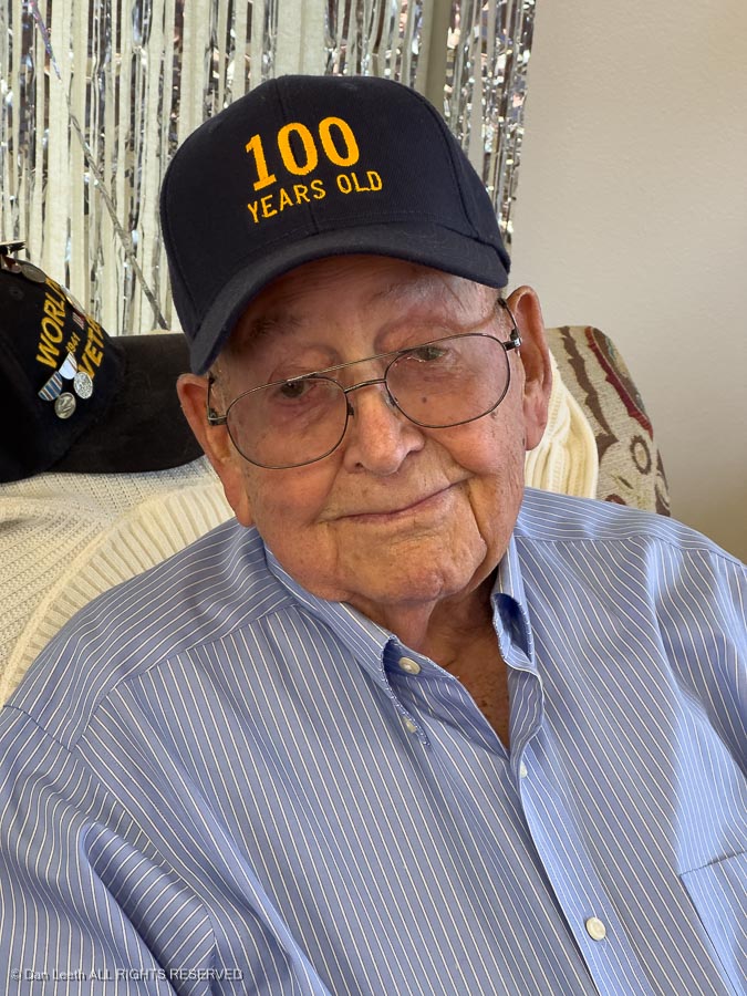
Dianne’s dad (age 100½) was experiencing some medical issues, which ultimately resulted in him spending a few nights in the local hospital.
To help her mom (age 94½) handle issues (and translate what the doc was telling her), we thought it would be a good thing for Dianne to head out to their estate in Western Nevada. Dianne booked a ticket, packed her bag and a few hours later was onboard an Amtrak heading west.
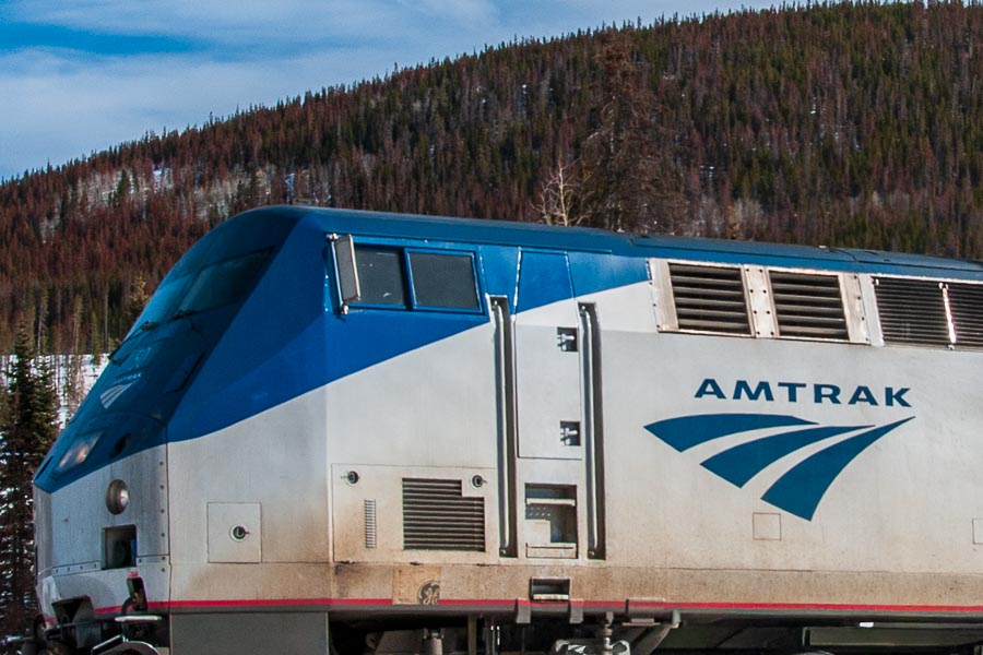
She arrived in Reno a mere eight+ hours behind schedule, which for Amtrak is pretty much on time.
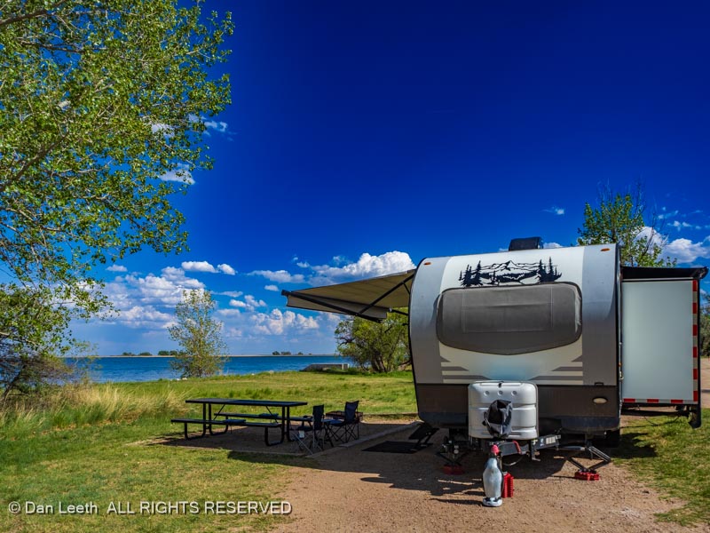
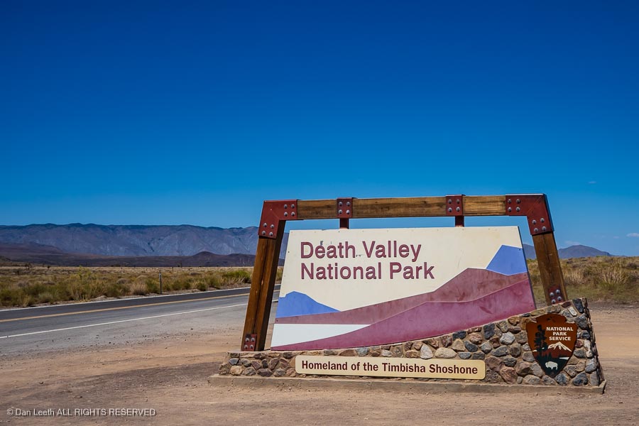
Her dad survived and was soon at home again and functioning well. Dianne could have taken the train back to Grand Junction, but I had a better idea. I would drive out, load up the wife and we’d take the Subie back home by way of Death Valley.
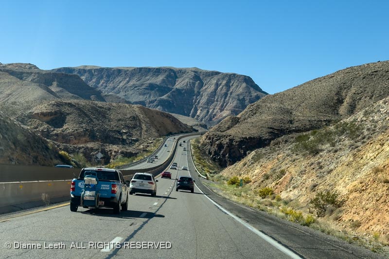
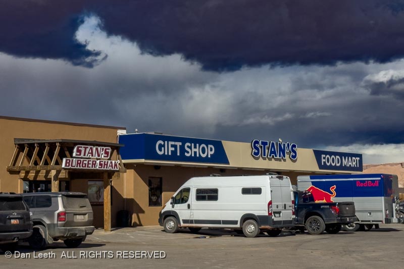
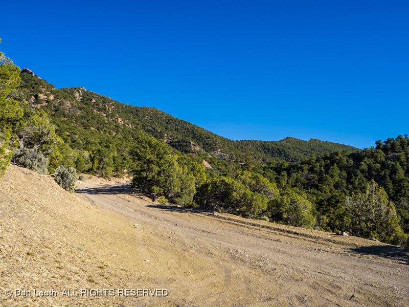
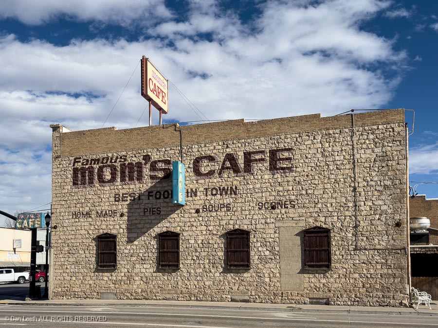
My route from Colorado took me out Interstate 70 to Salina, Utah, and then across Nevada on U.S. 50, the loneliest road in America. Stops included lunch at Mom’s Café in Salina…
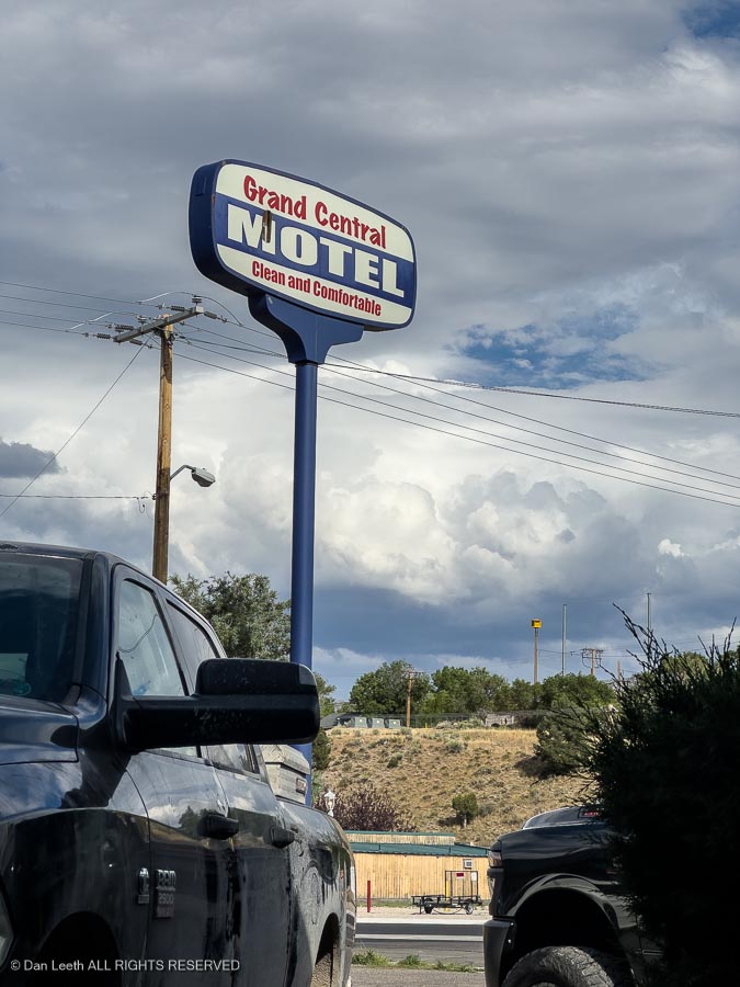
…with an overnight stay at the Grand Central Motel in Ely, Nevada.
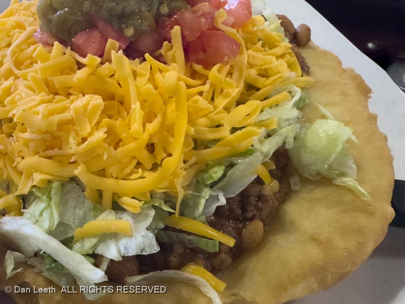
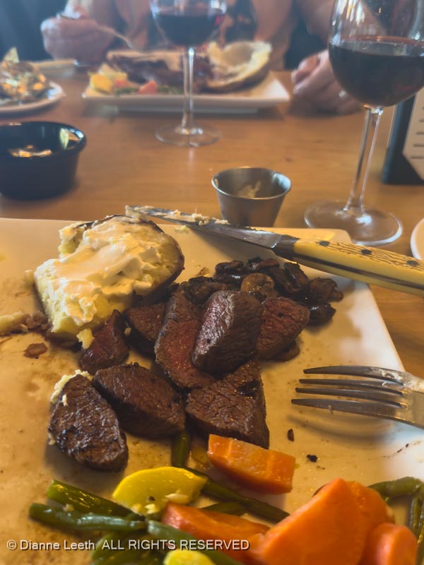
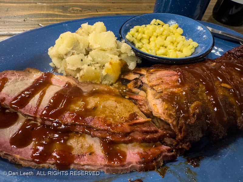
There, I enjoyed my usual on-the-road evening dinner.

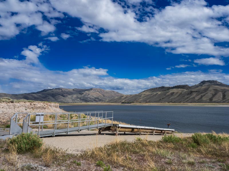
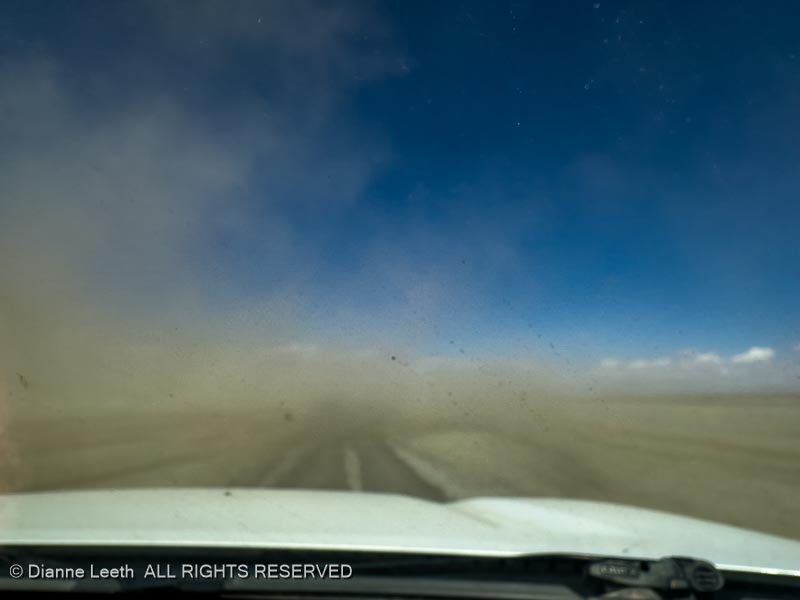
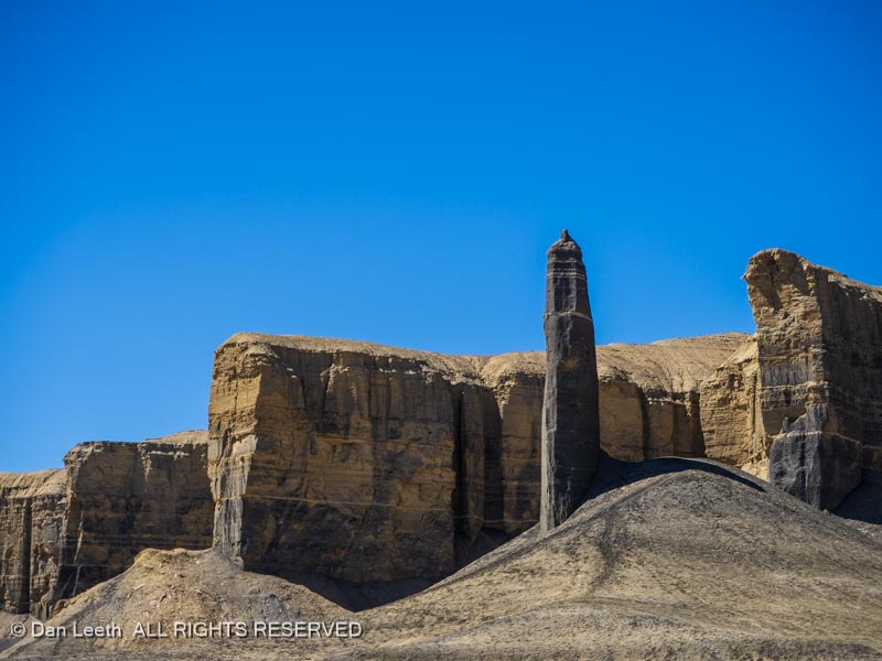
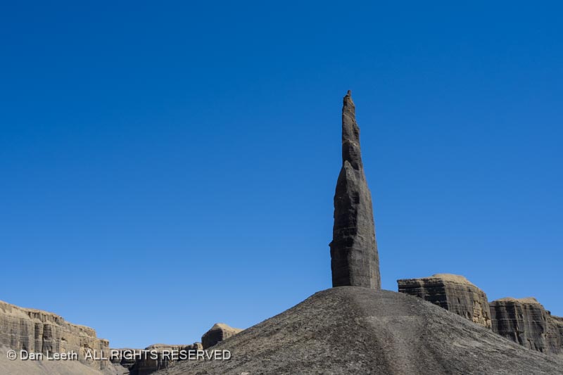
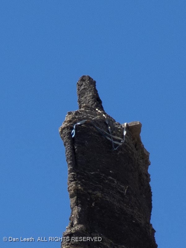
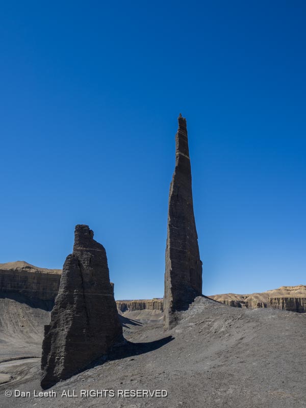
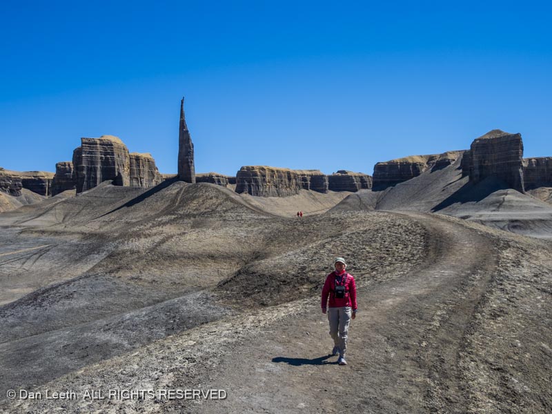
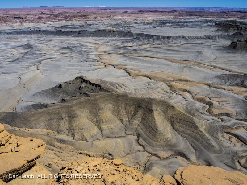
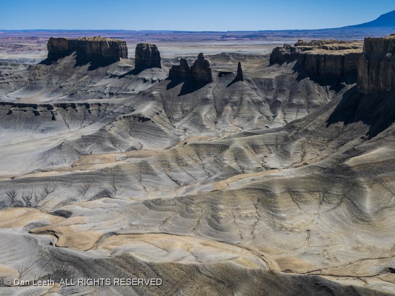
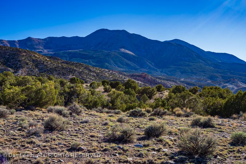
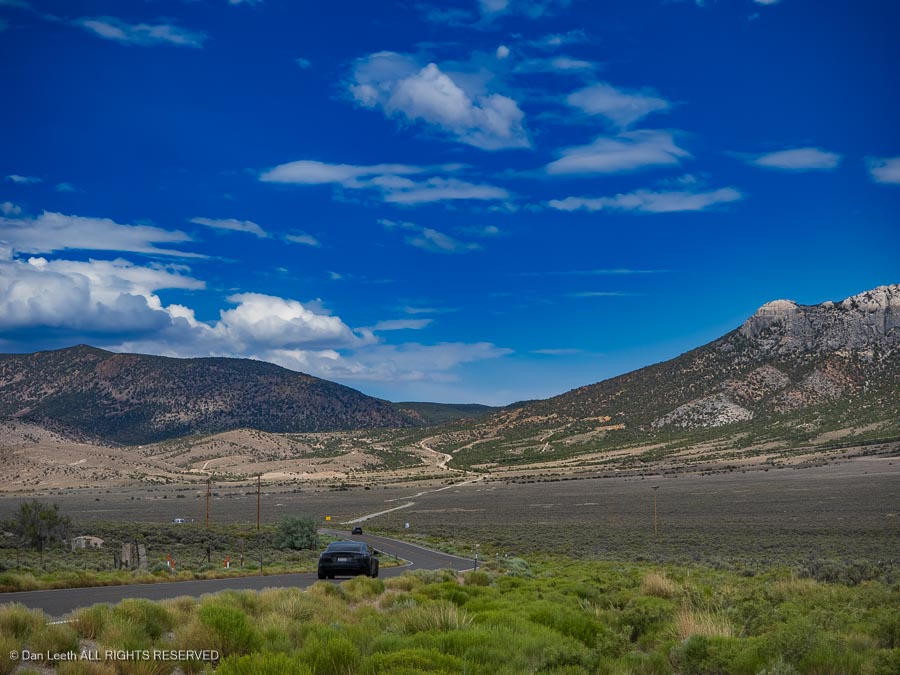
Continuing westward the next morning, I continued across the Great Basin Desert, which some us actually find to be strangely attractive terrain.
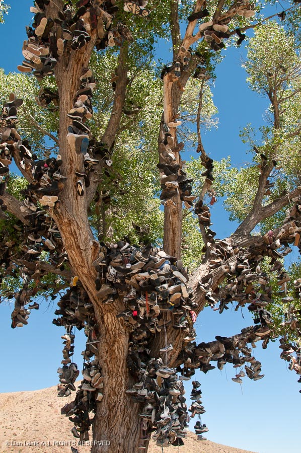
I made the obligatory stop at the shoe tree near Middlegate, Nevada. This is the replacement shoe tree.
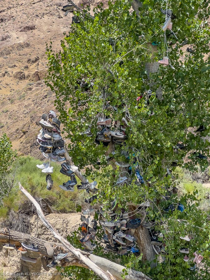
Vandals chopped down the more impressive original (see below) in 2010.
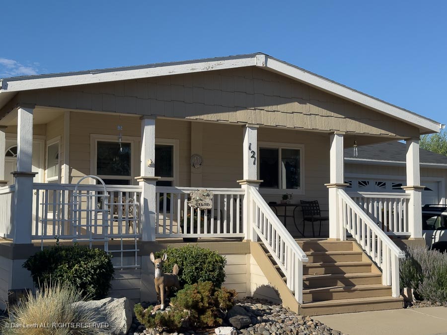
I finally reached Chez Giles in Gardnerville, Nevada, where I stayed for two pleasant nights.