I spent several days planning, organizing and reserving sites for a month-long trailer camping trip beginning in Utah before heading to Joshua Tree and Death Valley National Parks and then up to Nevada for my father-in-law’s 100th birthday.
Then the government shut down. We got a notice from Joshua Tree that our reserved campground would be closed for 2/3 of the days we would be there. I could work around that, but we were worried about what else might close or be closed for our planned visits. Making the best of the situation, we cancelled everything, eating over $100 in cancellation fees.
Instead, we kept our reservation at an RV park outside Capitol Reef National Park where we would be hiking with other members of the Colorado Mountain Club. Then we made reservations for a three-day stay in an RV park in Hanksville, Utah, where we planned to do some photography. From there, we would head to Green River for three days.
Our chapter of the Colorado Mountain Club (CMC) had an early October outing planned for Capitol Reef National Park. Unfortunately, we did not learn about the trip until it was too late to reserve a campsite in the park.
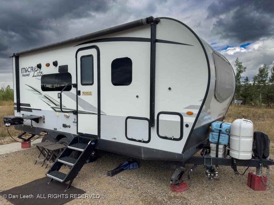
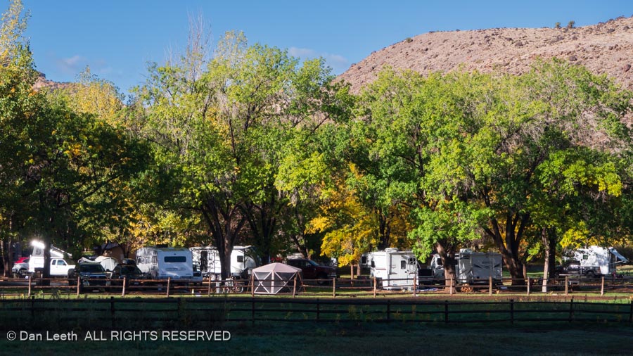
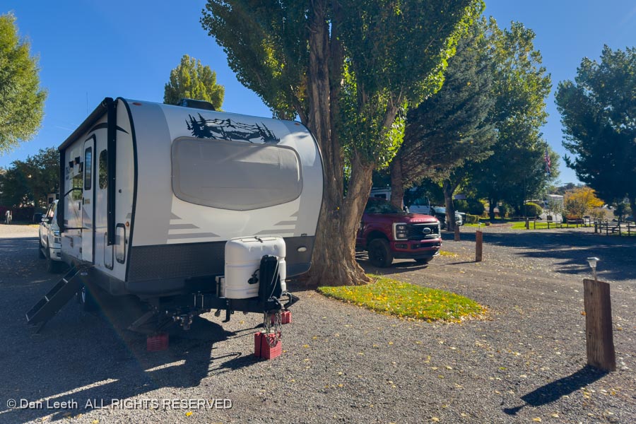
So, we did the next best thing and booked a site in a commercial RV park in nearby Torrey, Utah. It’s a nice enough campground, but as it is with most commercial RV parks, the sites are sandwiched close together.
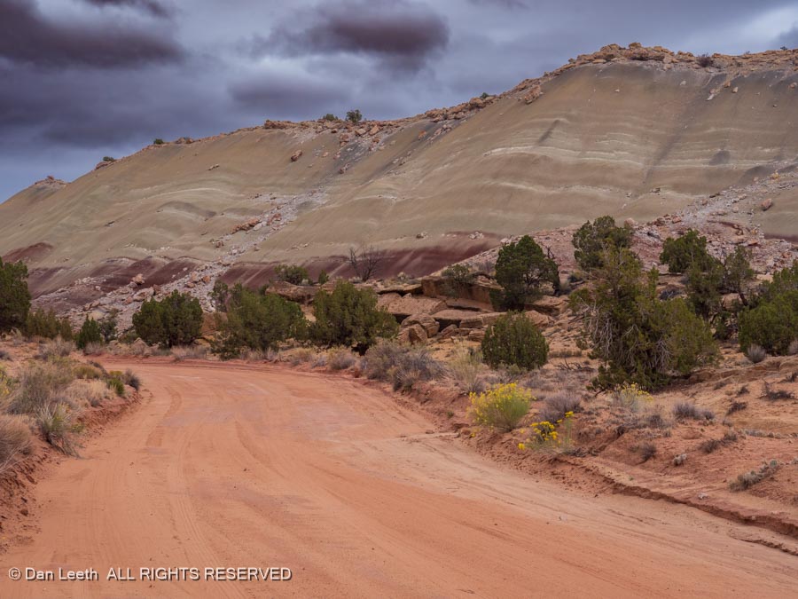
The CMC outing was to be a three-night affair. We added an extra night to give me a day to research and photograph the Notom-Bullfrog Road for a Back-of-Beyond story for Utah Life magazine.
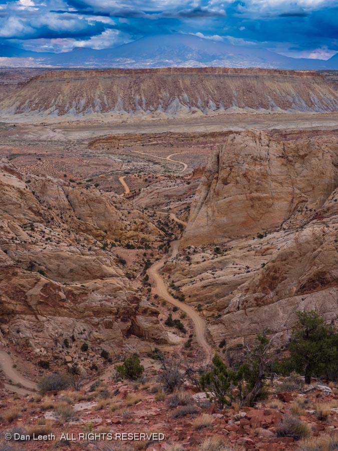
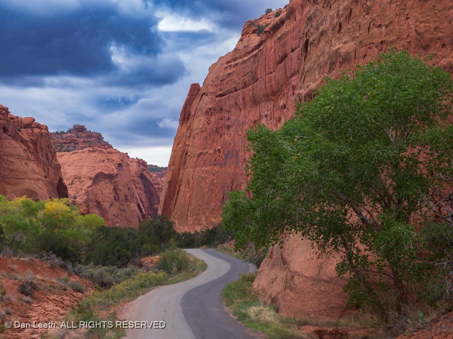
The mostly gravel road parallels a long wrinkle in the earth known as the Waterpocket Fold through the park and beyond.
We pulled into our campsite in Torrey at dusk and quickly hooked up our water and electric connections. We then checked the internet for the next day’s weather.
FLASH FLOOD WARNING it screamed at us.
I needed to think twice about my planned drive down a backcountry dirt road that crossed many, many normally dry washes. Years ago, we got stranded on the Hole in the Rock Road because of a flash flood. It was a multi-day, tuck-n-go situation trying desperately to keep the beer cooler in the shade to preserve what was left of the ice.
The morning dawned dry, so I decided to give the drive a try. I packed extra food and warm clothing into the truck and set off down the road. If it started to rain, I promised myself, I would immediately turn around and head back.
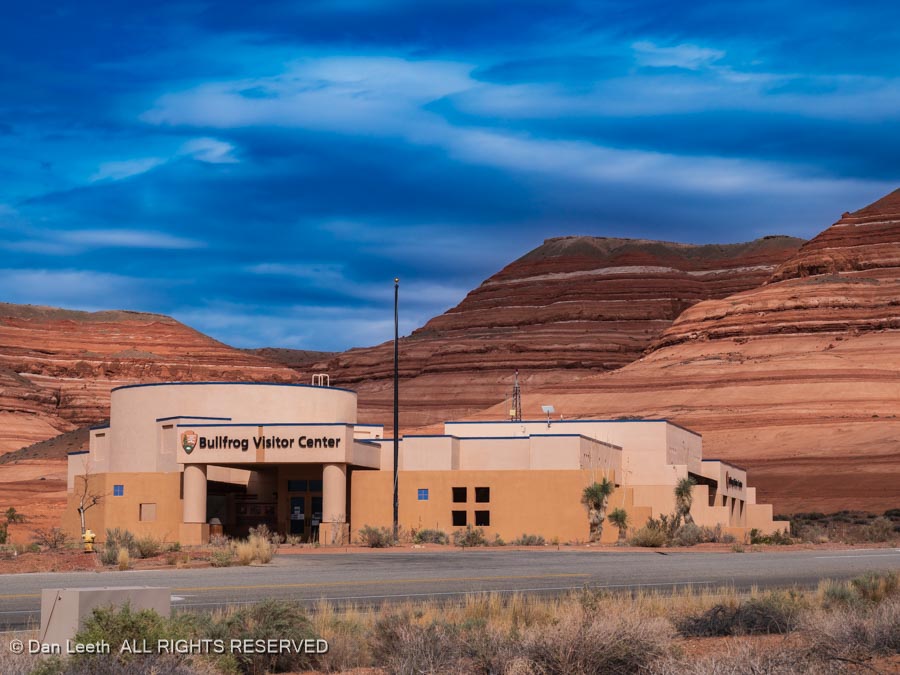
Of course, it did start to sprinkle, and of course, I continued driving. I could have bailed out at Bullfrog on the shores of Powell Reservoir…
…and taken the highway back, but I didn’t. Instead, I went with my original plan and doubled back to the Burr Trail Switchbacks and on to the little town of Boulder, Utah.
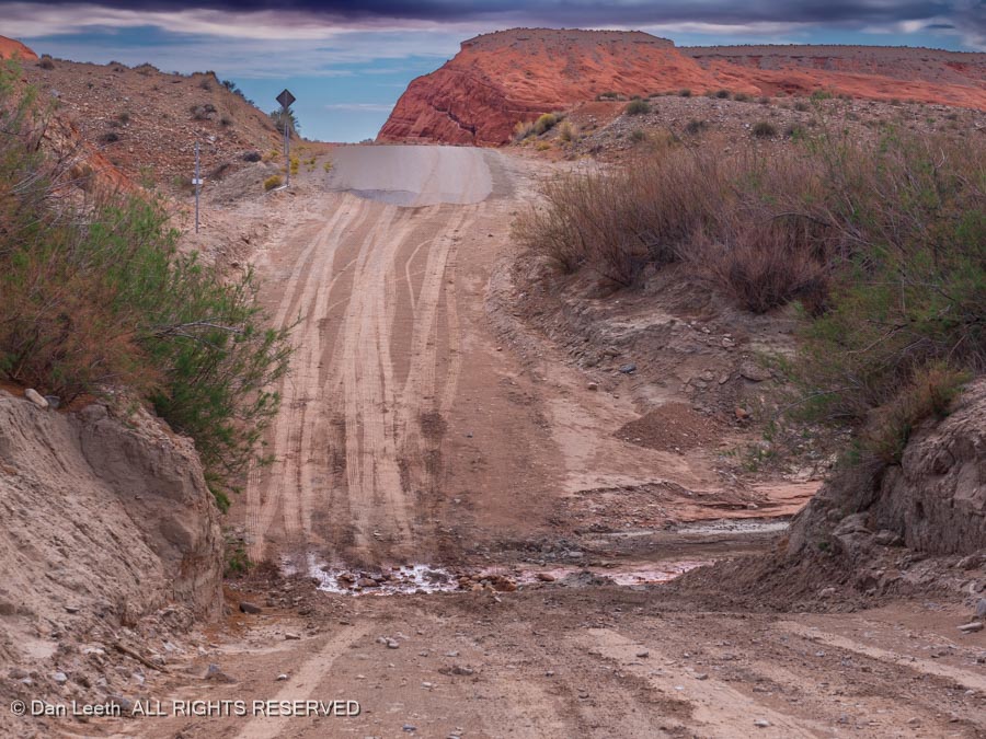
That meant I would have to once again cross the one and only truly patchy place on the Notom-Bullfrog road – a deep gully with a small stream running through. As a precaution, I went wimp and shifted into 4×4 low range. Went through like a champ.
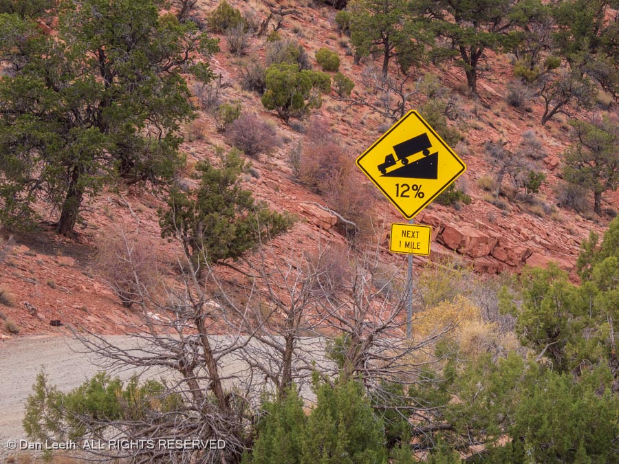
I next had to climb the Burr Trail Switchbacks that zigzag up the cliffs…
…with a 12% grade. It’s steep and there are no guardrails. This is not the place for flatlanders to drive.
Years ago, the county was going to pave the Burr Trail all the way from Boulder to Bullfrog, including the miles in the park. Apparently, the National Park Service said, “Hell no, you’re not going to pave in the park!” Supposedly the county had to remove a bit of pavement they had poured onto park property. Once I left the park on the Burr Trail, I had pavement all the way.
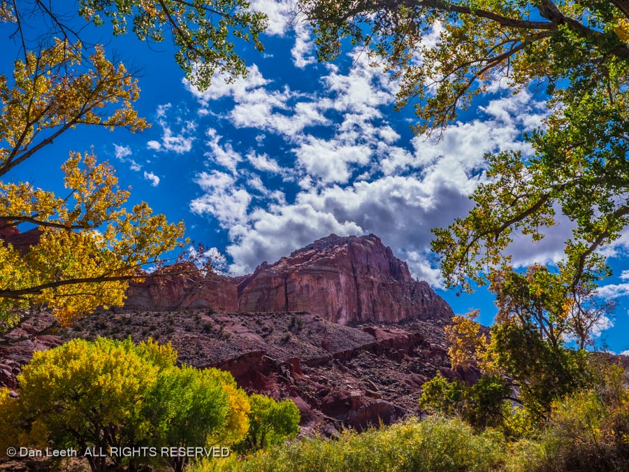
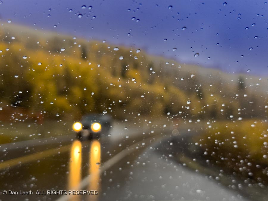
The upper Burr Trail offered a beautiful drive with redrock cliffs and the golden cottonwoods of autumn. In Boulder, I turned onto Utah Highway 12 and followed it back to our campground in Torrey. It was here that the rain came down with a vengeance. I’m guessing that the slot canyons we were going to hike on the following days will be cancelled.
It rained through the night with drops of water drumbeating on the trailer roof. I felt sorry for anyone camping in a tent. With the rain continuing off and on through the morning, other of our CMC friends went for a hike. We decided to just stay warm and dry in our trailer. Tomorrow, we hike.
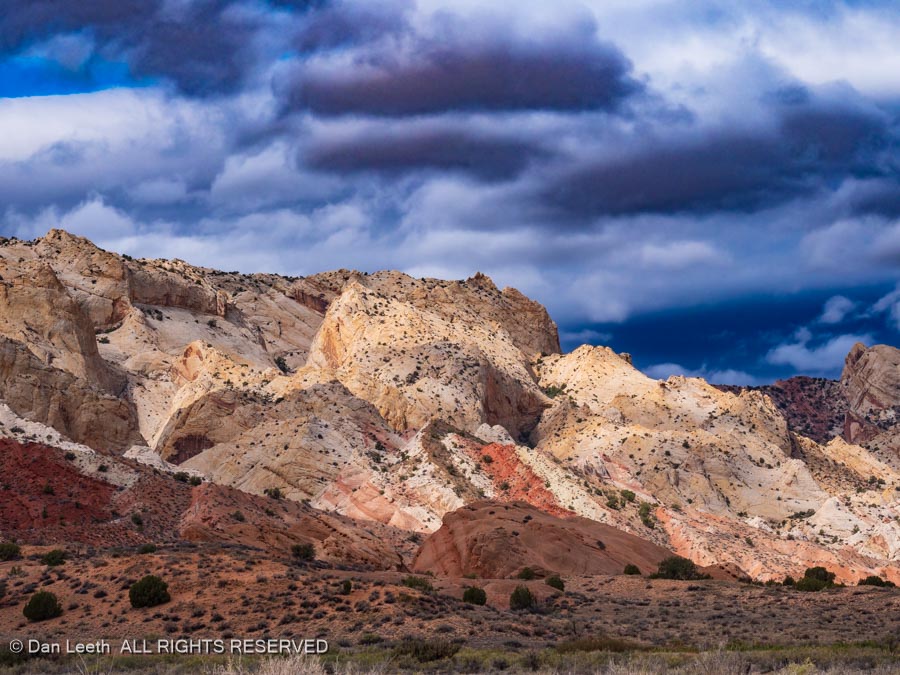
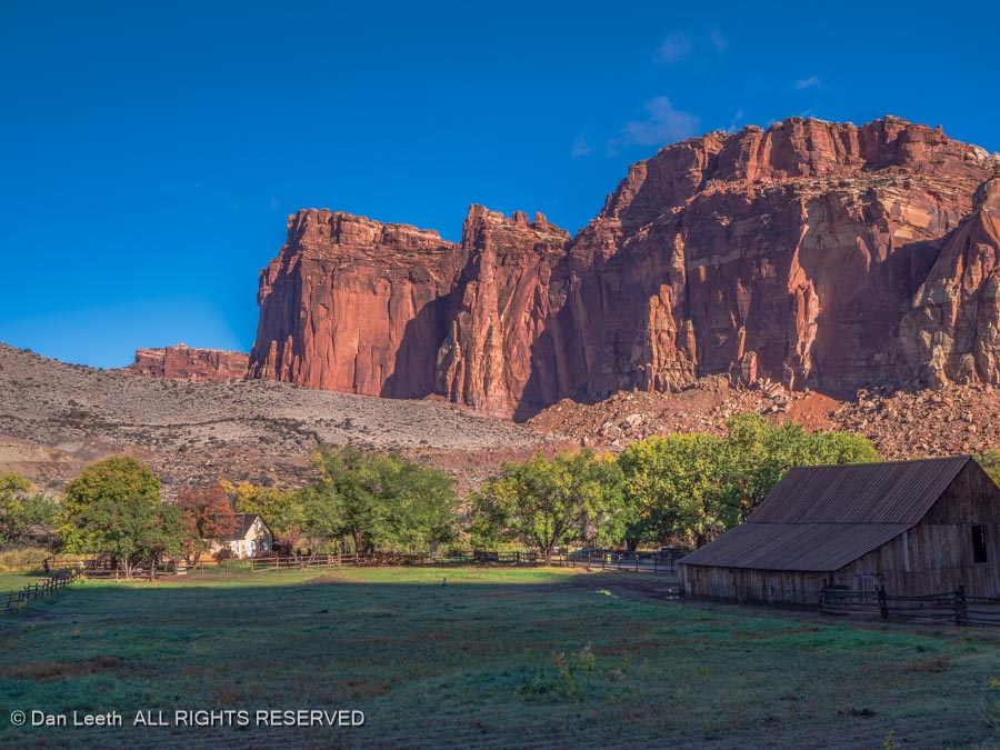
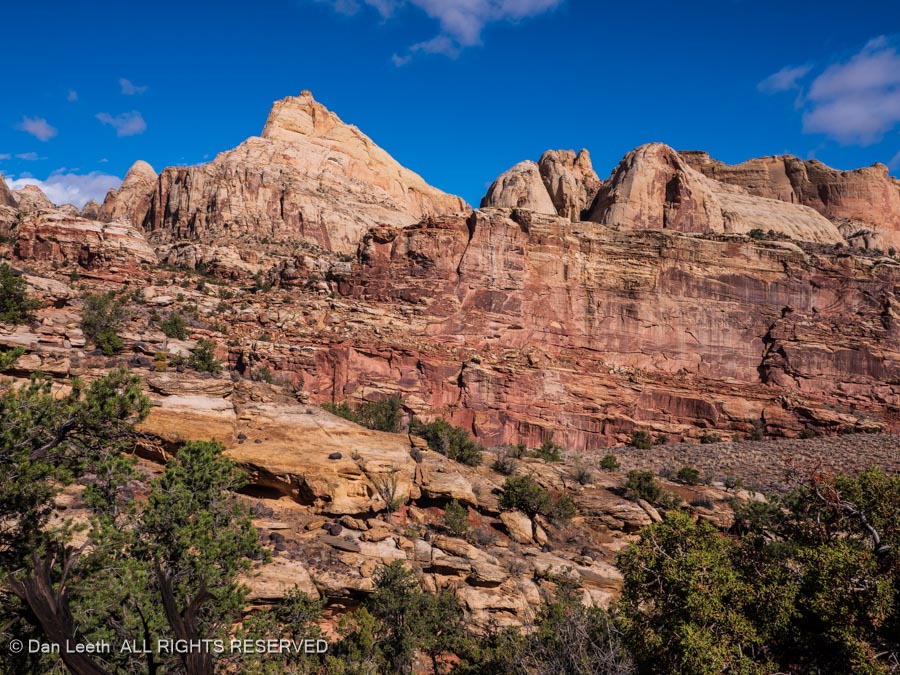
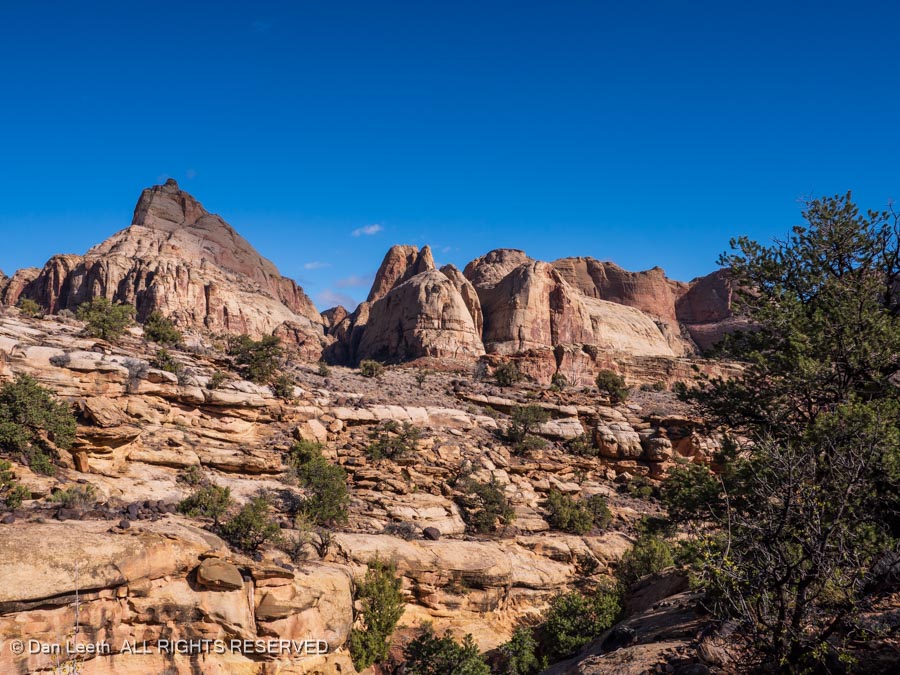
With the park’s Scenic Drive closed due to flooding, all 14 of us CMC hikers set out on the Cohab Trail, which begins with views of the Gifford Homestead below.
The route wanders by cliffs capped with domes of white rock.
The lighting was nice, and I lingered back taking photos.
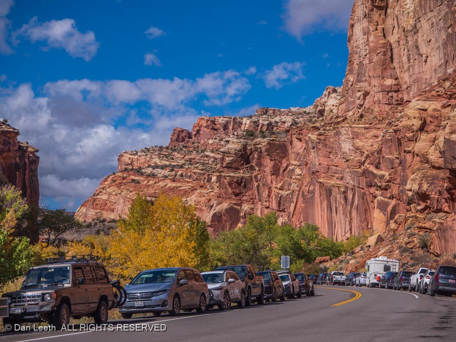
About halfway along the trail, another trail breaks off and heads for Cassidy Arch, which was our group’s goal. Dianne and I had done that hike before, so we abandoned the group and continued down the Cohab Trail to its exit along Highway 24 across from the Hickman Bridge Trailhead.
We originally thought about hiking to Hickman, but when we saw the stuffed parking lot and cars parked along the highway for a quarter mile in each direction, we decided to avoid the crowd, We would just walk along the highway back to our truck, admiring sites and sights along the way.
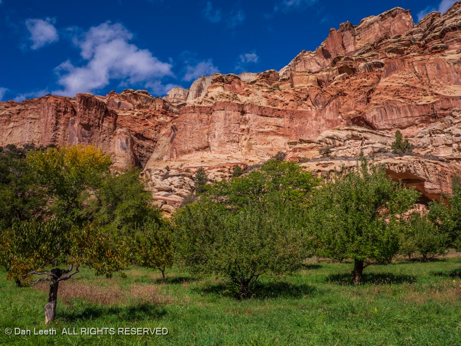
We passed orchards…
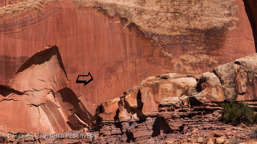
…and walked the boardwalk past Capitol Reef’s somewhat unimpressive petroglyph panels.
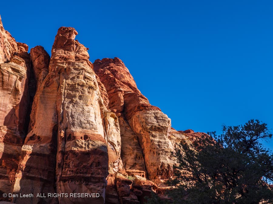
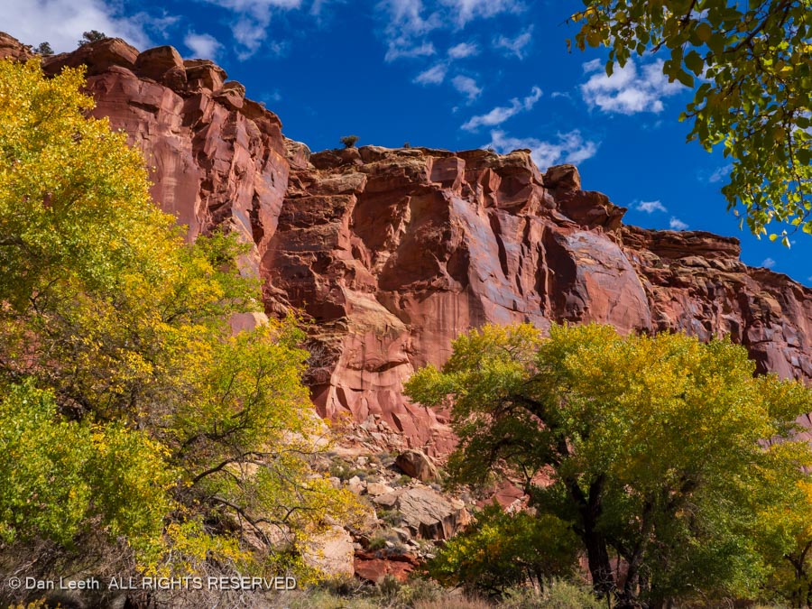
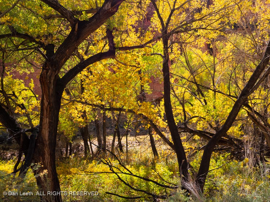
Mostly we just looked around, enjoying the beauty of towering redrock walls…
…skirted with autumn’s golden leaves.
Tomorrow, we will pack up and make the long (56 miles) drive to Hanksville for a three-night stay at Duke’s.
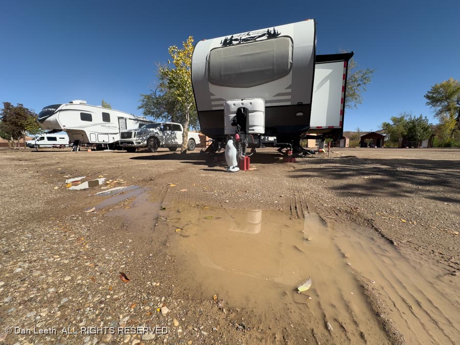
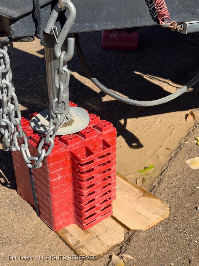
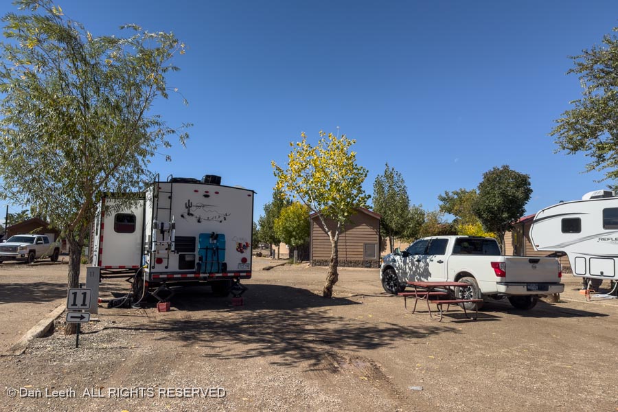
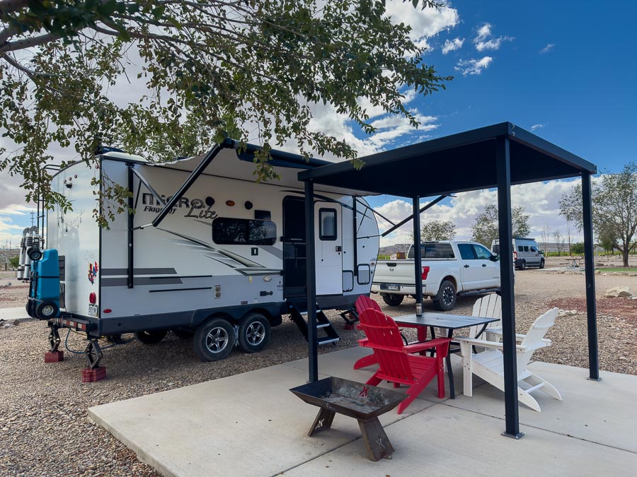
Of course, it rained through the night, which was no issue in Torrey. It did present a few problems when we set up in the mud at Duke’s Steakhouse and RV Park in Hanksville.
Dianne was all aflutter, but her wonderful husband calmed her down and with the ingenious use of boards across the mud, we made things work.
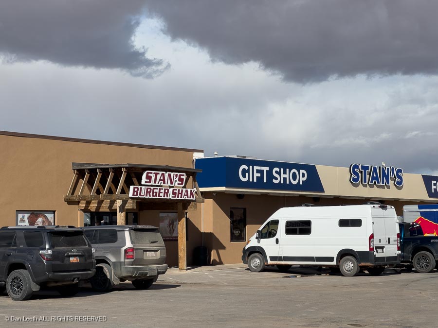
To make it up to my wonderful wife, I took her to lunch at Stan’s Burger Shack, Dianne’s favorite restaurant in the world (at least the restaurant she always wants to go for her birthday dinner).
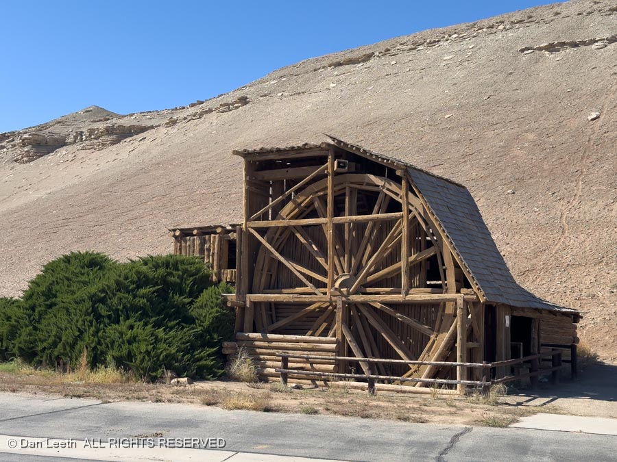
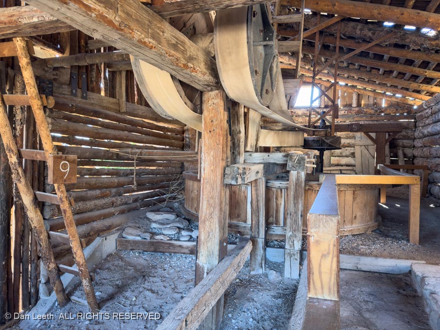
We picked up a brochure on things to do in Hanksville, one of which was to visit the historic Wolverton Mill, now located behind the local BLM office.
The mill was originally built in the nearby Henry Mountains over a century ago by Edwin Thatcher Wolverton who was hoping to rediscover a lost Spanish gold mine up there. The mill has since been dismantled and moved to Hanksville.
Back at our slowly drying out, double-wide campsite…
…where we elected to kick back and enjoy an afternoon off. Hopefully, tomorrow we can drive the backroads to several of the area’s scenic sites.
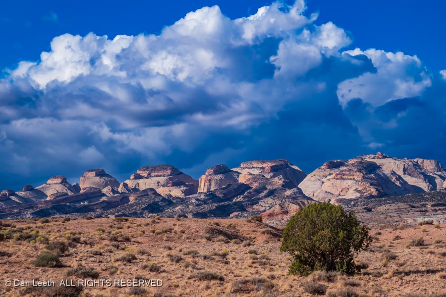
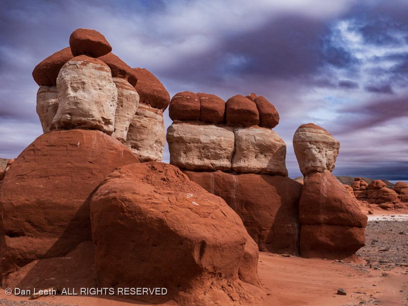
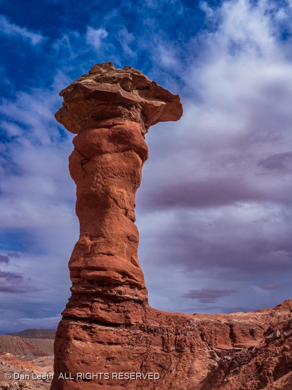
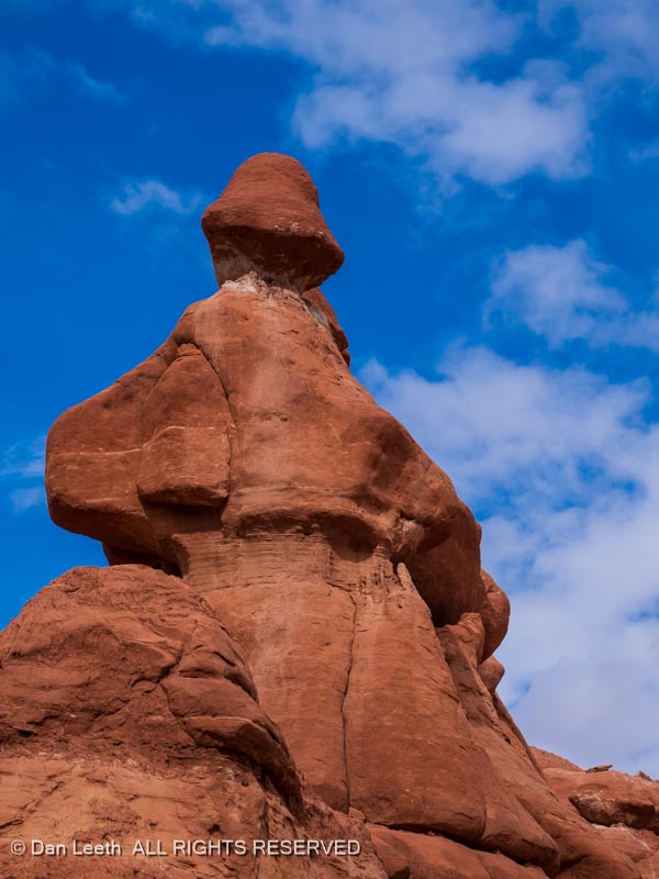
And that’s exactly what we did, but not the sites we had originally planned to visit. Our first stop was to a small geological site known as Little Egypt.
We walked around for several hours, cameras in hand, and photographed many of the formations out here.
This area is barely on the map, and to keep it that way, I won’t tell you where it’s located.
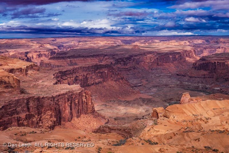
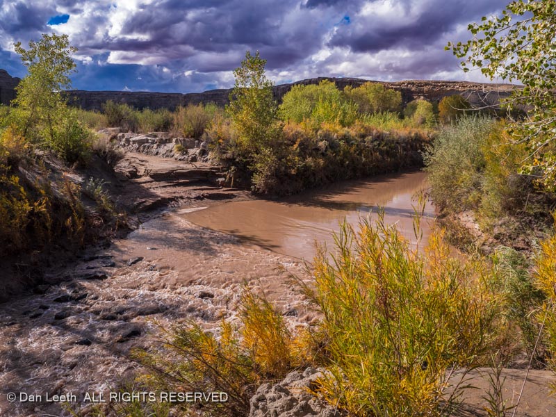
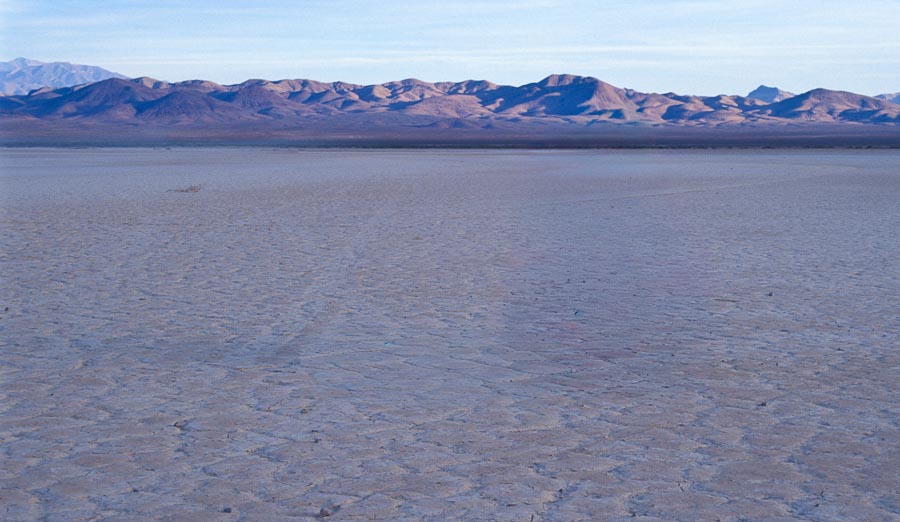
We next drove out to Burr Point, which barely showed up on our map. No, this is not the Grand Canyon. It’s the canyon of the Dirty Devil River north of Powell Reservoir.
Getting here required driving ten miles on badly washboarded roads, but it was worth it.
With the skies darkening, we headed back to the pavement…
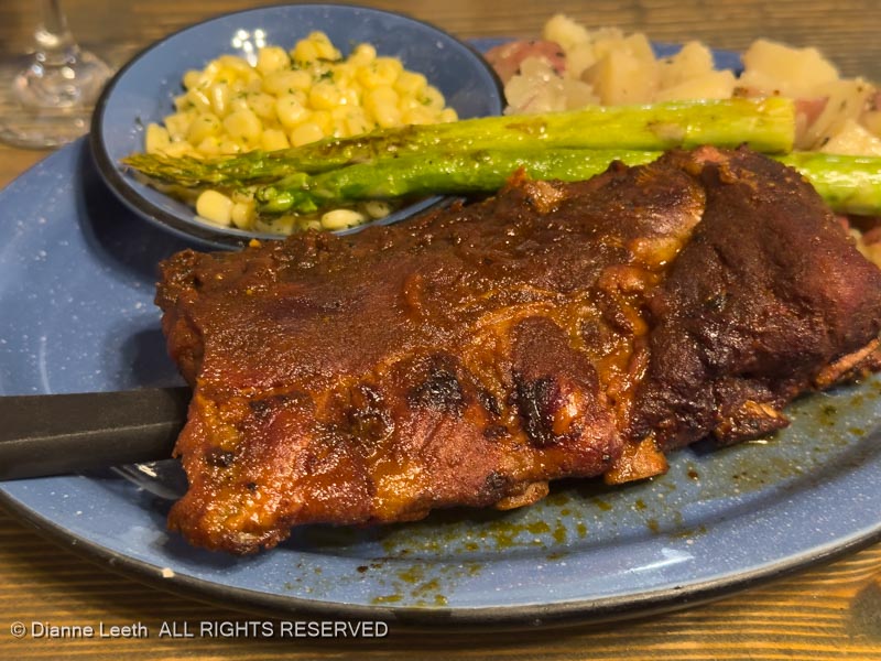
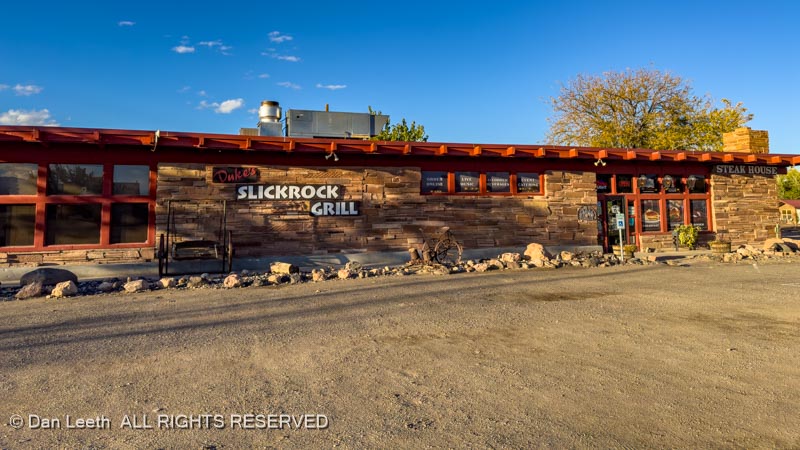
…and on to Duke’s Steakhouse…
…where I had a steak and Dianne had ribs.
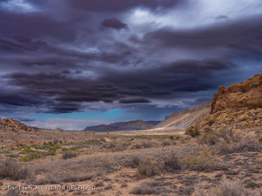
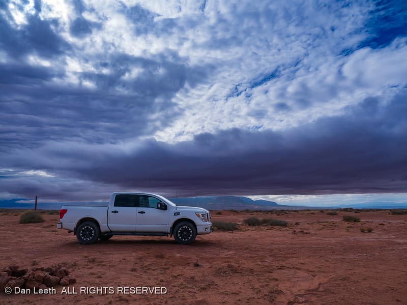
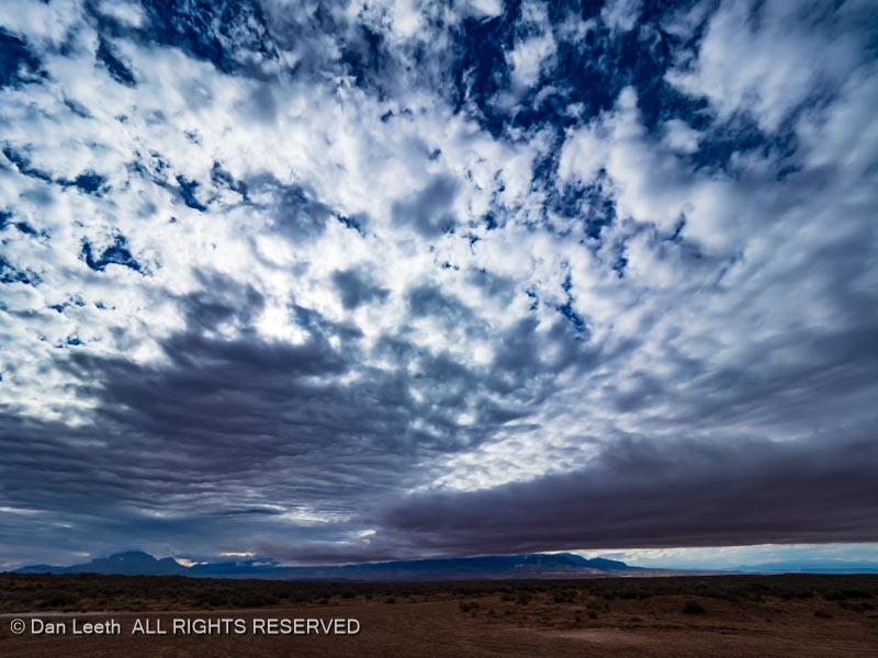
Hopefully, tomorrow’s skies won’t look like this.
The mountains under these clouds were one of our original destinations, but I think we’ll make other plans.
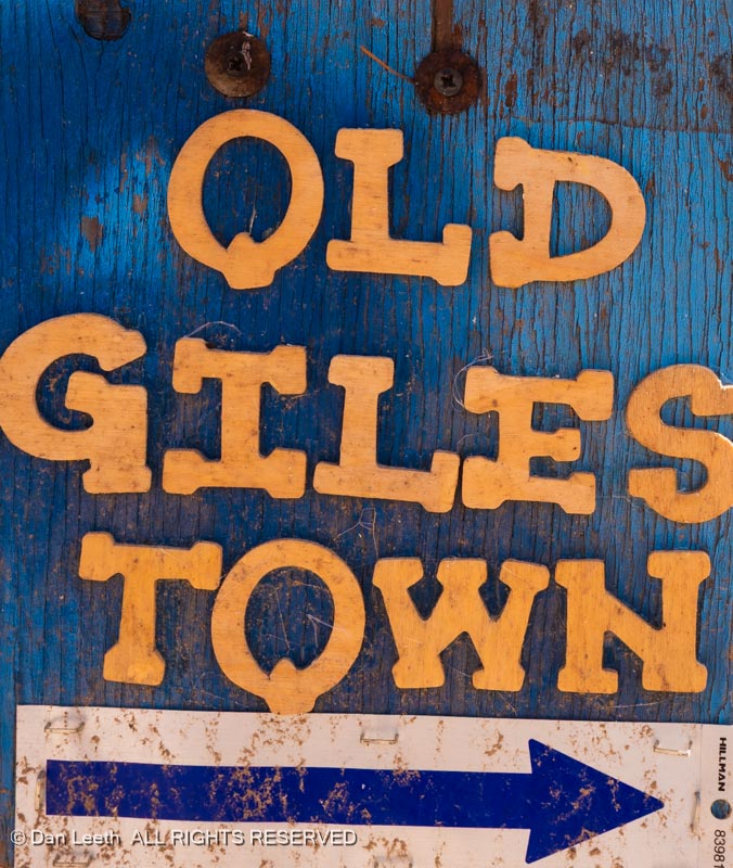
Tuesday was another lazy day in the trailer. Dianne was working on Dianne things while I did all the serious relaxing. A bit after midday, we set out on our mission to photograph the old town of Giles, named after a former LDS bishop who could have been one of Dianne’s ancestors (Giles is her maiden name) and she hails from long abandoned Mormon stock.
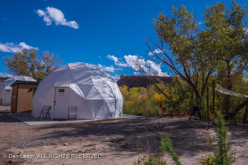
The turnoff to Giles now accesses the Blue Valley Domes, a collection of geodesic domes available for folks who want to bunk in something a bit more unusual.
While they look neat, they’re a bit pricey and sitting right off the highway, they’ll be noisier and more public than I’d like. Maybe we’ll do them next year.
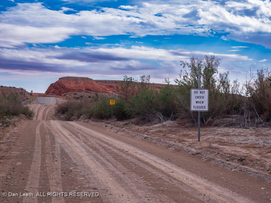
The long abandoned town of Giles was mostly on the other side of the river, and the road across was definitely washed out.
Lacking anything better to do, we topped up with gasoline, headed back to our cow (Cabin on Wheels), and discussed what to do about dinner. The choice was to either have leftovers or walk 100 yards over to Duke’s Slickrock Grill.
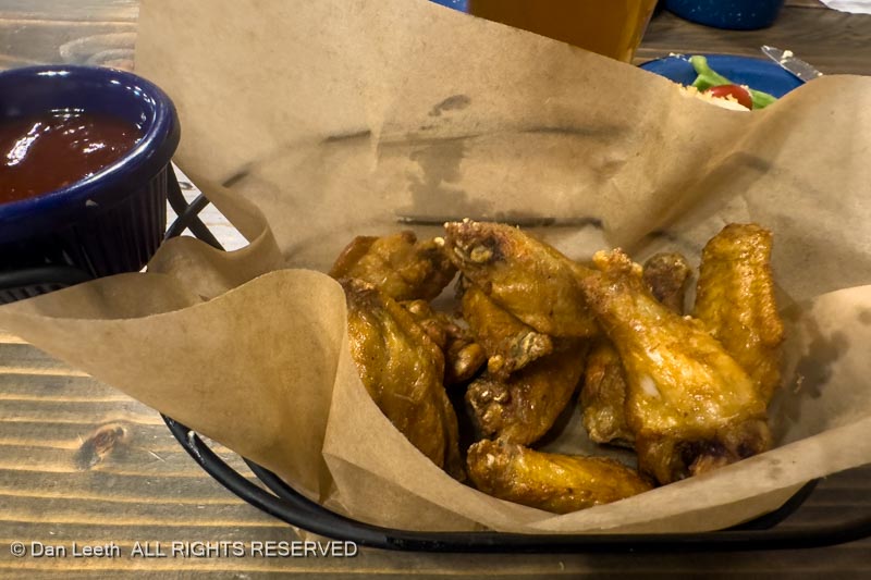
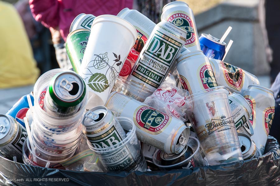
Well, I had a Rooster Cogburn order of chicken wings (all the dishes at Duke’s are named after John Wayne movies) and a Dead Horse Amber beer imported all the way from Moab.
[Long the land of 3.2 beer, Utah restaurants can now serve beer that’s 5% alcohol by volume and actually has flavor.]
Definitely a tasty treat. And the wings were pretty good, too.
On Wednesday, it was time to head home, with our planned three-night stay in Green River reduced to a one-night stopover. We booked a nice patio site at the Green River KOA…
…and headed over to Ray’s Tavern for dinner.
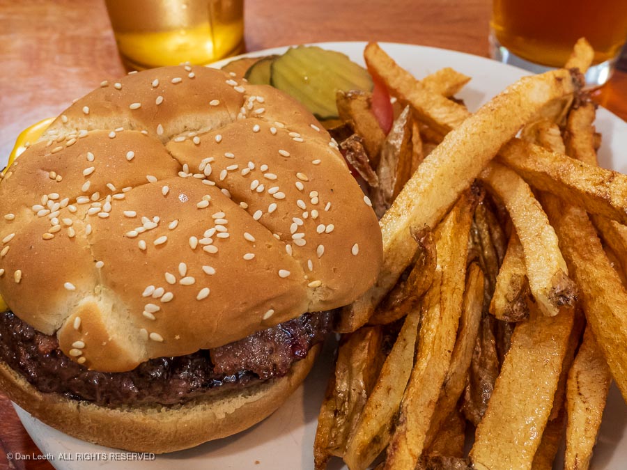
Normally we order their bacon cheeseburgers…
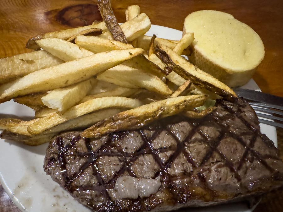
…with hand-cut fries, which are fantastic. This time, however, I decided to try a steak.
Unfortunately, the only wine Ray’s serves comes in a box, so I had my New York Cut steak with a beer.
Still, pretty damn nice.
The next morning, we made the 90-mile drive back to our little farming village in the Grand Valley of Colorado.
In a week, Dianne takes off for a three-night Snake Oil sales event in Dallas.
[Okay. It’s not really snake oil. It’s a collection of scientifically proven activation products that will improve your health and well being. Tests have shown that people who do not take these products will eventually die, so get with her immediately to secure any and all of these valuable products. Our trip to Mexico lies in the balance.]
The day she comes back from Dallas, we depart for Death Valley…
…and then on to western Nevada…
…on what was originally going to be the second half of this trip.
We’ll be there for her dad’s 100th birthday celebration…