Our first day’s drive was from Fruita, Colorado, to Richfield, Utah, on Interstate 70. It’s a route we’ve taken numerous times over the 38 years we’ve lived in Colorado. The day was sunny, the roads were dry and the speed limit once we reached the Utah border (19 miles from home) was 80 mph.
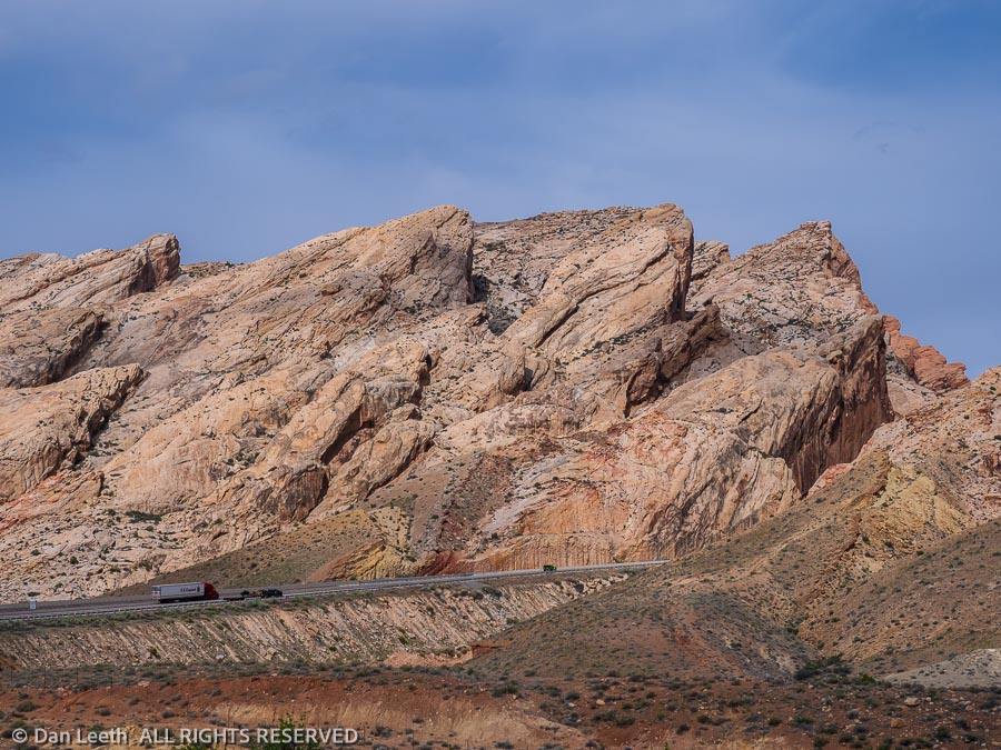
The stretch through the San Rafael Swell west of Green River is one of the prettiest stretches of interstate highway in the West.
We spent the night in Richfield at one of the nicer Super 8 motels around. After the typical Super 8 waffle breakfast the next morning, we hit the road.
There are two ways to get to Zion from here. One is to continue down I-70 to I-15 and enter the park from the west. The other is to take the more scenic U.S. Highway 89 route and enter the park from the east.
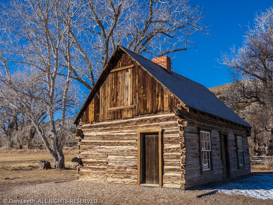
We opted for the scenic alternative, with a stop at Butch Cassidy’s boyhood home along the way. Lunch was going to be at the Thunderbird Lodge in Mt. Carmel Junction, famous for their Ho-made pies, but they were closed along with most other places in town.
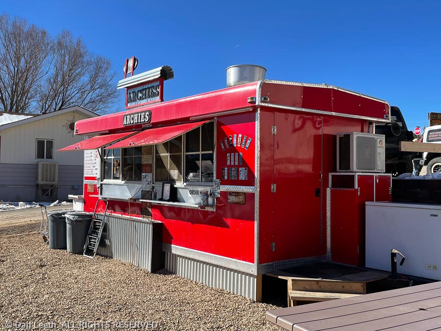
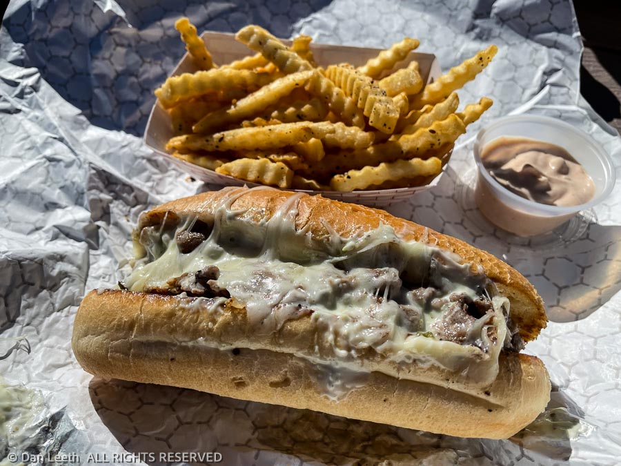
We backtracked a few miles to Archies Food to Die For, an off-the-road food trailer that featured delicious but artery-clogging Utah Philly sandwiches.
Returning to Mt. Carmel Junction, we turned onto Utah Highway 9. Thirteen miles later, we reached the park boundary.
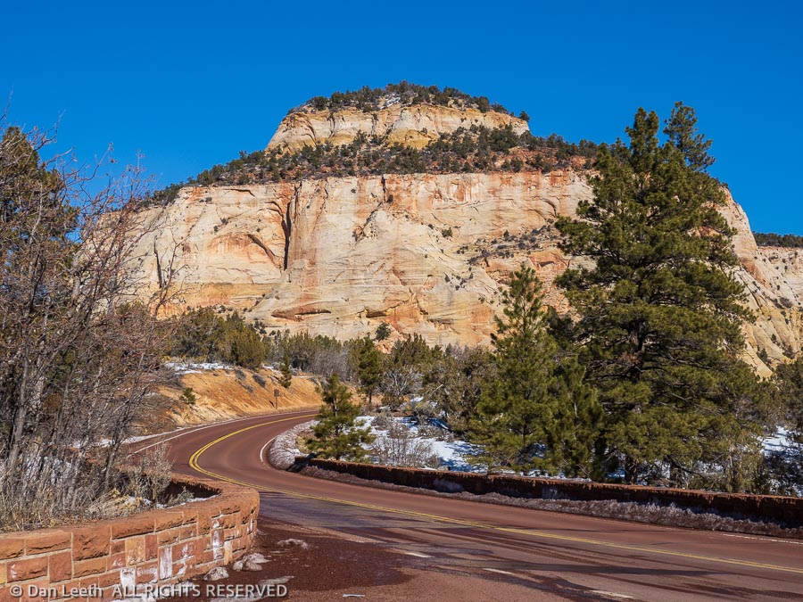
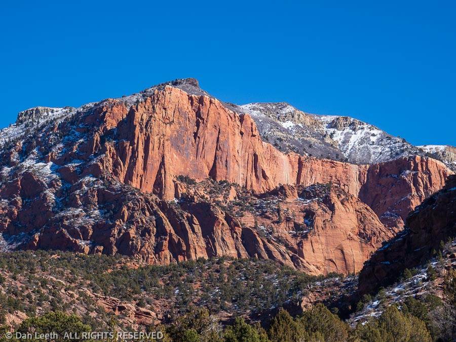
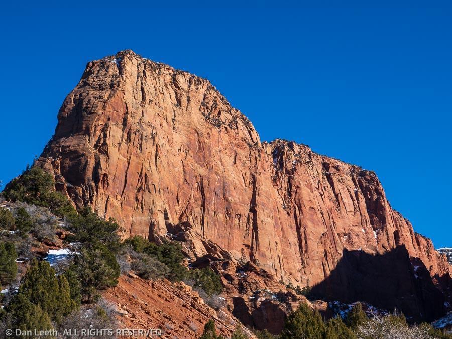
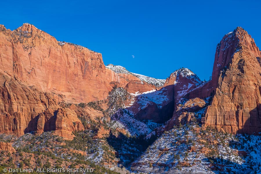
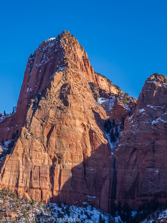
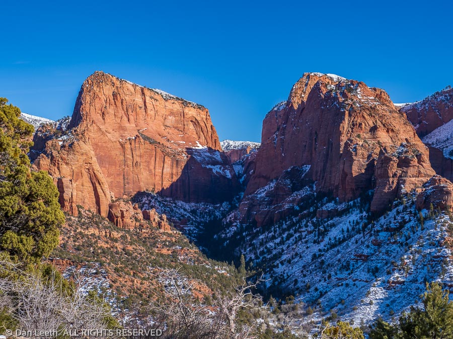
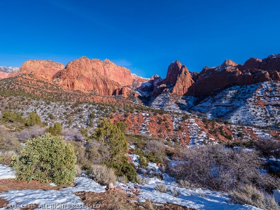
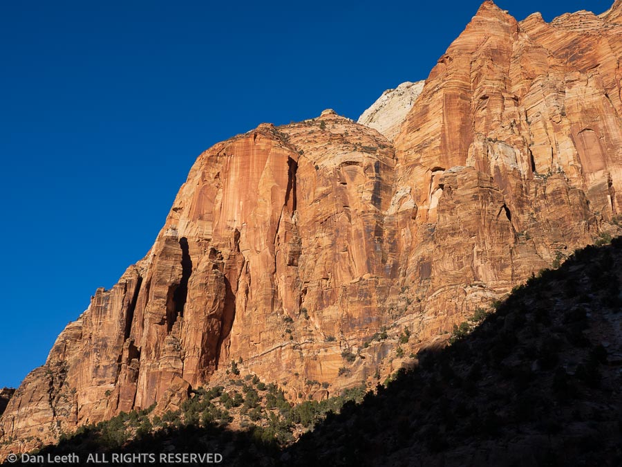
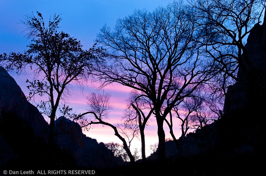
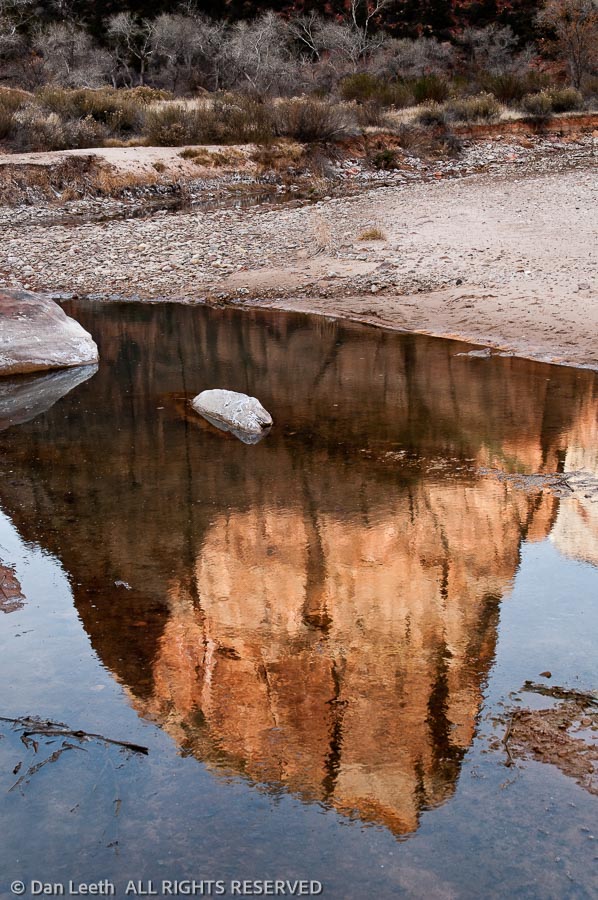
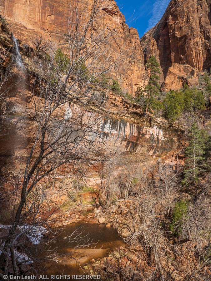
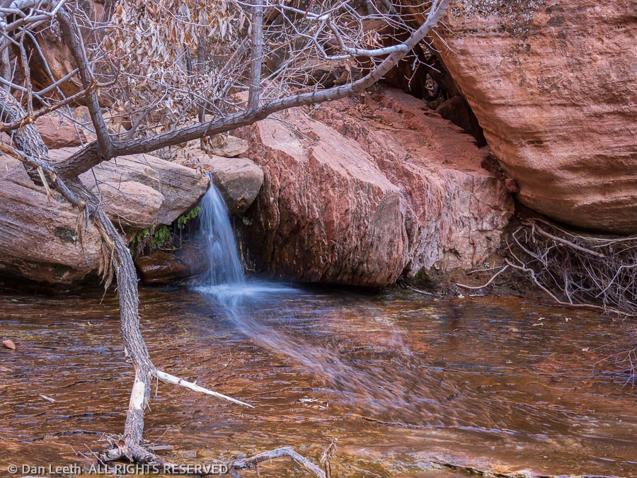
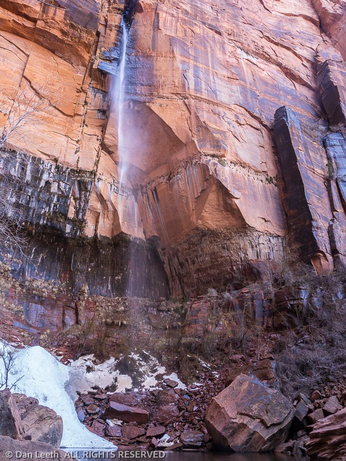
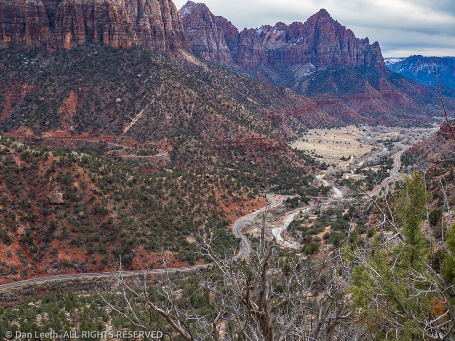
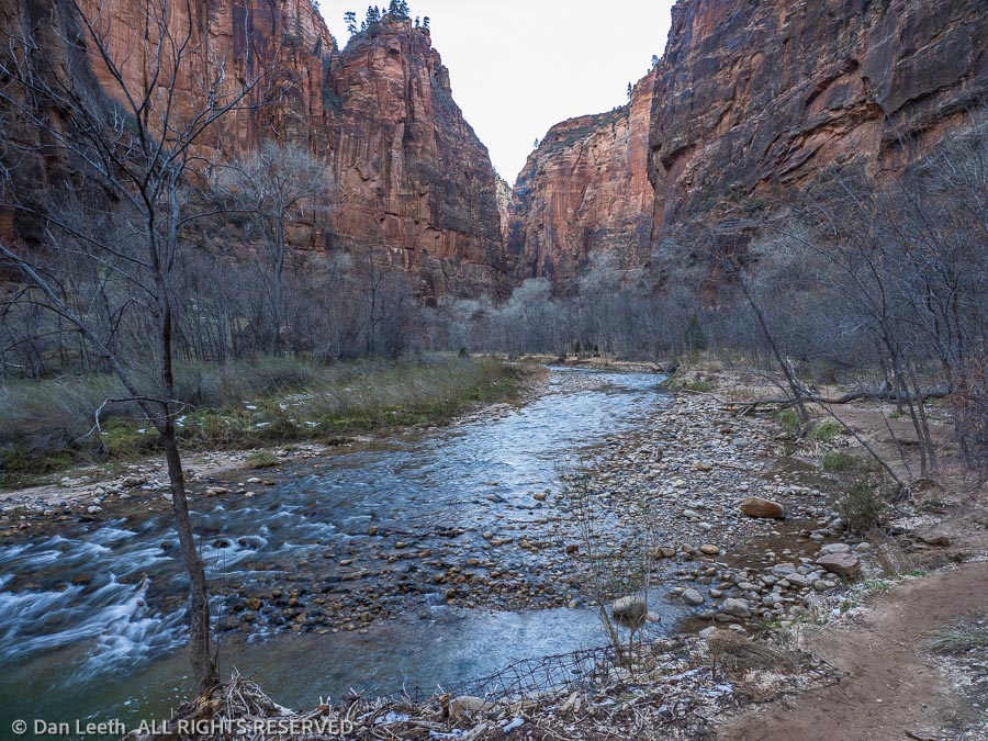
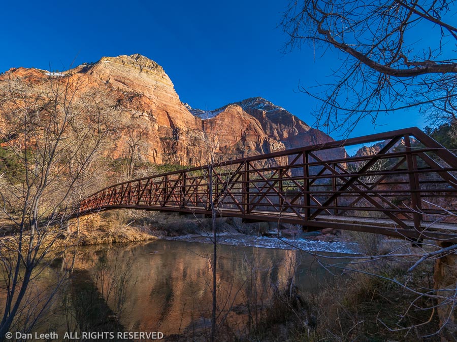
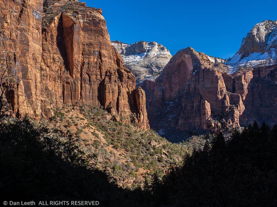
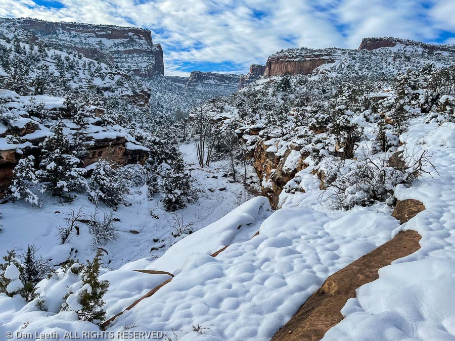
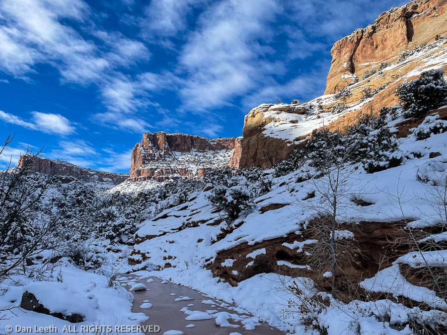
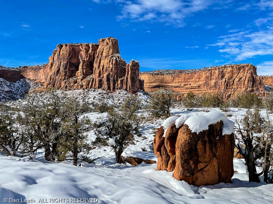
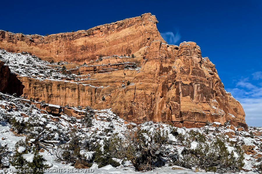
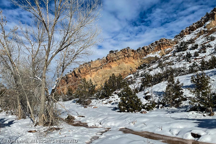
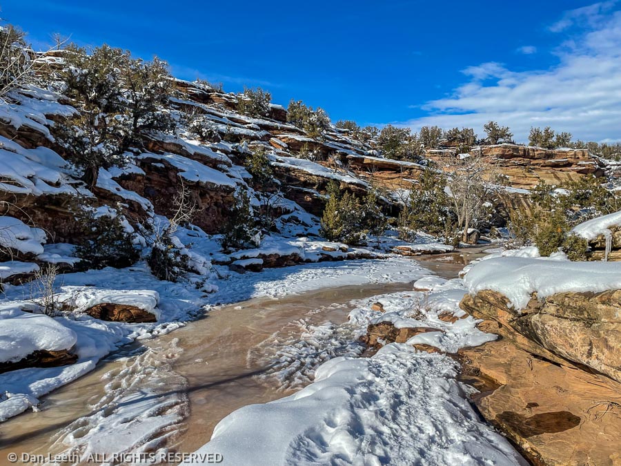
The drive through this part of the park was breathtaking. The sky was blue, the air clear and snow still garnished the sandstone.
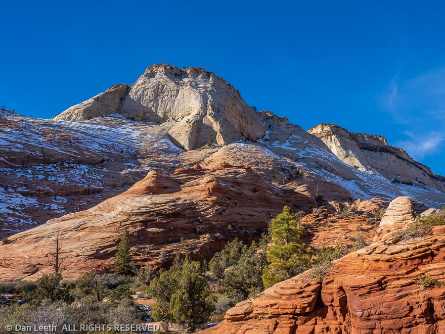
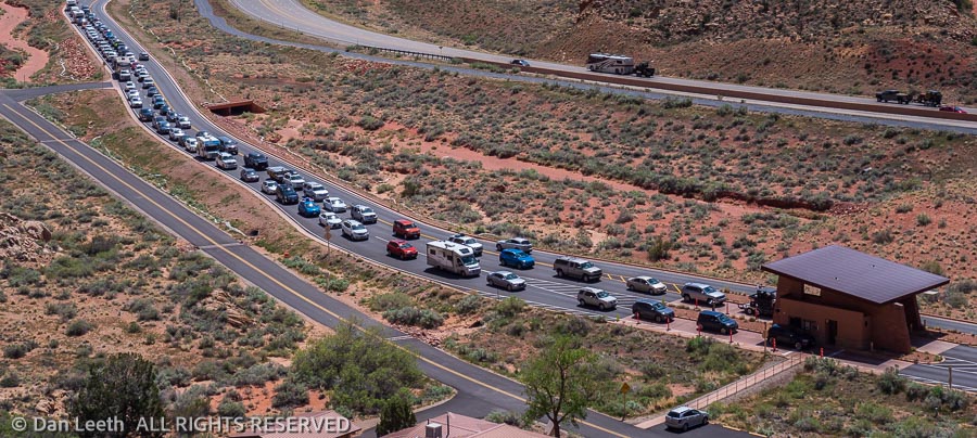
With traffic light, we stopped for photos at virtually every turnout on the route, most of which we had entirely to ourselves.
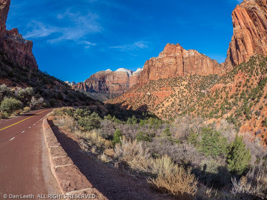
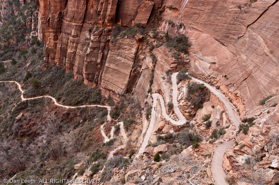
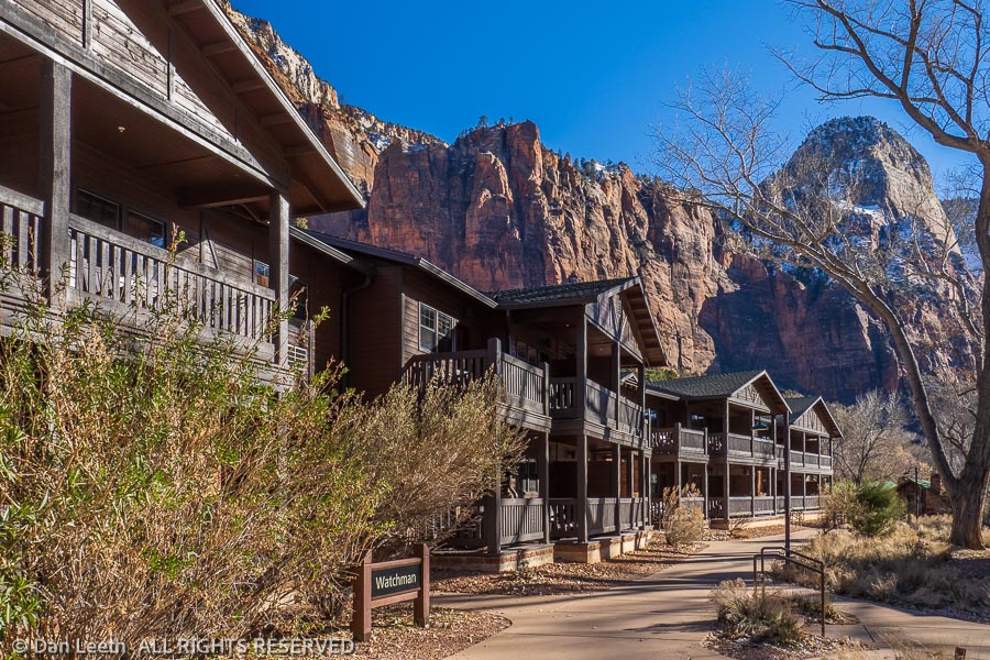
A few hundred images later, we went through the mile-long Zion tunnel, twisted down the switchbacks to river level and turned up the Virgin River Canyon toward Zion Park Lodge.
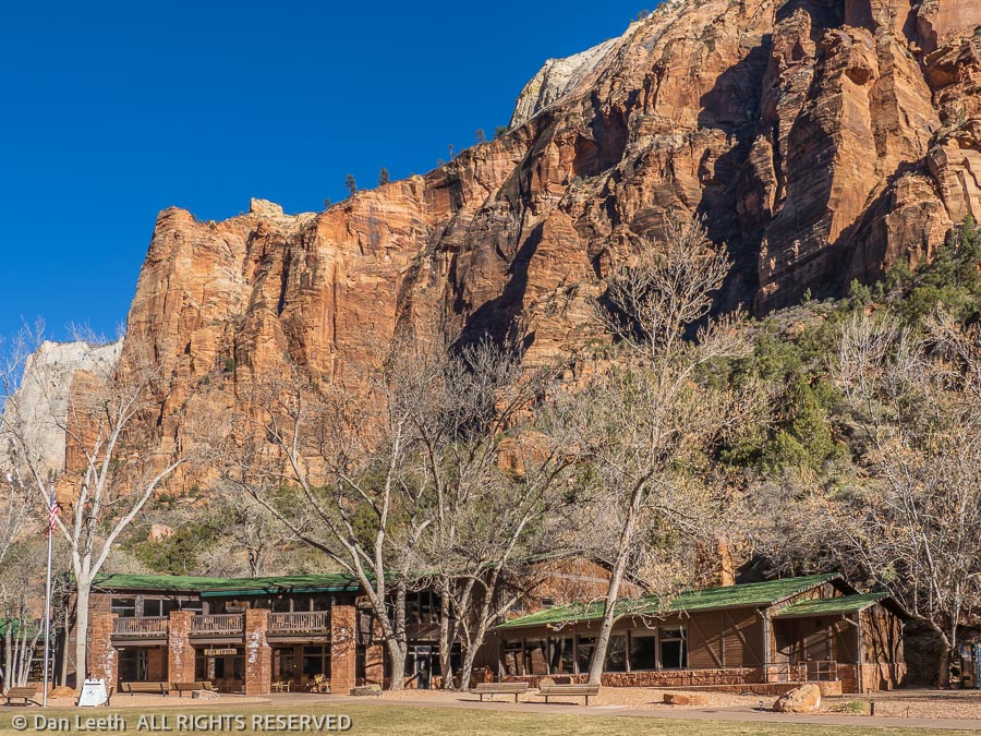
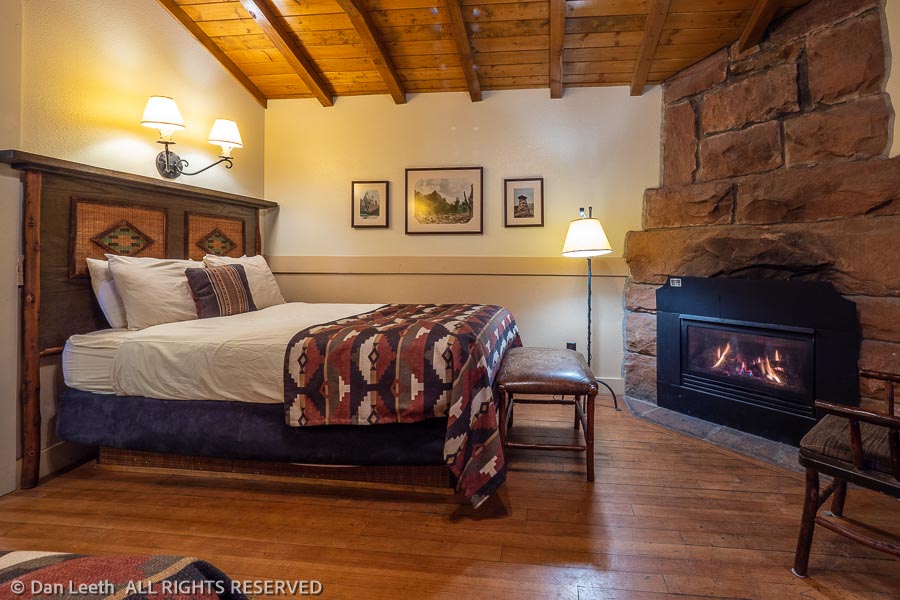
Our cabin was part of a fourplex, one of the deluxe cabins back when they were built in the 1920s. It had two double beds, a writing desk, a couple of chairs and a gas-log insert in the formerly wood-burning fireplace. Flames were already blazing when we entered.
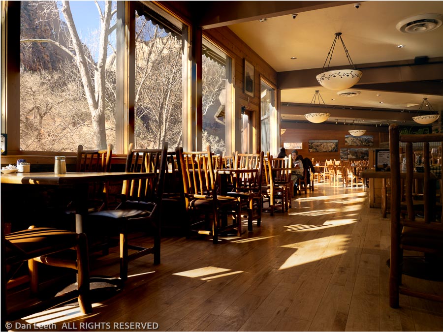
Our first night’s dinner was at the lodge’s Red Rocks Grill. Because of Covid, masks are required to enter all federal buildings, which includes the lodge. The menu was short, and all orders were taken and paid for downstairs. We were given a number card to display on our table in the upstairs dining room. The system was efficient, but we missed the personal interaction one gets when dealing with a conventional waitstaff.
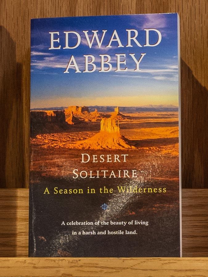
Back in the room, we retired by the fire with glasses of wine, which we personally imported from Colorado. With no TV, no cell coverage and no internet, we would have time to rest, relax and just sit back and read. Scrolling through my Kindle, I decided this would be a perfect time to once again reread “Desert Solitaire” by Ed Abbey.