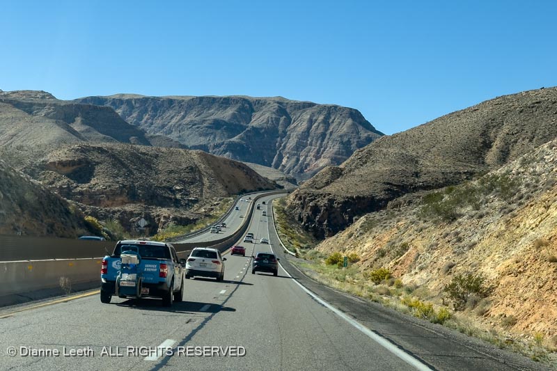
Our route home took us down to Las Vegas where we caught Interstate 15 and headed north to Interstate 70. It should have been a nice, 80 mph jaunt with a stopover at the Super 8 in Richfield.
But it wasn’t.
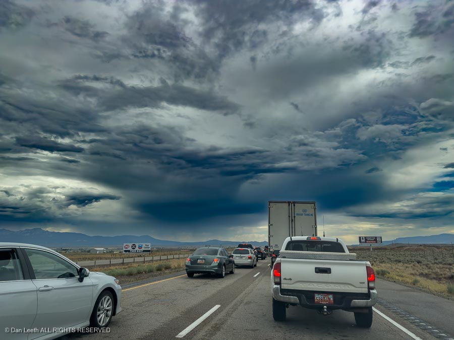
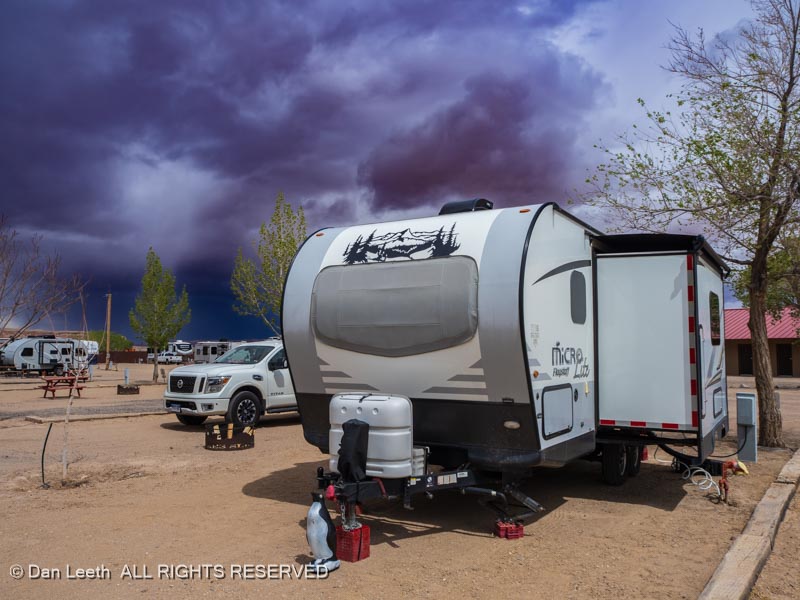
Flash flooding around Cedar City closed the interstate and we became stuck in a long traffic jam. We were finally able to exit, turn around and head over the hills to U.S. 89, which we followed north to I-70 and our Super 8 lodging.
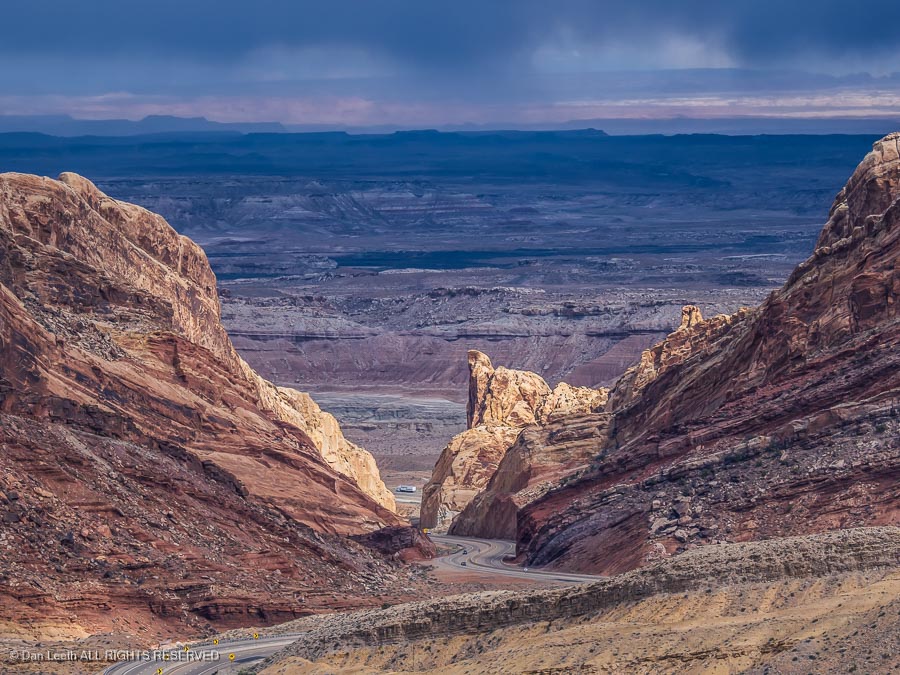
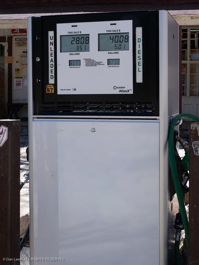
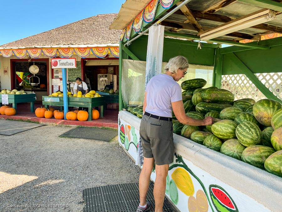
The next day, we continued east, dropping into Green River for gas…
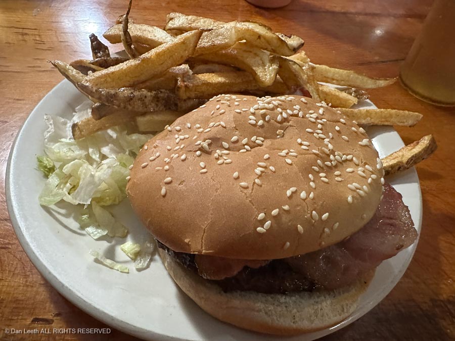
…grub…
…and, of course, melons.
Our home in Fruita lay an uneventful 90 miles away.
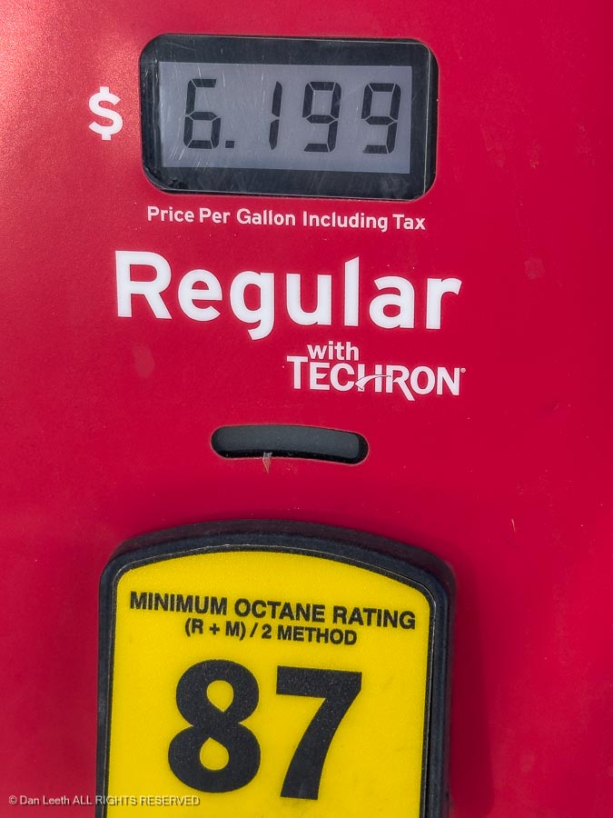
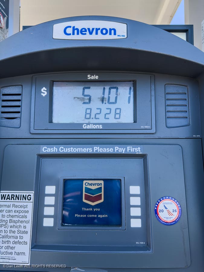
After two nights with the in-laws, I loaded suitcases and wife into the car, filled the tank with fuel at California prices…
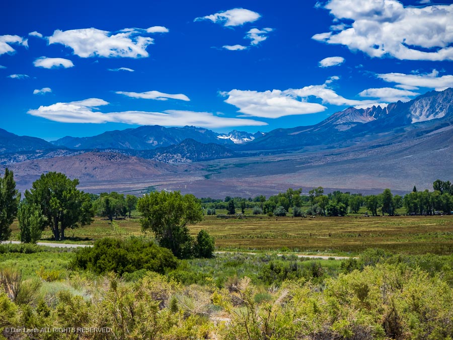
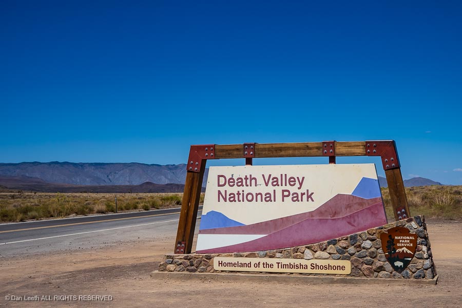
…and we set off for Death Valley. Our route would take us down U.S. 395 along the eastern escarpment of the Sierra Nevada. This is a drive I enjoyed many, many times while living in Reno.
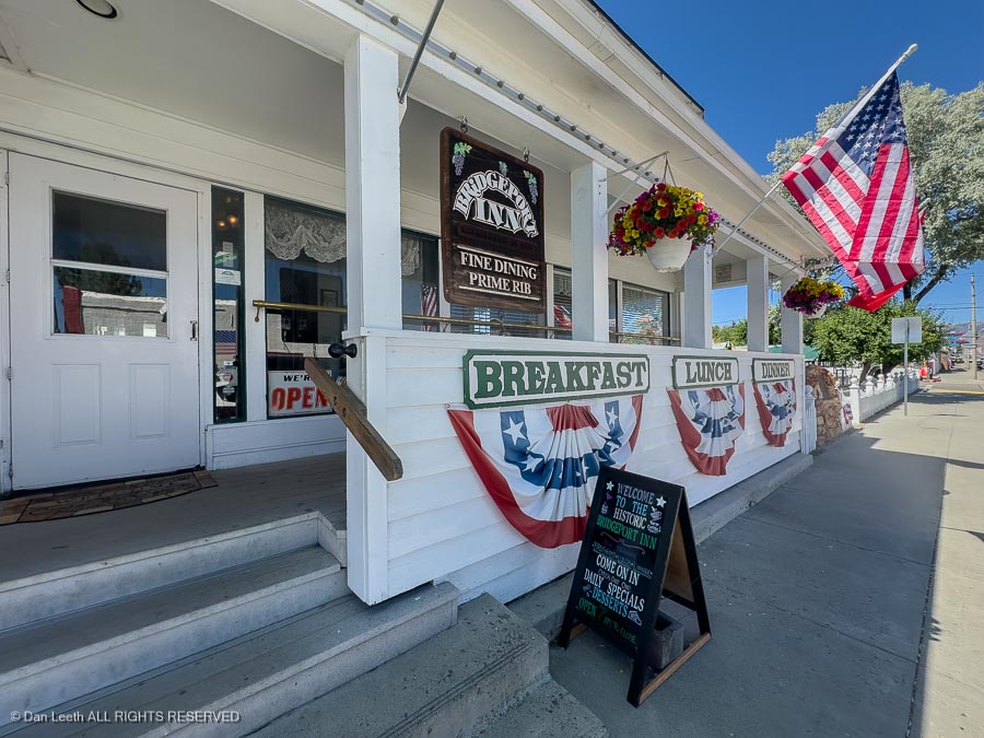
We stopped for breakfast in the little town of Bridgeport…
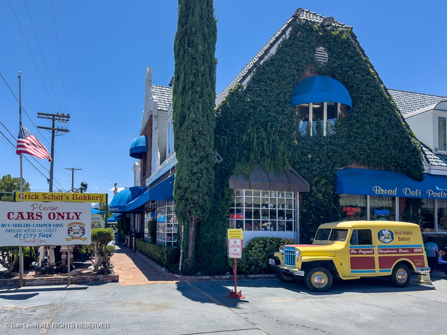
…and as we always do, made an onion-cheese bread stop at Schat’s Bakery in Bishop.
Unfortunately, they no longer offer onion-cheese bread, so we settled for a loaf of sourdough and a couple onion-free, asiago cheese loaves.
Before long, we arrived at the entrance to Death Valley National Park.
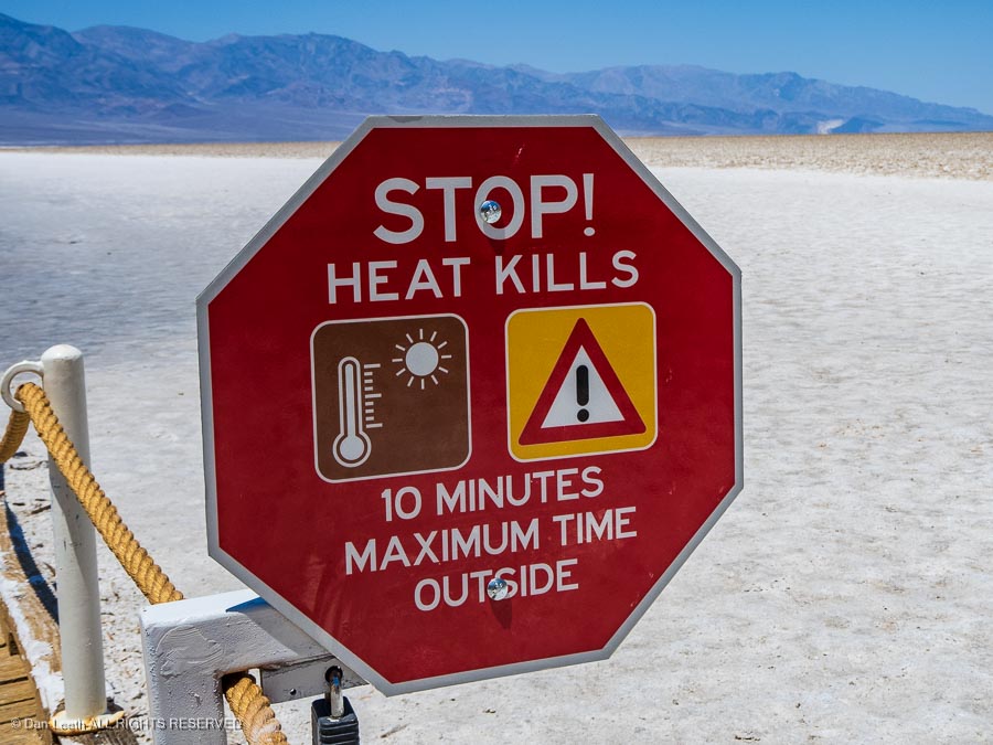
To mitigate danger, we made a rehydration stop at the Stovepipe Wells outpost…
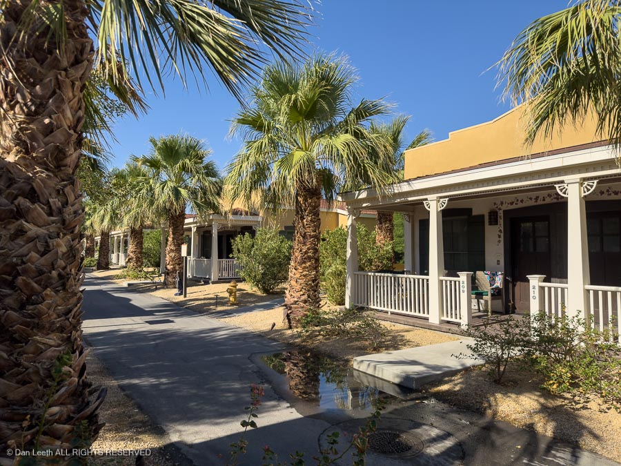
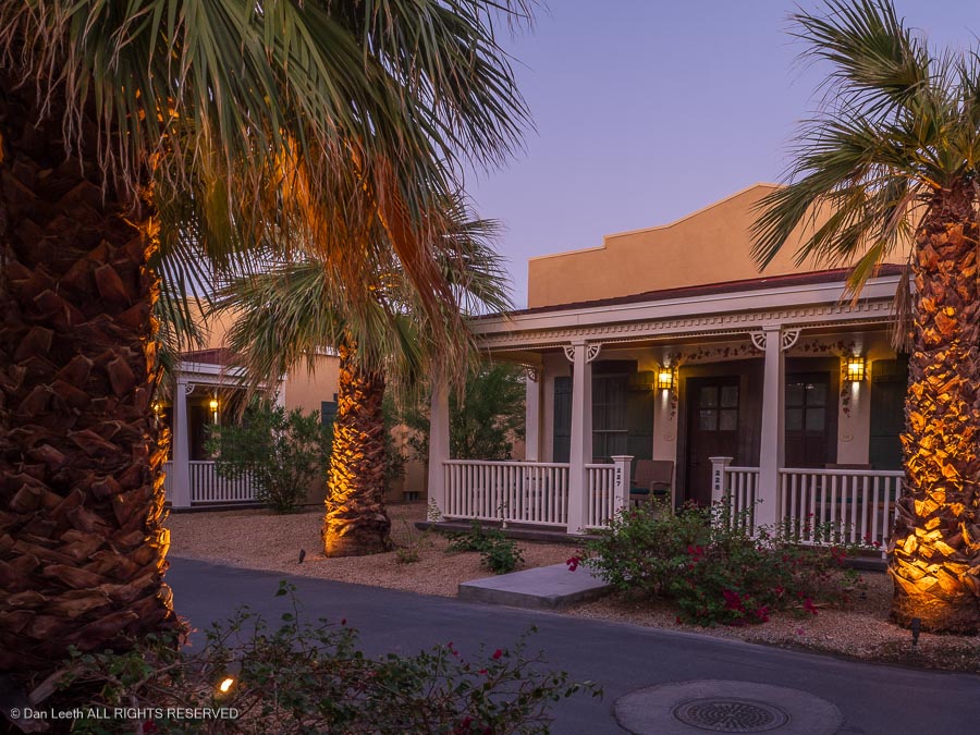
…before continuing on to Furnace Creek where we checked into our cottage in the Ranch at Death Valley for a two-night stay.
We first bunked in one of these last year on a trip in October and loved it. This time, we got the summer discounted price.
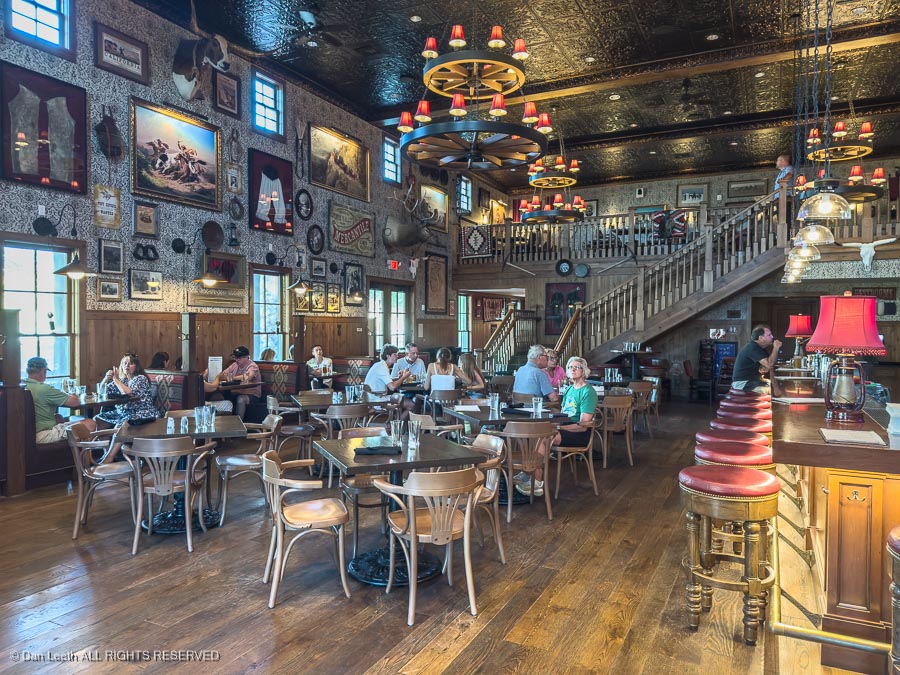
That evening, we walked over to the Last Kind Words Saloon at the Ranch for dinner…
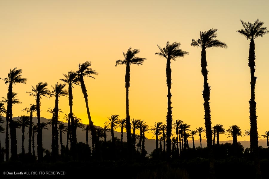
…after which we enjoyed a golden sunset…
…and a pleasant evening sipping wine on our cottage’s front porch.
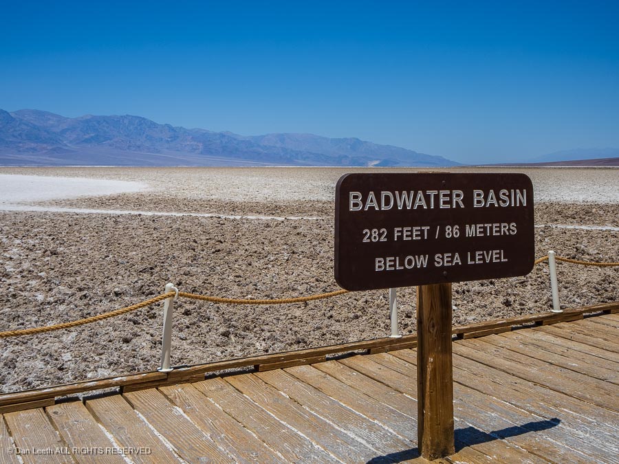
On our layover day, we decided to drive to Badwater Basin, the lowest point on the continent. Our first stop was the Devil’s Golf Course. Maybe this is why I’m not a golfer.
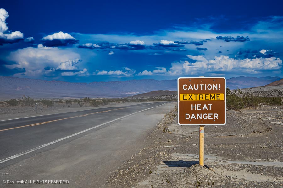
The low point was a short drive farther down the road…
…where we were once again warned that it gets hot around here in the summertime.
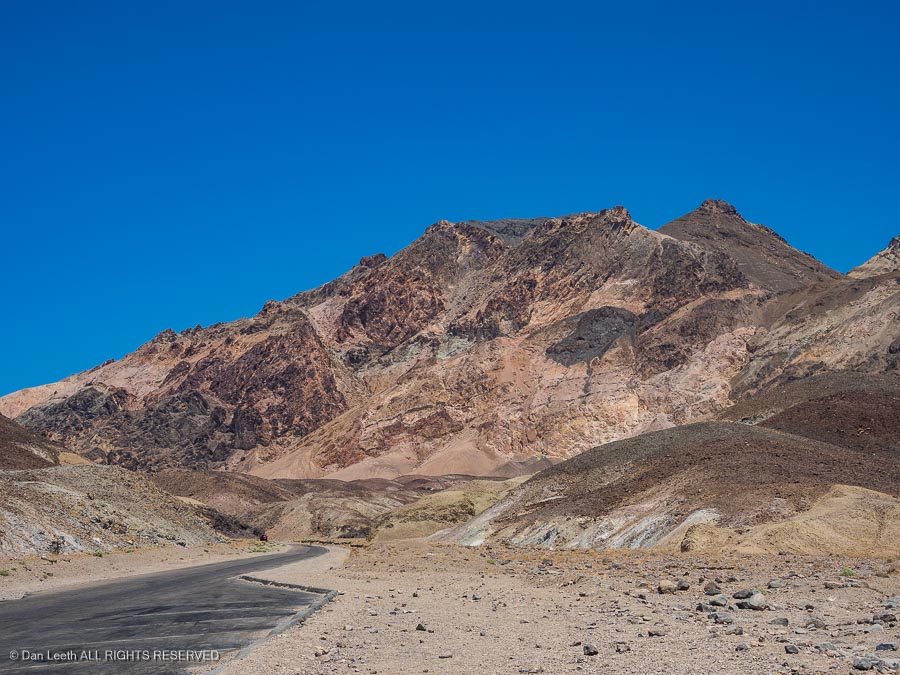
We explored a few other roads, enjoying the stark beauty of Death Valley’s barren hillsides.
Fortunately, the day was relatively cool by Death Valley summer standards.
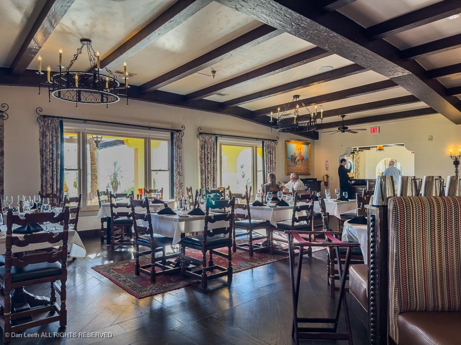
That evening, I had made early dinner reservations for the restaurant at the Inn. The food there is upscale as are the prices.
“What could be a better way to spend our kids’ inheritance,” I suggested to my darling wife.
“We don’t have any kids,” Dianne reminded me. I didn’t feel the least bit guilty ordering a $50 bottle of Washington state Merlot to go with our duck breast and steak dinners.
After all, that wine was cheaper than the half-tank of California gas at our last fillup.
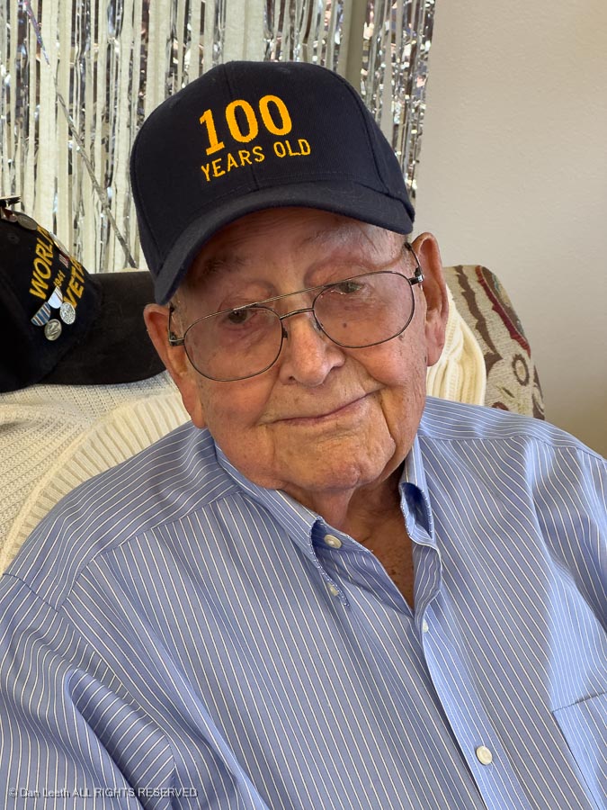
Dianne’s dad (age 100½) was experiencing some medical issues, which ultimately resulted in him spending a few nights in the local hospital.
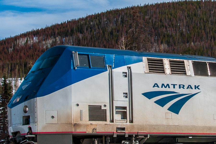
To help her mom (age 94½) handle issues (and translate what the doc was telling her), we thought it would be a good thing for Dianne to head out to their estate in Western Nevada. Dianne booked a ticket, packed her bag and a few hours later was onboard an Amtrak heading west.
She arrived in Reno a mere eight+ hours behind schedule, which for Amtrak is pretty much on time.
Her dad survived and was soon at home again and functioning well. Dianne could have taken the train back to Grand Junction, but I had a better idea. I would drive out, load up the wife and we’d take the Subie back home by way of Death Valley.
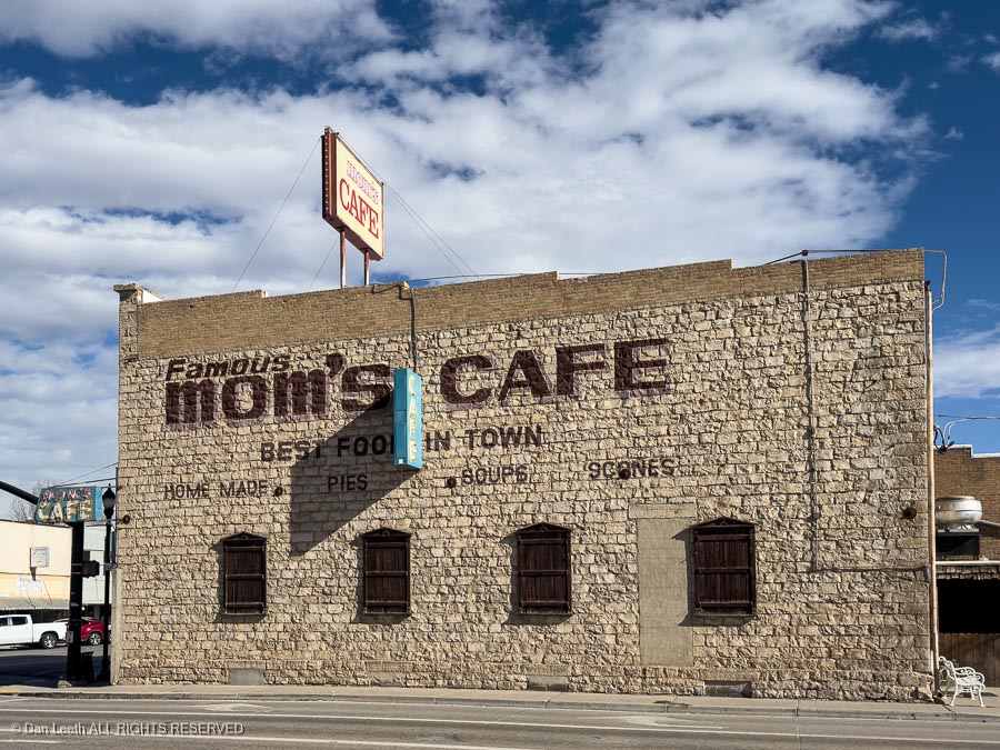
My route from Colorado took me out Interstate 70 to Salina, Utah, and then across Nevada on U.S. 50, the loneliest road in America. Stops included lunch at Mom’s Café in Salina…
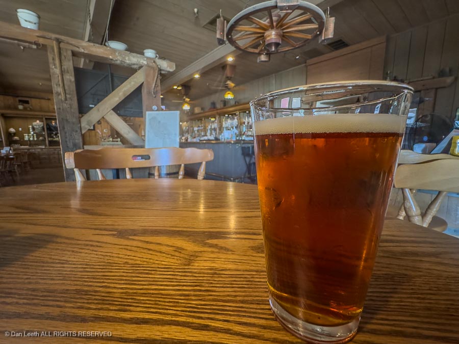
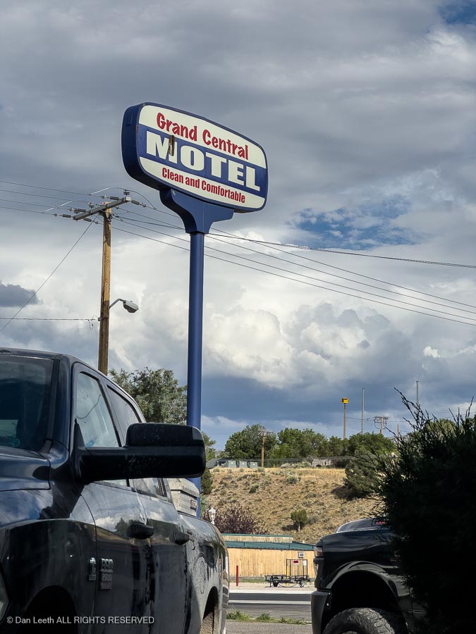
…with an overnight stay at the Grand Central Motel in Ely, Nevada.
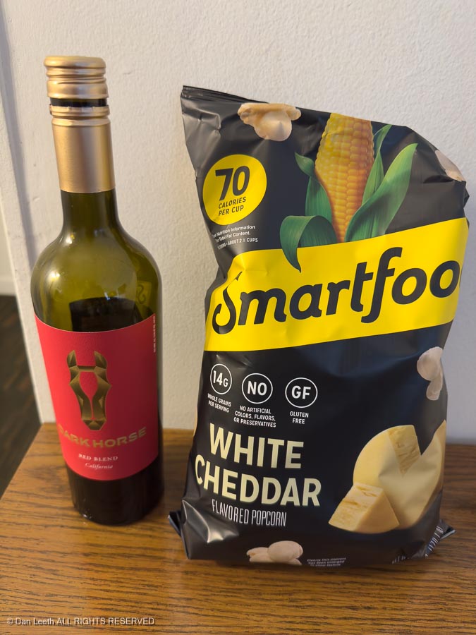
There, I enjoyed my usual on-the-road evening dinner.
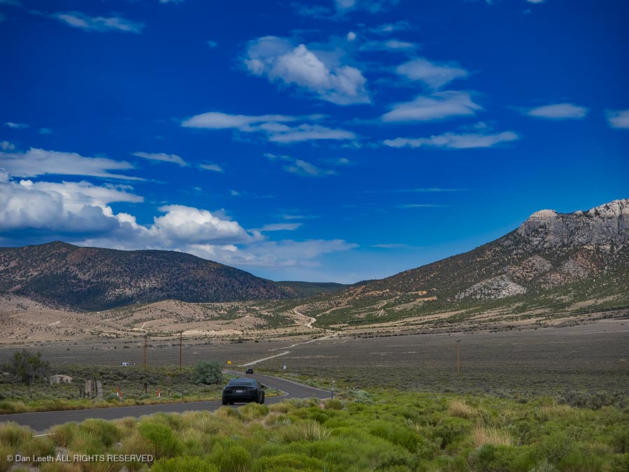
Continuing westward the next morning, I continued across the Great Basin Desert, which some us actually find to be strangely attractive terrain.
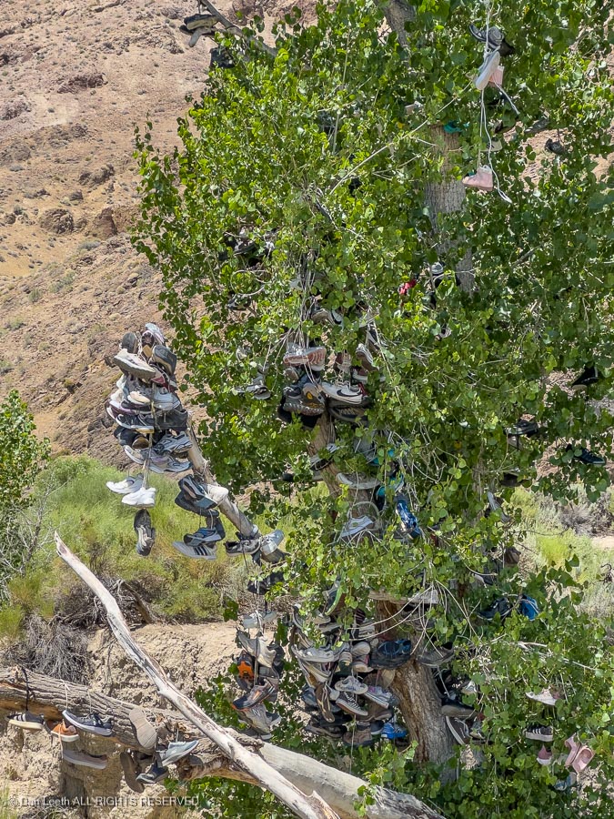
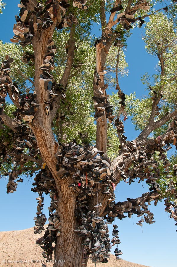
I made the obligatory stop at the shoe tree near Middlegate, Nevada. This is the replacement shoe tree.
Vandals chopped down the more impressive original (see below) in 2010.
I finally reached Chez Giles in Gardnerville, Nevada, where I stayed for two pleasant nights.
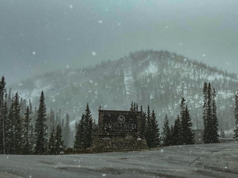
Our stay at Cherry Creek concluded, we hooked up and made our escape from Gridlock Gulch. We took the backway out of Aurora, headed south through Parker, which has a stoplight at every corner which always turn red when we approach and on down Colorado 83 to Colorado Springs. From there, it’s into the mountains, though South Park and then over Monarch Pass where snow was falling.
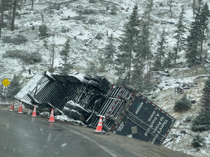
Down the other side, we passed an Amazon truck. Is this why two-day Prime delivery takes a week in the Grand Valley?
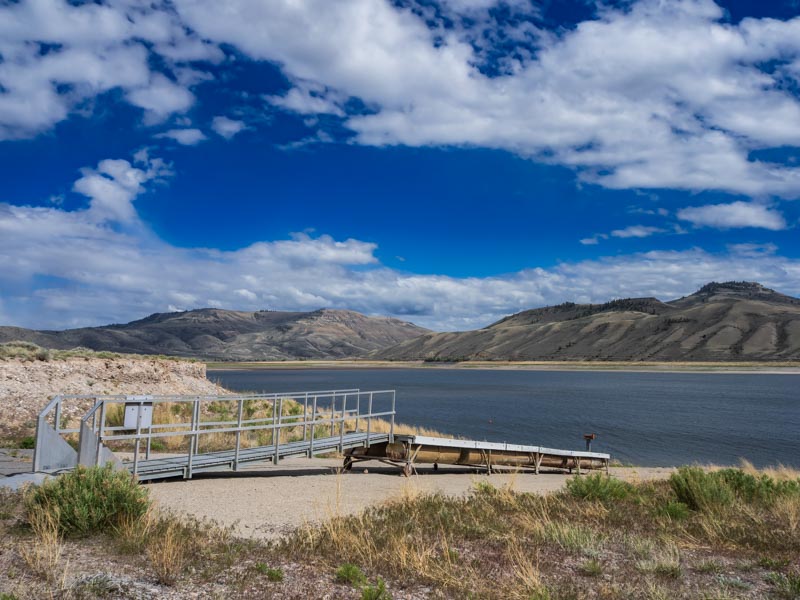
We drove through Gunnison and out past Blue Mesa Reservoir, where the water level was down significantly.
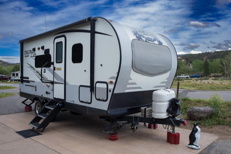
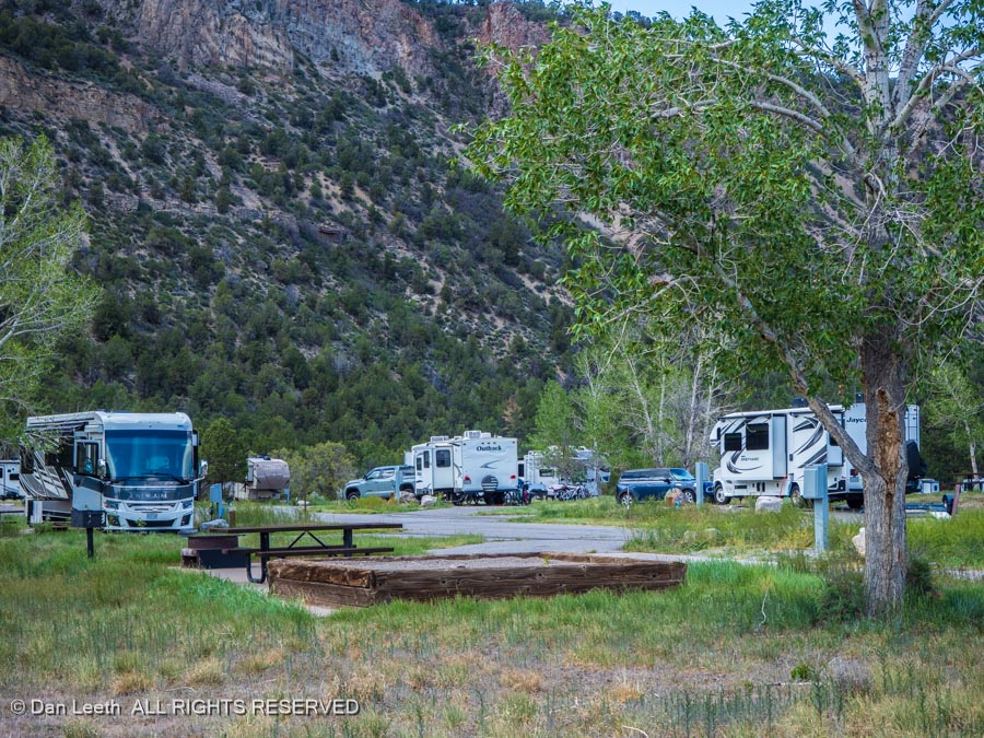
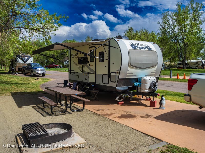
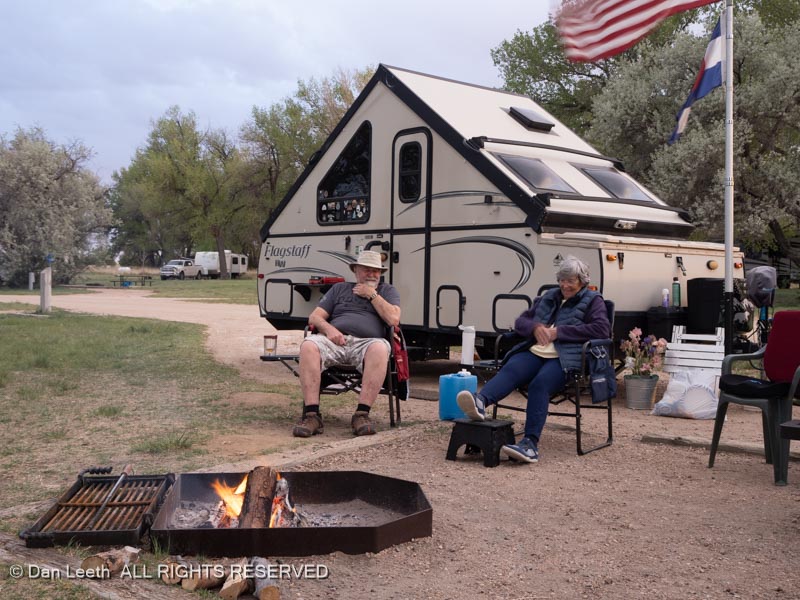
A bunch of miles and a couple of turns later, we made it to our campsite in Ridgway State Park, one of our Colorado favorites. We got the trailer set up before the rain started and had an enjoyable evening, dining on a microwave popcorn dinner in our warm and dry “cabin on wheels.”
On our first full day at Ridgway State Park, Dianne drove into Montrose to visit some friends who had to leave the park early. I hung out at the campground, writing a rough draft of our Jackson Lake stay for my Colorado Life camping column.
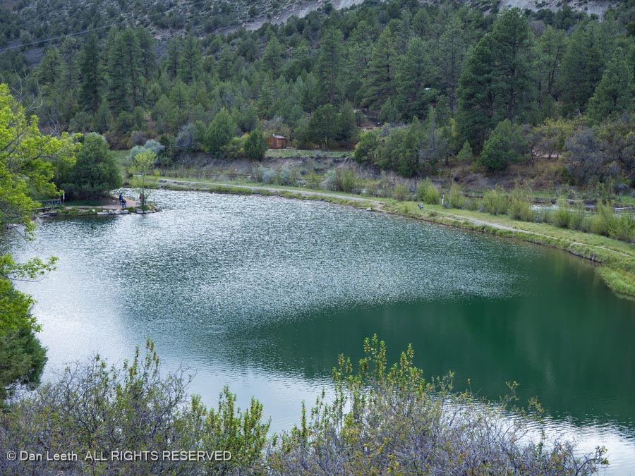
On our second full day at Ridgway, we did a little hike down to a trail below the dam where there are some fishing ponds.
We hiked around the ponds…
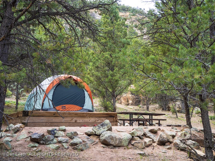
…to a set of nicely secluded walk-in tent sites.
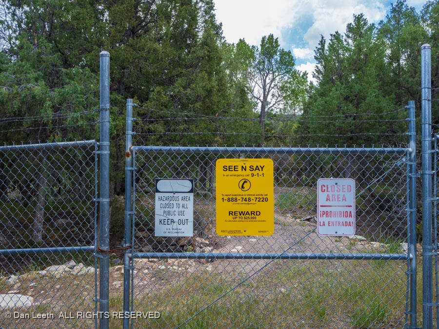
Continuing down the trail, we reached a dead-end fence near the base of the dam.
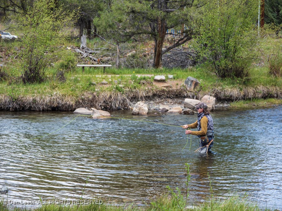
We bushwacked our way back to where the lower section of the trail followed the river (we apparently missed a turnoff), passing some anglers fly “fishing” in the tailwaters. I didn’t see any of them “catching” in the tailwaters.
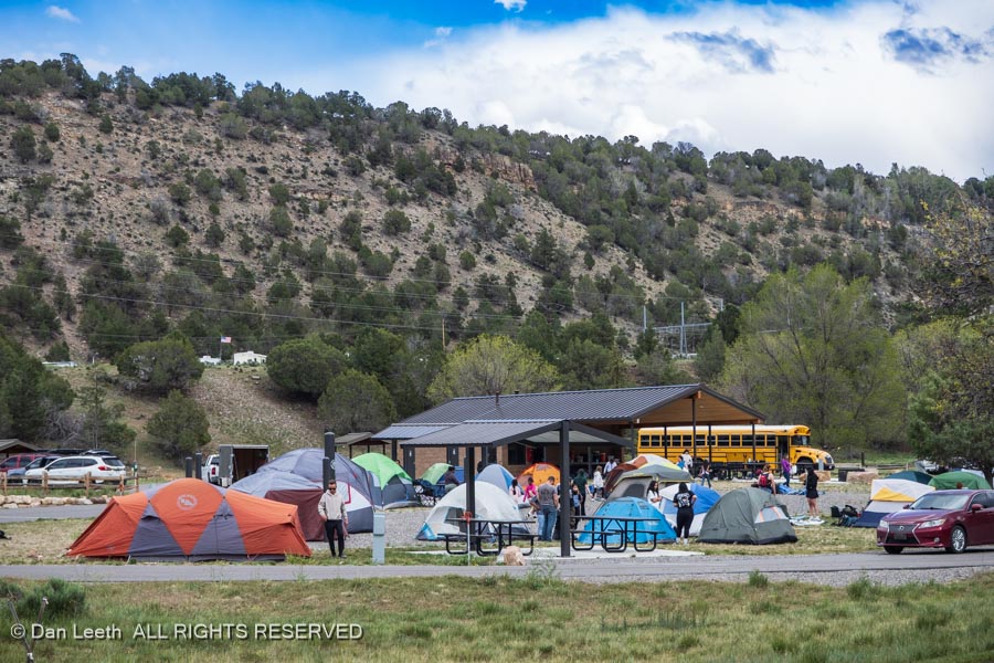
The group camping area we passed on our way out was infested with a swarm of fourth graders from Glenwood Springs. They appeared to be having a good time. I’m envious. We never got to do anything like this when I was in the fourth grade.
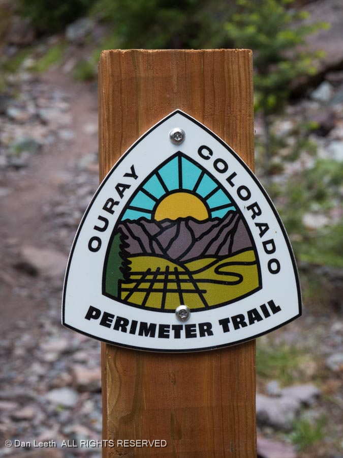
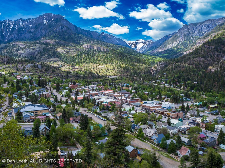
On Thursday, we drove a dozen miles down to Ouray and hiked a short section of the Ouray Perimeter Trail…
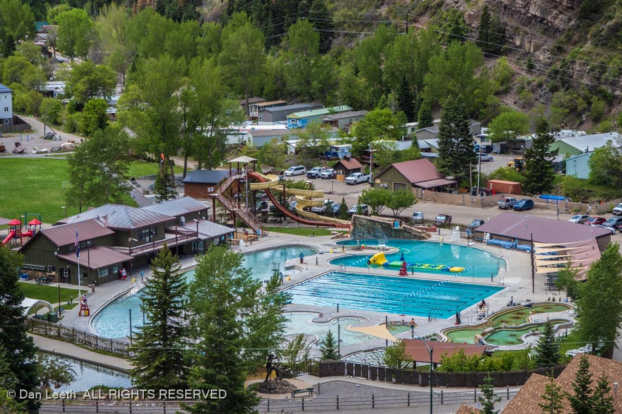
Our route began near the hot springs…
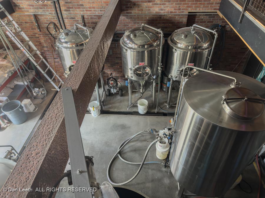
…and ultimately ended at the Ouray Brewery.
Along the way, we enjoyed lofty views of this self-proclaimed “Switzerland of America.”
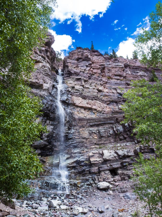
We took a long photo break at the towering Cascade Falls, our turn down to town point…
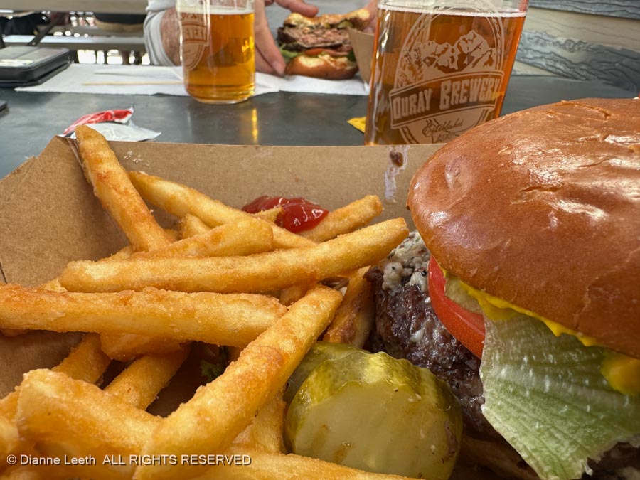
…before heading to the Ouray Brewery for burgers and brews.
The second park on our three state park expedition is Cherry Creek, which lies on the eastern side of the Gridlock Gulch (Denver) metropolitan area.
Cherry Creek offers an oasis of nature-made sanity surrounded by a man-made jungle of urban chaos.
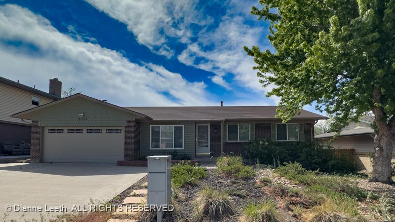
Cherry Creek is an old favorite of ours. Our former home…
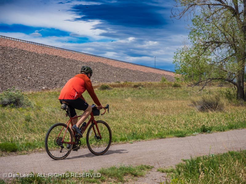
…was only five miles from here (front yard looked nicer when we lived here). While we seldom camped there, we frequently took advantage of the biking trails that cut through the park.
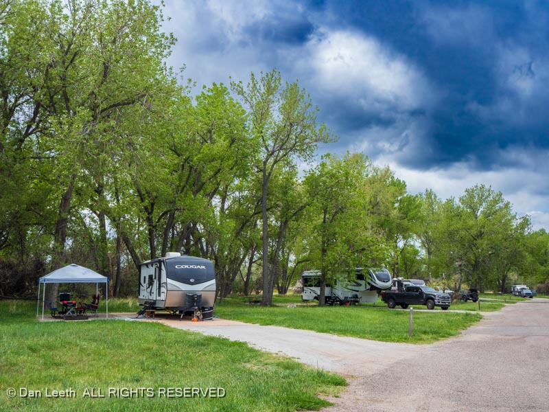
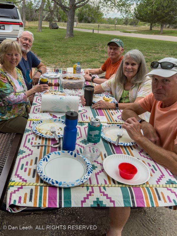
Our goal for stopping at Cherry Creek was to meet up with four of our long-time camping buddies who still reside in the Gulch. We arrived at the park on Friday afternoon, set up camp…
…and then met two of our buds for dinner at The Perfect Landing, one of our favorite Denver-area restaurants.
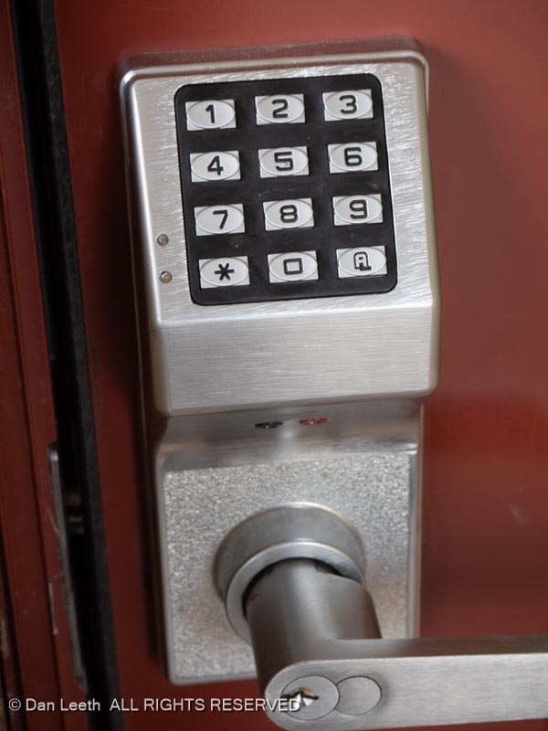
The one thing I found annoying at Cherry Creek was that at this state park, the restrooms require a five-digit secret code to enter.
It didn’t used to be that way back in the good old days when we’d stop in for a pee break on our bike trips.
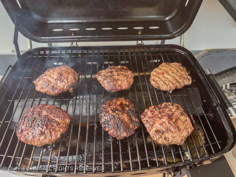
On Saturday afternoon, all four of our camping buddies stopped by our campsite for a lunch featuring hamburgers…
…grilled on our trailer-side grill.
Sunday, Dianne got to attend services at her former church, saying hello to dozens of old friends.
Back in camp, it rained in the early afternoon, leaving the grass wet and puddles in the street.
When the rain stopped, we went over to the dam side of the park…
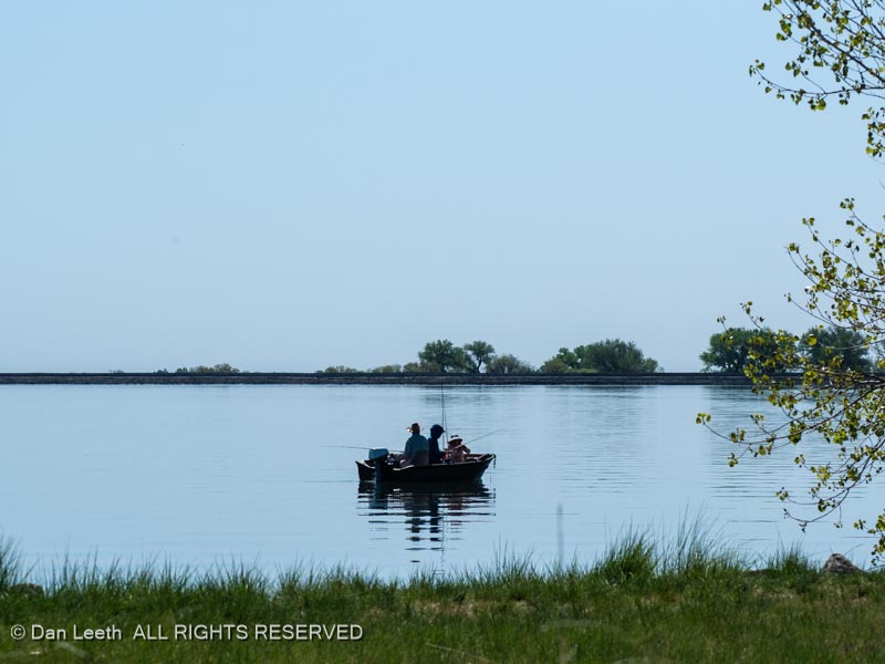
And looked out on anglers fishing. (We did not see any anglers catching, however.)
Driving out of the park to refill the truck with fuel, I began to think about…
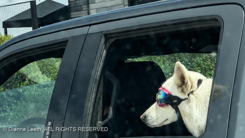
…what I truly miss about living in Gridlock Gulch (besides goggle-wearing dogs). The answer was…
This return to the Denver area once again confirms every one of the reasons why we left.
Tomorrow, we’ll hook up the trailer and flee back to the Western Slope – the canyon-side of the Rockies.
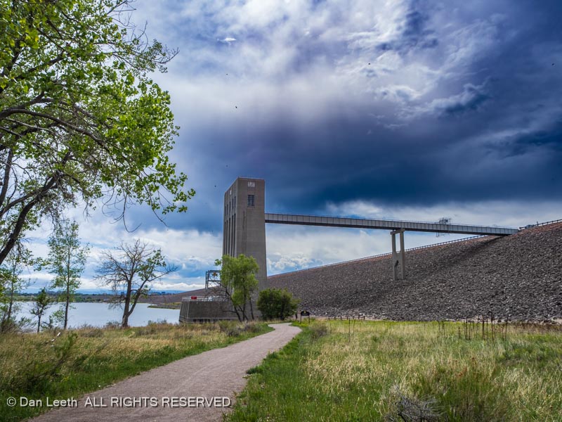
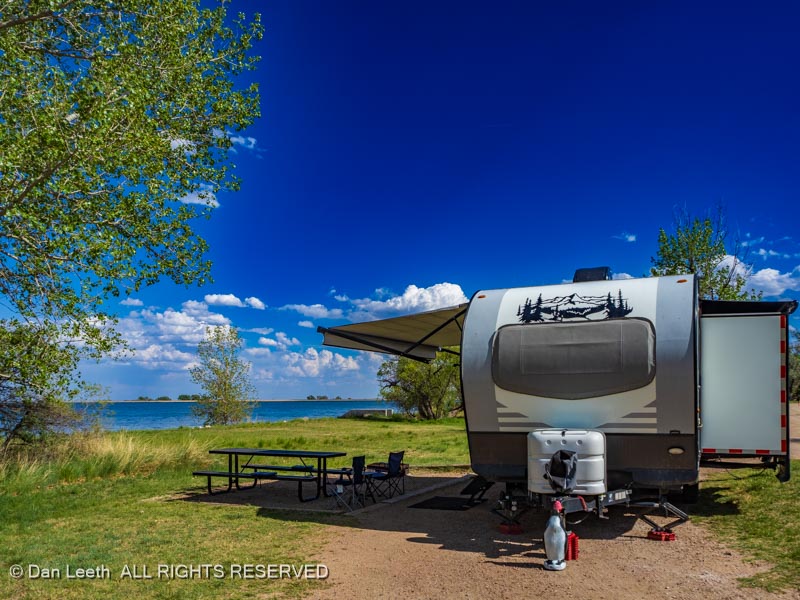
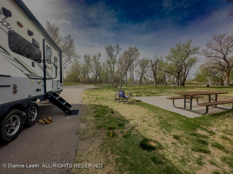
The first of three state parks we’re visiting on this camping trip is Jackson Lake, which lies north of Fort Morgan, about 100 miles northeast of Denver. We will be camping with some of our old A-frame trailer friends at the Lakeview Campground.
We had a nice, lakeside site with an electrical hookup and a nearby water spigot, which we could use to fill our trailer’s 50-gallon freshwater tank.
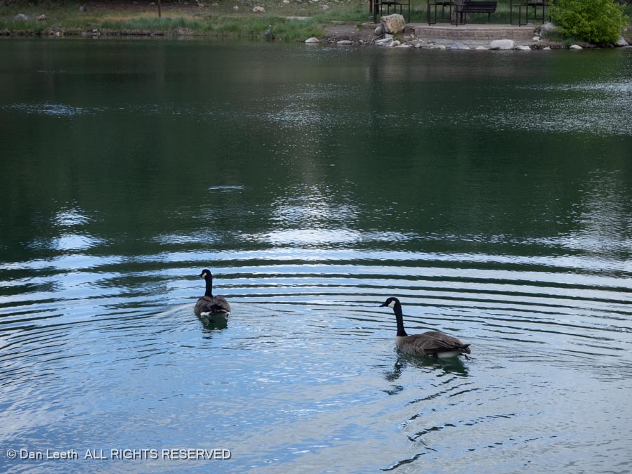
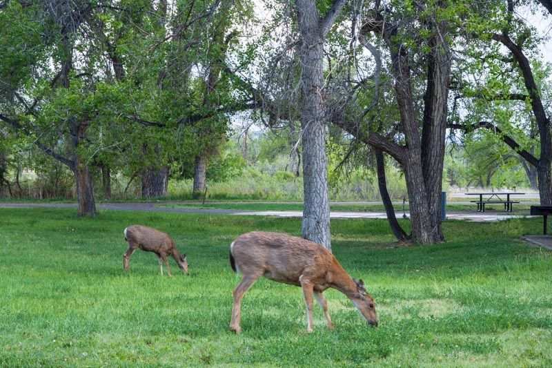
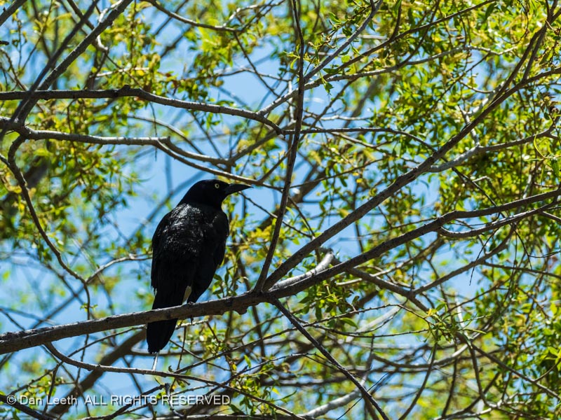
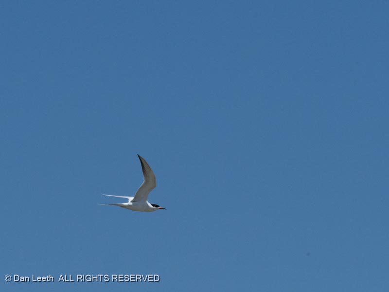
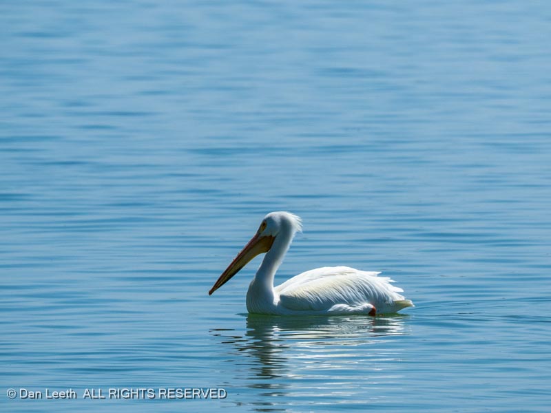
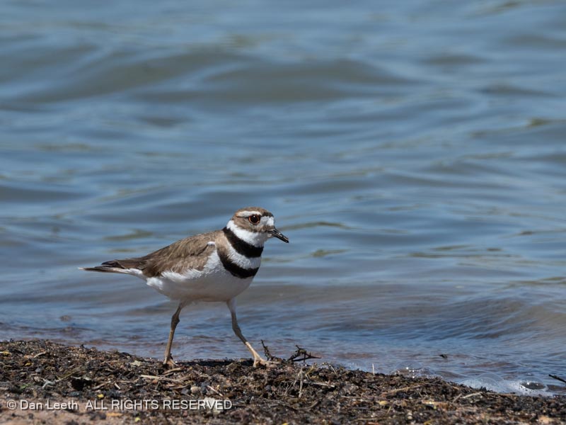
Jackson Lake is a good place to observe birds. We found them in the trees…
…in the air…
…on the water…
…along the shore…
…and in the grass.
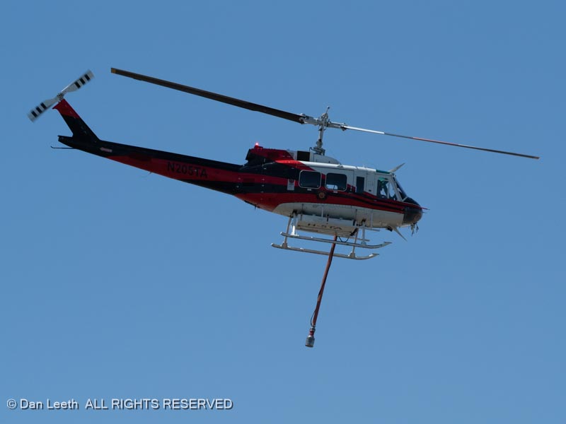
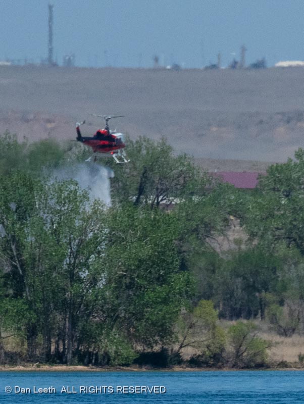
And then there was the whirlybird used by firefighters training for helicopter water drops. The chopper would fly across the lake and drop it’s sucker hose into the water, filling the tank under the helicopter body.
Then they would circle around and drop their load along the far shoreline…
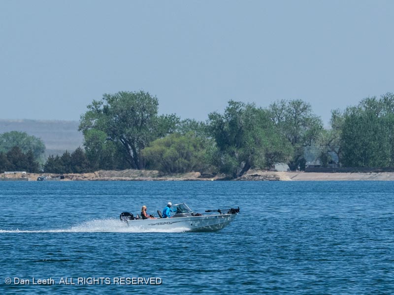
…away from any motorboaters…
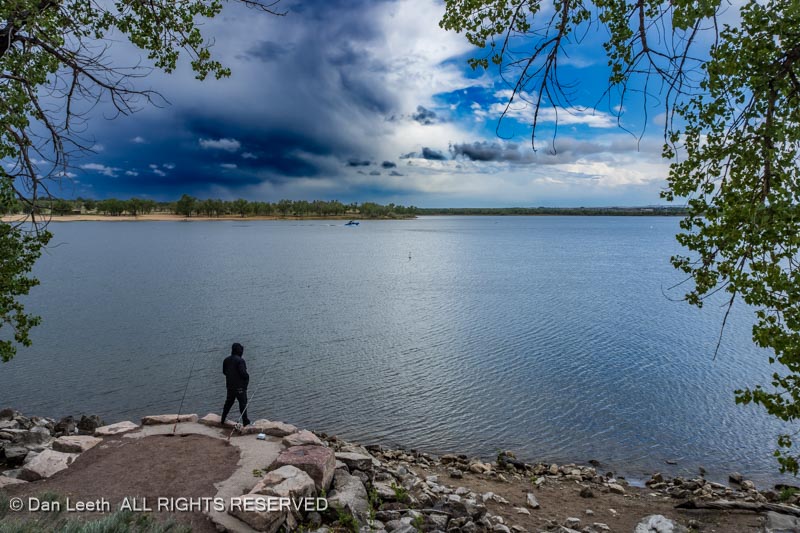
…and anglers on the water.
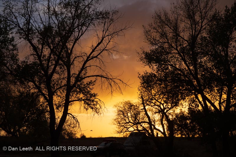
On our four-night stay, we were treated to some colorful sunsets…
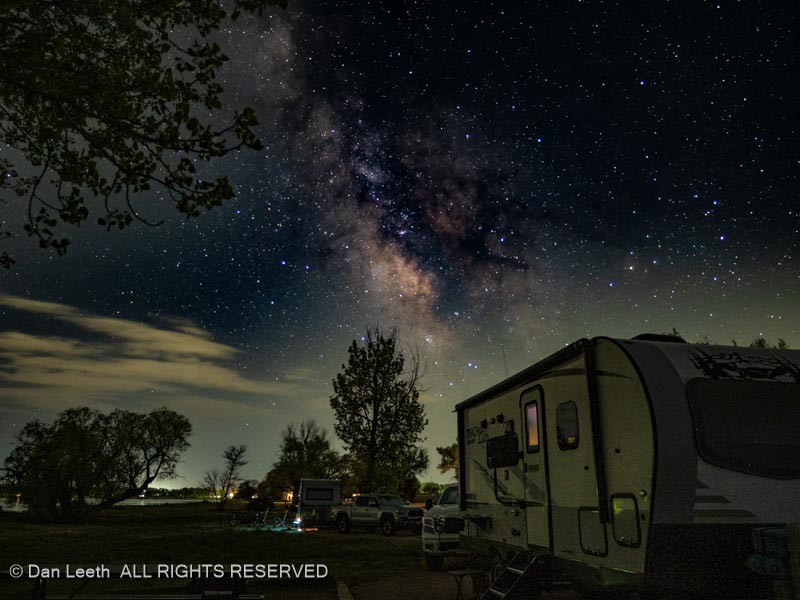
…and starry nights.
Jackson Lake served as a good start to our trio of state parks camping trip.
Around midday, we’re finally hooked up and on the road heading east. Our goal is Jackson Lake State Park, which is located on the Kansas side of the mountains. The most direct route there would be through Gridlock Gulch (Denver), but being Western Slope folks, we try to avoid Denver whenever possible.
Our route to the level lands will take us through Steamboat Springs, with an overnight stay at the Steamboat Springs KOA.
We had a nice, shady, full-hookup site, complete with adirondack chairs circling a circular table.
The Yampa River cuts through the center of the RV park, with KOA Kabins along the waterway.
I’ve thought that doing a cross-country trip in the Subaru with every night spent bunking in RV park cabins could be fun, but the price to rent one of these for the night can be more than a typical Super 8 Motel room, and most of the cabins lack bathrooms. So we’ll keep towing our trailer.
Here are three options for your drive back to Fruita:
Option 1 – Hanksville and home
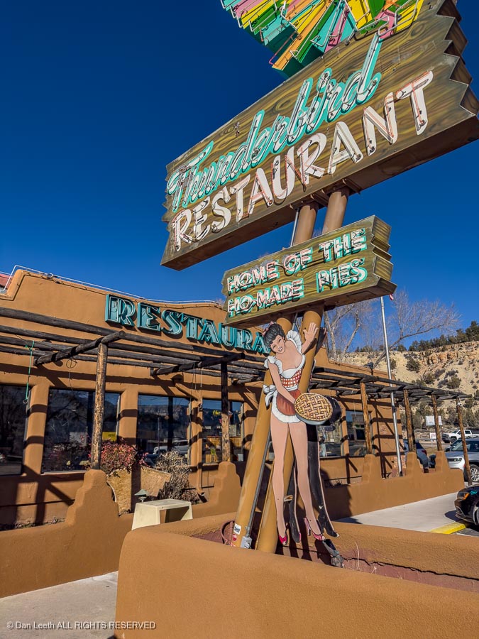
From Saint George, head back through Zion to U.S. Highway 89 at Mt. Carmel Junction. This is home of Thunderbird Lodge, a good stop for Ho-made pies (and/or for lunch).
Go north on U.S. 89 to the junction with Utah Highway 12, which you will take past Bryce and into Cannonville. An optional detour here is to turn south on Main Street and follow the paved Kodachrome Road (County Road 7000?) to Kodachrome Basin State Park.
From there, you could continue south on the Cottonwood Canyon Road (graded gravel) to Grosvenor Arch.
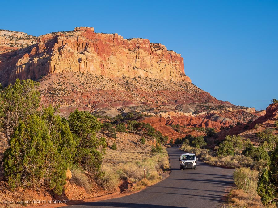
Turn around, head back to Utah 12 and continue through Escalante, Boulder and on to Torrey where you’ll turn east onto Utah Highway 24 and head into Capitol Reef National Park.
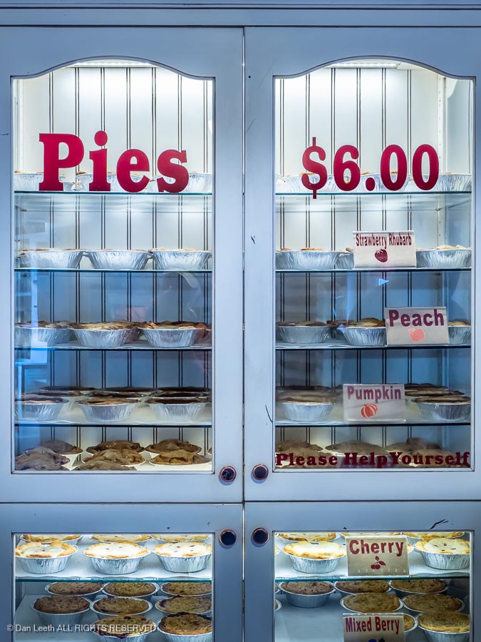
Another worthwhile detour is to take the paved Scenic Drive south through the park. If you haven’t had enough pie yet, a stop at the Gifford Ranch can be worthwhile, but the pies sell out early and they’re now $8 each.
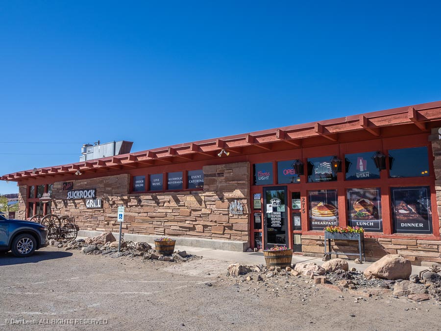
Continue on Utah 12 to Hanksville. Dukes Slickrock Grill serves good barbecue if you’re in need of food.
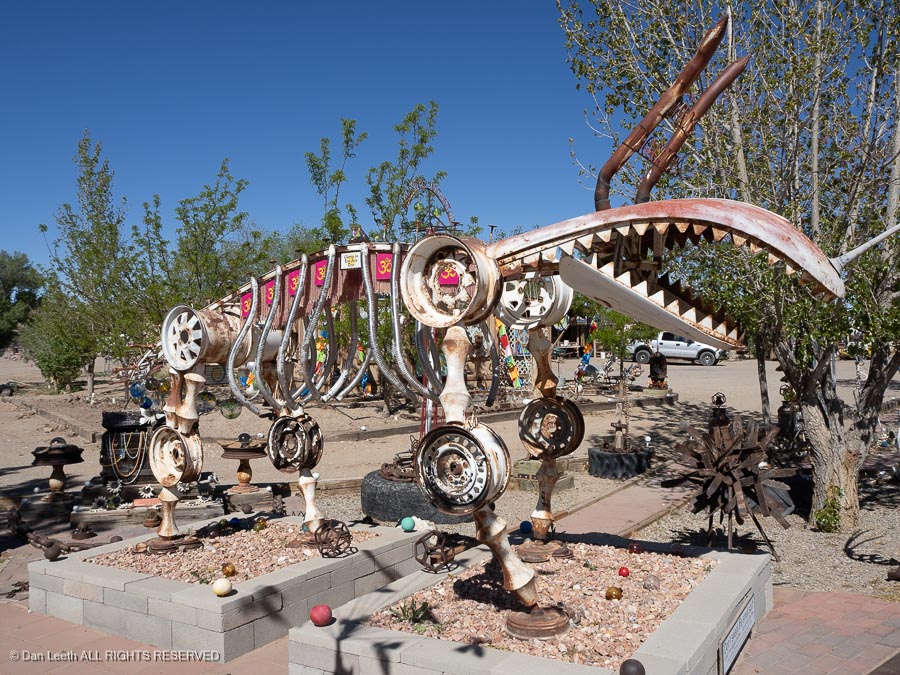
A walk through Carl’s Critter Garden is fun.
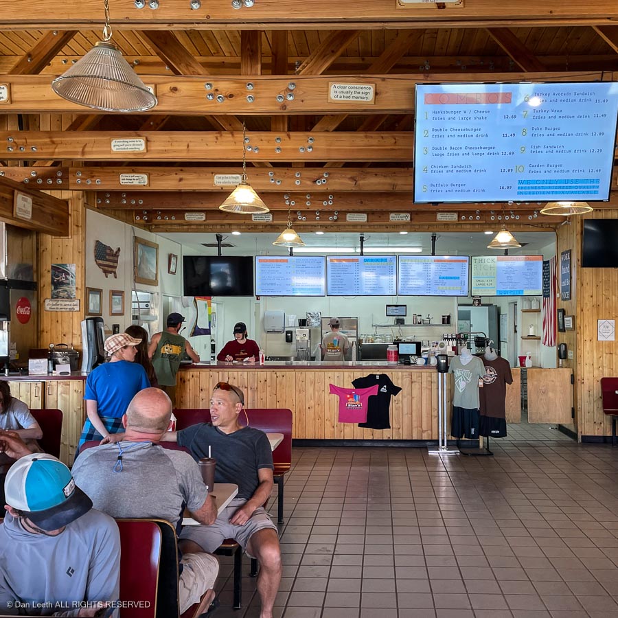
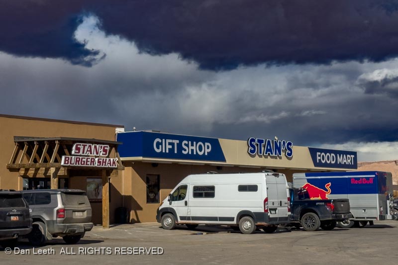
From the intersection in town, a short drive south leads to Stan’s Burger Shak and a convenient gas stop. Stan’s serves great shakes, which you have to eat with a spoon.
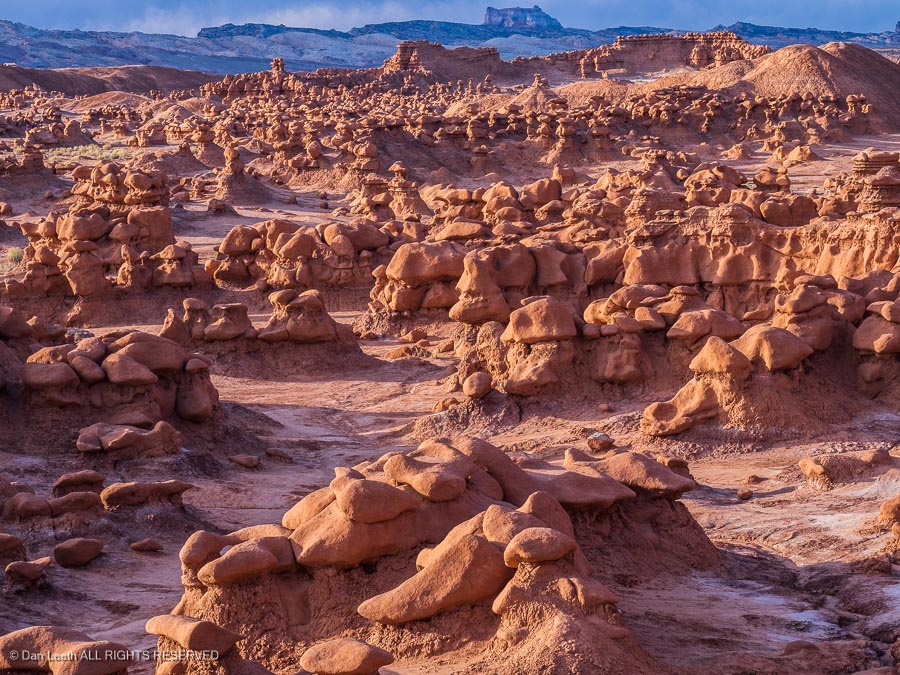
North from Hanksville is the turnoff to Goblin Valley State Park, another worthwhile sidetrip.
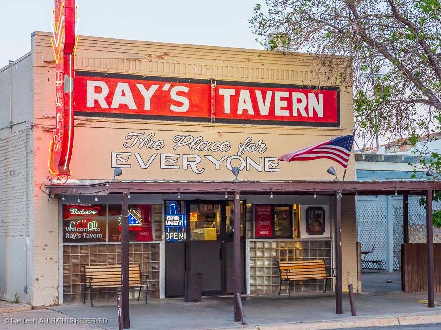
Back on Utah 24, head north to I-70 and head for home, with a dinner stop at Ray’s Tavern in Green River.
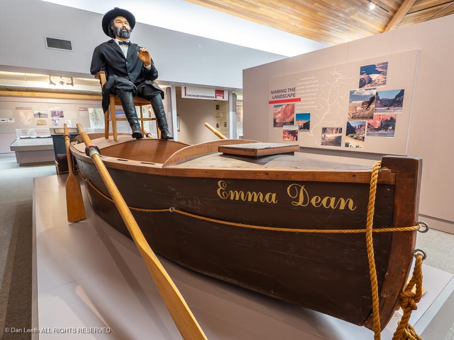
A stop at the John Wesley Powell River History Museum in Green River can be worthwhile if you have time.
Option 2a– A Strip Trip
From St. George, head north on I-15 and turn off on Utah Highway 9 toward Hurricane. Turn south on Utah 59 and continue through Colorado City (formerly Short Creek), a longtime polygamist community and former home of convicted child sex offender Warren Jeffs.
The road enters Arizona and becomes State Route 389). Follow that to Fredonia. Along the way, a stop at Pipe Springs National Monument can be worthwhile if you’d like to learn a bit about Mormon pioneer history.
Option 2b– A Strip Trip
From St. George, head back through Zion to Mt. Carmel Junction, have a pie and turn south on U.S. 89 to Kanab. I’ve heard the Little Hollywood Museum is worth a visit, but we’ve never been there. Continue south to Fredonia.
Continuation of Option 2
The land between the Colorado River and the Utah border is known as the Arizona Strip, an area with limited law enforcement making it ideal for those polygamist Mormons residing in Short Creek, Arizona, and neighboring Hildale, Utah. When law officer from one of the two states came to arrest the polygamists, the men would simply move their brides across the state line.
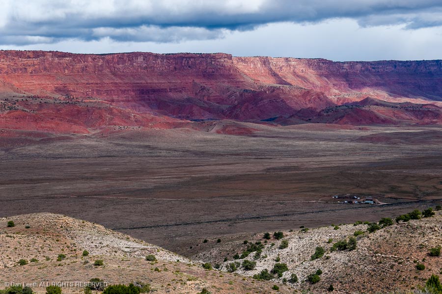
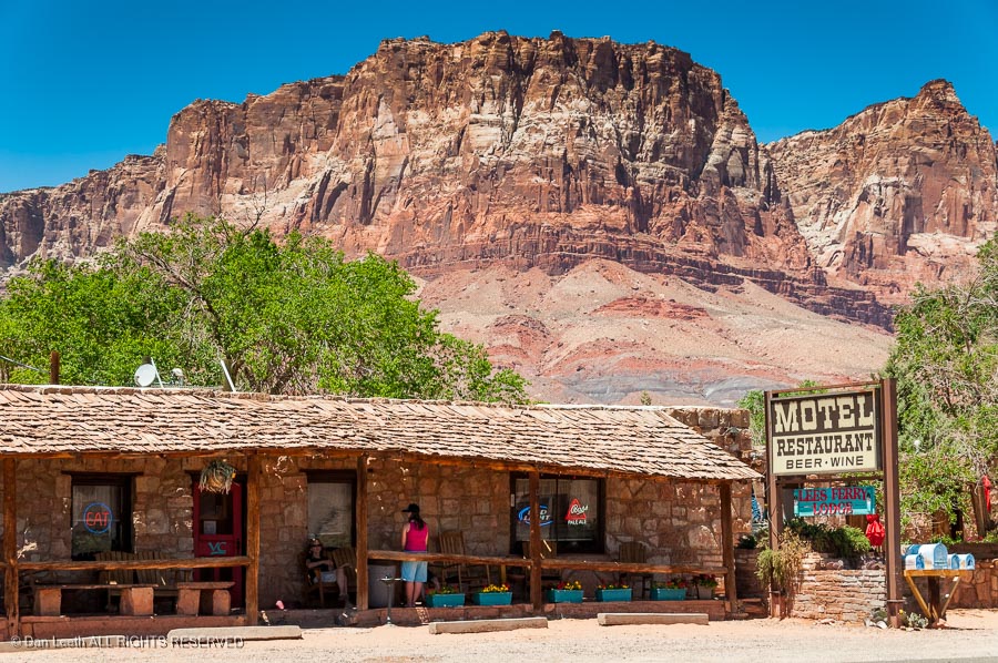
From Fredonia, follow U.S. Highway 89A through Jacob Lake and continue past the Vermilion Cliffs. Keep an eye to the sky for California condors.
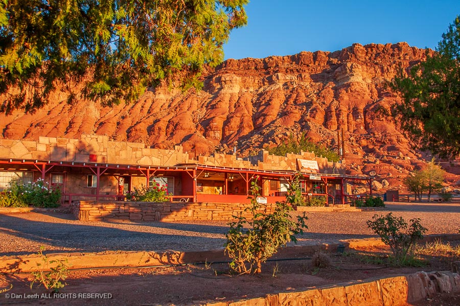
We bunked at Cliff Dwellers Lodge years ago and liked it.
Lee’s Ferry Lodge at Vermilion Cliffs could be another overnight alternative.
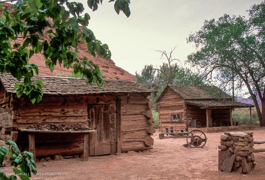
A short side trip to Lee’s Ferry is an option. This is the put-in point for Grand Canyon river trips. Here you’ll find he remains of Lonely Dell Ranch where ferry operator John Doyle Lee and one of his wives resided before he was executed for supposedly masterminding the Mountain Meadows massacre in 1857.
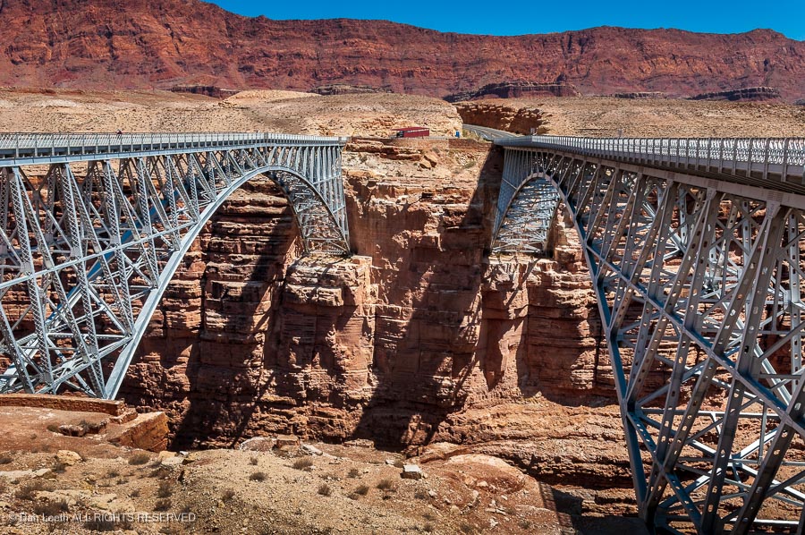
Back on the main highway, you’ll cross Marble Canyon and the Colorado River on the new Navajo Bridge. The old one is now just for pedestrians.
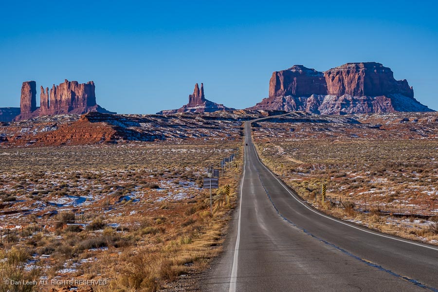
Continue to the junction with U.S. 89 and continue south along the Echo Cliffs. At the junction with U.S. 160, turn onto it and continue through Tuba City and onto Kayenta where you’ll turn onto U.S. 163 and head north through Monument Valley.
The drive through the valley (there’s a fee and it’s a gravel road) is interesting. Lodging options are the View Hotel and Goulding’s Lodge.
From there, continue north to Mexican Hat.
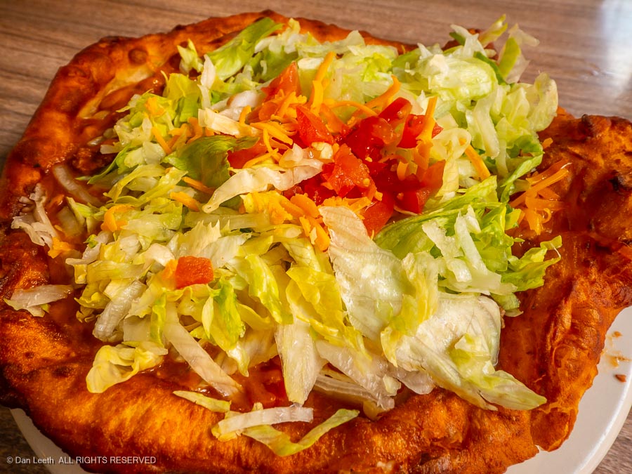
The San Juan Inn offers Mexican Hat lodging above the San Juan River, and its Olde Bridge Grille offers some of the best Navajo Tacos around.
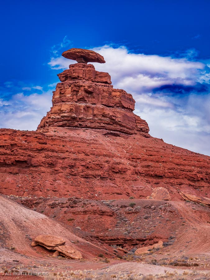
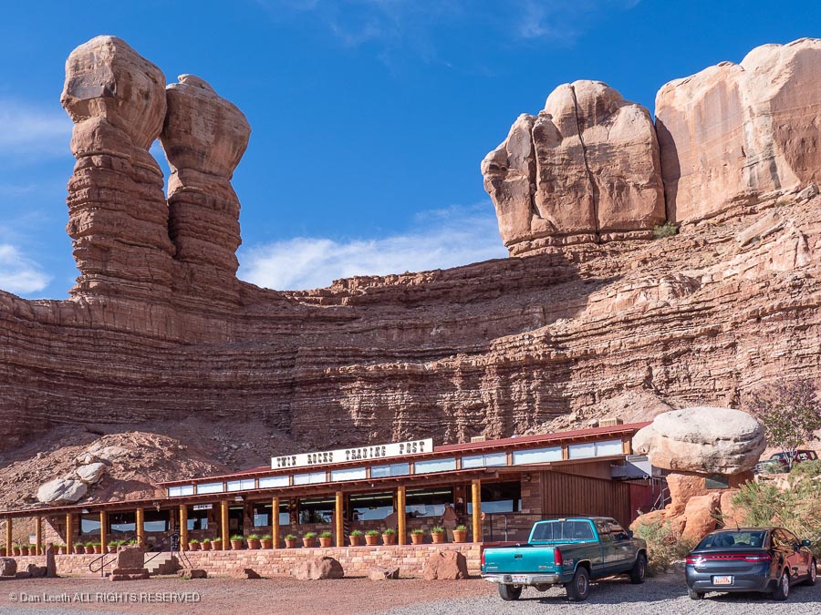
A bit south of Bluff, the highway becomes U.S. 191. In Bluff, the Twin Rocks Trading Post serves decent Navajo Tacos.
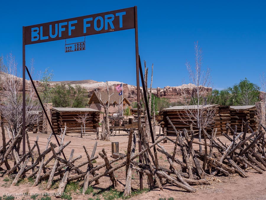
A stop at Fort Bluff tells about the Hole in the Rock expedition and the settling of Bluff. It’s run by the Mormons, but nobody’s tried to convert us on any of our previous visits.
A side trip from just south of Blanding on Utah Highway 95 leads to Natural Bridges National Monument.
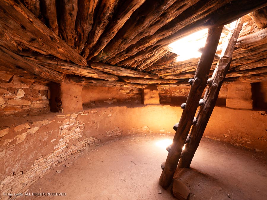
Continuing north on U.S. 191 into Blanding, a stop at the Edge of the Cedars State Park can be worthwhile if you’d like to learn more about the Anasazi culture. There are the remains of an Anasazi settlement here along with a restored kiva that you can enter.
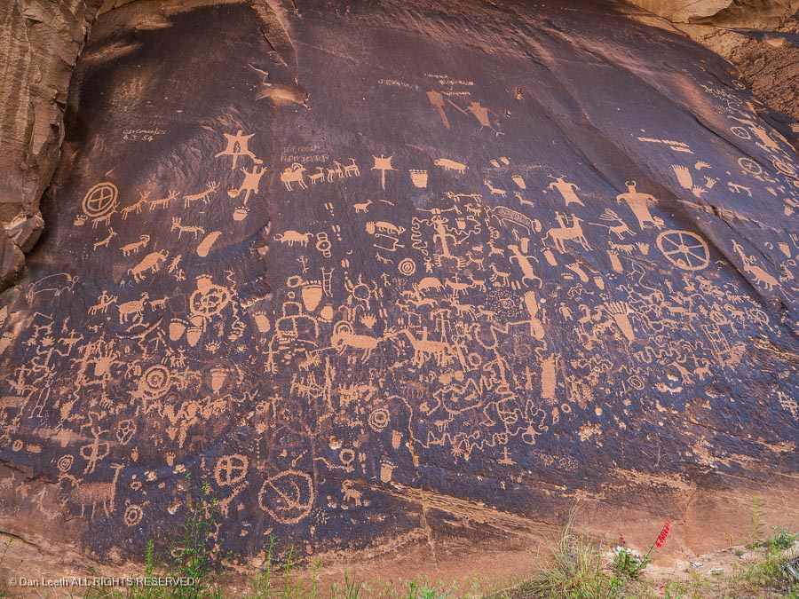
Continuing north through Monticello, a turn down Utah 211 leads to Newspaper Rock, a boulder covered with ancient rock art.
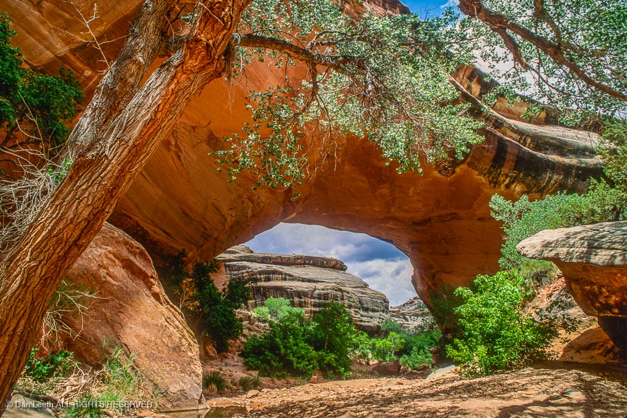
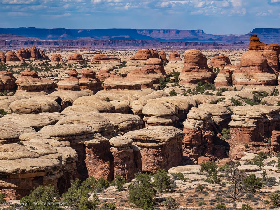
Continuing on, you’ll enter Canyonlands National Park’s Needles district. While it’s pretty from the roadway, this is really hiking country, but there are a few short, scenic trails worth following.
From Monticello, it’s north to Moab and you know how to get home from there.
Option 3
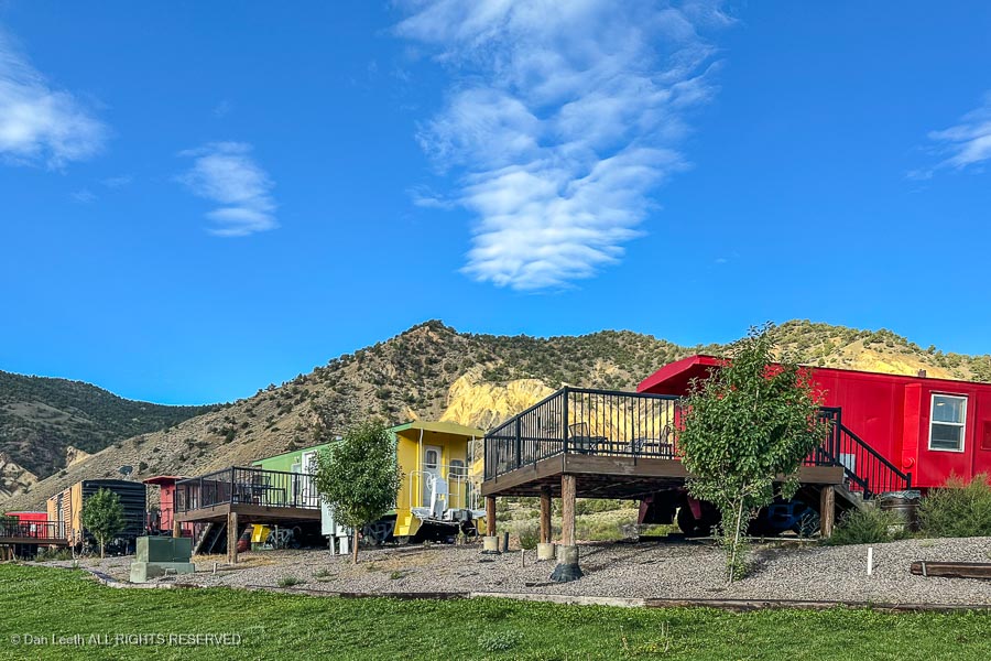
Head back through Zion, and after you finish your pies at the Thunderbird Lodge, head north on U.S. 89. After passing through Panguitch, Circleville and Marysvale, you’ll get to Big Rock Candy Mountain, home of Caboose Village. Here, one can bunk in retired railcars.
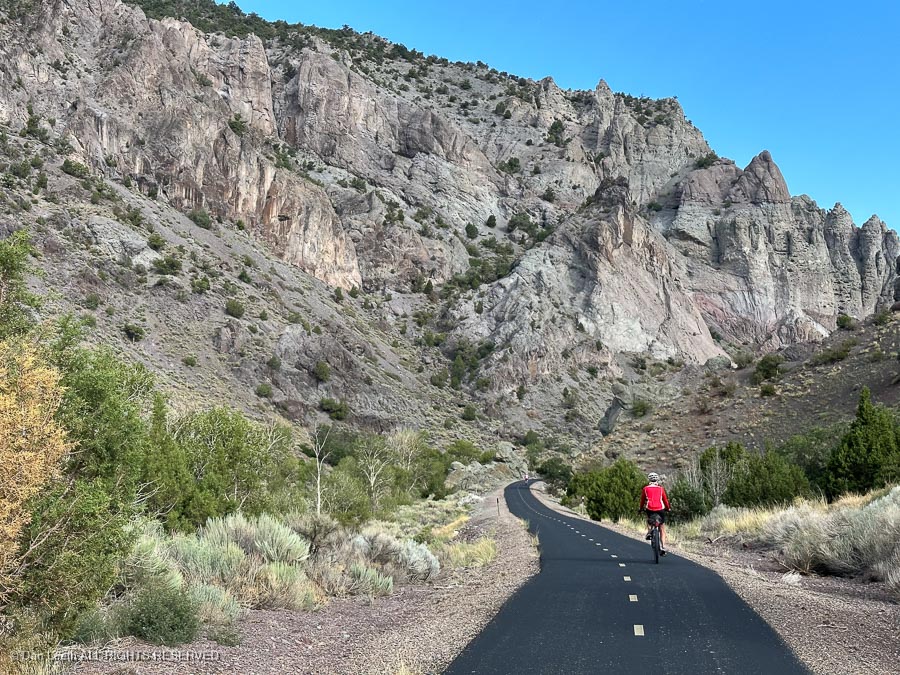
There’s a nicely paved bike trail across the river.
From there, it’s a straight drive north to I-70. A stop at Fremont Indian State Park, located near the highway junction, can be an interesting detour…
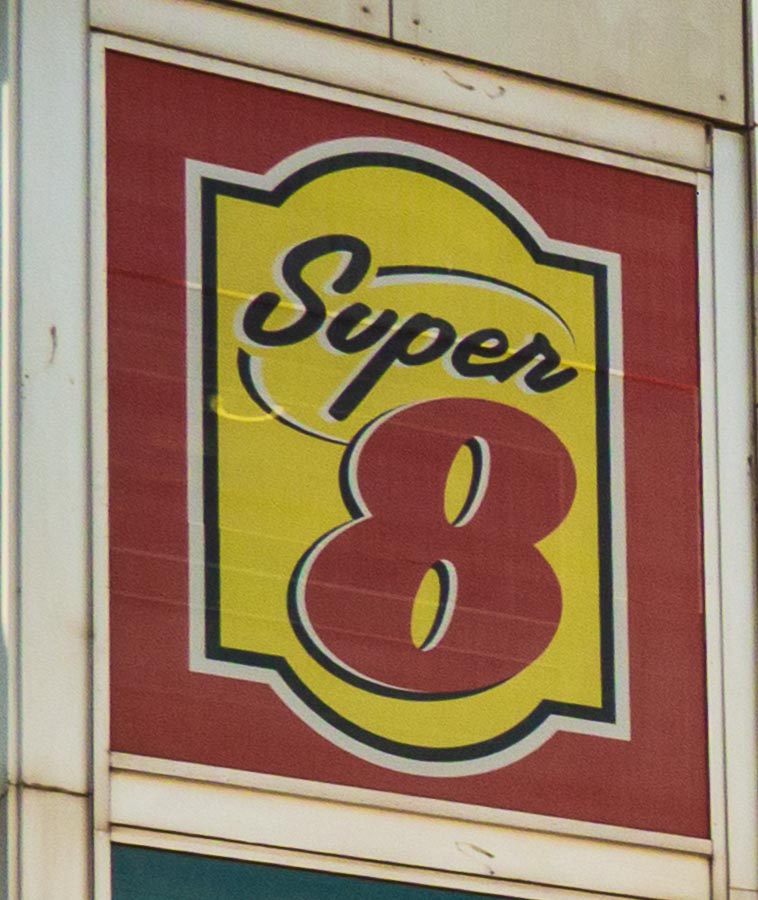
…and if you need lodging, the town of Richfield has a nice Super 8 Motel.
Dianne, needing something to fill her retirement days, has started peddling nutritional supplements from LifeVantage. She had a meeting to attend in Las Vegas, Nevada, so we decided to hook up the trailer and take a long, winding way there.
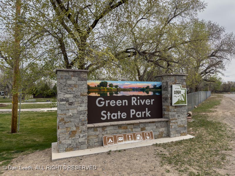
Day one of our Las Vegas adventure began with a 90-mile drive from our home in Fruita to Green River State Park in Utah.
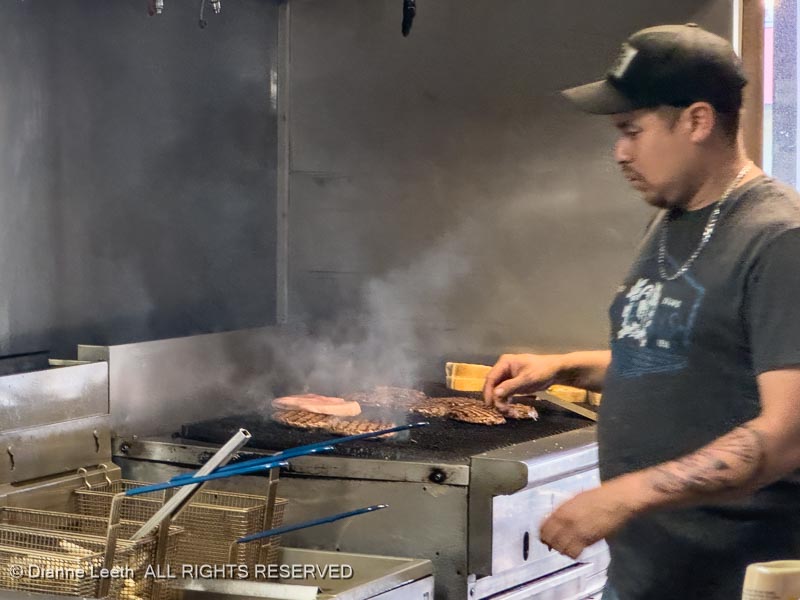
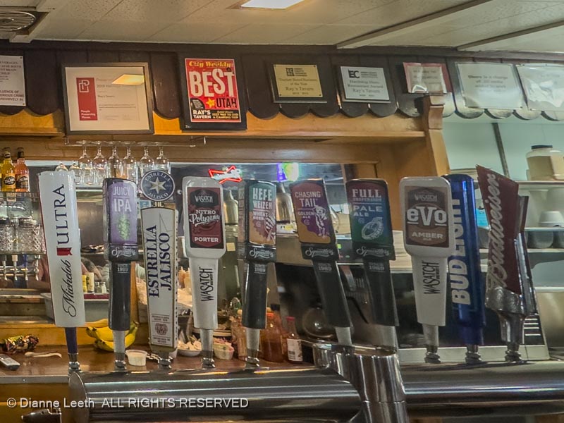
After setting up with electric and water hookups (no sewer hookup here), we dined at Ray’s Tavern, our favorite burger place in Utah. Ray, the original owner, is a distant cousin of Dianne’s but we still had to pay.
We downed our half-pound bacon cheese burgers with some Evolution Amber. Gone are the old 3.2 beer days in Utah. Beehive State brews can now have 5.0 ABF (alcohol by volume) content.
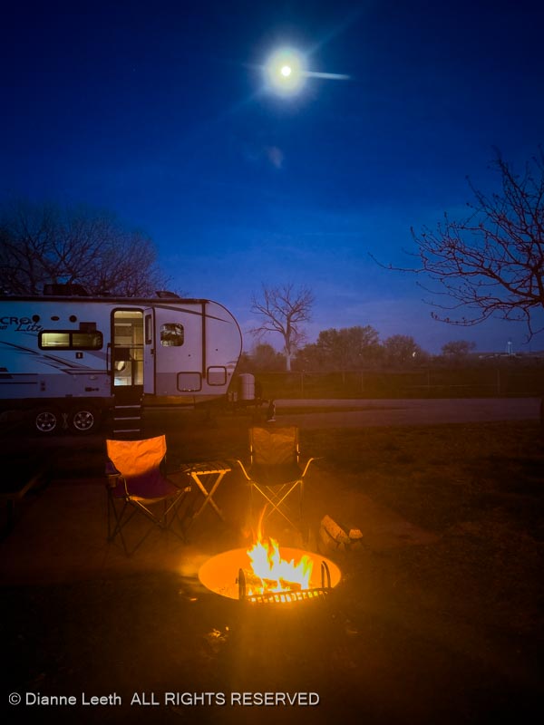
Back at the trailer, we built a campfire, downed small glasses of imported Spanish white wine and listened to trains occasionally whistle by. All were freighters – the 6:32 p.m. Amtrak hadn’t yet passed through by the time we headed to bed at 10:00 p.m.
We decided our layover day in Green River should be as unproductive as possible. That was a goal we easily achieved.
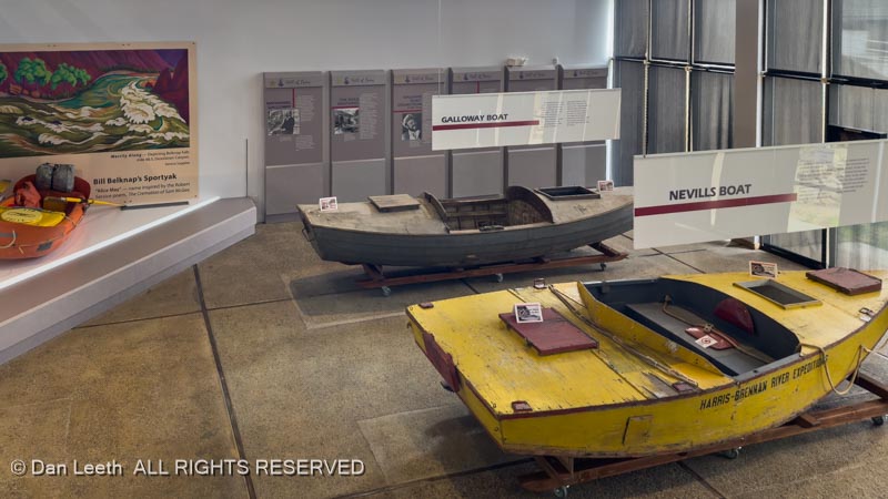
After a late breakfast (granola) in the trailer, we put on our TRs and hiked down to the John Wesley Powell Colorado River History Museum here in Green River.
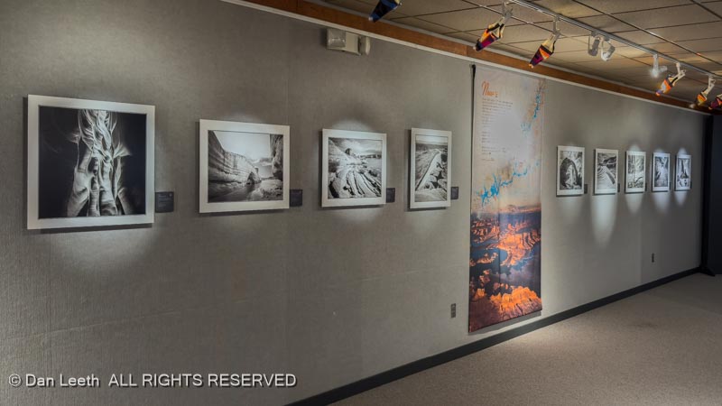
They had on display a series of beautiful black-and-white photos of Glen Canyon shot before the damn dam was built and the exquisitely beautiful canyon flooded.
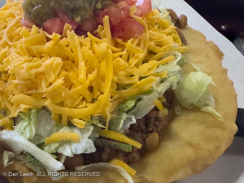
Before heading back to the campground, we stopped at the Invasive Weed (Tamarisk) Restaurant for a late lunch/early dinner. Dianne opted to go foreign (French dip sandwich) while I chose to have my favorite Indian food (Navajo taco).
No fire tonight – it’s too damn cold and windy out. We’ll just sit comfortably in the trailer with the heat on.
We awoke to rain in Green River. Between drops, we topped up with fuel, hooked up the trailer and headed to Hanksville, where we would spend five nights camped at Duke’s RV Park.
When we arrived, the RV office was locked. Rather than wait around for the Duke to return, we headed for Stan’s Burger Shack, one of Dianne’s favorite birthday dinner destinations (and it’s not even her birthday yet).
Back at Duke’s (two burgers later), Dianne texted the Duke, got our assigned campsite and we moved in. These are double-wide sites, giving us more room than a typical RV park site.
I’ve got a long list of back-of-beyond roads I want to explore near Hanksville, but around these parts, rain can turn otherwise navigable byways into quagmires of tire grabbing muck that can mire even a 4×4 truck. Last year, we came here with the same backroad intentions but rain made sure we accomplished nothing. In spite of what today’s angry skies are telling us, we hope that this visit will be more productive than last.