Dealing with Disappointment

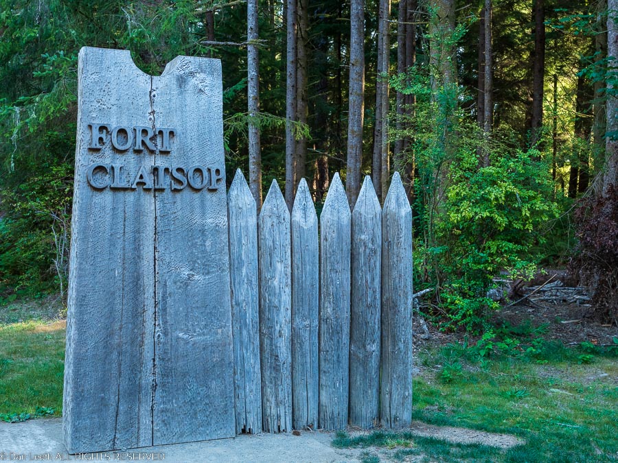
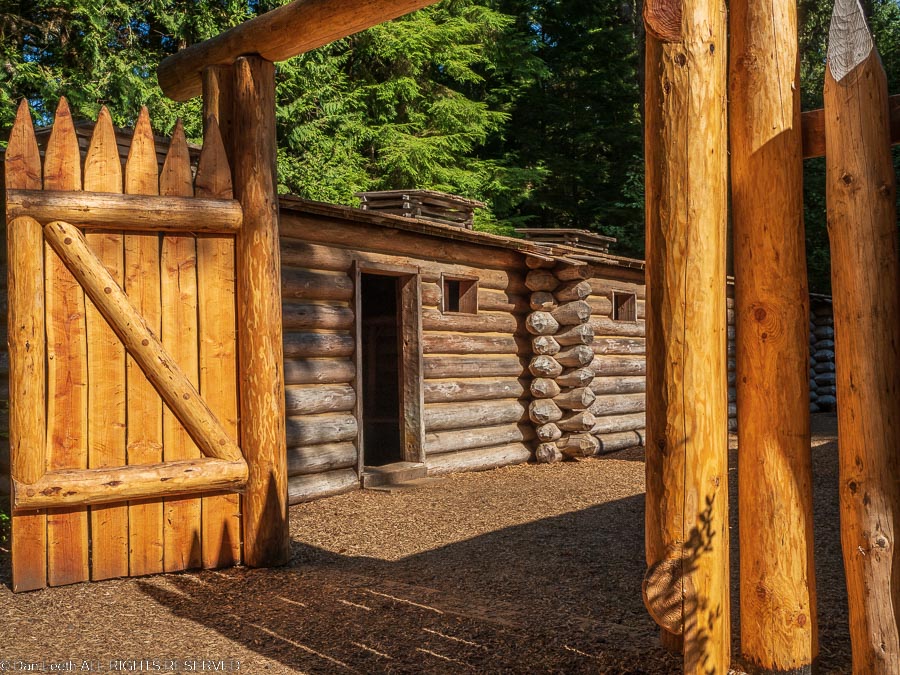
Today, we went back in history to the early 1800s when Meriwether Lewis and Bill Clark first camped in the area.  A few miles from Fort Stevens, the National Park Service manages a Historic Memorial site that has a replica of Lewis & Clark’s winter quarters at Fort Clatsop.  Life is so much easier today.
From there, we drove to the riverside town of Astoria and crossed on the bridge to the Washington side of the Columbia River.  Now I can climb tall, vertical cliffs and think nothing of it.   But I’m not a big fan of long, high bridges over deep water, especially when the bridge is in earthquake and tsunami country. 
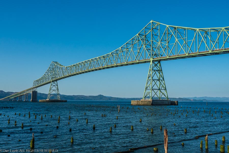
This narrow, two-lane bridge stretches four miles in length as it crosses the West’s largest river near its mouth.  The first part of the arcing span is high enough to let ocean-going freighters (and probably the average aircraft carrier) pass under.  Just crossing it was a white-knuckle experience for me.  To make matters worse, they were doing construction on the height of the span.  We had to stop behind a flagman atop the highest, steepest part of the span for what seemed like 2½ lifetimes, waiting for our turn to pass.  Fortunately, there were no earthquakes or tsunamis.
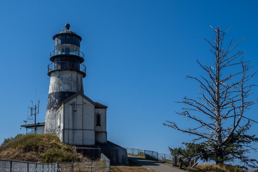
Safely on solid ground again, we drove up the Washington coast to Cape Disappointment State Park.  We toured the park’s Lewis & Clark Interpretive Center, walked to both of the Cape’s two lighthouses, checked out the park campground and had brews along the harbor in nearby Ilwaco, Washington.
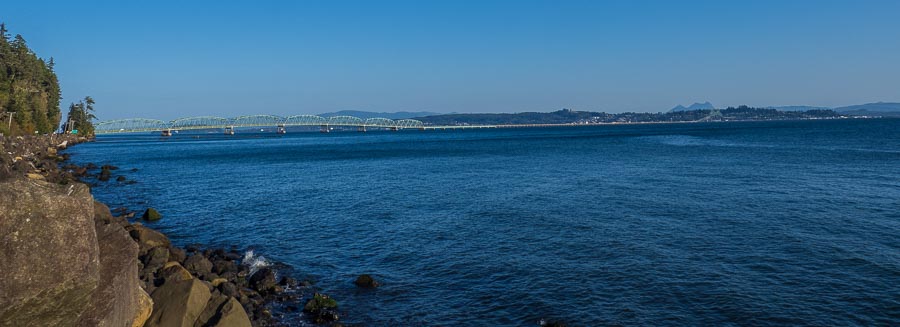
Then it was back to the bridge.  The construction crew was done for the day and there were no holdups this time across. 
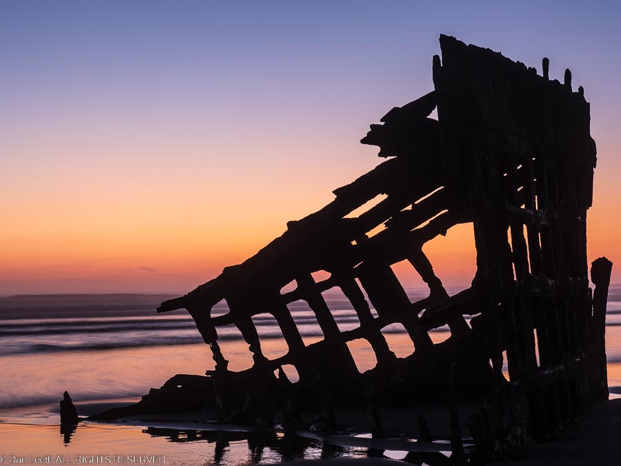
Back at Fort Stevens, we drove down to the beach and watched the sunset light enflame the sky behind the remains of a ship that washed ashore over a century ago.  Then it was back to camp where we sat outside with glasses of wine and looked up at the stars. 

Say “Cheese”

Our time up at Fort Stevens, we slid the slide-out in, hitched trailer to truck and headed south down the Oregon coast.  We had only 169 miles to cover and all day to do it, so there was no rush.  That allowed us lots of time to stop at numerous roadside viewpoints.

One of the stops Dianne wanted to make was the Tillamook Cheese factory, which not surprisingly is located in the town of Tillamook.  She envisioned stopping in, buying some cheese and bread (and wine?), and then having a European-style roadside picnic on the way out of town.

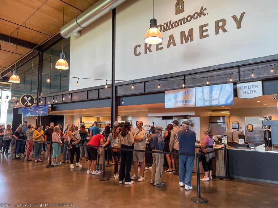
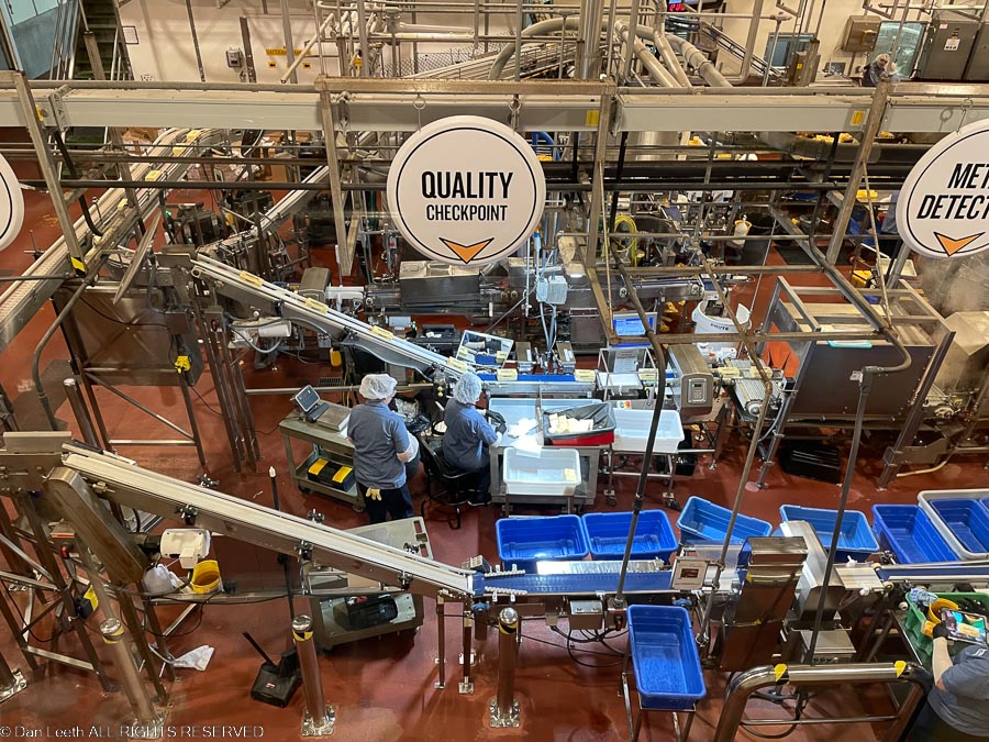
The Tillamook Creamery is huge and boasts a parking lot big enough to host a Denver-size traffic jam.  It was packed.  Even though they offer a long row of spots for RVs, we had to park across the street in an overflow lot.  The place was packed inside with long lines of people waiting for ice cream and food.  Their prices for cheese were higher than what we pay for the same thing at the local market.  They didn’t sell bread and their white wine was warm.  We did a quick, self-guided, overhead tour of the factory and fled the building.

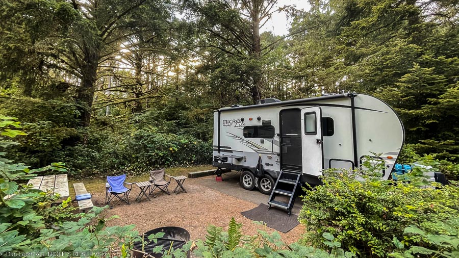
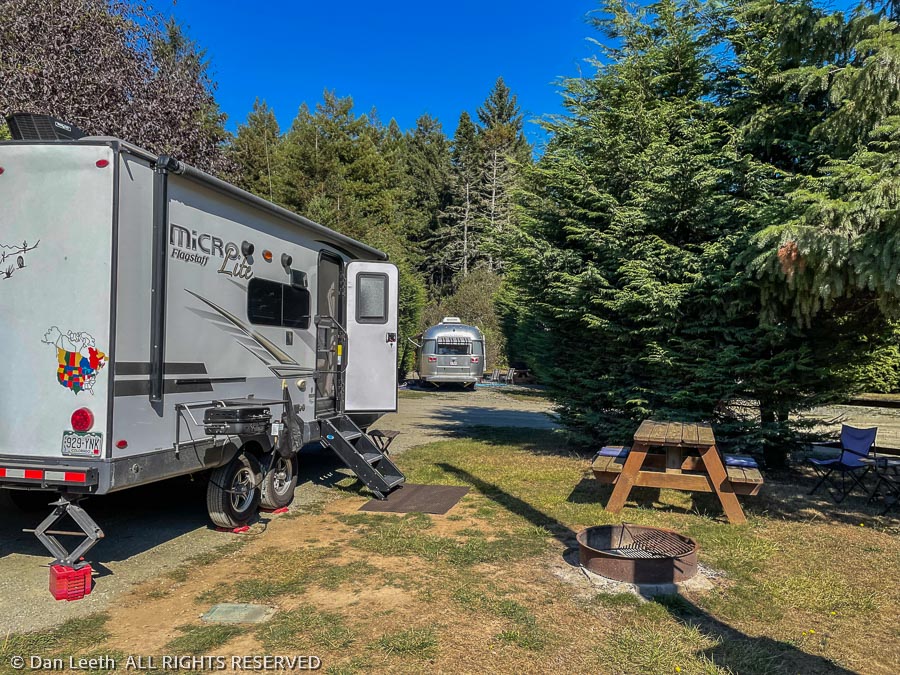
For the next five nights, we will be at the Carl G. Washburne State Park, which is located a half-mile walk from the beach (or so the sign promises).  It’s our first back-in site, and with Dianne’s excellent direction, I got the trailer wheels right where she wanted them, and I didn’t hit a single tree. 

After all this time bunking down in sites surrounded by lush growth, it’s going to feel strange to go back to camping in the desert.

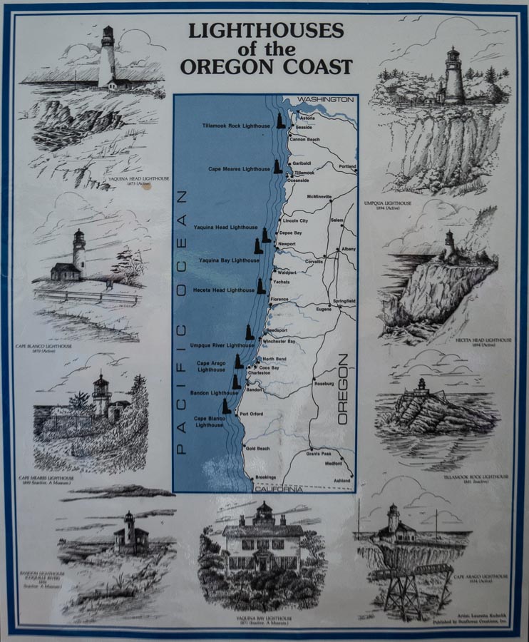
Another Lighthouse

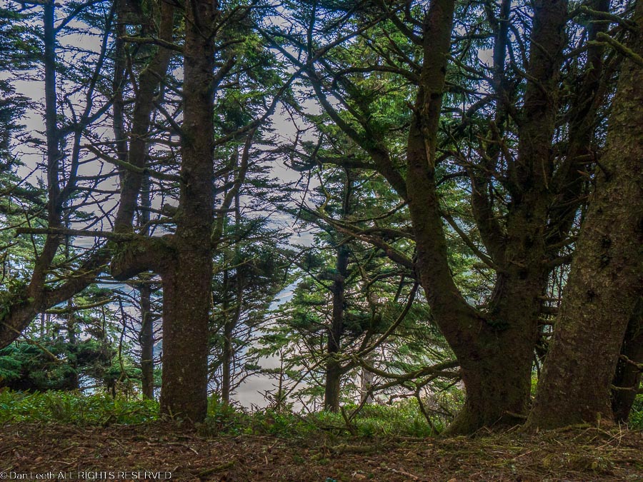
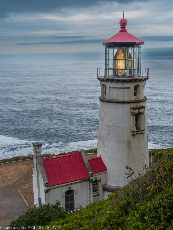
From our campsite, a three-mile trail leads to the Heceta Head Lighthouse.  After a bacon and eggs breakfast, we packed our packs, laced up our boots and set off down the trail at nearly the crack of noon.  The problem with hiking in this part of Oregon is that there are so many trees, you can’t see anything.  In the deserts where I grew up, the views extended nearly forever.  Here, the view is to the next tree. 

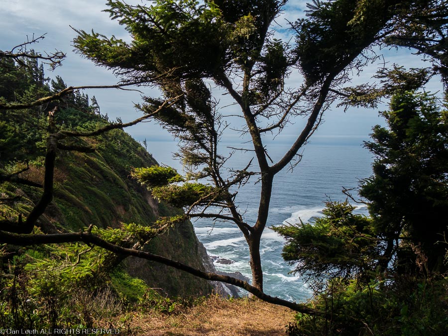
Even the cliffside viewpoints have trees in the way.

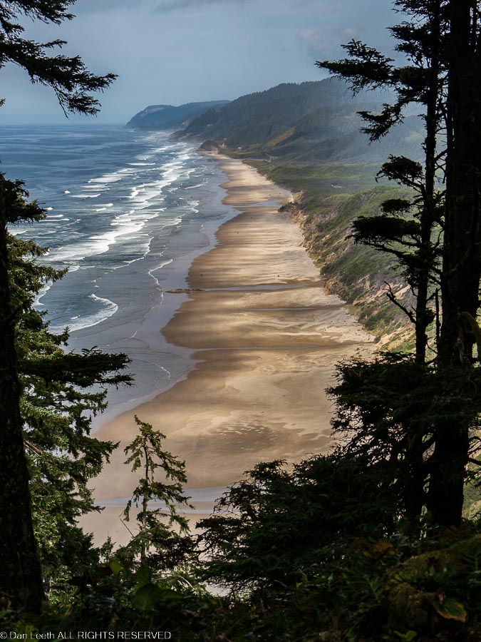
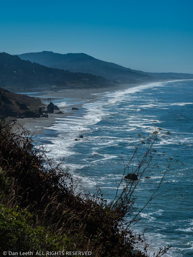
Finally, after covering nearly 2½ miles of serious up and down hiking we got to a break in the vegetation allowing us to gaze down on the sandy beach with waves breaking for shore. 

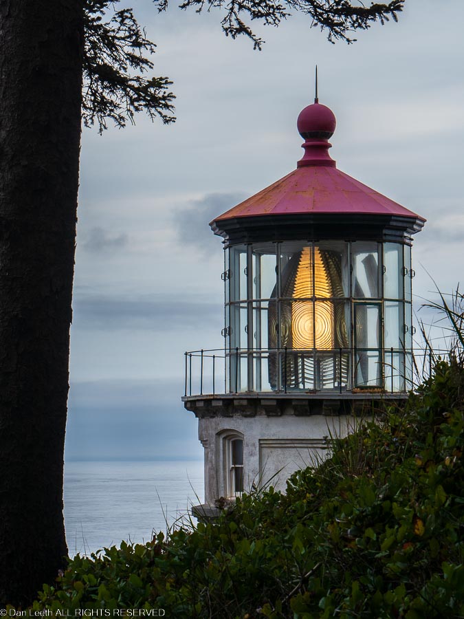
A half mile farther down the trail we reached the lighthouse perched on a cliff with plenty of views of ocean, beach and haystack outcroppings covered in bird guano.  Unlike most lighthouses we’ve visited, this one had the light operating.  No doubt, Tom Bodett left it on for us.

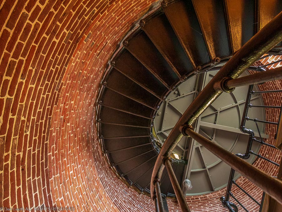
Volunteer docents were in attendance, which meant the door to the lighthouse was open and we could peer in at the circular staircase winding up to the lamp.  Unfortunately, we were not allowed to do anything but peer upward.  The stairs were closed.

We chatted with a few folks and the site, then with one final look at the structure, started back to camp. 

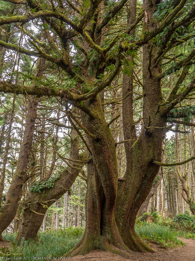
Still no views, but at least some of the trees were kinda cute.

The Oregon Coast

Camping is about roughing it in nature.  The guy in the half-million-dollar motorhome with the heated floors parked in the campsite across from us knows all about roughing it.  He suffers from getting only 89 channels on his satellite TV, which he must watch on his RV’s tiny, 60-inch TV screen.  For him, that’s roughing it.

For us, roughing it means no cell and internet coverage.  To remedy that issue, we drove 14 miles down to Florence, Oregon, where the Verizon people have so nicely placed one of their cell towers.
We figured we’d just find a Starbucks, order a brew and a hot chocolate and sit there for hours happily sending postings from our hotspot-linked laptops.  Unfortunately, the only Starbucks in Florence, Oregon, is a coffee counter located in the Safeway store.
Dianne suggested we head to the local library, which we did.  We grabbed a table in the back where we could quietly type away on our laptop keyboards, reviewing and deleting hundreds of spam emails.  The joys of 21st century civilization.

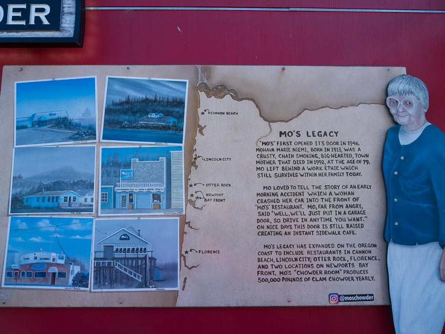
Now, let’s talk food.  Mo’s is a chain of seafood restaurants in towns on the Oregon coast, and their signs brag about their chowder.  One of their eateries was in Florence and we decided to try it out.  We parked in their lot and headed for the front door where a sign said “closed.” 

Mo’s here no longer opened on Wednesdays and Thursdays.  We had to settle for seafood at an alfresco table on a street in downtown Florence.

On the Beach

The next day, we (Dianne) decided that if we were going to spend all this time on the Oregon Coast, we should get out and walk on the coastal sand and do some “tide pooling.”  I grew up in the Arizona desert where Tide was a laundry detergent. 

My knowledgeable wife, who lived her formative years in the Great Basin Desert, explained to me that tide pooling involved looking for sea life in the pools of water that collect around shore rocks when the tide goes out.

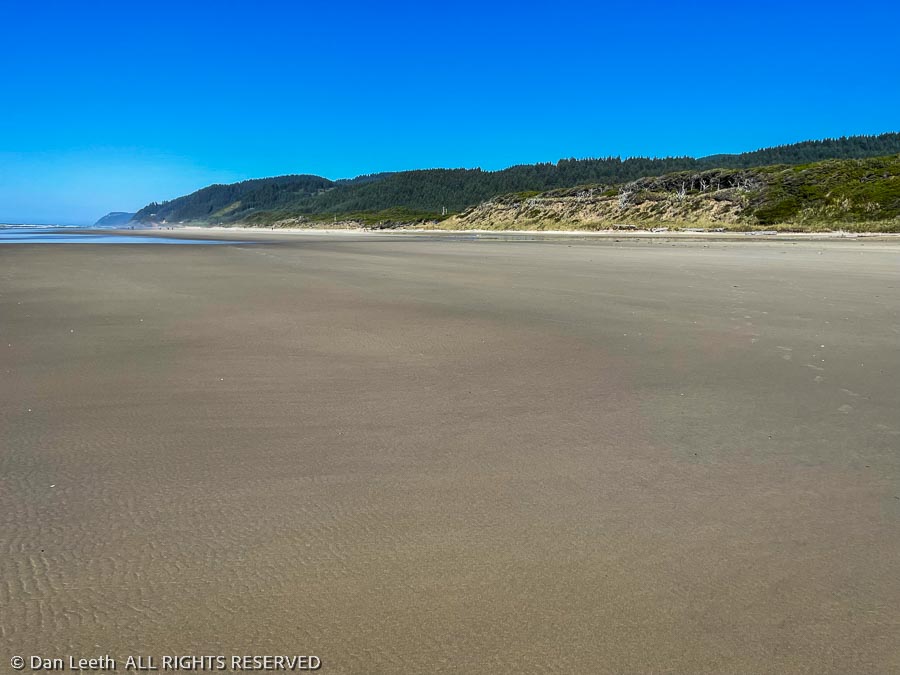
Problem was that the shoreline near where we were camped involved miles of just flat sand.  No rocks.  No pools.  No problem, she insisted.  Instead of wading around the rocks, we would just walk the beach and see what happened. 

Like most Americans, who will cruise the parking lot looking for a close-in spot at the workout center, we drove (not walked) to the beach and parked at the far end of the day-use area lot.  From there, an overgrown path through a tunnel of brush led to the five-mile-long stretch of sand.  Three kids and their mom were walking south on the beach, and we decided to follow them, a hundred yards behind.

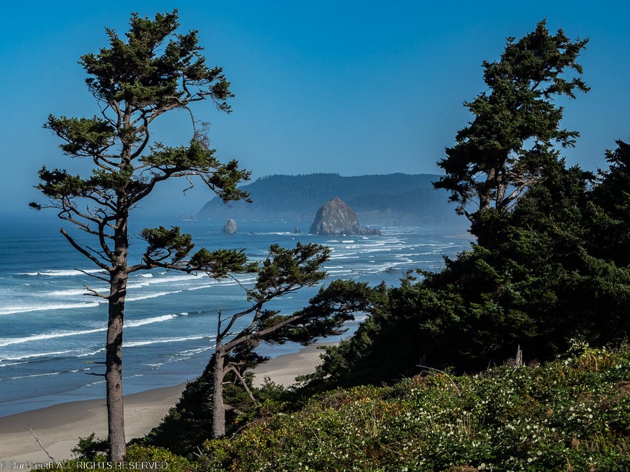
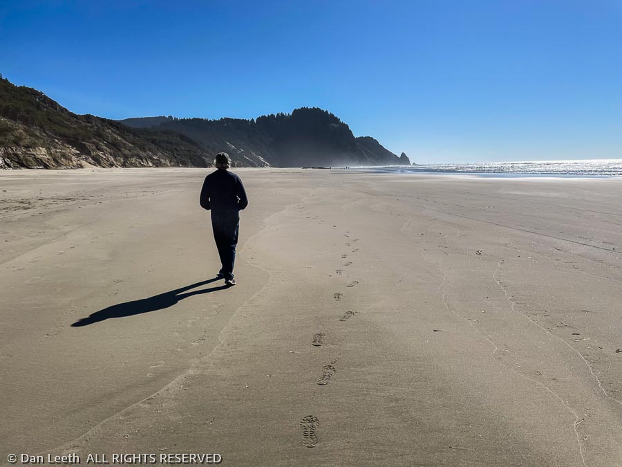
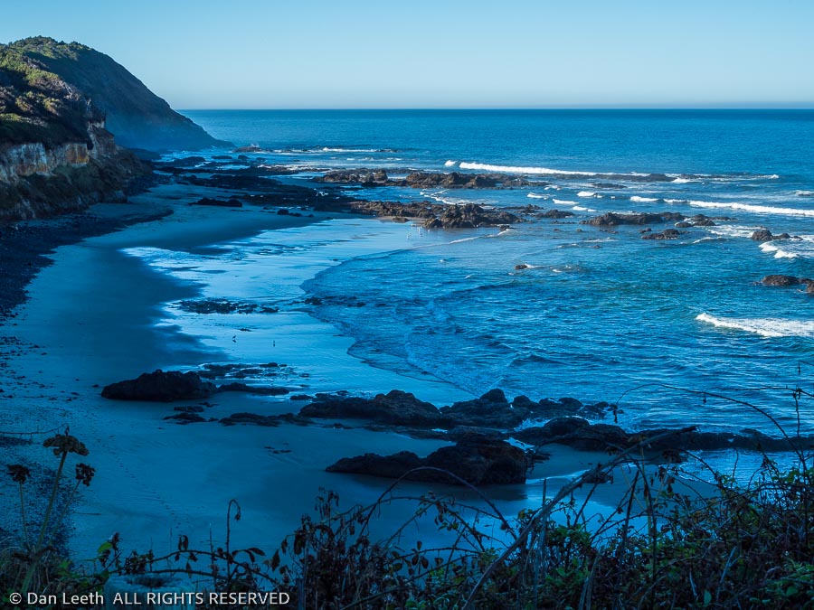
Walking on the damp sand left by a receding tide was easy.  We strolled along, inhaling the salty sea air and feeling the gentle caress of the ocean breeze.  Between fingers of misty fog, the sky displayed the bluest shades we’d seen yet on the coast.

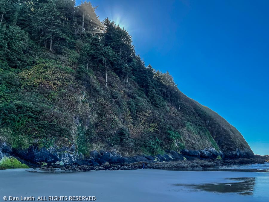
A bit over a mile from our starting point, we reached the cliffs bordering the south end of the beach. 

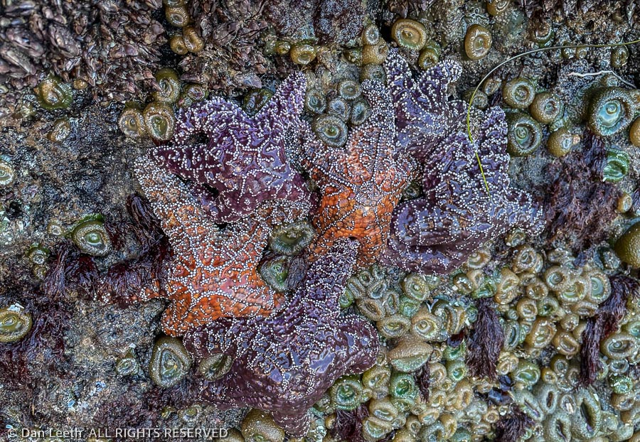
There, in pools formed by the cliff-fallen rocks, we saw starfish and sea anemones.  We were tide pooling, and Dianne was happy as a clam that didn’t make it into Mo’s chowder.

Finally, Mo’s

On our last full day in Oregon, we headed 40 miles back up the coast to the town of Newport where we would meet up with Dianne’s niece who lives a bit farther to the north in Lincoln City.  Without the trailer in tow, we took the opportunity to stop at as many scenic overlooks as we could.

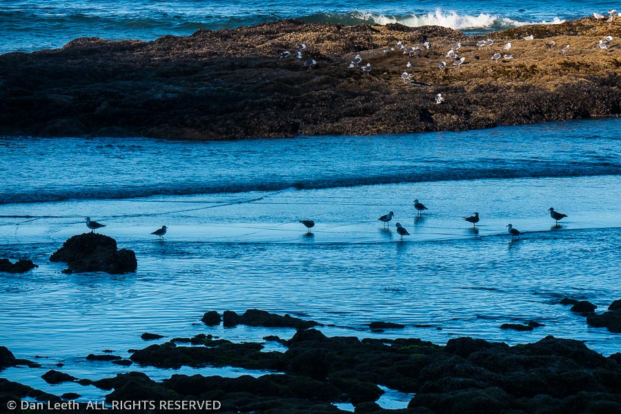
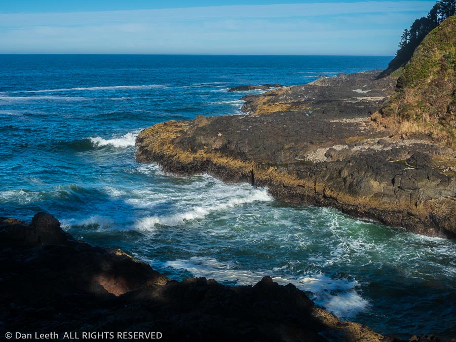
We watched gulls forage for food and waves break over rocks.  We walked down to the Devil’s Churn, a narrow, rocky inlet filled with foaming froth as the waves broke in. 

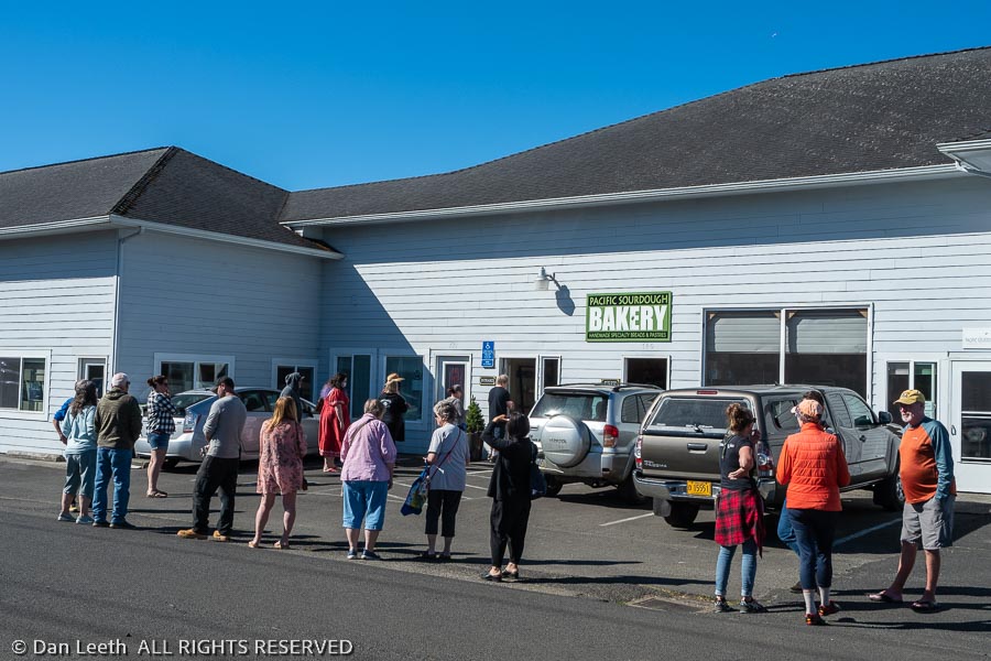
In the town of Waldport, we stopped at a bakery Dianne had read about.  The writer bragged about their sourdough bread.  I figured it was just paid, advertorial hype, but apparently the locals believed in the product. 

On a Saturday morning, more than a dozen stood in line waiting to get in and spend their money.  Dianne joined the line and an hour later, came out with four loaves of sourdough plus cookies, cinnamon rolls and a new ballcap.

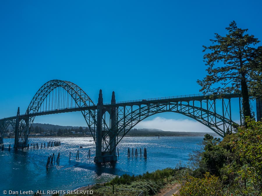
Reaching Newport, we had a brew at a local brew pub, then wandered by the shops and fish processors along Bay Street.  We walked the sidewalk partway across the picturesque Yaquina Bay Bridge…

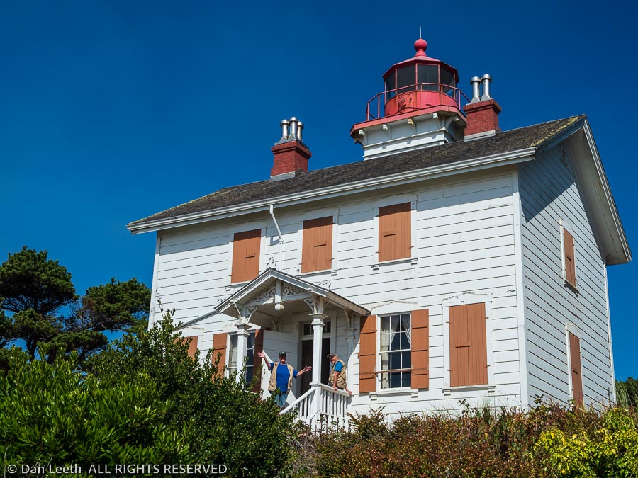
…and then hiked out to the Yaquina Bay Lighthouse, the only wooden lighthouse in Oregon.

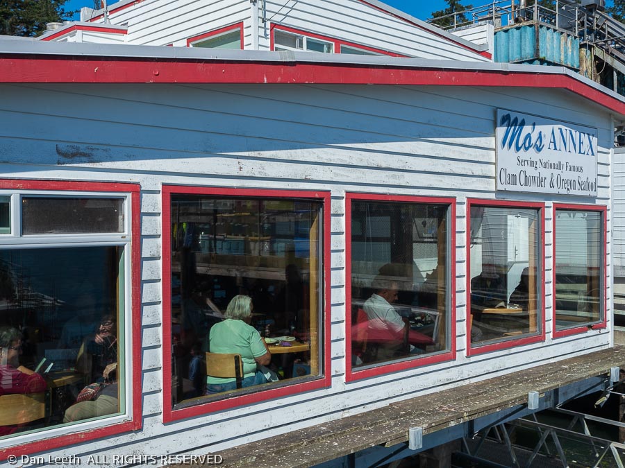
Come mid-afternoon, we decided to have lunch (or was it dinner?).  Newport has not one, but two Mo’s restaurants – the Original and one known as the Annex.  The Annex version sits on the waterfront, so we headed there. 

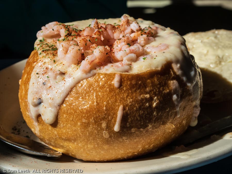
Of course, we tried their chowder, opting for the version served in sourdough “bowls.”  While the chowder we had at Buoy 9 near Fort Stevens was our favorite, this was good enough that Dianne bought a bag of “starter,” which is a “just add milk” condensed version of the soup.

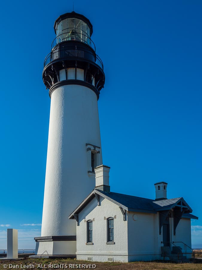
While waiting to hear from the Lincoln City niece, we drove out to the Yaquina Head Lighthouse, Newport’s second lighthouse. 

It was cold and the wind was howling, so we didn’t spend much time there.  We still hadn’t heard from the niece we were supposed to meet, so at 6:00 p.m., Dianne sent a “sorry we missed you” message to her and we headed back to our campsite.

California Bound

With over 200 miles to cover, Sunday would be our longest travel day on the coast.  We got up before the sun, ate breakfast, packed what needed to be packed, drained the black and gray water tanks, slid the slide out in and headed for the California redwoods. 

For camping, I could have reserved a spot at my choice of three California State Park campgrounds, none of which have hookups.  One has a 21-foot trailer-length limit would have been tight for our 22-foot trailer.  Of the other two, only one has a dump station.  We can get by without water and electric hookups, but for our weeklong stay, we need a place to dump sewage.  Plus, deep in the redwoods, we’d need to use a generator to recharge the battery, which is noisy and takes time. 

Instead, since we are elite, gold-plated, premier, diamond-encrusted KOA royalty, we opted to stay at a nearby KOA.  They gave us a nice enough site and we have full hookups.  We don’t plan to spend much time around camp anyway.

That said, we spent the entire day Monday at the KOA never leaving the grounds.

Hello Verizon

I spent Monday morning working with Verizon trying to find out why with three bars of LTE coverage, my download speeds were less than 2.5mbps while Dianne’s phone was getting 40mbps downloads.  The Verizon folks, even the one who spoke English, were nice, but they couldn’t solve the problem. 

Come afternoon, I finished a murder mystery book I had been reading about musically inclined crustaceans (“Where the Crawdads Sing).  Dianne read the book and said it was a real page turner that I would enjoy.  She was right.

Tree Time

Today would be our introduction to the redwoods.  The KOA provided handouts with descriptions of some hikes and drives in the area, and I had some topo maps of the Redwoods National and State Parks.  We chose to hike the Boy Scout Tree Trail that leads to the famous Boy Scout Tree. 

(Okay, I’d never heard of it before, either, but I once was a Boy Scout and if the organization had a tree, I wanted to see it.)

We followed the KOA directions up the narrow access road that led to the trailhead where only a few other cars were already parked.  Packs loaded, we set off up the 2.8-mile trail that led past the Scout tree and on to a small waterfall.

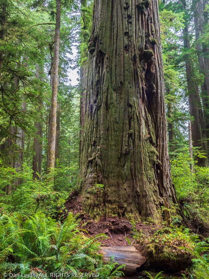
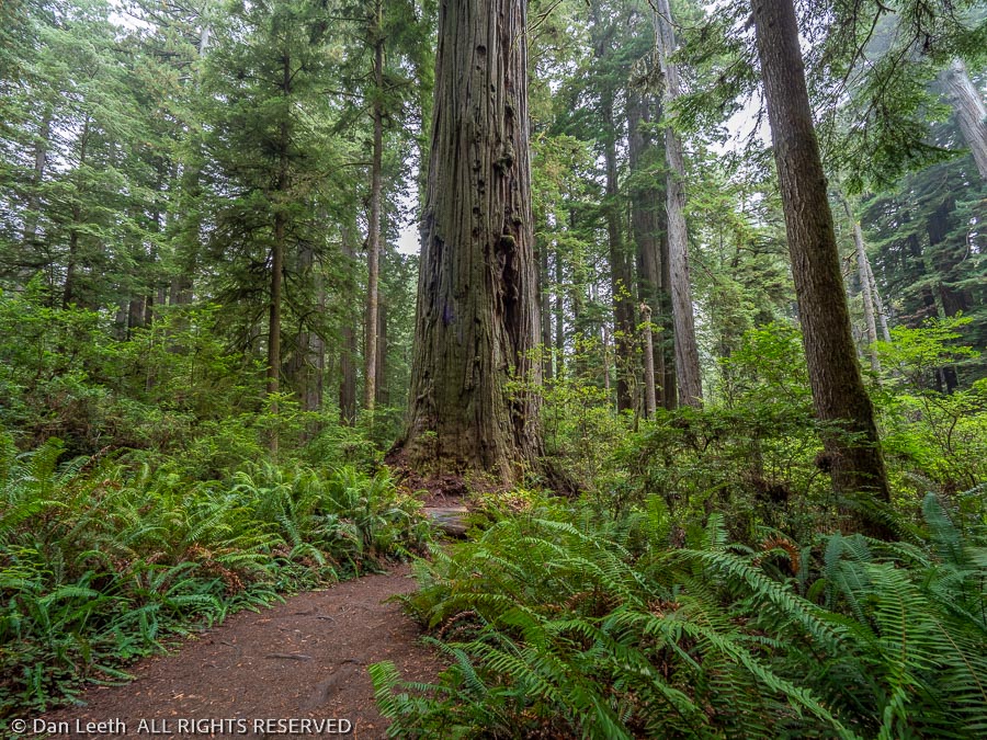
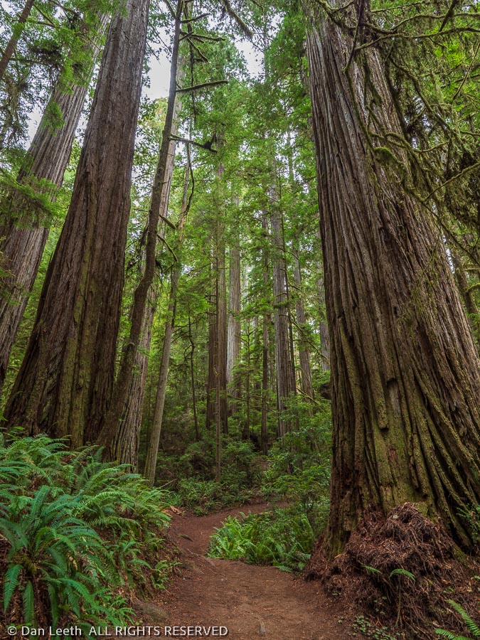
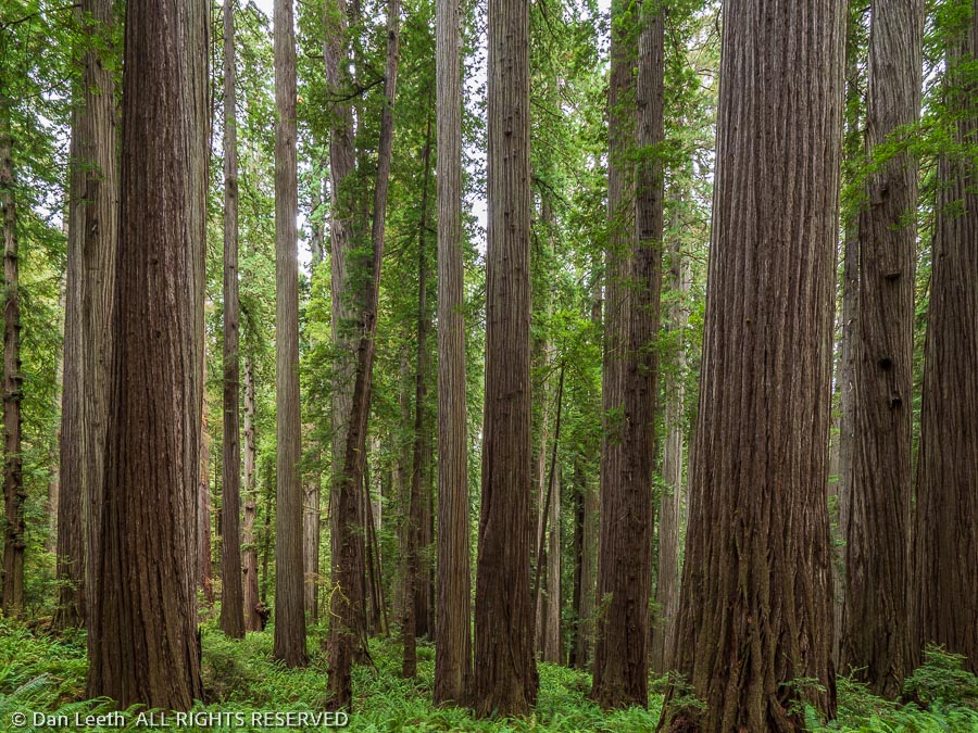
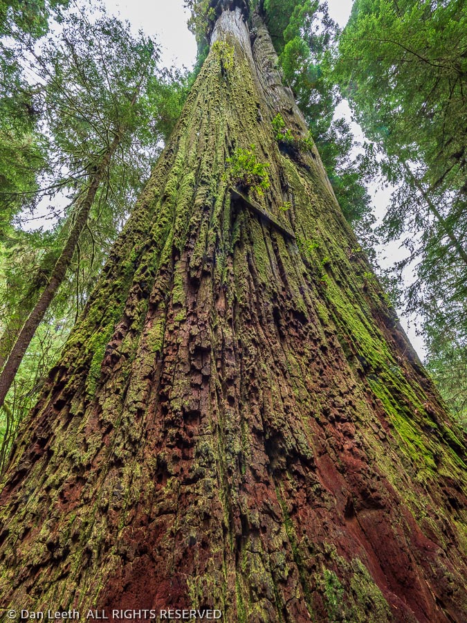
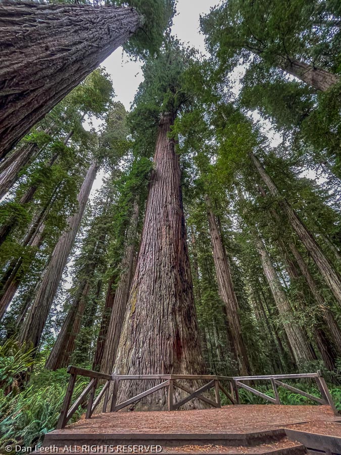
We walked into the forest up the wide, dirt trail where neither bikes nor dogs are allowed.  With trunks reaching 20-plus feet in diameter and heights taller than a 30-story building, it was like walking down a street lined with brown-barked skyscrapers. 

We’d stop along the trail and listen.  There was nary a sound.  Not a bird singing.  Neither chipmunks nor squirrels racing about.  No deer, elk, coyotes, bears nor big-foot sasquatches rustling distant leaves.  It was just dead silence, a rare treat in our world of constant noise.

I brought only one camera body, which had my wide-angle lens attached.  I hoped that with this, I could somehow capture the magnificence of the setting.  The effort was futile because the grandness of the redwoods goes beyond the five senses.  It’s all about how it feels to be dwarfed by such towering grandeur. 

“It makes you feel insignificant,” a fellow hiker summed it up later in the day.

The feeling of insignificance ended at the Boy Scout Tree when we were invaded by a class of about a dozen fifth graders here on a field trip with their teacher and chaperones.  While they broke the spirit of the place, it was fun to see their exuberance as they climbed the tree bark and raced around the perimeter of the 23-foot-wide fused double tree (class record set by one young man was 19 seconds).

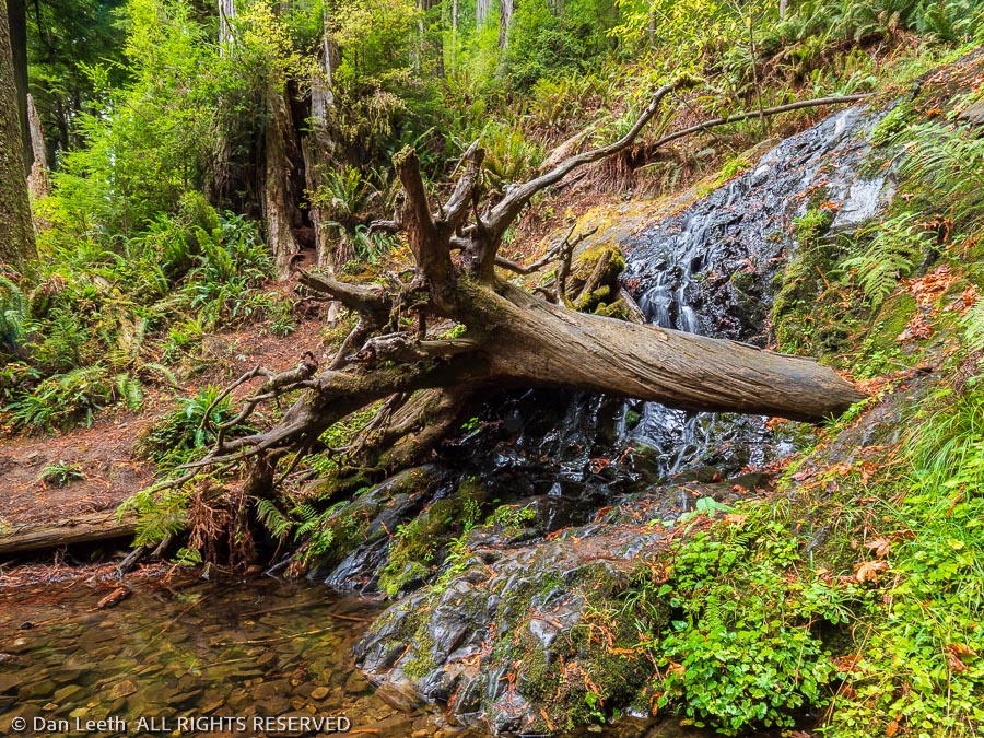
Escaping the hoard of 10-year-olds, we continued up the trail to Fern Falls, which late in a drought year wasn’t flowing much. 

Then it was back down the trail where we frequently met other hikers coming or going.

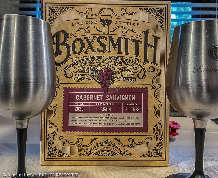
Back on the roadway, we stopped at the Stout Grove where a half-mile trail loops through the redwoods.  From there, it was back on the highway to home where sandwiches of barbecue pork would appear accompanied by some of the worse box wine ever.

“Tastes like rubbing alcohol with a touch of raspberry,” Dianne declared.

Bad wine is just part of the roughing it element of camping.

Back for Gas

It was raining this morning, which made it a nice day for playing catchup in the trailer.  The precipitation ended, and after a bit after lunch, we made a 21-mile shopping run up to Bookings, Oregon.  There, Dianne could buy groceries with no sales tax and I could fill the tank with gas that cost at least $1.50 less than what it cost in California.

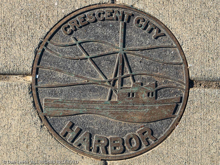
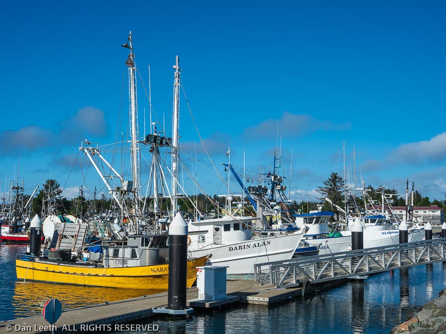
On the way back to camp, we stopped by a seafood market by the harbor where Dianne could by some clam chowder to go.  We then walked around, admiring the flotilla of fishing boats moored there.  These are the guys who brave it all to keep all of us supplied with fresh, wild-caught sea food.  Thanks for your service, I was tempted to tell them.

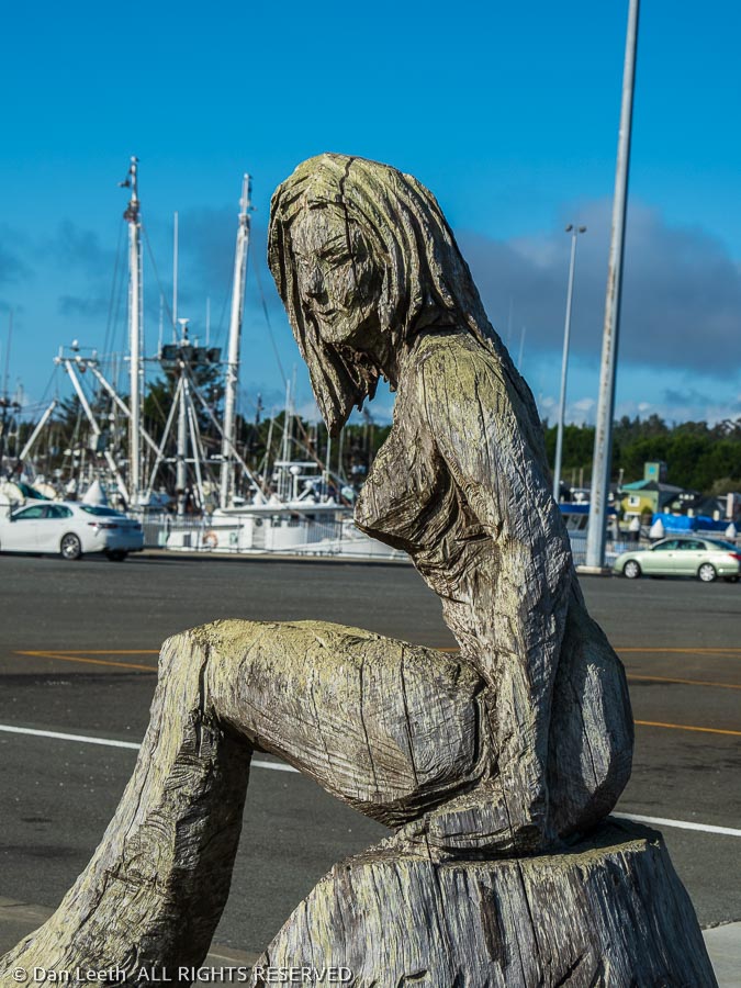
Departing, we passed a statue of a mermaid at the corner of the docks parking lot.  Daryl Hanna definitely did not pose for this one.

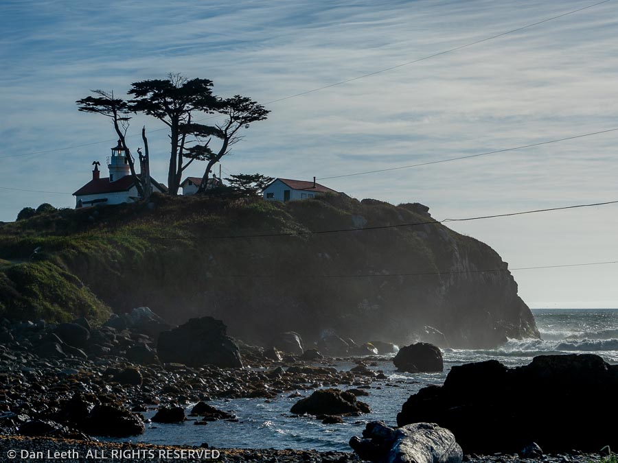
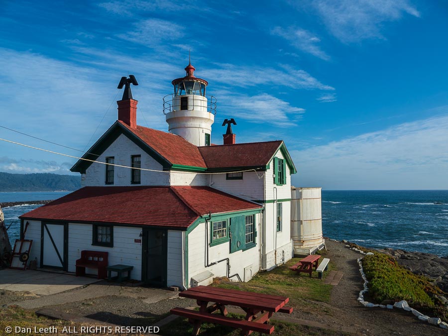
With time to kill, we decided to stop by yet another lighthouse, this one, the Battery Head Lighthouse in Crescent City. 

We had to wait for the tide to roll out before we could make the walk up to the structure, which was one of the most picturesque we’ve seen yet.

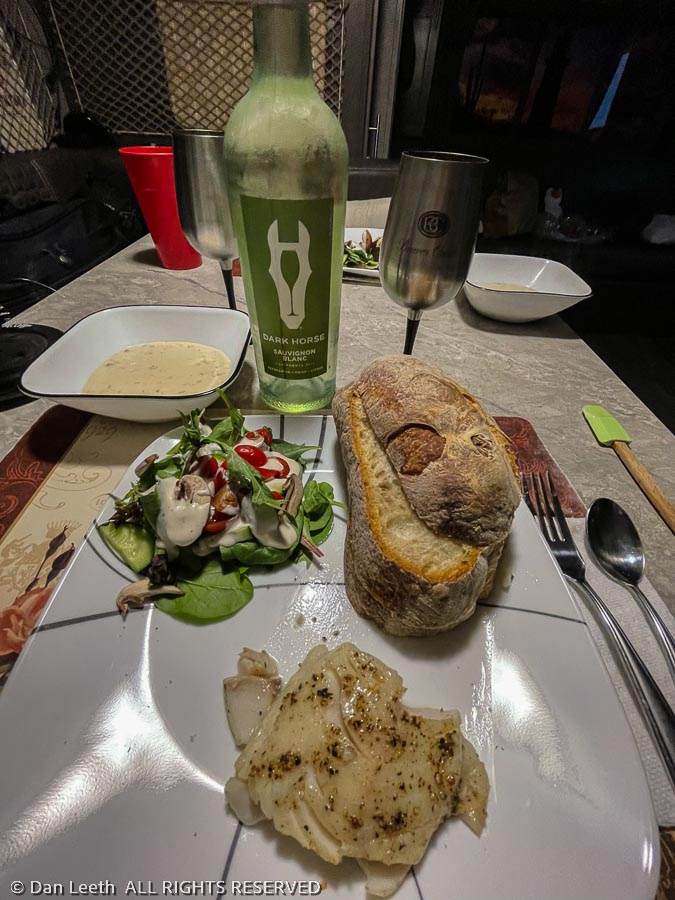
Back at the trailer, Dianne and I cooked up a delicious meal of clam chowder and the black cod we bought fresh off the boat back in Newport.  Well, my lovely wife actually did all of the cooking, but I ignited the grill and opened the wine.

We all have our jobs to do.