Life Below the Dam

Our friends asked if we had ever explored Eleven Mile Canyon.

“Where’s that?” we asked.  It turns out that Eleven Mile is the canyon through which the South Platte flows below the dam that forms Eleven Mile Reservoir and Eleven Mile State Park.

Intrigued by their description of the terrain, we decided to spend the day exploring this canyon below the dam.  We left the state park on its main entrance road, a county road pocked with more craters than the lunar surface.

In Lake George, we turned down another county road, this one is somewhat better condition, and got to the start of the Eleven Mile Canyon Recreation Area.  A Pike National Forest representative sold us an entry permit for $10.

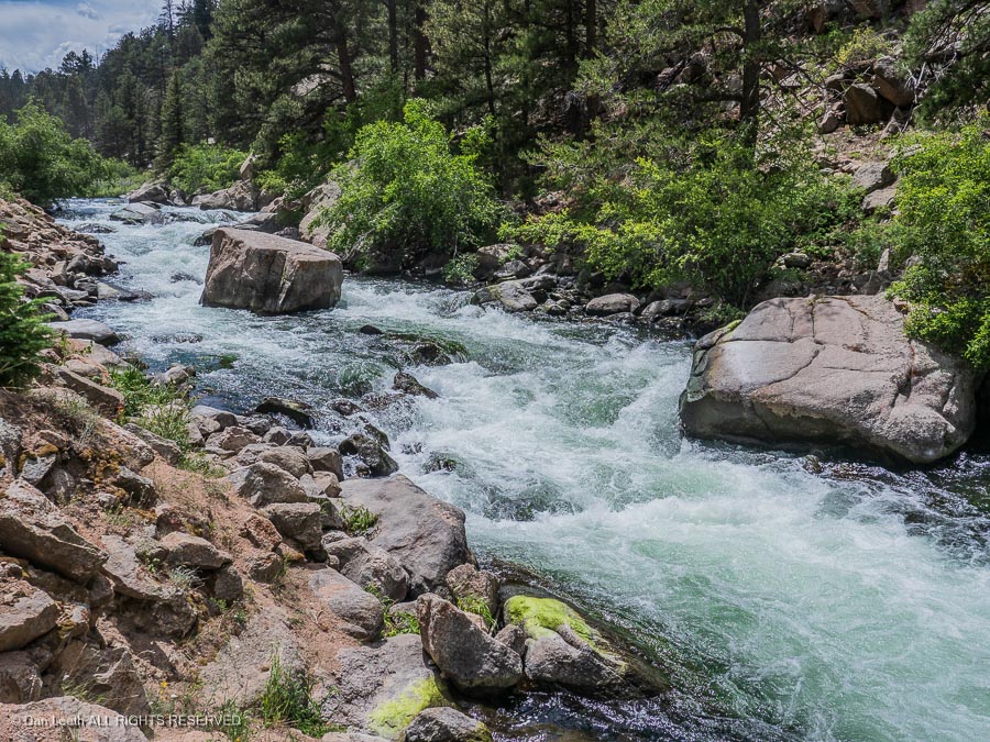
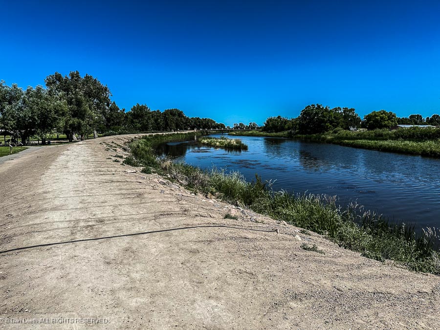
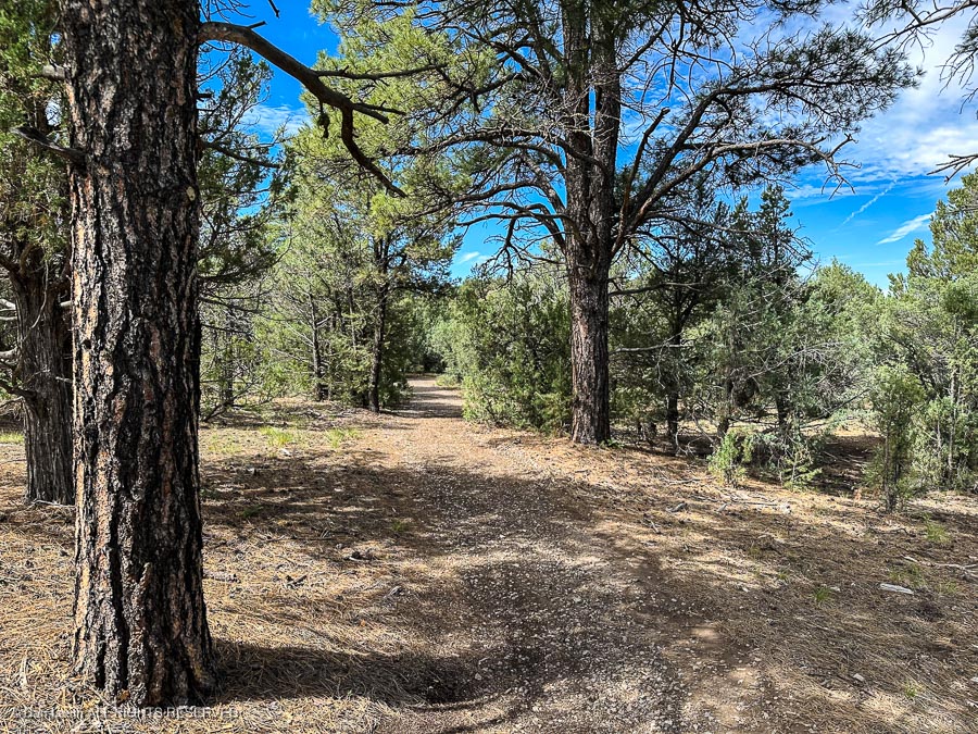
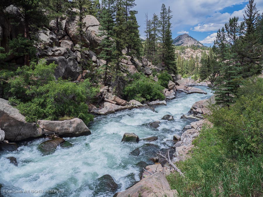
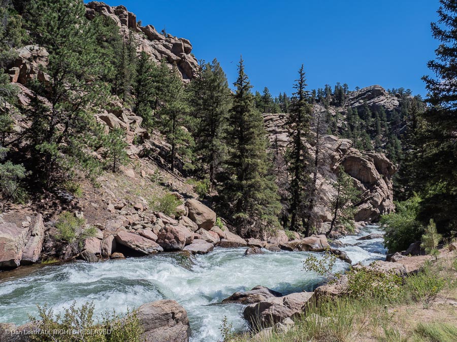
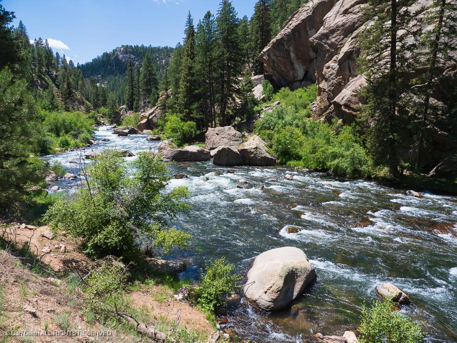
Through a forest of pine and spruce, we followed the stream as it thundered over boulders and through chutes that would make a pro kayaker wince.

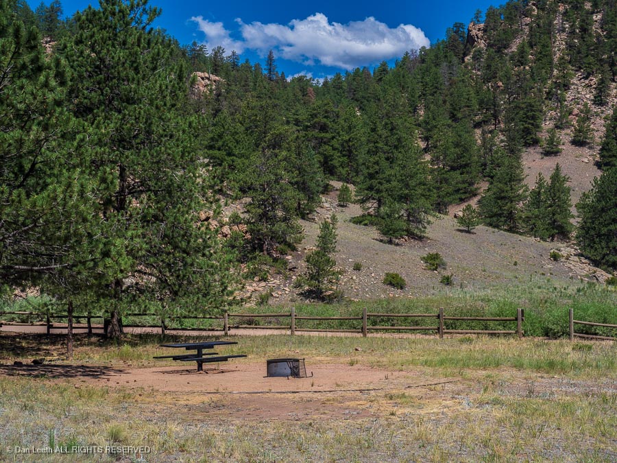
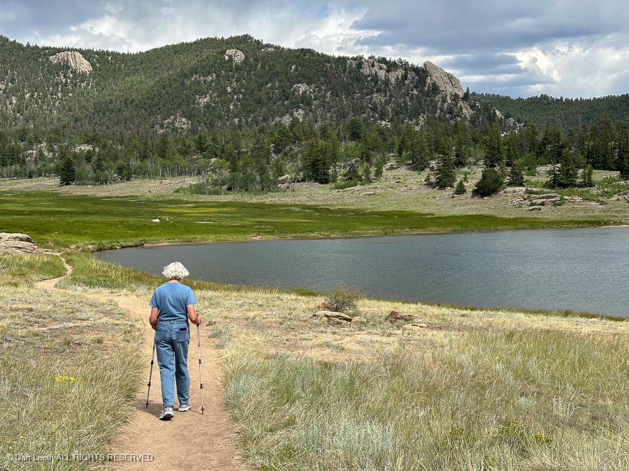
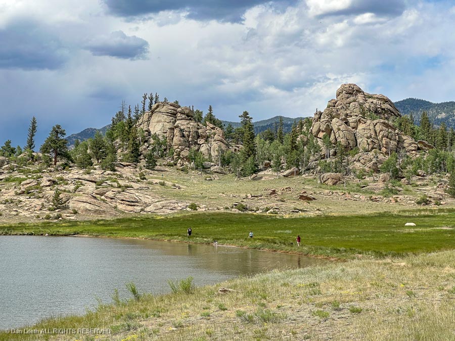
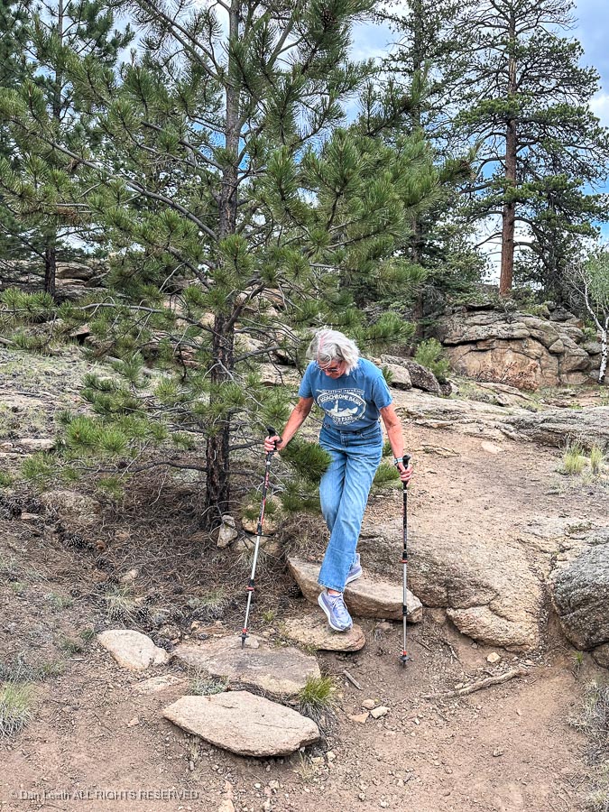
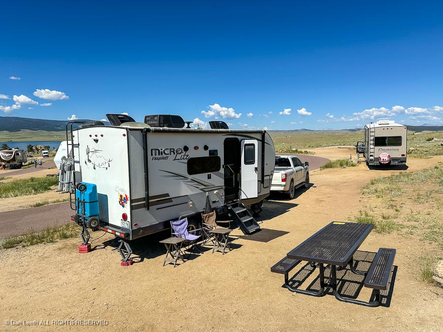
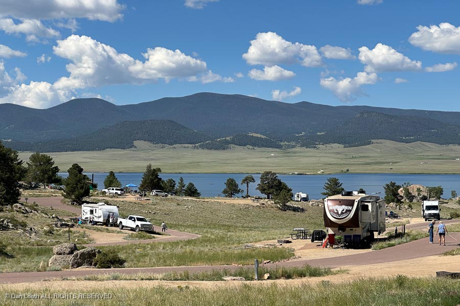
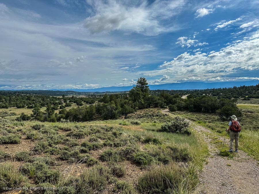
Dianne wanted to do a hike, so we stopped at the nearly empty Riverside Campground…

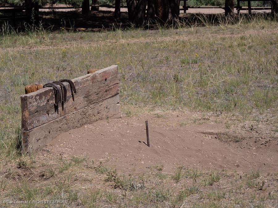
…which we found comes complete with horseshoe pits. 

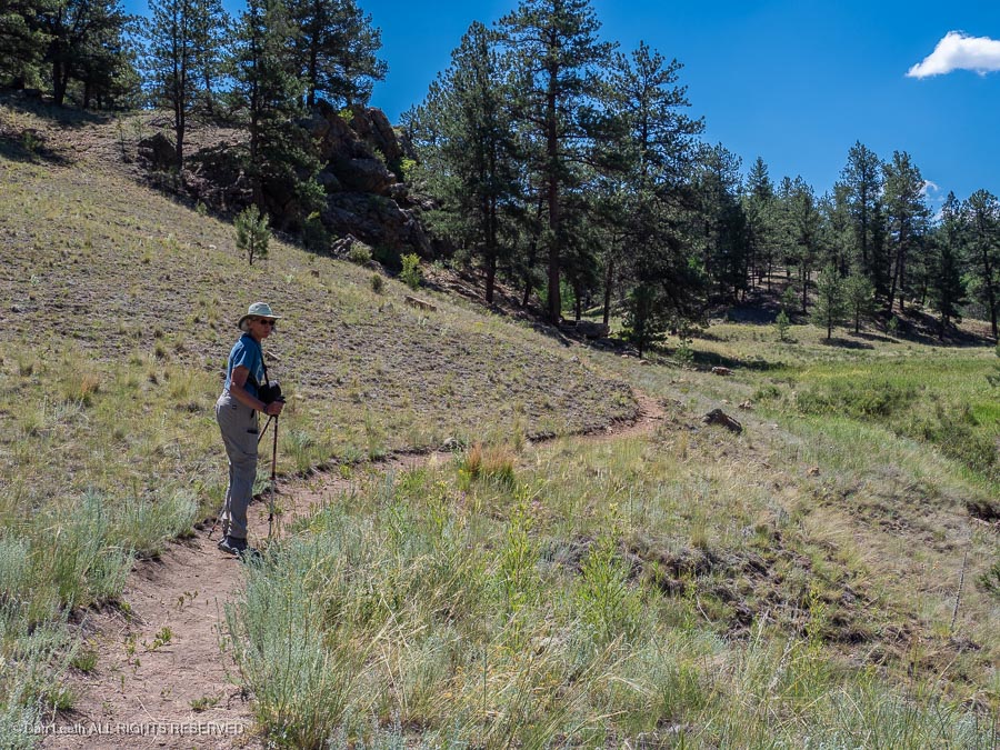
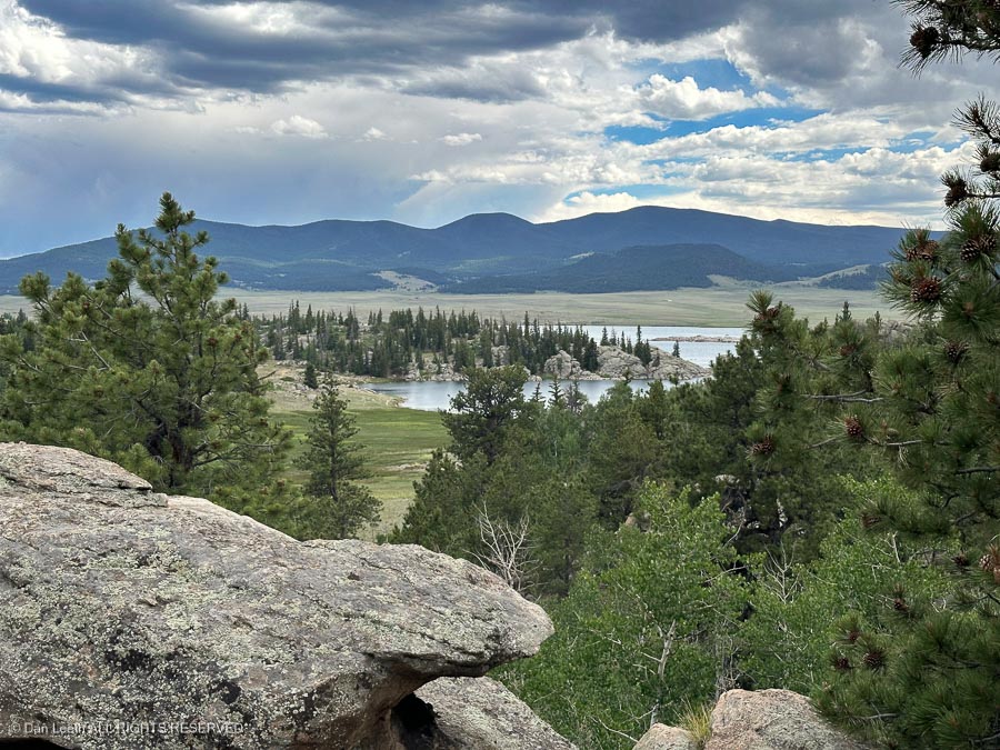
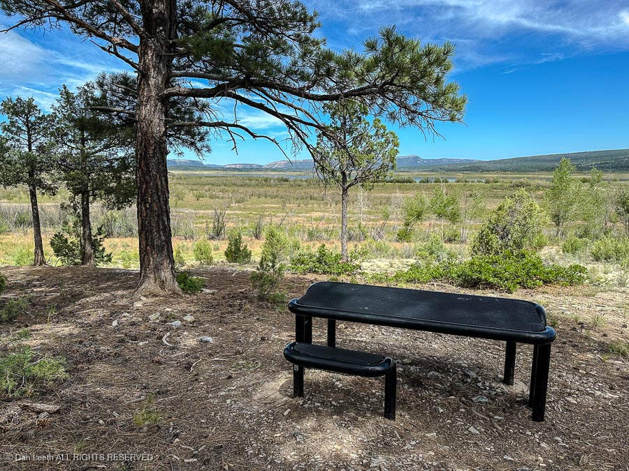
From there, we would hike the 1½-mile long Hard Rock Trail to an overlook.  It was relatively easy…

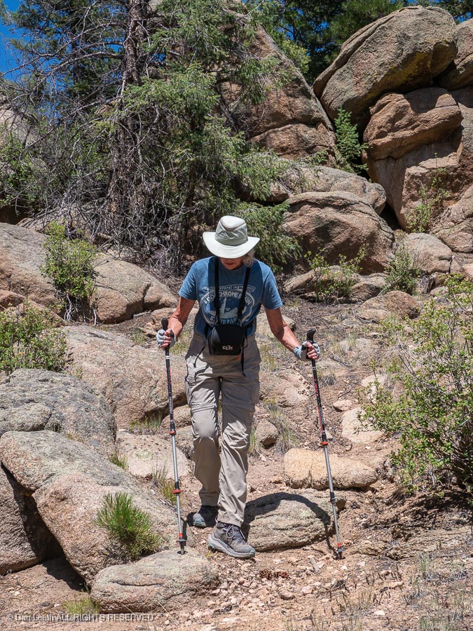
…and Dianne did fine with her new artificial knee.

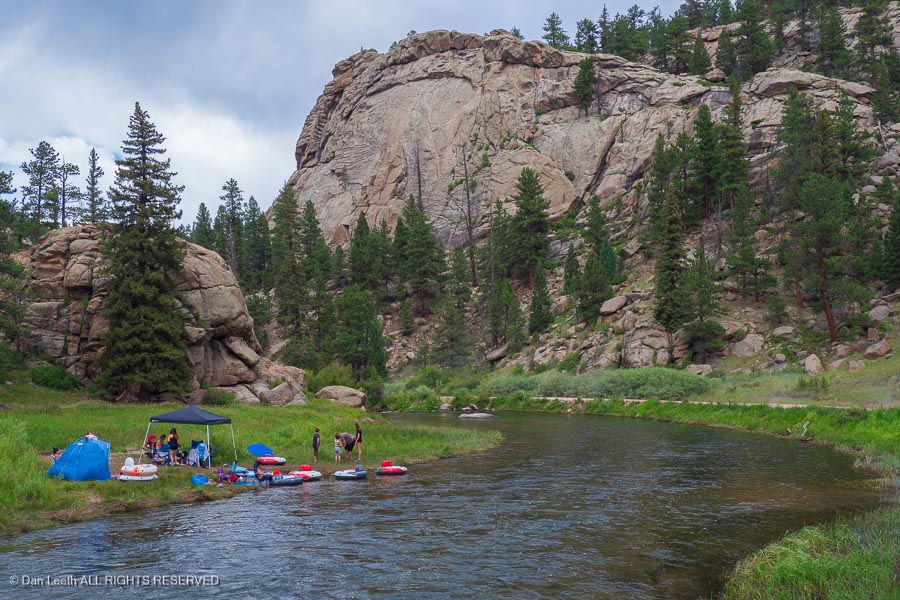
Continuing up the river, we passed a picnic area where folks were having fun beside the stream. Some of the cars parked here were not from Texas.

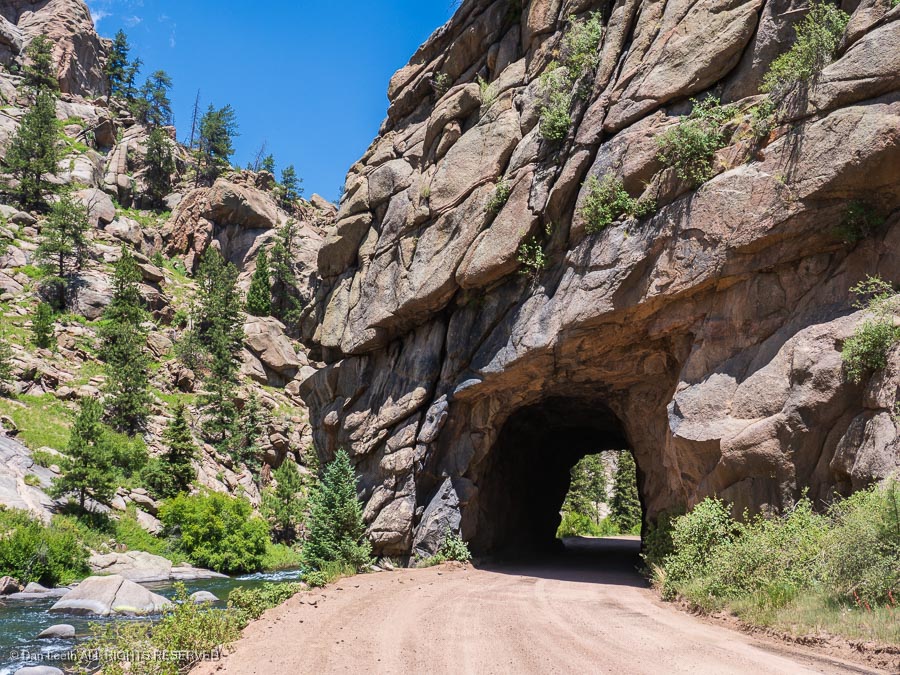
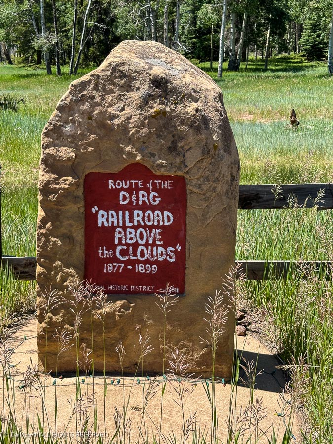
We passed through three old railroad tunnels left from the days when the Colorado Midland chugged up this canyon…

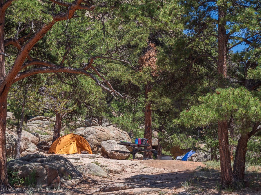
…and a trio of additional campgrounds, most of which seemed better suited to tents than trailers or motorhomes.

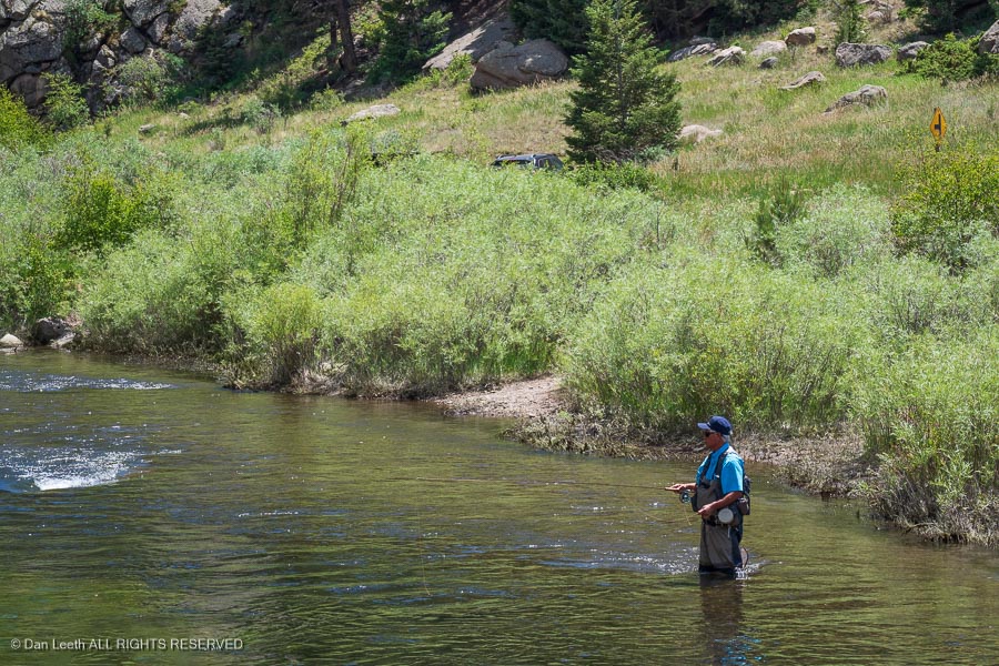
We passed dozens of anglers, flinging their flies into the water.  It’s catch and release in the upper waters.

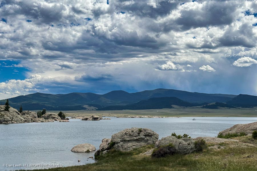
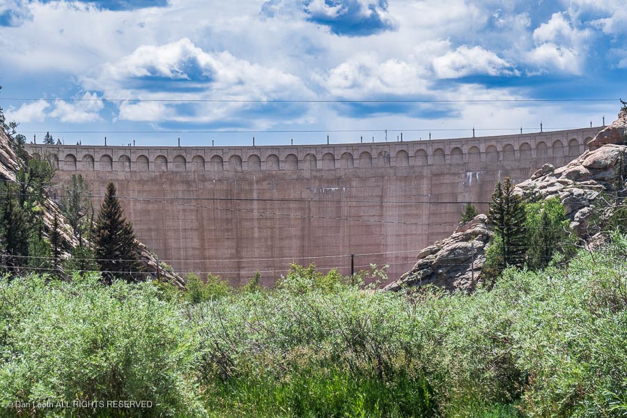
The road ended at the dam.

We turned around and headed back…

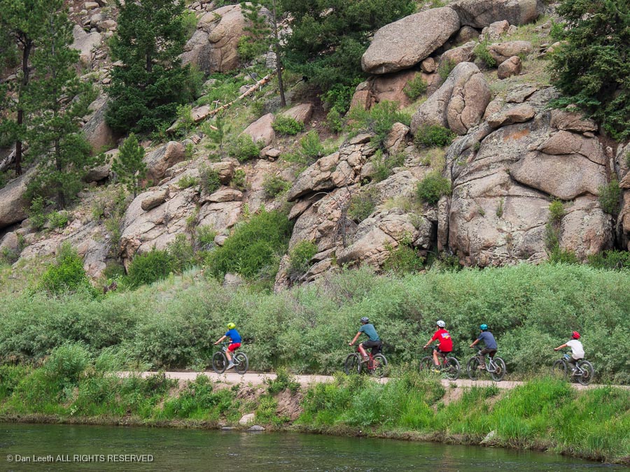
…eventually passing a group of Boy Scouts on bikes.

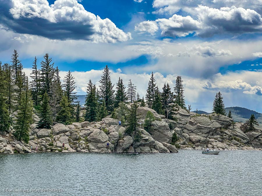
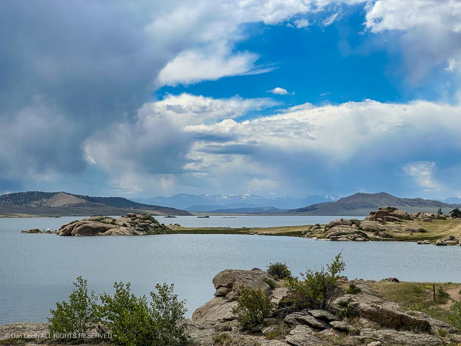
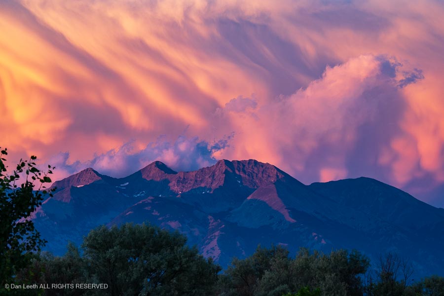
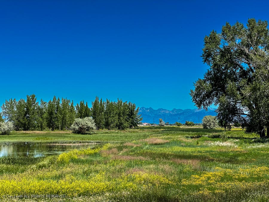
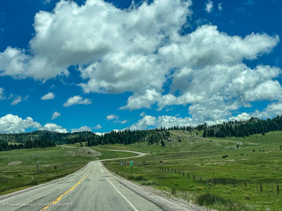
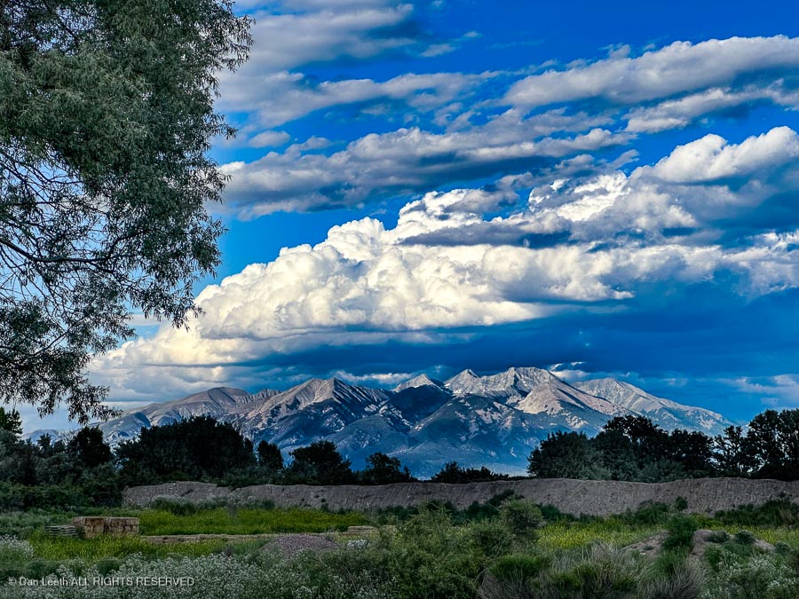
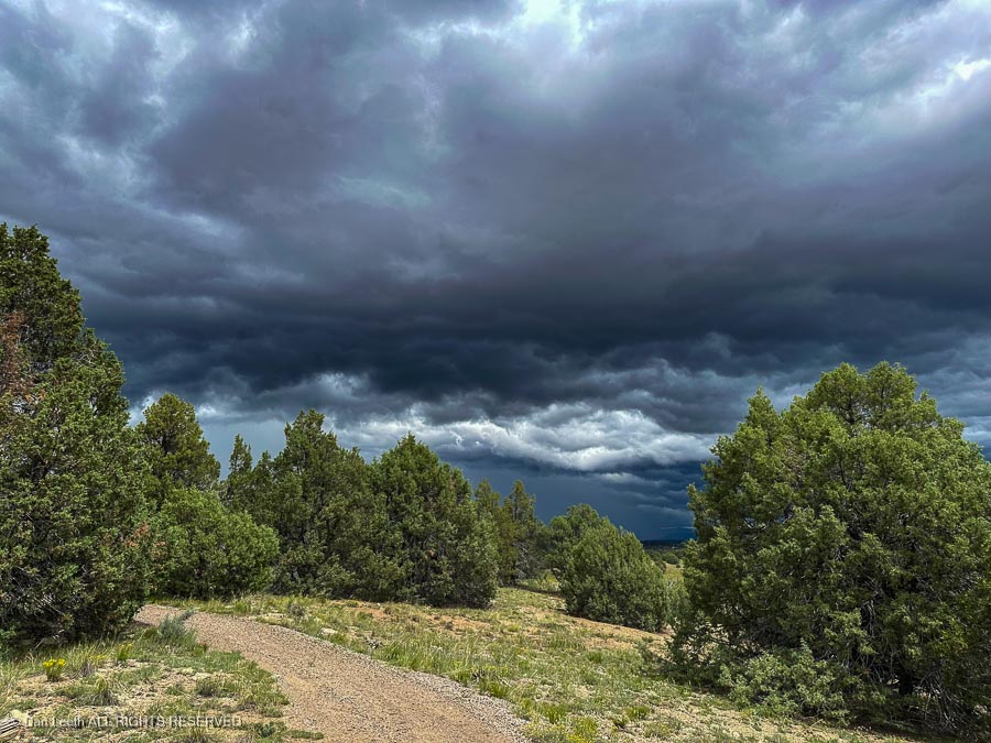
Eleven Mile Canyon felt like the epitome of classic Colorado postcard country.

It was a day well spent.

Donating Blood

We spent the morning in the trailer attending to some needed repairs.  Then came the rain.

After lunch…

…the clouds semi-cleared and we decided to go for a walk in the wild.

Our route was the Coyote Ridge Nature Trail, a 1½-mile pathway a short drive from the campground.  A sign warned us of possible bear danger, but we encountered nary a single furry bruin. 

Instead, we found ourselves battling far more deadly animals – mosquitos.  They were out and they were hungry.

A detour off our trail took us around the end of Corral Cove…

,,,where there’s a “backcountry,” hike- or boat-in campground.

Back on the nature walk route, we wandered past marshy wetlands and knobby hillsides…

…offering stunning views of the reservoir.

Best of all, Dianne got to give her new knee a good workout on some rougher terrain. She did quite well, especially considering her slice-‘n’-dice total knee replacement surgery was only ten weeks ago today.

Back at camp, I checked my limbs.  Judging by the numerous bloody splotches on my legs and arms, I figure I must have donated about a liter of type O to the local wildlife population.

The scenery, however, was worth it.

On the Road Again

On Sunday, our final full day in Alamosa, we did something I’ve been wanting to do for years.  We drove the road over Old La Veta Pass.

The “New” La Veta Pass (technically North La Veta Pass) is where U.S. Highway 160 crosses the Sangre de Cristo Mountains between Alamosa on the west and Walsenburg on the east.  We’ve done that countless times.

The old pass, which lies to the south, is the route the Denver & Rio Grande trains took to get to Alamosa and on to Antonito, Chama, Durango and beyond.

U.S. 160 must have also taken the same route at one time.  While the road over Old La Veta Pass is now gravel, we could see patches of bygone pavement peeking through in places, occasionally with a painted centerline showing.

There was a major forest fire up here a few years ago, and we could see whole hillsides of denuded tree trunks poking skyward.

Climbing through the forest, we passed a few roadside homes and ranches.  Behind one sat the reasonably intact remains of a ’58 Buick two-door.

A family cemetery stood beside another.

A small community sat Up Top the actual pass.

Some of the homes there were currently being occupied…

…while others needed a little work.

One building in good repair was the 1877 train depot, now something of a museum. 

It was closed, so we could only look through the windows.

Nearby sat the Chapel by the Wayside.

On the way back to Alamosa, we detoured to the Costilla County Veterans Park in Fort Garland.  A moment of silence here served as a fitting end to our Independence Day weekend.

Back in camp, Dianne fixed lunch…

Parnelli then decided she wanted to test her new knee by racing around the campground in one of the KOA’s pedal carts. 

For 30 minutes, she shot through the nearly empty campground, screaming up one row and down another with speeds slower than those of the little four-year-old on her training-wheel bike.

Later that evening, we were treated to a beautiful bank of sunset-lit clouds over Blanca Peak and its neighbors.  Sights like this are why we camp.

On Monday morning, we packed up the trailer, hitched it to the truck and headed north toward our next camp-spot at Eleven Mile State Park west of Colorado Springs.  We’re camping here with some friends from the Grand Valley.

Eleven Mile is not my favorite campground.  Water spigots are few, there’s no water at the dump station and as far as I can tell, none of the sites are even close to flat.  It took over seven inches of blocks on one side to level the trailer.

It is, however, an attractive place with wide open views of the reservoir and they say the fishing is great. 

Too bad we don’t fish.

A Walk Along the Rio Grande

After using yesterday as a rest day, Dianne’s artificial knee was ready for some trail walking today.  We studied all the options and decided on an easy, four-mile walk along the Rio Grande from downtown Alamosa.

The trail, which stretched along the top of a riverside levee, was flat, gravely and scenic.

Signs warned that dogs and potbelly pigs must be on a leash.  We did not encounter a single unleashed potbelly pig.

Other signs told us what to do should we encounter a mountain lion.  We did not see any of them, either.

The trail ended with a “No Trespassing” sign, so we took to the streets and ended up at Adams State University.

Turning back, we took a bridge across the river and returned to our starting point by following a path on the other side of the stream.  The trail offered pleasant views of Sangre de Cristo peaks in the distance.

We parked our truck near City Hall. Nearby stands a display featuring Engine 169…

…a steam locomotive built by the Baldwin Locomotive Works in 1883.

Completing our examination of the locomotive and the business car pulled behind, Dianne listed our menu options for lunch back at the trailer.

I turned the other way down Main Street and we dined at a local Mexican restaurant.

Los Caminos Antiguos

Dianne picked up a brochure about the Los Caminos Antiguos Scenic and Historic Byway – a 129-mile route through the San Luis Valley of southern Colorado.  We figured this would be a good way to spend Independence Day, although it meant we would miss the annual (you can walk or ride a bike) parade through the KOA campground.

We started in Alamosa (more or less the middle of the byway) and headed north.  Our first stop was the San Luis Lakes State Wildlife Area.

This was once a state park, but it was decommissioned in 2017.  The old entrance station now provides a shady spot for birds to nest.

There’s a rather large campground out here, with most of the sites featuring free electrical hookups.  There’s no shade and there doesn’t seem to be any drinking water, but there is an RV dump station.  This would not be my first choice of prime places to camp.

Next stop was Great Sand Dunes National Park and Preserve. 

The visitor center was crowded, but we managed to find a couple of t-shirts to buy. 

We checked out the campground, which was nice and shady, but it would not be fun trying to park the trailer.

It was time to stop at a picnic table and devour the delicious lunch Dianne had graciously packed up for us to savor. 

Instead (receiving no complaints from my other half) we compromised with a stop just outside the park at the Great Sand Dunes Oasis Cafe.

Continuing down the road, we made a detour up to the parking lot for Zapata Falls.  There were far too many people here, so we continued down to Fort Garland to visit the old 19th century fort, now the Fort Garland Museum and Cultural Center.

Interesting exhibits…

…and we had the place pretty much to ourselves.

With closing time approaching, we left and headed back to the campground. 

Fortunately, the KOA parade was completed, and we had no trouble getting to our campsite.

Back to Colorado

Spent last evening chatting with Steve and Sandy, a friendly couple of MicroLiters from Albuquerque.  When we went to bed, the sky was studded with stars.  Then, sometime in the middle of the night, the rain came, at least this time without any nearby lightning strikes.

Come morning, we tried to dry things out a bit as we got the trailer ready for the next leg of our journey.  Our destination was the KOA just over the border in Alamosa, Colorado.  We had a choice of two routes to get there.  The quicker (98 miles) way would be to drag the trailer back to Chama and then over Cumbres Pass.

The other choice was to take what AAA shows as a longer, scenic route (125 miles) up U.S. Highway 64 to Tres Piedras, then follow U.S. Highway 285 north into Alamosa.

We chose the latter option, stopping at one point to photograph sheep grazing on a lush hillside.  Little traffic.  Green scenery.  Lambchops on the hoof. Definitely worth the extra 27 miles.

We arrived in Alamosa and checked into the KOA, which lies on the east side of town.  Campsites are close together, but our patio site is lovely (but pricey) and the staff friendly.

Scenery is not too bad, either.

If it doesn’t rain, maybe we’ll even have a campfire tonight.

Next Time, We’ll Come in the Dry Season

Sometime after dark Saturday evening, the rain began to tenderly thump the trailer roof.

Oh shucks, I suddenly thought as I sat up in bed.  I need to close the back window in the truck. 

“No, it’s closed,” my eagle-eyed wife assured me.  “I checked it twice before we went to bed.”

The rain continued through the night with Noah-worthy intensity.  Rumbling thunder followed seconds after distant lightning flashes. 

Do pole-nesting osprey, I wondered, worry about lightning striking close to home?

Then, sometime in early morning hours, there was a blindingly intense flash of light with a simultaneous, eardrum-bursting explosion of thunder.  Either we’d just gotten nuked by Marjorie Taylor Greene’s space lasers, or lightning had struck exceedingly close to camp.

We’re occupying campsite #1.  That bolt of lightning had struck a tree beside campsite #17, which because of the curvature of the campground loop lies behind us, fewer than 100 yards away.

The tall ponderosa that the bolt hit is still standing, albeit with a bit less bark.  The campers in site #17 did not do as well.  Not only will they need to change their skivvies, but according to the campground host, it seems that the charge from the heavens fried the electronics in both their trailer and their tow vehicle.

Our most critical issue was a tripped GFCI breaker, which took out the power to my coffee hot plate.  After checking our main circuit panel, I found the issue and corrected it with the push of a couple of buttons.  My coffee’s warm now.

And yes, the backseat of the truck is wet from rainwater coming in through the supposedly closed window.

More Hikes

Friday was a rest day, and I finished reading my second banned book.  In the afternoon, we finally got out of our chairs and took a short, ¾-mile hike up to the visitor center. 

It’s a nice building, but unfortunately, the young lady working there was not too knowledgeable about the area. We read the displays and learned what we could.

Saturday, Dianne wanted to do another long hike.  The rain gods looked like they were going to take the day off, so at the crack 9:20 a.m., we set off on a 5½-mile stroll down the Salmon Trail, which runs between the highway and the shore of the reservoir. 

The trail was wide and easy going with benches and picnic tables providing scenic rest stops along the way.

We hiked about three miles to the Brushy Point Campground, ate lunch (bag of gorp) and began the hike back.  It was so pleasant to just be out in nature. 

The only thing that might make it better would be to encounter some wildlife.

Not far from the campground, we found an osprey nest, this one atop a semi-dead ponderosa pine close to the trail.  The only camera I had with me was my iPhone, so this was about the best I could get. 

The bird was not happy having us hang around, so we soon took off up the trail.  Cold brews were waiting in the trailer fridge.

Should have Looked at the Weather Forecast

Thursday morning, Dianne was ready to test her new knee on a longer hike.  She chose the East Meadow Trail, a 2½-mile path past the upper end of the reservoir.

The trail was basically flat, rolling terrain with some ups and downs.  Out and back would be a good five miles.

The weather was fine when we started out.

But the sky began to get interesting as we proceeded along.

Before long, things started to look downright fascinating.  We quickened our pace.

Unfortunately, we didn’t make it back to the truck before the clouds opened. We got drenched. 

Longest hike since surgery and although Dianne’s knee was rain soaked, it felt fine.