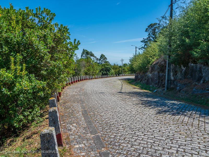
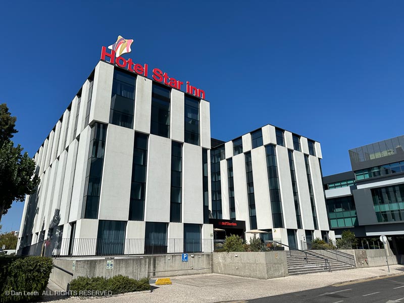
After breakfast onboard, we disembarked, trusted our luggage to a van driver and walked to the 1872 River House, our home for the next four nights. The main entrance…

sits right next to the local McDonalds.

While a BigMac would have been convenient, the only hamburgers we ate in Portugal came from a real restaurant.

With a stone wall and hardwood floors, our room at the River House boasted a feel worthy of the 1872 name. Best of all, our two large window-doors looked directly out to the river.

While the room offered an 1872 feel, the bathroom looked like something from the 1950s.

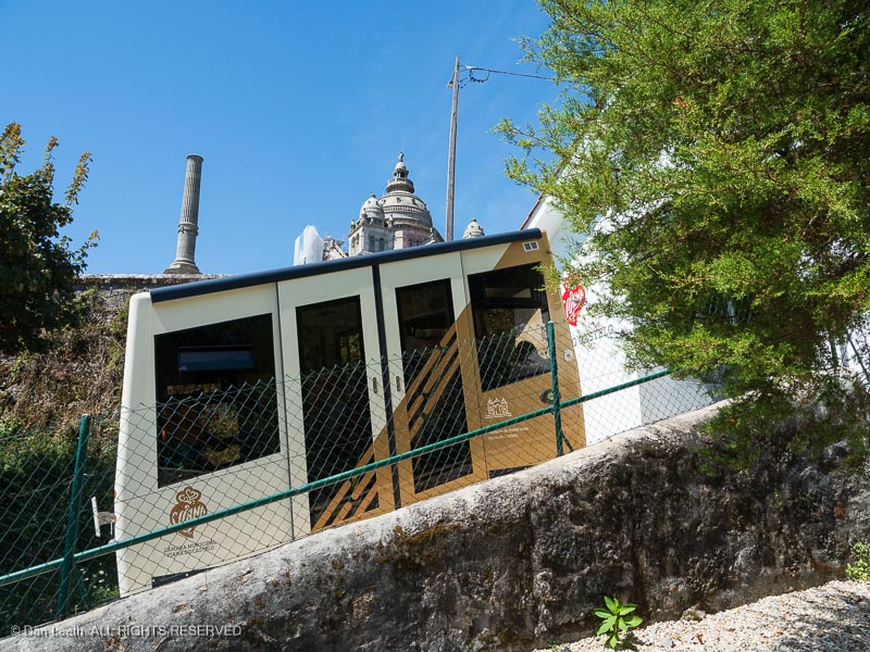
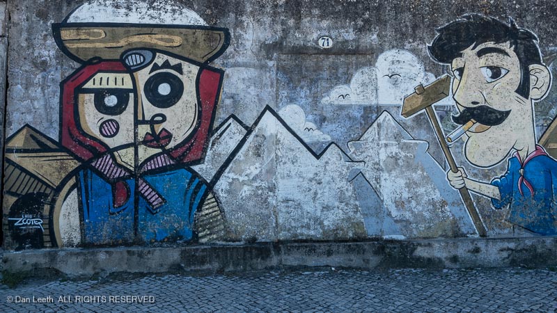
We spent the rest of Friday exploring the cities of Porto and Gaia. We rode the funicular in Porto up the hill…

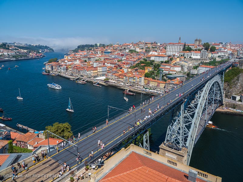
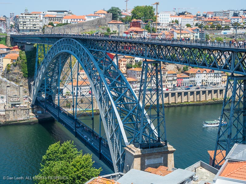
…and crossed the river on the upper deck of the Dom Luís I Bridge.
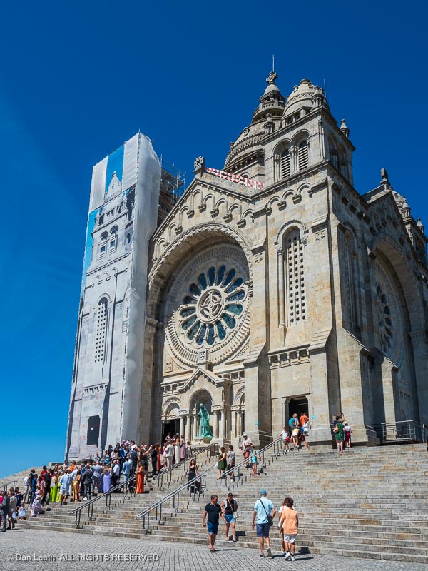
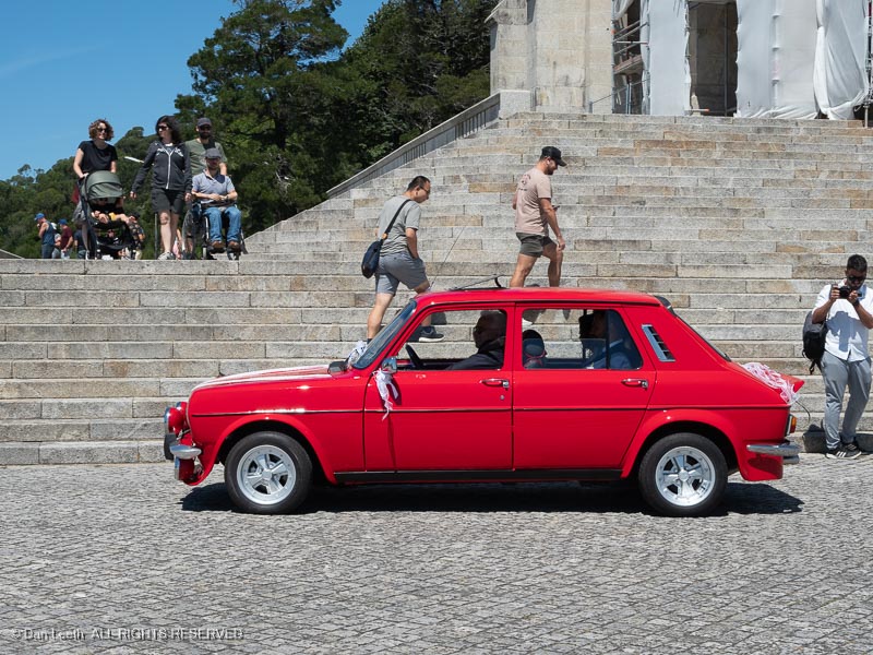
Our first stop was the Serra do Pilar Monastery…

…which appeared to be closed for visitation, but the view from its deck was spectacular.

Feeling a pressing need to find our favorite two letters in Portuguese (WC), we wandered down to Jardim do Morro where a restaurant offered both food and facilities along with a pleasant view of Porto’s signature bridge.
Instead of taking the cable gondolas down to river level…
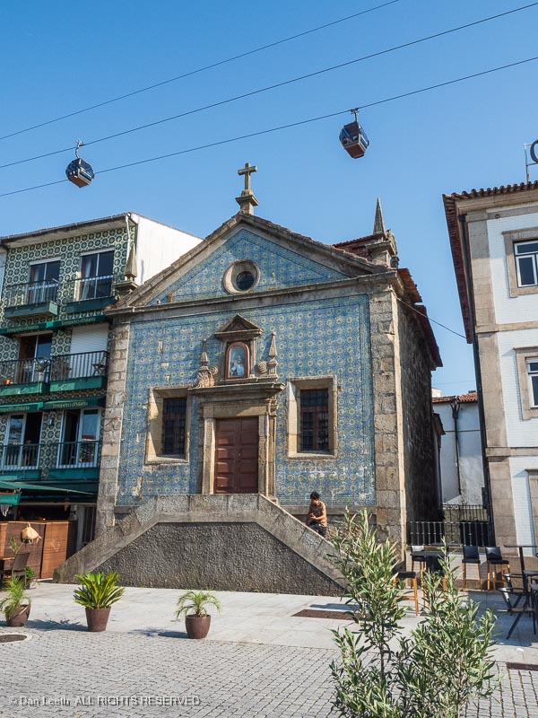
We walked down the the steps, which Dianne’s replacement knee handled with only minor complaints.

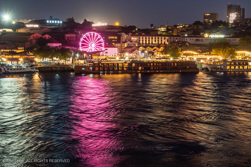
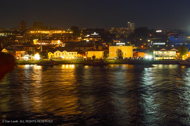
That night, we looked out our room’s windows to see the lights of Gaia painting the river.
Prior to our arrival, I had booked two days of hop on/hop off bus tickets for Porto. Instead of yellow, this time I chose red colored busses.
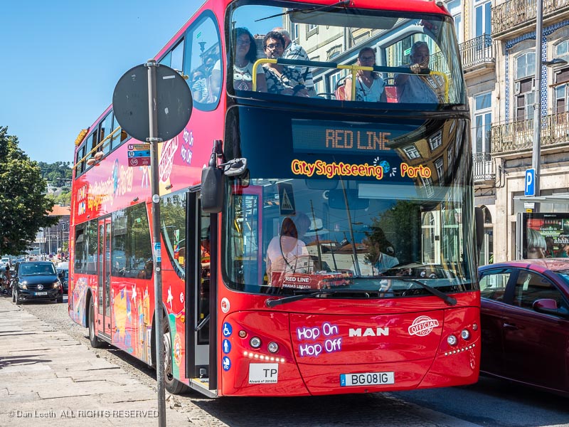
They only offered two routes through town, one exclusively on the Porto side of the river and the other crossing over into Gaia. On Saturday, we took them both, looking for places to explore later on foot.
On the Gaia route, we hopped off and walked over to the World of Wine for lunch. I ordered a Francesinha, a Portuguese speciality made with rump steak and smoked saugage sandwiched between layers of toasted bread. It’s capped with an egg, melted cheese and comes soaked in a port wine sauce. Quite nice.

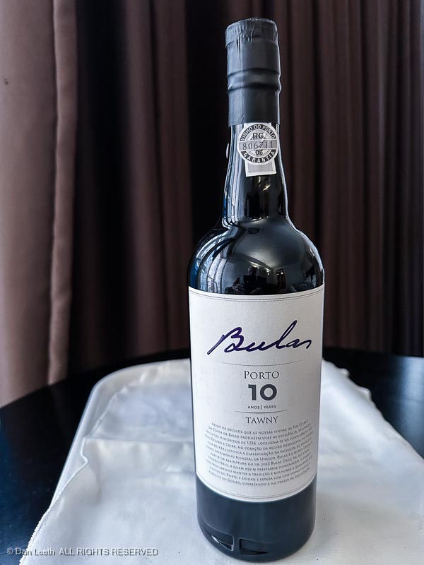
We followed that up with port tasting at the Heritage Wine Shop presented by a French Canadian transplant from Montreal. He may not hail from Portugal, but he really knew his stuff.

We bought a bottle, which we enjoyed back in our room while gazing out at the lights across the river.
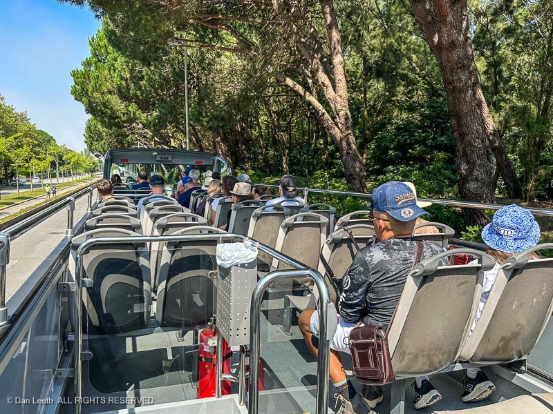
One of the hop-on, hop-off bus places we thought would be interesting to explore on foot was the Foz do Douro (Mouth of the Douro) area west of Porto. We had 48-hour bus tickets, so we just hopped on near the hotel and hopped off near a coastal beach.

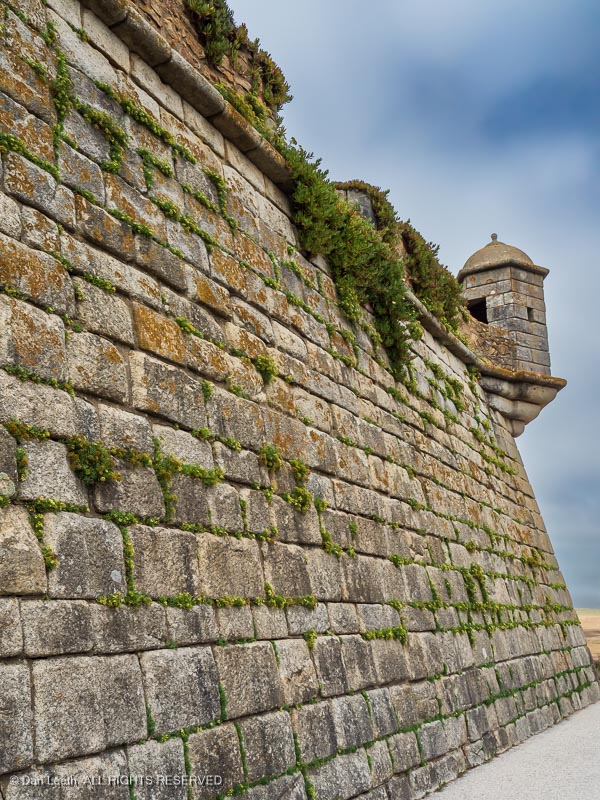
One of the things we wanted to check out was the Forte de São Francisco Xavier, a stone fortification built along the shoreline near the mouth of the river.
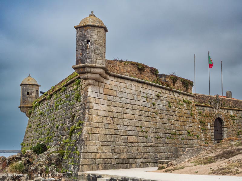
The structure was, of course, closed, but we still had a good time shooting photos of it from various angles.
From the fort, we walked down a boardwalk along the rocky coastline…

…stopping for brews (and bathrooms) at a seaside cafe…

…before heading on past more sunbathing beaches.

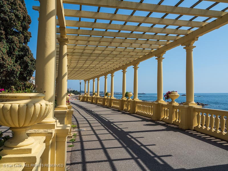
Farther down the coast we come to the Pérgola da Foz. According to yesterdasy’s bus narration, this is considered one of the most romantic sites in town.
We continued on to Forte de São João Baptista, a 16th century fortification off the Douro River.

From here, we found the next bus stop and hopped on for the ride back to our riverfront hotel.

On Monday, we opted to walk downstream along the river to the Ponte da Arrábida bridge near where we bailed out the day before.

Across the river, we saw the Spirit of Chartwell moored next to another, full-size river cruise boat. Our little brown boat looked so small compared with its 102-passenger brethren.
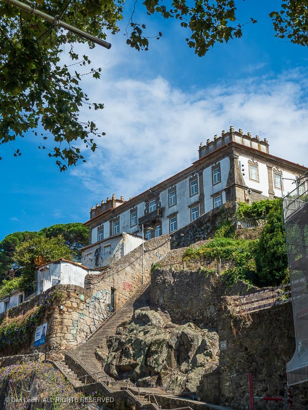
Along our route, we passed some grand edifices on the hillsides…
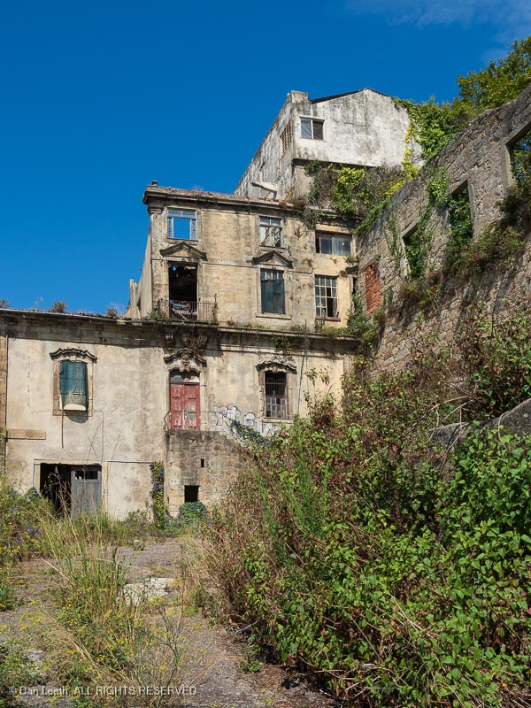
…and some not so grand edifices.
We saw a young man motoring by on a rented scooter, his girlfriend clinging on tightly. The smile on his face says it all.

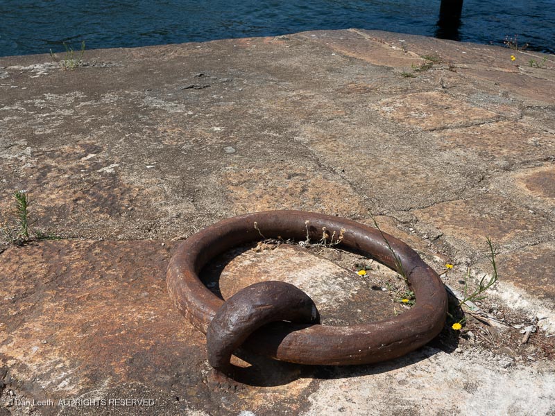
At one time, ships tied up along the seawall out here. Rusting mooring rings still set in the stonework.
We soon reached the bridge, the first of six spanning the Douro River around Porto. When it was completed in 1963, it was the largest concrete arch bridge in the world.

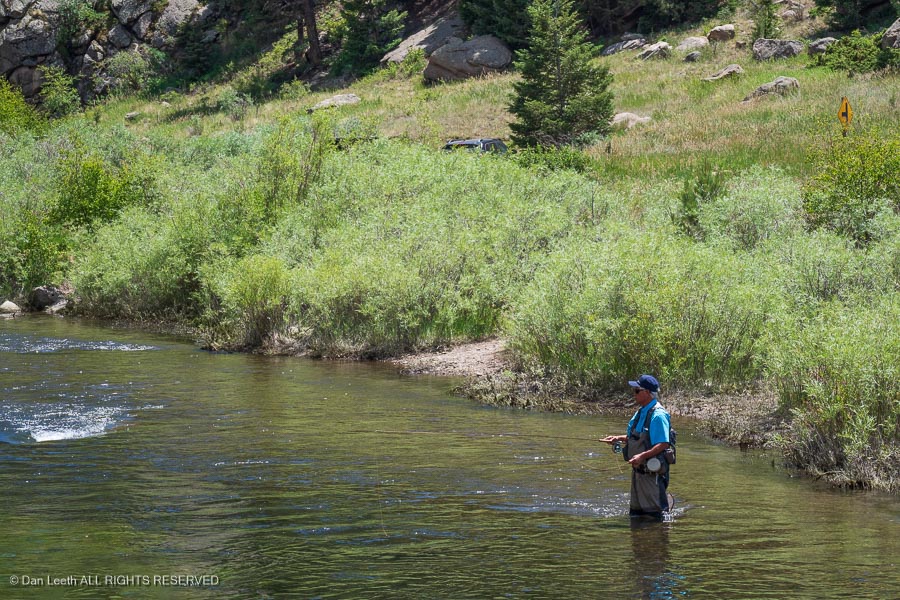
Near the bridge, we passed anglers, hard at work trying to catch dinner.

For a mere 20€, one can book a guided climb up steps on the curving arch of the bridge, 200+ feet above the river. With Dianne’s new knee not yet fully broken in, this was not something we could do. We’ll save it for next time.

We stopped at a nearby riverside restaurant for lunch. Yes, we had yet another pizza in Portugal.

We passed a helicopter pad in the river from where Sky Experience flights launch. The only thing flying today were the seagulls.

At the other end of the pad, some lads were kicking around a soccer ball.

Now, you might wonder what happens if the ball inadvertently goes over the side…

That night, we crossed the river to attend a concert of Portuguese fado music.

Of course, we didn’t understand a word of what the singer was singing, but we so loved the sound of the Portuguese fado guitar that we bought an album of just fado guitar music.

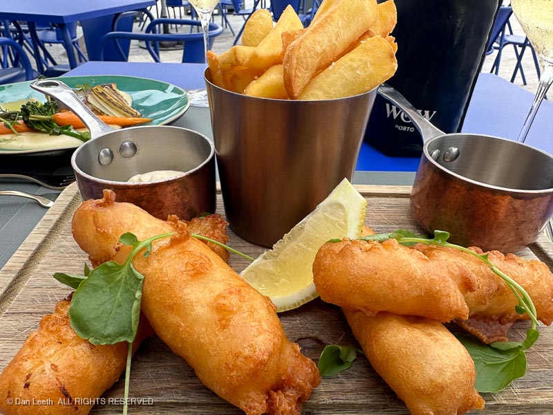
We followed the fado concert with a fish-n-chips dinner at, where else, the World of Wine.