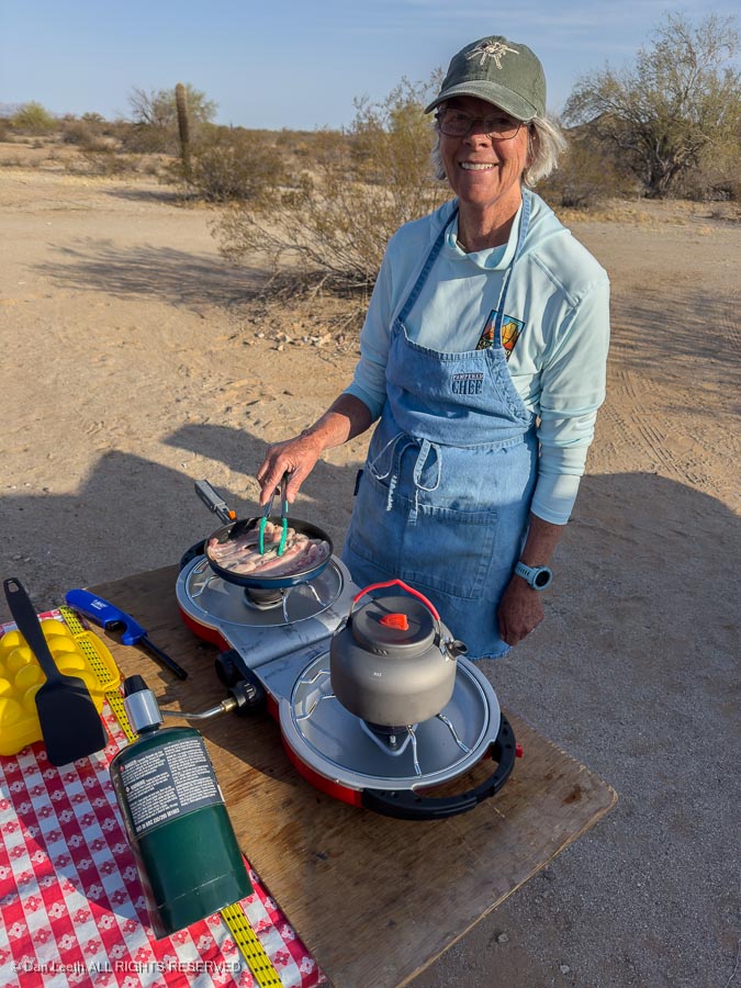
After devouring a delicious breakfast prepared by the cooking crew…
We headed back to the Camino.
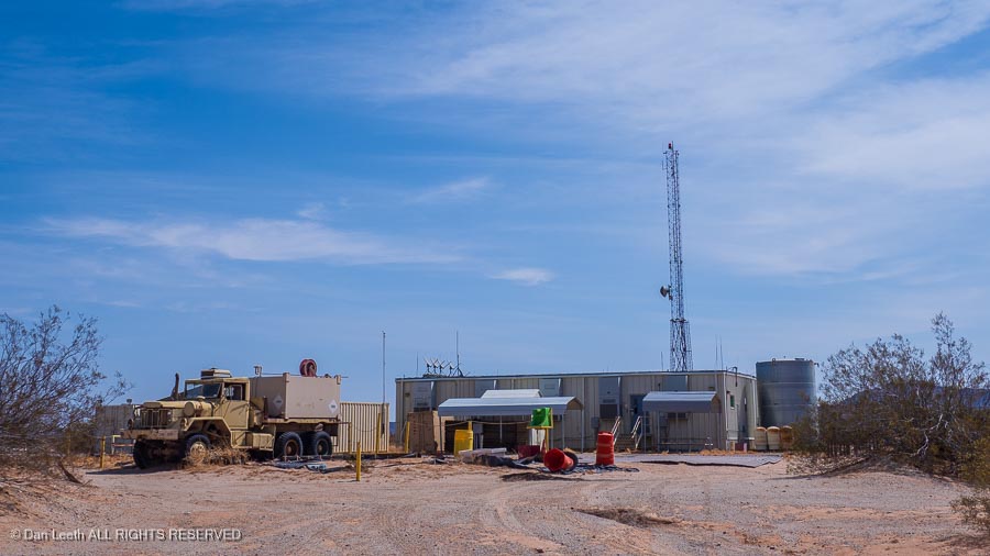
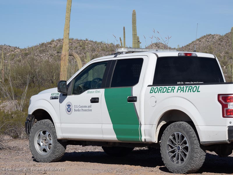
Today, we passed Camp Grip, another Border Patrol Station. As I look at the facility, I wonder how badly does a Border Patrol officer have to screw up to get stationed out here.
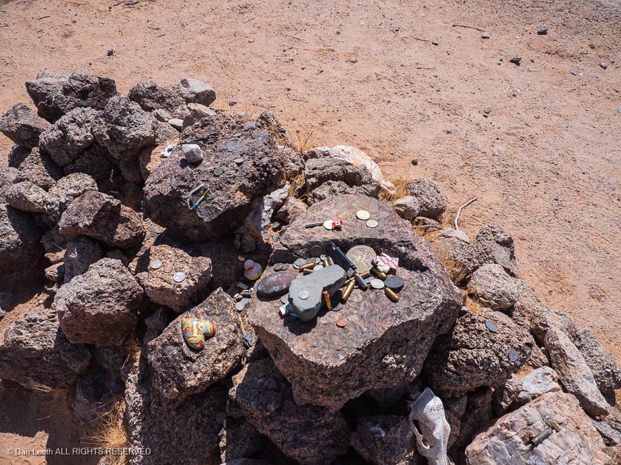
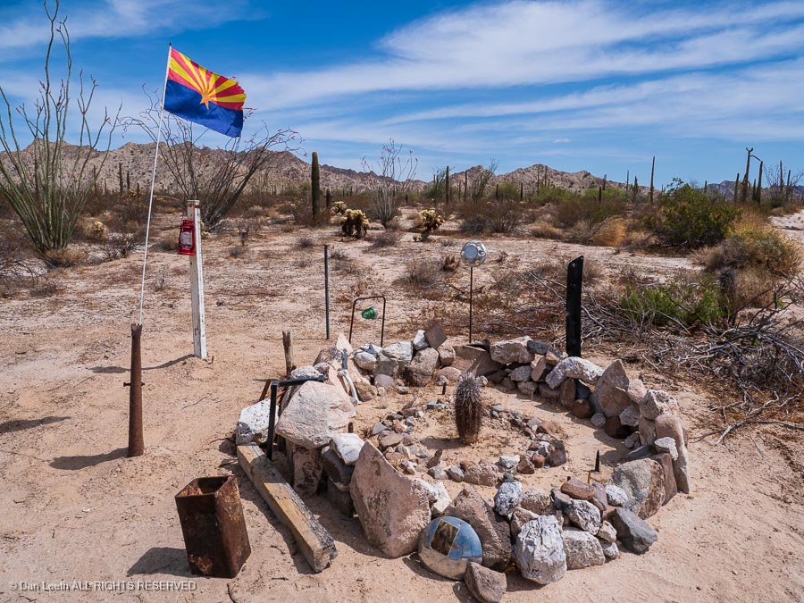
We soon come to the grave of prospector Dave O’Neill who died around 1916. He was buried here by two friends. Two weeks later, when the friends ran out of tobacco, they remembered that O’Neill still had his tobacco with him when they laid him to rest. Of course, they returned, dug up the grave and retrieved O’Neill’s stash.
The custom is to place a token on the grave to honor the deceased. I brought along some Colorado pins for that purpose.
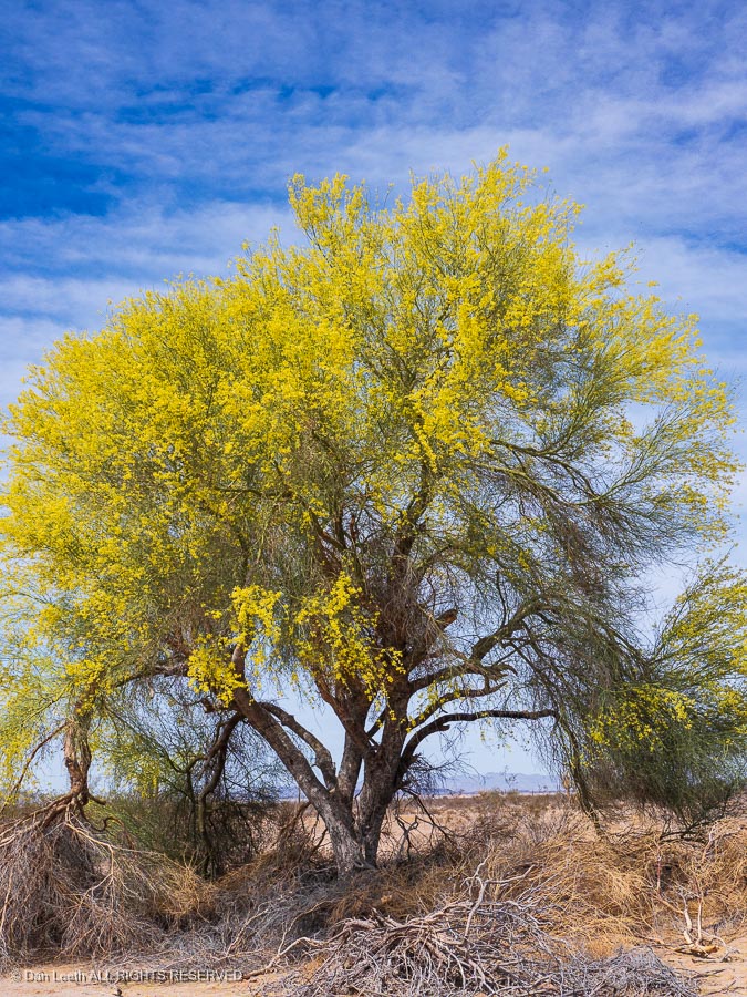
We continued onward, passing paloverde trees in bloom…
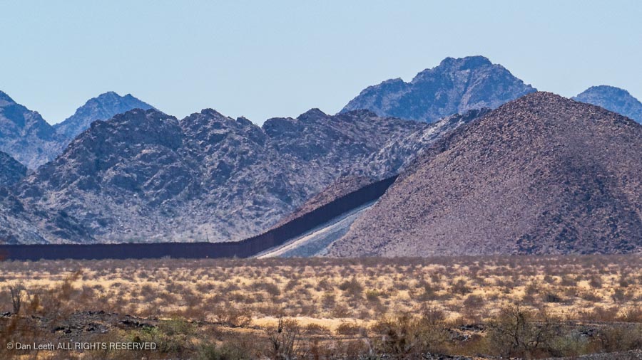
…gazing south at the Trump Wall climbing over mountains…
…and keeping an eye out for traffic cops enforcing the speed limit.
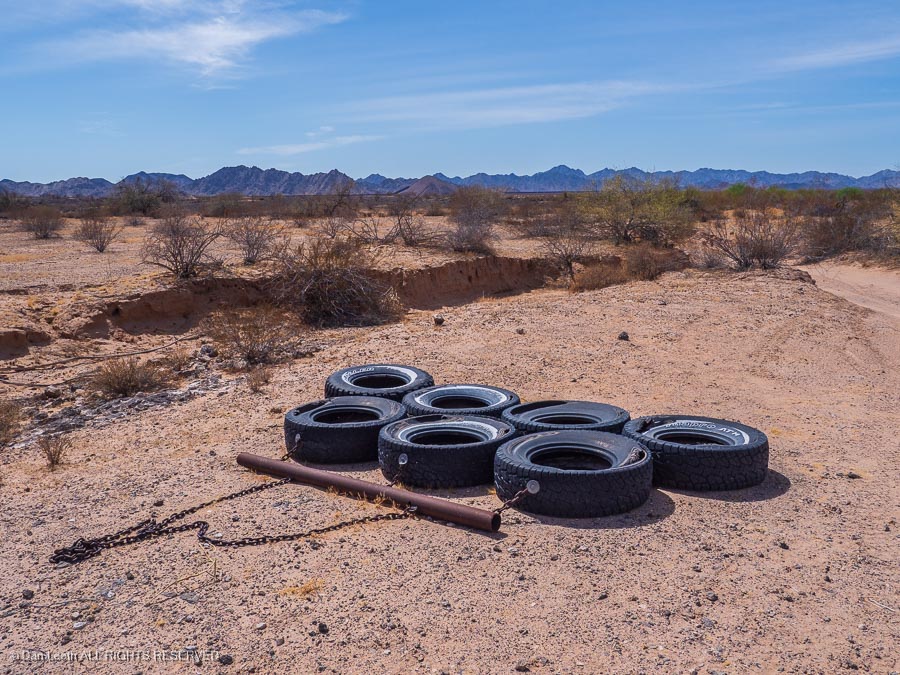
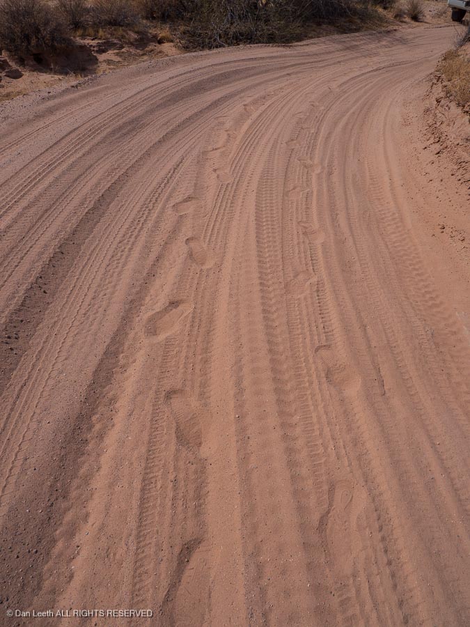
Portions of the Camino route traverse wash bottoms and stretches of deep sand. In these areas, the Border Patrol will drag tires down the road to smooth the sand.
Anyone out here illegally crossing the road will leave footprints in the sand. (These, however, are ours.)
Driving through some of these areas required engaging four-wheel-drive and motoring through nonstop. Stop and you’re stuck!
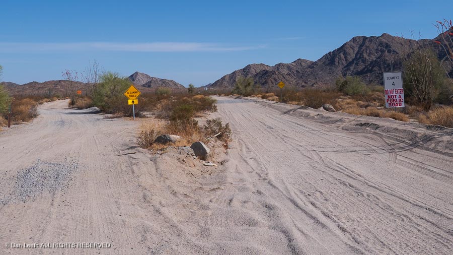
El Camino soon merged with another road, which was prominently labeled “Do Not Enter, Not a Public Road.” It was a construction road for building Trump’s border wall. We legally continued forward on the merged roads.
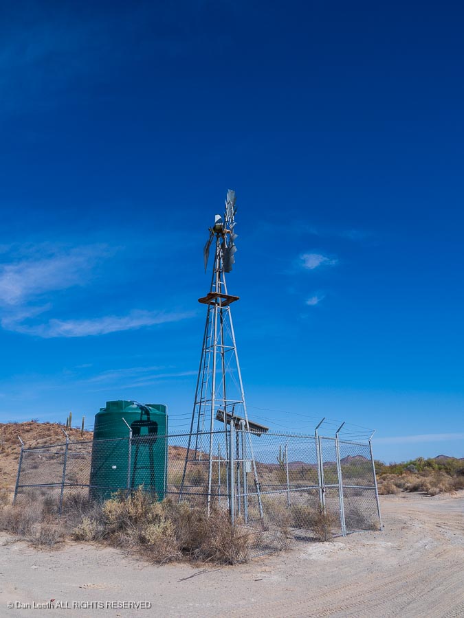
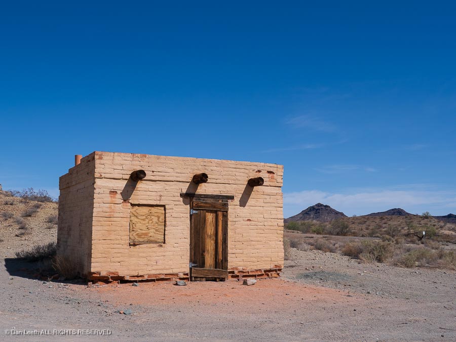
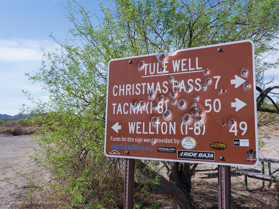
We soon reached Tule Well, complete with a windmill-filled water tank…
…an abandoned building…
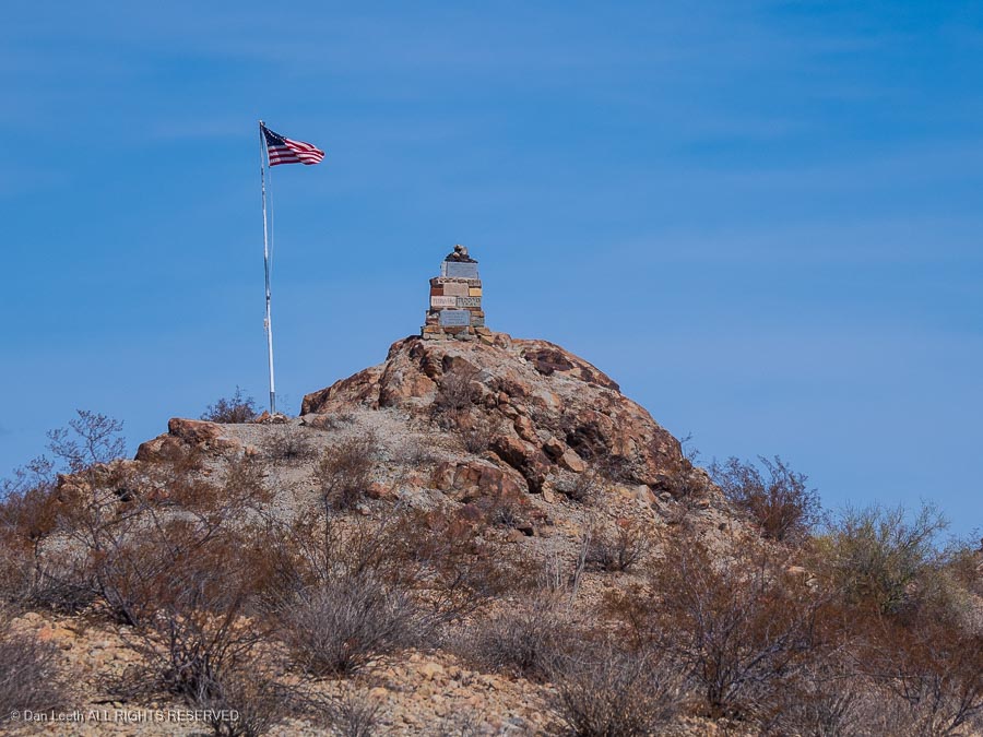
…and a Boy Scout memorial atop a nearby hill.
While there was camping available here, we chose to head seven miles up to a campsite on Christmas Pass.
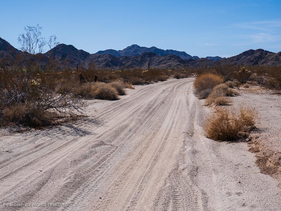
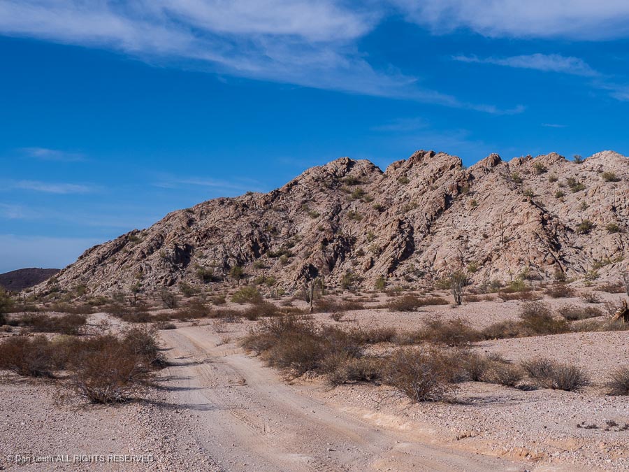
The road started out nicely…
…and then got a bit more interesting as we neared the pass.
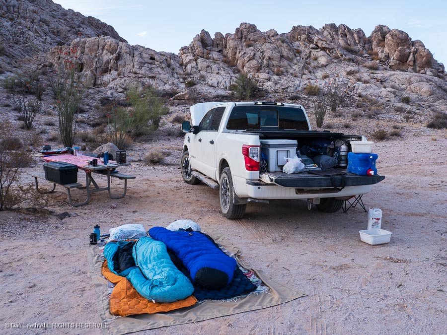
The campsite was lovely and came complete with picnic tables…
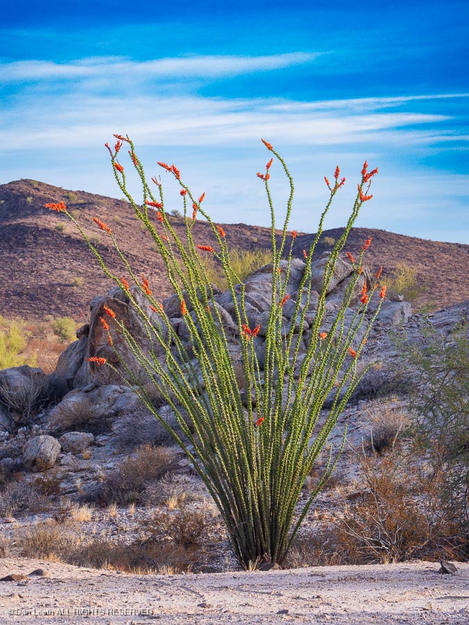
…and ocotillo in bloom.
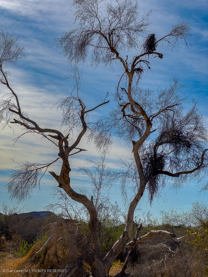
While there was plenty of mistletoe hanging off a paloverde tree, there was no Santa on Christmas Pass.
We followed our friend’s 4Runner down from Christmas Pass to the Camino and turned toward Yuma, trail’s end.
Heading up the Camino, we passed roadside memorials…
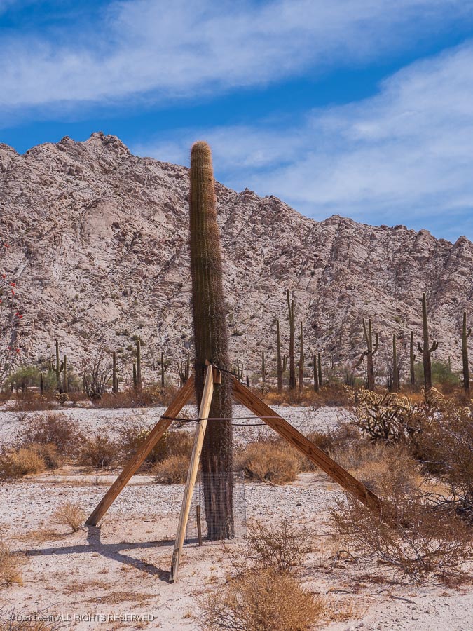
… and saguaro cacti propped up with 2x4s.
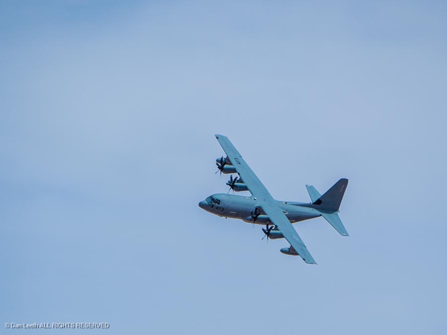
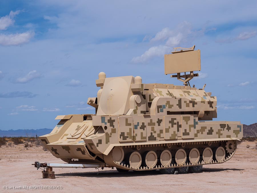
We soon entered the Barry M. Goldwater bombing range…
…and tried not to get too nervous about the plane circling overhead.
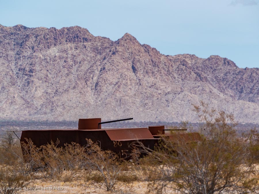
Along the roadway stood pretend tanks…
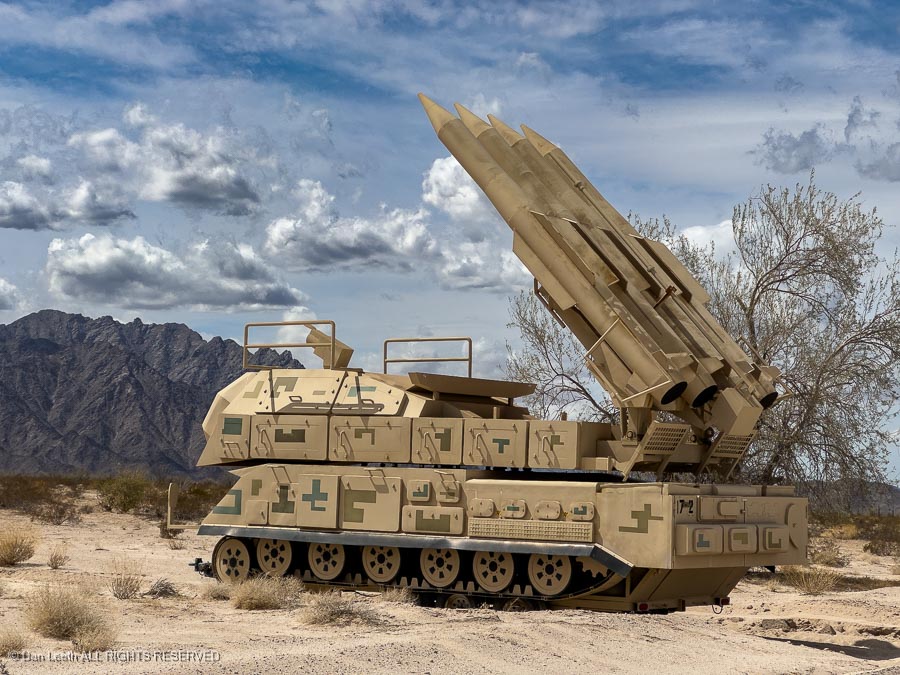
…more pretend tanks…
…pretend rocket launchers…
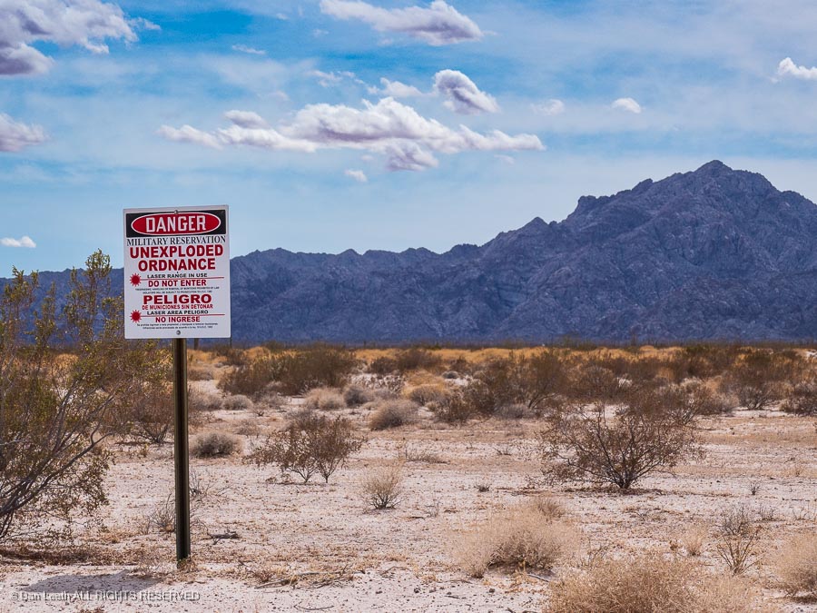
…and signs warning us not to pick up any “unexploded ordnance.”
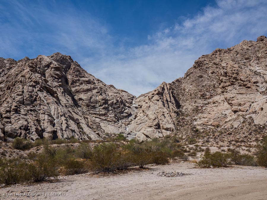
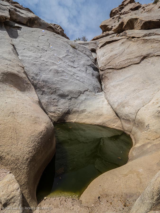
Our goal here was to get to the tenajas in the Tenajas Atlas mountains. These plunge pool tanks hold water for both the local wildlife and the those pioneers who followed El Camino del Diablo out west.
A short walk up a less-than-friendly trail and wash bottom lead to the first tank.
From here, we continued into Yuma and checked into the Super 8 Motel we had pre-booked. We’d have showers, a comfy bed, a flush toilet and waffles for breakfast.
Tomorrow, weather permitting, we will head off to the Kofa National Wildlife Refuge, which lies northeast of Yuma and south of Quartzite.
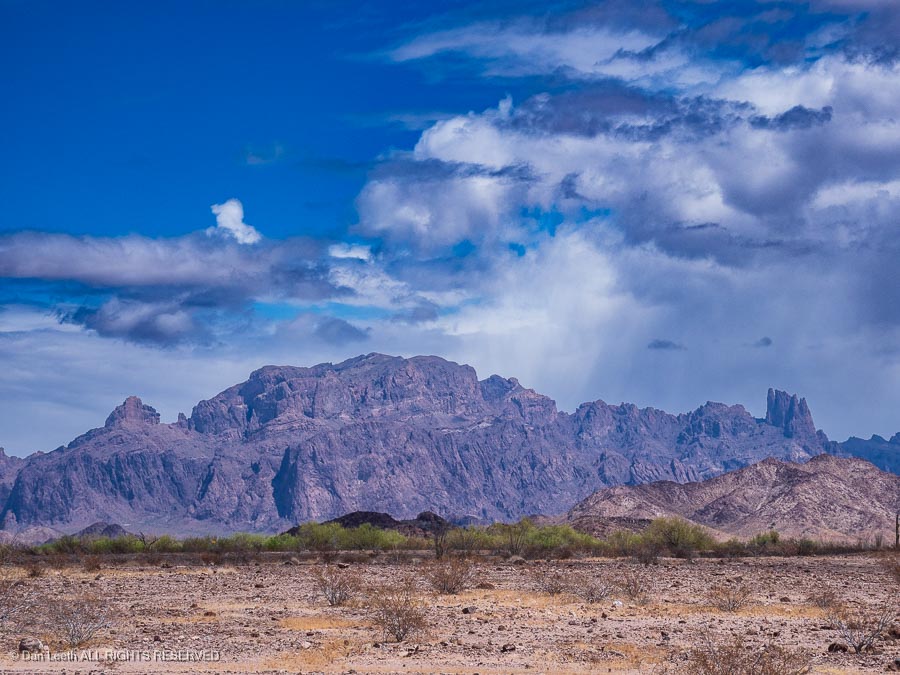
Weather permitting, we were next planning to head out for a short week of camping in the Kofa Wildlife Refuge. Unfortunately, the weather gods did not cooperate. We had been dealing with strong winds for this entire trip and it didn’t let up . Rather than bail, we decided to endure one more night in a motel room (real bed, TV, in-room coffee and flush toilet 15 feet away) and hope tomorrow would offer a break from the breeze.
We awoke to find the wind is refusing to abate. After careful consultation with our alter egos, we did the unthinkable and whimped out. Instead of the hills, we set off for home, gazing at the Kofa Mountains as we blew past on our way north. We’ll make another attempt to camp here, we promised ourselves, sometime in the fall.
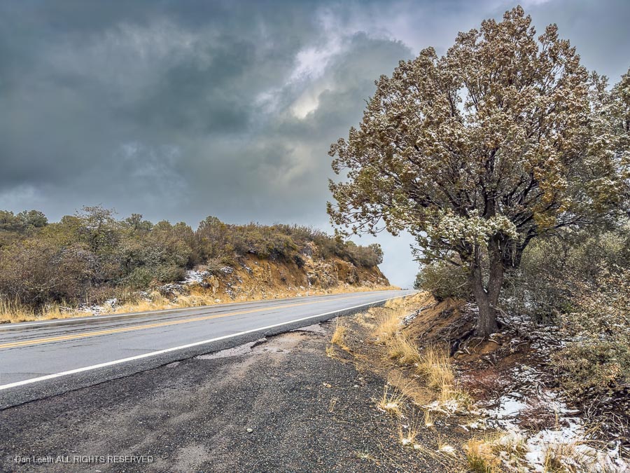
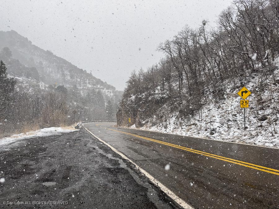
We had a motel reservation in Prescott. As we headed in that direction, we were greeted with snowfall.
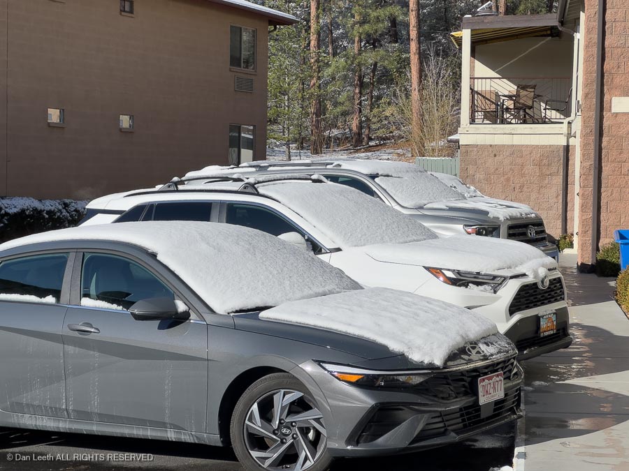
Come morning, cars in the motel parking lot were blanketed with an inch or so of the white stuff.
We drove through more snowfall on our way through the mountains as we headed in the direction of home.
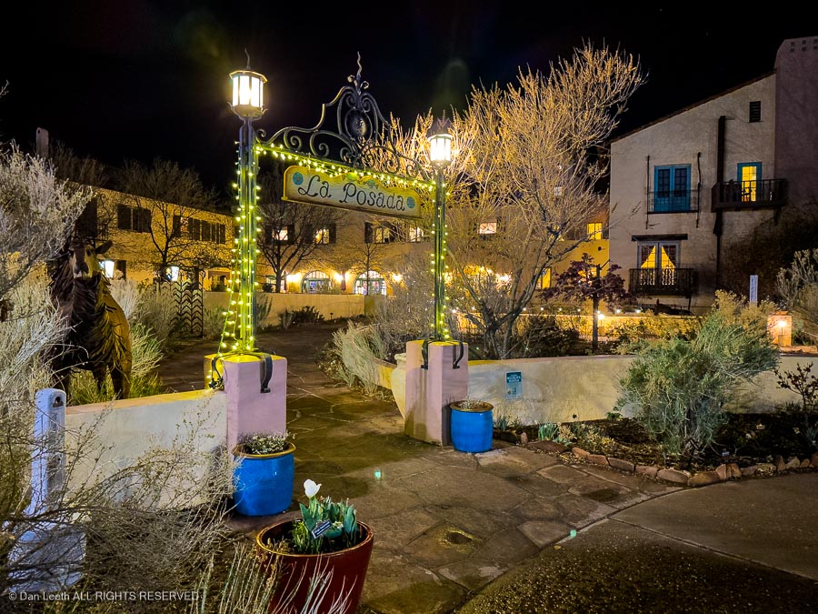
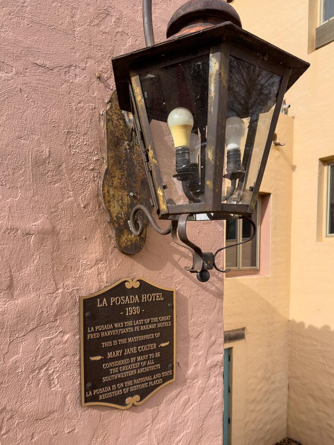
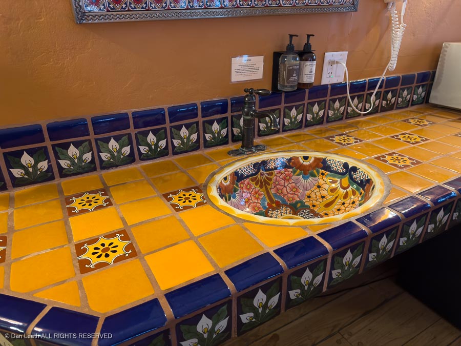
Our final night on the road would be spent at La Posada Hotel in Winslow.
The hotel was designed by Mary Colter for the Santa Fe Railway, and while a bit pricey, it’s become a favorite of ours.
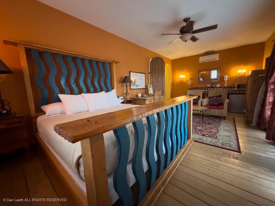
The rooms are beautiful…
…with classic Southwest touches.
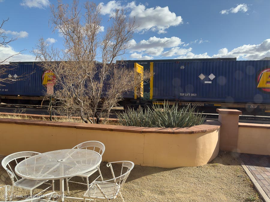
For us train buffs, tracks run by the back of the hotel, which also serves as the local Amtrak depot. We didn’t see the Amtrak train (it was probably late), but we did catch several freight trains rumbling by.
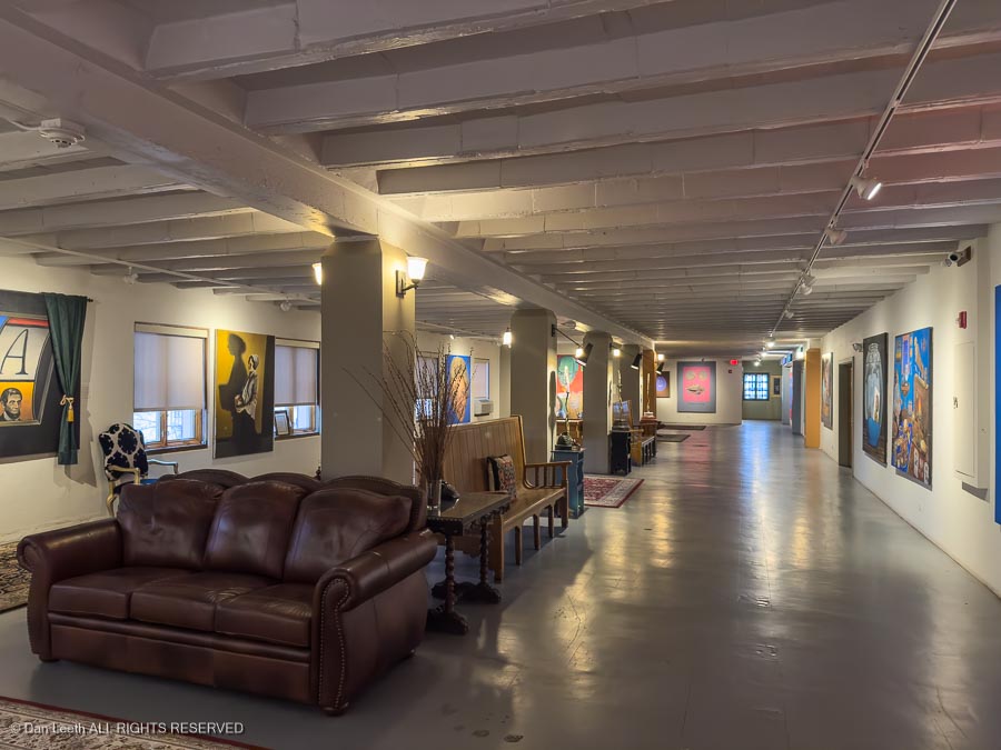
Inside the hotel, the “somewhat unusual”interesting” paintings by contemporary artist and La Posada owner Tina Mion grace galleries…
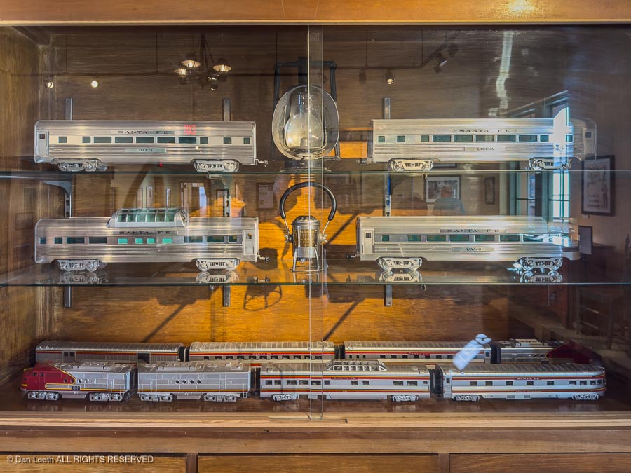
…and there’s a museum with train displays and artifacts…
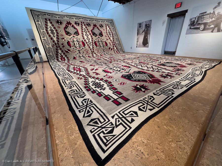
…plus world’s largest (26 feet by 36 feet) Navajo rug.
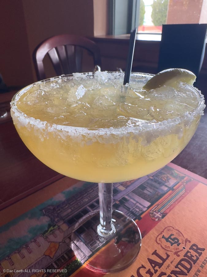
The Turquoise Room, the hotel’s restaurant, offers delicious cocktails, which of course we sampled…
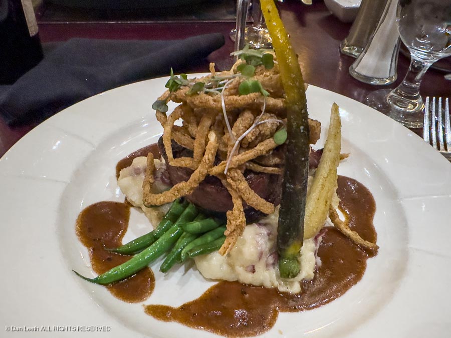
…plus dinner, which for me featured a gourmet steak (yes, there’s a filet mignon hidden in there).
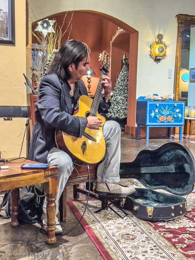
At night in the hotel lobby, classical guitarist Khent Anantakai plays tunes and tells tales about his life . We now own both of his albums.
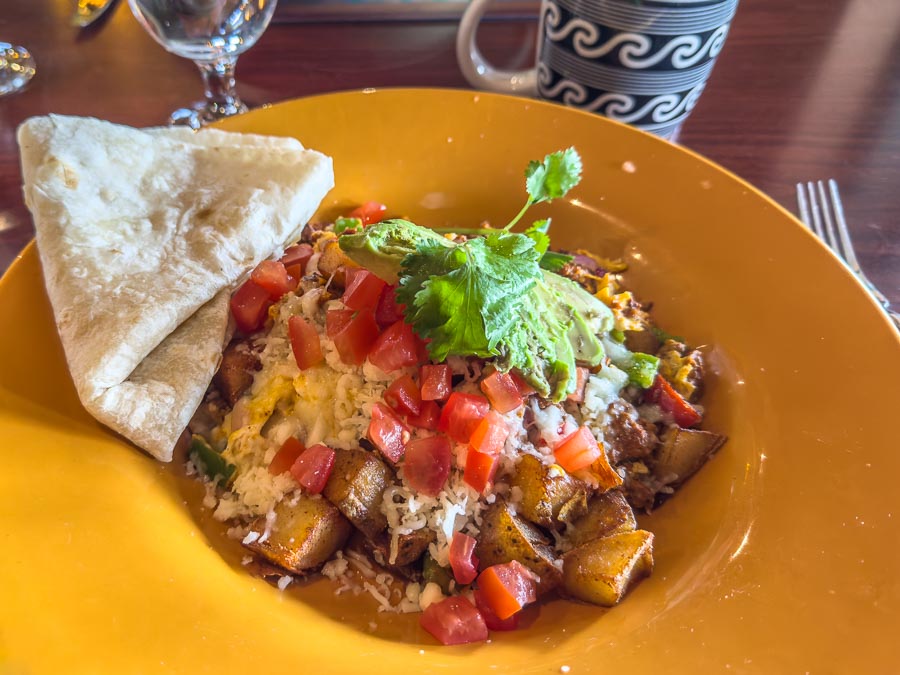
Come morning, we stuffed luggage into the truck and headed to the Turquoise Room for breakfast where I enjoyed coffee and a bowl of Chorizo Breakfast Hash. Very tasty.
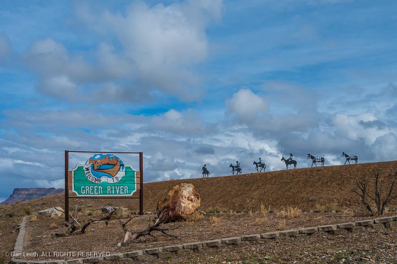
Our weekend trip with the Colorado Mountain Club to Green River, Utah, got off to a somewhat shaky start.
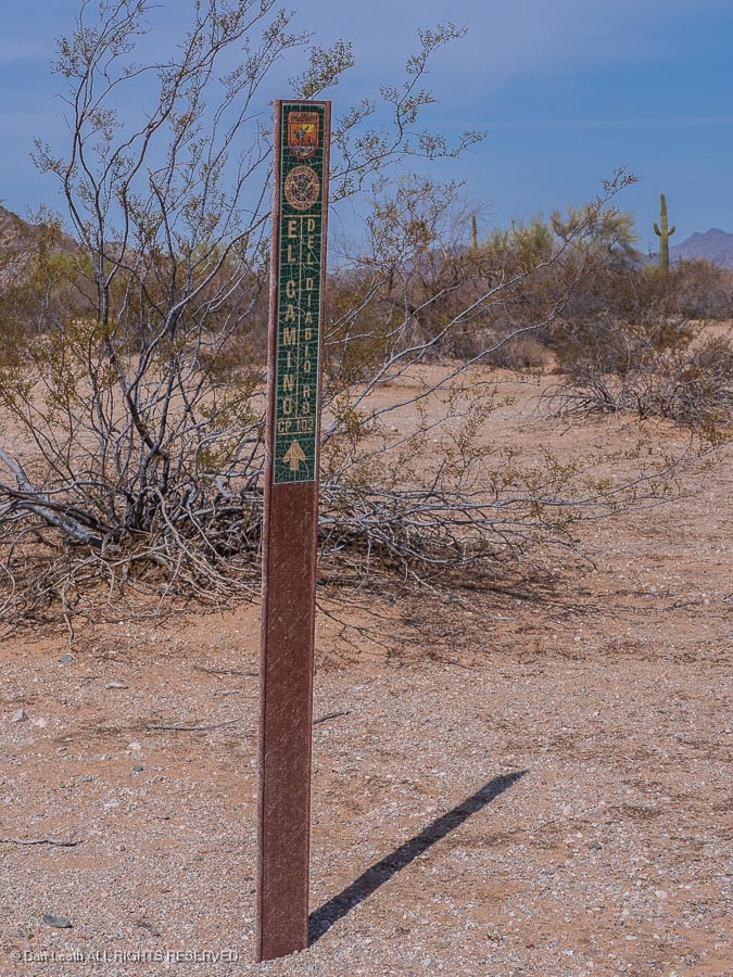
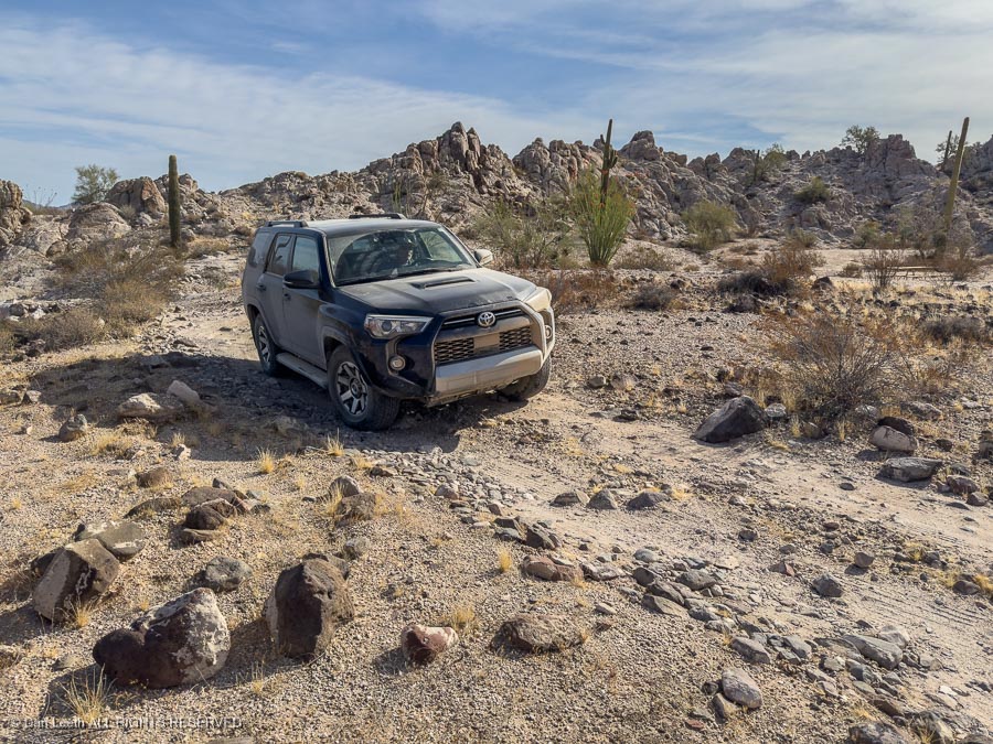
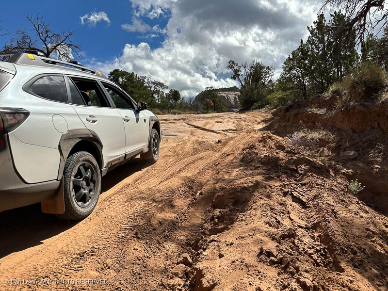
Our original plan was to spend four nights in Green River before heading down to Arizona to drive our Subaru Outback Wilderness down El Camino del Diablo, the Devil’s Highway. This is a high clearance, 4×4 road along the Mexican border between Ajo and Yuma.
The road is now used extensively by the Border Patrol and looks to be in pretty good shape. Just in case we ran into trouble, we would be traveling with friends who own a Toyota 4Runner with real, low-range four-wheel-drive.
Unfortunately, our buddy was experiencing serious hip issues (getting old sucks) and couldn’t make the October departure.
We rescheduled the Arizona portion of the trip for next March but continued with the Green River part of the trip. I figured we’d have a chance to test the Subie getting to some of the trailheads along the San Rafael Swell.
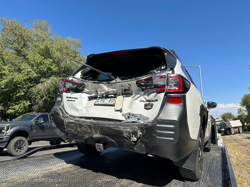
That plan came to an impactful end when the Subaru was rear-ended by a 16-year-old in a Dodge Ram pickup truck a few hours before we were scheduled to depart.
Instead of driving the Subaru on the backroads,
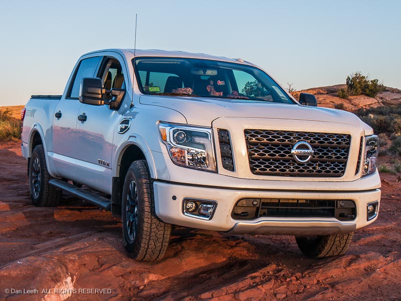
we’d be taking the truck.
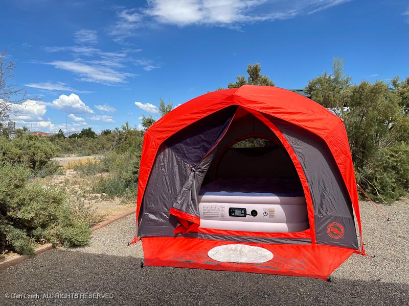
Our Arizona trip was to be all tent camping, but tent camping in Green River State Park can be a wet experience when they turn on the sprinklers.
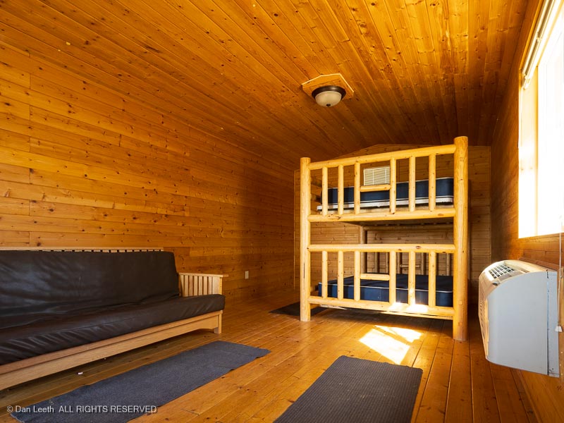
Rather than pitch our tent, we opted to book four nights in the Labyrinth Cabin. It offers queen-size bunks, a refrigerator and microwave. The restrooms/showers stand a short walk away.
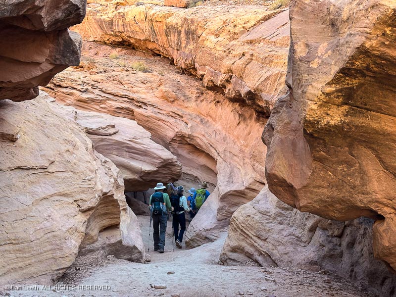
On Friday, we joined the group for the eight-mile, Little Wildhorse and Bell Canyons loop.
We first hiked these canyons by ourselves last April.
Back then, we found it to be a relatively easy hike through an inspiring pair of slot canyons.
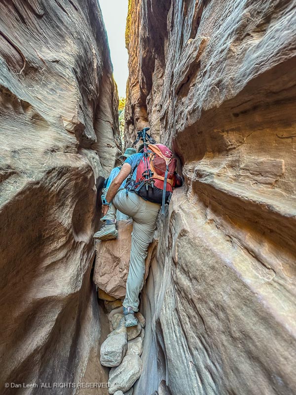
Conditions in these canyons can change with every new flash flood, and this year, the canyon threw a few obstacles at us we didn’t remember from before.
It didn’t always look pretty, but Dianne did splendidly with her new, after-market knee.
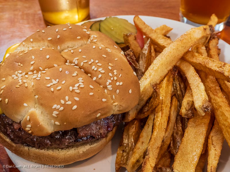
Our group made it through just fine. We celebrated our successful trip that evening with burgers and brews at Ray’s Tavern.
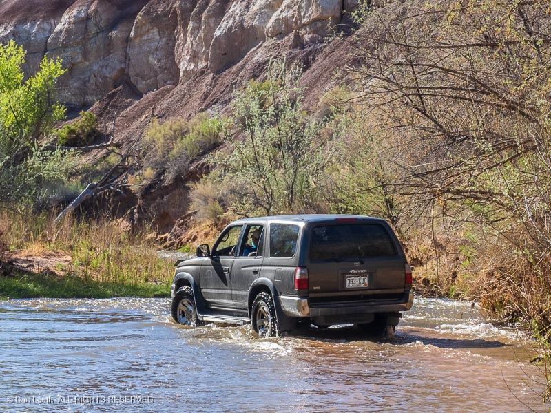
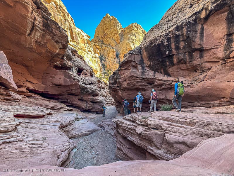
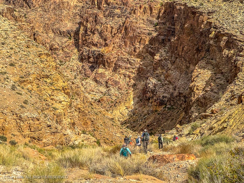
On Sunday, Dianne decided to follow the doctor’s orders to not overdo it and remained in camp. I joined a group hiking Straight Wash to the Eardley Pools. The road to the trailhead was a typical, high clearance, 4×4 backcountry trail. I kept evaluating whether the Subaru would have had issues on this road.
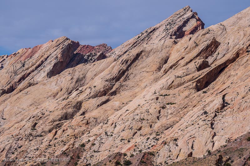
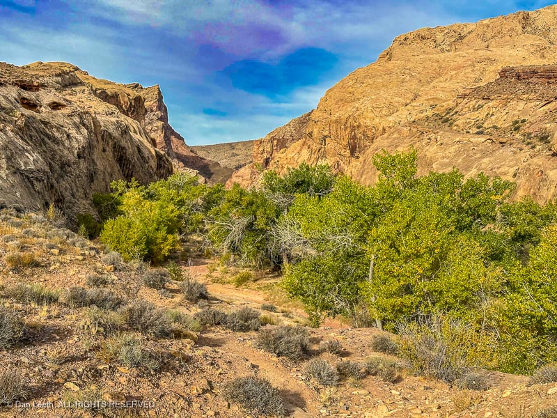
Unlike yesterday’s slot canyons, Straight Wash offers more open terrain bounded by sandstone cliffs.
The hike was around five miles out and back over river rock, around brush and through sand.
Our turnaround point was a huge, cliff-enclosed plunge pool at the base of a redrock pouroff.
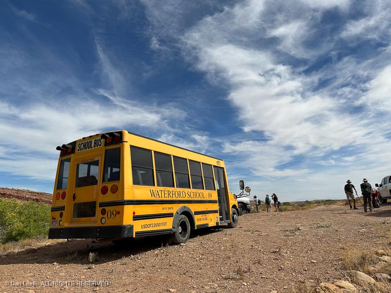
On the way back, we passed a group of high school students from Sandy, Utah. They arrived in a school bus, which we saw parked at the trailhead.
If that big yellow thing could make it in, our Subaru would have had no problem.
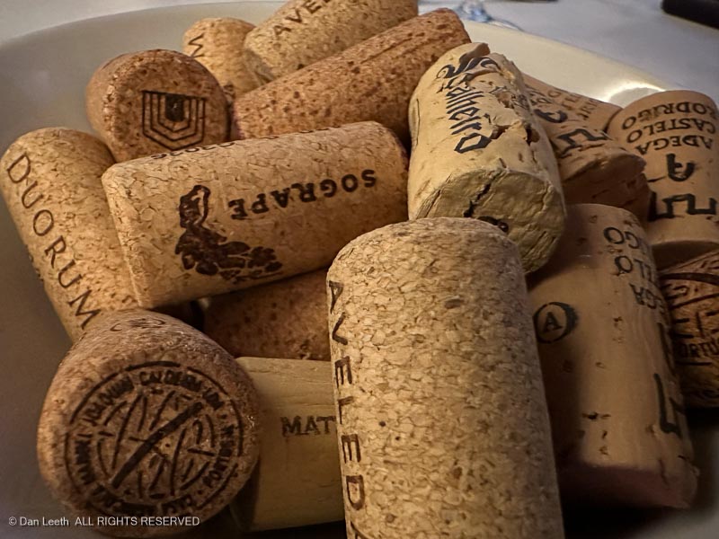
For those who don’t visit establishments that make and sell bottles of fermented grape juice, let me explain that many (if not most) wineries have wine clubs. Membership generally requires one to purchase a set number of bottles annually at a discount price.
Occasionally, wine club membership comes with spectacular fringe benefits. A California winery to which Dianne’s brother belonged, for example, once hosted a Moody Blues concert with wine club participants having an opportunity to dine with members of the band. Dianne was exceedingly envious.
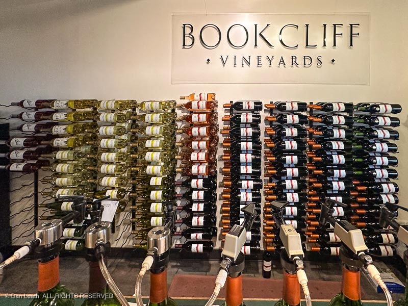
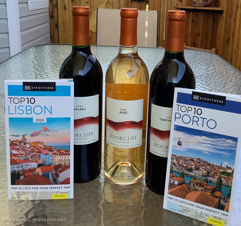
Now that we live in Colorado wine country, my lovely wife joined the wine club at Bookcliff Vineyards, which is located 26 miles away in Palisade.
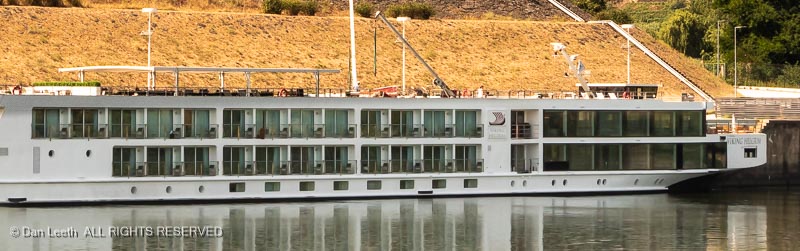
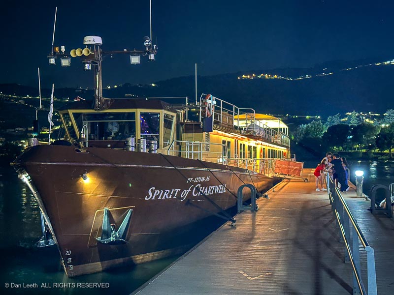
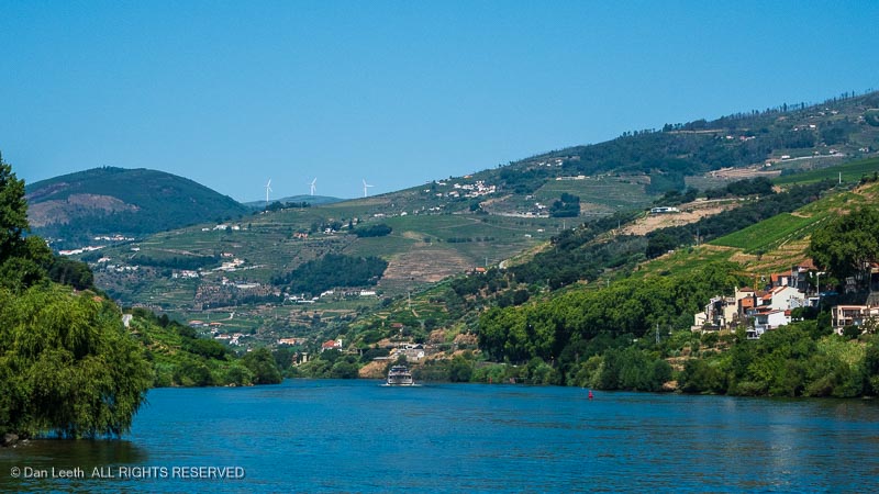
Bookcliff will probably never have the members of the Moody Blues over for dinner, but under the heading of “fringe benefits” this year the winery sponsored a cruise up the Douro River in Portugal, which was exclusively for club members like us.
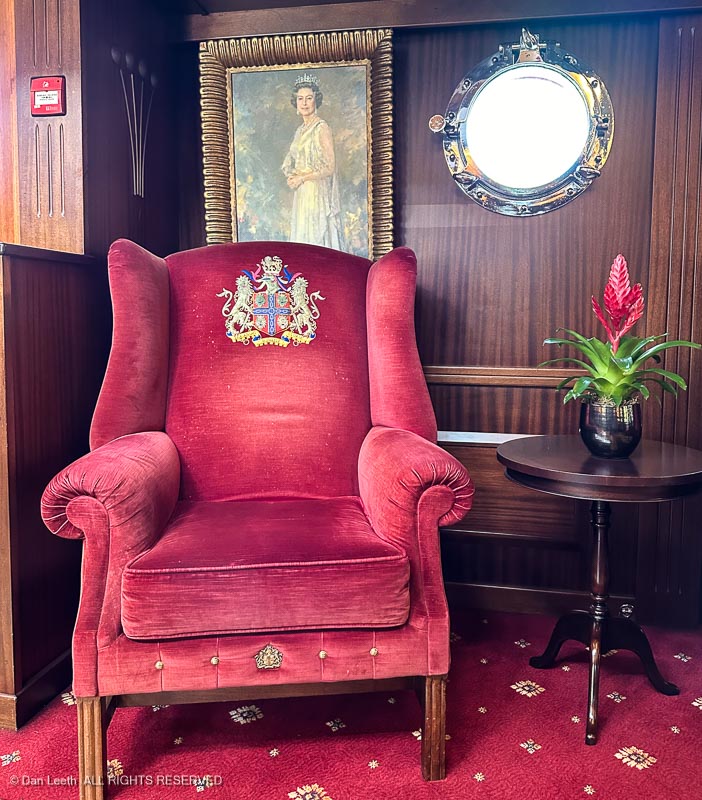
Unlike Viking river cruises, which have up to 190 passengers onboard, the Bookcliff cruise would be on a smaller vessel once used as part of Queen Liz’s Diamond Jubilee celebration.
The Spirit of Chartwell carries only 30 passengers in surroundings fit enough for British royalty, and the trip cost was reasonable (less than Viking).
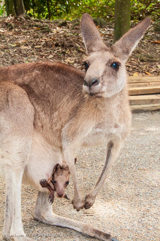
While it would mean postponing our sorta-planned trip to Australia, we decided the kangaroos could wait and immediately signed up to go.
We’d had long talked about taking a river cruise and this seemed to be a good opportunity finally to do it.
Now, Portugal is not my favorite European country. The last time I’d been there was in 1984 as part of our three-month, Eurail tour of Europe. Dianne and I were on a tight budget and stayed in a flophouse on the less opulent side of Lisbon.
Back then, we arrived in town on a Saturday, walked around the city on Sunday, took a day trip to the seaside beaches at Estoril on Monday and departed on Tuesday, hurrying off to Madrid.
In addition to the one-week cruise, this year’s Portugal trip would include three additional weeks of independent train travel around the country. Instead of fleabag lodgings, we would stay in three- and four-star hotels, safely located in the nicer sections of town.
With the trusted assistance of Google, I mapped out an itinerary that gave us multiple days for exploring Portugal’s two largest cities plus we’d enjoy a trio two-night stopovers in three smaller cities close to the coast.
This would be like one of those many trips I made when actively working as a travel journalist, only this time I would only be taking photos for stock sale and a slide show, not doing interviews and recording notes for a story.
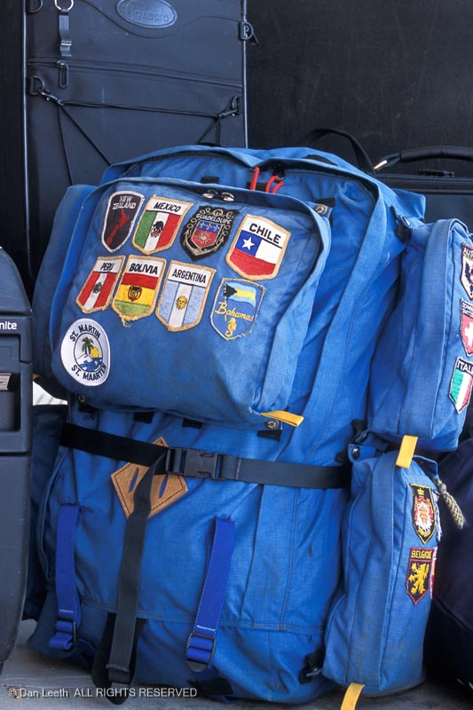
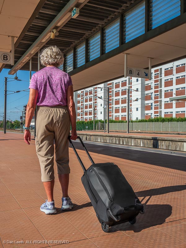
One thing we’ve learned over the years is that less is more. Since we would be traveling much of the time on our own, we needed to be mobile. That meant small, carry-on luggage holding no more than three or four changes of lightweight clothing that could be sink washed and drip dried overnight.
I found some Eagle Creek roller bags at REI (Really Expensive Items) that looked ideal. They were small enough to fit in the aircraft overheads, yet large enough to tote all we’d need for our four-week adventure. Best of all, they had heavy-duty rollers that should stand up to the cobblestone sidewalks of Portugal.
In 1984, we carried no electronics – no cell phones, no iPads, no Kindles, no laptops and no camera battery chargers. On this trip, we had all that crap. That meant we had to also tote along plug and voltage converters.
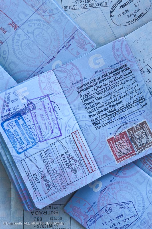
One of the things Rick Steves says I should worry about in Europe are pickpockets. In 1984, we used cloth money belts, which are worn under one’s pants. They work fine until one needs to pay for something. I found it to be a bit embarrassing to have to unzip my trousers to retrieve cash or a credit card.
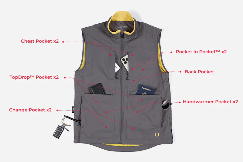
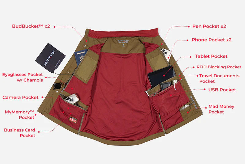
This time we protected our valuables by using ScotteVests, which we got for free years ago at a travel bloggers convention. They have close to a zillion pockets with zippers. While I suppose they’re not totally pickpocket-proof, a thief would have to do a lot of groping to pick the inside pocket into which we had zipped our wallets and passports.
After telling her our plans, our Bookcliff Vineyards travel agent did a fantastic job of booking nice hotels in Lisbon, Porto and near the depots in the three towns we would be visiting by train. With lodging all prepaid, all we had to do was show up and pay the local tax. It’s been years since I’ve worked with a real travel agent when arranging travel, and I highly recommend it.
We spent nearly the full day before our departure packing our roll-on suitcases, which seemed to be shrinking in size. My dresser began collecting a larger and larger pile of things that just weren’t going to fit in my suitcase.
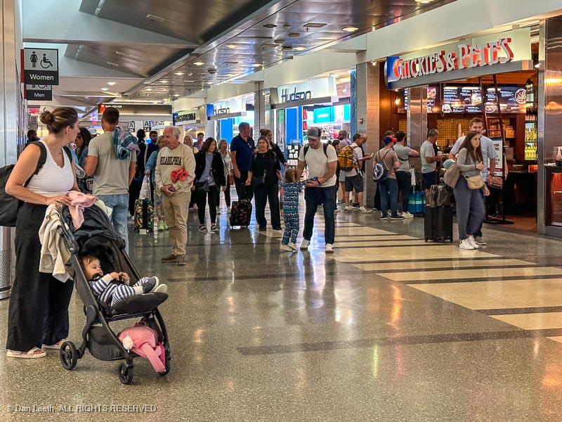
Finally, with bags stuffed, it was time to set the alarm and head for bed. Our taxi to the airport would be here long before sunrise.
Getting from our house in Fruita to our hotel in Lisbon became something of an adventure, the first leg of which involved securing a ride to the Grand Junction airport. Our flight left around dawn and we actually had a friend volunteer to pick us up at 5:00 a.m. and drive us there.
But, of course, that would have been too easy.
Just before our trip, his wife contracted Covid. While the offer to drive remained open, we decided not to risk pre-trip contact with someone who had close contact with a Covid victim. Instead, I called to reserve an early morning taxi.
Since we were going with carry-on luggage and Dianne now sported two titanium knees, I wanted plenty of time to clear TSA at the airport. I asked for a 5:00 a.m. pickup. The reservationist told me taxis have a thirty-minute window, which meant our 5:00 driver may not be there until 5:30. I changed the pickup time to 4:45 a.m. and set the alarm for 3:45.
After fewer than five hours of shuteye, we got up, brushed teeth and zipped up our suitcases. As I was taking out the trash, the taxi pulled into the driveway, a full 25 minutes early. We blindly wheeled our suitcases out and piled into the vehicle.
Two miles later, I realized that in the rush to depart, I had left my wallet on the dresser. The driver reversed direction, and with the meter running , he drove us back home. Wallet retrieved, we departed a second time for the airport. It was now 4:45, our originally scheduled pickup time.
At the airport, we blitzed through security with our shoes on, computer still in its briefcase and our Ziploc bag of liquids still tucked away in the suitcase. We ordered breakfast burritos (and coffee) from the airport cafeteria and waited for our flight to be called.
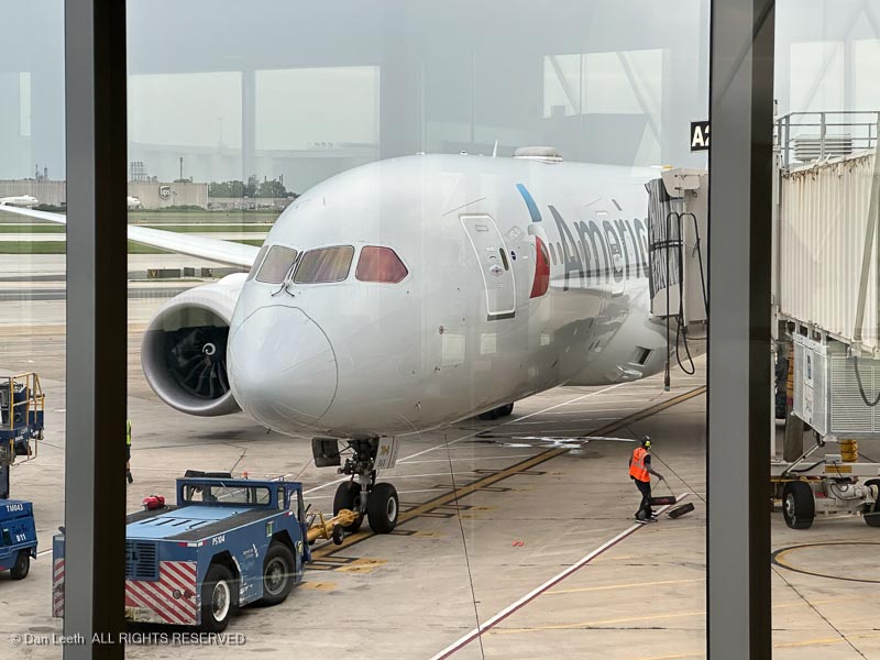
I had a bunch of United Miles I’d collected over the years, which we used to upgrade our seating to first class. That’s not much of a benefit on the 77-minute flight to Gridlock Gulch, but at least we got to board early and found plenty of overhead space for our roll-on suitcases.
We landed in Denver pretty much on time, wheeled our gear down to our next departure gate and were soon on our way to Philadelphia. Once again, we sat in the front of the plane, this time being treated to free wine and hot lunches. Mine was something claiming to be a trio of enchiladas, and while it did not resemble anything one would find at any of our local Mexican restaurants, it sure beat the bag of pretzels the folks got in steerage.
In Philly, we landed on concourse D and had to make our way to the international terminal at concourse A. I think Dianne got her 10,000 steps as we walked from one to the other. I had free day passes to the United Lounge, but a sign out front advised “no day passes” today. I thought about paying the $50 per person fee to use the American Lounge, but Dianne did not want to waste more of our kids’ inheritance (we have no kids). Instead, we sat in the terminal like real people.
Our departure gate assignment changed and then changed again. We ultimately waited at what they promised would be the actual gate. A plane sat there, but it was apparently not ours. It was eventually wheeled away, with nothing yet taking its place.
Boarding time approached with still no plane at the gate. The flight crew arrived and waited in the jetway for a plane to arrive. Eventually, an empty Boeing 787 pulled up and the flight crew boarded. A half hour later, we passengers were allowed to board.
Over the years as a travel journalist, I accumulated a plethora of American Airlines frequent flyer miles. We added to our stash by using an American Airlines credit card to pay all of our bills.
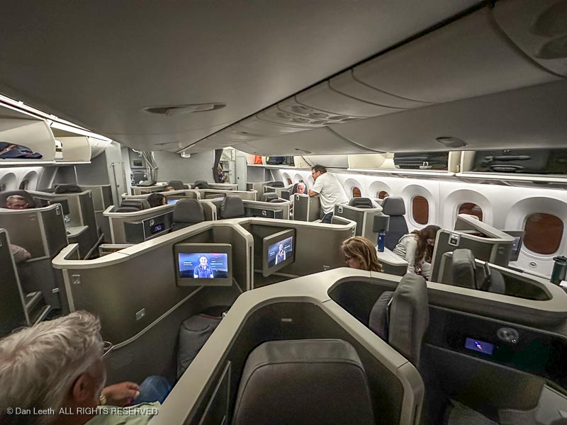
When we booked the flights, we had well over a half-million miles. We used a bunch of those to secure business-class seats for the night flight across the Atlantic.
I’ve flown business class on several different airlines, but I’d never seen a setup like this. Every seat was enclosed in its own little compartment. Each came with a bag holding a warm blanket and large pillow.
With a push of a button, our seats would go from upright to lying flat. After devouring our three-course dinners, we turned our seats into beds, unbagged our blankets and pillows and got a few hours sleep.
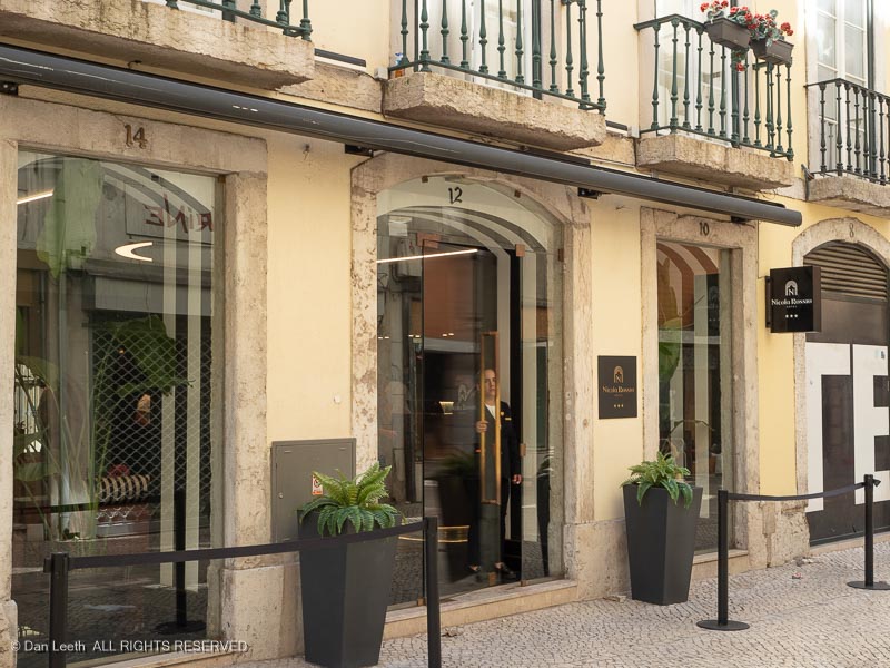
We landed in Lisbon around an hour late. After breezing through Immigration and Customs, we were soon out in the terminal looking for our prearranged transfer driver to take us to our hotel. The Lisbon airport has a specific location where drivers meet their passengers with large boards onto which drivers can post passenger names. We looked, but didn’t see our name posted. As I was doubling back for a second look, a woman approached and asked if I was Dan Leeth.
Twenty minutes later we were being blitzed through Lisbon, reminding ourselves once again of why we never rent cars in foreign countries. The driver dropped us off at a street corner. Pointing up a pedestrian walkway, he said, “Your hotel is up there.”
As we lugged our bags up a cobblestone alleyway, something didn’t seem right. So, I did what any good American male would do. I clicked on Google Maps. It turned out that we misunderstood the driver’s instructions and were heading in the wrong direction.
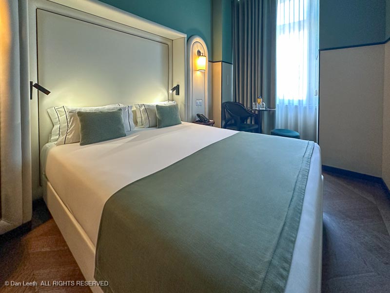
Retreating back down the alleyway, Dianne did what any good American female would do. She ducked into a restaurant and asked where our hotel was located. We quickly found our lodgings a few dozen meters from where the driver let us off.
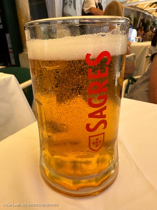
We checked in, took our bags to our room and immediately proceeded to do what any good American traveler does in new surroundings. We bought beer.
In my experience, there are two types of travelers:
The good ones study their guidebook like it’s the Bible, outline all of the sites and museums they want to see and plot a route to cover them all in the time available.
When folks back home ask if they saw such-and-such, they can truthfully say yes, they did.
That, of course, is not my style. I’m a person who may glance at the guidebook to get a general idea of what’s available, then pretty much ignore it on site.
Instead of rushing off to hit all the tourist targets, I prefer to just wander around and get an intuitive feel for a place. That’s what we did in Lisbon.
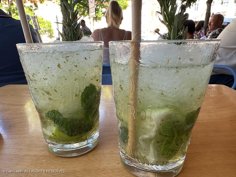
We landed on Friday and did little more than walk around the hotel area. After dining at a sidewalk café (happy hour mojitos for 5€ each), we fought jet lag with a long night’s sleep.
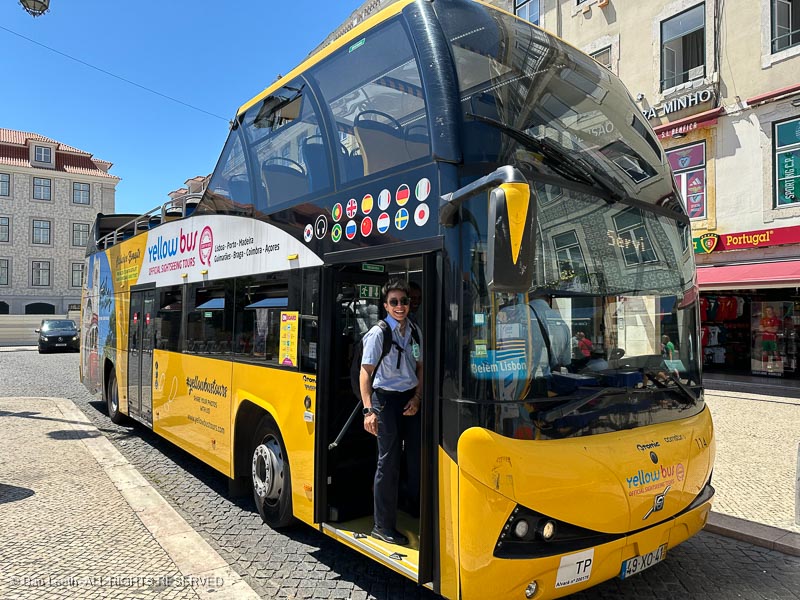
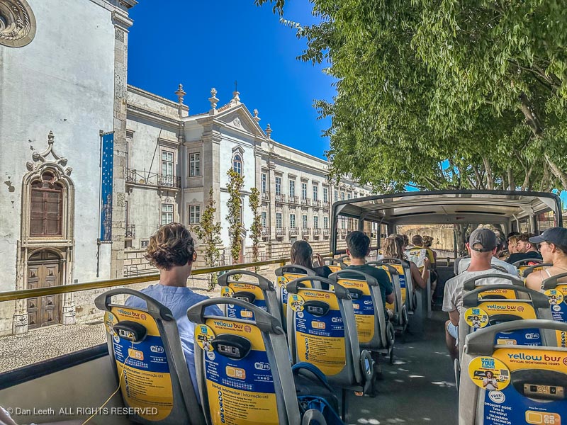
I had prebooked four-day tickets for one of Lisbon’s hop-on, hop-off bus tours. The busses follow a fixed route with a number of predetermined stops where passengers can hop off, explore an area and then hop back on a follow-up bus.
There were several companies offering this service, and after careful consideration, I chose the Yellow Bus company, which offers two routes with a collective total of 25 stops.
Saturday was bus riding day. We would ride both routes, looking for neighborhoods we would explore over the following days. Riders are given earbuds, which we can plug in and get a narration about sights along the way delivered in a language of our choice. Not being fascinated by the names of the architects who designed various buildings, I found the audio somewhat boring.
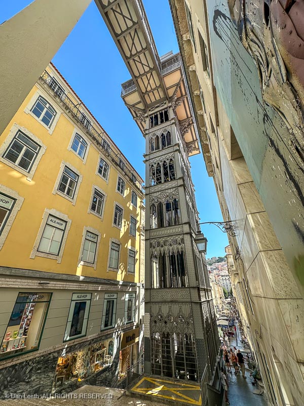
Sunday would be a walk-around day. Our bus tickets also covered a ride up the Santa Justa lift, an outdoor elevator that opened in 1901. Located near our hotel, we decided to ride it up and explore the Carmo Square neighborhood above.
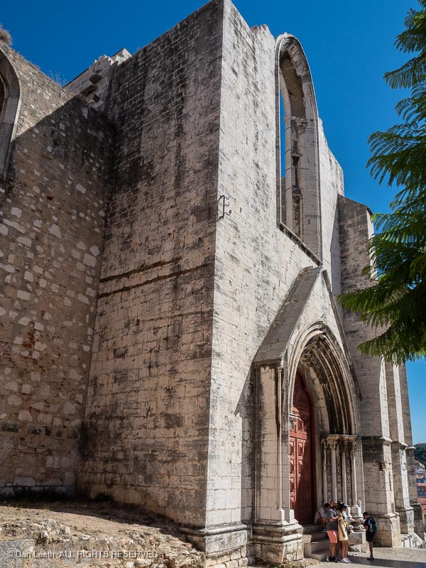
Up there, we went past the Carmo Convent…
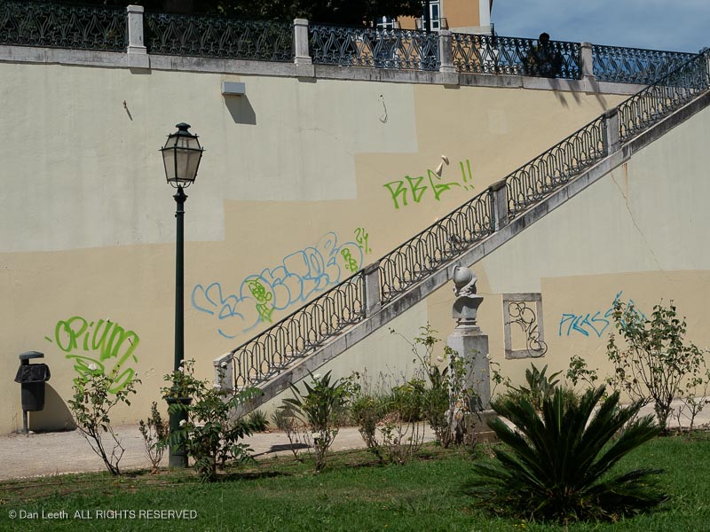
…and wandered around a terraced park with sculptured busts missing from posts and walls sprayed with graffiti.
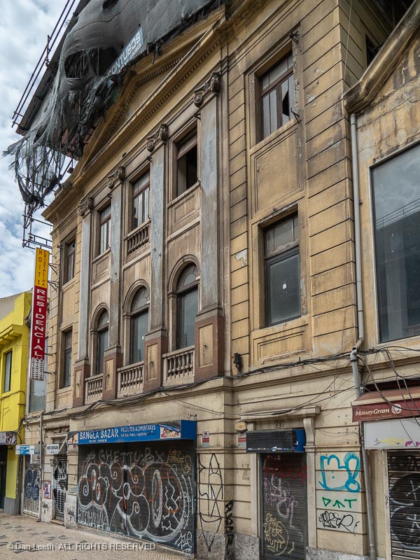
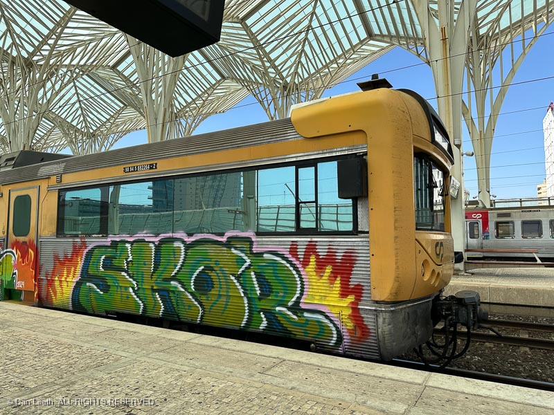
Graffiti, or tagging, is rampant in Lisbon. Abandoned buildings and walls sport ample amounts of paint, effectively ruining photo ops for those of us who want to capture clean views of historic structures. Even passenger trains have become the canvases for the graffiti “artists.”
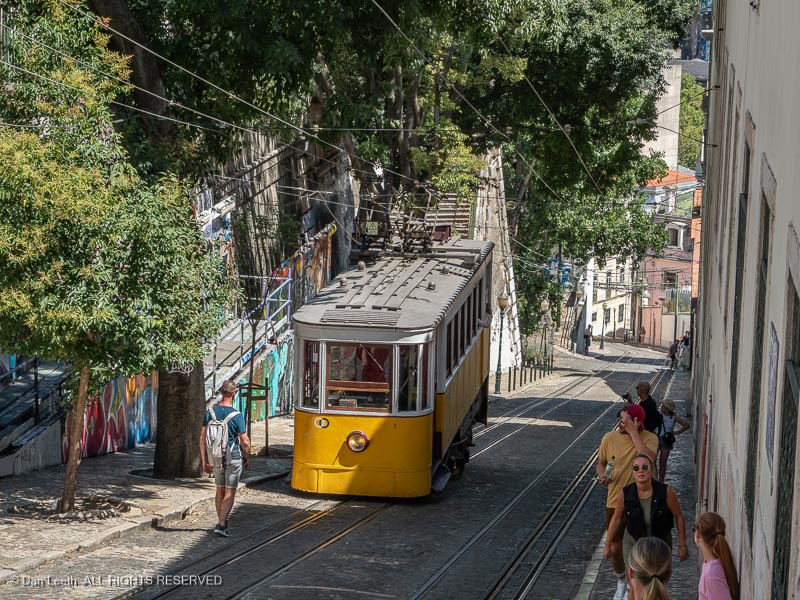
Since Dianne’s new knee doesn’t like downhill walking, we left our lofty location on the Gloria Funicular (also included in our bus package)…
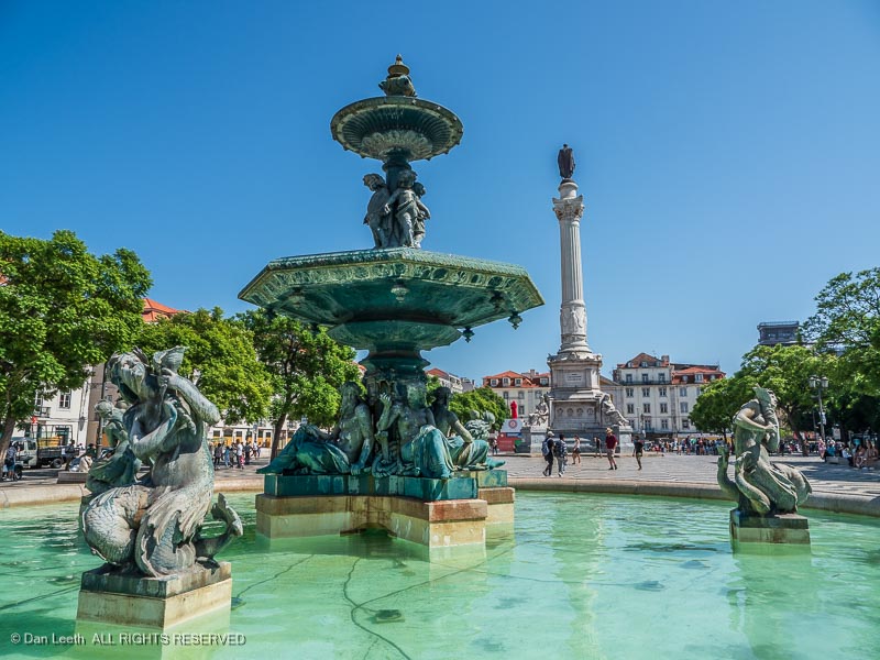
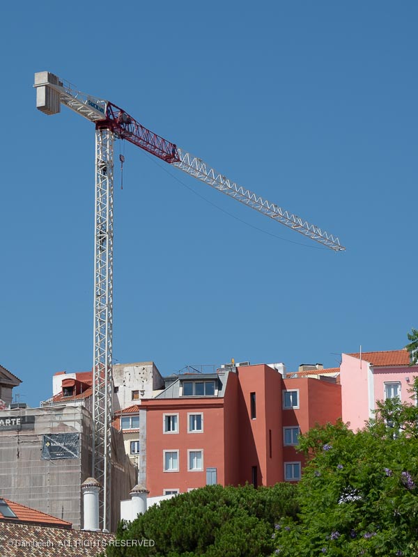
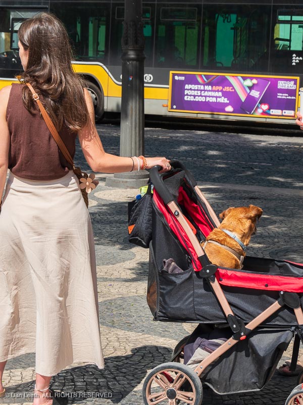
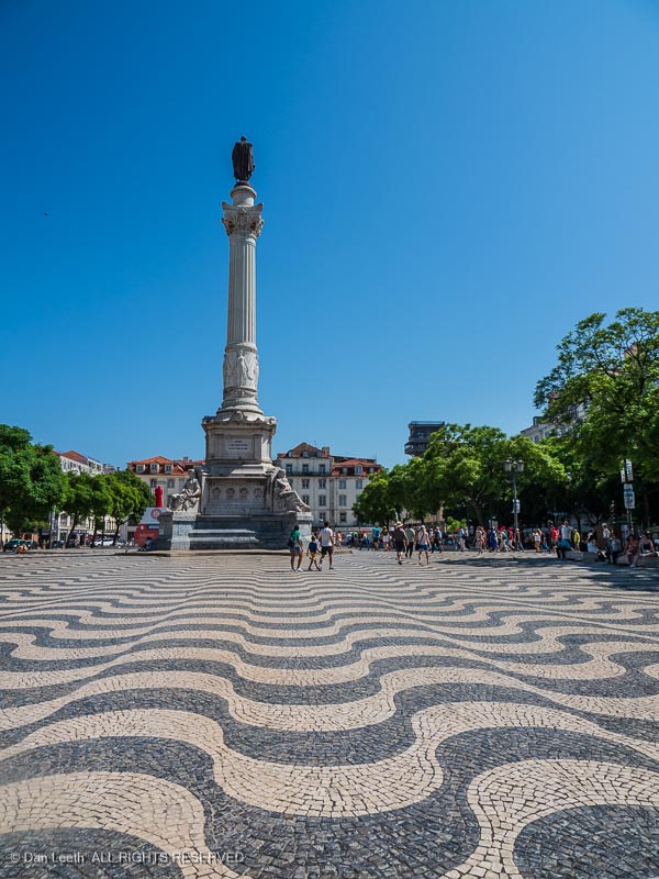
…back down to hotel level off Rossio Square. This open area features the usual European standbys such as statues and fountains…
…construction cranes…
…and locals out walking their dogs.
The cobblestones in Praça do Rossio are laid in a wave pattern that made it seem like we were walking on a rolling surface.
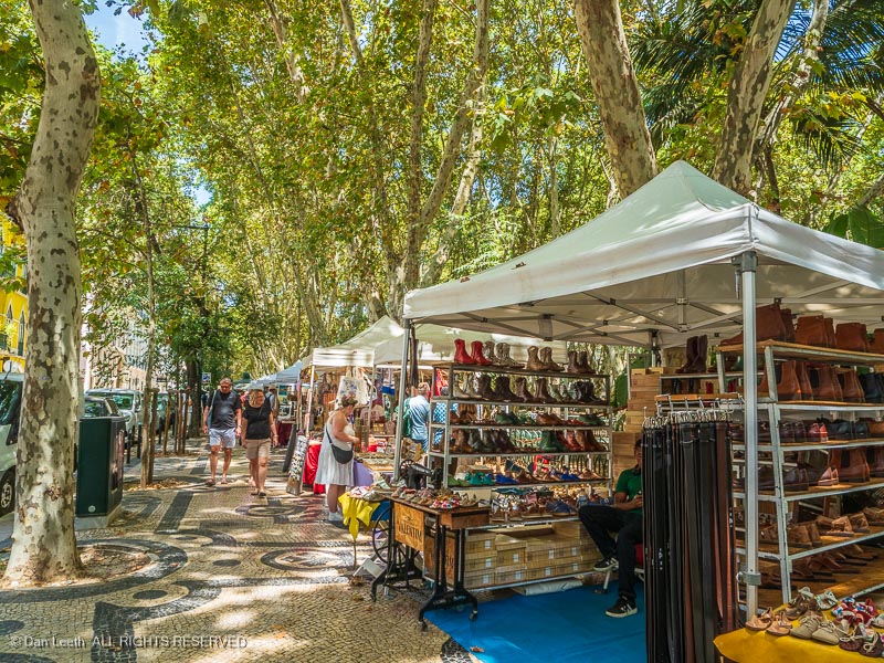
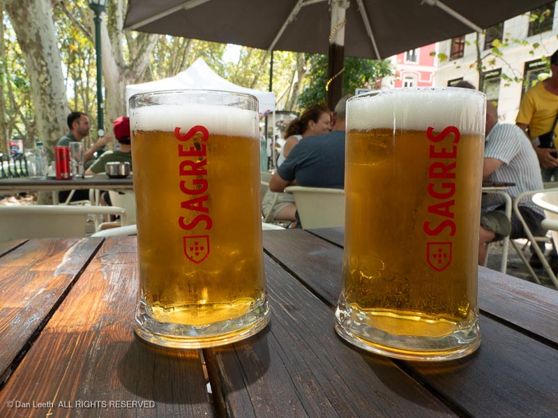
The day was young, so we decided to take a walk up Avenida da Liberdade, a broad, shady, park-like median between two streets we had traveled on our bus route. The route was packed with vendors peddling everything from footwear…
…to beer.
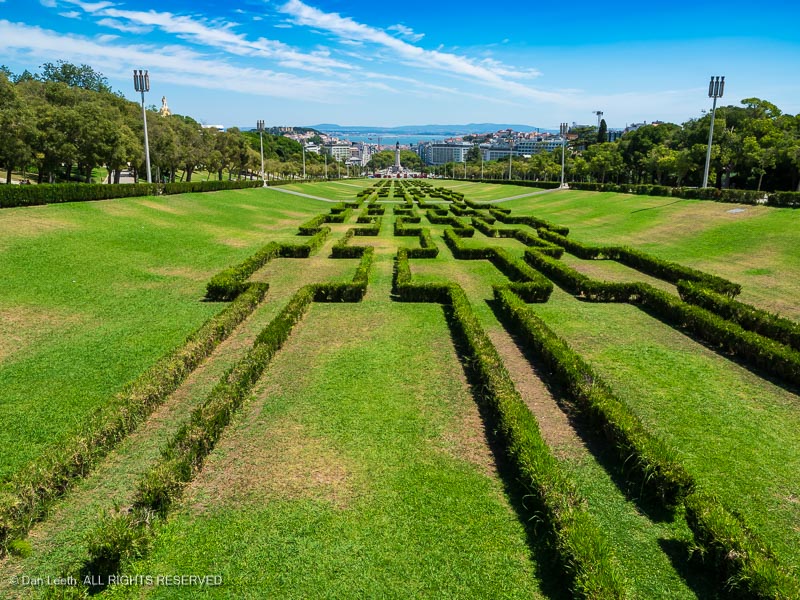
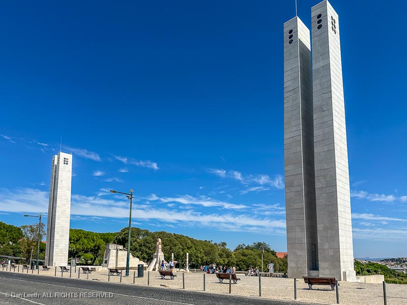
The avenue led to Edward VII Park, a long stretch of grass and hedges that led up a hillside flanked by cobblestone walkways. We headed up.
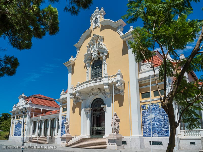
Near the top, we stopped at the Carlos Lopes pavilion, a building decorated in Portuguese tiles that was originally built for the International Exhibition of Rio de Janeiro in 1922. It was dismantled and brought to Lisbon ten years later.
The park ends at a spectacular overlook flanked by a pair of towering obelisks. This was stop number 5 on one of our bus routes. We waited for the next bus, got onboard and headed back down to a public square near our hotel.
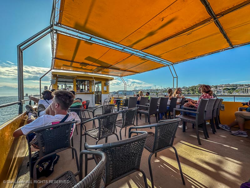
That evening, we walked down to the waterfront where we caught a boat tour, which was also included in our package.
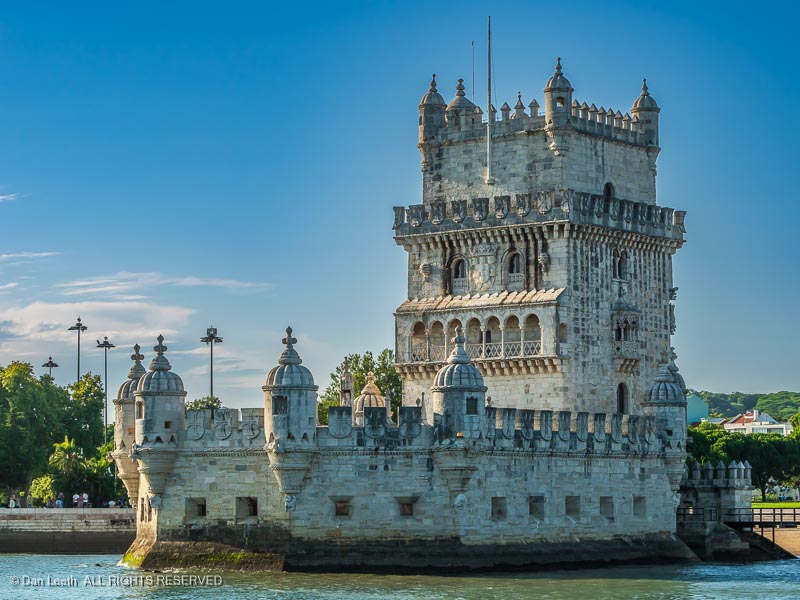
The boat ride give us a different view of some of the things we had seen from land, such as the Tower of Belem, a 16th century fortification…
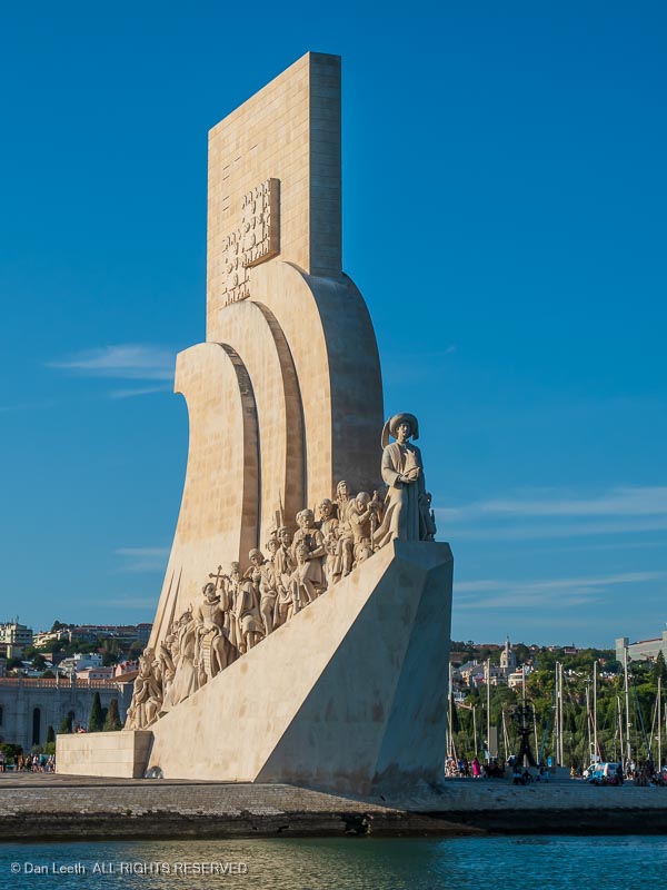
…and the Monument of the Discoveries, a sculpture honoring the Portuguese sailors who forged new routes to Asia, the Americas and around the world.
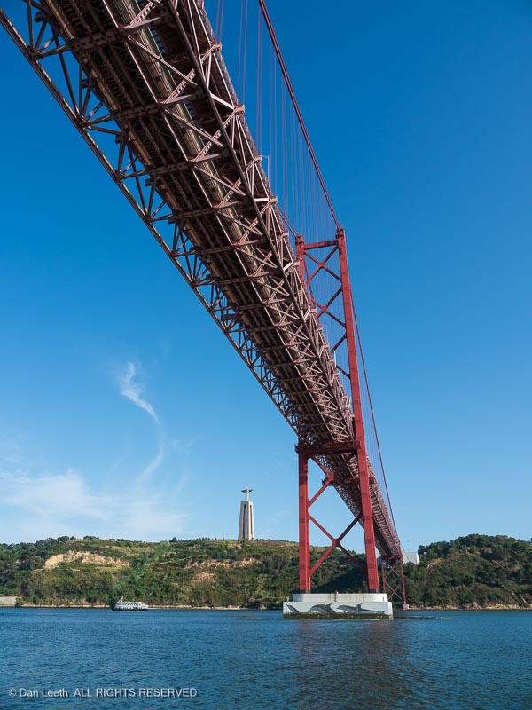
We passed under the April 25 suspension bridge, its name commemorating the Carnation Revolution which overthrew the authoritarian government on that day in 1974.
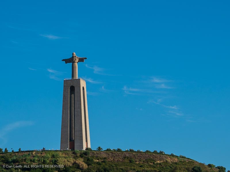
Atop a hill on the far side of the bridge stands the Cristo Rei, Christ the King. The statue, looks quite similar to the Christ the Redeemer statue in Rio de Janeiro, Brazil.
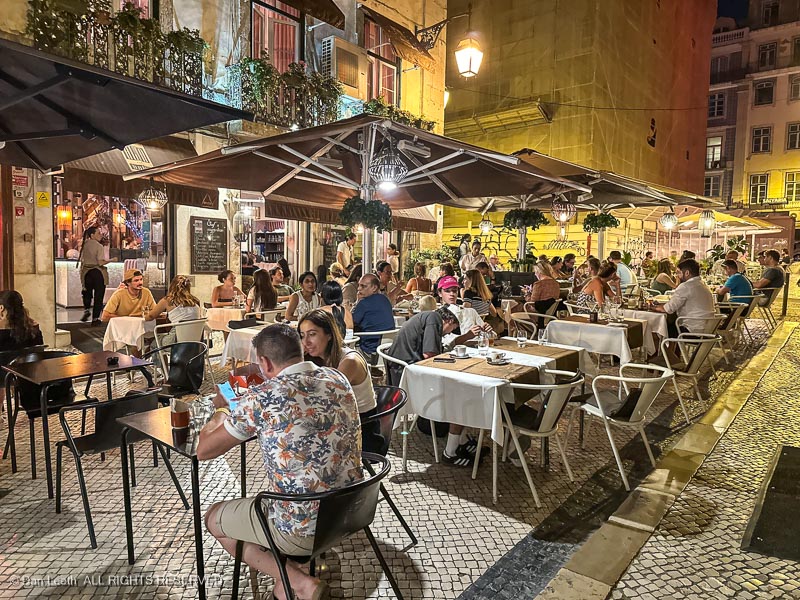
Back on land, our evening walk back to the hotel was interrupted by guitar music coming from an al fresco restaurant on a side street. We found an empty table, ordered dinner and wine, and enjoyed a pleasant night dining with pleasant background music.
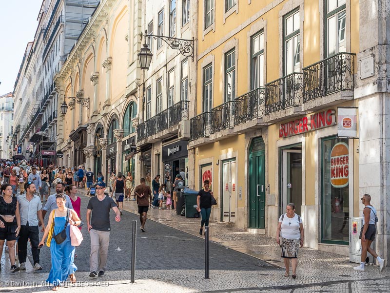
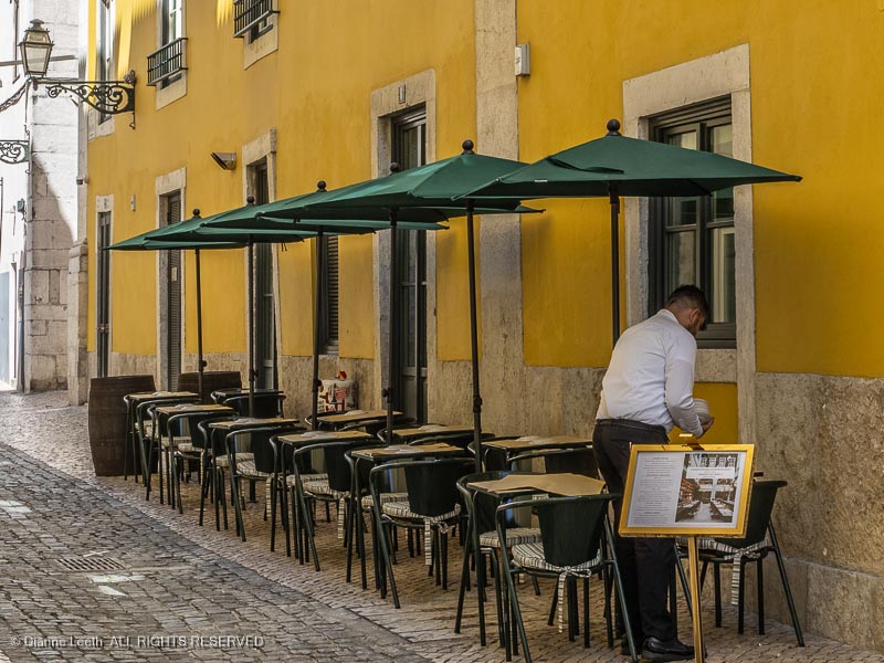
Sidewalk dining was one of the treats of Lisbon. It seemed like every street in the more touristy areas of Lisbon was lined with restaurants offering al fresco dining. We had three such eateries located in front of our hotel. Almost everywhere, the wait staff spoke English and offered menus with English translations.