

Every year, our little farm town gets the jump on the competition by putting on it’s impressive, Fourth of July fireworks display on the Third of July. They’re fired from Snooks Bottom, which is almost directly across the Grand River from the James M. Robb Colorado River State Park Fruita Section.
We figured we would grab a bottle of wine, pick up some sandies from Jimmy John’s and head over to the park sometime in the early evening for the show. Dianne stopped by to check it out after church.
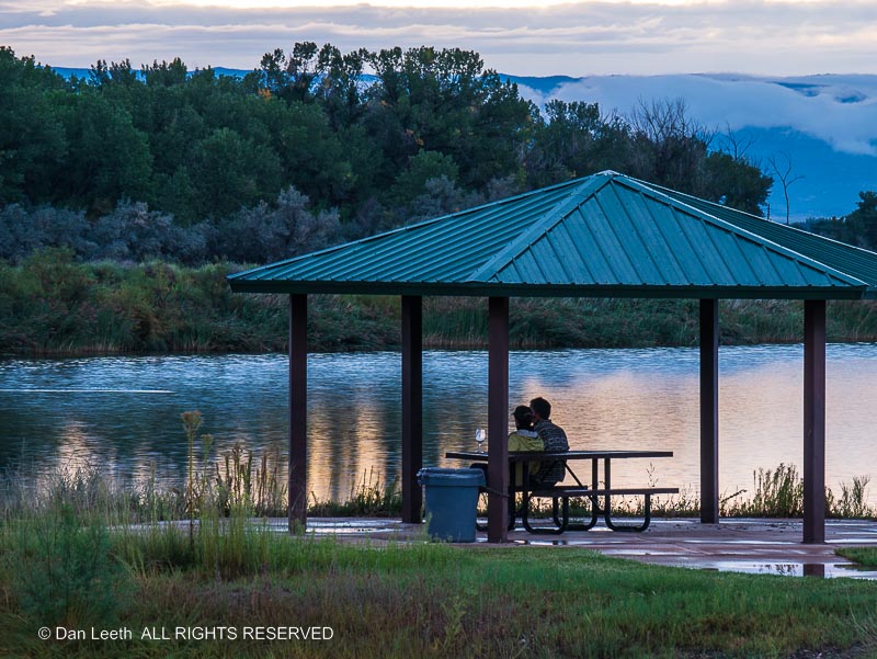
“Space is limited and the entrance will be closed when the parking lot fills,” the gatekeeper at the park told Dianne. “This is a really popular place. You’d better get here before 5:00 p.m. in the evening to be assured entry.”
Dianne saw what looked to be some empty campsites at the park. Robb Fruita is an extremely popular campground, usually requiring reservations months in advance. The folks who reserved those sites probably hadn’t yet arrived, we assumed.
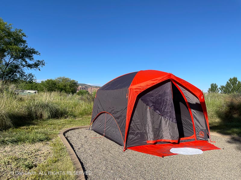
Anticipating disappointment, I went online just to check it out. By some quirk of fate, one site with electricity, water and a tent pad remained available for tonight.
“Damn the credit card balance!” I screamed, giving it my best Admiral Farragut imitation. “Full speed ahead!” With my fingers flying across the keyboard, I snapped up the site.
At first, we thought we’d just use the campsite as a viewing platform and head home after the show was over. Then we got to thinking. We had never put up our replacement tent for the one that was stolen and we’d never tested our new full-size air mattress in the tent. We could use this as an opportunity to check everything out.
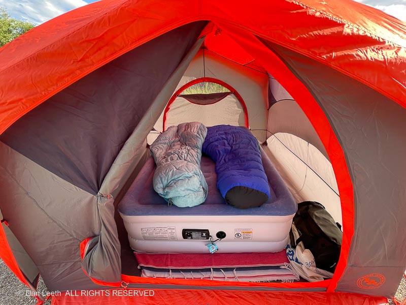
We got the new tent set up almost as if we knew what we were doing. The extension cord I brought, however, wasn’t long enough to reach the air mattress inflator. A quick trip home (about three miles) to grab a longer one solved that problem. Hamburgers were soon sizzling on the grill (a replacement for the one stolen) and the first bottle of wine (a nice Cab from South Australia) was opened.
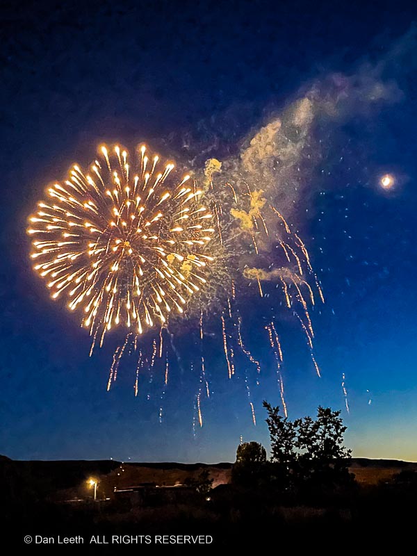
We invited some friends from the south side of the tracks to join us. The four of us toted our folding chairs to a gravely clearing a dozen yards from the campsite and watched as Fruita celebrated American Independence with flaming displays of Chinese gunpowder.
A few years ago, Dianne’s younger brother attended a concert at one of the wineries in Calaveras County, not far from his home in California. Dianne was so jealous. The band was the Moody Blues, and my lovely wife is a longtime fan who owns every record they’ve ever made.
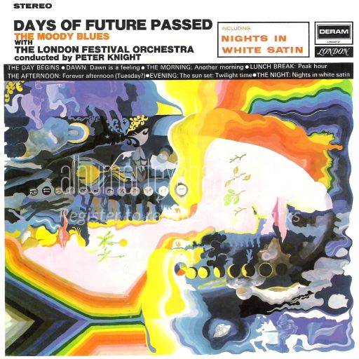
Well, we have concerts at our wineries out here in the Grand Valley. They feature local bands who haven’t quite achieved the success of that British group her brother saw in California.
The local Art Center Guild sponsors monthly “Music in the Grapevines” concerts at Two Rivers Winery, which is located a few miles down the road from us. They’re held on summer evenings, and patrons can bring a picnic dinner with wine available for purchase by the bottle or glass.
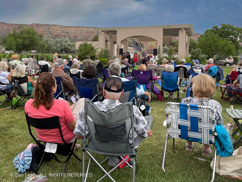
Where I grew up, a picnic meant chicken. Dianne dutifully air fried a bird in her new oven. We bought a chilled bottle of Chardonnay to go with the main course. For dessert, it was chocolate brownies with a glass of the winery’s Vintner’s Blend red.
The band played some country-rock tunes including a few Marshall Tucker covers. It was fun to sit back, sip wine, listen to the music and just enjoy the surroundings. We were so impressed, we’ve already bought tickets (a mere $15 each in advance) to the July grapevine event at Two Rivers.
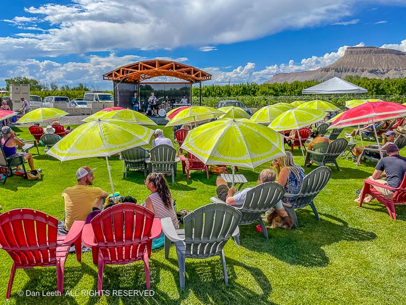
On Saturday, we joined friends for the weekly “Band in the Barrel Music Series” at the Restoration Vineyards out in Palisade. Concerts there are held in the afternoon, so for our heat-hating, Midwestern-refugee friends, shade was a must. Fortunately, there are plenty of umbrellas planted for couples and their dogs. Our party managed to commandeer a table under a small awning.
Decades ago, Dianne and I bought tickets to a concert in Boulder featuring a new group from Canada called the Cowboy Junkies. The event took place in a bar. Patrons were playing pool, chatting away and not paying a lick of attention to the band that they paid to see.
The event at the Restoration Vineyards was a lot like that. Behind us, folks played a thumping game of corn hole. Our group was engaged in never ending conversation. The band’s amps were turned down low, so the music never reached us anyway.
I have no idea what they played, but it didn’t matter. The camaraderie was pleasant, the wine tasty and the band was definitely not the Moody Blues.
Colorado certainly has some unusual festivals.
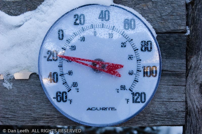
In Nederland every March, they celebrate “Frozen Dead Guy Days” with a weekend-long event honoring the dead guy who remains cryogenically frozen in town.
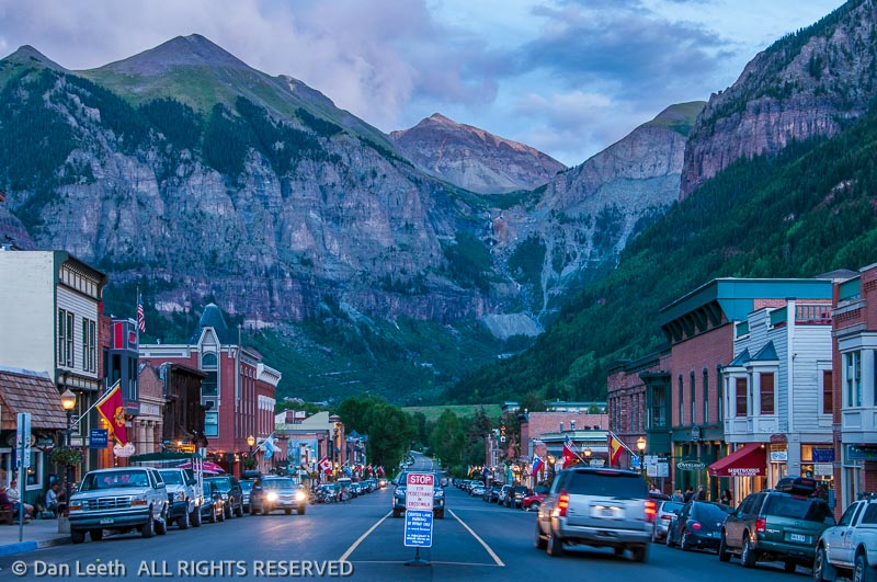
In the middle of July, Telluride celebrates their “Nothing Festival,” a weekend event celebrating absolutely nothing.
Out here in Fruita, we have the annual “Mike the Headless Chicken Festival.”
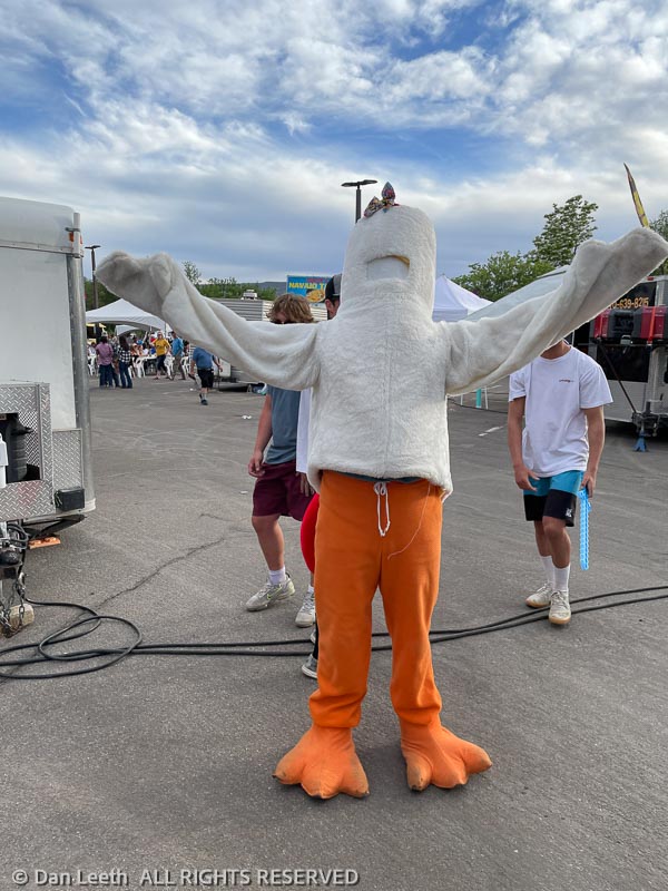
The event celebrates the life of a young rooster that had its head cut off but refused to die. The repentant farmer kept the bird, feeding the feathered survivor with an eyedropper. The rooster lived for 18 months in his headless state.
[The story of Mike can be found at https://www.miketheheadlesschicken.org/mike/page/history.]
Fruita’s noggin-knocking event features a pancake breakfast (we didn’t attend), a 5K run (we didn’t suit up), a disk golf tournament (we left our Frisbees at home) and a car show featuring some pretty attractive machinery (we didn’t enter our trailer-towing truck).
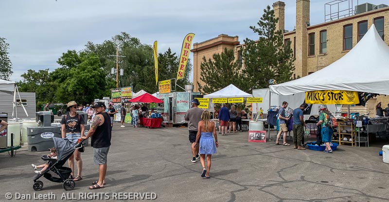
There were vendors (mostly selling clothing items), food trucks, a beer tent and a grassy lawn with a stage featuring concerts by local musicians.
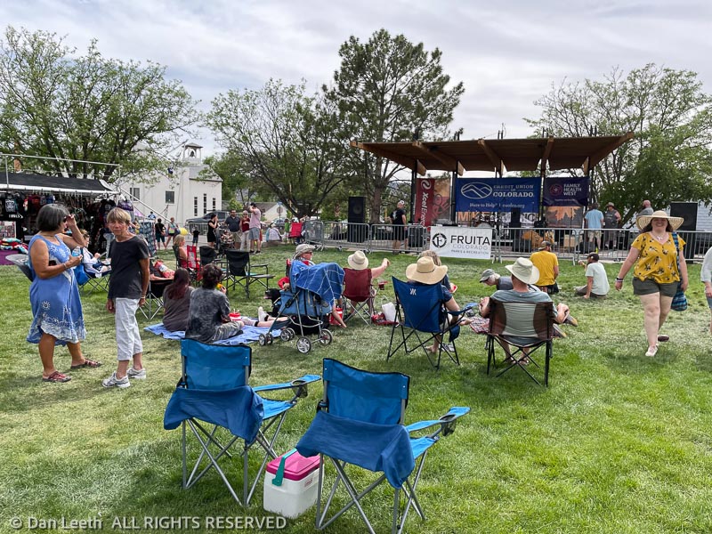
We caught Stray Grass, our favorite local blue grass band along with Head for the Hills, a blue grass band from Fort Collins.
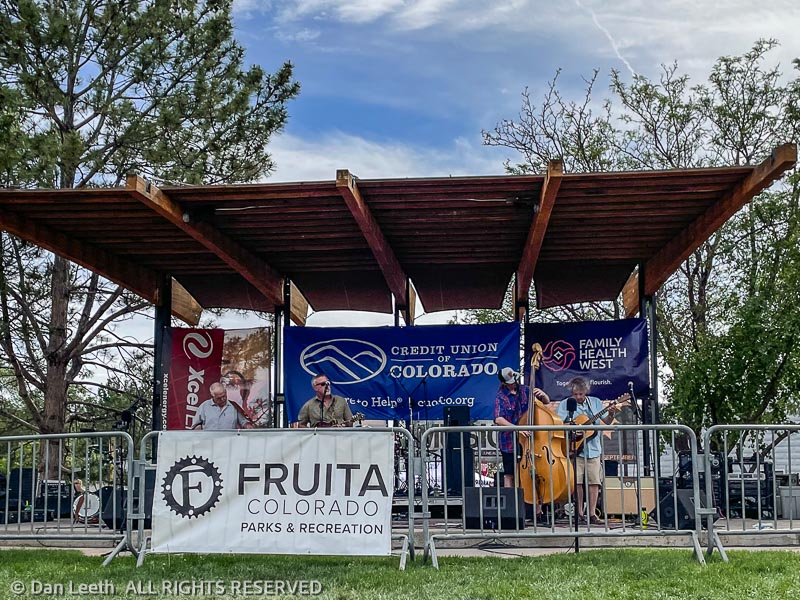
Between sets, we slurped down brews from one of the local brew pubs. Hitting the roach coaches for dinner, Dianne ordered a barbecue pork sandwich while I honored the festival’s origin with an order of chicken wings (chicken heads was not an option).

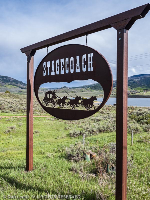
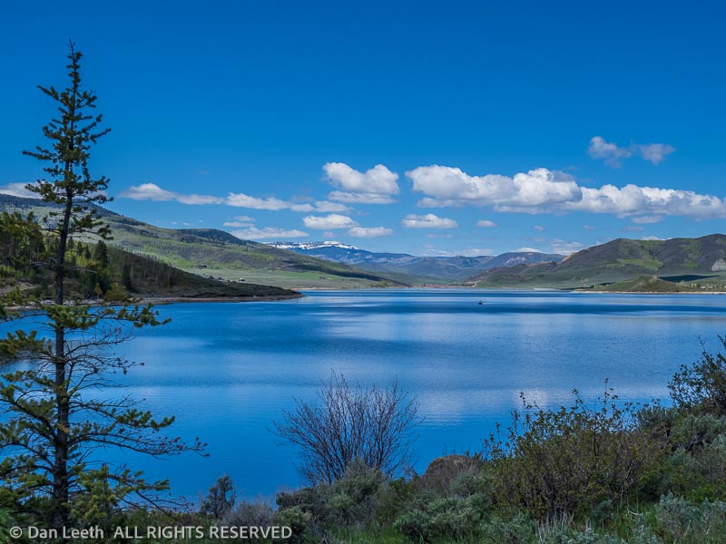
After three weeks into our new house, it was time to take a break and go on a four-night camping excursion. Our destination was Stagecoach State Park, which lies a few miles south of Steamboat Springs. We would be joining a pair of fellow Colorado Mountain Club (CMC) members on an unofficial social outing sponsored by the CMC’s Western Slope Group.
Our original plan was to take the trailer, so we booked an electrical-hookup site. After spending almost eight months in the trailer since September 1st, we thought it might be more fun to camp in the tent and try out our new inflatable mattress. A look at the predicted temperatures (lows in the 20s) changed that plan. So, we loaded our trusty domicile on wheels and headed up.
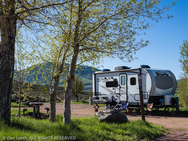
Like most Colorado State Parks, Stagecoach surrounds a reservoir, this one the result of a dam plugging the Yampa River. The reservoir is large enough to allow motorboats and waterskiing, none of which was happening in the cool, pre-Memorial Day time we were up there. We saw only anglers, kayakers and stand-up paddleboarders out on the water.

Even though this was not an official CMC trip, I anticipated it would involve three days of peak bagging. Fortunately, the other couple were not gung-ho peak baggers, which left us pretty much free to do what we wanted. We started by checking out some of the more affordable properties in the area.
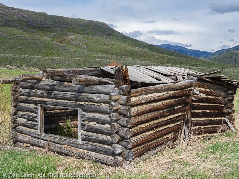
The first day, Dianne and I drove up through Steamboat Springs, gagging on all the new development that is (to borrow a phrase from Utah writer Jim Stiles) morphing the Steamboat at the speed of greed.
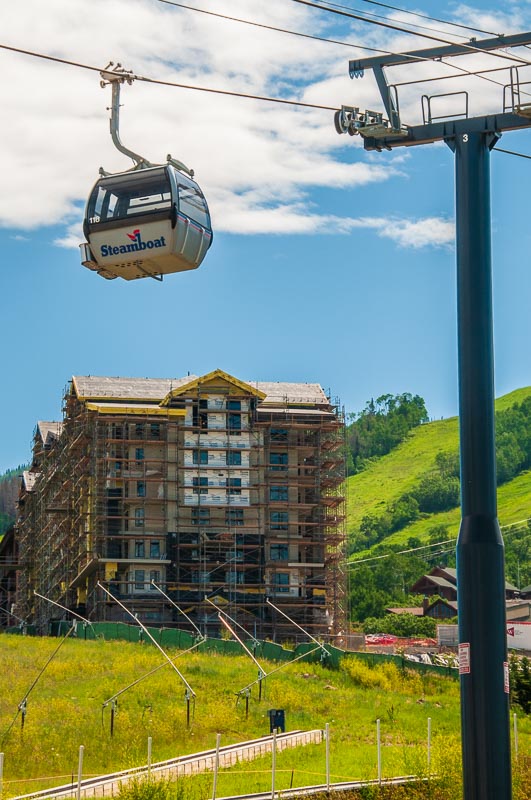
After trying to spot the ski area from behind all the new condos, we headed north through the ranching town of Clark and on to check out Pearl and Steamboat Lake State Parks for future trips. Pearl was closed, but we did get a glimpse of Steamboat Lake and surveyed several attractive campsites there.
The next day, Dianne and I along with fellow CMC member Becky Gray hiked the five-mile Elk Run Trail along the southeastern side of the reservoir. We saw nary an elk running or otherwise. Becky’s husband, Chuck, provided Uber service for us, driving us back to the dam where we parked our truck.
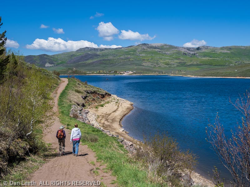
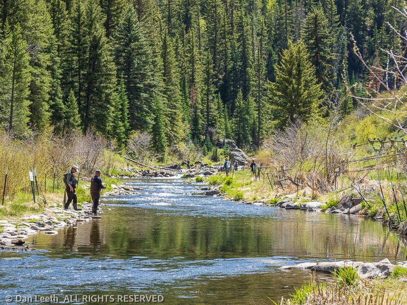
On our final full day, we wandered around the park capturing photos of the reservoir and the tailwaters below the dam. It’s quite possible that this trip will hit the pages of a springtime edition of Colorado Life Magazine.
Driving back to Fruita on Interstate 70, it hit us that this was the first time we were actually heading home by driving west on this portion of the highway. Traffic was relatively light. I can only imagine what it would been like heading into Denver at the start of this three-day holiday weekend.
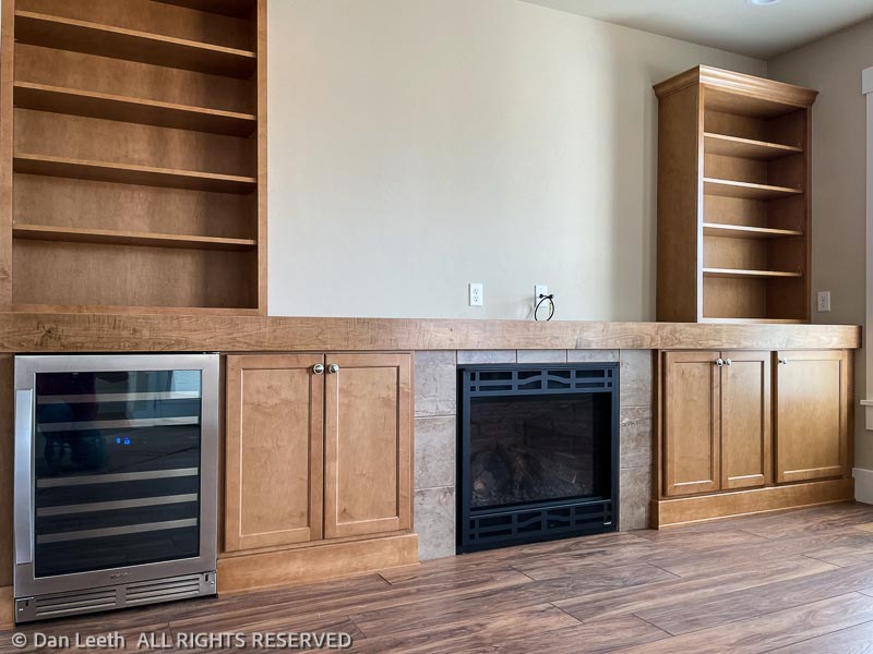
We did a walk-through of our new house on Monday, May 2nd, and closed on May 3rd. We’re missing a few pieces like the decorative front door window, the gate to the patio and the epoxy coatings on the garage and patio deck concrete, but we don’t care. We’re finally in our new domicile!
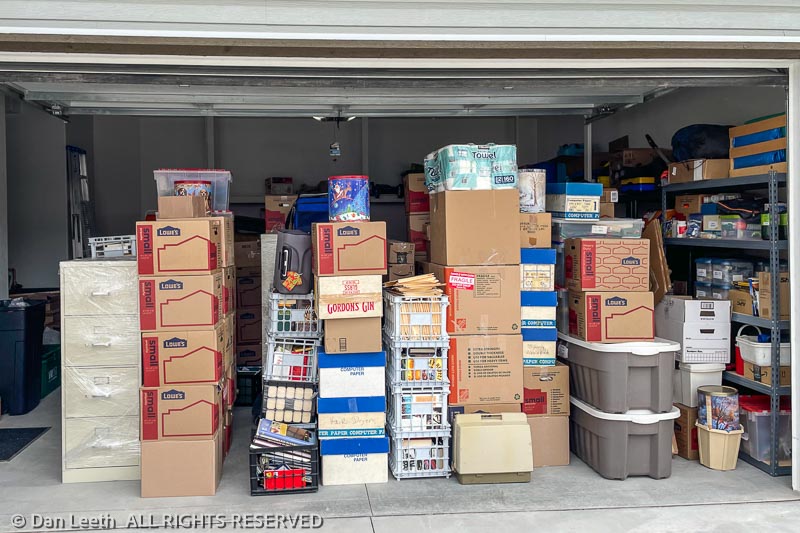
On May 4th, we moved everything from our largest Fruita storage locker over to our new garage. On the 5th, we celebrated Cinco de Mayo by moving our trailer over to the Village RV storage lot.
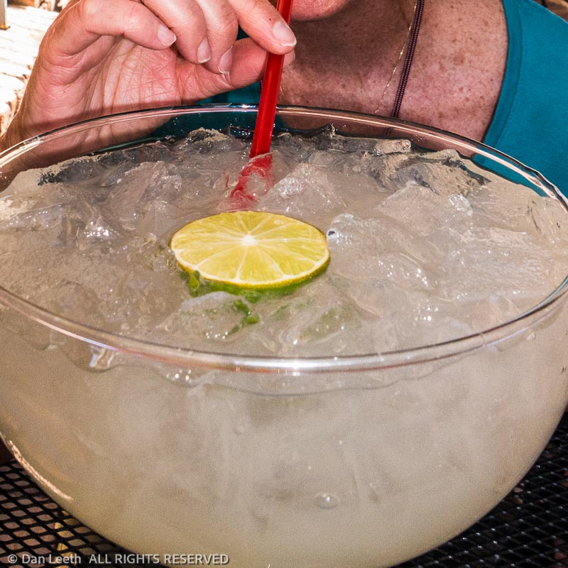
After the required Cinco de Mayo burritos and maggies at one of our favorite Fruita eateries, we spent our fist night in the new dwelling. Lacking real furniture, we bunked down on our newest tent-camping investment – a large, inflatable air mattress.
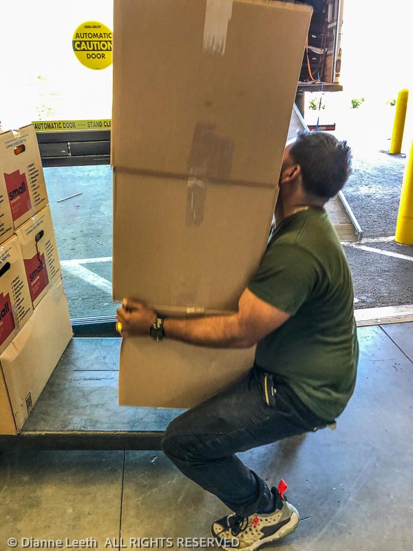
On Saturday, we made a drive over the hill to Gridlock City and bunked down in a La Quinta motel near our storage lockers. On Monday, the movers arrived and began loading up two trucks with our furniture and boxed belongings.
After saying goodbye to our longtime wine guy (we’ve been buying wine from Will since 1984) at the neighborhood liquor store, we put Denver behind us and drove back to the Grand Valley.
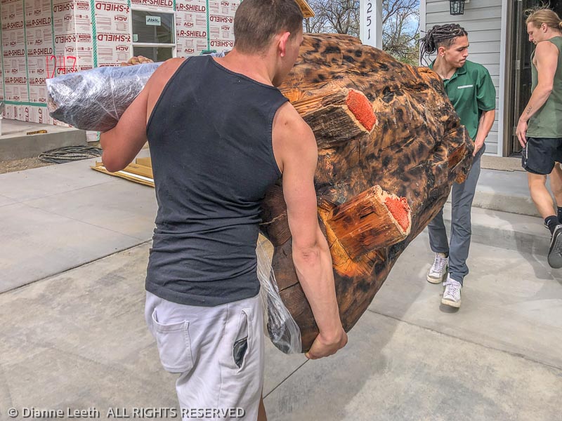
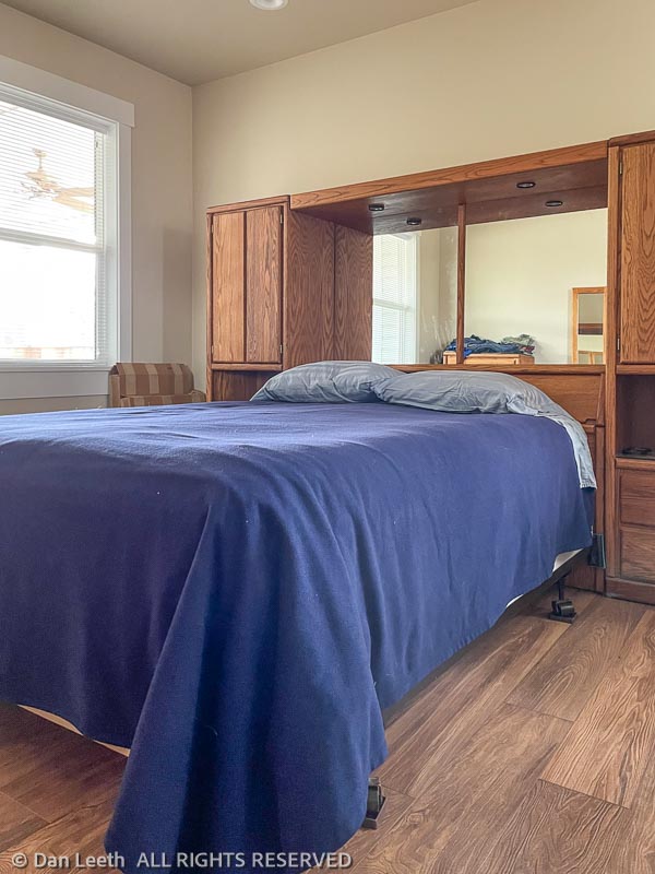
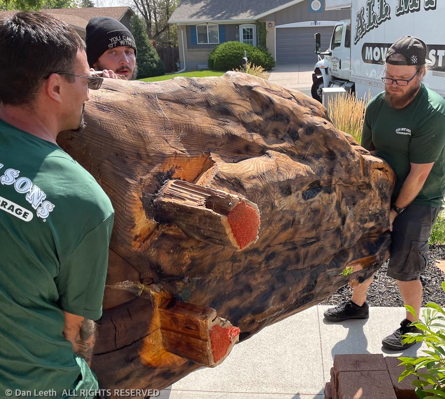
The movers showed up bright and early on Tuesday morning to unload the furniture, boxes and 300-pound log table. We now had a bed on which to sleep.
We also had a garage filled with boxes and more boxes in totally unsorted stacks. I spent an entire day emptying everything out and repositioning the boxes by contents and destination.
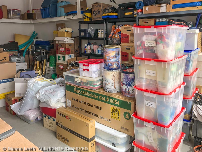
Unboxing items has been an adventure in discovery. Dianne found her REI (Really Expensive Items) down jacket that she feared had been stolen. I found my missing ski clothes, which I had to replace here in Fruita so I could ski last winter.
We also discovered that our wonderful Sony TV was not going to function after bouncing around in moving trucks. No problem, we replaced that old 40-inch Sony with a new 65-inch model. Wow, what a difference.
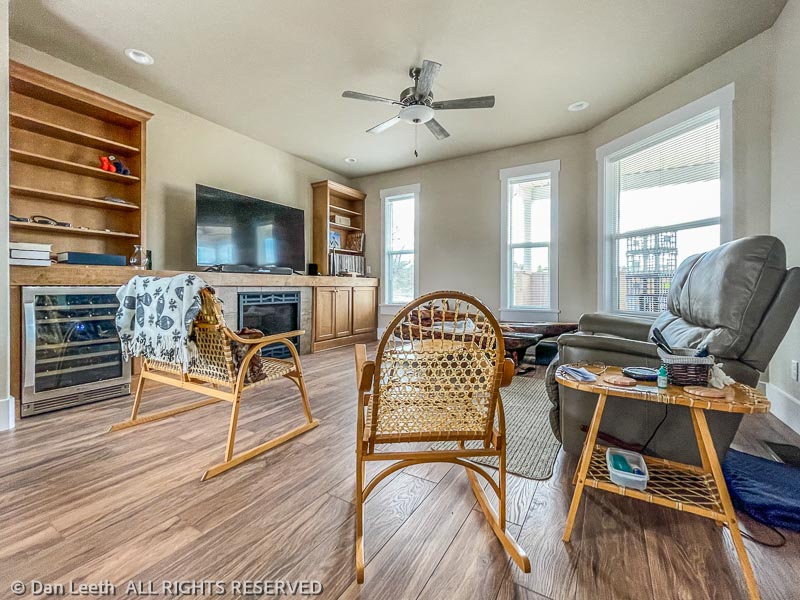
Of all the things we admire in our new house, the 40-bottle, dual-temperature wine cooler stands at the top of the list. With a little careful shopping, we’ve managed to fill it with some nicely fermented grape products.
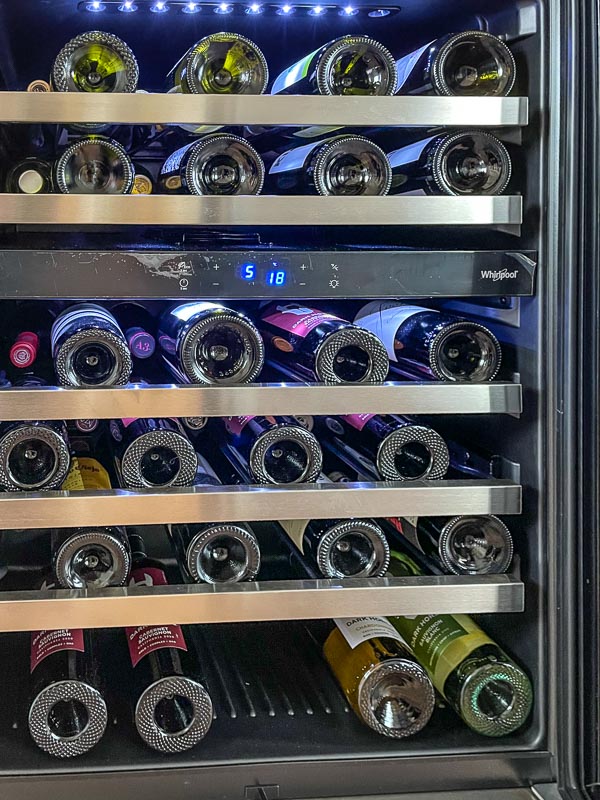
We have a new rule in the house – other than finishing up opened boxes of camping wine, only bottled wine will be served in this house.
Most of the appliances went in today. Hopefully the rest will be in tomorrow.
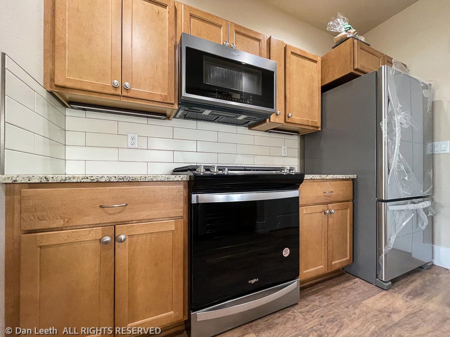
If everything comes to together, we may possibly get to close on Friday. We’re hoping.
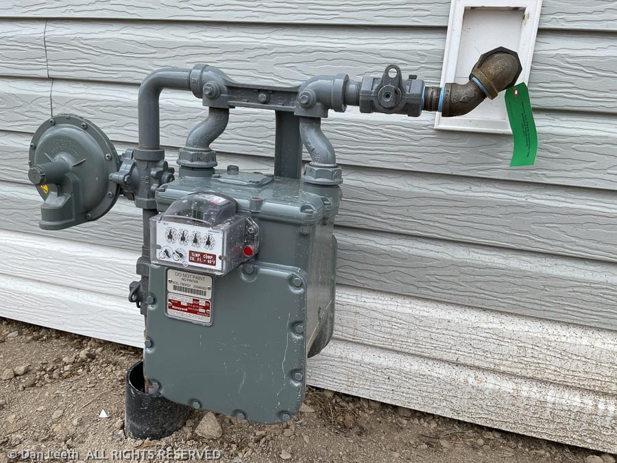
We were scheduled to close on our new house yesterday, but that needed to be postponed because the gas company couldn’t find a meter to install. As a result, we had to pay for another week at the RV park.
We went out to visit the property this morning and found a brand new gas meter installed on the side. The last hurdle has finally been lept. It’s now a sprint to the finish.
Monday, we should be able to schedule a closing date and soon thereafter move into our new hovel. Dianne is pleased.
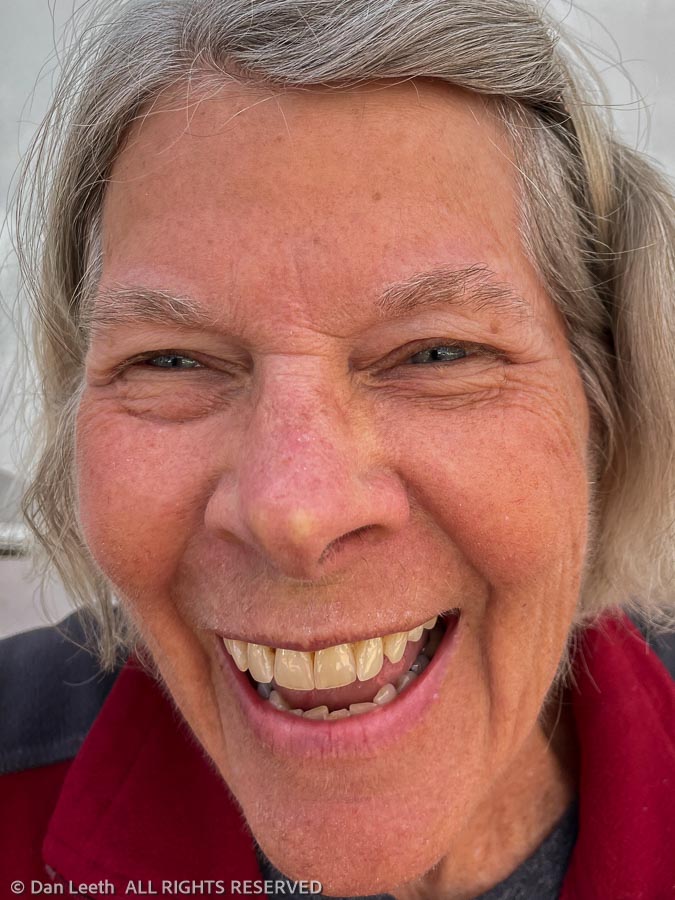
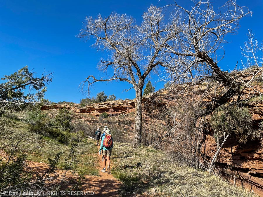
Today, Dianne and I joined six others on a Colorado Mountain Club loop hike up Flume Canyon in the McInnis National Conservation Area. The outing was led by one of our soon-to-be neighbors from the village.
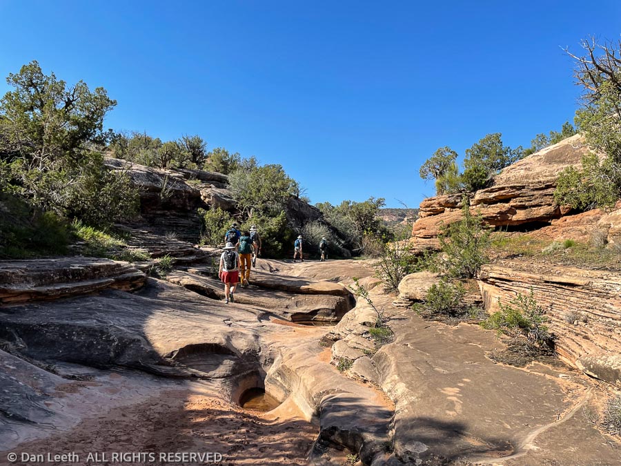
Our route up was by the Inner Flume Trail, which follows the creek along the base of Flume Canyon. Dianne and I tried this route a few years ago, but we had to turn around when we found the trail blocked by a growth of poison ivy. The ivy hasn’t sprouted leaves yet this year, so we had no issues this time.
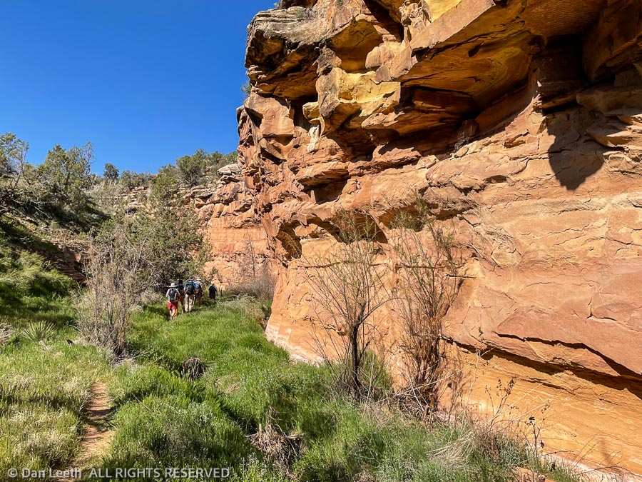
It’s quite pretty down in the bottom of Flume Canyon. At least I think it was pretty. I like to hike slowly and absorb the environment. Our CMC leader had us sprinting right along, so views and photos were limited. Dianne and I may head back down there next week with the big camera gear and just wallow in the scenery.
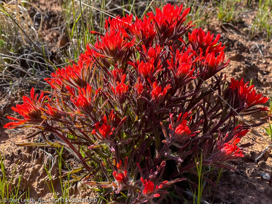
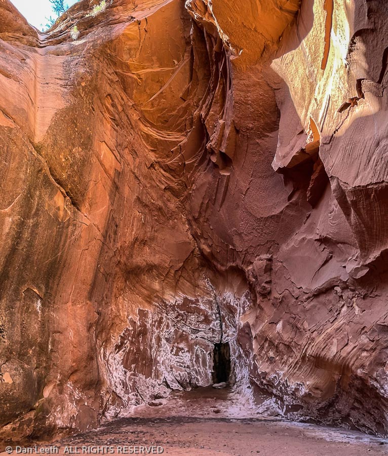
The trail up the inner canyon came to an abrupt end at the base of a huge pouroff. After an in-and-out water stop, we dropped back down the canyon a short distance and followed a trail up onto the rim.
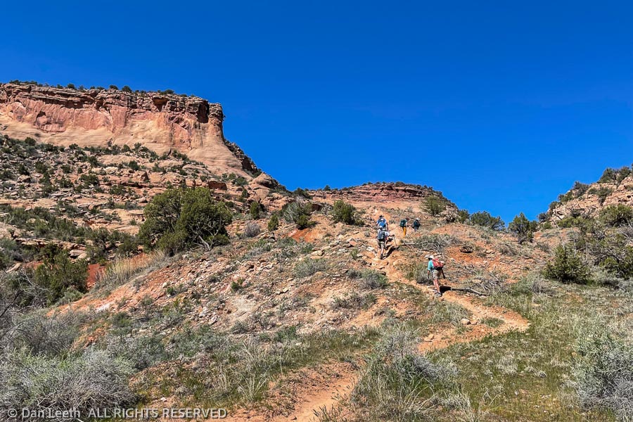
From there, it was up and down over hill and dale as we followed the trail above the rim of Flume Canyon and back to the trailhead. The Garmin said I’d covered 5.77 miles and burned 798 calories on the three-hour hike.
To make sure we got those calories replaced ASAP, we all headed into town for pizza and beer at Hot Tomato.
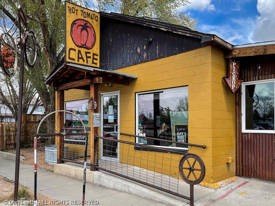
Back when we hiked out of Reno, everyone stopped at some predetermined restaurant for food and brews before heading home. When we hiked with the CMC out of Denver, nobody ever wanted to stop after a hike or climb. I don’t know if it’s because Front Rangers are more stuffy or maybe they just wanted to get an early start battling the Gridlock City traffic. I hope the après-hike dining practice continues on future outings out here.
A week before we returned to Fruita, we were told that our scheduled closing date of April 22 might be delayed. It seems that gas meters are in short supply.
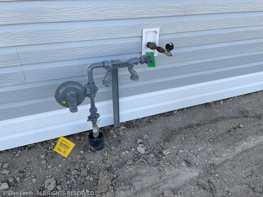
After setting up the trailer in our old spot at the Monument RV Resort, we drove over to take a look at the house. We were quite disappointed at what we found.
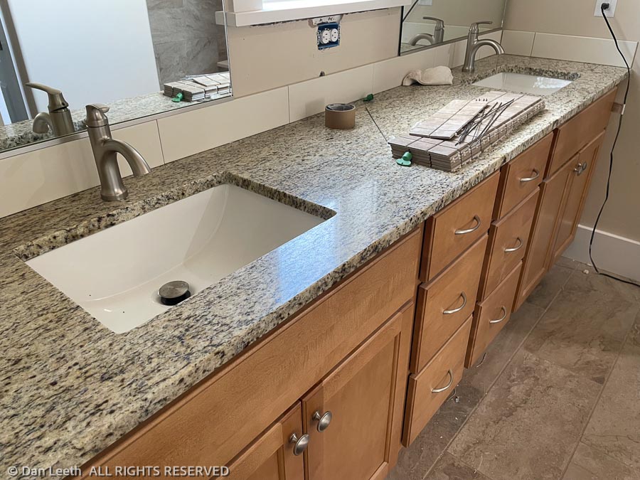
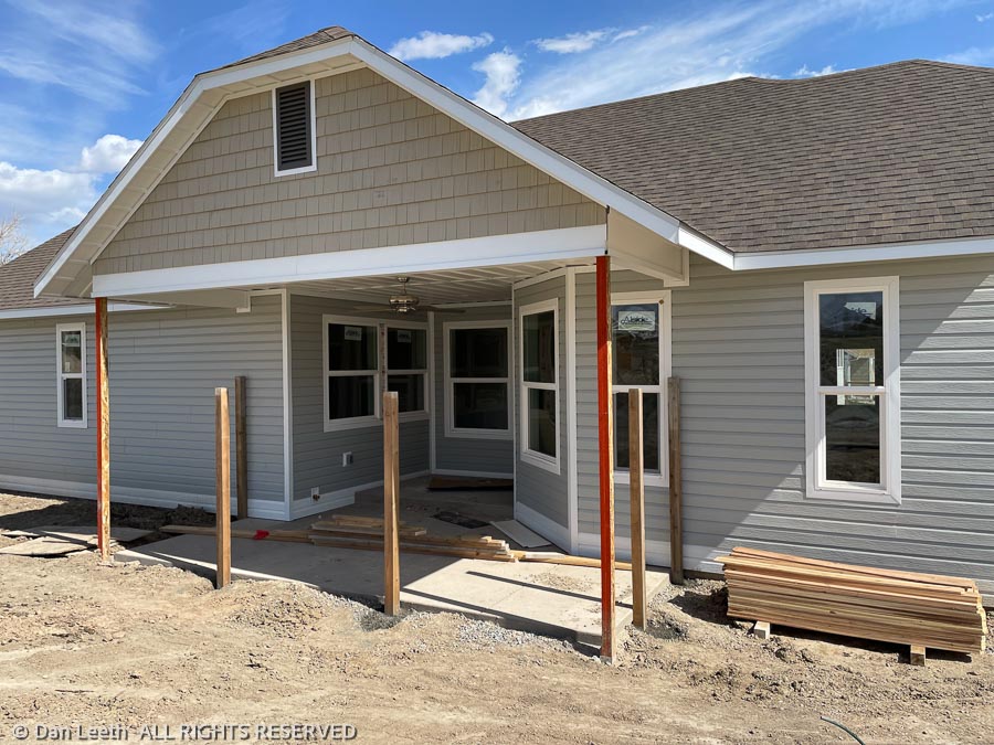
On the plus side, the siding is almost completed, the flooring and tile is mostly finished and the granite countertops, faucets, toilets, dishwasher and microwave have been installed. And that’s about it.
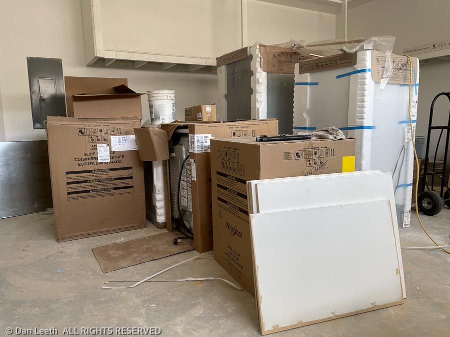
The rest of the appliances sit in the garage, presumably waiting for the gas to be hooked up. Until the appliances are moved out, the epoxy coating on the garage floor can’t be done.
The electrical hasn’t been completed, the HVAC hasn’t been piped in, the cabinets haven’t been completed and the patio fence waits to be erected.
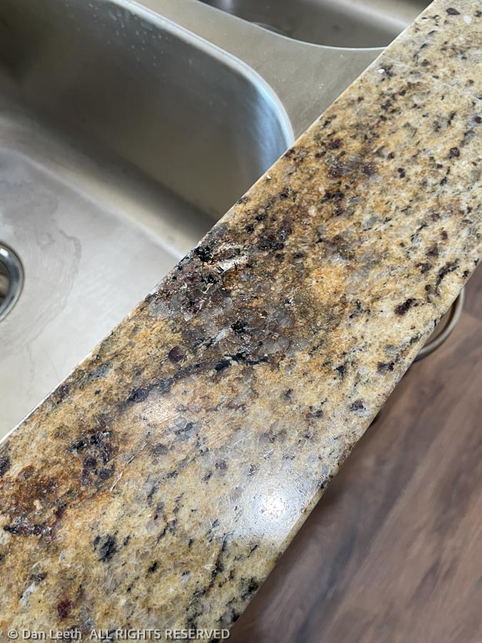
The biggest disappointment is the granite countertops, an upgrade for which we paid a hefty upcharge. There’s a huge defect in the granite right in front of the kitchen sink. It’s gouged and looks as if it had been burned. It will have to be replaced.
We’ll talk to the builder on Monday about some of these issues and try to find out when a gas meter might be coming. Because of the delay, we’ll have to reschedule the movers, keep our storage units for yet another month ($560 per month) and continue renting a site at the RV park ($375 per week).
We’re not happy.