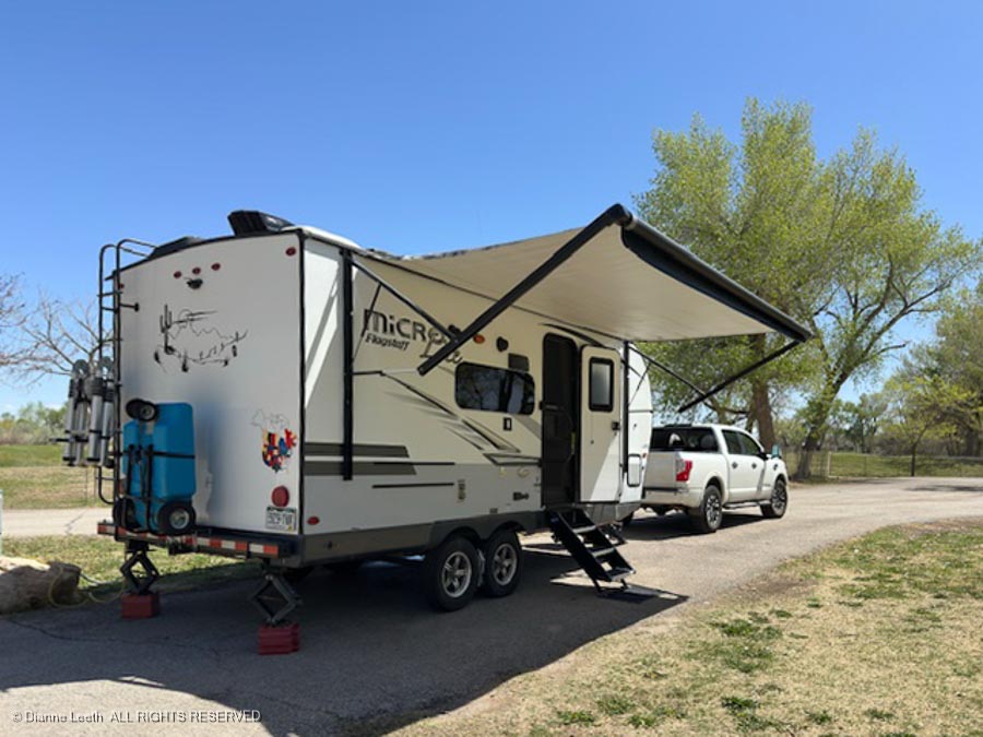
Dianne wanted to spend extra time with her parents, so I drove home solo. I enjoyed two days on the road alone, covering around 800 miles and not once hearing about what I was doing wrong.
[Correction: At one point, I did drive across a parking lot without fastening my seat belt and like a good wife, the Subie warning buzzer screamed at me.]
When I booked a motel for the drive, I found it was far cheaper to book a room in Wells, Nevada, off I-80 rather than a room in Ely along U.S. 40, my preferred route.
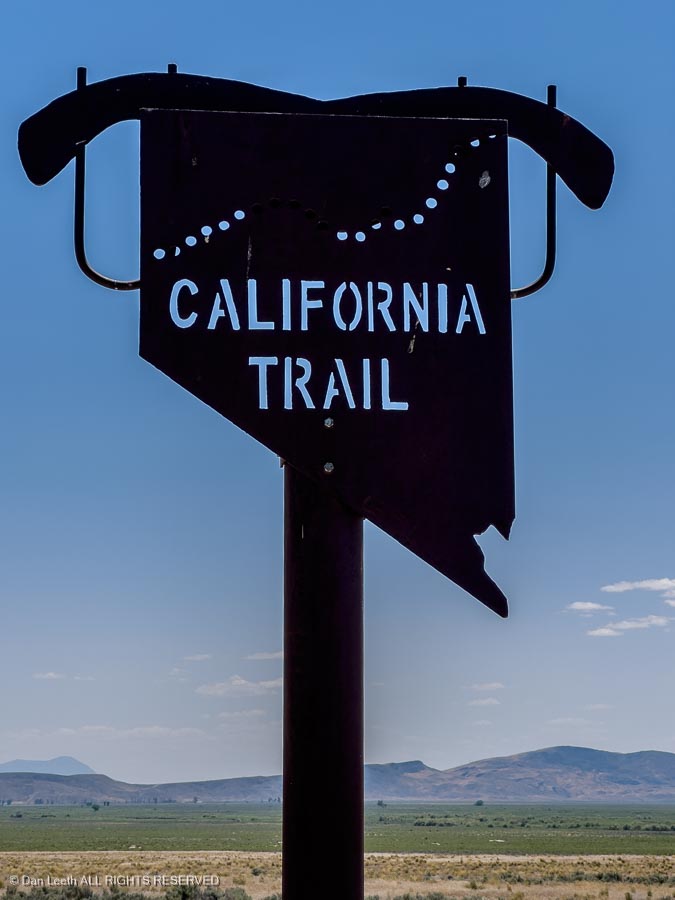
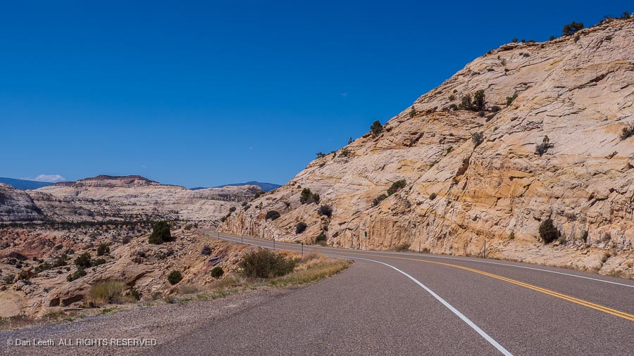
Advertised as the California Trail, I-80 is fast (75-80 mph) and offers lots of rest areas, but the scenery is only slightly less boring than driving across Kansas.
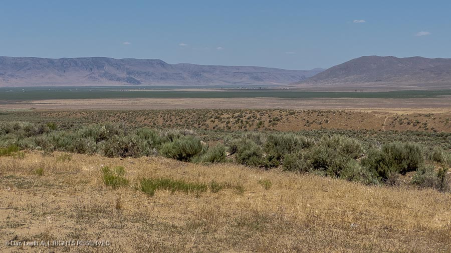
It’s largely mountain-studded, empty desert covered with sagebrush (Nevada state tree). I had an ex-girlfriend who loved this terrain. It didn’t take long for her to become an EX-girlfriend.
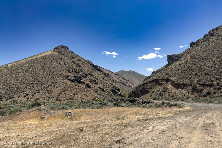
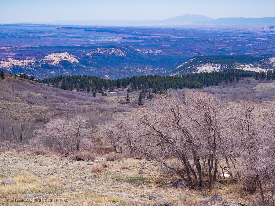
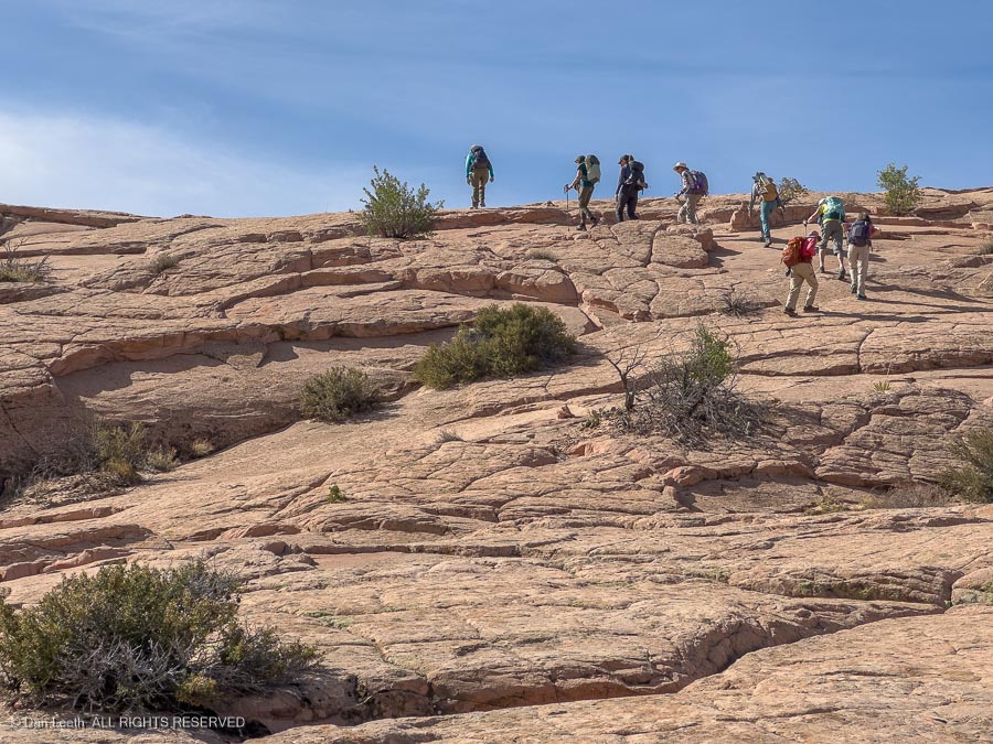
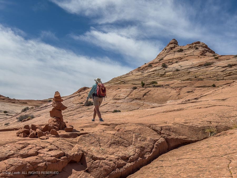
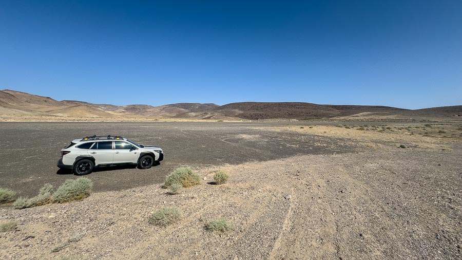
I was making good time across the state and it looked as if I’d arrive at the motel way ahead of normal check in time. I studied at my trusty AAA map for options and found a backroad south of Battle Mountain, Nevada, that supposedly led to two ghost towns. The Subaru was eager to get off the highway, so I decided to check them out.
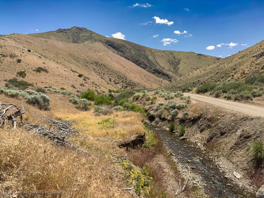
We didn’t find the alleged ghost towns, but we did find some pretty hillsides and the Subie was thrilled to get to wear…
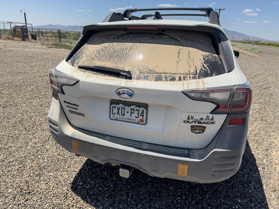
…a fresh coating of desert dirt.
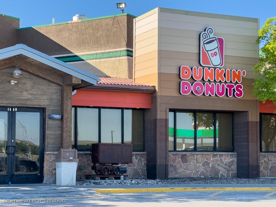
I bunked for the night in a Super 8 motel, and for breakfast, I headed over to what passes in America as a Tim Hortons. [If you’ve been to Canada, you know what I’m talking about.] I bought coffee and fruit (yes, an apple fritter is fruit) for breakfast.
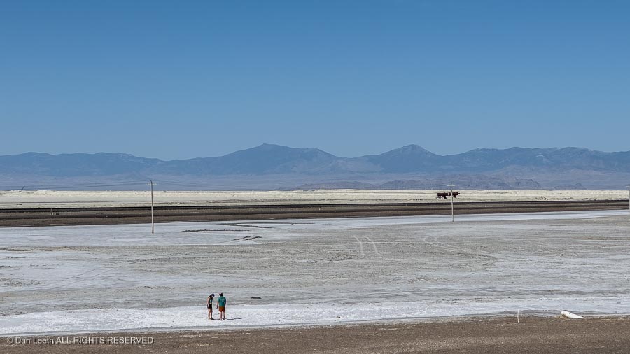
Subie and I entered Utah, drove past the Bonneville Salt Flats…
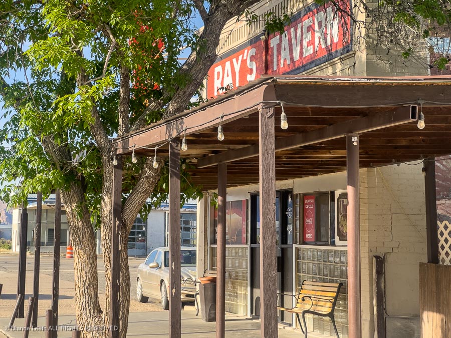
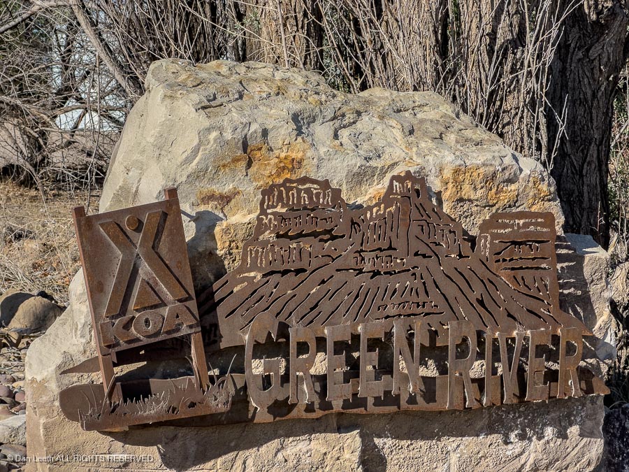
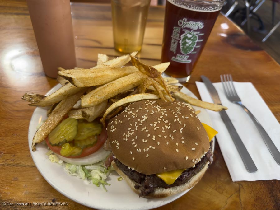
…and worked our way through Salt Lake City during Sunday, bumper-to-bumper, rush hour traffic. We were eventually on our way south to Green River, where, of course, I stopped for lunch at Ray’s Tavern.
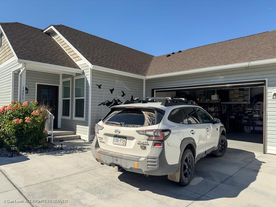
Ninety miles later, I arrived at our home in Fruita and unloaded.
In all, we drove over 4,300 miles through nine states and two provinces [or ten states and no provinces for you MAGA believers]. It cost a few coins, but as my friend Don points out, nobody has ever seen an armored car following a hearse. We had a good time, saw some interesting territory and now have 22 bottles of prime Canadian wine to savor over the long, hot Grand Valley summer.
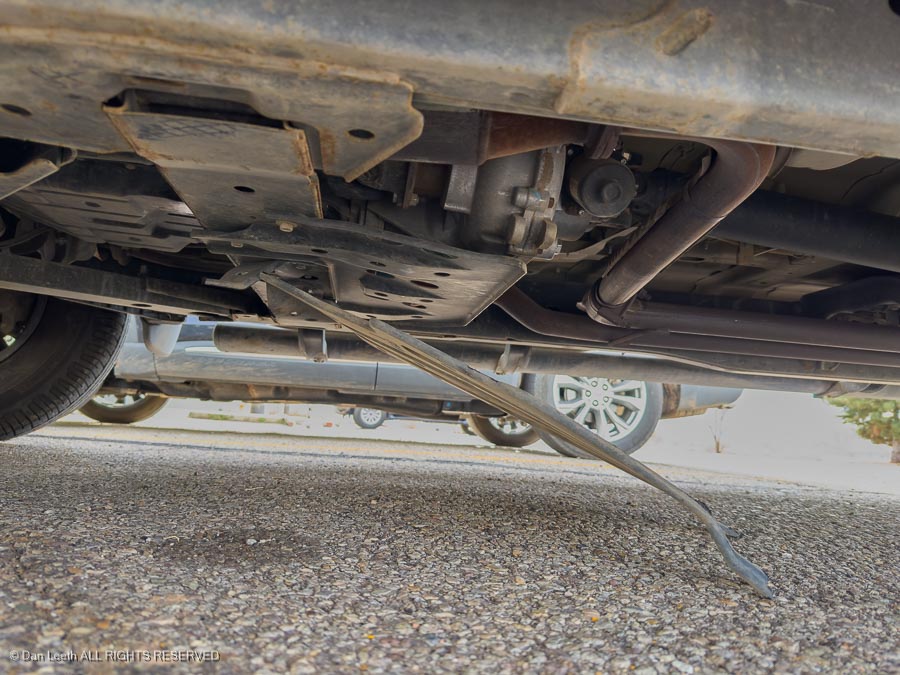
Unfortunately, I suspect Dianne will want the car washed.