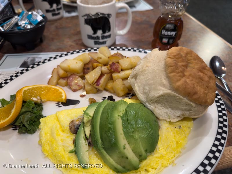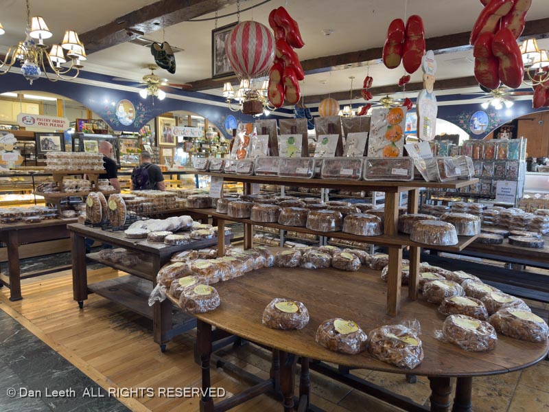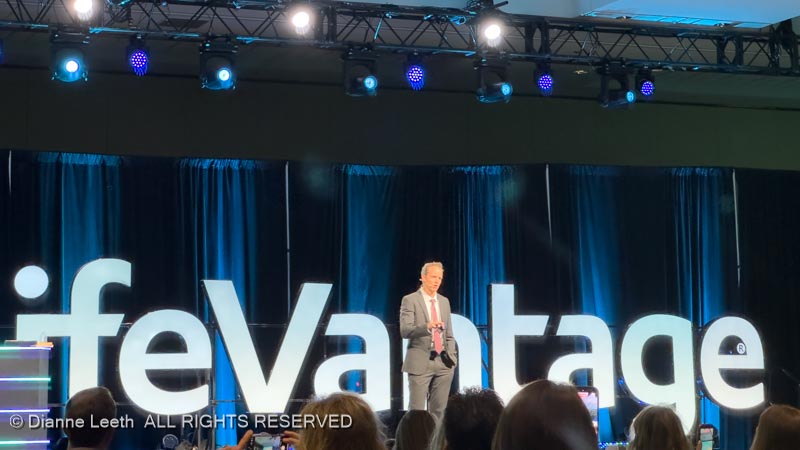
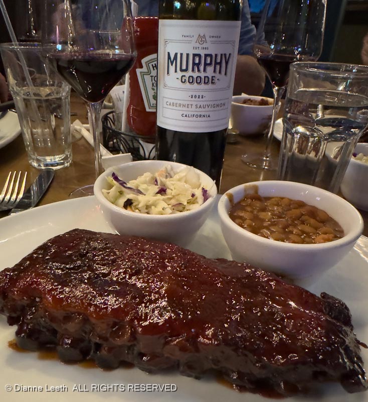
Dianne’s meetings finally ended and I finished the latest Craig Childs book. We had a final Las Vegas dinner with our LifeVantage friends, Rick and Therese, at Smokey Joe’s in the Sam’s Town Casino atrium. [Dianne said the ribs were better at Duke’s in Hanksville.]
Sunday morning, we got up hideously early, drained the trailer, loaded up everything and were eventually ready to depart. A mere three hours after crawling out of bed, we were on the road. Leaving Las Vegas was the absolute highlight of the trip.
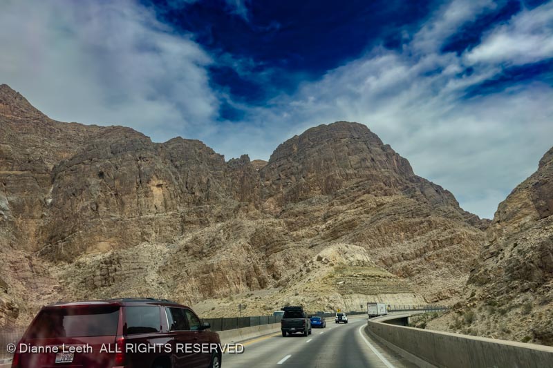
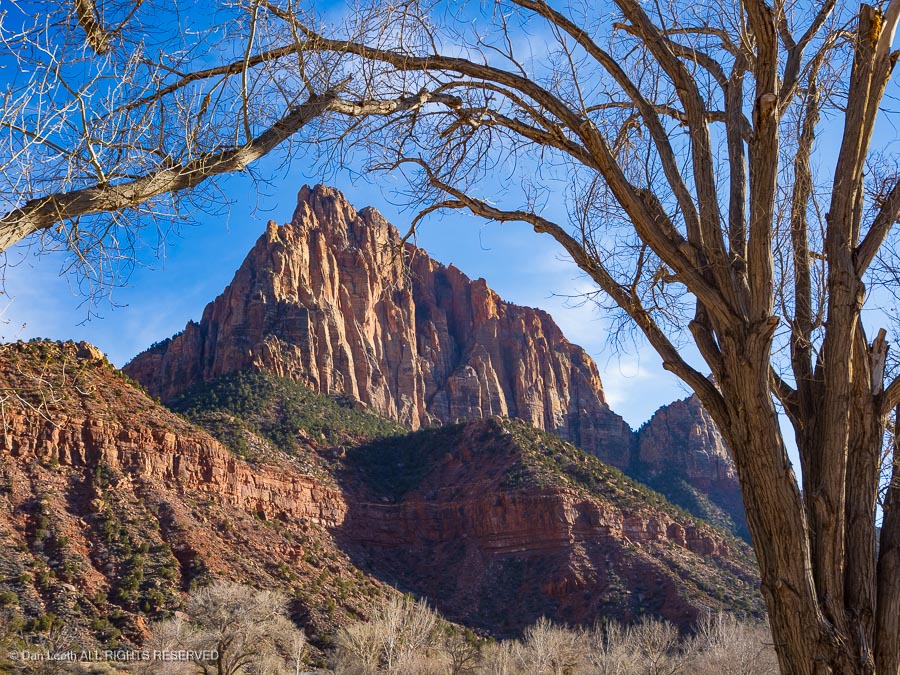
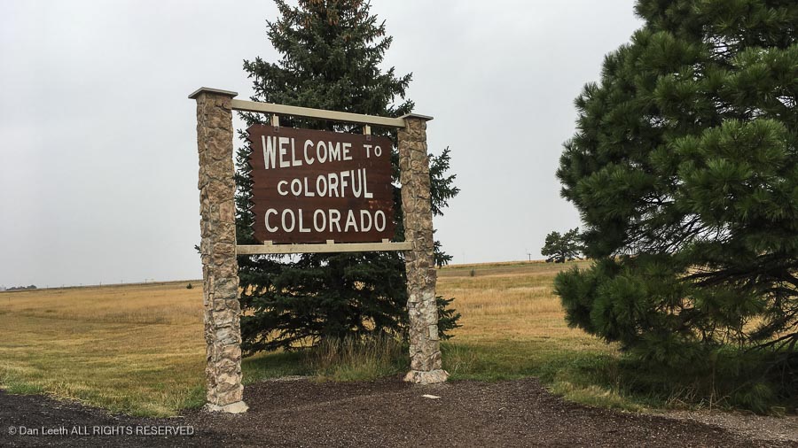
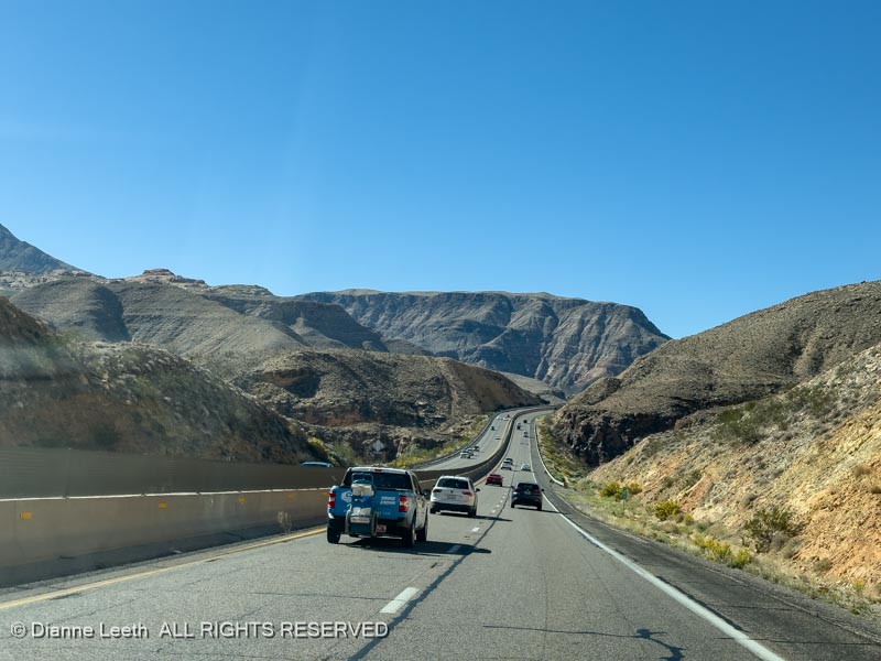
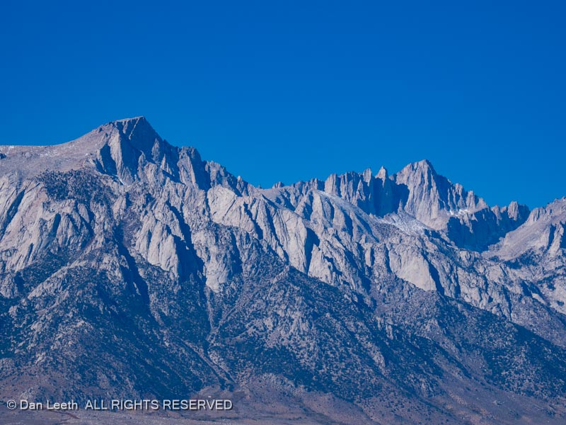
We motored from Nevada into Arizona (Virgin River Gorge) and up into Utah. Our destination for the evening was the KOA in Richfield, Utah.
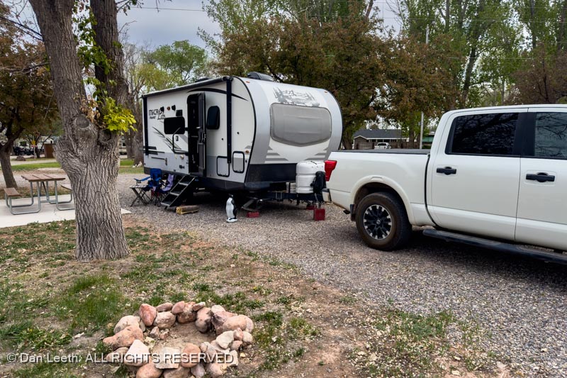
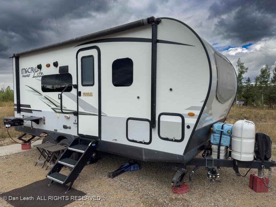
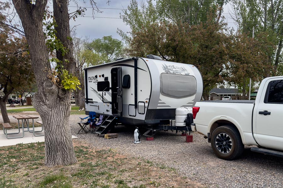
There, we were given a really nice site complete with trees, picnic table and a fire ring, which we will use later tonight.
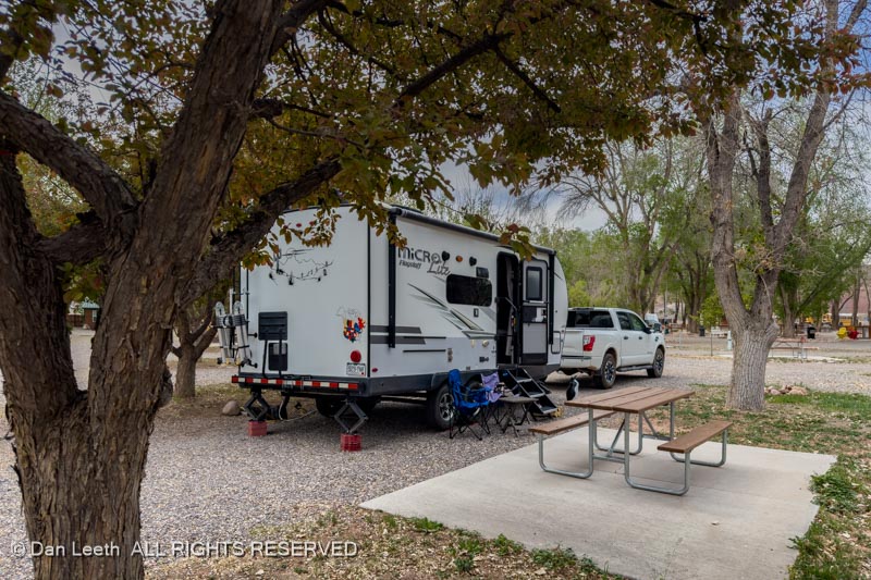
This KOA is almost like real camping. What we did at the KOA in Las Vegas was definitely NOT camping!
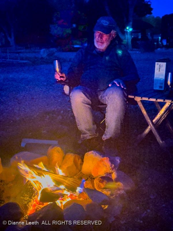
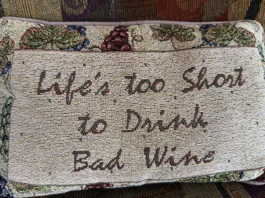
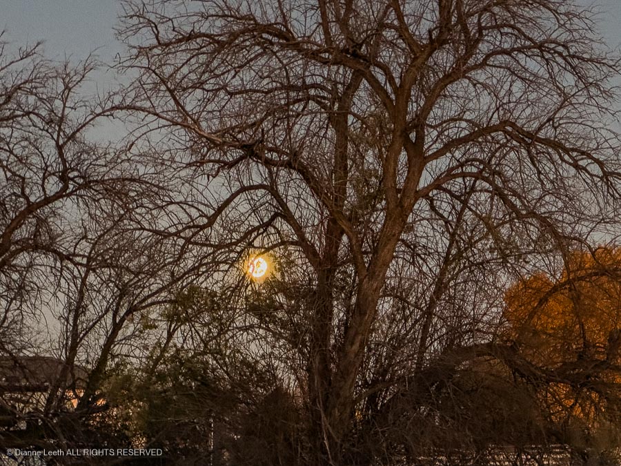
A glass of wine. A flaming campfire. This is camping.
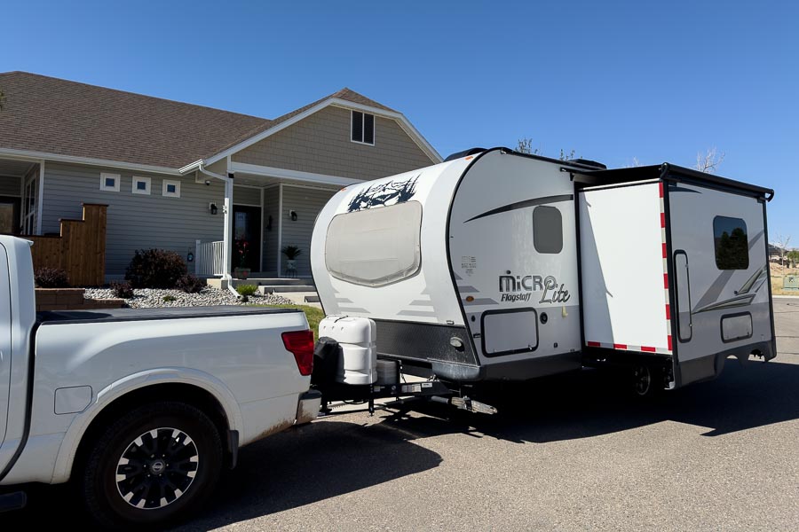
After a no rush Monday morning, we hooked Whitey up to Tighty and drove the familiar I-70 route toward home.
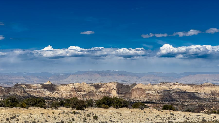
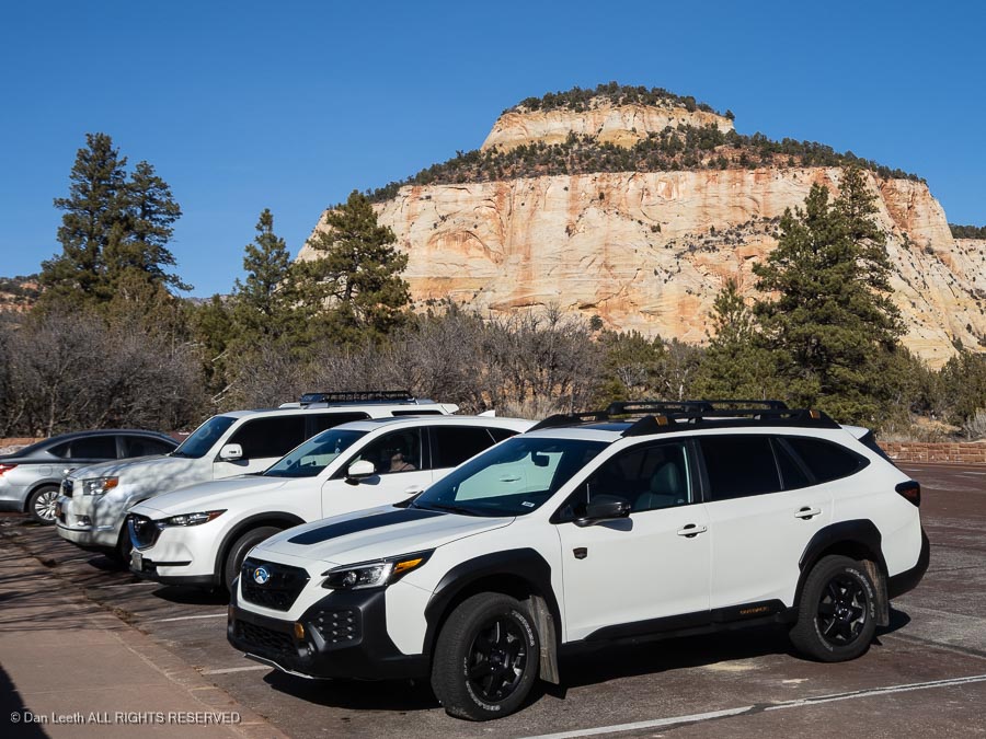
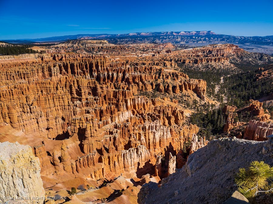
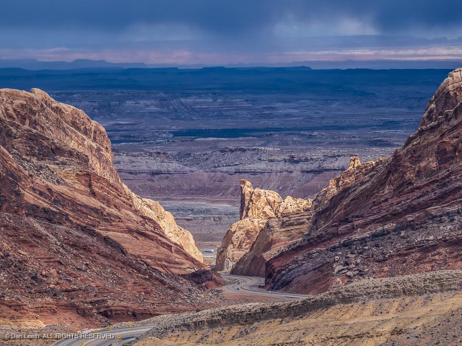
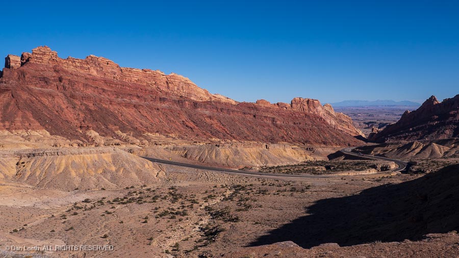
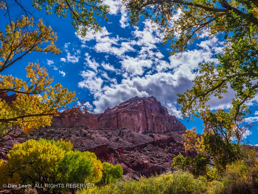
Along the way, we made a scenic pottty stop at the Ghost Rock Overlook…
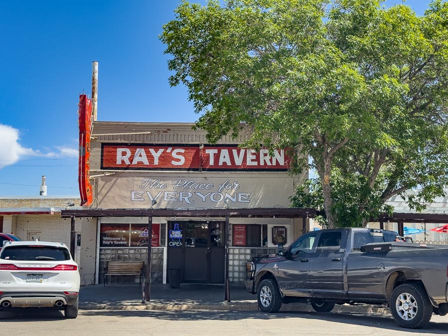
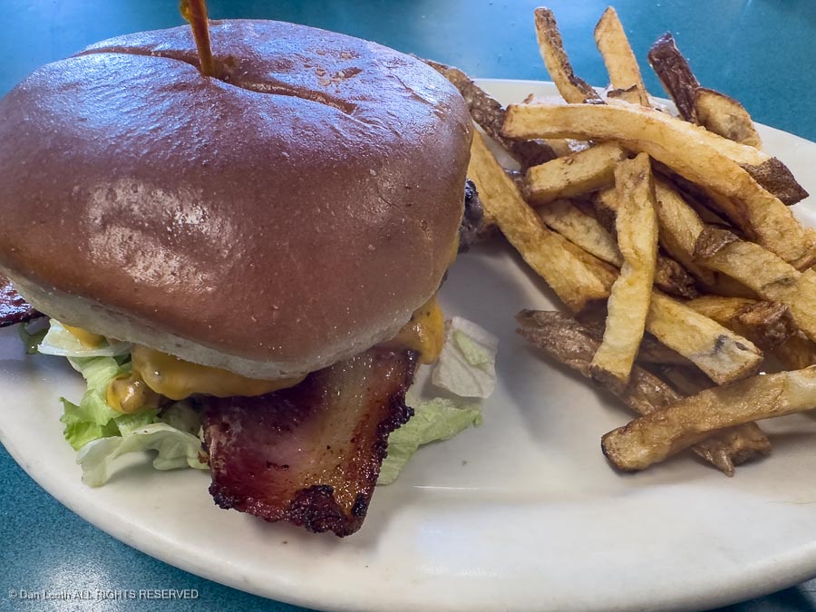
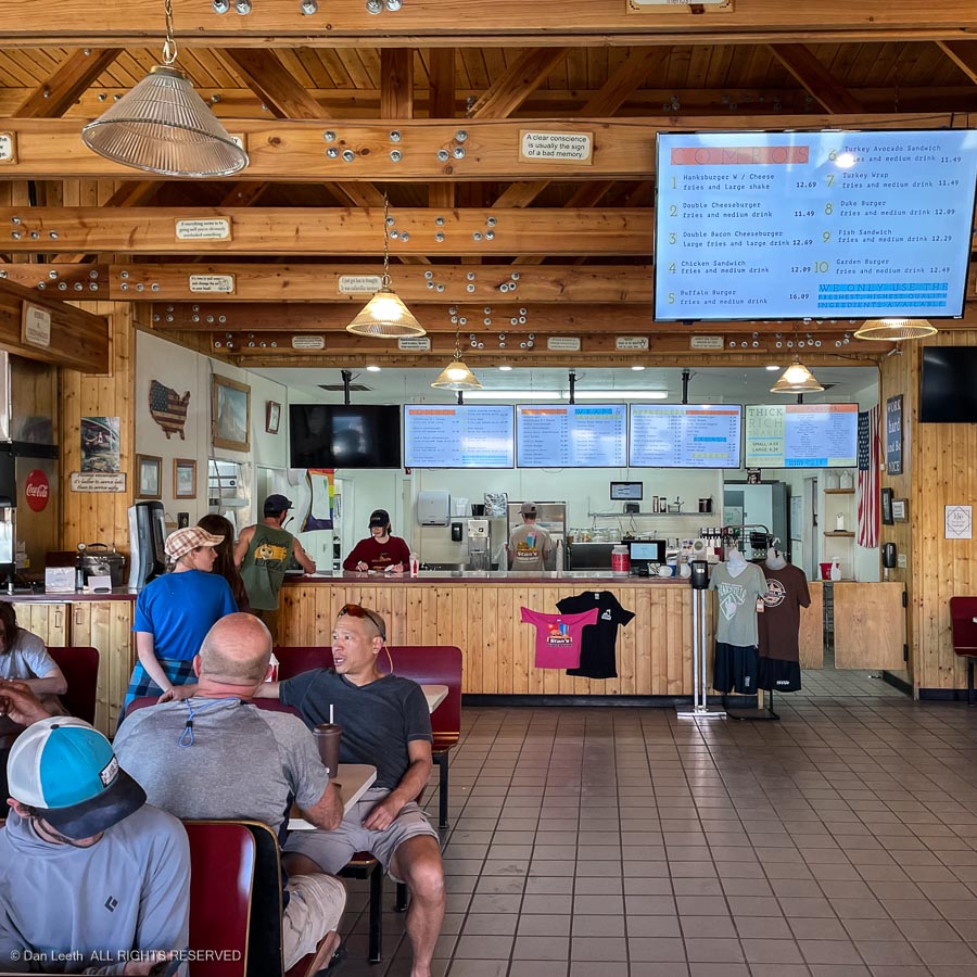
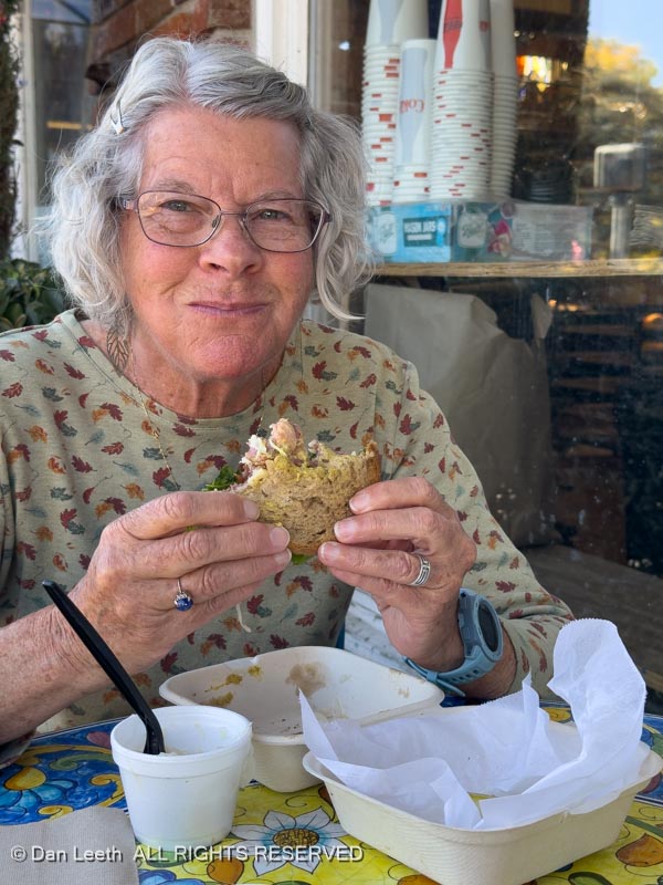
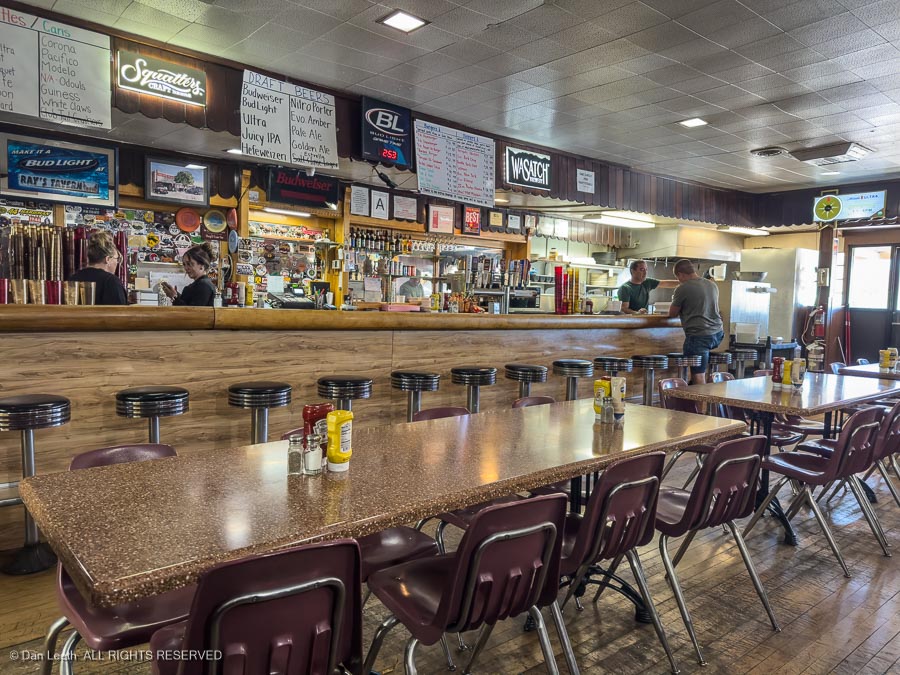
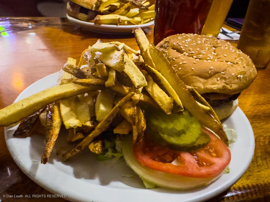
…and, of course, a bacon-cheesburger lunch stop at Ray’s Tavern in Green River.
Ninety miles later, we arrived home and began unloading – the unfun part of every camping trip.
In three weeks, we’ll be loading up again for yet another camping trip.