Heading Home

Monday, morning – time to leave our guest home.

The house sits next to Dianne’s sister’s home and while the owners are in Portugal, they allow members of the sister’s family to stay there. Of course, we never got to meet the owners, but I think we would like them.

I wish we had brought a bottle of some good Colorado wine to leave with them, but we seldom take the good stuff on the road.

Our route back to God’s Country took us across Nevada on U.S. Highway 50, the loneliest road in America.

It’s mostly 70 mph two-lane with an occasional turn.

We made a quick stop in the town of Eureka, one of the few outposts of civilization along the route.

Across the street from the Opera House sits the jail where my lovely wife revisited the spot where she spent some time in her younger days.

We continued into Ely, where Dianne’s nephew gave us a free room in a motel he now owns.

While the room was clean and comfortable, we did have to put up with a bit of road construction out front.

The next day, we headed out past Wheeler Peak and Great Basin National Park…

…and into Utah…

Where, of course, we stopped at Ray’s Tavern…

…for bacon cheese burgers and a glass of evolution amber beer.

Ninety miles later, we arrived at home…

…where a full beaver super moon soon poked through the naked cottonwood trees behind our patio.

Birthday Celebration

The reason we came to Nevada was to celebrate Dianne’s father’s 100th birthday, her mother’s 94th birthday and their 75th wedding anniversary.

To celebrate these events, the offspring reserved the clubhouse at their housing development and invited around 75 family and friends to attend, most of whom actually showed up.

Of course, we had to take a shot of just members of the family, which included children, grand children, great grand children and now one great-great grandchild.

While some of the family still live in western Nevada, others had to fly in from Tennessee and Kentucky, while others drove here from Oregon, California, Idaho and, of course, Colorado. A good time was had by all.

Death Valley Days

Part two of our autumn “vacation” began about three hours late. Dianne was in Dallas attending a LifeVantage meeting, and her flight back to civilization arrived three hours late in the Grand Valley.

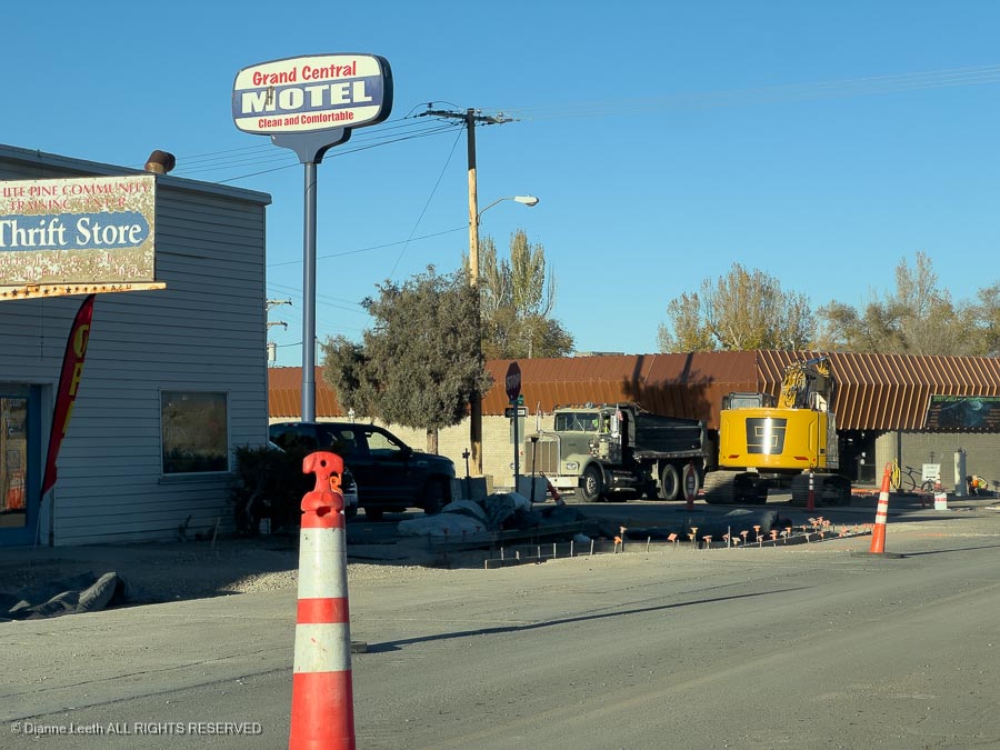
I picked her up at the Grand Junction International Airport, we rushed home by way of Jimmy Johns, ate our sandwiches, loaded the car and headed to Richfield, Utah, where we had reservations at the beautiful Super 8 Motel there.

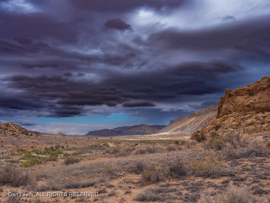
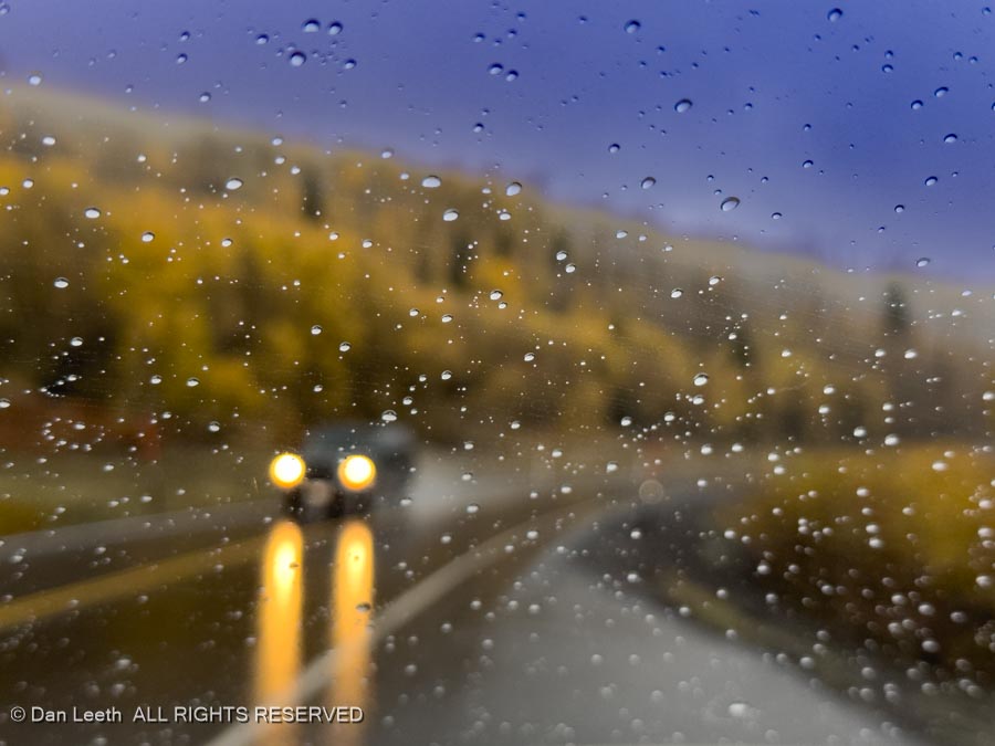
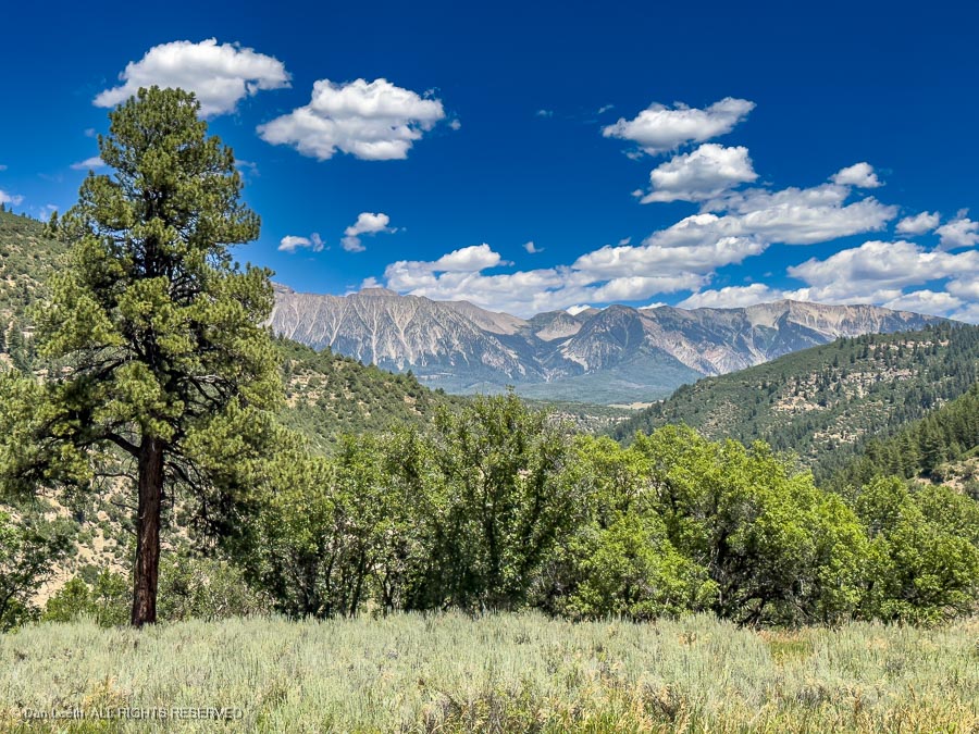
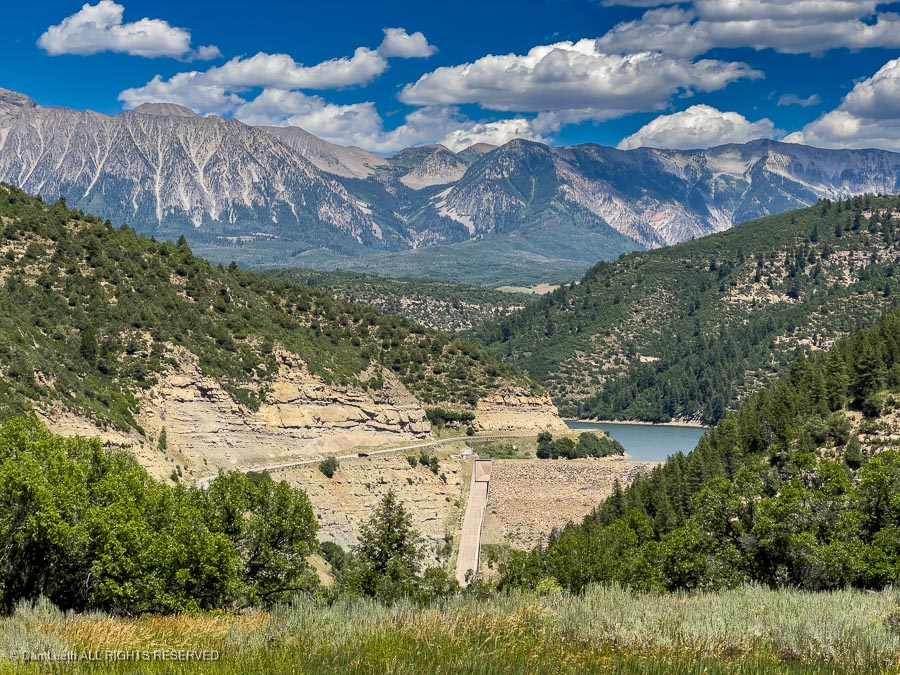
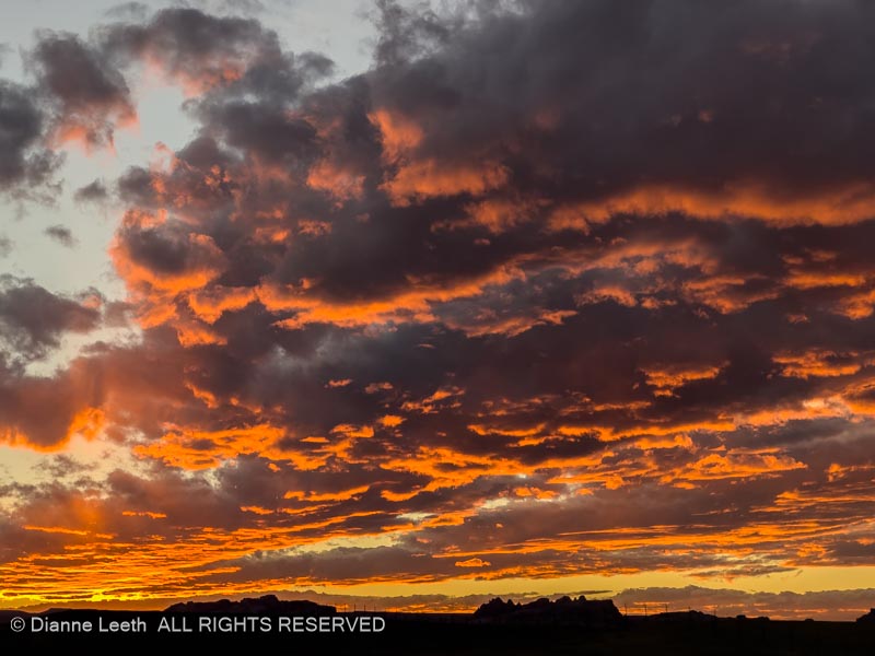
Heading in a westward direction, we were treated to a stunning Utah sunset.

Super 8 Motels provide their guests with free breakfast.

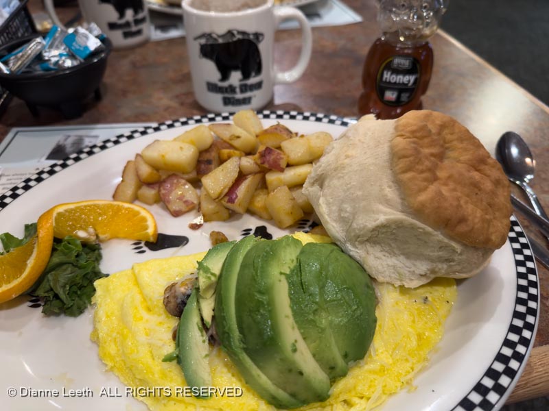
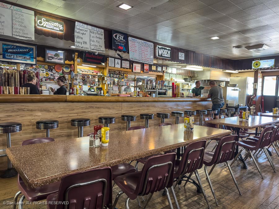
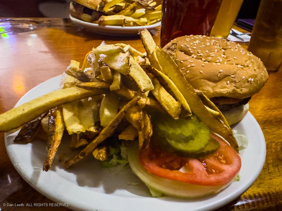
Of course, this was NOT the Super 8 breakfast. We drove down Main Street to the Black Bear Diner and ate there. Much better.

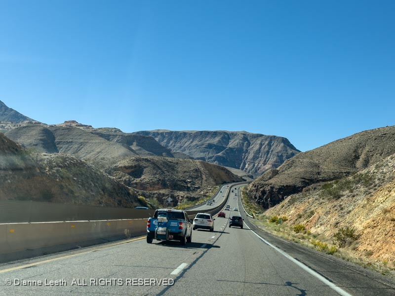
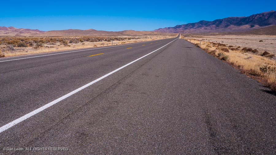
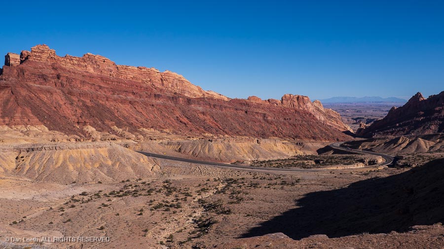
Back on the road, we left Utah, skirted through North Las Vegas and headed for Death Valley.

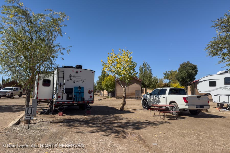
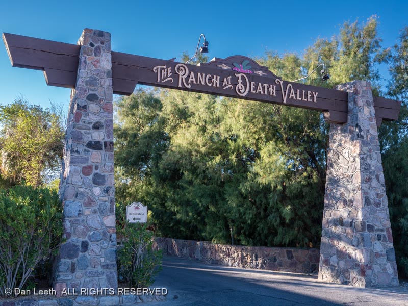
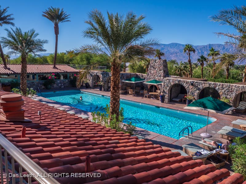
Taking advantage of discounts offered by Xanterra, we booked two nights at The Ranch at Death Valley.

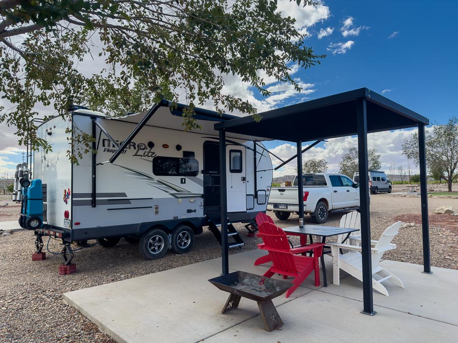
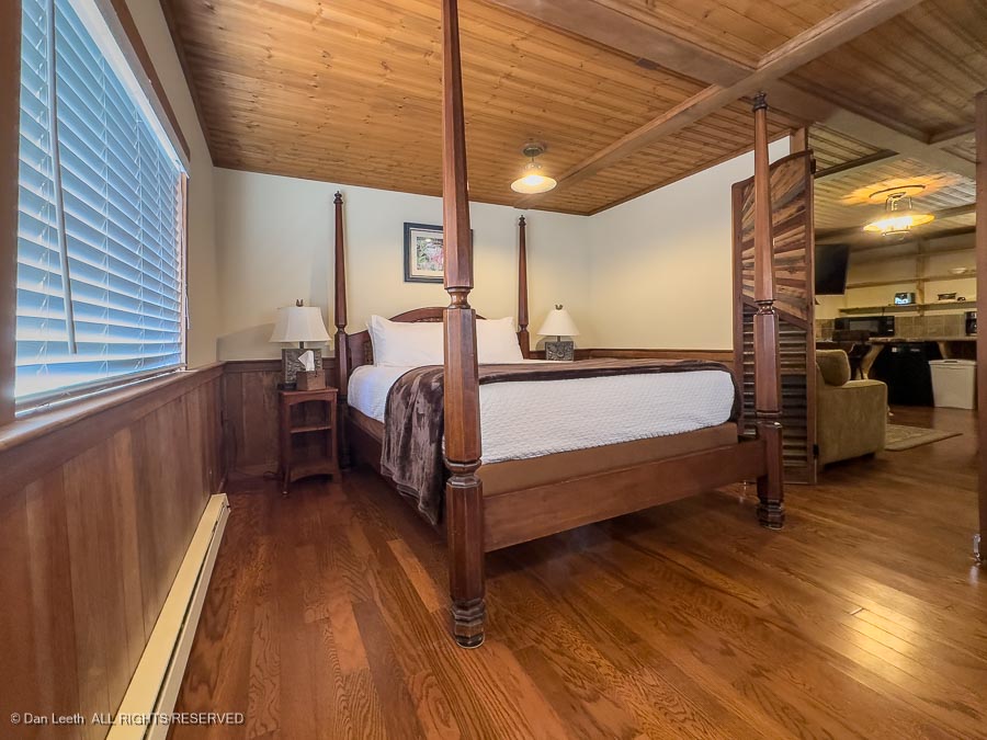
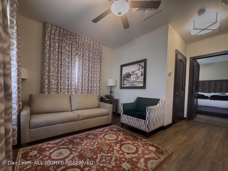
We were bunking in a duplex cottage suite…

…with a separate living room and bedroom

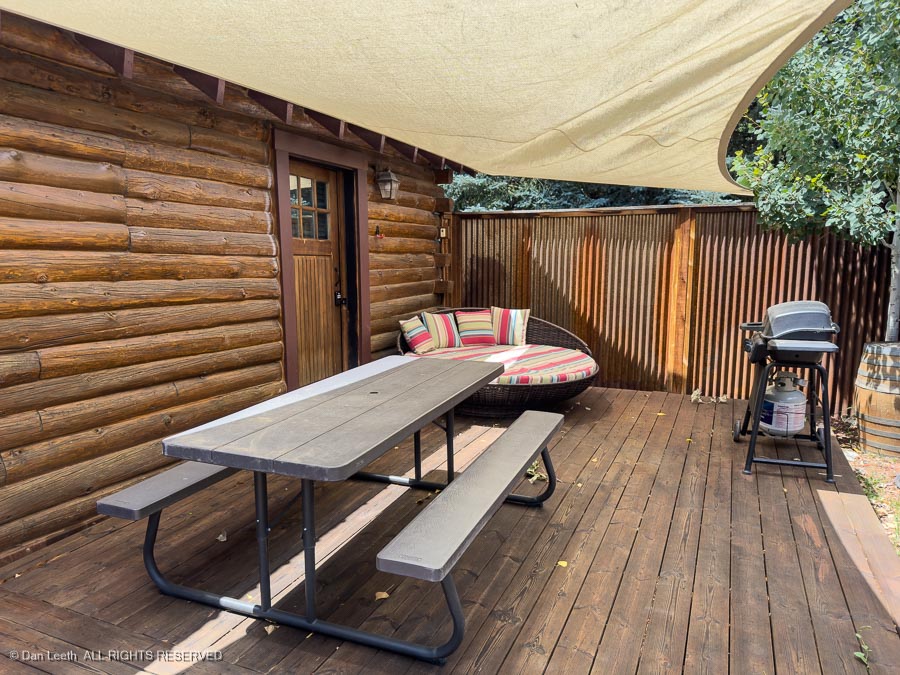
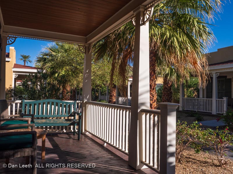
…and a great front porch to enjoy by day…
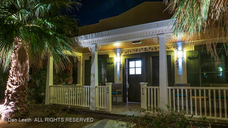
…and night.

I really, really like this place. We originally had a two night stay booked, but Dianne allowed me to add a third.

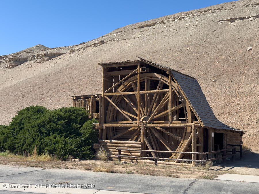
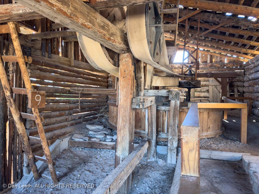
We wandered around the Ranch, checking out its open-air museum of artifacts from the Death Valley borax production days…

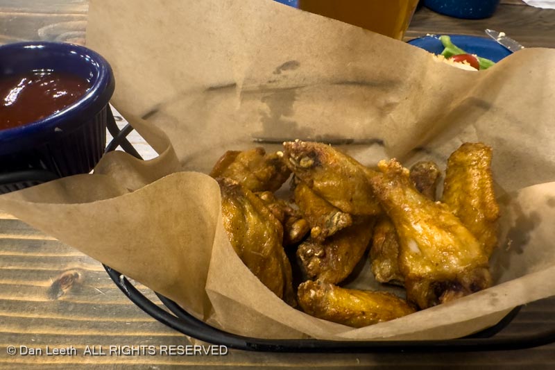
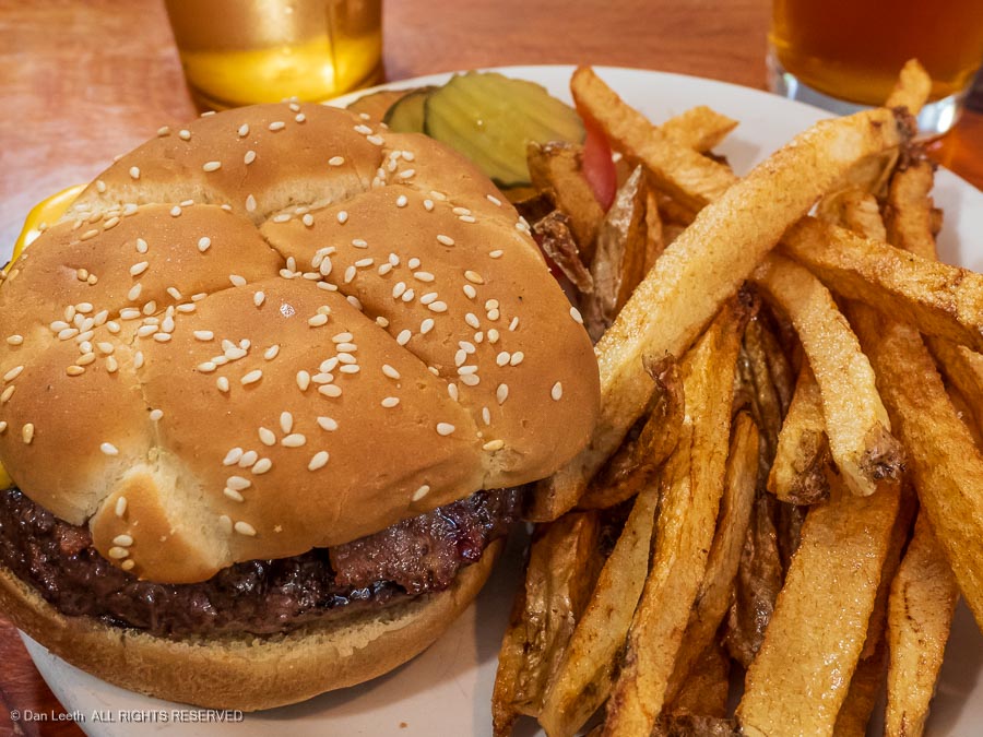
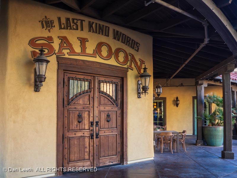
…and its fine dining options.

With the government shutdown, many of the places we wanted to explore were not open. We did find a few interesting sites to check out, however, including…

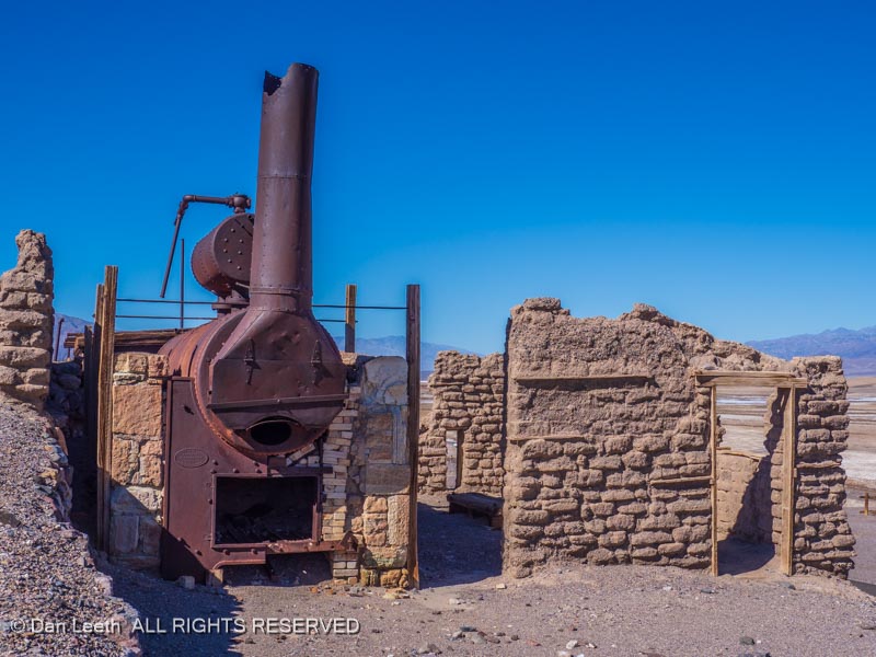
…the remains of the Harmony Borax Works…

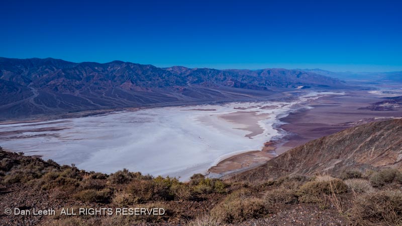
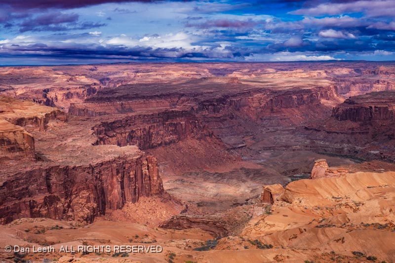
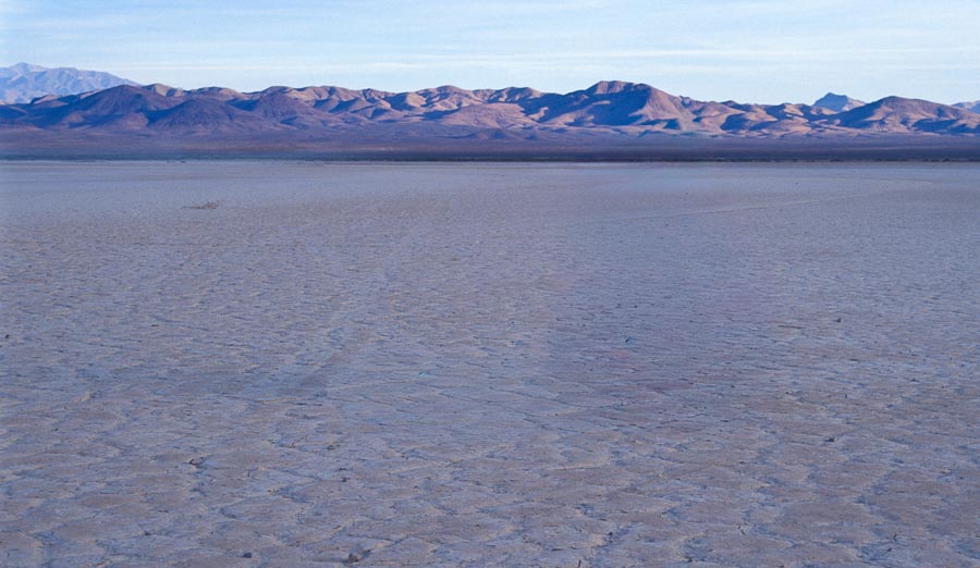
…the view of Bad Water from Dante’s View overlook…

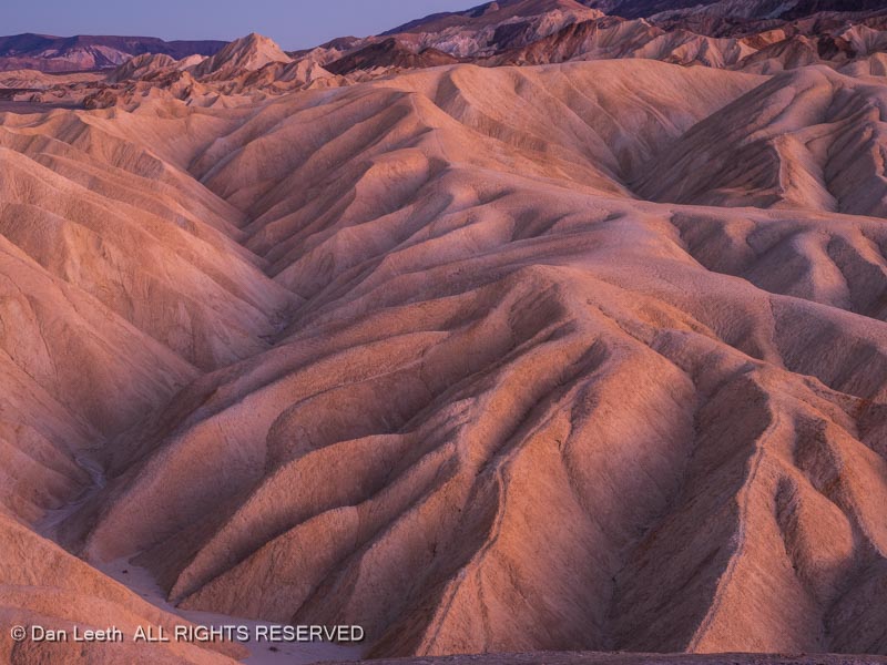
…and Zabriskie Point at sunset.

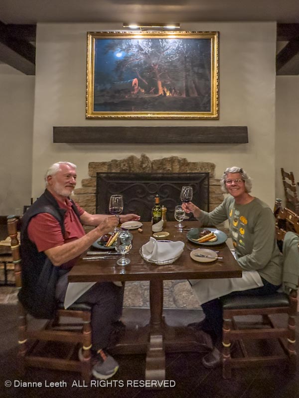
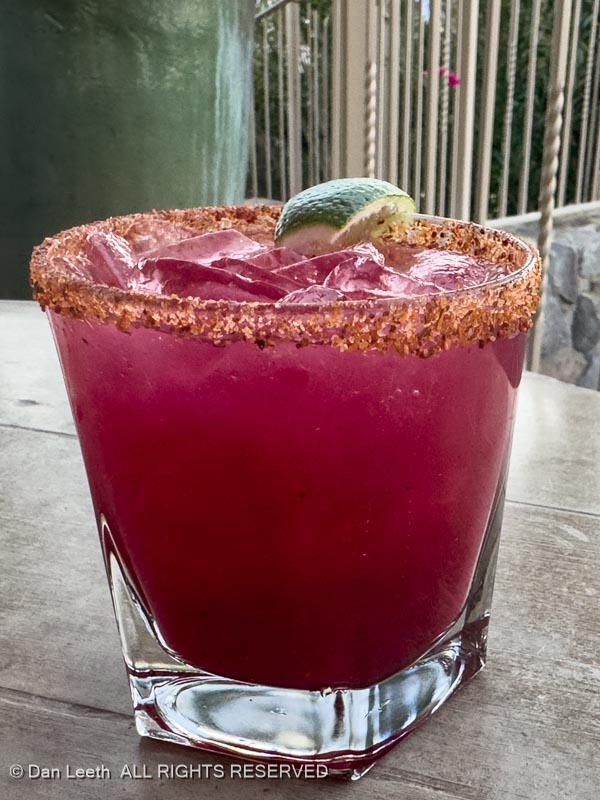
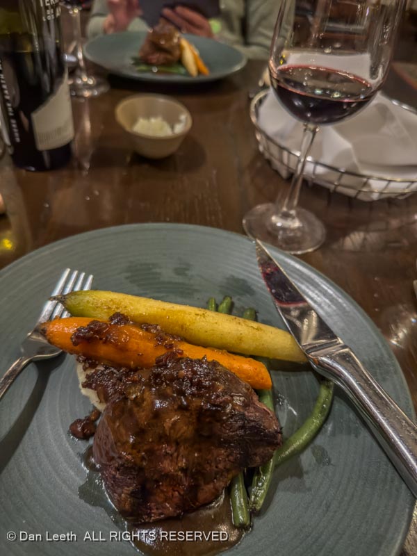
We also explored the Inn at Death Valley, the more upscale Xanterra property located nearby…

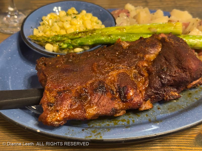
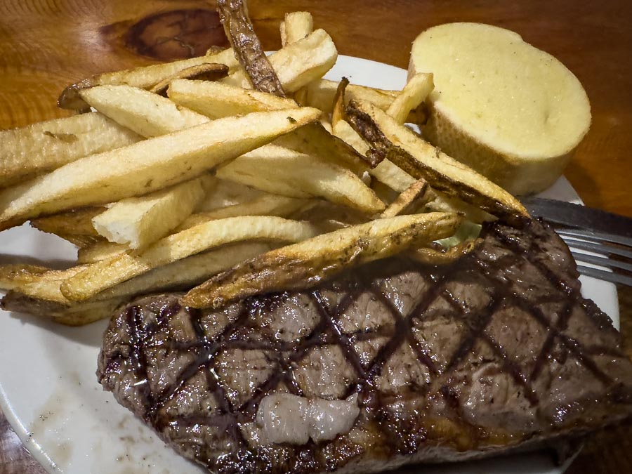
…where we had dinner reservations…

…with prickly pear margaritas…

…followed by steaks and wine.

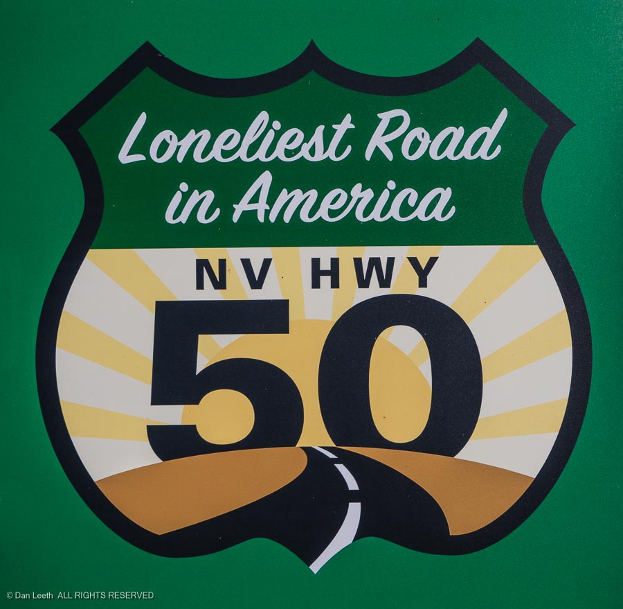
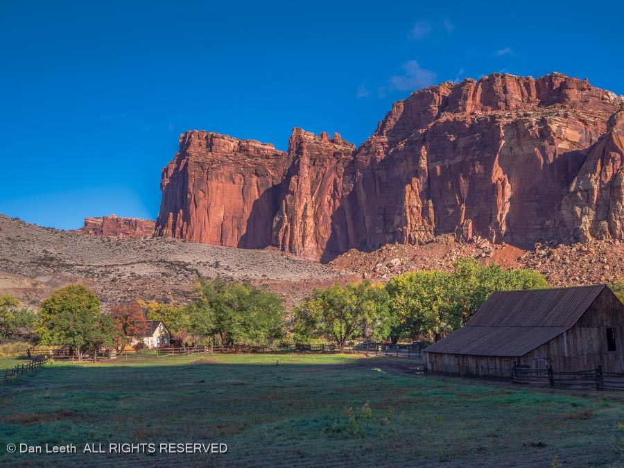
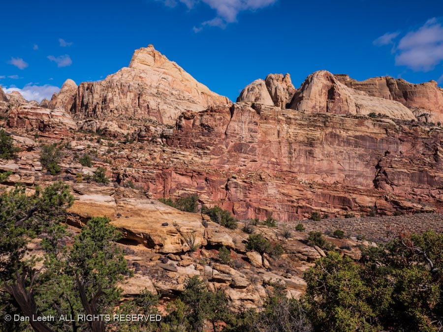
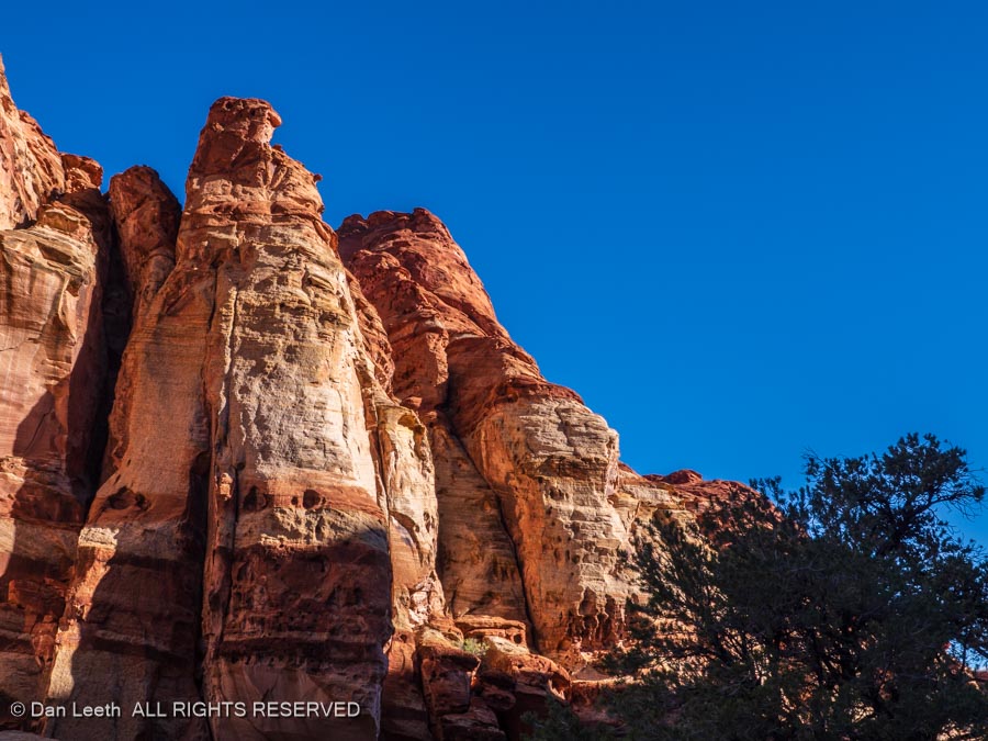
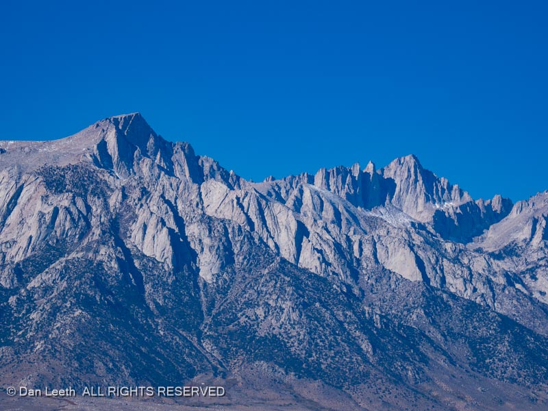
After three nights at the Ranch, we set off for Nevada, Our route followed the eastern escarpment of the Sierra through California, passing by Mt. Whitney, highest peak in the Lower 48 states. I’ve climbed it a couple of times.

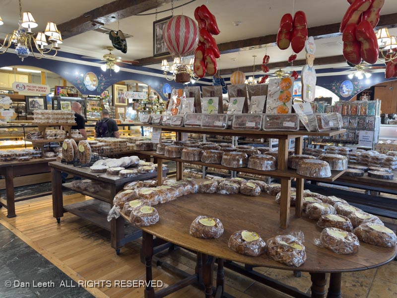
In Bishop, we stopped at Erick Schat’s Bakery for lunch.

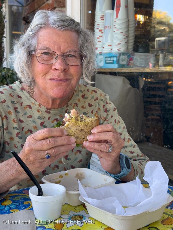
This place has long been a mandatory stop for a loaf or two of their excellent cheese bread.

Continuing north, we passed Mono Lake…

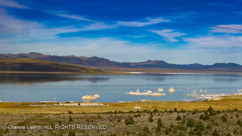
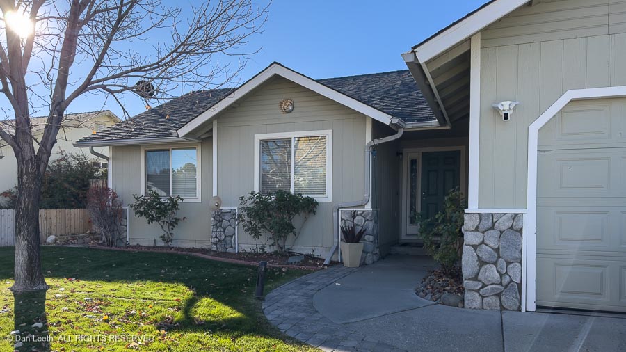
…and continued into Carson City where we are staying in a Bed without Breakfast house next door to Dianne’s sister’s home.

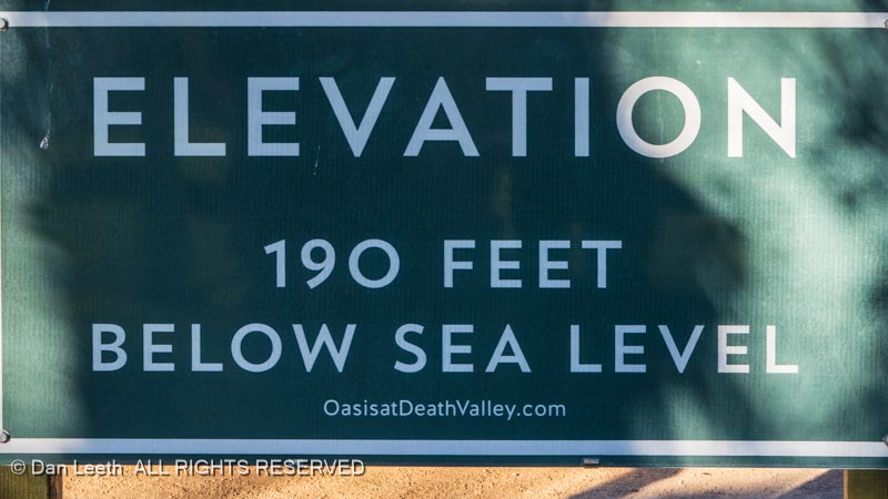
We’ll be going from 190 feet below sea level to 4,687 feet above. I hope we survive the thin air.

When Plans go Wrong

I spent several days planning, organizing and reserving sites for a month-long trailer camping trip beginning in Utah before heading to Joshua Tree and Death Valley National Parks and then up to Nevada for my father-in-law’s 100th birthday.

Then the government shut down.  We got a notice from Joshua Tree that our reserved campground would be closed for 2/3 of the days we would be there.  I could work around that, but we were worried about what else might close or be closed for our planned visits.  Making the best of the situation, we cancelled everything, eating over $100 in cancellation fees.

Instead, we kept our reservation at an RV park outside Capitol Reef National Park where we would be hiking with other members of the Colorado Mountain Club.  Then we made reservations for a three-day stay in an RV park in Hanksville, Utah, where we planned to do some photography.  From there, we would head to Green River for three days.

Capitol Reef

Our chapter of the Colorado Mountain Club (CMC) had an early October outing planned for Capitol Reef National Park.  Unfortunately, we did not learn about the trip until it was too late to reserve a campsite in the park. 

So, we did the next best thing and booked a site in a commercial RV park in nearby Torrey, Utah.  It’s a nice enough campground, but as it is with most commercial RV parks, the sites are sandwiched close together.

The CMC outing was to be a three-night affair.  We added an extra night to give me a day to research and photograph the Notom-Bullfrog Road for a Back-of-Beyond story for Utah Life magazine. 

The mostly gravel road parallels a long wrinkle in the earth known as the Waterpocket Fold through the park and beyond.

We pulled into our campsite in Torrey at dusk and quickly hooked up our water and electric connections.  We then checked the internet for the next day’s weather. 

FLASH FLOOD WARNING it screamed at us. 

I needed to think twice about my planned drive down a backcountry dirt road that crossed many, many normally dry washes.  Years ago, we got stranded on the Hole in the Rock Road because of a flash flood.  It was a multi-day, tuck-n-go situation trying desperately to keep the beer cooler in the shade to preserve what was left of the ice.

The morning dawned dry, so I decided to give the drive a try.  I packed extra food and warm clothing into the truck and set off down the road.  If it started to rain, I promised myself, I would immediately turn around and head back.

Of course, it did start to sprinkle, and of course, I continued driving.  I could have bailed out at Bullfrog on the shores of Powell Reservoir…

…and taken the highway back, but I didn’t.  Instead, I went with my original plan and doubled back to the Burr Trail Switchbacks and on to the little town of Boulder, Utah.

That meant I would have to once again cross the one and only truly patchy place on the Notom-Bullfrog road – a deep gully with a small stream running through.  As a precaution, I went wimp and shifted into 4×4 low range. Went through like a champ.

I next had to climb the Burr Trail Switchbacks that zigzag up the cliffs…

…with a 12% grade. It’s steep and there are no guardrails. This is not the place for flatlanders to drive.

Years ago, the county was going to pave the Burr Trail all the way from Boulder to Bullfrog, including the miles in the park.  Apparently, the National Park Service said, “Hell no, you’re not going to pave in the park!”  Supposedly the county had to remove a bit of pavement they had poured onto park property.  Once I left the park on the Burr Trail, I had pavement all the way.

The upper Burr Trail offered a beautiful drive with redrock cliffs and the golden cottonwoods of autumn.  In Boulder, I turned onto Utah Highway 12 and followed it back to our campground in Torrey.  It was here that the rain came down with a vengeance.  I’m guessing that the slot canyons we were going to hike on the following days will be cancelled.

It rained through the night with drops of water drumbeating on the trailer roof.  I felt sorry for anyone camping in a tent.  With the rain continuing off and on through the morning, other of our CMC friends went for a hike.  We decided to just stay warm and dry in our trailer.  Tomorrow, we hike.

With the park’s Scenic Drive closed due to flooding, all 14 of us CMC hikers set out on the Cohab Trail, which begins with views of the Gifford Homestead below.

The route wanders by cliffs capped with domes of white rock. 

The lighting was nice, and I lingered back taking photos.

About halfway along the trail, another trail breaks off and heads for Cassidy Arch, which was our group’s goal.  Dianne and I had done that hike before, so we abandoned the group and continued down the Cohab Trail to its exit along Highway 24 across from the Hickman Bridge Trailhead. 

We originally thought about hiking to Hickman, but when we saw the stuffed parking lot and cars parked along the highway for a quarter mile in each direction, we decided to avoid the crowd, We would just walk along the highway back to our truck, admiring sites and sights along the way.

We passed orchards…

…and walked the boardwalk past Capitol Reef’s somewhat unimpressive petroglyph panels. 

Mostly we just looked around, enjoying the beauty of towering redrock walls…

…skirted with autumn’s golden leaves.

Tomorrow, we will pack up and make the long (56 miles) drive to Hanksville for a three-night stay at Duke’s.

Hanksville

Of course, it rained through the night, which was no issue in Torrey. It did present a few problems when we set up in the mud at Duke’s Steakhouse and RV Park in Hanksville.

Dianne was all aflutter, but her wonderful husband calmed her down and with the ingenious use of boards across the mud, we made things work.

To make it up to my wonderful wife, I took her to lunch at Stan’s Burger Shack, Dianne’s favorite restaurant in the world (at least the restaurant she always wants to go for her birthday dinner).

We picked up a brochure on things to do in Hanksville, one of which was to visit the historic Wolverton Mill, now located behind the local BLM office.

The mill was originally built in the nearby Henry Mountains over a century ago by Edwin Thatcher Wolverton who was hoping to rediscover a lost Spanish gold mine up there. The mill has since been dismantled and moved to Hanksville.

Back at our slowly drying out, double-wide campsite…

…where we elected to kick back and enjoy an afternoon off. Hopefully, tomorrow we can drive the backroads to several of the area’s scenic sites.

And that’s exactly what we did, but not the sites we had originally planned to visit. Our first stop was to a small geological site known as Little Egypt.

We walked around for several hours, cameras in hand, and photographed many of the formations out here.

This area is barely on the map, and to keep it that way, I won’t tell you where it’s located.

We next drove out to Burr Point, which barely showed up on our map. No, this is not the Grand Canyon. It’s the canyon of the Dirty Devil River north of Powell Reservoir.

Getting here required driving ten miles on badly washboarded roads, but it was worth it.

With the skies darkening, we headed back to the pavement…

…and on to Duke’s Steakhouse…

…where I had a steak and Dianne had ribs.

Hopefully, tomorrow’s skies won’t look like this.

The mountains under these clouds were one of our original destinations, but I think we’ll make other plans.

Tuesday was another lazy day in the trailer. Dianne was working on Dianne things while I did all the serious relaxing. A bit after midday, we set out on our mission to photograph the old town of Giles, named after a former LDS bishop who could have been one of Dianne’s ancestors (Giles is her maiden name) and she hails from long abandoned Mormon stock.

The turnoff to Giles now accesses the Blue Valley Domes, a collection of geodesic domes available for folks who want to bunk in something a bit more unusual.

While they look neat, they’re a bit pricey and sitting right off the highway, they’ll be noisier and more public than I’d like. Maybe we’ll do them next year.

The long abandoned town of Giles was mostly on the other side of the river, and the road across was definitely washed out.

Lacking anything better to do, we topped up with gasoline, headed back to our cow (Cabin on Wheels), and discussed what to do about dinner. The choice was to either have leftovers or walk 100 yards over to Duke’s Slickrock Grill.

Well, I had a Rooster Cogburn order of chicken wings (all the dishes at Duke’s are named after John Wayne movies) and a Dead Horse Amber beer imported all the way from Moab.

[Long the land of 3.2 beer, Utah restaurants can now serve beer that’s 5% alcohol by volume and actually has flavor.]

Definitely a tasty treat. And the wings were pretty good, too.

On Wednesday, it was time to head home, with our planned three-night stay in Green River reduced to a one-night stopover. We booked a nice patio site at the Green River KOA…

…and headed over to Ray’s Tavern for dinner.

Normally we order their bacon cheeseburgers…

…with hand-cut fries, which are fantastic. This time, however, I decided to try a steak.

Unfortunately, the only wine Ray’s serves comes in a box, so I had my New York Cut steak with a beer.

Still, pretty damn nice.

The next morning, we made the 90-mile drive back to our little farming village in the Grand Valley of Colorado.

In a week, Dianne takes off for a three-night Snake Oil sales event in Dallas.

[Okay. It’s not really snake oil. It’s a collection of scientifically proven activation products that will improve your health and well being. Tests have shown that people who do not take these products will eventually die, so get with her immediately to secure any and all of these valuable products. Our trip to Mexico lies in the balance.]

The day she comes back from Dallas, we depart for Death Valley…

…and then on to western Nevada…

…on what was originally going to be the second half of this trip.

We’ll be there for her dad’s 100th birthday celebration…

…and who knows what else.

Sylvan Lake State Park

It’s mid-August and we’re off to explore a trio of Colorado State Park campgrounds. Our first stop will be Sylvan Lake State Park south of Eagle.

From Fruita, we shot down I-70 toward Eagle with our Nissan GPS navigator (Tighty) pointing out the route.  After exiting the Interstate and circling through what seemed like an endless string of roundabouts, we finally got onto Brush Creek Road and headed south toward the Sylvan Lake State Park Visitors Center.

We stopped at the VC, checked in for our campsite and bought a couple of maps of the area.  I had to tell my lovely wife “NO” to her buying anymore state park t-shirts. (Or maybe that’s what she said to me.)

Five miles farther down a graded dirt road, we arrived at our lakeside campground.

The Sylvan Lake Campground offers no hookups.  We would need to fill our freshwater tank from spigots and charge our batteries with solar.  We stopped near one at the day-use parking area and filled up with fresh spring water.  At least that’s what the sign said it was.

Our campsite was a pull-through site with a picnic table and campfire ring, which could not be used because of fire restrictions.  A small, camper services building with flush toilets and coin-op showers stood a short walk away. 

The next morning, we strapped on daypacks and headed up the Sneve Gulch Trail, named for one of the early inhabitants of the area.  The route involved a steady uphill grunt through the forest…

…with spots along the way providing stunning views of the 42-acre reservoir below.

Back in camp that afternoon, I got some shots of some of the local wildlife a few hundred yards from our trailer.  We made sure we put everything away that night and kept the bear spray handy.

The next day, Dianne stayed in camp while I went to work, exploring and photographing the area for one of my upcoming Colorado Life Magazine camping columns.  [Yes, this will be a tax-deductible trip.]

The Brush Creek Valley was homesteaded back in the 1800s, and a few of their old structures still grace the area. 

I love old buildings and relish the opportunity to silently search out the stories they could tell.

The road beside the campground continues south, crossing over Crooked Creek Pass before dropping into the Ruedi Creek drainage. 

Ahead towered peaks of the Saguache Range. 

I thought about driving down into the valley below, but it was getting late so I just turned round and headed back to camp.  After all, I had work to do. 

I had taken around 450 shots, all of which needed to be keyworded.  In olden days before the invention of digits, I could simply number the rolls of exposed film and with the help of scribbled notes, identify what each image depicted when I got home.  Now, a victim of the 21st century, I would need to upload the digital shots to my laptop and with a glass of wine in hand, spend the evening identifying subjects and typing keyword/captions. 

On our third full day in camp, we hiked the 1½ mile trail around Sylvan Lake where the only motors allowed on the water are battery-operated trolling motors. 

Anglers fished from shore…

and from rafts in the water.

We watched folks kayak and SUP (Stand-Up Paddleboard) across the lake’s calm surface, including a pair of young girls, about the size of third-graders out paddling a kayak on their own. 

Many folks had a dog (or two) onboard.

“We should bring our grandchildren out here!” I suggested to my lovely wife. 

She reminded me that we don’t have any known grandchildren. 

“Maybe we could rent some?” I offered.

Our time at Sylvan expiring, the next morning we hooked up the trailer, dumped wastewater at the park’s dump station and opened the fresh water drain plug.  Leaving a thin trail of dampness along the pavement, we set off for the next of this trip’s three state park campgrounds.

Steamboat Lake State Park

It was a relatively easy drive from Sylvan Lake up to Steamboat Lake.  When we arrived, we found a line of RVs at the dump station.  Some may have been dumping, but most of us were there to fill our fresh water tanks.  After filling ours, we proceeded to our pull-through campsite on the Wheeler Loop.

After setting up, we took a short stroll to check out the nearby campsite cabins.

We passed the camper services (shower house) building and continued on to the marina. 

They rent pontoon boats here, some of which have propane grills on the back.  It would be fun to rent a one for an on-the-water picnic, but at $600+ for half a day, it was a bit out of our price range.  We need to come here with like-minded friends who would be willing to split the cost.

Monday was a lazy day around camp.  On Tuesday, we drove out down Seedhouse Road for a hike to Three Island Lake in the Mt. Zirkel Wilderness Area.  We had picked up a handout sheet listing 25 hikes in the area, and Three Island sounded like a good option.  It would have been had we made it the entire distance.  Instead, we petered out before actually reaching the lake.  Maybe next time.

Dianne and I spent most of Wednesday making money.  While she remained in camp working on her LifeVantage business, I drove around the park taking photographs for an upcoming Colorado Life camping column.

After circling the lake and shooting 400+ photos, I went back to camp, scooped up the wife and we headed into downtown Hahn’s Peak Village for a late lunch-early dinner at the Hahn’s Peak Cafe.

There, I enjoyed a couple of Jamaican Red Stripe brews with a delicious green chili burger. 

From there, we went on to Steamboat Lake’s sister park, Pearl Lake State Park.  They have yurts here…

…and a hillside campground of sites with neither hookups nor dump station. 

Back at Steamboat Lake, we drove to Rainbow Ridge and shot photos of sunset clouds over the lake while listening to sandhill cranes whooping in the distance.

Thursday was chores day.  Dianne did laundry at the park’s laundry facility while I filled up fresh water and got down Bob, our sewer wagon, to drain our gray- and black-water tanks.

Friday was go into town day.  We drove into Steamboat Springs, had lunch at Del Mezcal Mexican restaurant downtown, bought a replacement folding chair for me at Wally’s Mart and stocked up on groceries at City Market.  After topping up the tank with City Market gas, we headed back to camp. 

Our big hike came on Saturday when we scaled Hahn’s Peak.  It’s only a two-mile slog up from the trailhead parking lot, with the final third of a mile up 300 vertical-feet of loose talus. 

State Park rangers told us that on April Fool’s Day a few years back, the local paper wrote that they had just opened a Starbucks atop this 10,839-foot peak.  Baristas, they wrote, were lowered into work by helicopter.  What we found up there was nothing but a retired forest fire lookout with nary a caramel macchiato to be seen. 

That night, we topped up our wine glasses, sat outside the trailer and watched another glorious Colorado sunset.  I was so inspired by the sight, I posted the following to one of our trailer camper sites group on Facebook:

The first thing we did when we bought our current trailer was to remove the built-in TV.

Rather than sitting inside watching the Kardashians, we sit outside, glass of wine in hand, and enjoy sights like this.

Needless to say, I got lots of negative responses to the posting.  I guess trailer campers must really like the Kardashians. 

Sunday was getaway day.  We loaded up, hooked up and headed up to the dump station.  There, a line of motorhomes and trailers waited for their turn at the one sewer drain that wasn’t stopped up.  Having dumped on Thursday, our black and gray tanks weren’t that full.  We decided we’d just carry it to our next campsite and dump there.

Goodbye Steamboat Lake.  We’ll be back, maybe next time with our non-camping friends who can bunk in non-camping comfort at one of the cabins while we stay in the nearby campground.

State Forest State Park

From Steamboat Lake, we dragged the trailer down to Steamboat Springs, up over Bunny Ears Pass, down to Walden and across to State Forest State Park.  To find our campground, which was not on our 2017 park map and absent from any roadside signs, we drove to the Moose Visitor Center.  There we were given up-to-date maps showing the proper turnoff.

We’re in what is now called the North Park Campground.  Until a few years ago, it was a commercial KOA Kampground.  According to the lady at the Visitor Center, when the husband of the couple who owned it died, the wife decided to sell the property.  Ultimately, the state bought it and turned it into a public campground.

The old A-frame KOA check-in building still stands in a vacant, somewhat dilapidated condition. 

The old KOA cabins remain and are apparently still rented out by the park. 

The bathhouse appears to be brand new and is beautiful. 

We have a nice site with full hookups.  It must have been a handicapped site at one time with a cement pad under the picnic table and a cement sidewalk leading to the bathhouse.  It must not be considered handicapped now or I would have reserved something else.

I’m convinced that campgrounds are universally designed by folks who have never camped.  Here, for example, our sewer connection is on the opposite side of the sidewalk from where the trailer is parked.  Thus, our sewer line must cross the sidewalk.  Since the sidewalk only leads to our picnic table, our backyard neighbor suggested we just back the trailer to the sidewalk and run our hose across.

Our first full day here, we drove around part of the park.  Friends from Grand Junction were also camping somewhere out here.  We had their campsite number but not the name of the campground they were in.  They’re anglers, so we first looked for them up the road around North Michigan Reservoir.  They were not there.

Next, we headed down the highway to the Ranger Lakes area, where they were parked.  We camped in this campground 12 years ago with our old A-frame trailer – the fourth trip we ever made in that trailer. 

Having had enough of this sitting around, we went out for a hike on Tuesday.  I chose a six-mile loop trail that would lead from the Visitor Center to Ranger Lakes and back.  The writeup promised this was prime moose country, and I wanted a photo of a moose for my Colorado Life feature.  We kept looking out to meadows and marsh lands, but nary a moose appeared.  Bullwinkle must be taking the day off.

The weather here has been overcast and rainy since we arrived.  The skies graciously remained dry until we got to Ranger Lakes.  When the sprinkles started, we knocked on our friends’ trailer door and sat inside.  The rain stopped and we hit the trail again.  Finding the second half of the loop proved to be a bit of a challenge, but we managed to find the correct path back.  Still no Bullwinkle. 

So far, the only moose we’ve spotted have been the stuffed moose inside the Visitor Center…

…a statue of a moose made of barbed wire outside the Visitor Center…

…and, of course, the trophy moose head we have mounted in our trailer.

Wednesday was to be photo day for my upcoming Colorado Life story.  Unfortunately, the day dawned with battleship gray skies.  No, today would be a sit in the trailer and read day.  With only one tiny bar of Verizon cell coverage, we couldn’t even hit the internet for Facebook posts.

In the afternoon, we fought off boredom by getting in the truck and driving down the road, first to the Cameron Pass area. We followed that with a jaunt up toward North Michigan Reservoir to visit the yurt we bunked in on our first few trips to State Forest State Park.

It now has hard siding on the outside. It looked different back when the sides were fabric.

Our last day at State Forest dawned slightly more clear. Hoping to photograph an unstuffed moose, we drove up to the Crags off Cameron Pass.

Finding no moose along the highway there, we returned to the North Michigan Reservoir area where we discovered an Escape trailer parked in a really nice, get away from it all campsite at the north end of the pond.

Our park map showed a viewpoint called “Moose Overlook” up the road. Hoping it wasn’t a case of false advertising, we drove to it.

The map didn’t lie. This Moose Overlook was so named because it was built by a Moose Lodge from Fort Collins.

It began to look like the only moose we were going to see was a moooooose grazing beside the road.

Fortunately, my eagle-eyed wife did spot a pair of real moose foraging along a hillside a good quarter mile (or more) away. Even with my best telephoto lens, the animals were tiny brown spots in a big green landscape.

It was still better than this Canadian moose photo I took a few years ago in Newfoundland with the same lens.

(A better telephoto lens is now on order.)

Today was our 44th anniversary. Back in camp, Dianne grilled a fine bison steak dinner, which we enjoyed with a bottle of Bookcliff Vineyards’ best.

The next morning, we drained sewage, unhooked water and power…

…hooked up the trailer and hit the road for home…

…with, of course, a quick burrito stop along the way.

A Midweek Weekend of Cabin Camping

Wives are handy things to have. Mine, for example, occasionally comes up with suggestions for pleasant getaways.

Last autumn, when we drove past the Kebler Corner enclave near the junction of Kebler Pass County Road 12 and Colorado Highway 133, my wonderful wife suggested we should go there sometime. Then in the depths of winter, she suggested we should go rent a cabin for a few days this summer.

I learned a long time ago that wifely “suggestions” are actually “mandates,” so I immediately went online, found a log cabin for two we could afford to rent at Kebler Corner and booked a three-night midweek weekend stay.

Our cabin featured an out-front fire pit, a nice large kitchen inside where my wonder bride could prepare fantastic meals for her most-deserving husband and…

…a bedroom featuring a four-poster bed.

On the side of the cabin, we had a semi-private wooden deck with a picnic table, propane grill and circular “couch.”

While the walls gave us a bit of privacy from the neighbors, our activities were monitored by a family of marmots who resided beneath our deck.

Our first full day there, we explored the facility, checking out their Walmart-style RV campground (not our style)…

…and the spacious (and empty) tent camping area (also not our style).

After declining to try the climbing rock…

…we took a short hike into the hills nearby. Our route took us across Anthracite Creek…

…and up an old road…

to a grassy meadow with great views of the West Elk Range…

…and the dam at Paonia Reservoir.

Up there, we found an old table…

…and some abandoned farm equipment.

We returned to our cabin, had a great steak dinner and prepared for our big hike the following morning.