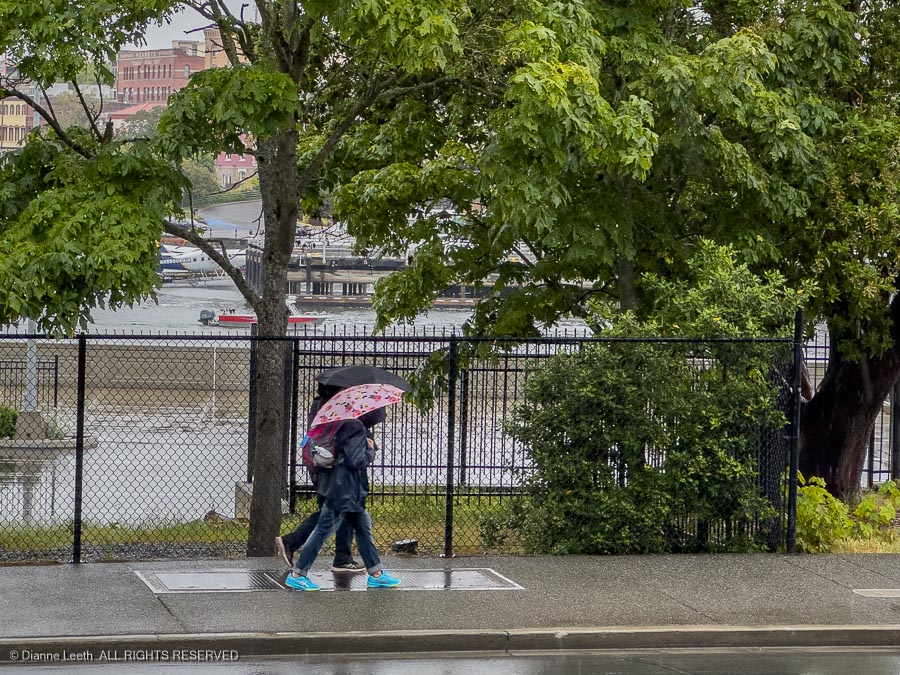
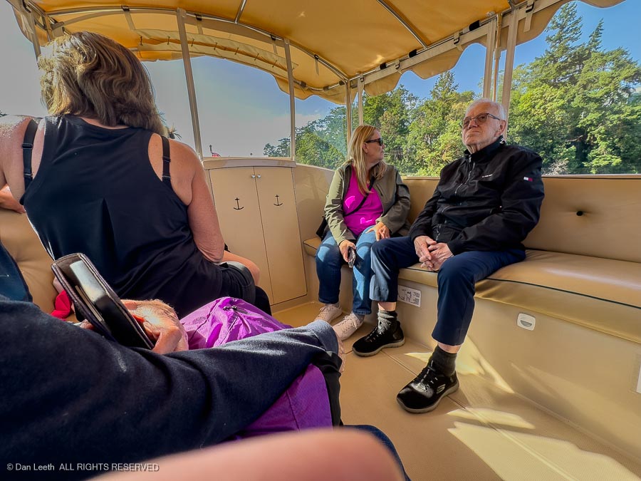
It looked like a stay-indoors sort of day, but the rain finally cleared and we got out in some afternoon sun for a boat tour of the Victoria harbor.
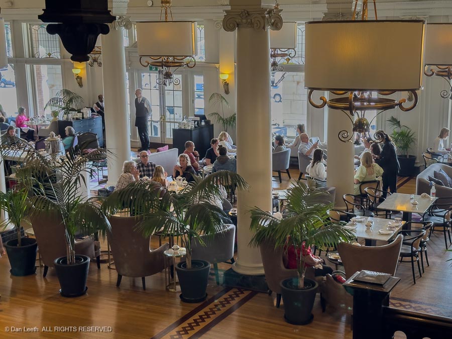
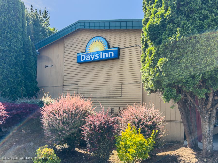
Waiting for our departure , we took a quick peek inside the Fairmont Empress Hotel across the street. It proved to be even nicer than our Days Inn.
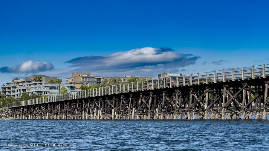
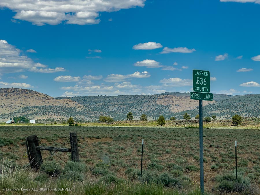
Onboard our harbor cruise, we motored under old trestle bridges, now part of the Galloping Goose Regional Trail, a popular 55-kilometer rail trail connecting Victoria to the ghost town of Leechtown north of Sooke.
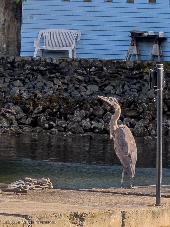
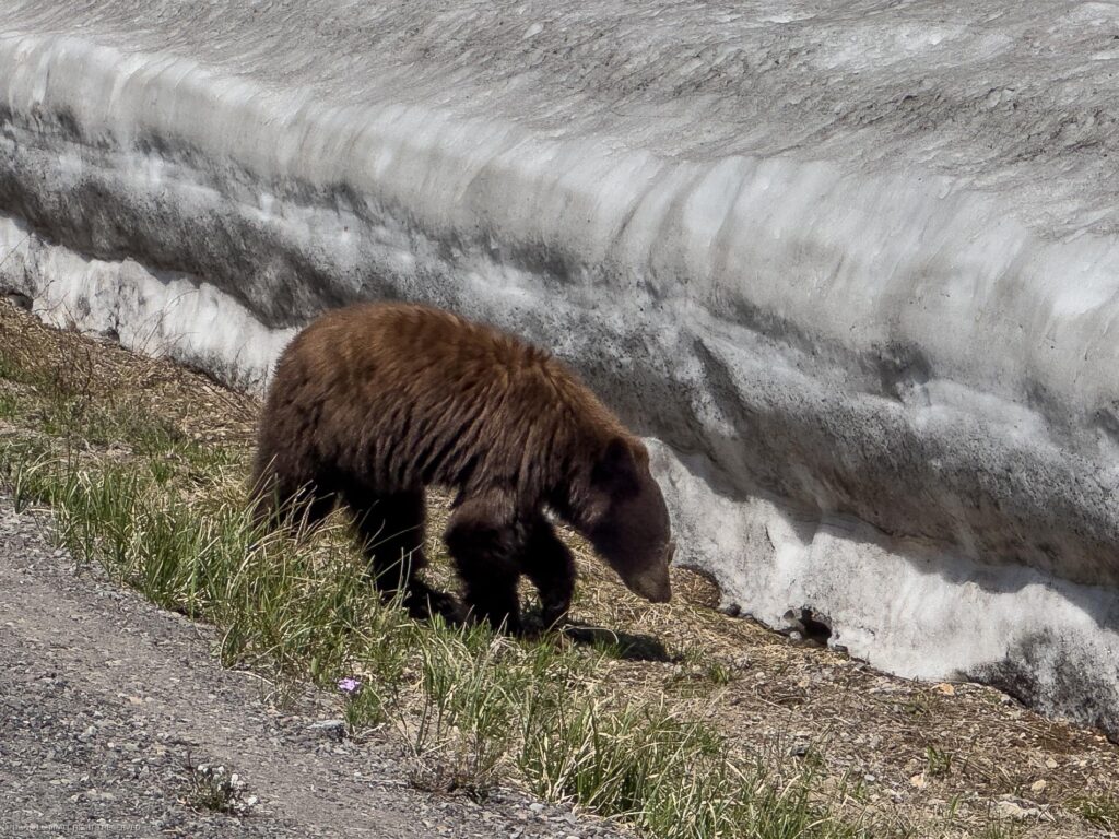
And we saw wildlife.
It proved to be a pleasant way to spend time and experience a different side of Victoria.
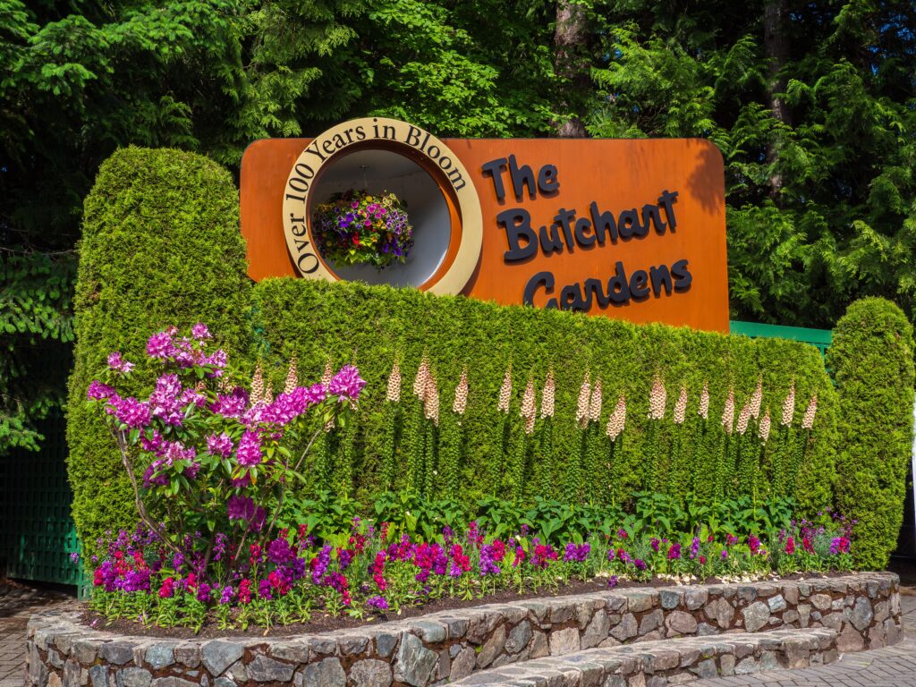
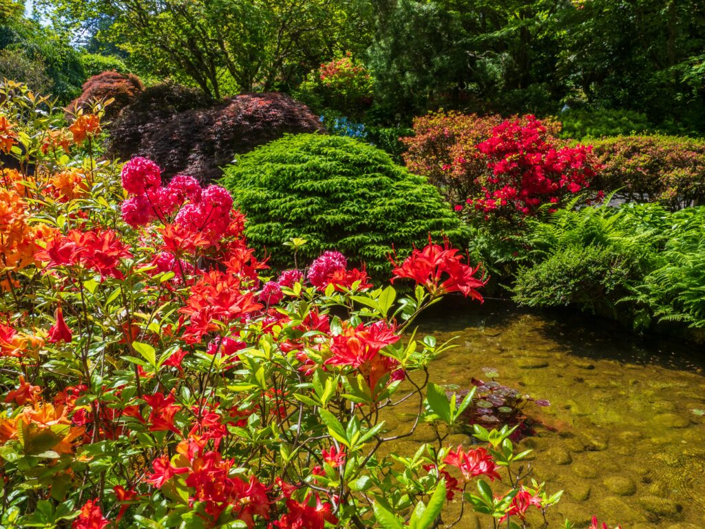
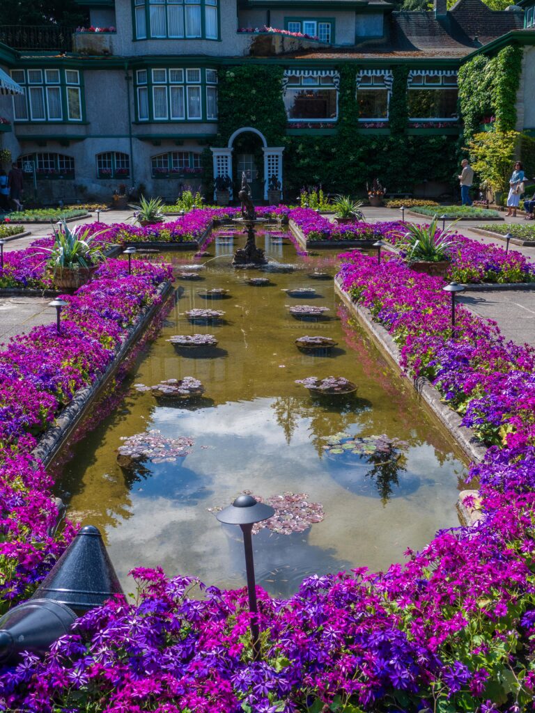
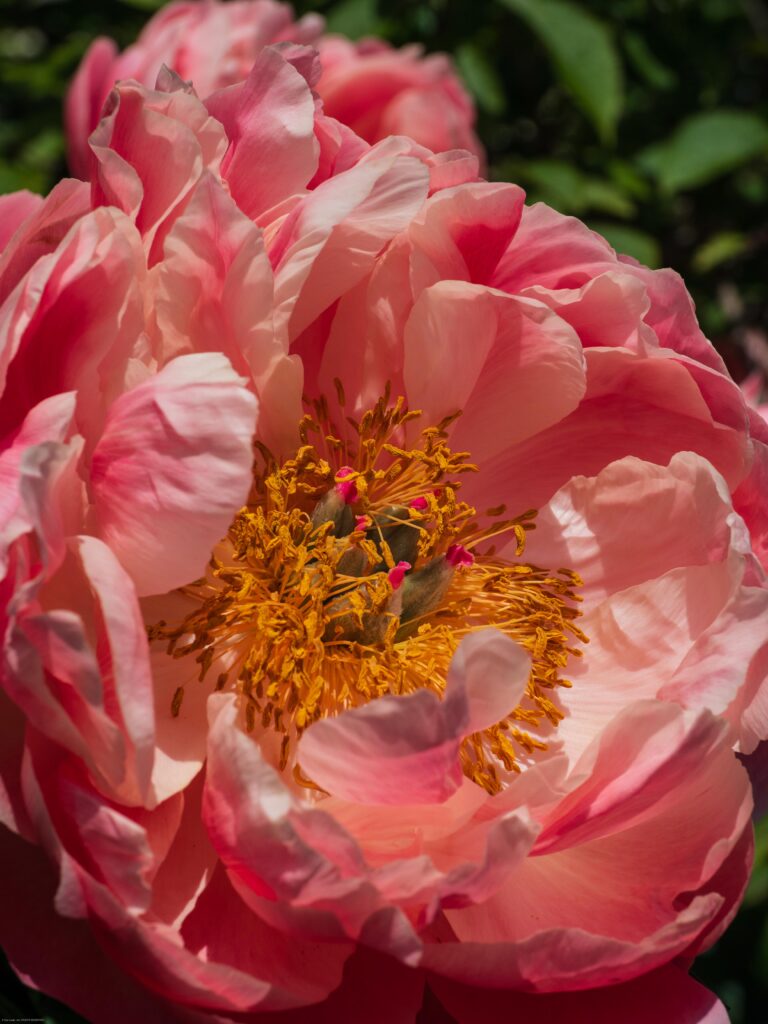
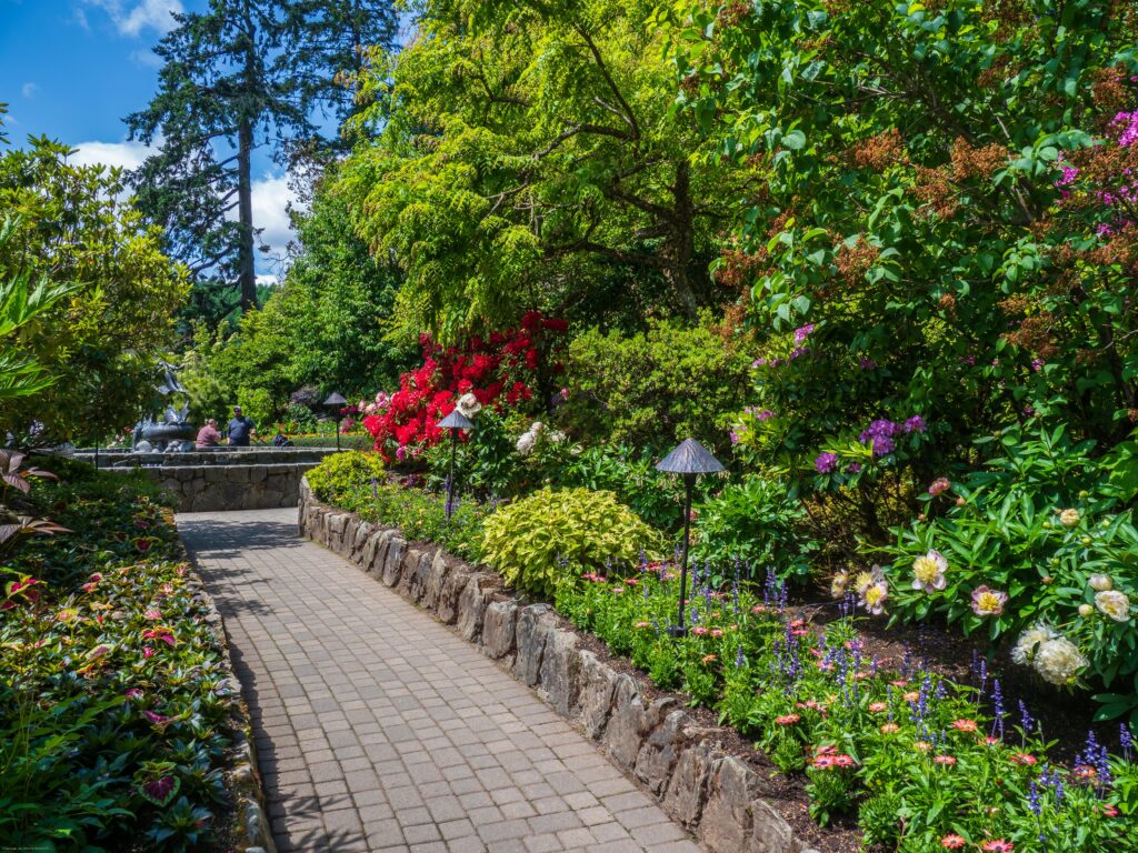
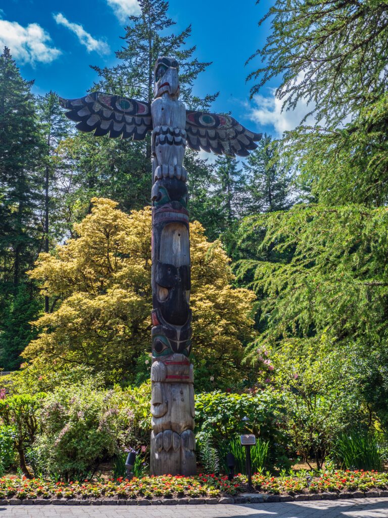
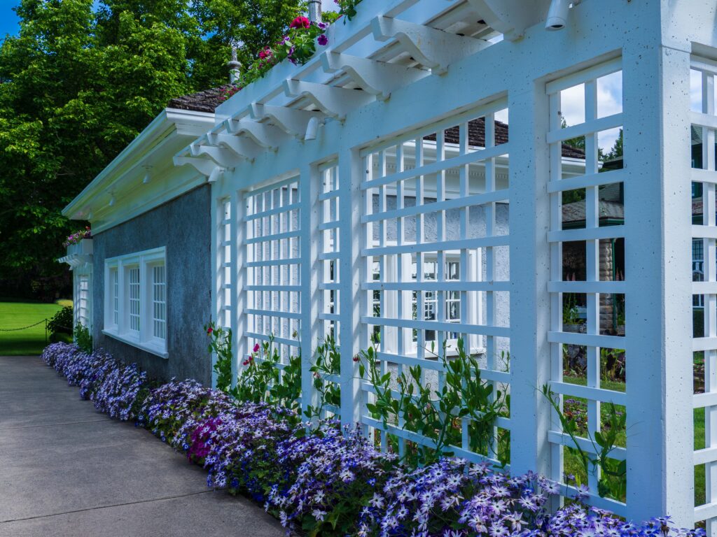
Sunday, our final full day in Victoria, we spent wandering through the world famous Butchart Gardens.
A century ago, Robert and Jennie Butchart moved to Vancouver Island to build a cement plant. As cement production exhausted the limestone deposits, Jennie envisioned a grand garden in its place. This is the result.
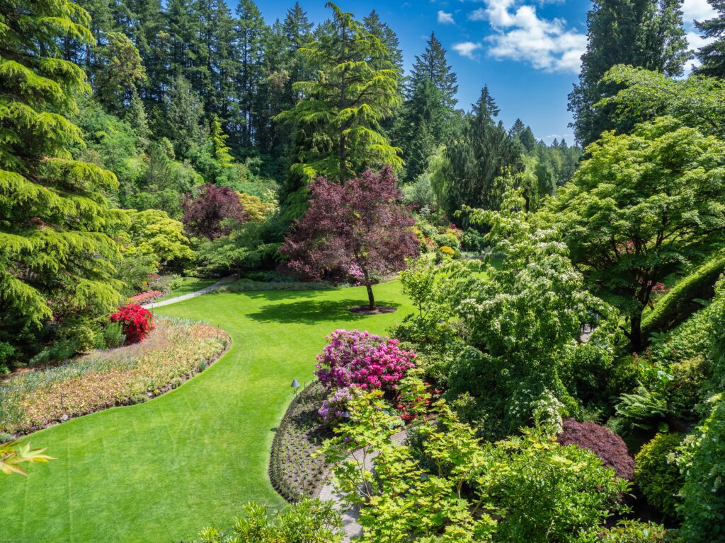
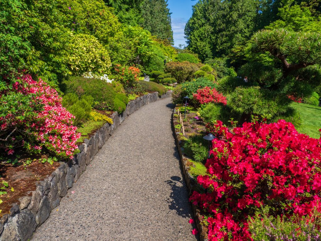
We spent nearly seven hours walking around, trying to capture the beauty in digits. Here’s just a little of what we saw:
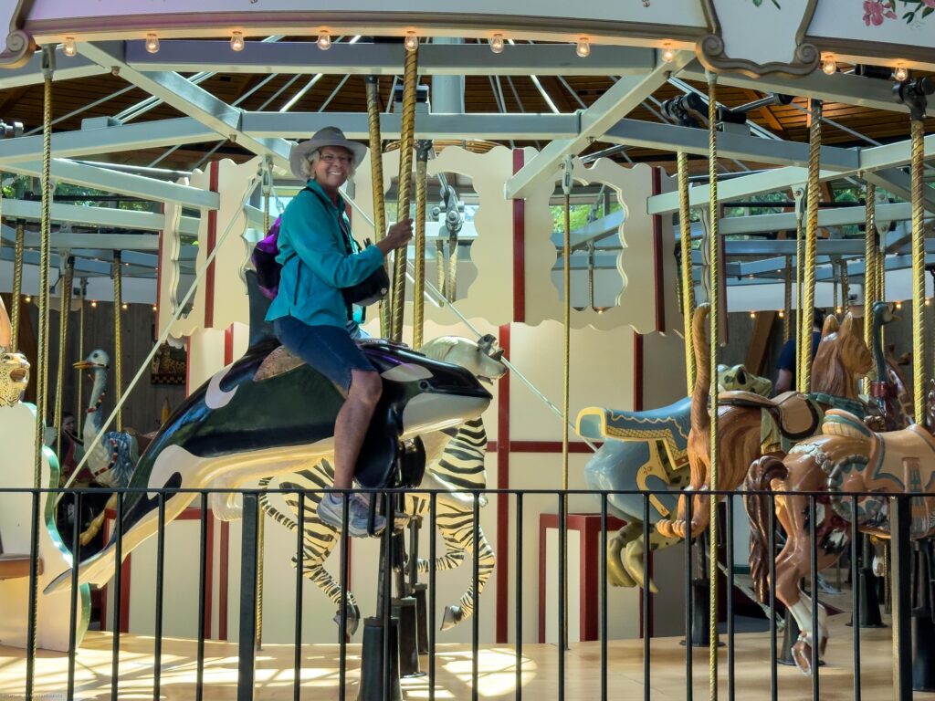
One of the popular things to do in Victoria is to go whale watching. We didn’t have time to do that, so Dianne did the next best thing. At the Butchart Gardens carousel, she went whale riding.
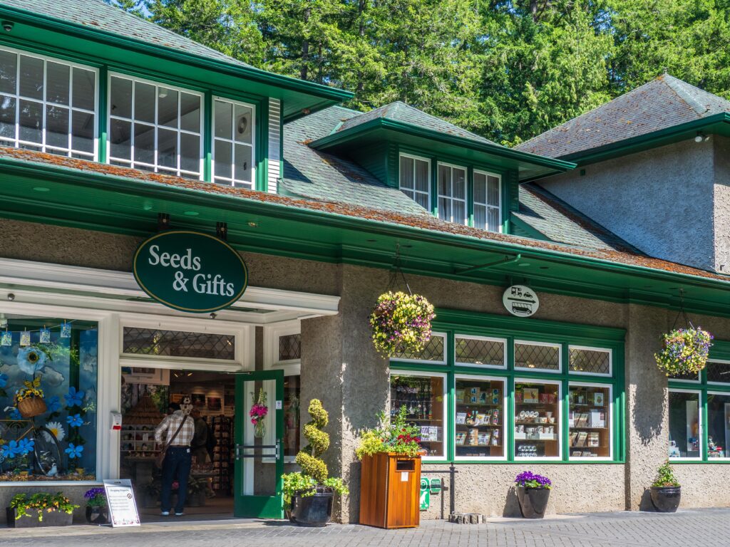
We finally left Butchart Gardens without buying a thing in the gardens’ gift shop.
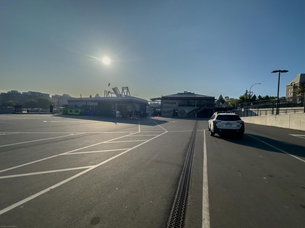
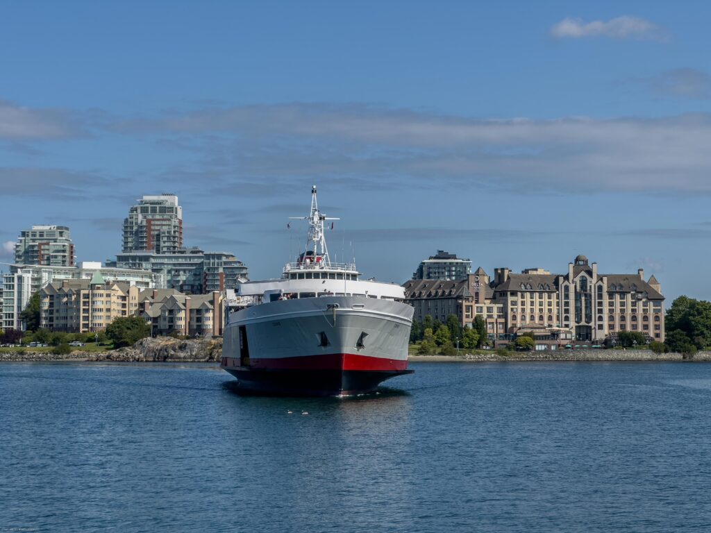
We had prebooked passage on the early ferry back to the states. With our hotel sitting directly across from the terminal, it was easy for us to be the very first car in line for boarding.
The Coho ferry arrived, we boarded, and soon were on our way back to the United States.
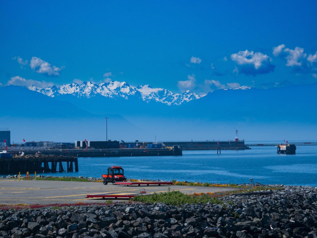
The peaks of the Olympic Mountains loomed ahead as we left Victoria’s harbor.
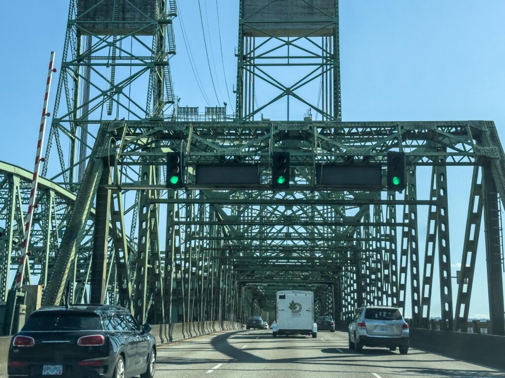
After about 90 minutes afloat, we arrived in Port Angeles, cleared customs and were on our way south along the Olympic Peninsula to Olympia. From there, we headed down I-5 toward Oregon. We crossed into Portland with plenty of traffic to keep us company..
We continued south to Salem, where we stayed in yet another Days Inn. Nothing fancy here, but it was clean and comfortable.
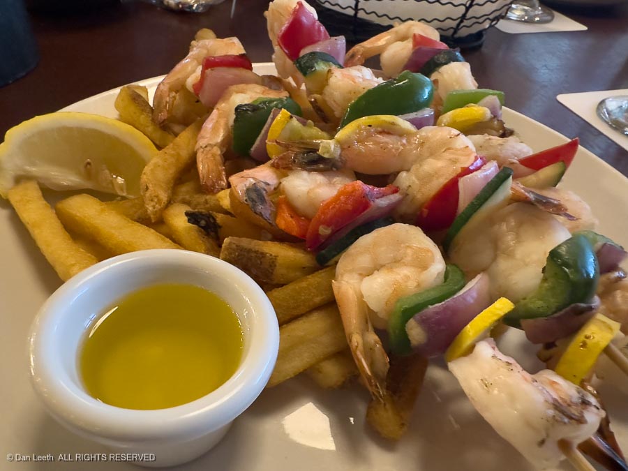
That night we headed out to a local seafood restaurant for a tasty dinner.
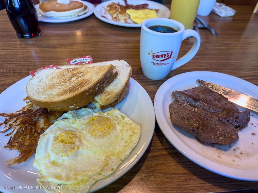
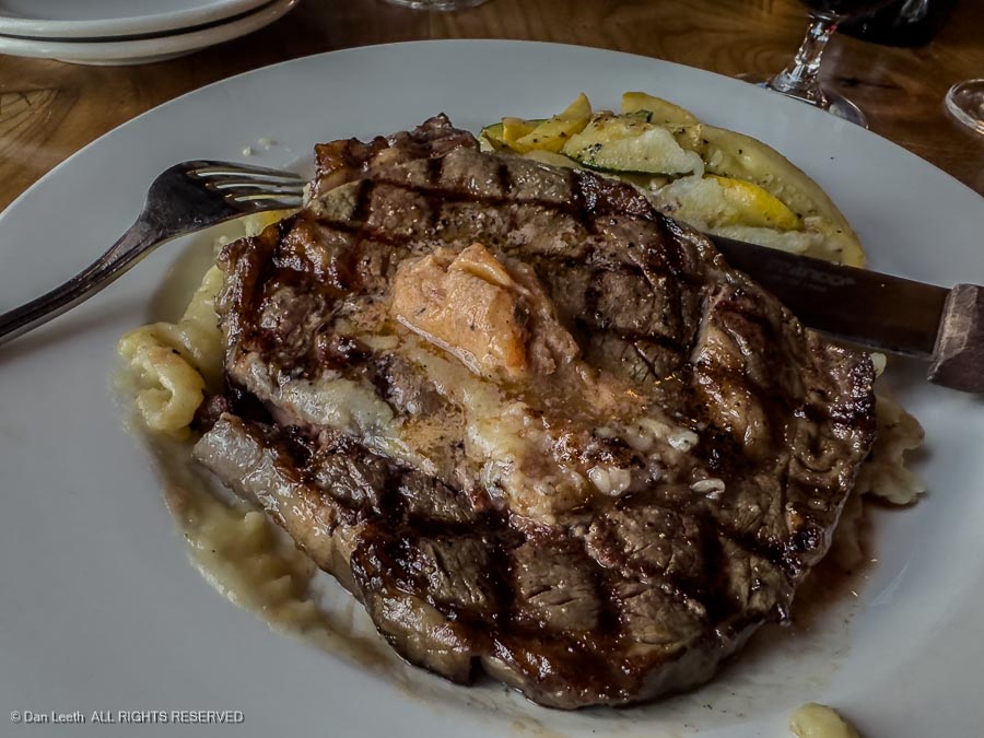
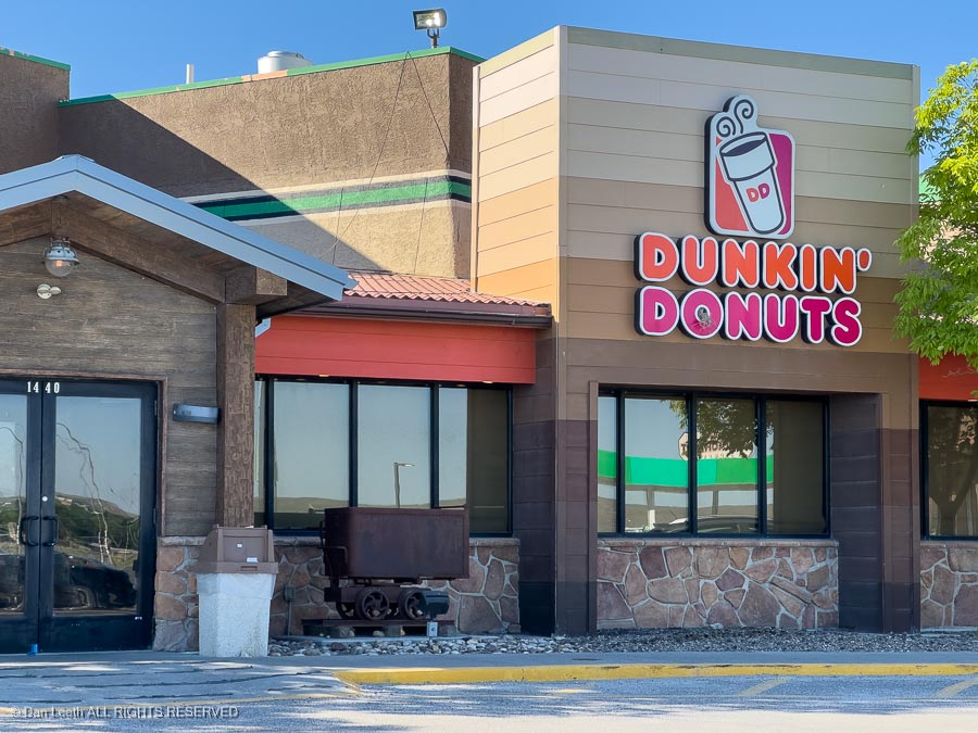
Rather than eat the free breakfast at the motel (granola bar plus coffee), we headed over to Lenny’s for steak and eggs – a real American breakfast.
[Yes, another food picture.]
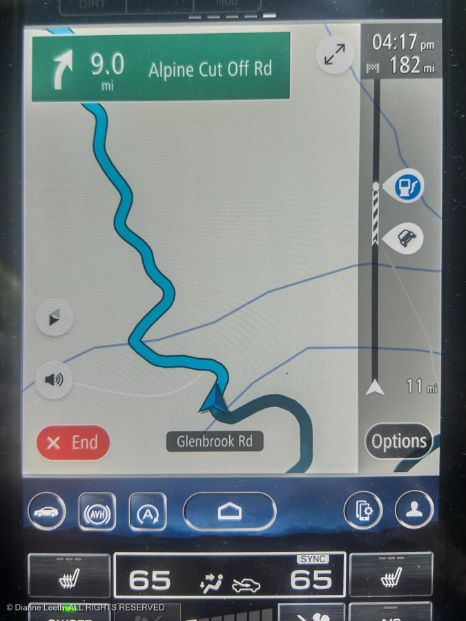
Then it was back on the interstate heading south. Tired of dodging trucks and Californians who think they’re NASCAR drivers, the captain (me) made an executive decision We would find an off-the-freeway route to the south. My trusted navigator, Dianne (a woman who shares DNA with that famous pilot, Wrong Way Corrigan), plotted a route that would take us west through Corvallis and down through farm country to Eugene. That was the plan. This is what we ended up with.
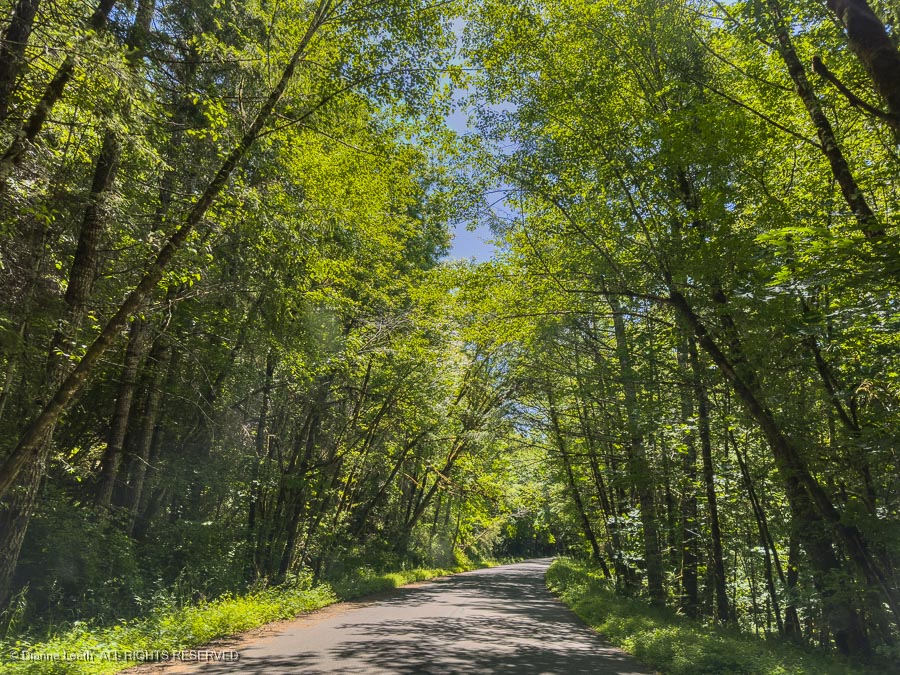
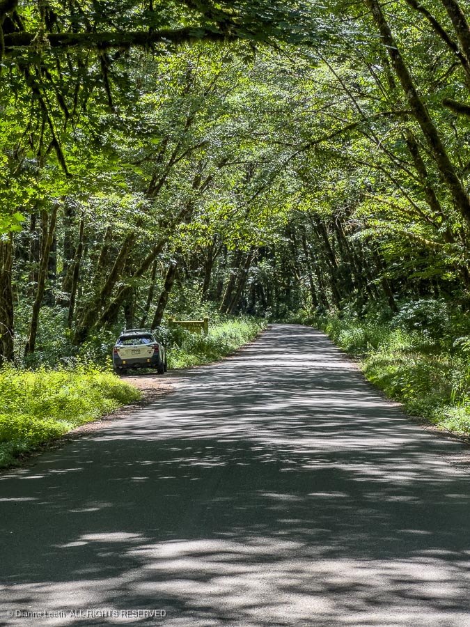
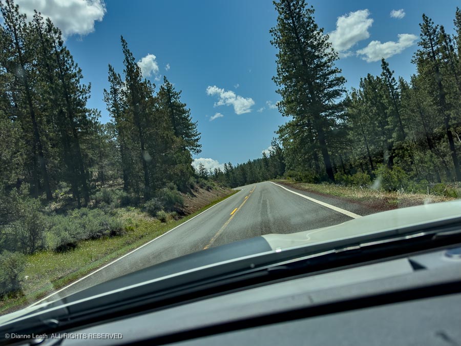
Did I mention Wrong Way Corrigan? In 1938, he set out to fly from New York to California, but ended up in Ireland. We missed Ireland, but somehow ended up on a narrow, paved road that wound like a drunken snake through the coastal forests of Oregon.
Surrounded by a corridor of greenery and with virtually no traffic, we loved the detour, stopping several times for photos along the way.
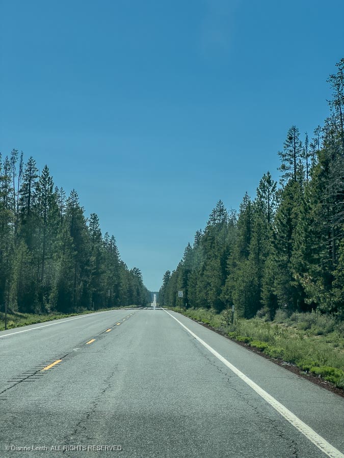
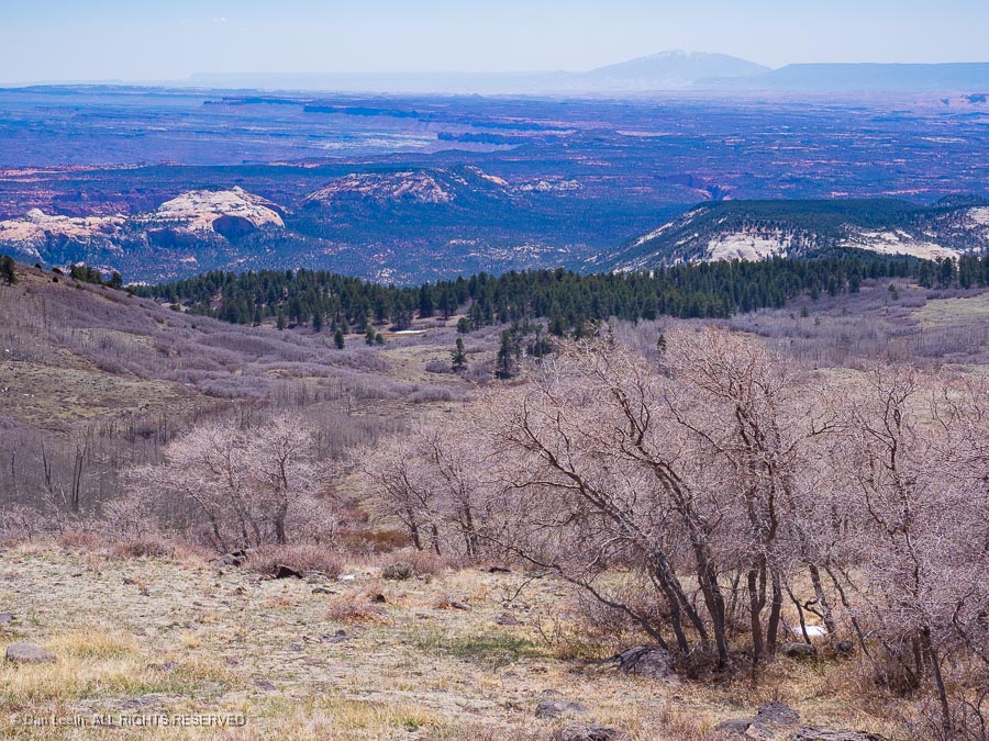
In Eugene, we got back on our planned two-lane route that would take us to Crater Lake.
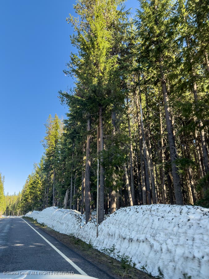
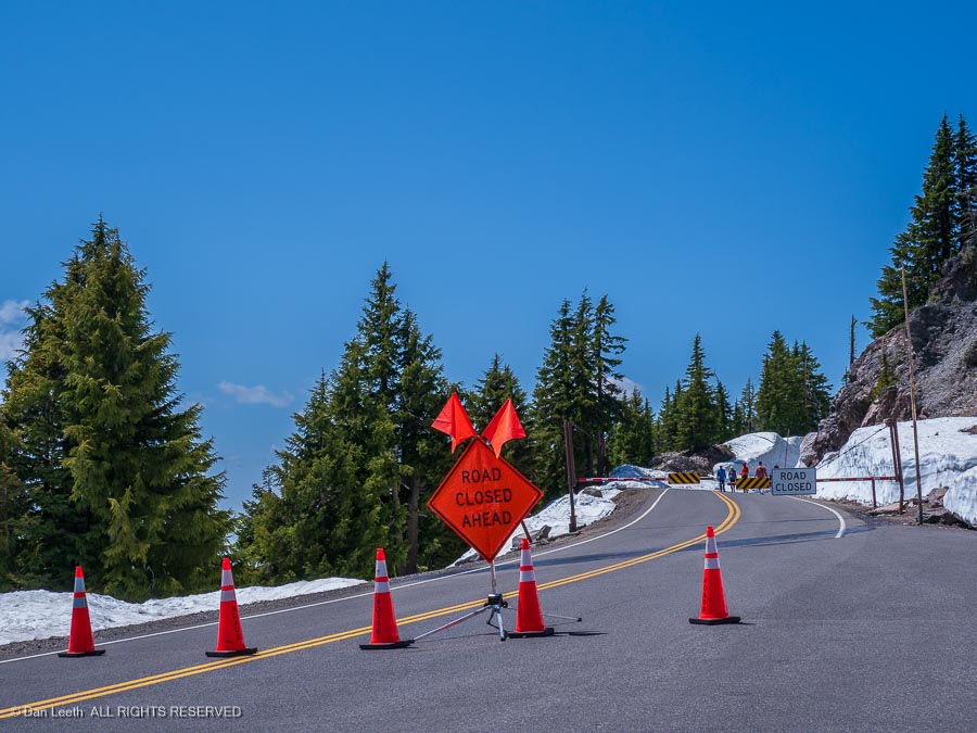
Heading into the national park, we encountered snow.
The more convenient north entrance to the park was still closed due to snow, as were the roads around the crater rim.
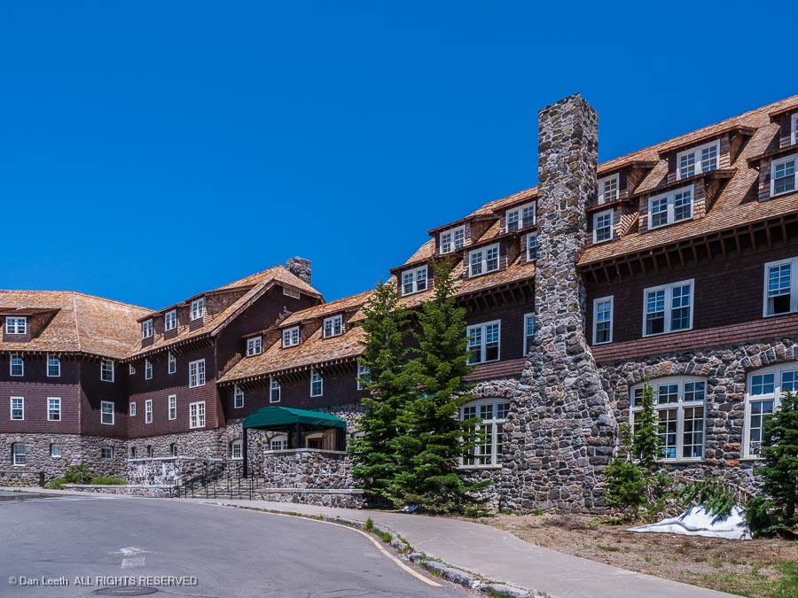
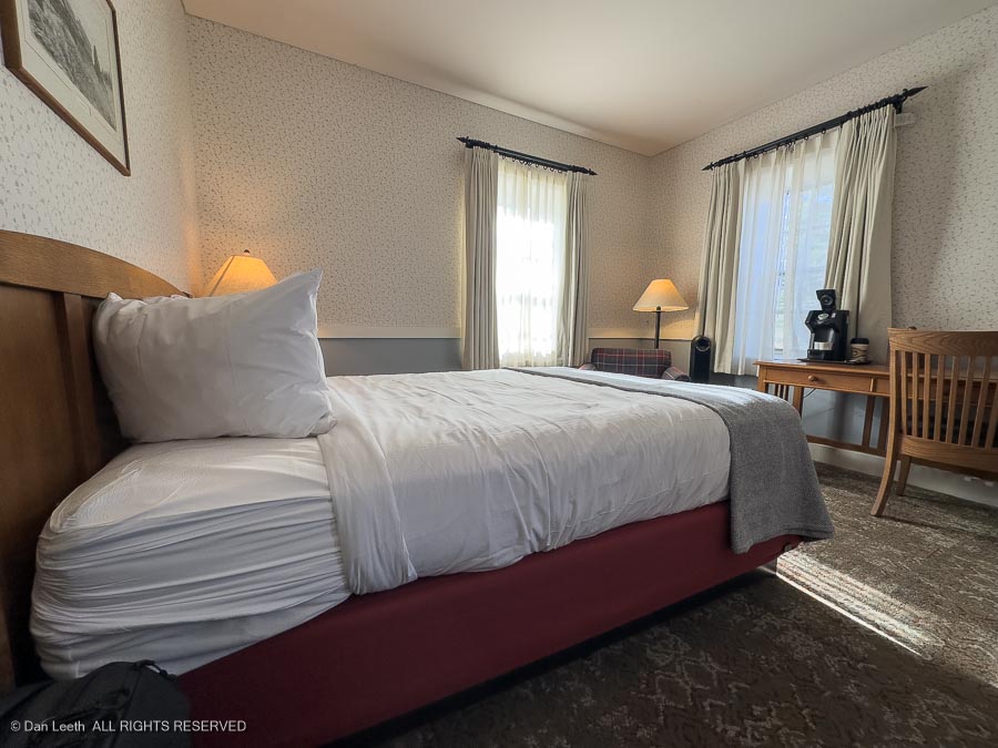
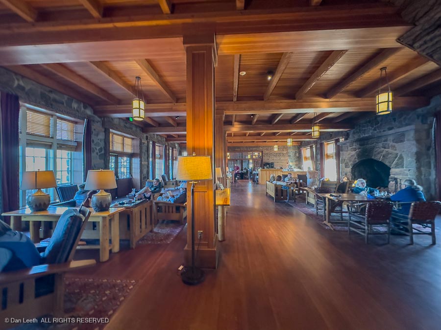
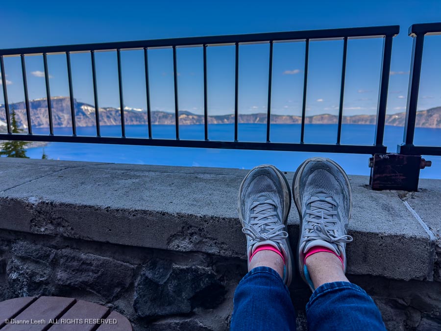
We had reservations at the beautiful Crater Lake Lodge…
…one of those beautiful hotels built back when rooms were small…
…and lobbies grand.
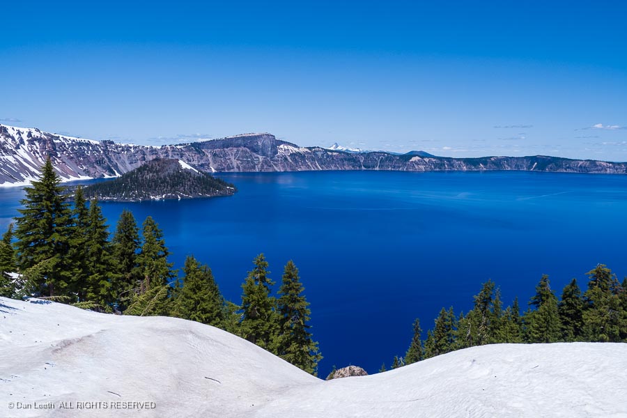
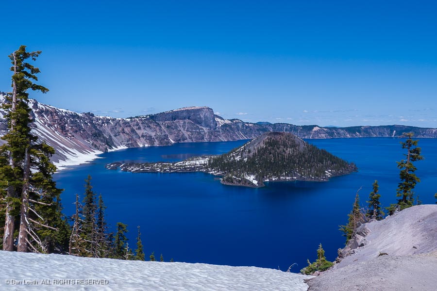
Crater Lake has always had a special place in my memory. The first time I was up here was with my Kansas-born father.
He looked out at the glistening blue water filling an extinct volcanic crater and said…
…”It’s just another lake.” Lot of those in Kansas, I’m sure.
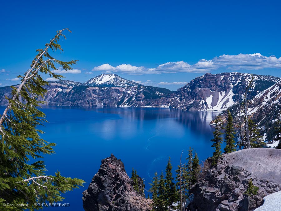
Well, it’s a pretty damn special lake to me. We had two nights here, perfect for just sitting back enjoying the lake…
…checking on the wildlife…
…and devouring lodge dinners of steak downed with Oregon wine.
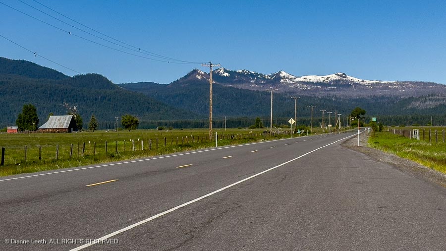
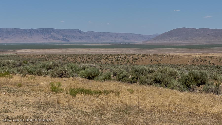
From Crater Lake, we drove south to Gardnerville, Nevada, for a visit with the in-laws.
It’s roughly a 350-mile drive, largely through farm and cattle country, which should take us around six hours to complete. Leaving the lake at 9:00 a.m. in the morning, we figured we’d arrive at the in-laws around 3:00 p.m. in the afternoon.
About 2/3rd of the way down one long, lonely stretch of California highway, we came to a construction road block. We had a choice of either waiting three hours for the road to open, or backtracking over 100 miles and taking another route. I’m used to waiting (I’m married), but even Dianne doesn’t usually take that long to do something (most things). We turned around to head back.
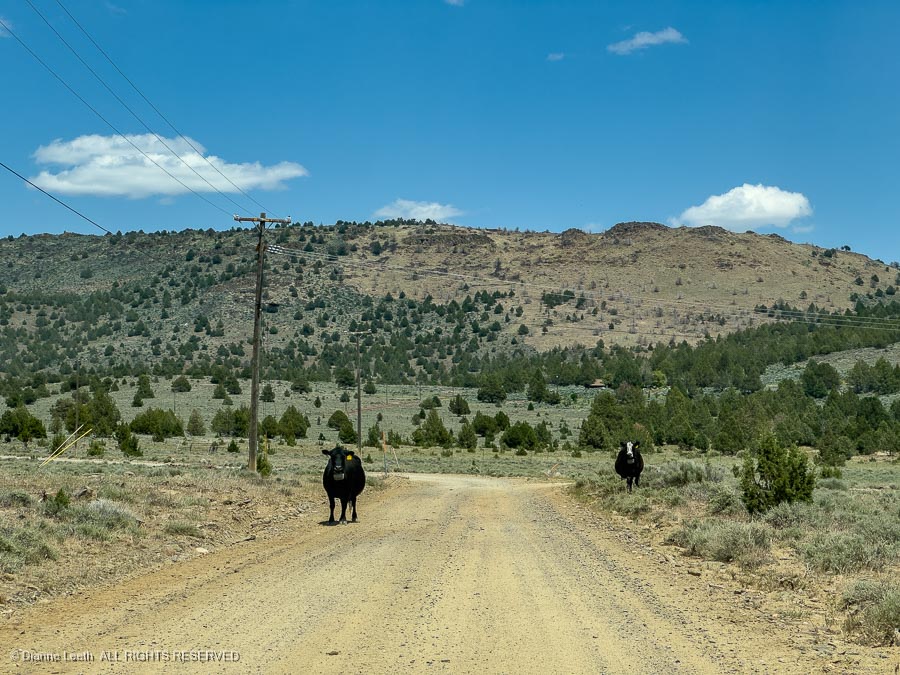
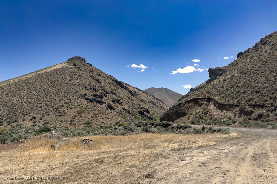
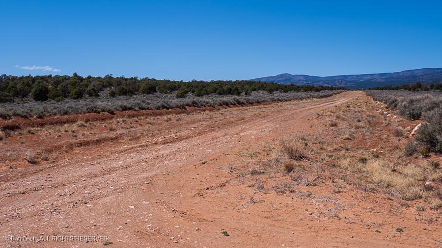
A few miles back up the highway, we came to a side road that would take us to another highway that bypassed the closure. It required negotiating 27-miles of graded-dirt, county road – ideal Subaru wilderness country.
A local rancher driving by assured us that the road was in good condition and would take us to where we wanted to be.
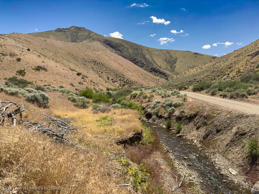
We passed a pair of locals walking along the road…
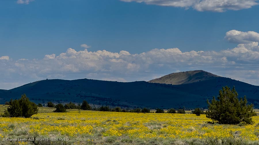
…and saw seas of yellow flowers painting the ground.
It took nearly an hour to cover all 27 miles, but we eventually reached pavement and were on our way into Nevada…
We arrived at the in-law’s house around 6:30 for a delightful (but short) visit.
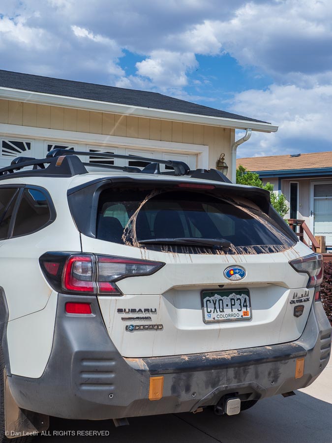
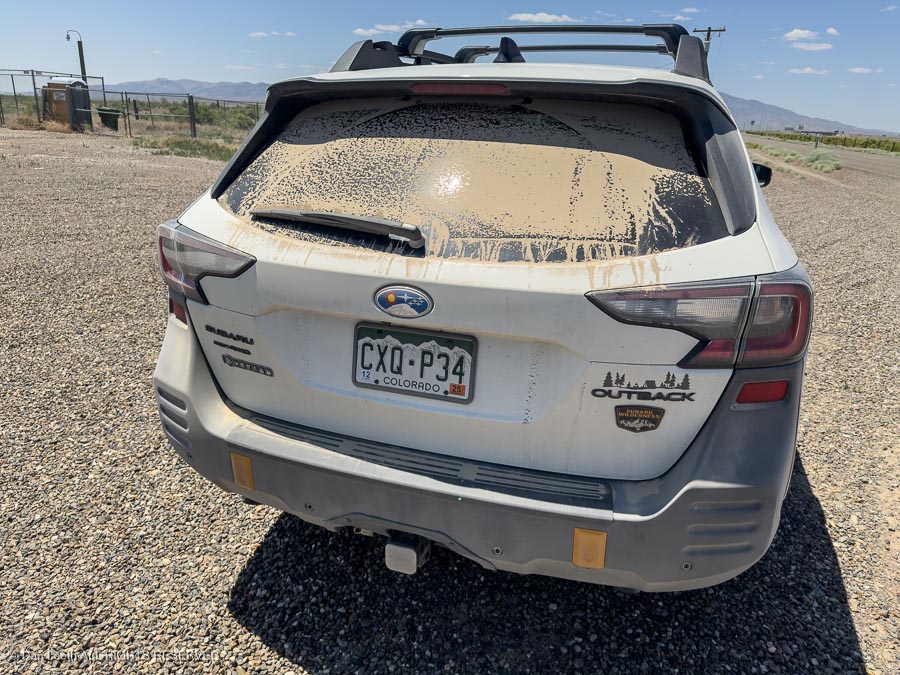
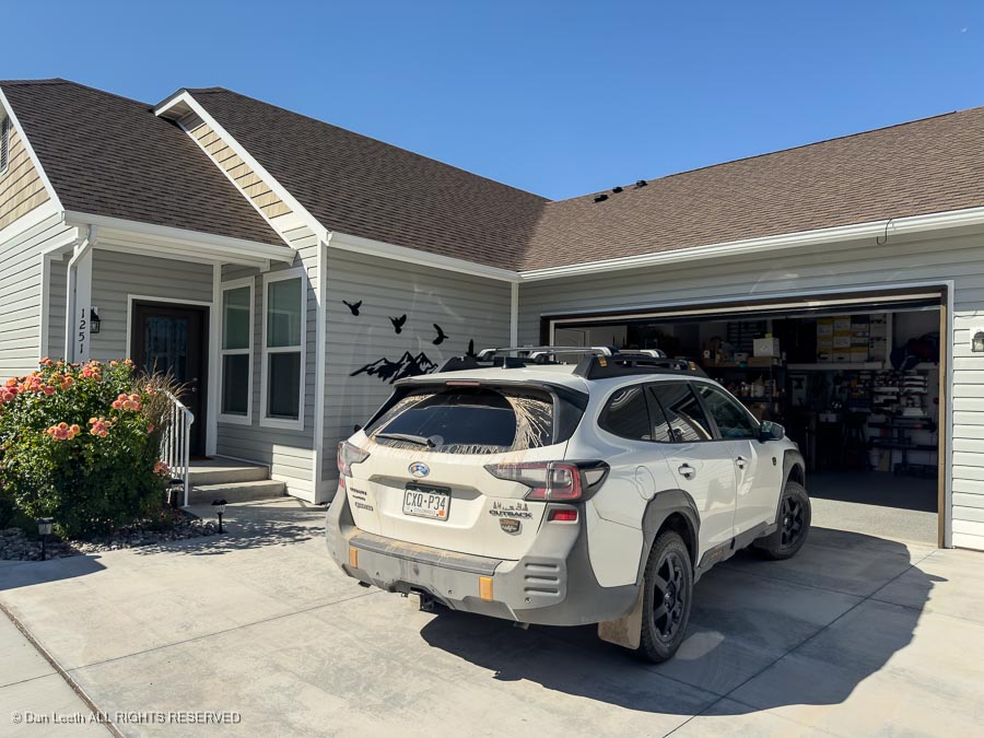
That was Thursday. On Friday, I took the Subie into the local dealer to have the blinker fluid changed. Some dealers wash the car when you bring it in for service, but not this one.
Subie still proudly wears some of the dirt from her 27-mile detour.
Dianne wanted to spend extra time with her parents, so I drove home solo. I enjoyed two days on the road alone, covering around 800 miles and not once hearing about what I was doing wrong.
[Correction: At one point, I did drive across a parking lot without fastening my seat belt and like a good wife, the Subie warning buzzer screamed at me.]
When I booked a motel for the drive, I found it was far cheaper to book a room in Wells, Nevada, off I-80 rather than a room in Ely along U.S. 40, my preferred route.
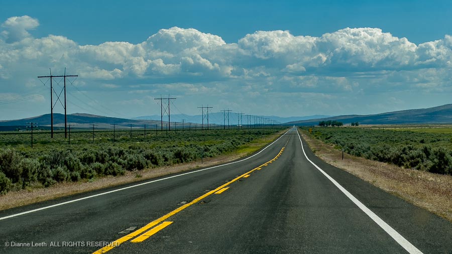
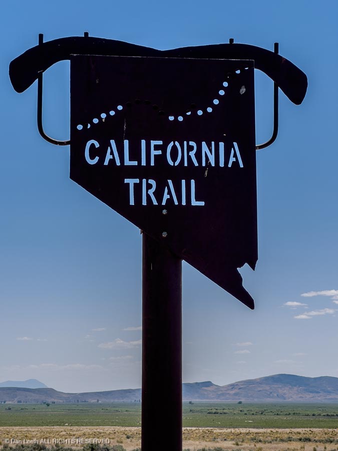
Advertised as the California Trail, I-80 is fast (75-80 mph) and offers lots of rest areas, but the scenery is only slightly less boring than driving across Kansas.
It’s largely mountain-studded, empty desert covered with sagebrush (Nevada state tree). I had an ex-girlfriend who loved this terrain. It didn’t take long for her to become an EX-girlfriend.
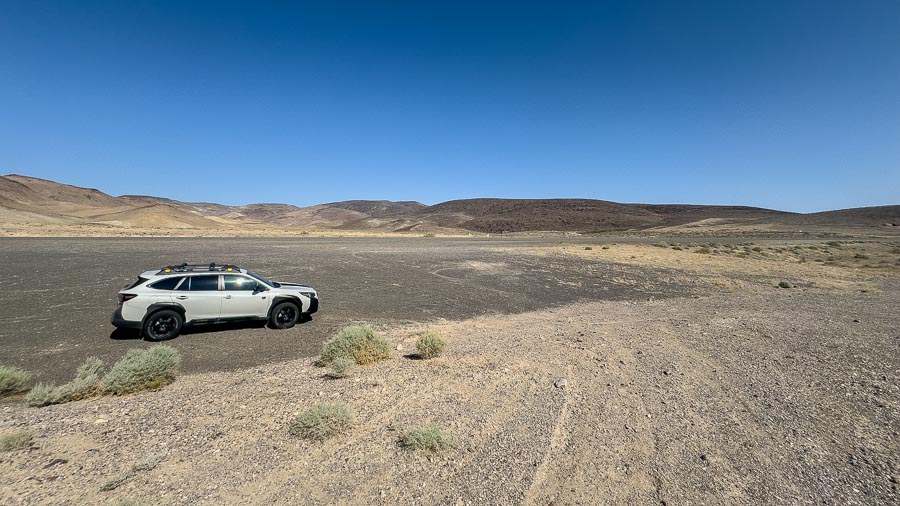
I was making good time across the state and it looked as if I’d arrive at the motel way ahead of normal check in time. I studied at my trusty AAA map for options and found a backroad south of Battle Mountain, Nevada, that supposedly led to two ghost towns. The Subaru was eager to get off the highway, so I decided to check them out.
We didn’t find the alleged ghost towns, but we did find some pretty hillsides and the Subie was thrilled to get to wear…
…a fresh coating of desert dirt.
I bunked for the night in a Super 8 motel, and for breakfast, I headed over to what passes in America as a Tim Hortons. [If you’ve been to Canada, you know what I’m talking about.] I bought coffee and fruit (yes, an apple fritter is fruit) for breakfast.
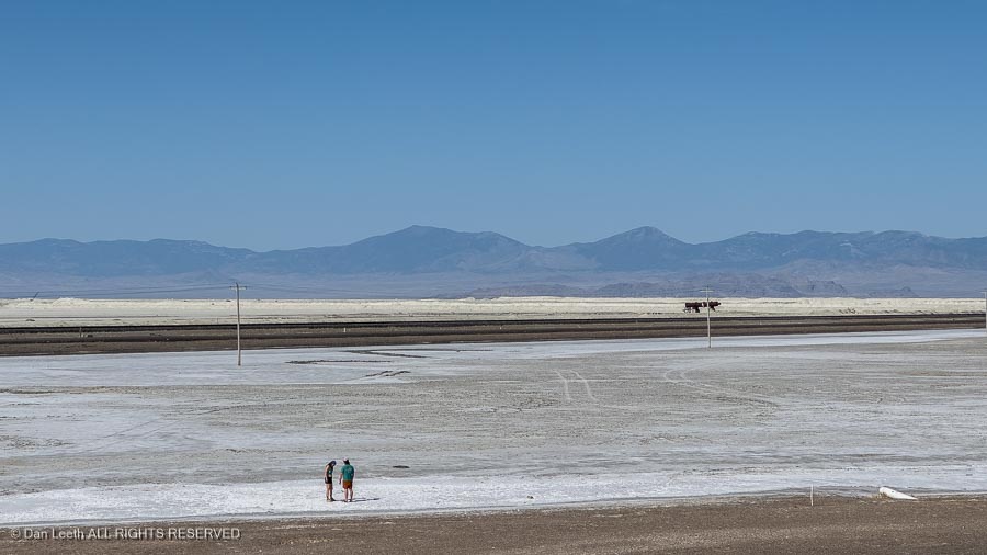
Subie and I entered Utah, drove past the Bonneville Salt Flats…
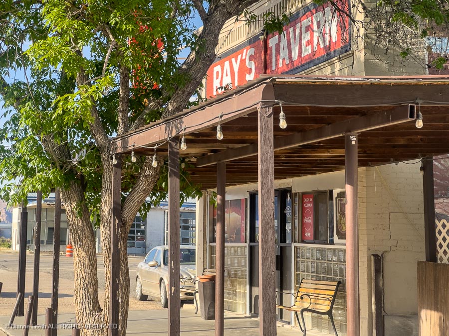
…and worked our way through Salt Lake City during Sunday, bumper-to-bumper, rush hour traffic. We were eventually on our way south to Green River, where, of course, I stopped for lunch at Ray’s Tavern.
Ninety miles later, I arrived at our home in Fruita and unloaded.
In all, we drove over 4,300 miles through nine states and two provinces [or ten states and no provinces for you MAGA believers]. It cost a few coins, but as my friend Don points out, nobody has ever seen an armored car following a hearse. We had a good time, saw some interesting territory and now have 22 bottles of prime Canadian wine to savor over the long, hot Grand Valley summer.
Unfortunately, I suspect Dianne will want the car washed.
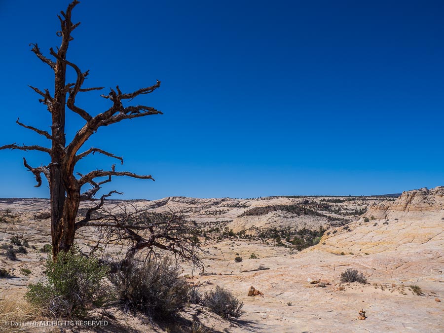
We’re off on a Colorado Mountain Club (CMC) trip to the slickrock country around Escalante, Utah.
The trip began with a three-night stay at the James M. Robb Colorado River State Park in Fruita where we dewinterized the trailer and did a few necessary repairs. From there, we headed 90 miles west to Green River, Utah, where we spent the night at our favorite site in Green River State Park.
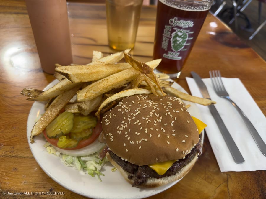
Of course, we headed to Ray’s for burgers and brews that evening.
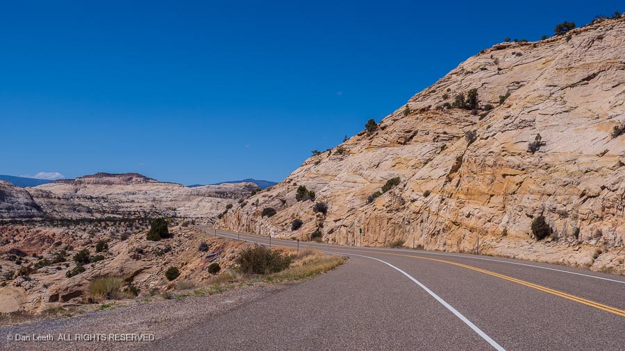
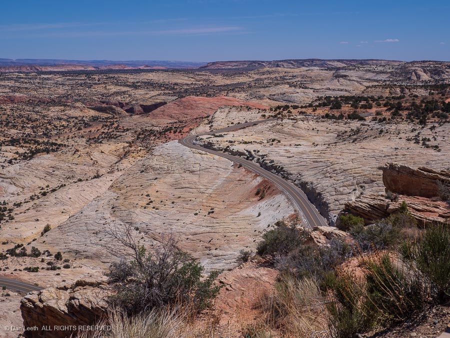
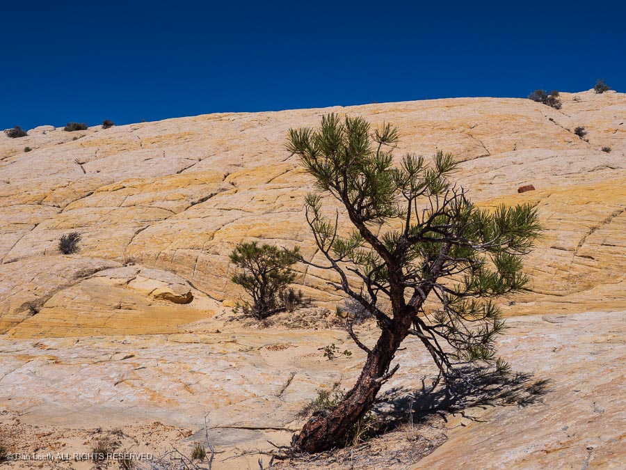
From there, it was off to Escalante on a route that took us over the mountains…
…and into canyon country.
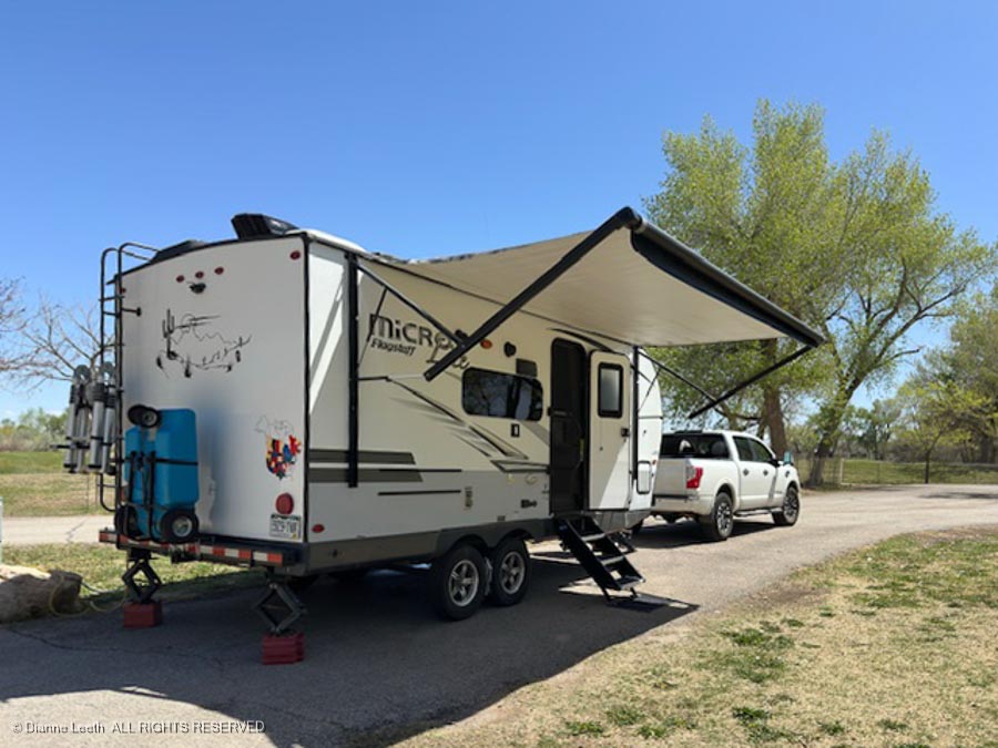
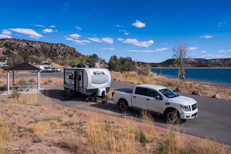
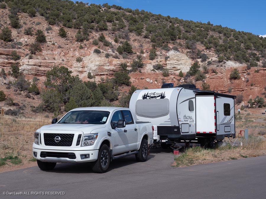
Our campsite for five nights is in the new, full-hookup loop at Escalante Petrified Forest State Park. We have a nice pull-through site across from Wide Hollow Reservoir.
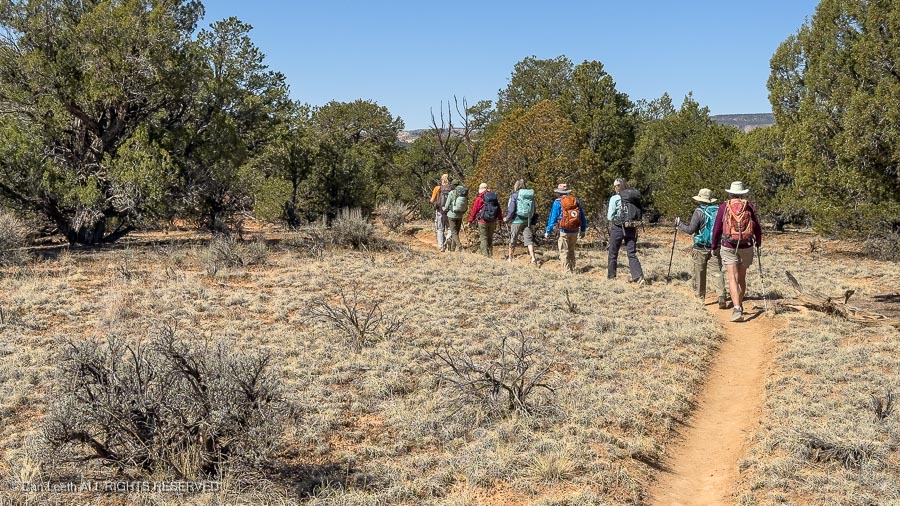
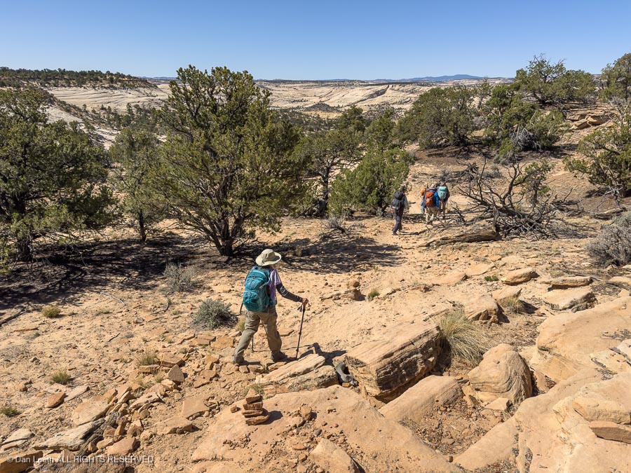
As it was in Arizona, the winds blew. Instead of enduring the night bunked out in a tent, here we remained snug and warm inside our trailer. Tomorrow we will head out for the first of three days of hiking with the CMC through Utah’s slickrock country.
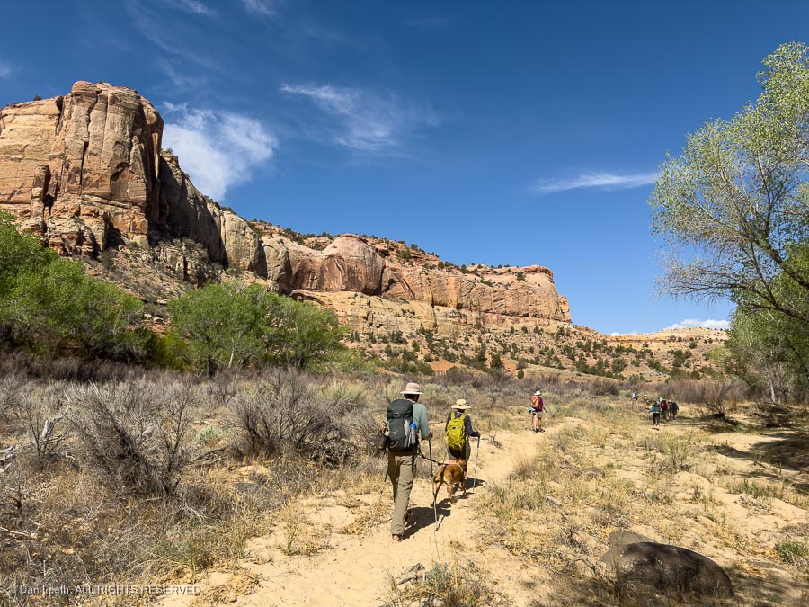
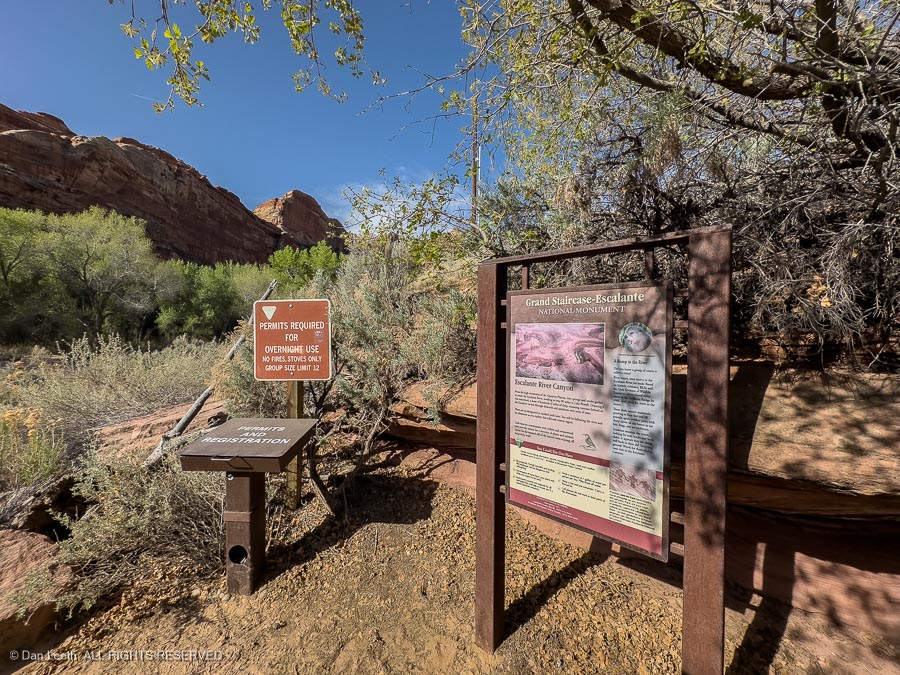
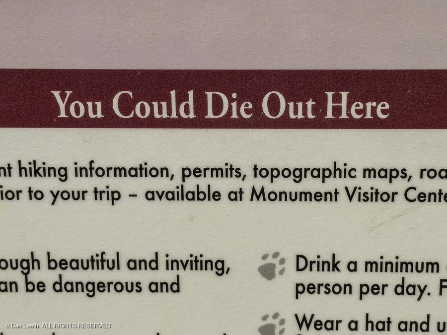
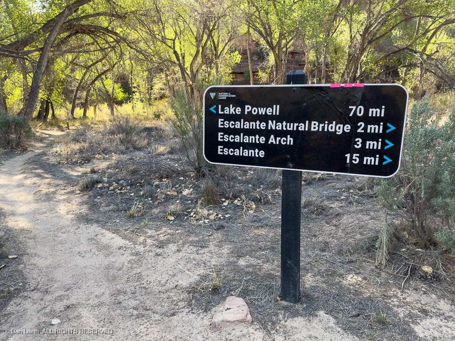
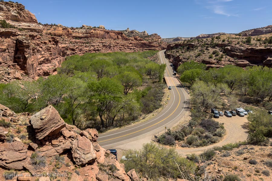
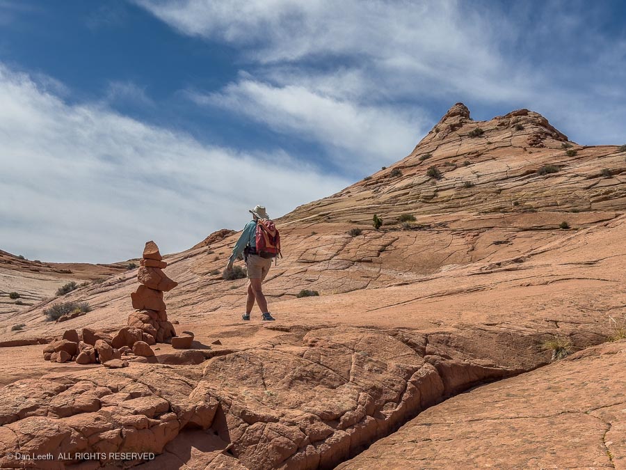
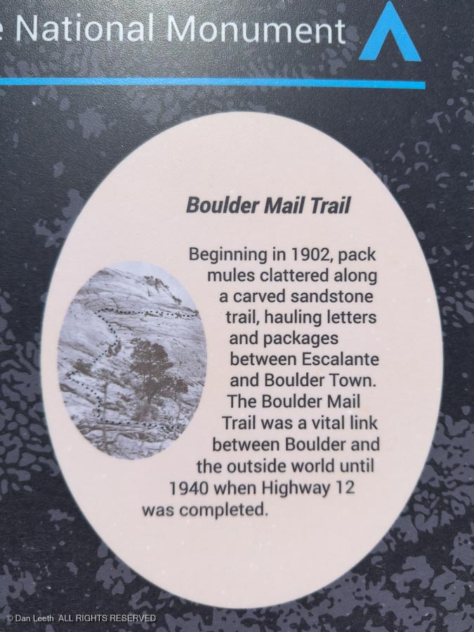
Our first day’s hike was up the Escalante River to the creatively named Escalante Natural Bridge and Escalante Arch. Our hike began where Utah Highway 12 crosses the river north of town.
A sign at the trailhead issued an ominous warning.
I guess that’s fair. Choose the wrong path and a three-mile walk to the arch could be a 70-mile endurance run to Powell Reservoir. Cheating death, we took the route to the right.
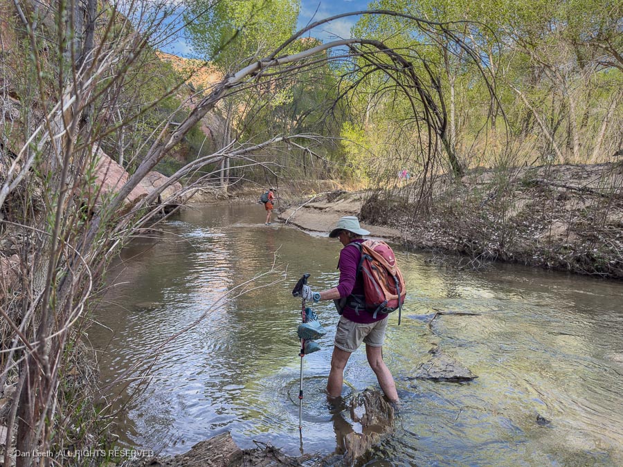
The trail to the natural bridge and arch required wading across the Escalante River several times. The first crossing came just a couple hundred yards from the trailhead.
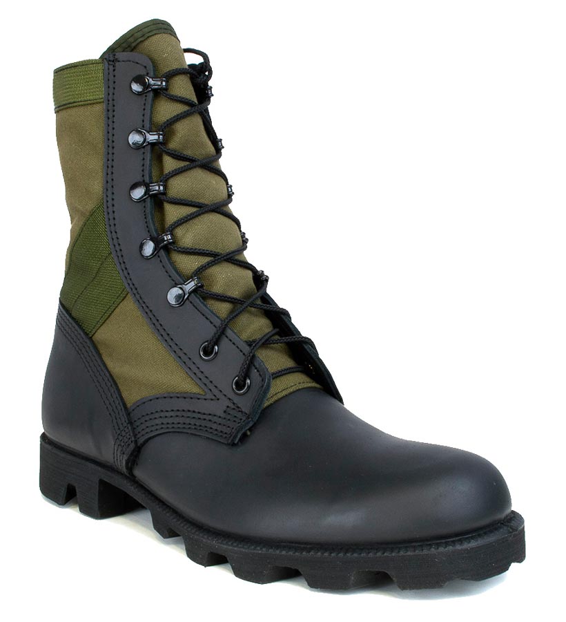
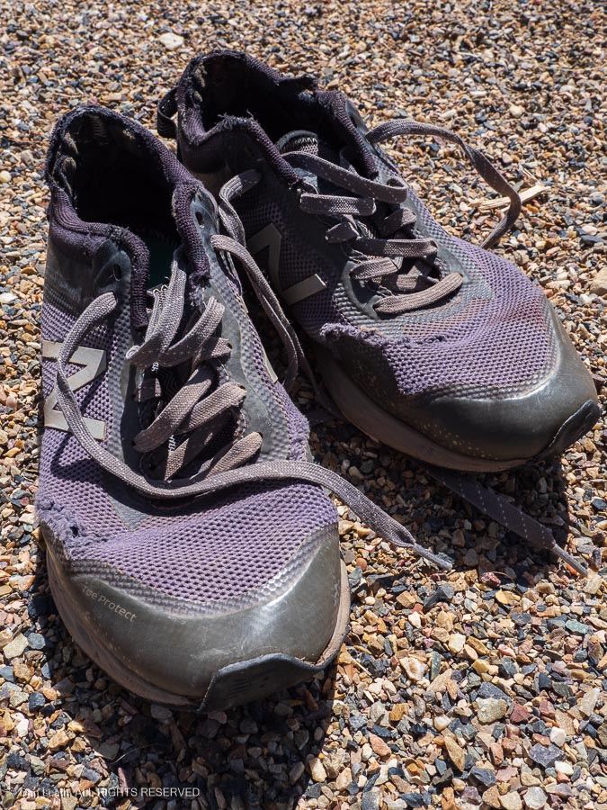
Back in the old days, we wore army-surplus Vietnam-era jungle boots (“Cong Stompers”) when hiking down canyon rivers. They had lug soles and screen-covered openings in the bottom to let water out.
Here, we had to resort to old, ratty pairs of sand-collecting tennie-runners.
After a few more river crossings…
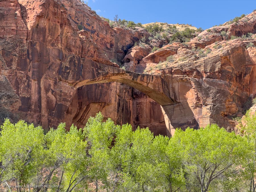
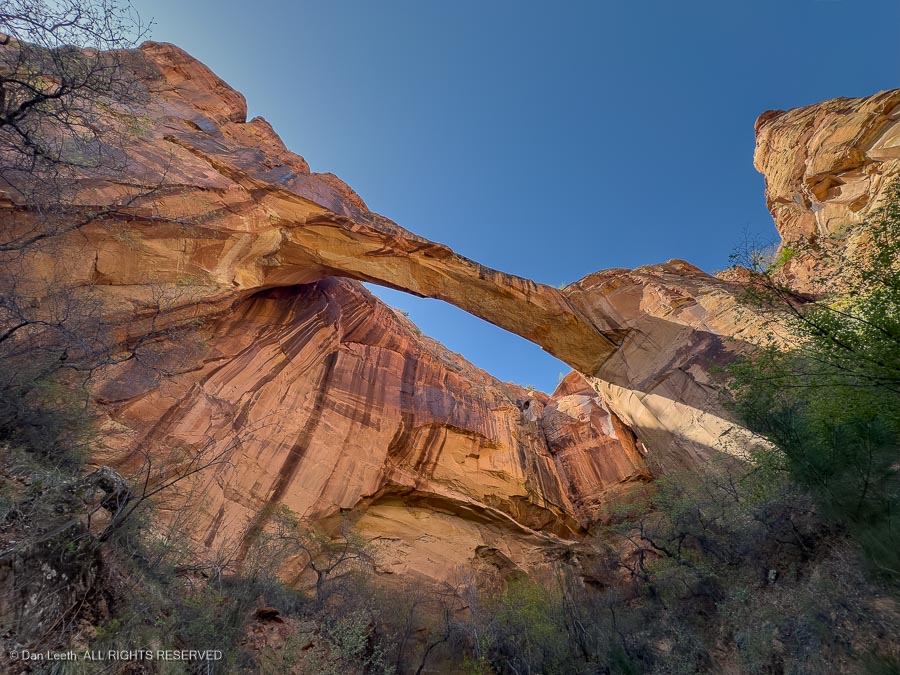
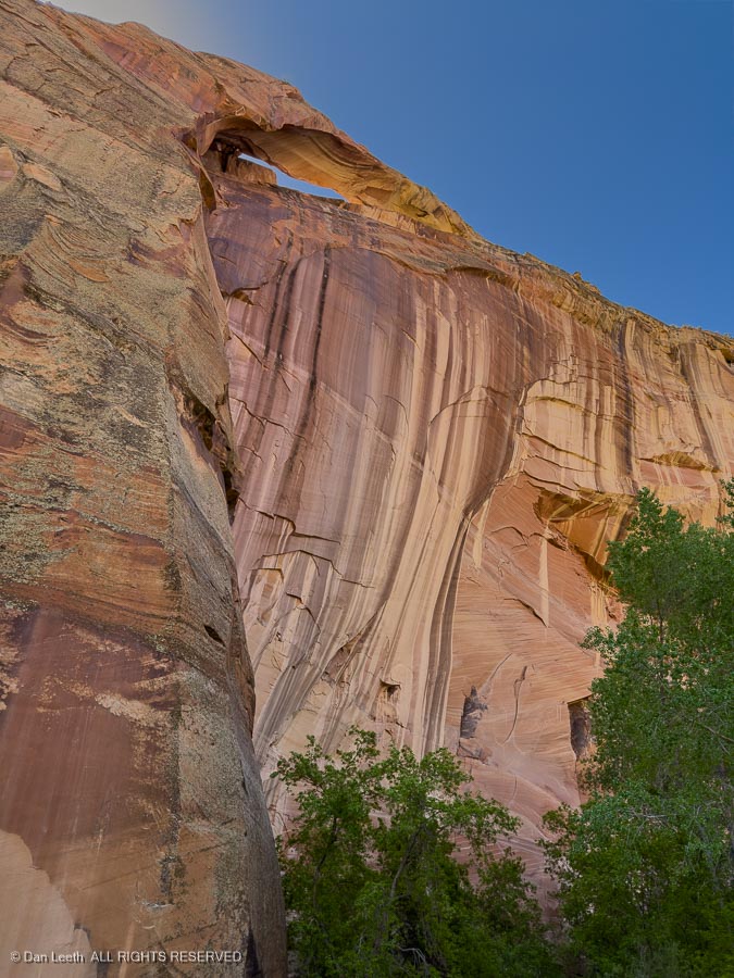
…we reached the natural bridge. Blending into the cliffs behind, it was a bit hard to spot from a distance…
…but was spectacular when viewed up close.
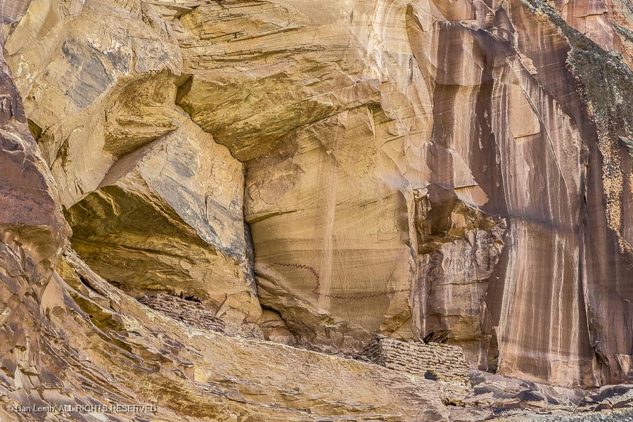
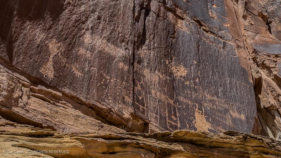
Farther up the canyon, we spotted some ancient Anasazi granaries high on a cliff…
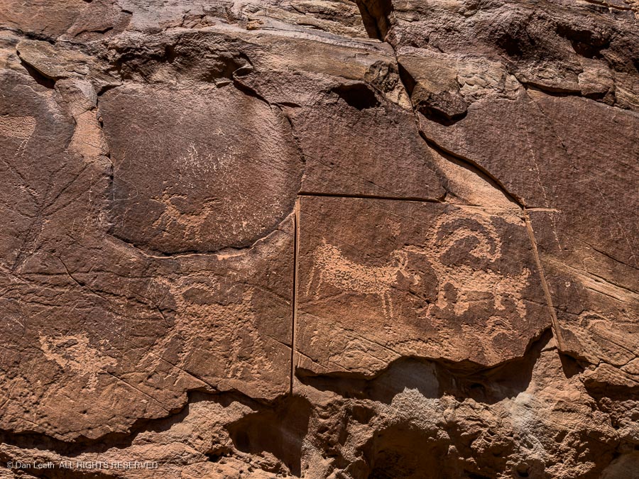
…with Indian rock art gracing the cliffs below.
A short distance beyond stood Escalante Arch, our turnaround point.
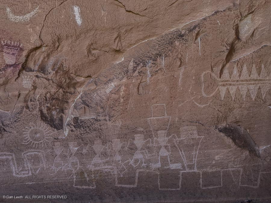
Returning to the trailhead, we took a short hike up the nearby cliffs to more ancient Indian rock art. At the first site, someone had apparently tried to cut out and remove a section of the artwork.
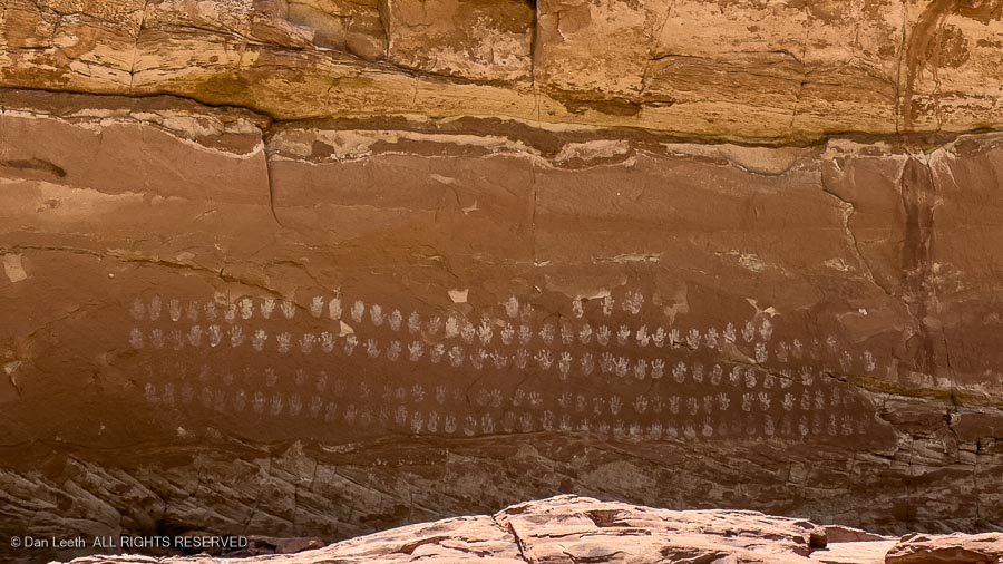
Fortunately, the 100 hands pictograph panel (no, I didn’t count them) located a short distance away remained intact…
…as did the petroglyph panel that stood beyond.
Then it was back to the trailhead parking lot for the drive back to camp.
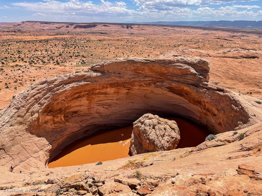
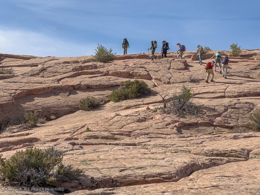
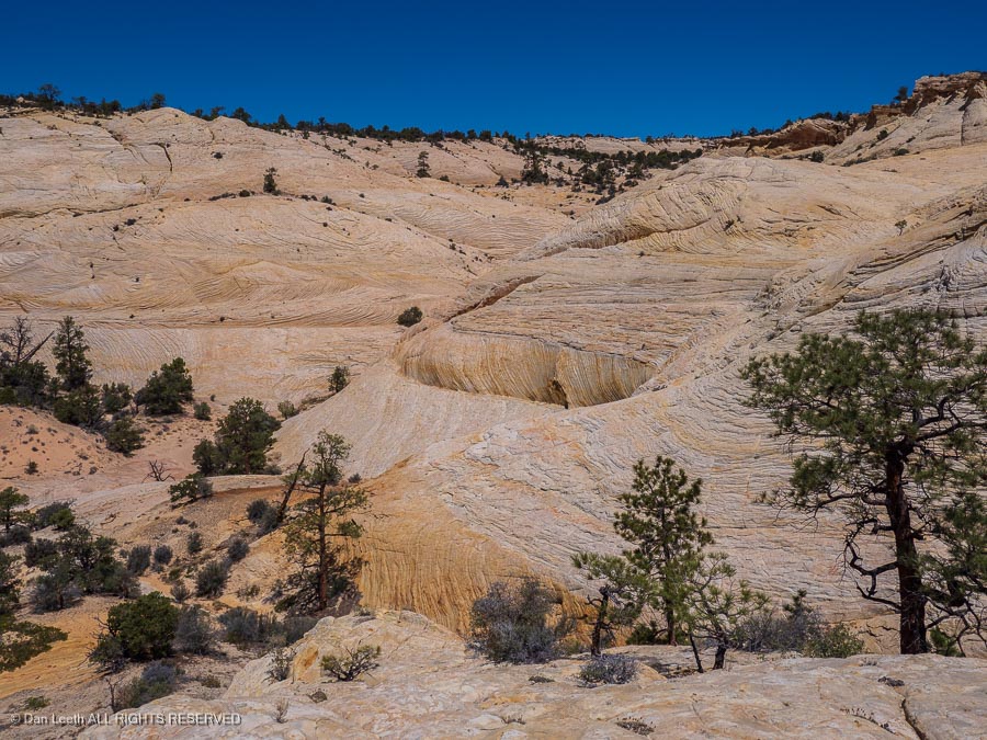
The next day would offer a return trip to the Cosmic Ashtray, a feature we had first visited two years ago. On that trip, we only saw it from the cliffs looking down. This time, we would view it from the bottom up.
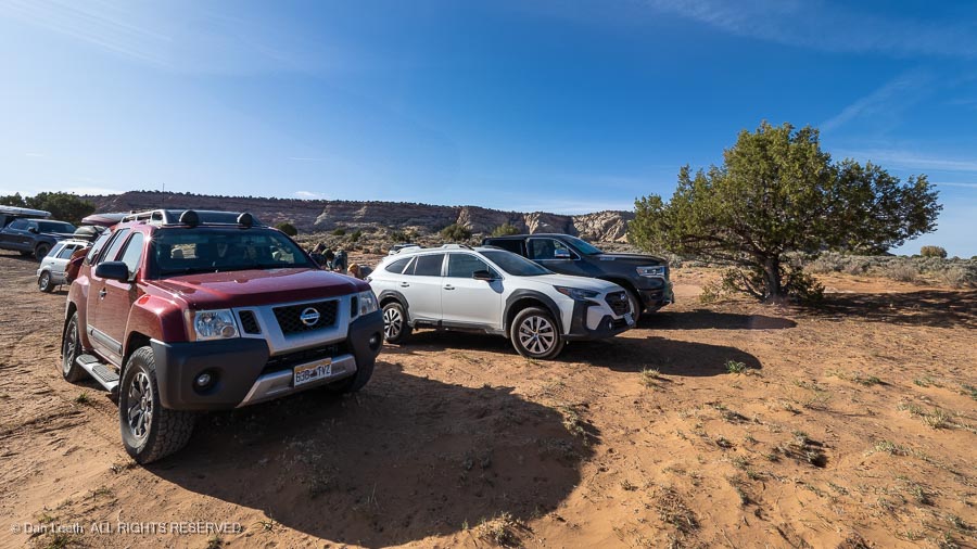
Getting to the ashtray requires driving down a few miles of semi-graded road to a trailhead.
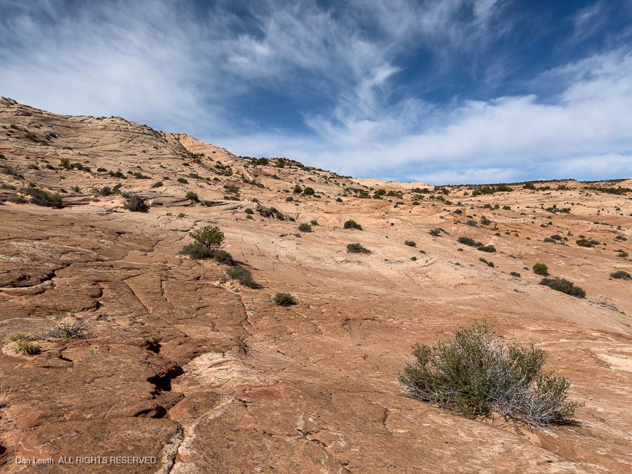
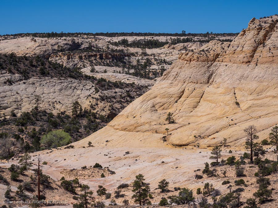
From there, it’s four miles of hiking through deep sand and up and down sandstone ridges (and more sandstone ridges).
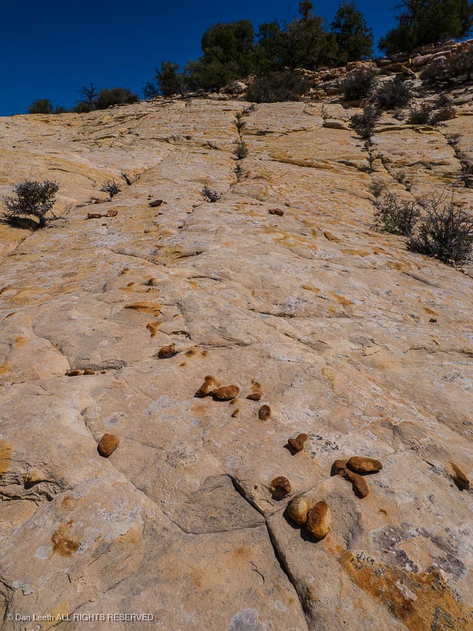
The trail was marked with cairns, making it semi-easy to follow…
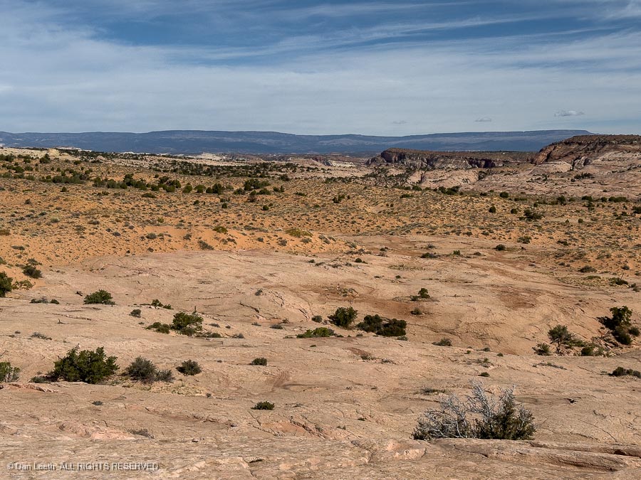
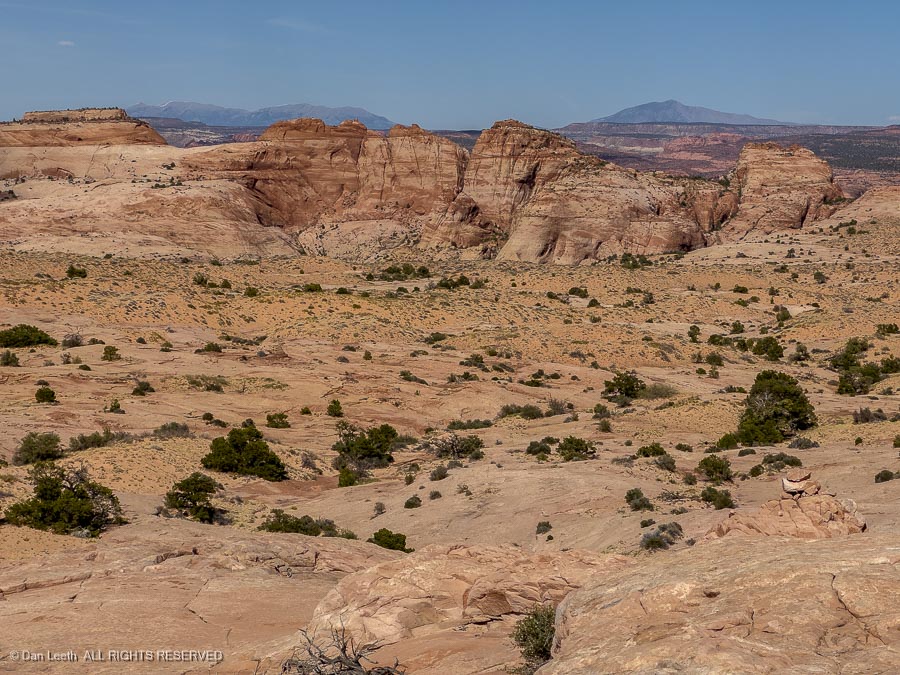
…and the views across miles of emptiness were stunning.
It took three hours for us to cover four miles…
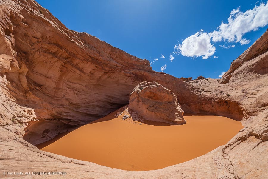
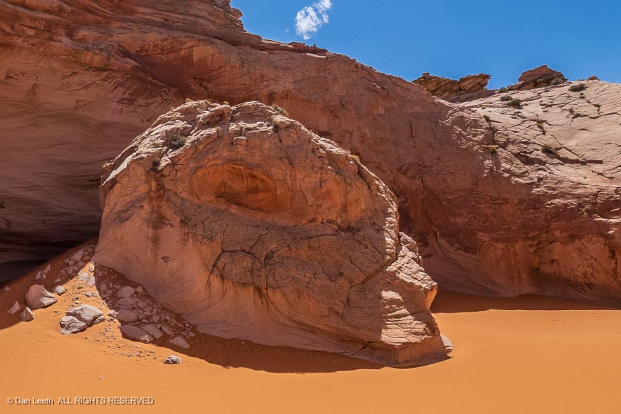
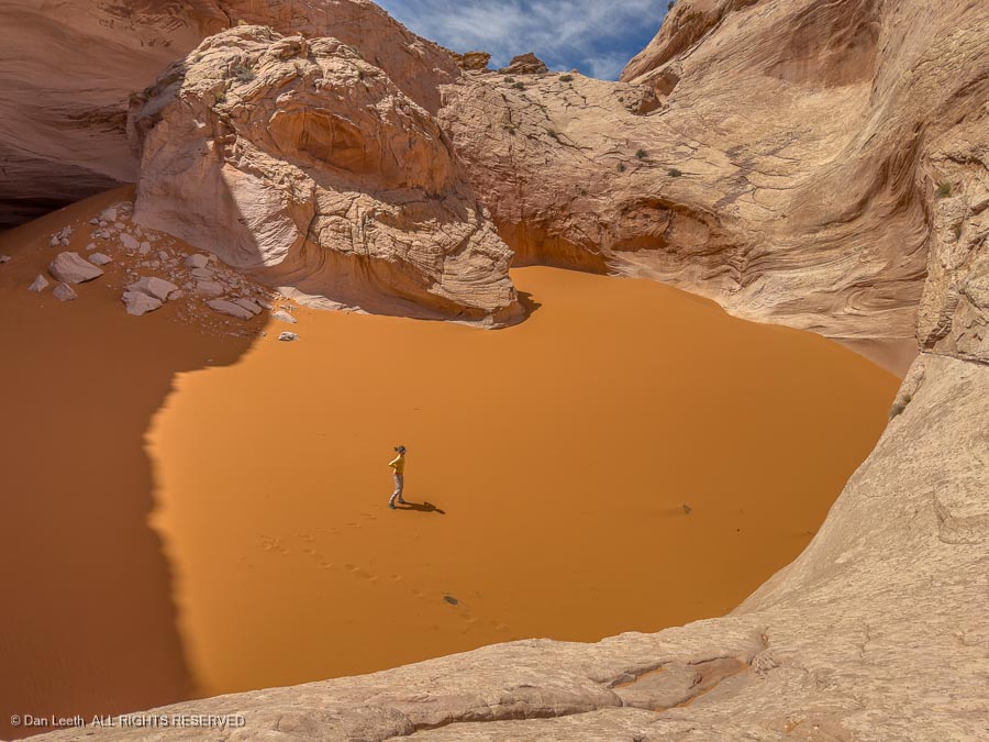
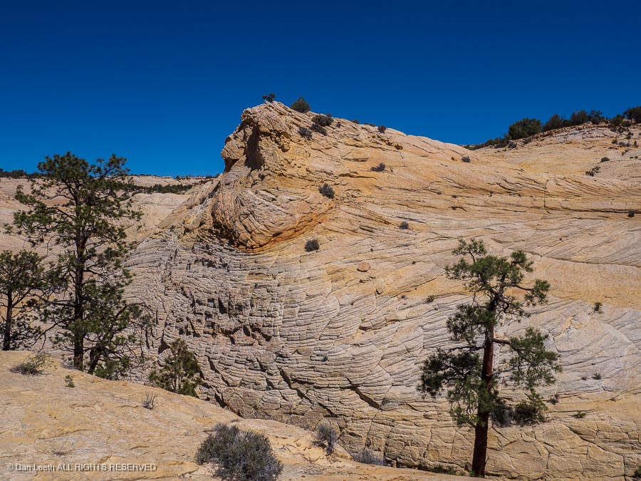
…but we finally arrived at the lip of the Cosmic Ashtray — a huge, circular depression in the sandstone that has become partially filled with sand.
The pit, we discovered, is guarded by this cosmic figure.
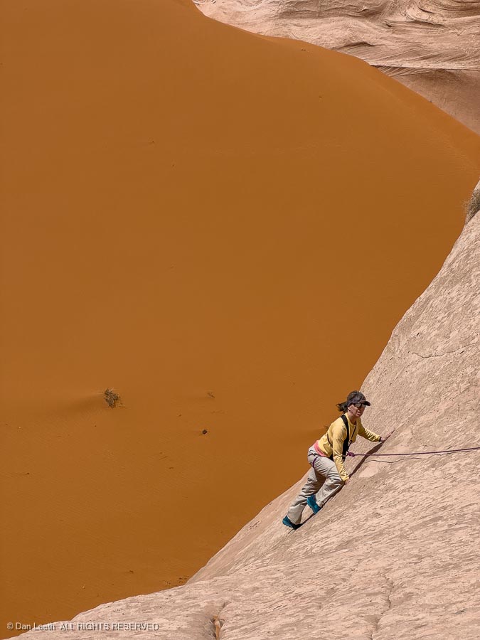
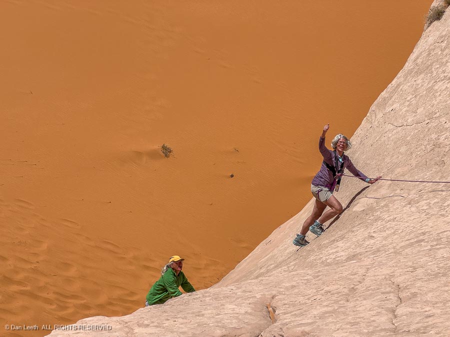
Since we are the Colorado Mountain Club, our leader brought along 50 meters of climbing rope to belay us into the depths of the tray. Anne, our Western Slope group leader, was the first to descend…
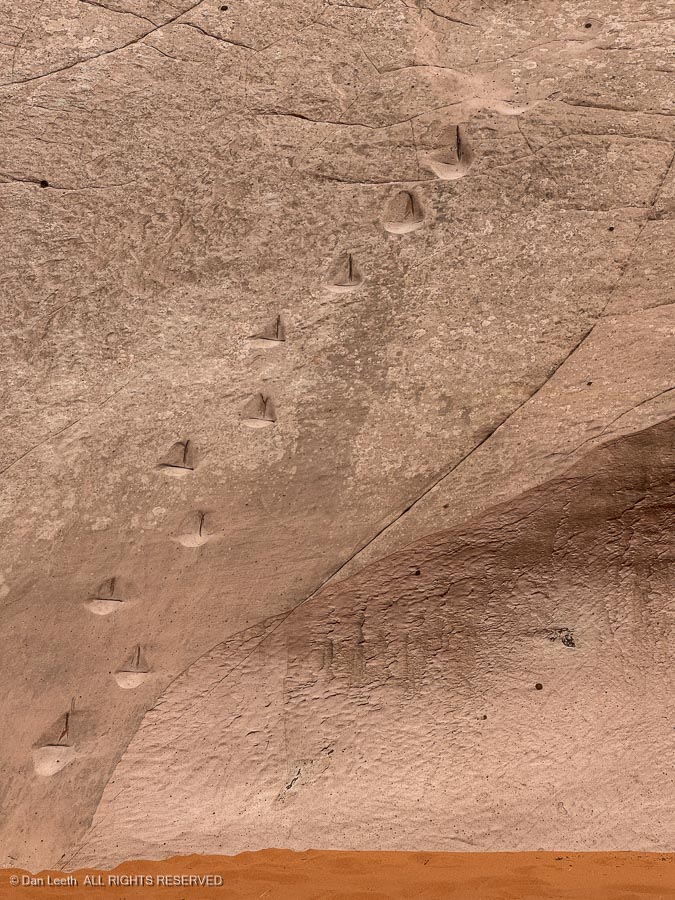
…down the moki steps some past visitor cut into the rock. While they may look big, they’re not.
Looking down on our leader at the bottom, one can appreciate the size of this ashtray.
One by one, most of us made it to the bottom, including my lovely wife.
From the bottom, one realizes that the floor of the crater is actually just one big sand dune and with the wind blowing, it was a gritty experience.
All too soon, it was time to head back, reversing our route over hill and sand. Remarkably, the trail to and from the ashtray proved to be uphill both ways. Although the route proved to be a bit arduous, one member of the group observed that the hike to and from the ashtray was still more fun than a colonoscopy.
Back in town, Dianne and I went straight to Escalante Outfitters for pizza and beer.