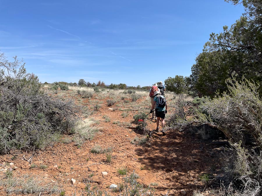
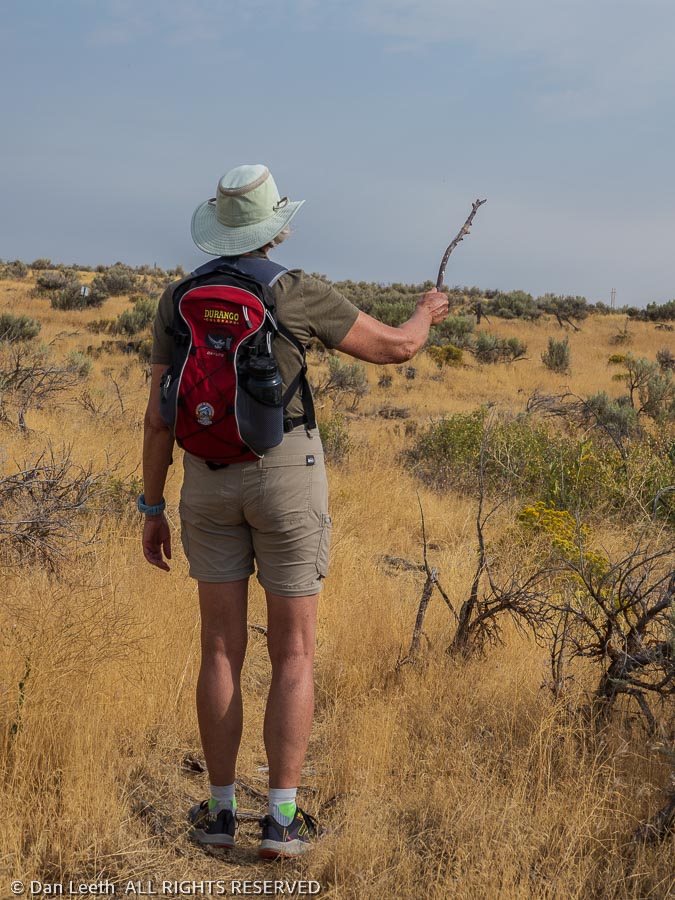
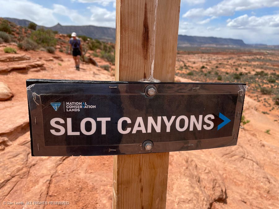
On Friday, we headed out with our friends, Brett and Paula, to do a loop hike through a pair of narrow, “slot” canyons.
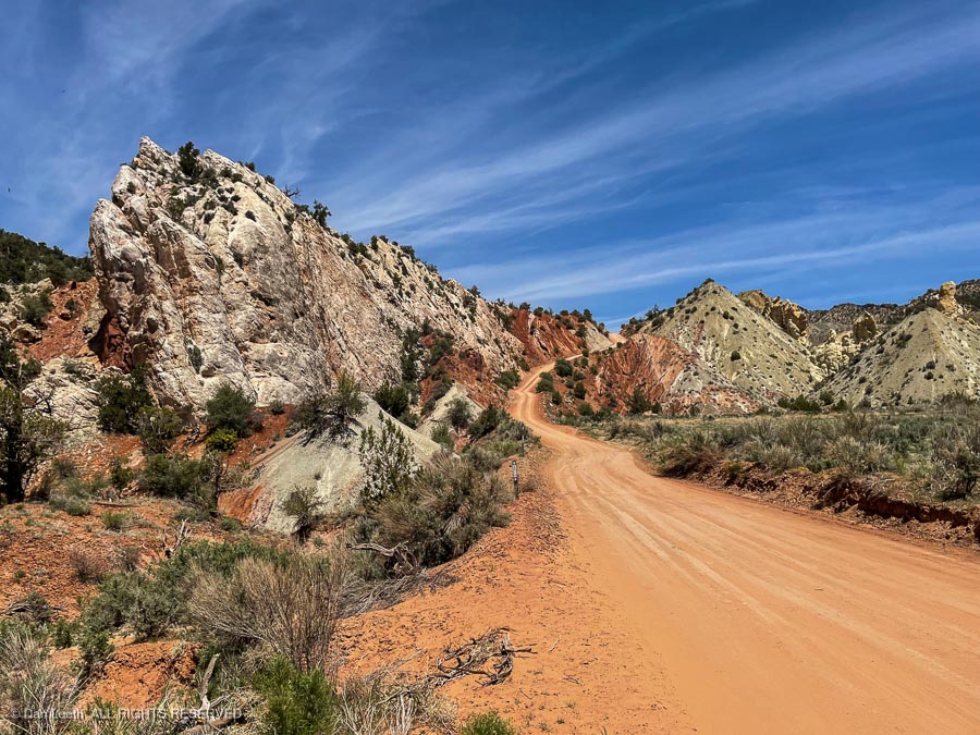
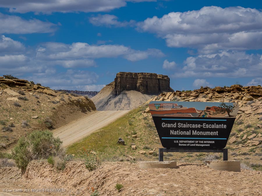
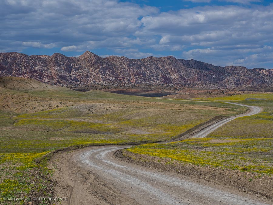
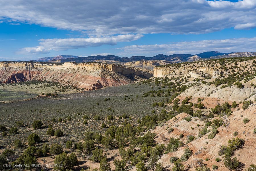
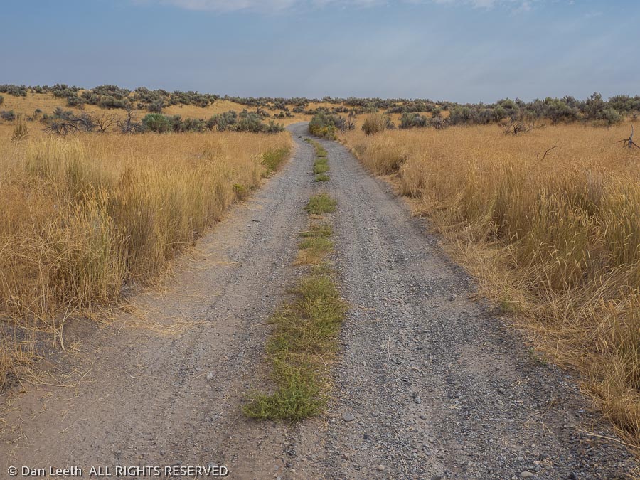
The route to the trailhead took us down the Hole in the Rock Road, which follows the 1879 route of a band of Mormon settlers sent to establish a settlement in what is now southeastern Utah. While it was just a pleasant wagon track for the settlers, we were treated to a graded roadway with washboards as high as the average speed bump but far closer together.
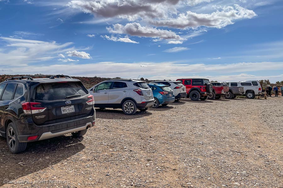
At the trailhead, cars displaying license plates from across the country filled the parking lot. We would not be alone playing in the slots.
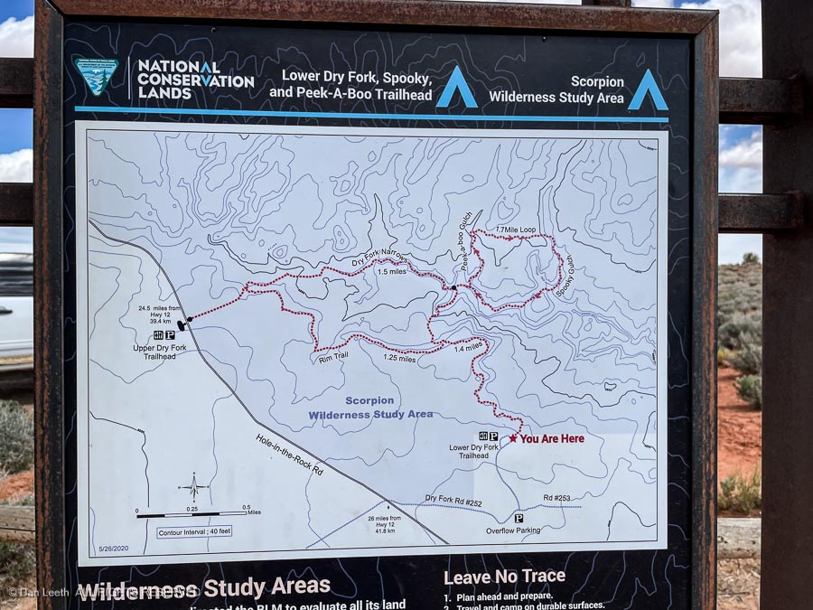
Our goal was to hike up Peek-a-Boo Gulch, cross overland to the head of Spooky Gulch and descend back through it.
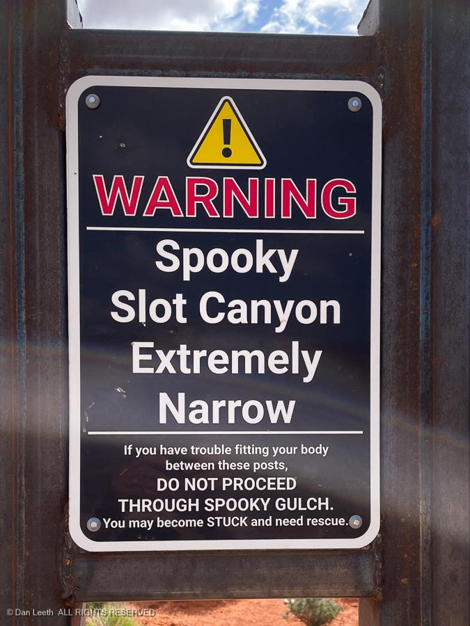
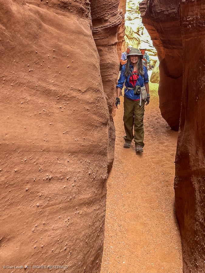
A sign warned us about the narrowness of Spooky.
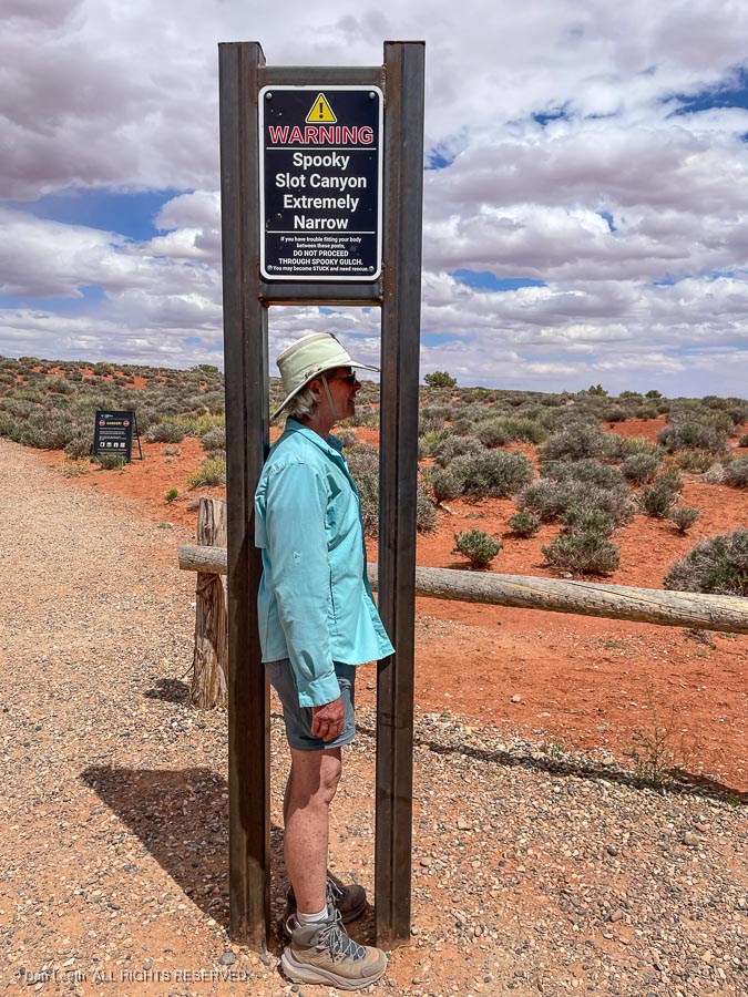
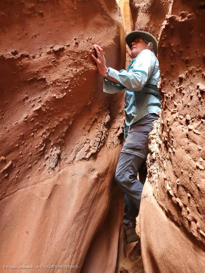
We tested it out. While Dianne’s body fit through, we were worried about her hat.
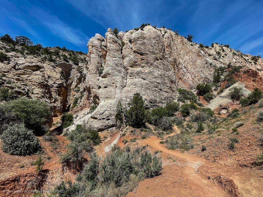
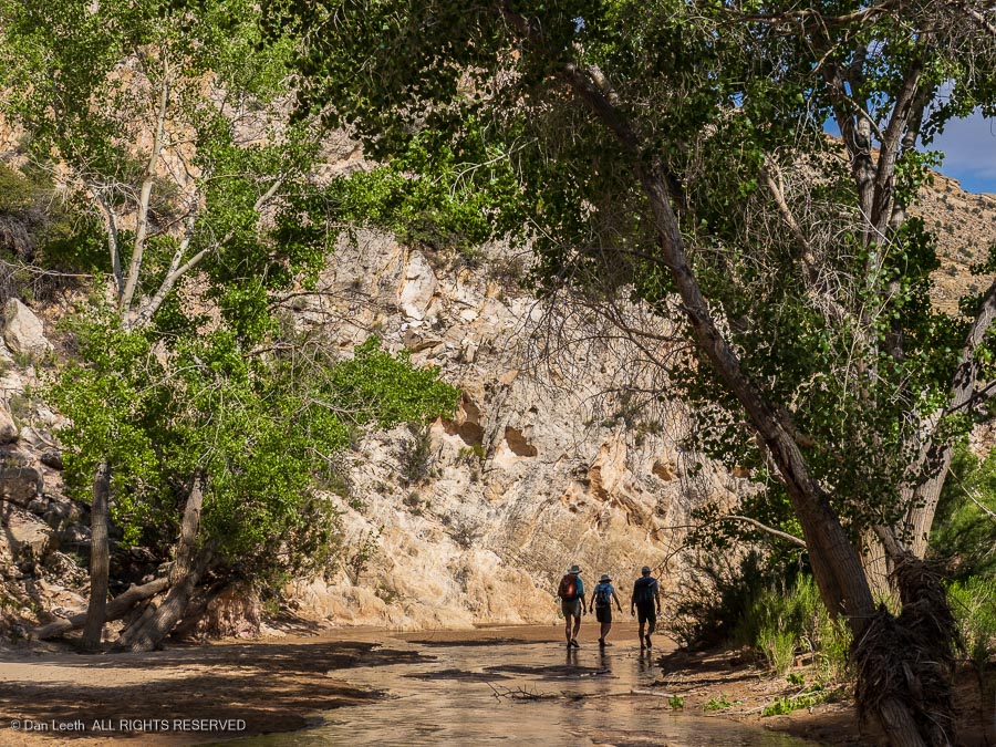
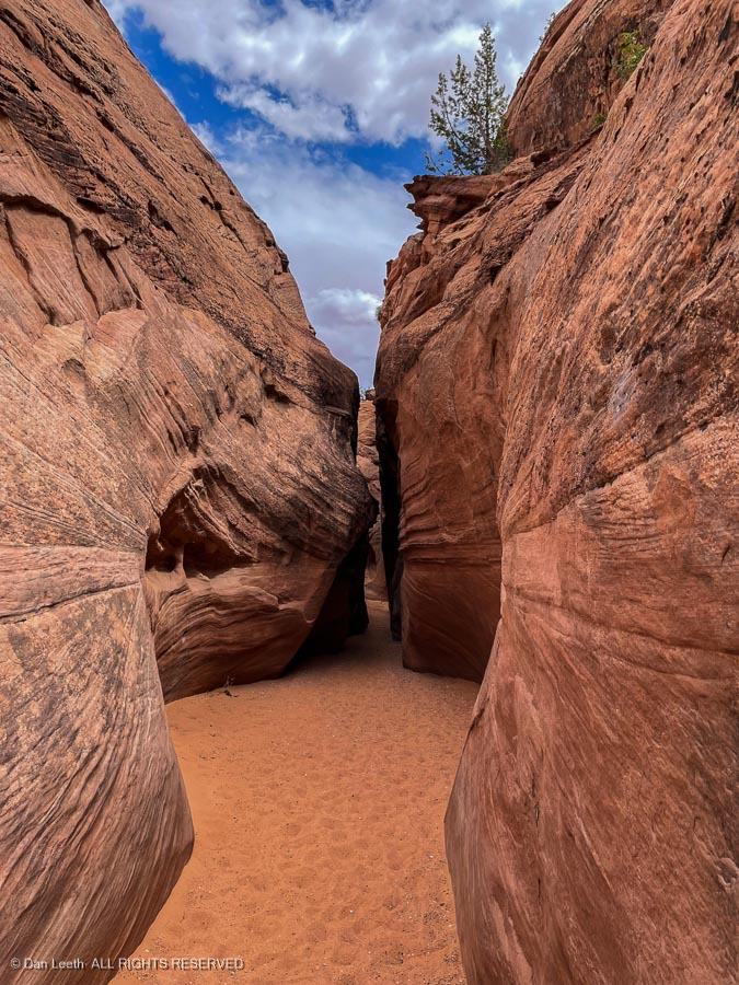
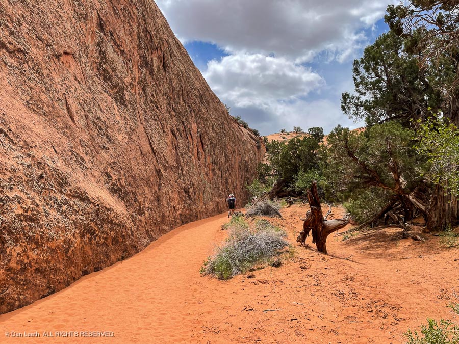
The two slot canyons feed into the Dry Fork of Coyote Gulch. Our first obstacle involved sidestepping down the slickrock to get to it.
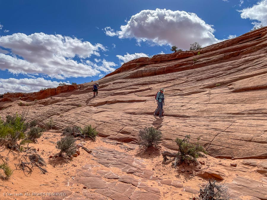
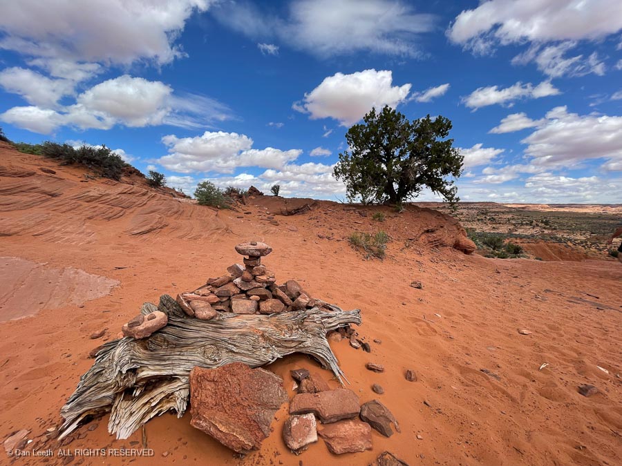
Fortunately, the route was well marked with cairns.
Entering the mouth of Peek-a-Boo Gulch requires ascending a steep chute of slick slickrock. A pile of rocks at the bottom helps one get a foot onto the lower Moki step someone had chiseled long ago into the rock. We watched as another hiker struggled up.
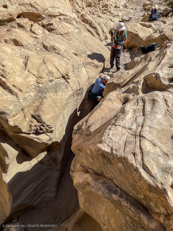
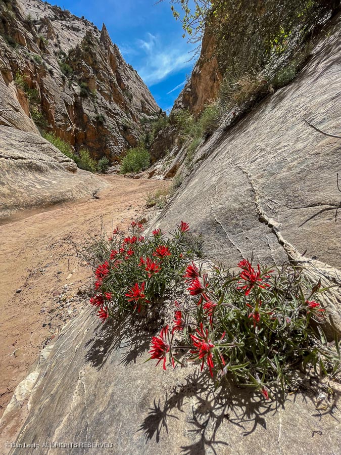
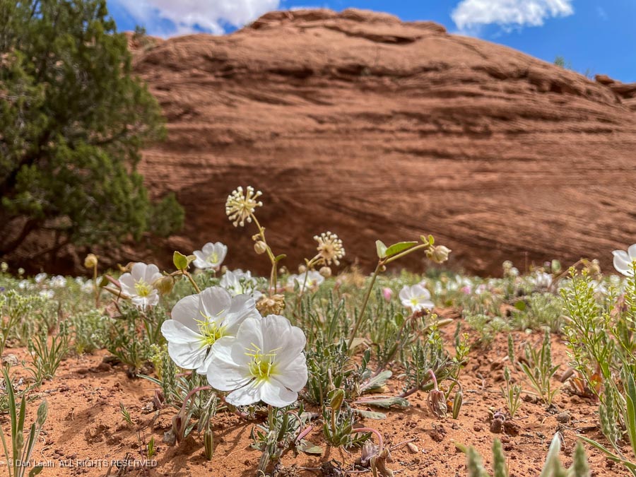
When we found out that from there, we would need to wade through knee-deep, canyon-bottom potholes of icy water, we decided to skip Peek-a-Boo and go directly to Spooky, which we would hike from the bottom up. Along the way, we passed a sandy bench covered with evening primrose blossoms.
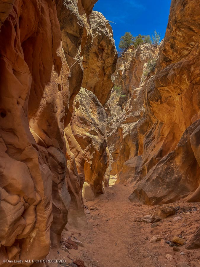
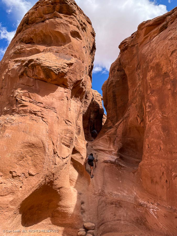
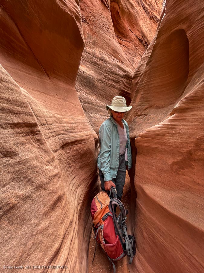
We reached the mouth of Spooky and began heading up.
It wasn’t too bad at first…
…but that changed in a hurry.
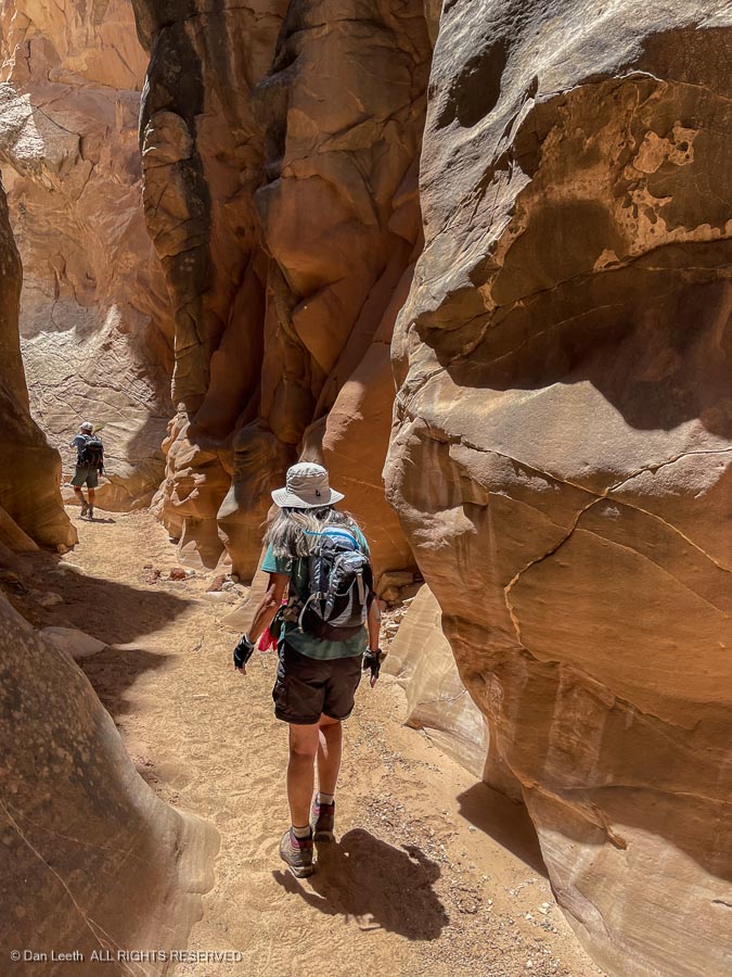
It soon got worse…
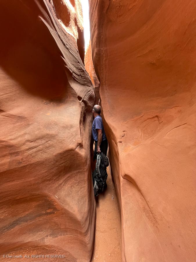
…and worse.
The hike wouldn’t have been bad if all the traffic traveled in the same direction, but that wasn’t the case. While we were hiking up, others were coming down, and passing each other in a slot canyon narrower than potholes in a Colorado highway was a pain. One by one our group turned around, exited Spooky and hiked back to the car.
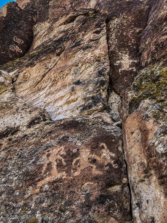
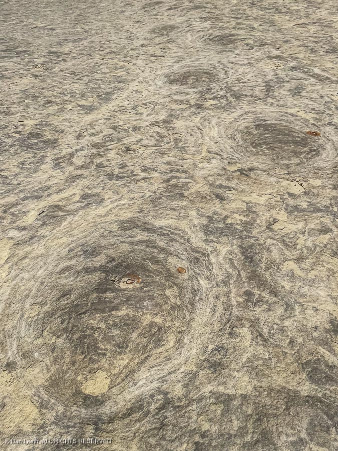
On the drive back to the campground, we detoured off the washboard road to track down some dinosaur trackways located up on a sandstone bench…
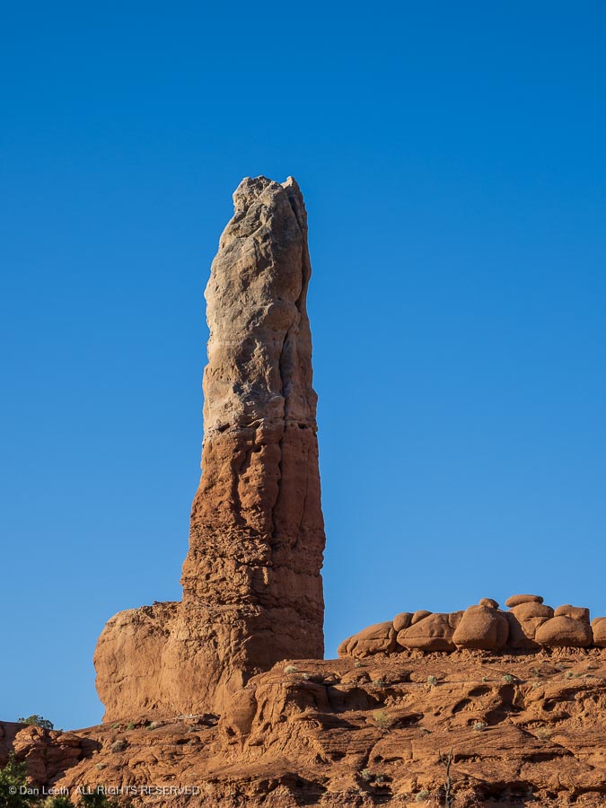
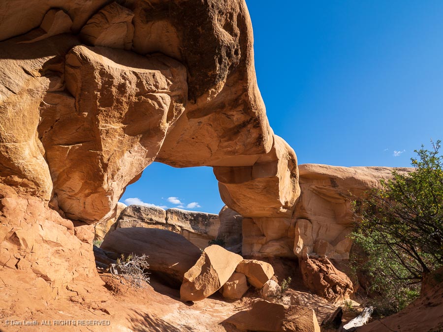
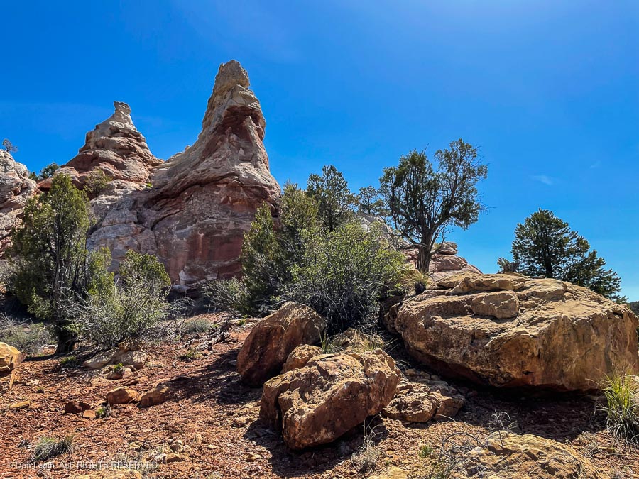
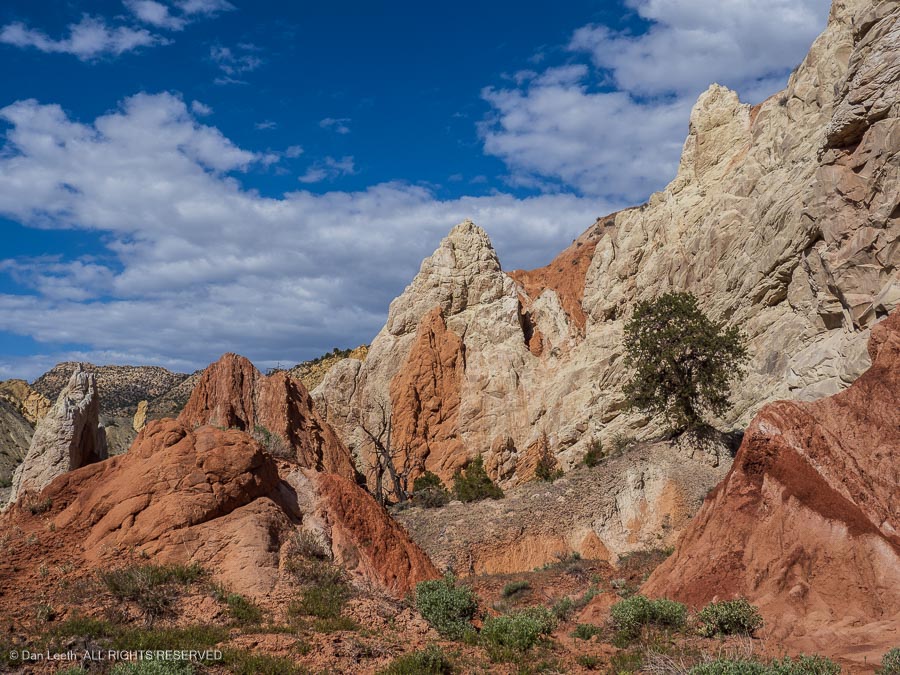
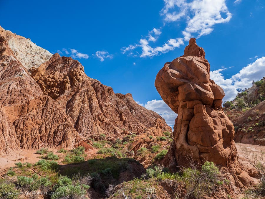
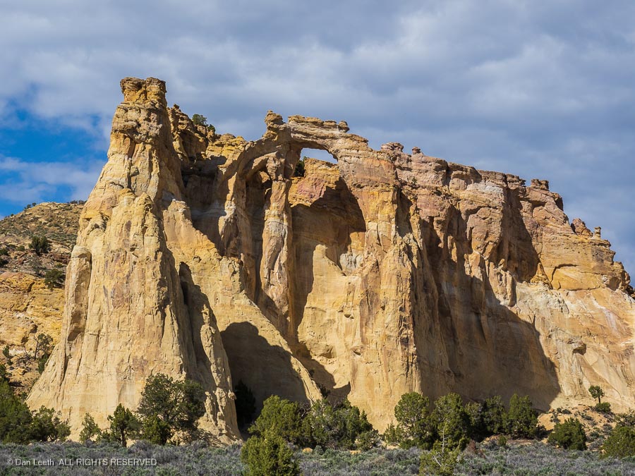
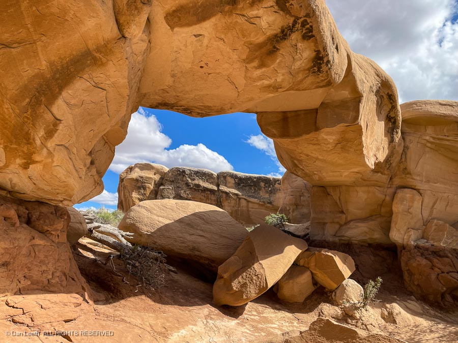
…followed by a stop at some photogenic rock formations in a place known as the Devil’s Garden.
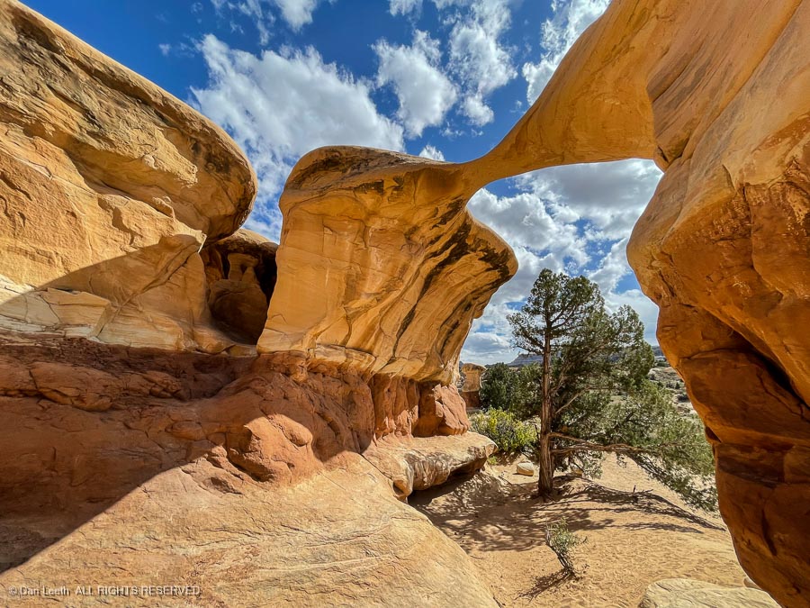
“Why is it always named after the Devil?” Dianne pondered.
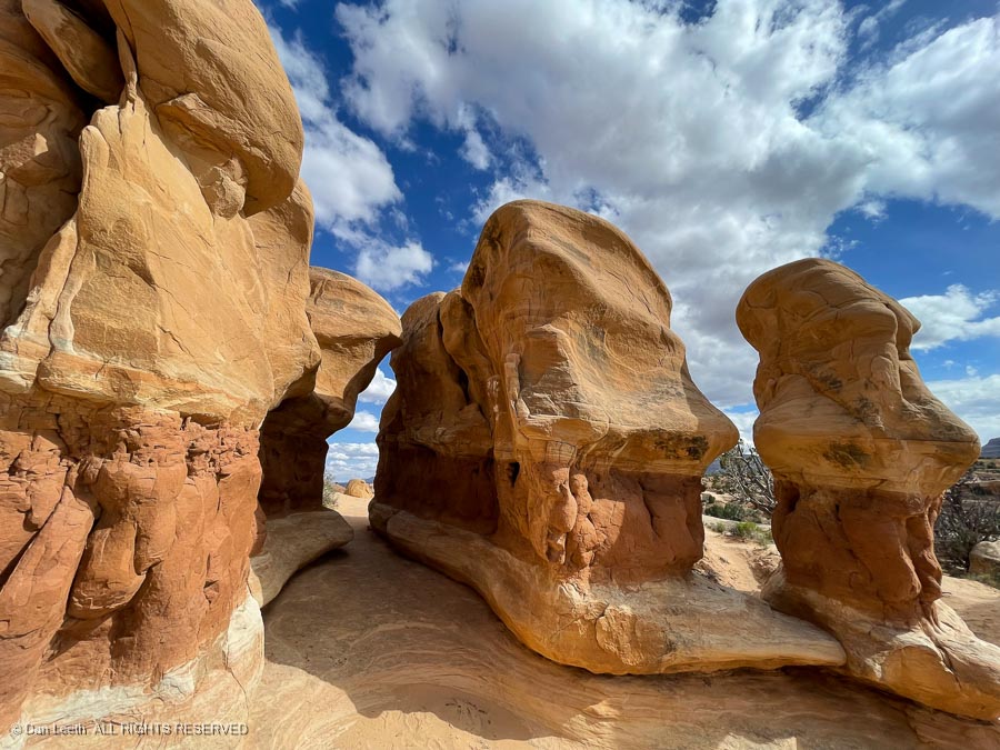
“Why not name it the Angel’s Garden?”
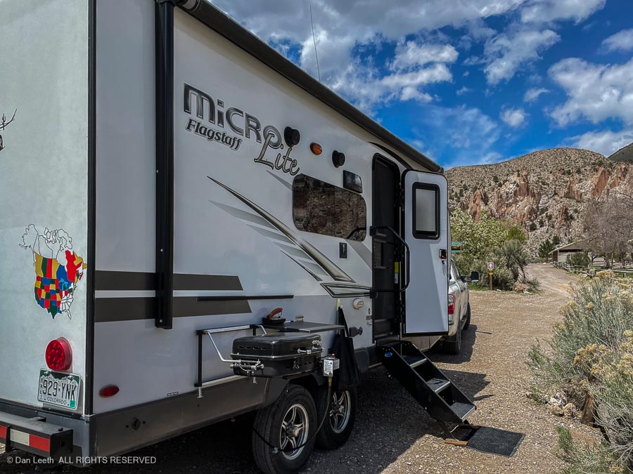
Back in town, we tried to celebrate Cinco de Mayo with a nice Mexican dinner. Let’s just say that while Escalante may be named for an 18th century Spanish priest, it does not abound in indoor Mexican eateries.