Arizona’s Superstition Mountains Lie Laced with the Legends of Lost Lodes

            It was my first ever hike.  I was nine years old when my father’s friend, Scotty, invited us to join him on a trek into the Superstition Mountains, a rugged jumble of bluffs, buttes, crags, cliffs and canyons rising 35 miles east of Phoenix.  Naturally, I wore my Roy Rogers cowboy boots.  Six blisters later, I realized why Roy rode and seldom walked.  Only Scotty’s tales of treasure kept me going.

            As every Arizona kid of my era knew, the Superstitions held the Lost Dutchman Mine, and Scotty was an expert on this missing treasure trove.  He led us into an area known as the Massacre Grounds where the story got its start.

            According to Scotty, the Peralta family from Mexico opened 18 mines in the Superstitions from which they extracted gold in unbelievable quantities.  Their last foray, a procession of 400 men and 200 pack mules, came in 1847.  On their return, they were ambushed, their gold was scattered and their mines were soon covered over.  Skeletons, rotten saddlebags and $18,000 in loose, gold-veined concentrates found later in the area support the story’s accuracy.
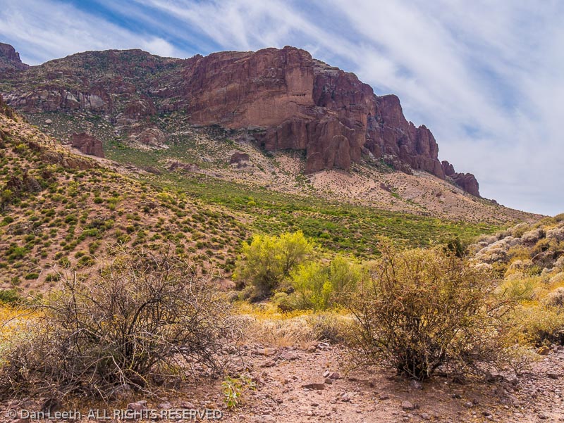
            The only thing we discovered on our adventure was an arrowhead and a shallow cave whose campfire-sooted walls stood black as a chalkboard.  Somebody spent many nights camped here.  I figured it was the Dutchman.

            As the story goes, two German prospectors, Jacob Waltz and Jacob Wieser, drifted into a small Mexican village where they rescued a man from a barroom brawl.  In gratitude, the saved señor, a Peralta relative, gave the partners a map and ultimately rights to the family’s Arizona diggings.  The two Germans headed north, and in a land so rugged that even a lizard could get lost, they found the Peralta site left uncovered.  It held, according to Waltz, an 18-inch vein of pure gold.

            “World’s richest mine,” he bragged.

            Wieser’s good fortune remained short lived.  With Waltz allegedly out buying supplies, someone murdered Wieser.  All the gold now belonged to the “Dutchman,” whose nickname either came from Deutsch, the German word for German, or his contemporaries bore a worse sense of geography than today’s sixth-graders.

            I’ve logged hundreds of trail miles in the Superstitions since that first experience.  Today, I’m introducing my wife, Dianne, to the area.  As Scotty did for me, I’m sharing with her tales of the Dutchman and the “Dutch hunters” who followed. 
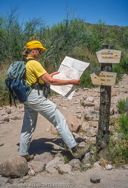
            Our springtime hike from the First Water Trailhead begins, appropriately, on a trail named for the Dutchman.  The cool morning air carries the fragrance of wildflowers.  Mourning doves coo plaintive dirges in the distance.

            Although historical records cannot confirm Wieser’s or the mine’s existence, Waltz was a very real person.  Born in Germany, he immigrated to the U.S. in 1839.  A decade later, he headed west for the California gold rush, obtaining American citizenship in Los Angeles.  He later moved to Prescott, Arizona, where he filed mining claims.

            In his snow-bearded years, Waltz settled down in Phoenix to raise chickens on a 160-acre plot near the Salt River.  The stream flooded in 1891, and Waltz spent two frigid nights in a tree before being rescued.  He contracted pneumonia from the incident. 
            Julia Thomas, a German-speaking ice-cream parlor owner, cared for the ailing Dutchman.  After eight months’ convalescence, the 81-year-old Waltz took a turn for the worse.  Prior to cashing in, the Dutchman attempted to disclose his mine’s whereabouts, but all he ended up bequeathing were vague directions and a few pounds of gold-laced rock.

              Firmly believing she could find his mine, Thomas sold her shop and rode into the Superstitions the following August.  Waltz’s deathbed instructions ultimately proved impossible to follow.  After repeated searches, Thomas did the next best thing.  She sold maps to the mine she couldn’t find.

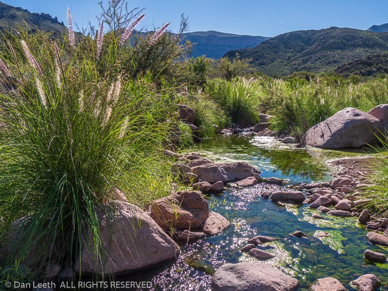
            Our trail parallels First Water Creek as it whispers through rock-lined pools.  Come summer, the creek will be deathly dry.  I know because like Julia Thomas and a slew of other Dutch hunters, I’ve hiked here in the height of heat.
            Years ago, a group of us wanted to see what it would be like to explore the wilderness when temperatures topped triple digits.  It wasn’t fun.  By the time we reached our campsite, we were sizzling like pigs at a luau.  We spent the remainder of the day simmering away beneath a cottonwood tree.

            Dianne and I cross Parker Pass and head down to Boulder Basin, an open area studded with cactus and laced with wildflowers.  A short detour up East Boulder Creek takes us to the site of Aylor’s Caballo Camp.

            Arriving from Colorado, Chuck and Peg Aylor moved into the Superstitions in 1939 hoping to find the Dutchman’s lost diggings.  They remained here until the Forest Service evicted them in the 1960s and dismantled their camp.  Although the Aylors found nothing of value, they at least left alive.  Many were not so lucky.  One of the most famous of the dearly departed was Adolph Ruth.

            A retired bureaucrat from Washington, D.C., Adolph Ruth came in 1931 with an old map his son had obtained from a Mexican diplomat.  He arrived in mid-June and immediately hired a couple of cowboys to pack him into the Superstitions.  A week later, a rancher found his camp empty.  Ruth was nowhere to be seen.

            A 45-day search ensued with no results.  Six months later, members of an archeology expedition found a skull several canyons away, which authorities confirmed was Ruth’s.  Bullet holes punctured both sides of the cranium.
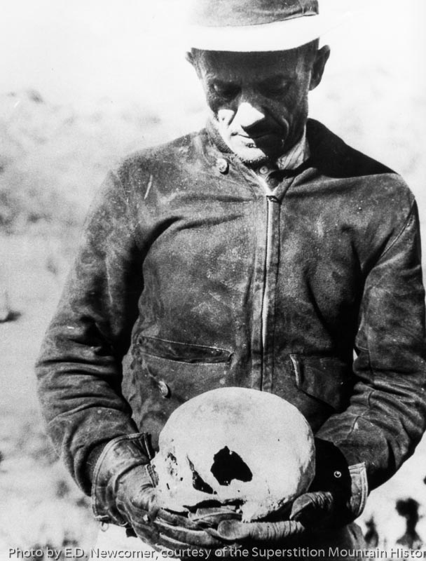
            The rest of his skeleton and personal effects turned up a half-mile away.  In one pocket was a sheet of paper on which Ruth had written “Veni, Vidi, Vici” (I came, I saw, I conquered).  His map was missing.

            Dianne and I continue our hike over Bull Pass and down into Needle Canyon.  A buzzard circles overhead, perhaps hoping that we, too, are doomed Dutch hunters.  We aim to disappoint.

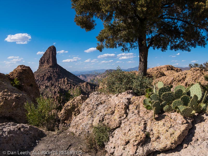
            Weavers Needle, icon of the Superstitions, towers to the south.  In the shadow of this thousand-foot-high volcanic monolith, two rival groups battled in the 1950s over lost gold, but not from a mine.  They sought a treasure allegedly stashed by priests.

             After King Carlos III evicted the Jesuits from New Spain in 1767, a missionary-led pack train supposedly entered the Superstitions with 240 heavily burdened mules.  When the convoy reemerged, the animals bore no loads.  The toted treasure, the opposing factions figured, must be hidden in these hills.
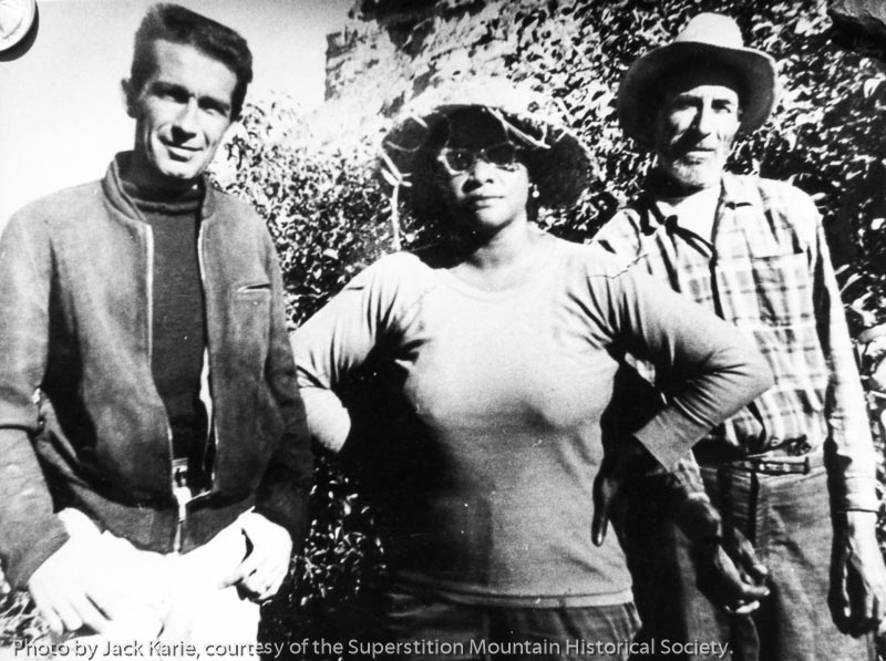
            One heavily armed band was led by Celeste Jones, a black woman who claimed to have studied music at Juilliard and sung with the Metropolitan Opera.  She traipsed about the mountains in sneakers, Bermuda shorts, sunglasses and a wide-brimmed hat.  Jones believed gold lay hidden in Weavers Needle, guarded by a band of people visible only to her.  To win their favor, she serenaded them.

            Ed Piper, a lanky white prospector, led the opposing armed camp.  He generally donned khaki trousers and, like Jones, always sported a sidearm.  He was an accomplished farmer and planted fruit trees in the desert near the base of Weavers Needle.  Both groups shared the area’s sole water source. 
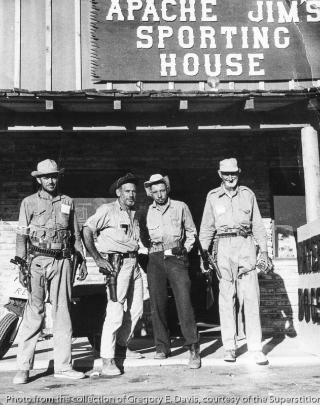
            Animosity peaked when Piper killed one of Jones’ men.  He was questioned, but for lack of witnesses, the court ruled self-defense.  Diagnosed with stomach cancer, Piper left in 1962 and died two months later.  Jones stayed another year before departing the Superstitions for good.

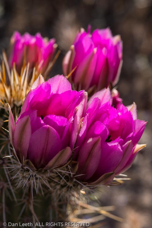
            We follow Boulder Canyon downstream to the Second Water Trail, our return route to the trailhead.  Afternoon light glints off cholla and saguaro needles.  Butterflies flutter among purple-flowered thistles, globe mallows add dollops of orange and century plants stalk upward in their single reproductive shot before death.
            “Does the mine really exist?” Dianne asks.

            Scant documentary evidence exists to support the existence of Dutchman’s diggings.  No claim was ever filed, and tax records show Waltz claimed only around $200 in personal property.  But folks occasionally lie to assessors, and locals saw Waltz brandishing gold from somewhere.

            “I believe there is a Lost Dutchman Mine,” Mike Smith, who formerly managed a local prospecting supply store, once told me.  “There are enough facts to conclude something is out there.”

            Critics speculate that Waltz may have stolen ore from the Vulture Mine northwest of Phoenix.  Others contend the Dutchman’s nuggets came from a mine in Goldfield, four miles north of Apache Junction.

            “That was a possibility,” Smith countered, “but Dr. Tom Glover did electron dispersal analysis of ores from Goldfield and the Vulture.  None matched the Dutchman’s.”

            Longtime Dutch hunter Ron Feldman, owner of Apache Junction’s OK Corral stables, suggested to me that the Dutchman’s mine may already have been totally gutted in the ’20s.

            “Think about it,” he argues.  “If you found the mine and staked a claim, foes would come right to you.  Your best bet would be to keep your mouth shut.”
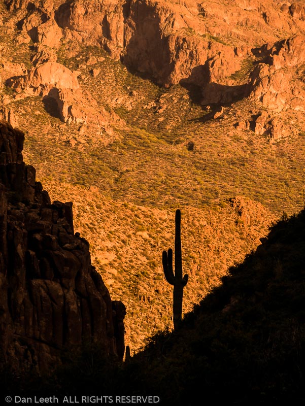
            History may never reveal the truth of the Dutchman’s gold, which is fine by me.  The lingering mystery offers a inexhaustible excuse to poke around this inspiring El Dorado.  After all, as Scotty pointed out on my first hike years ago, “If failure foiled dreamers, no one would drop a second quarter in a slot machine.”
Test

After 26 years of full-time, freelance travel writing, I’ve decided it’s time to finally hit the brakes.  Instead of researching stories, I’m going to visit places just for the sheer joy of being there.  No more interviews to schedule.  No more copious notes to take.  No more casting for storylines. 

Continue reading Test

2016 – Tucson

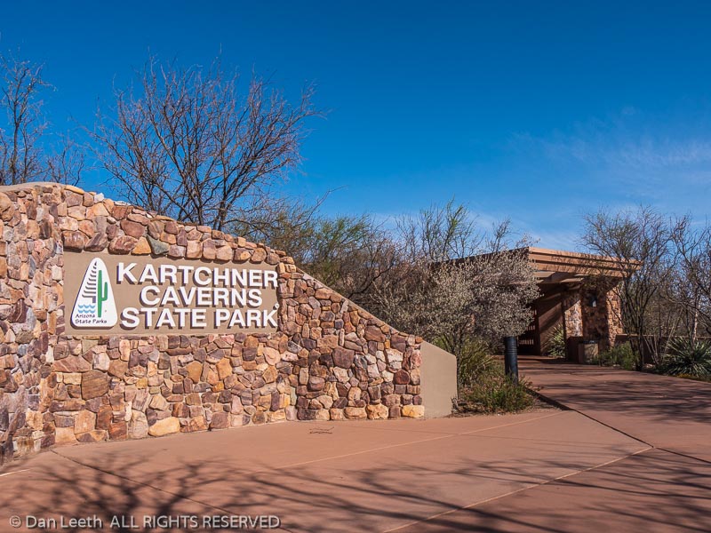
Park name sign, Kartchner Caverns State Park, Benson, Arizona.
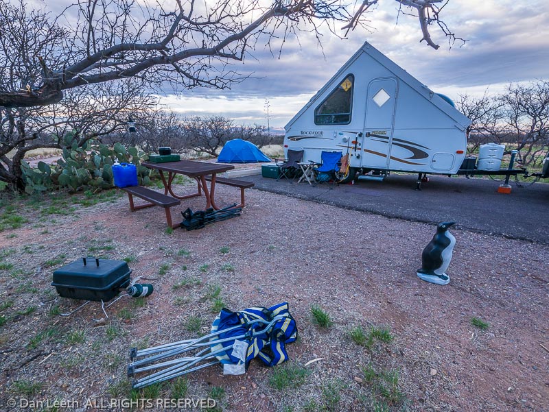
Campsite 24, Kartchner Caverns State Park, Benson, Arizona.
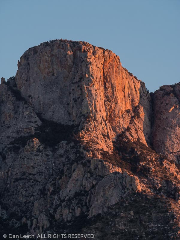
Sunset light on the cliffs of Pusch Ridge, Catalina State Park, Tucson, Arizona.
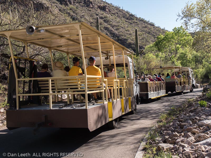
Shuttle tram, Sabino Canyon, Tucson, Arizona.
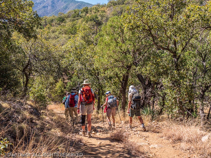
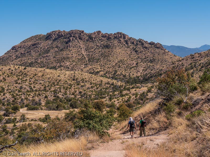
Hikers on the Kent Springs Trail, Madera Canyon, Arizona.
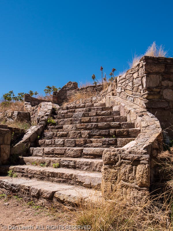
Old prison honor camp, Gordon Hirabayashi Recreation Site, Santa Catalina Mountains, Tucson, Arizona.
Brett and Mick on Sycamore Reservoir Trail, Santa Catalina Mountains, Tucson, Arizona.
Dianne Leeth hikes Molino Basin Trail, Santa Catalina Mountains, Tucson, Arizona.
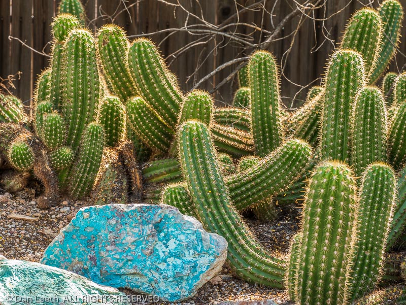
Echinopsis thelegona cactus, Tucson Botanical Gardens, Tucson, Arizona.
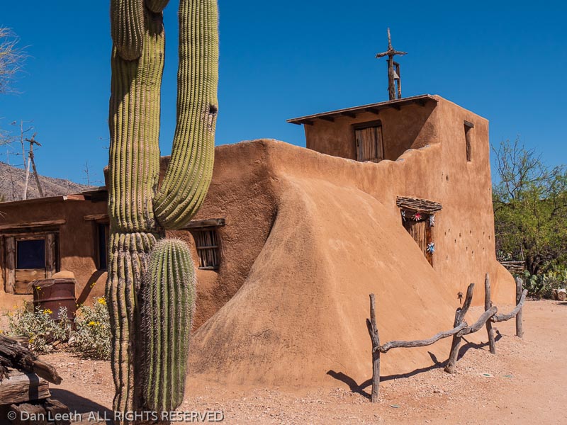
Chapel, DeGrazia Gallery in the Sun, Tucson, Arizona.
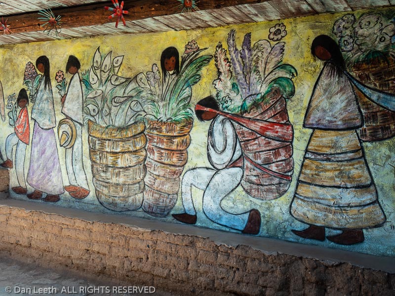
Chapel wall mural, DeGrazia Gallery in the Sun, Tucson, Arizona.
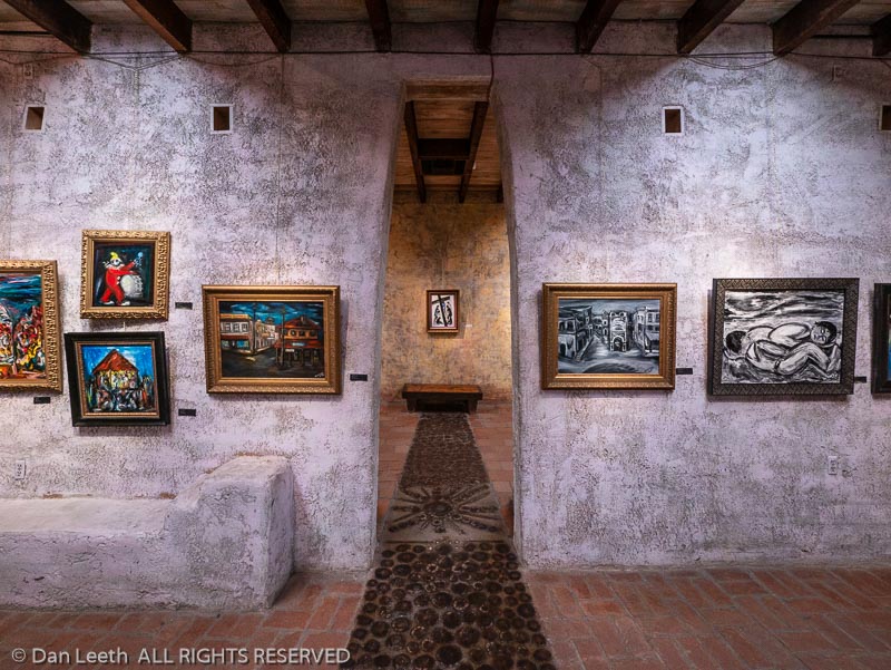
Inside galleries, DeGrazia Gallery in the Sun, Tucson, Arizona.
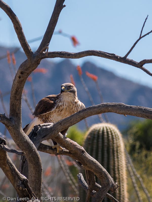
Ferruginous hawk (Buteo regalis), Arizona-Sonora Desert Museum, Tucson, Arizona.
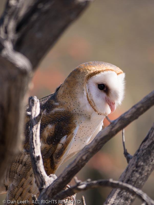
Barn owl (Tyto alba), Arizona-Sonora Desert Museum, Tucson, Arizona.
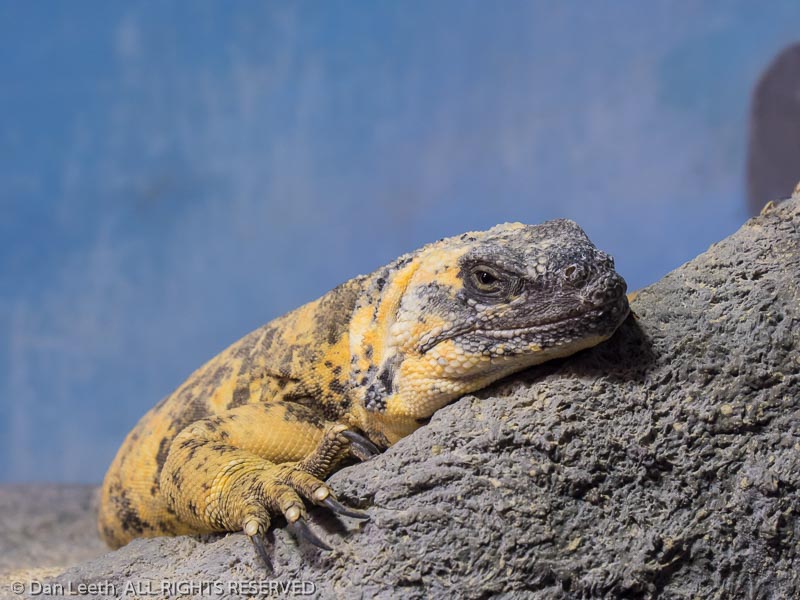
Isla San Esteban chuckwalla (Sauromalus varius), Arizona-Sonora Desert Museum, Tucson, Arizona.
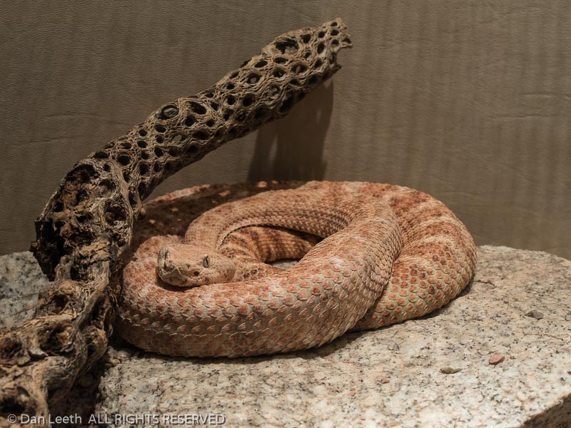
Speckled rattlesnake (Crotalus mitchellii), Arizona-Sonora Desert Museum, Tucson, Arizona.
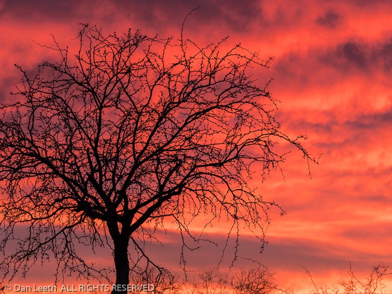
Sunset, Catalina State Park, Tucson, Arizona.

2015 – Arches

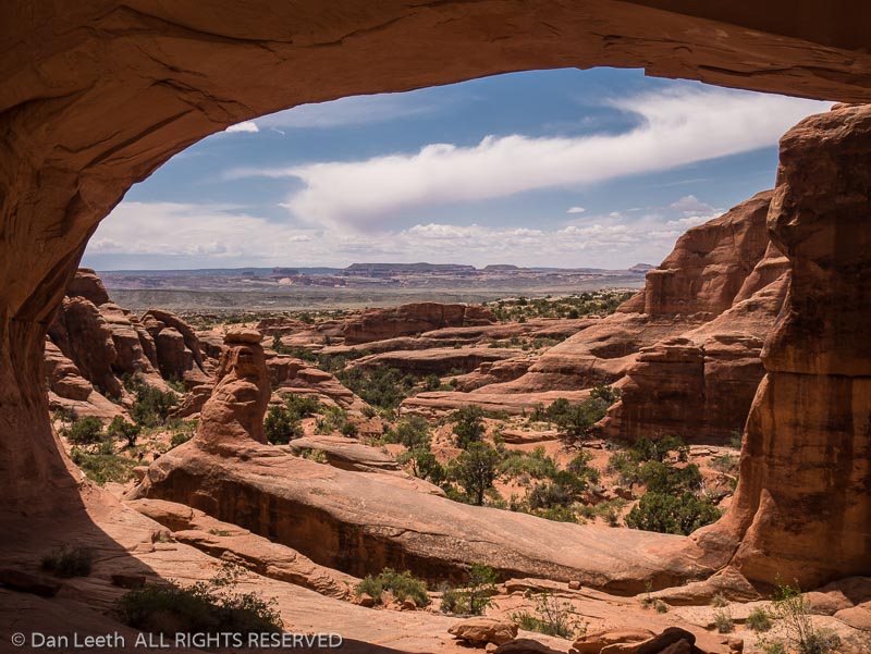
Tower Arch, Klondike Bluffs Trail, Arches National Park, Moab, Utah.
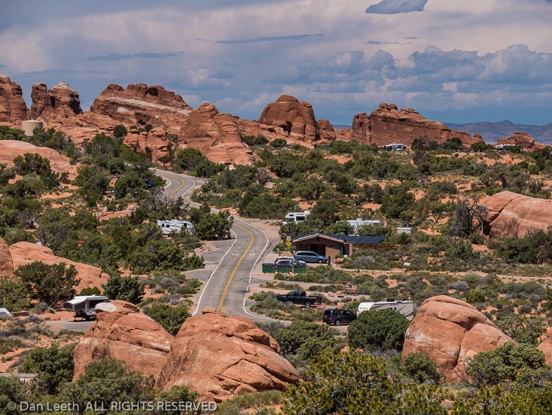
Devil’s Garden Campground, Arches National Park, Moab, Utah.
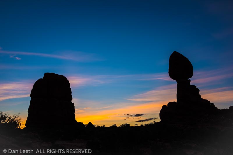
Balanced Rock at dawn, Arches National Park, Moab, Utah.
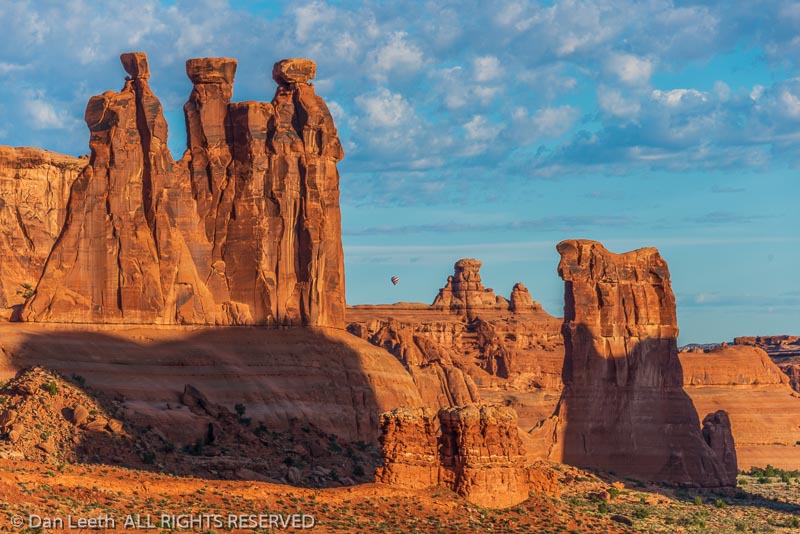
Balloon over the cliffs, Arches National Park, Moab, Utah.
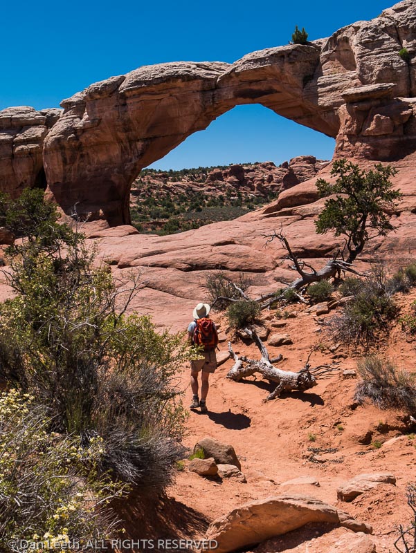
Dianne Leeth at Broken Arch, Arches National Park, Moab, Utah.
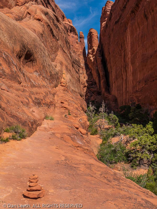
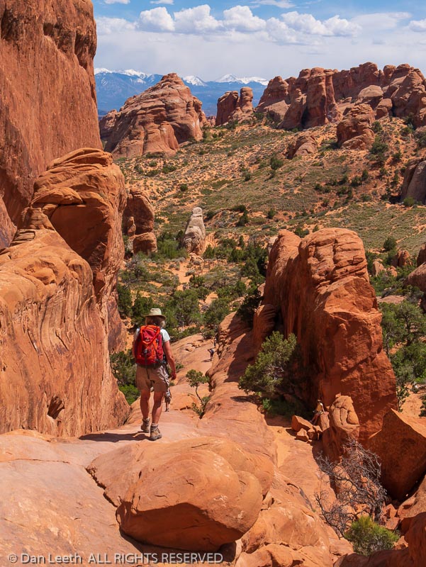
Devil’s Garden Trail, Arches National Park, Utah.
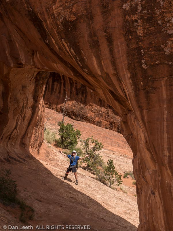
Private Arch, Devil’s Garden Trail, Arches National Park, Utah.
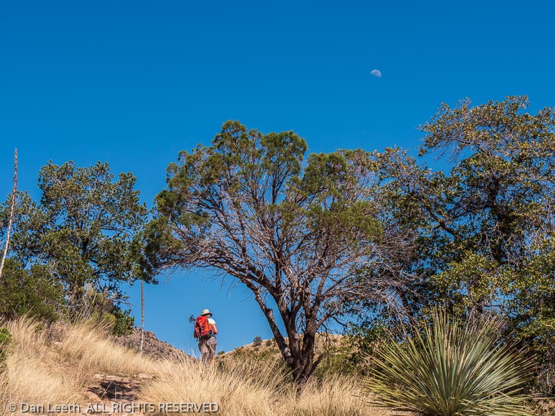
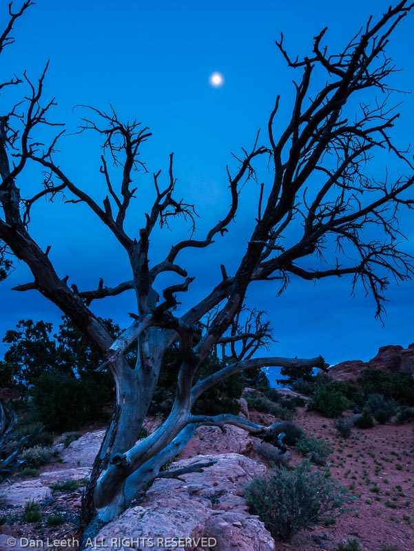
Dead juniper and moon, Devil’s Garden Campground, Arches National Park, Moab, Utah.
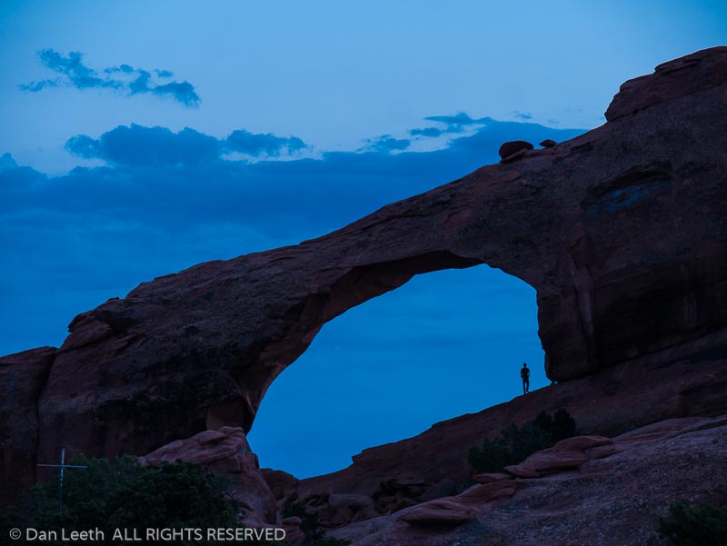
Skyline Arch at sunset from Devil’s Garden Campground, Arches National Park, Moab, Utah.

2019 – Minnesota-Wisconsin-Michigan Upper Peninsula

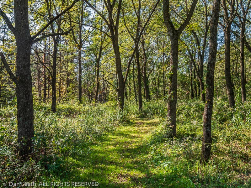
Trail from the Cedar Hill Campground, Whitewater State Park, Altura, Minnesota.
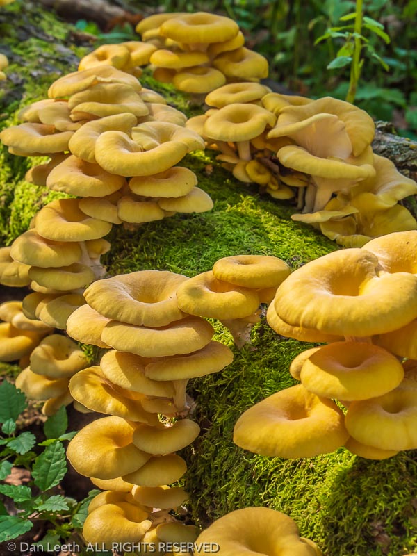
Yellow mushrooms, Whitewater State Park, Altura, Minnesota.
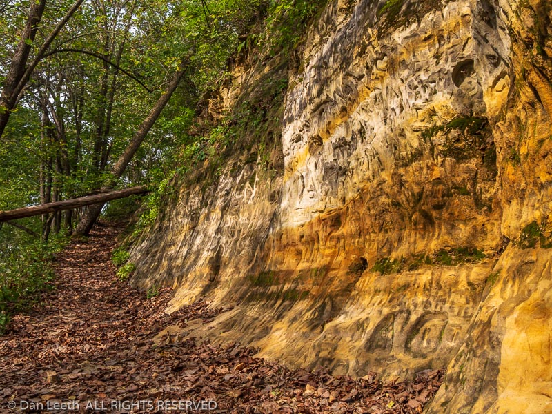
Soft sandstsone beside the river, lower Chimney Rock Trail, Whitewater State Park, Altura, Minnesota.
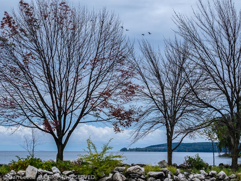
Autumn trees, Sunset Park, Sturgeon Bay, Door County, Wiscosin.
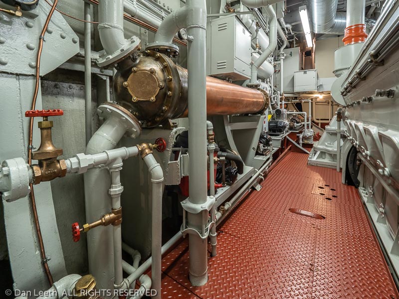
Engine room, John Purves tugboat, Door County Maritime Museum, Sturgeon Bay, Wisconsin.
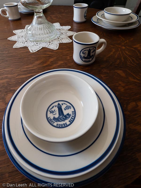
Lighthouse service tablewear, Pottawatomie Lighthouse keeper’s residence, Rock Island State Park, Door County, Wisconsin.
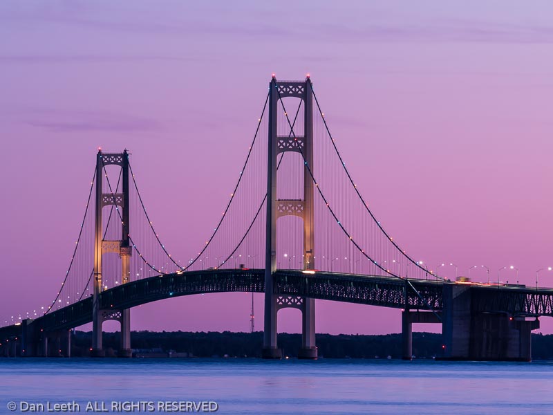
Mackinac Bridge at dusk from Strait’s State Park, St. Ignace, Upper Peninsula, Michigan.
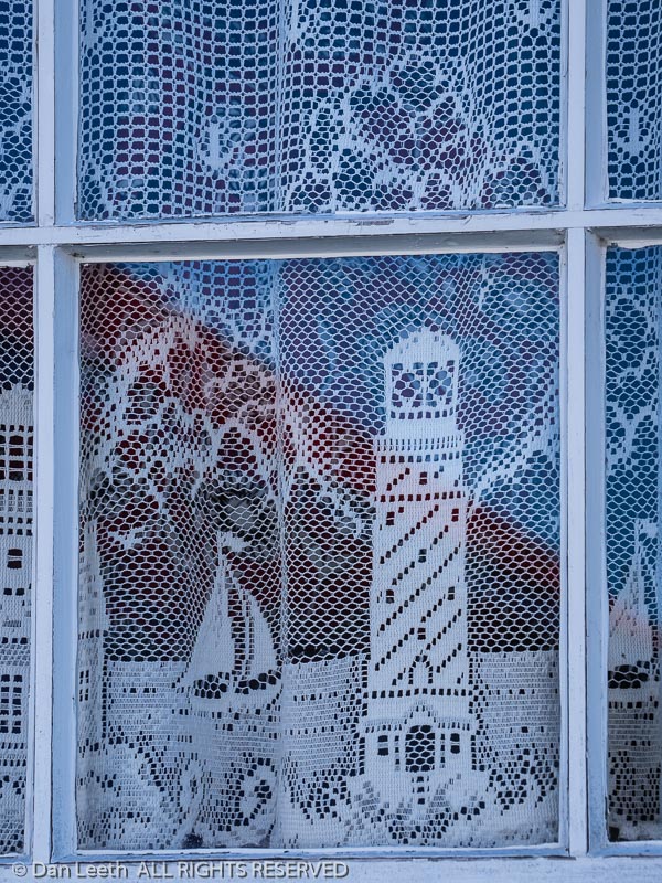
Curtains in the lighthouse keeper’s quarters, Great Lakes Shipwreck Museum, Whitefish Point Light Station, Paradise, Michigan.
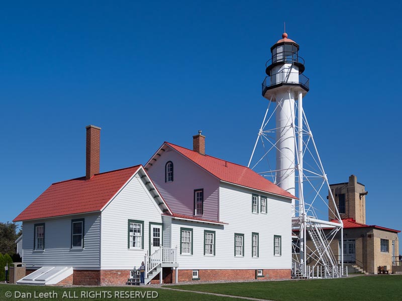
Great Lakes Shipwreck Museum, Whitefish Point Light Station, Paradise, Michigan.
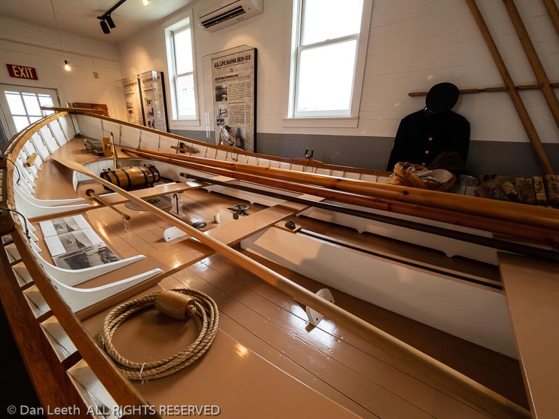
Whitefish Point U.S. Coast Guard surfboat, Great Lakes Shipwreck Museum, Paradise, Michigan.

2019 – Utah-Nevada-Idaho-Utah

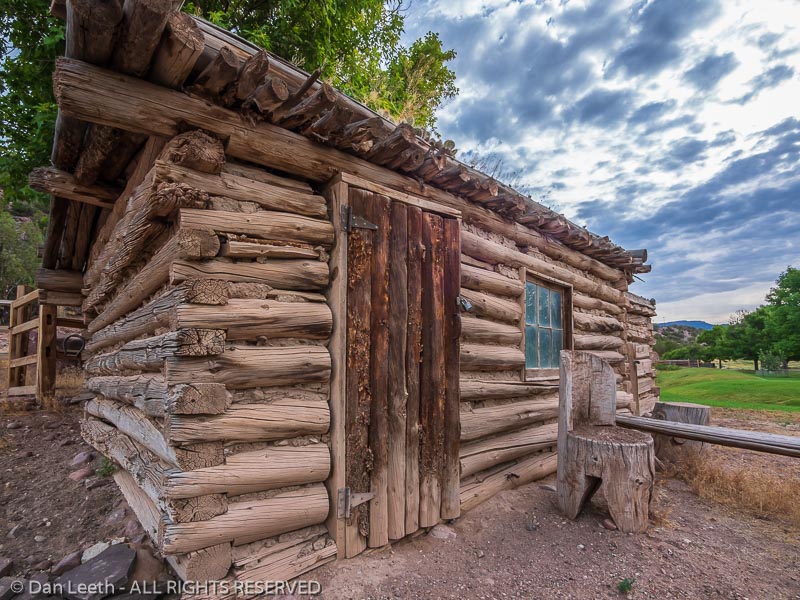
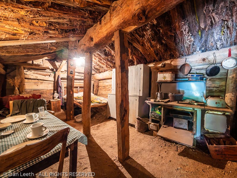
Inside the dugout, John Jarvie Historic Property, Browns Park, Utah.
Chicken coop, John Jarvie Historic Property, Browns Park, Utah.
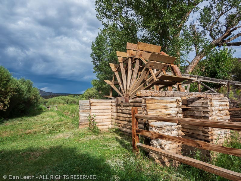
Water wheel, John Jarvie Historic Property, Browns Park, Utah.
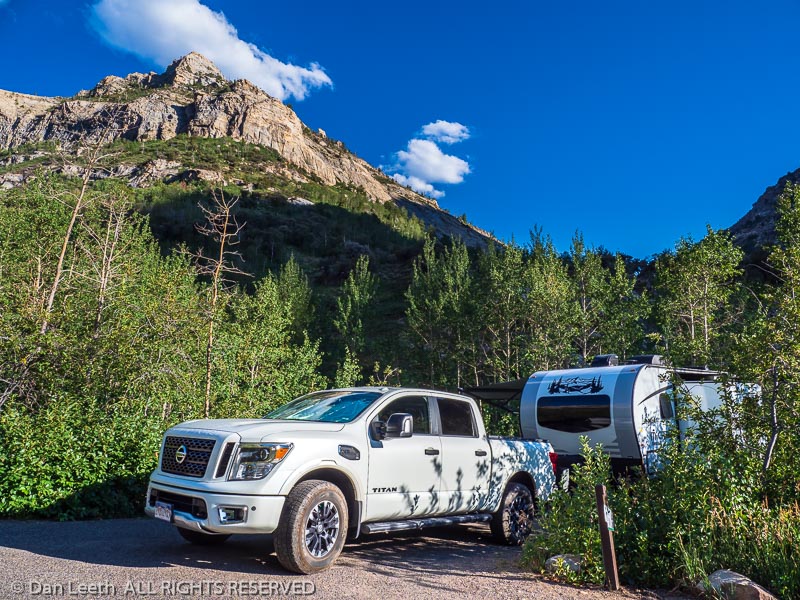
Trailer in campsite 34, Thomas Creek Campground, Lamoile Canyon, Ruby Mountains near Elko, Nevada.
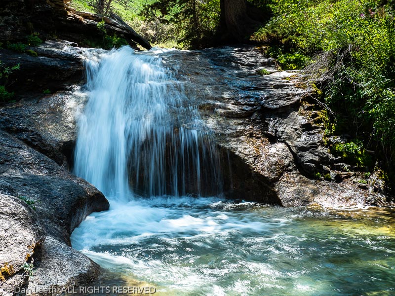
Waterfall in Thomas Creek, Thomas Canyon Trail, Lamoile Canyon in the Ruby Mountains near Elko, Nevada.
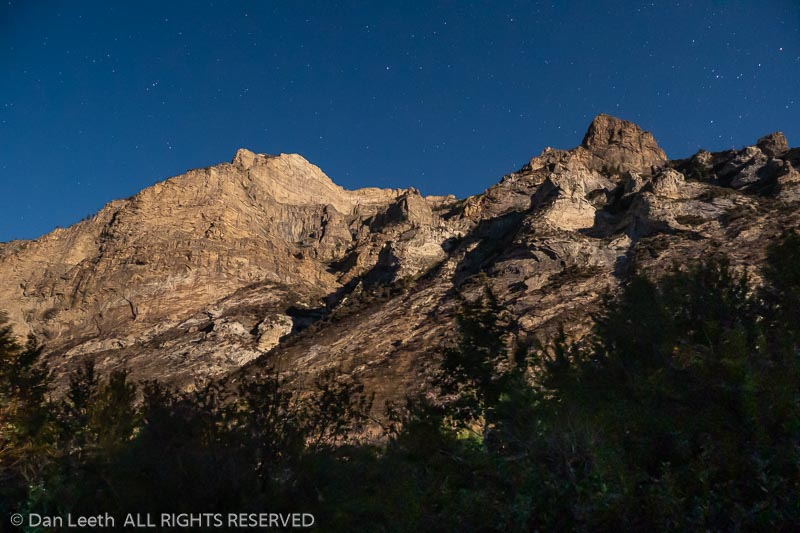
Peaks by moonlight, campsite 34, Thomas Creek Campground, Lamoile Canyon, Ruby Mountains near Elko, Nevada.
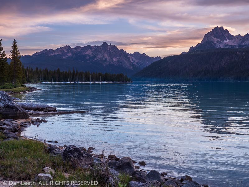
Redfish Lake at dusk, Sawtooth National Recreation Area, Stanley, Idaho.
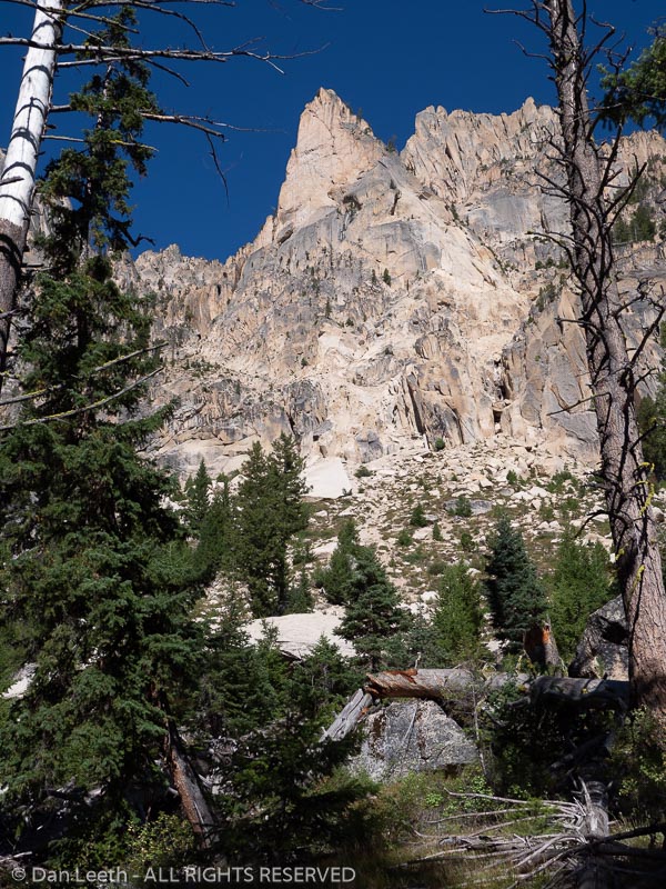
Peaks along the Redfish Lake Creek Trail, Sawtooth National Recreation Area, Stanley, Idaho.
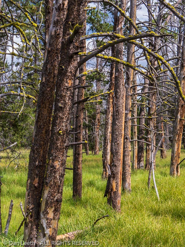
Dead trees and grass, Fishhook Creek Trail, Sawtooth National Recreational Area, Stanley, Idaho.
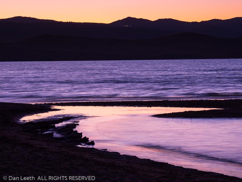
Beach at dusk, Bear Lake State Park, Rendezvous Beach, Garden City, Utah.
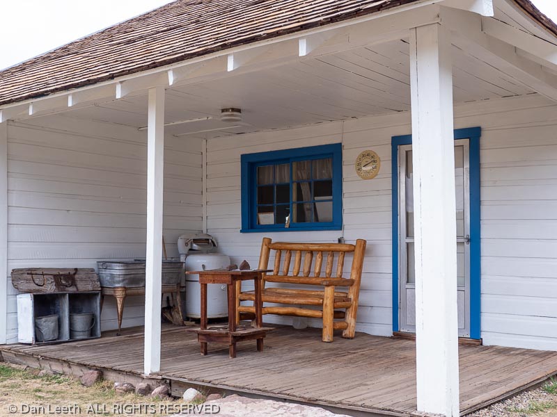
Front porch of main house, Swett Ranch National Historic site, Flaming Gorge National Recreation Area near Dutch John, Utah.
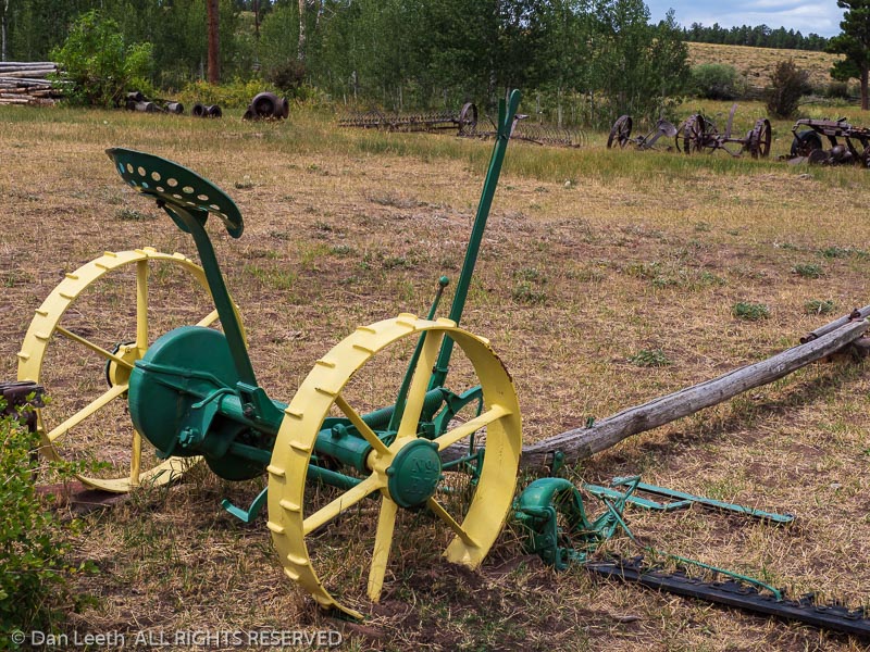
Old John Deere farm equipment, Swett Ranch National Historic site, Flaming Gorge National Recreation Area near Dutch John, Utah.
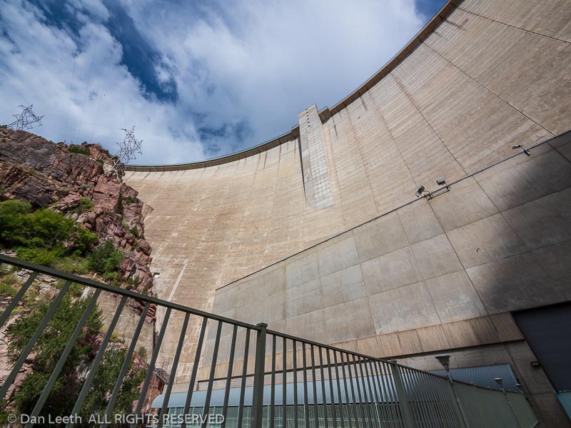
From the bottom of the dam looking up, Flaming Gorge Dam, Flaming Gorge National Recreation Area, Dutch John, Utah.
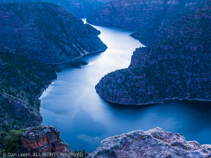
Flaming Gorge Reservoir in Red Canyon at dusk, Red Canyon Visitor Center, Ashley National Forest, Flaming Gorge National Recreation Area near Dutch John, Utah.
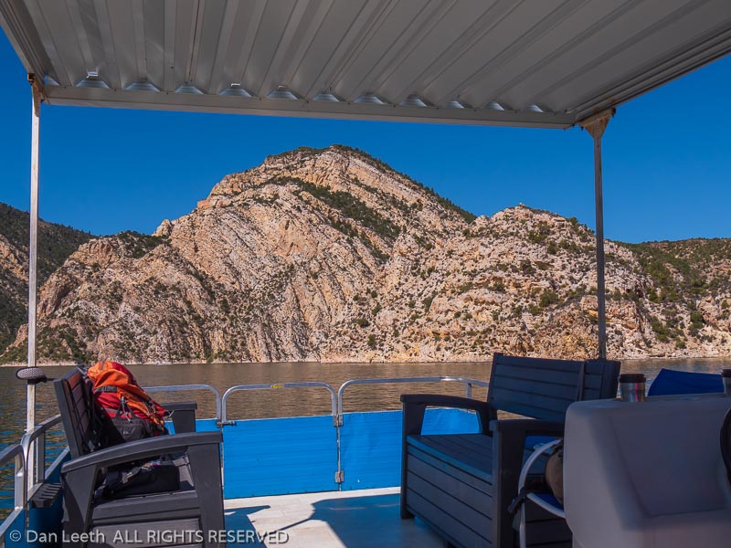
View from the boat, Flaming Gorge Reservoir, Flaming Gorge National Recreation Area near Dutch John, Utah.
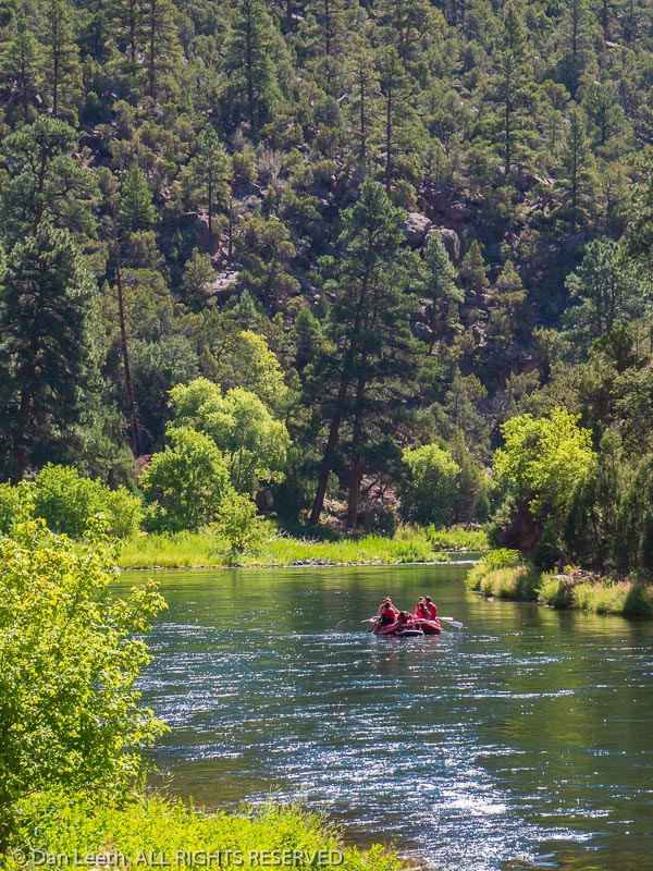
Raft floats the Green River, Little Hole Trail, Ashley National Forest, Flaming Gorge National Recreation Area near Dutch John, Utah.
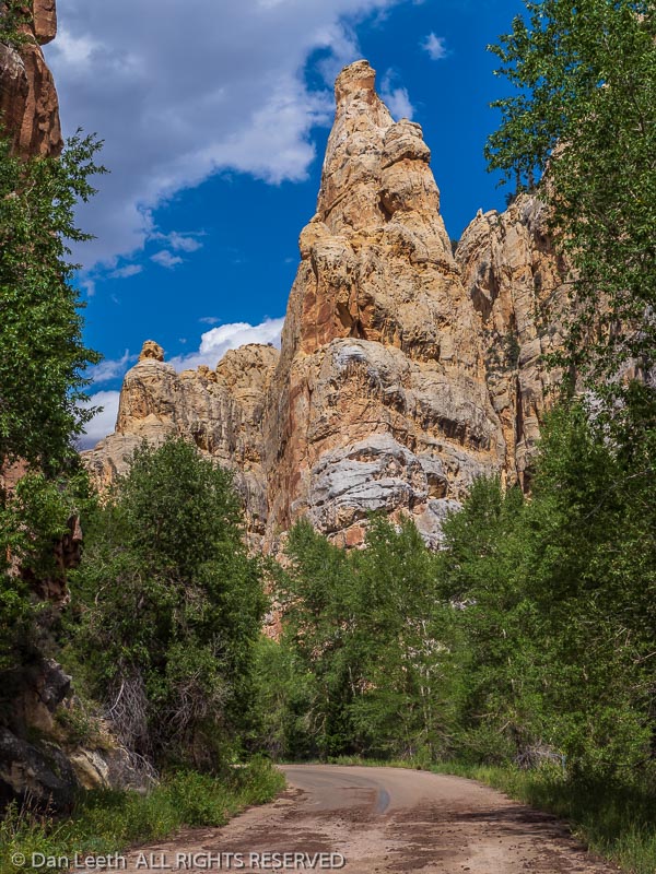
Tower Rock, Sheep Creek Canyon Geological Area, Ashley National Forest, Utah.
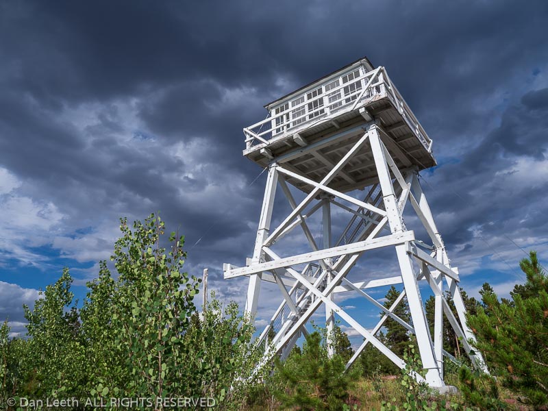
Ute Mountain Fire Tower National Historial Site, Ashley National Forest, Utah.
The Cumbres & Toltec Scenic Railroad Offers a
Colorful Autumn Excursion on Tracks Through the Past

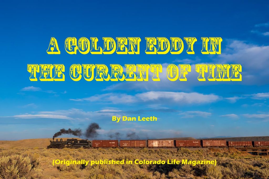
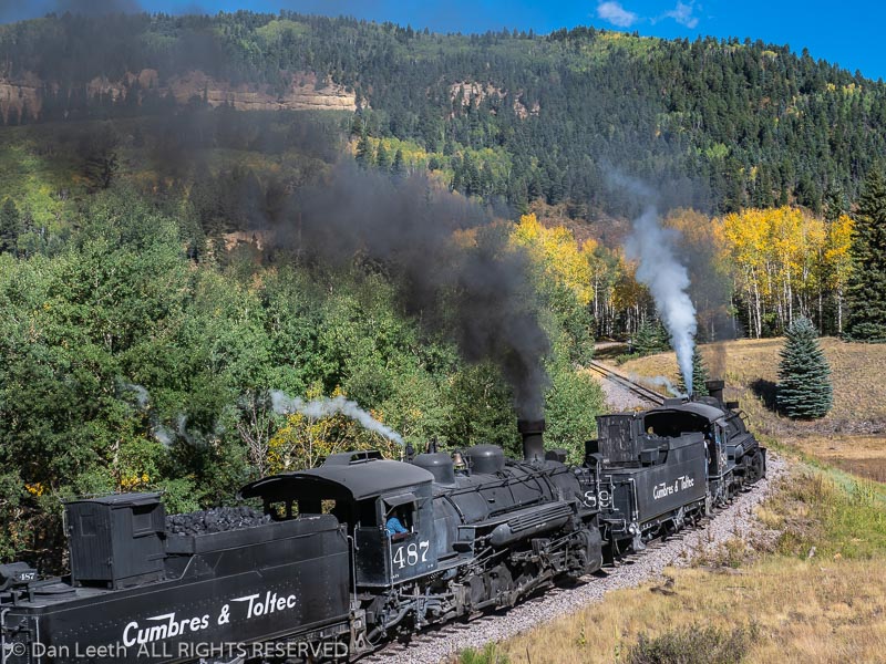
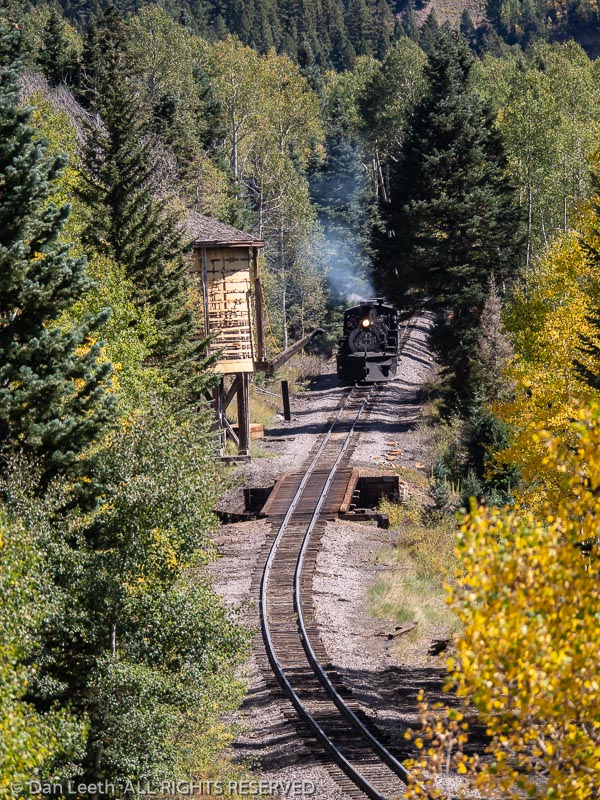
In the movie “Back to the Future,” a plutonium-powered DeLorean sportscar catapulted Michael J. Fox’s character, Marty McFly, 30 years into the past.  Onboard the Cumbres & Toltec Scenic Railroad, a coal-fired locomotive does a similar thing, transporting me and my fellow passengers a century and more back in time.

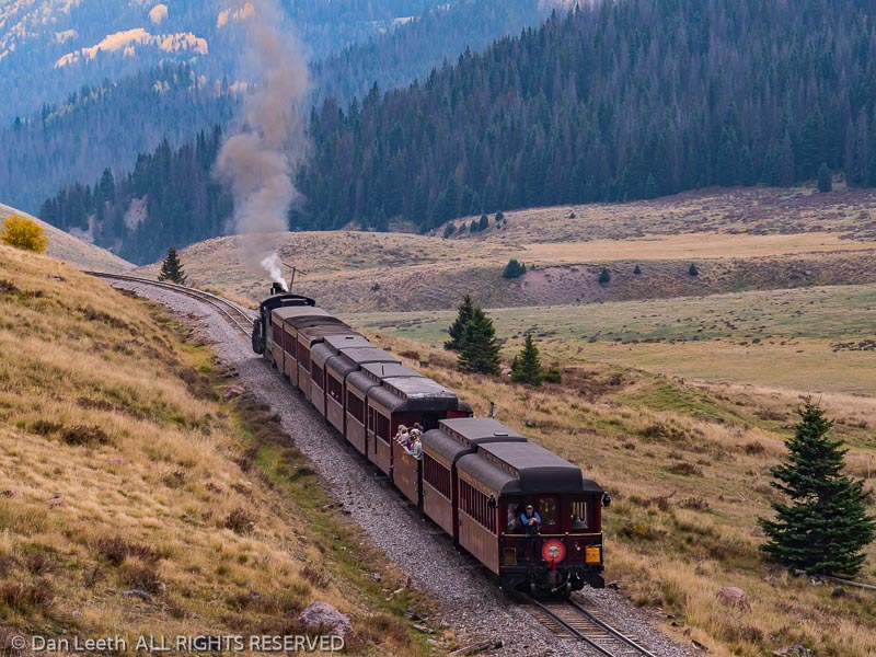
The longest and loftiest narrow-gauge route remaining in the country, the Cumbres & Toltec snakes back and forth along the state line between Antonito, Colorado, and Chama, New Mexico.  Just as passengers have done since the train’s inception, we hear steam-driven pistons throb and wheels clack as cars sway down the tracks.  Billowing smoke from the boiler scents the air with the heady aroma of burning coal.  Over most of its 64-mile route, there are no paved roads, no powerlines and to the dismay of social-media addicted teens, no WiFi, internet or cell coverage.  A panorama of wilderness-worthy scenery passes by in blissfully slow motion.

 “It’s the past as far as the eye can see in any direction,” observes Cumbres & Toltec president John Bush.  “It’s this eddy in the current of time.”
The route dates back to the early 1880s when the Denver & Rio Grande Railroad laid tracks linking Colorado’s capital with the mining mecca of Silverton.  Rather than using standard gauge with rails spread 56½ inches apart, the Denver & Rio Grande placed its rails 36 inches apart so their trains could make tighter turns through sinuous mountain terrain.  While many of the line’s narrow-gauge tracks were later converted to standard, the route between Antonito and Silverton remained unmodified.  Today, the preserved sections from Durango to Silverton and Antonito to Chama offer scenic escapes into a bygone time.

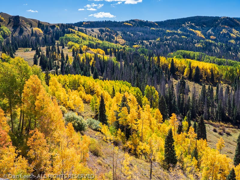
Unlike its more northerly sister, which follows the Animas River through a lush canyon, the Cumbres & Toltec climbs through the mountains with sweeping views of hills and valleys along the way.  Come fall, those slopes glisten with the Midas-touched leaves of autumn aspen.

“Riding this train is on my bucket list,” an excited passenger told me over breakfast at the vintage Steam Train Hotel in Antonito.

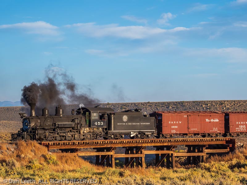
One-way Cumbres & Toltec journeys depart daily from either end.  On this journey, I chose to head westbound from Antonito, which allowed me to watch herds of pronghorn dart across the San Luis Valley in the crisp light of morning.  After the conductor punched my ticket, I left my reserved seat in a closed passenger car and headed for the open gondola where docents from Friends of the Cumbres & Toltec provide a commentary about what we’re seeing.  As we approached a wooden trestle five miles from town, docent Bob Ross related a tale of its multiple monikers.

“There are two stories, the first of which I don’t believe,” he admitted.  “Theoretically in 1880, they hung a guy named Ferguson off this trestle.  That’s why they called it Hangman’s or Ferguson’s Trestle.  The second story is definitely true.  Willy Nelson made a movie out here in 1988 called ‘Where the Hell is That Gold.’  During the filming, they accidently burned the trestle down.  So, they had to build us a new one.  We now call it the Willie Nelson Trestle.”
A trackside sign soon revealed that we’d passed into New Mexico, the first 11 border crossings.  We’d gained several hundred feet in altitude, and the sage and rabbitbrush of the San Luis Valley were giving way to piñon and juniper.  Crossing back into Colorado, we rounded Whiplash Curve, a series of horseshoe-shaped loops needed to maintain an ascent angle of less than 1½ percent or roughly 80 vertical feet per linear mile. 

As the piñon and juniper slowly surrendered territory to ponderosa pine, we were treated to sneak peeks of the autumn magnificence that lingered ahead.  Trackside willows shimmered with gilded leaves.  Nuggets of golden aspen began to salt slopes and line the tracks.  A motherlode of 24-karat color sluiced down hillsides beyond. 

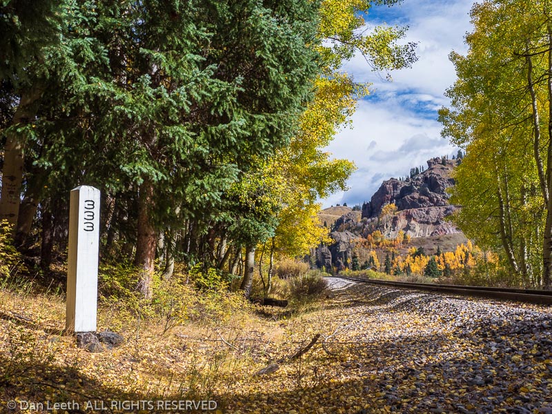
The train stopped at the former railroad station of Sublette to take on water.  Here, in seemingly the middle of nowhere, stands the home where a section foreman and his family once lived year-round.  There were seven such section houses between Antonito and Chama, but only three remain.  They have all been restored by the Friends along with trackside signs, whistle boards and mileage markers along the route.

 “About 10 years ago we were out here painting the mileposts,” Ross told us.  “All of a sudden, we heard something and looked up the hill.  A mountain lion was staring down at us from maybe 50 feet away.  Fortunately, the lion was not hungry, and we were able to get out of there without any problems.”
One of the advantages of narrow-gauge trackage was that many obstacles could be rounded and tunnels avoided.  There are two exceptions on the Cumbres & Toltec.  The first is the 342-foot-long Mud Tunnel, so named because it was bored through soft, loose volcanic material.  It needed to be lined with heavy timbers to keep ceilings and walls from caving in.   It, too, was featured in Willie Nelson’s movie.  Fortunately, his pyro-crew avoided setting this one aflame.

We rounded a curve lined with freestanding rock pillars known as hoodoos.  These monoliths cast eerie shadows in locomotive headlights at night, causing crewmen to christen it “Phantom Curve.” 

Three miles later, we reached a bar hanging above the tracks with weighted ropes dangling down.  Called a telltale, its purpose was to bonk the heads of brakemen walking atop boxcar roofs, warning them to duck.  Rock Tunnel lay just ahead.

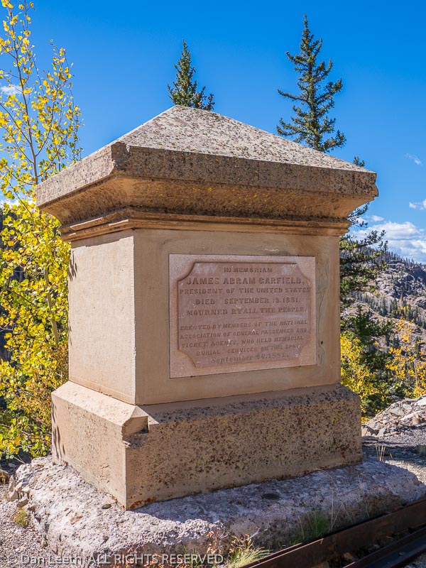
The 366-foot, curving shaft was blasted through solid igneous rock and needed no shoring.  Immediately beyond, we enjoyed a quick glimpse into Toltec Gorge where sheer cliffs plummet 600 feet to the canyon’s floor.  A sign asks passengers to not throw rocks as there may be fishermen below.  Beyond stands a monument to James A. Garfield, America’s second president to be assassinated in office.

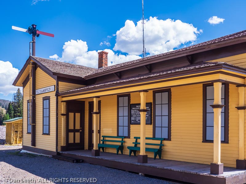
A bit past high noon, both the westbound and eastbound trains converge at Osier Station where a hot lunch, included in the ticket price, is served.  Here, the railroad built a section house and depot, which the Friends have restored and opened to visitors. 

While we stuff stomachs, wrench-wielding crewmen oiled bearings, checked brakes and attended to other maintenance needs.  Unlike a living history museum where staff mimic tasks for show, crewmen on the Cumbres & Toltec perform the very same jobs their forebearers did to keep the trains running.  Not only are the tasks the same, but many of the employees come from families who have worked on the railroad for generations, including our conductor’s son who’s a fifth-generation railway worker.

Back onboard, we crossed the 13-story-high Cascade Trestle, looped a hill, circled a meadow and chugged past a few summer homes.  Here we got our first glimpse of Highway 17 connecting Antonito and Chama.  Topping Tanglefoot Curve, we crossed the highway and stopped for water atop 10,015-foot Cumbres Pass where a depot, section house and other historic buildings still stand.

Cumbres Pass was a busy place in the old days.  Because long, eastbound freight trains couldn’t ascend the four-percent grade from Chama, cars needed to be uncoupled in town and hauled up a dozen or so up at a time.  When all the cars were atop Cumbres, they would be reconnected to a single locomotive and hauled down to Antonito and beyond.  Even today, if more than eight cars are in the train, the railroad has to use a double-header arrangement up Cumbres with a pair of locomotives linked together to power the train to the top of the hill.

Departing Cumbres, we wound around Windy Point and began our steep descent toward Chama.  The open valley beyond looked like a giant fruit bowl bursting with shades of lime green, lemon yellow and tangerine orange.  The pavement winding below provided a silvery bow through this cornucopia of color.  Where tracks recrossed the highway at the bottom stood a gaggle of camera-toting railroad groupies.  Like paparazzi shadowing stars in a Technicolor blockbuster, they filled their memory cards with pictures of us as we chugged by.

Passing the Cresco Water Tank, we entered New Mexico for the final time.  The land flattened out.  I saw cattle grazing near the tracks, some of which looked as hairy as a Summer of Love hippie.  They’re Asian yaks being bred for meat. 

We passed the fake, movie-set water-tower pipe that the young Indy swung from in “Indiana Jones and the Last Crusade.”  No fewer than 15 movies have been filmed on the Cumbres & Toltec line. 

After traversing a narrow section of the route, appropriately named the Narrows, we cross the Chama River on a steel-truss bridge, waved to campers at the Rio Chama RV Park and entered the rail yard where locomotives and scores of bygone freight cars line the sidings. 

The present-day world awaited, but unlike Marty McFly, I didn’t need a silvery DeLorean to power me there.  A thoroughly modern bus idled beside the depot, ready to whisk me and my fellow passengers back to the 21st century. 

2019 New Mexico-Colorado

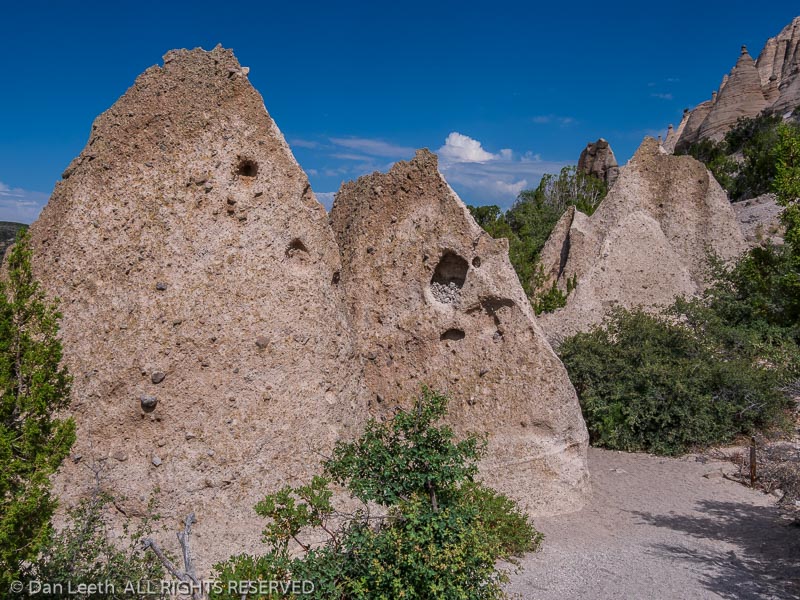
Tent-shaped rocks, Kasha-Katuwe Tent Rocks National Monument. New Mexico.
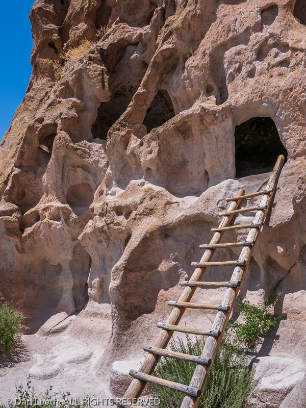
Ladder to cavates, Bandelier National Monument, Los Alamos, New Mexico.
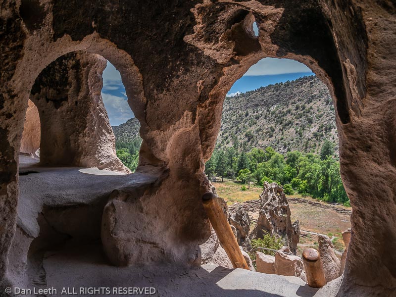
Looking out from a cavate, Bandelier National Monument, Los Alamos, New Mexico.
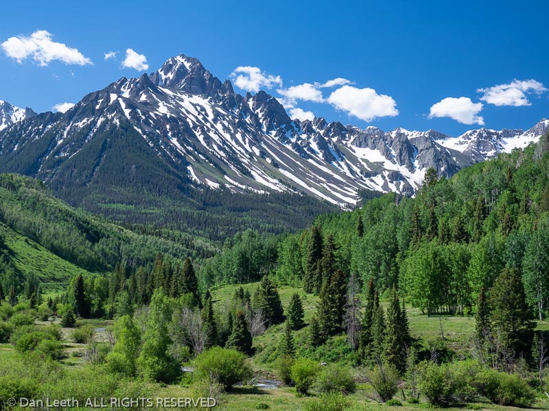
Mt. Sneffels from Dallas Creek Road, County Road 7, San Juan Mountains near Ridgway, Colorado.
East Fork of Dallas Creek, Dallas Creek Road, County Road 7, San Juan Mountains near Ridgway, Colorado.
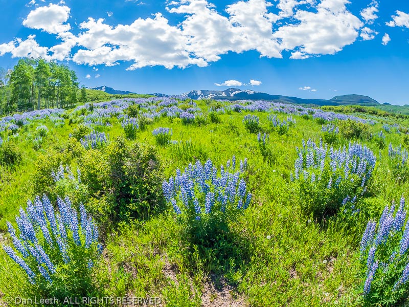
Lupine on a hillside, Last Dollar Road, County Road 58P, San Juan Mountains near Ridgway, Colorado.
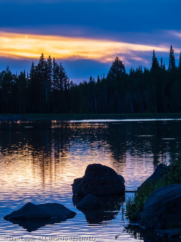
Sunset at Sunset Lake, Grand Mesa National Forest, Colorado.
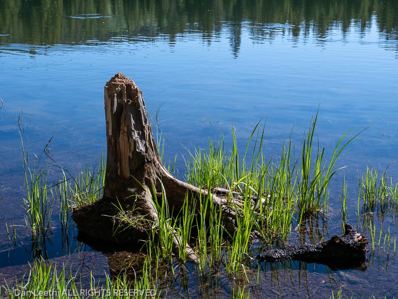
Plants in the water, Carp Lake, Grand Mesa National Forest, Colorado.
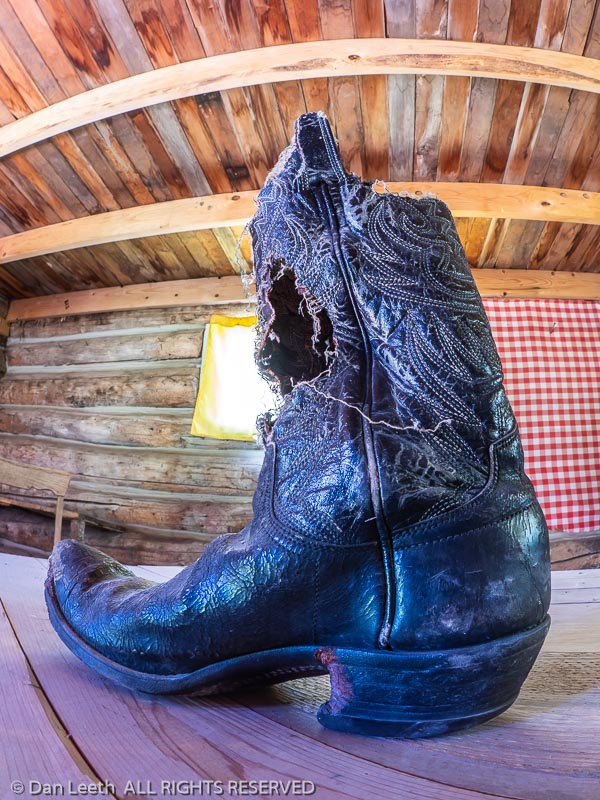
Boot inside one of the cabins at Raber Cow Camp, Lands End Road, Grand Mesa National Forest, Colorado.
Bucket of balls, Suplizio Field, Grand Junction Rockies, Grand Junction, Colorado.
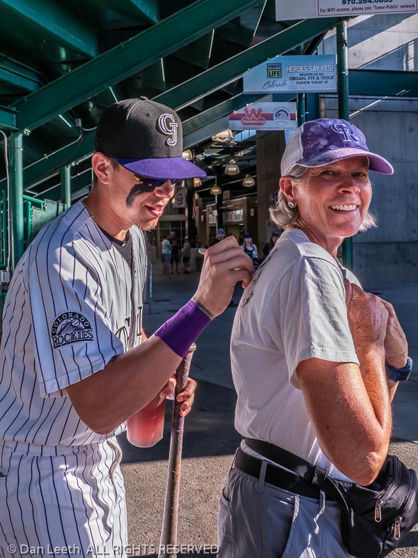
Infielder Christian Koss signs an autograph, Suplizio Field, Grand Junction Rockies, Grand Junction, Colorado.
Beer-batter Bud Light being poured, Suplizio Field, Grand Junction Rockies, Grand Junction, Colorado.

2019 – Utah Canyon Country

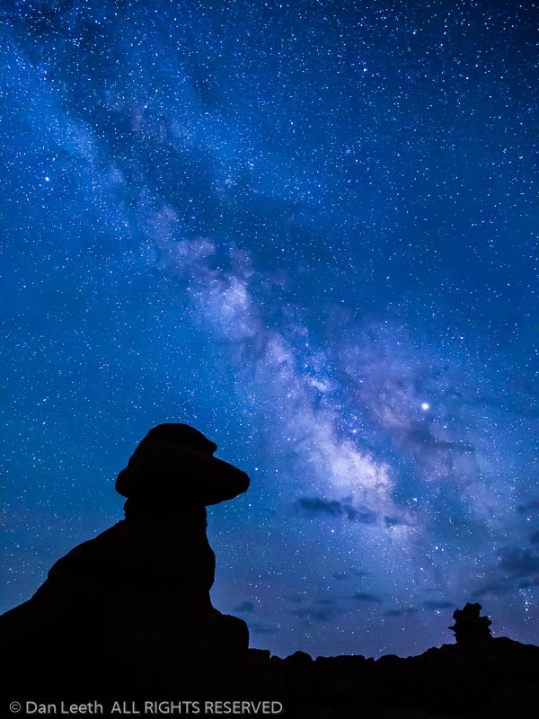
Hoodoos and the Milky Way, Goblin Valley State Park, Hanksville, Utah.
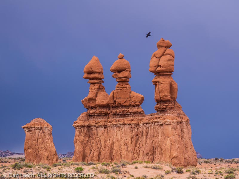
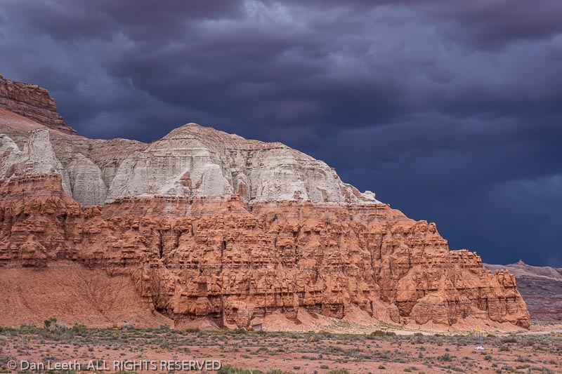
Storm behind the Three Sisters hoodoos, Goblin Valley State Park, Hanksville, Utah.
Storm behind Wild Horse Butte, Goblin Valley State Park, Hanksville, Utah.
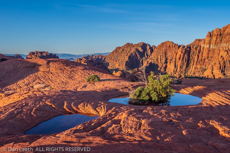
Water-filled pothole, Petrified Dunes, Snow Canyon State Park, Saint George, Utah.
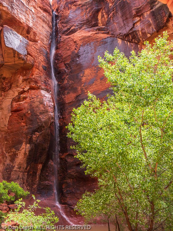
Waterfall in Johnson Canyon, Johnson Canyon Trail, Snow Canyon State Park, Saint George, Utah.
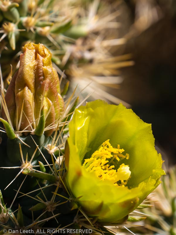
Golden cholla blossom, Padre Canyon Trail, Snow Canyon Stte Park, Saint George, Utah.
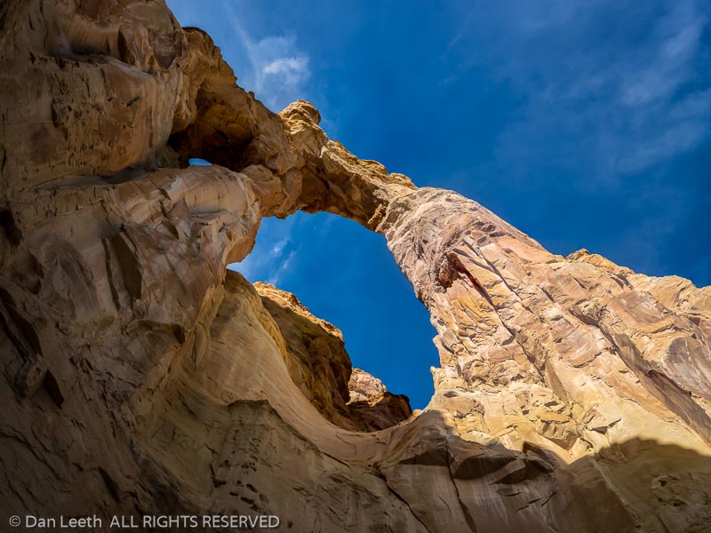
Grosvenor Arch, Cottonwood Wash Road 400, Grand Staircase-Escalante National Monument south of Cannonville, Utah.
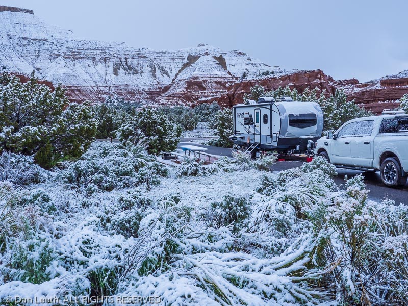
Trailer in the snow, Basin Campground, Kodachrome Basin State Park, Cannonville, Utah.
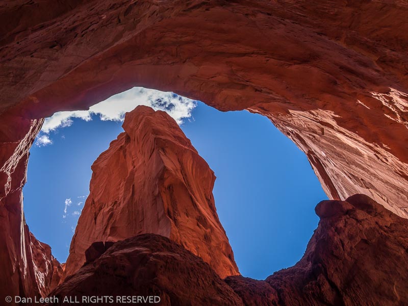
Sky through Cool Cave slot canyon Panorama Trail, Kodachrome Basin State Park, Cannonville, Utah.

2019 – Arizona-Texas

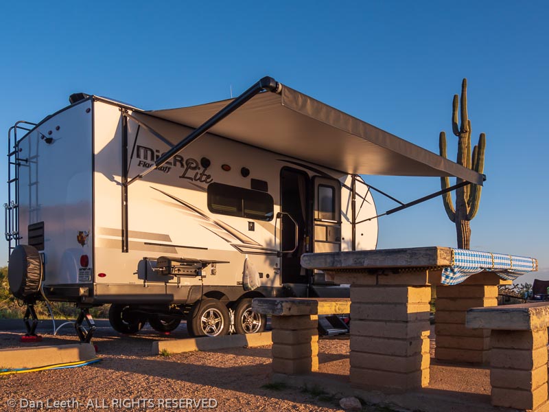
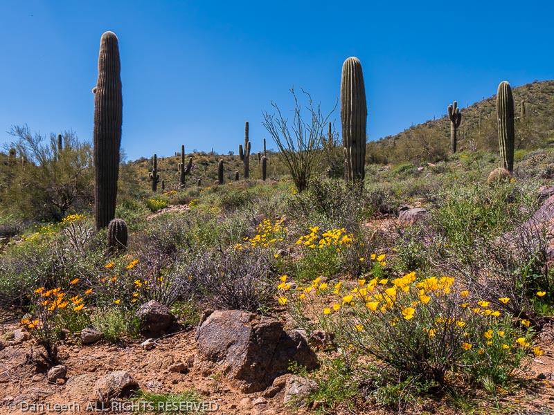
Trailer in campsite 16, Buckhorn Campground, Usery Mountain Regional Park, Mesa, Arizona.
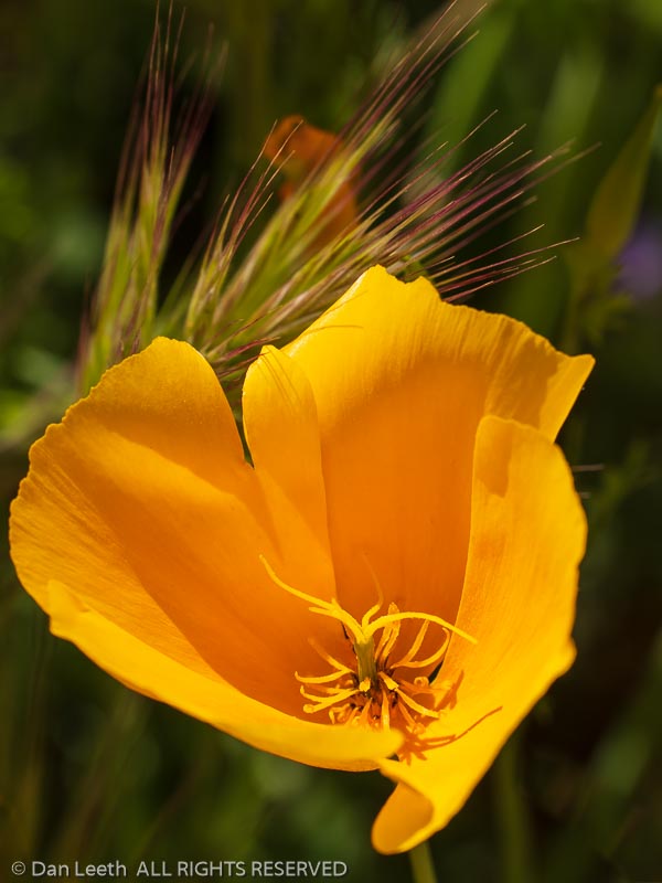
Mexican gold poppy, California poppy (Eschscholzia californica) along the Pass Mountain Trail, Usery Mountain Regional Park, Mesa, Arizona.
Mexican gold poppy, California poppy (Eschscholzia californica), Pass Mountain Trail, Usery Mountain Regional Park, Mesa, Arizona.
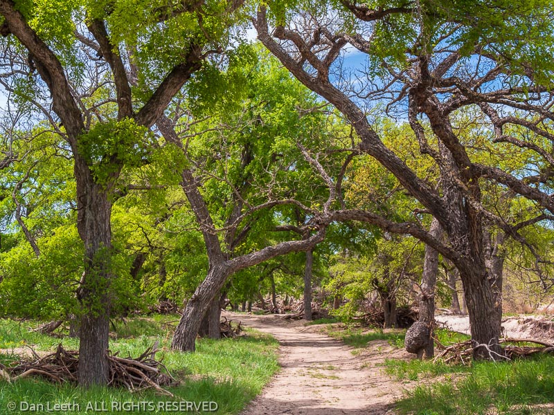
River Trail, South Llano River State Park, Junction, Texas.
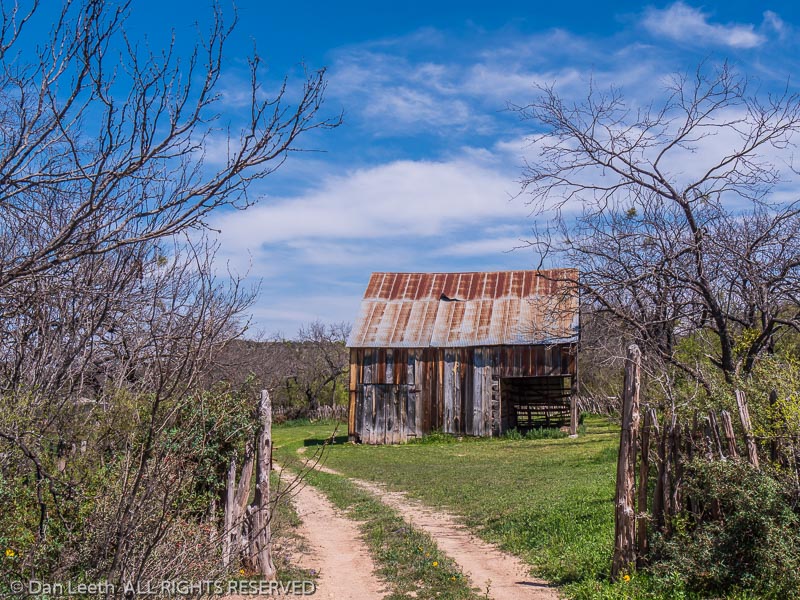
Old barn on the Old Barn Trail, South Llano River State Park, Junction, Texas.
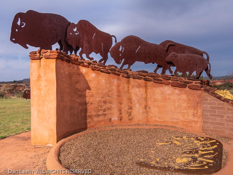
Bison sculptures, Interpretative Center, Caprock Canyons State Park, Quitaque, Texas.
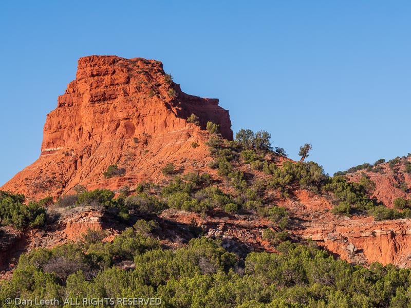
Formations along the North Prong Spur Trail, Caprock Canyons State Park, Quitaque, Texas.